Gun Barrel City is a town in Henderson County, Texas, United States. Its population was 6,190 at the 2020 census, up from 5,672 at the 2010 census.
The town began as an unincorporated community known as the “Old Bethel Community” in the 1960s after completion of Cedar Creek Reservoir. It was incorporated in the late 1960s so it could legally sell beer and wine. The town takes its name from a former road, Gun Barrel Lane (which is now State Highway 198), as has as its motto, “We Shoot Straight with You”, and its symbol—a rifle with two crossed antique pistols after having to remove Yosemite Sam as its unofficial mascot on its signs along the road at the town limits. Gun Barrel Lane is rumored to have gotten its name during the 1920s and 1930s when Jesse Daniels frequented the area. It was considered a safe backwoods place during Prohibition when the likes of Clyde Barrow and Bonnie Parker hung out in the area. The road got its name for simply being “straight as a gun barrel” for 2 mi between US Hwy 175 and Texas Hwy 334 to the south. A local resident, Mr. C. L. Wait, lived along the road and was known for sitting at the window of his house with a shotgun sticking out the window. It was his way of deterring those he deemed unwelcome on this back-country road.
| Name: | Gun Barrel City city |
|---|---|
| LSAD Code: | 25 |
| LSAD Description: | city (suffix) |
| State: | Texas |
| County: | Henderson County |
| Elevation: | 351 ft (107 m) |
| Total Area: | 6.62 sq mi (17.16 km²) |
| Land Area: | 6.25 sq mi (16.20 km²) |
| Water Area: | 0.37 sq mi (0.96 km²) |
| Total Population: | 6,190 |
| Population Density: | 992.64/sq mi (383.28/km²) |
| ZIP code: | 75156 |
| Area code: | 430, 903 |
| FIPS code: | 4831592 |
| GNISfeature ID: | 1337131 |
| Website: | www.gunbarrelcity.net |
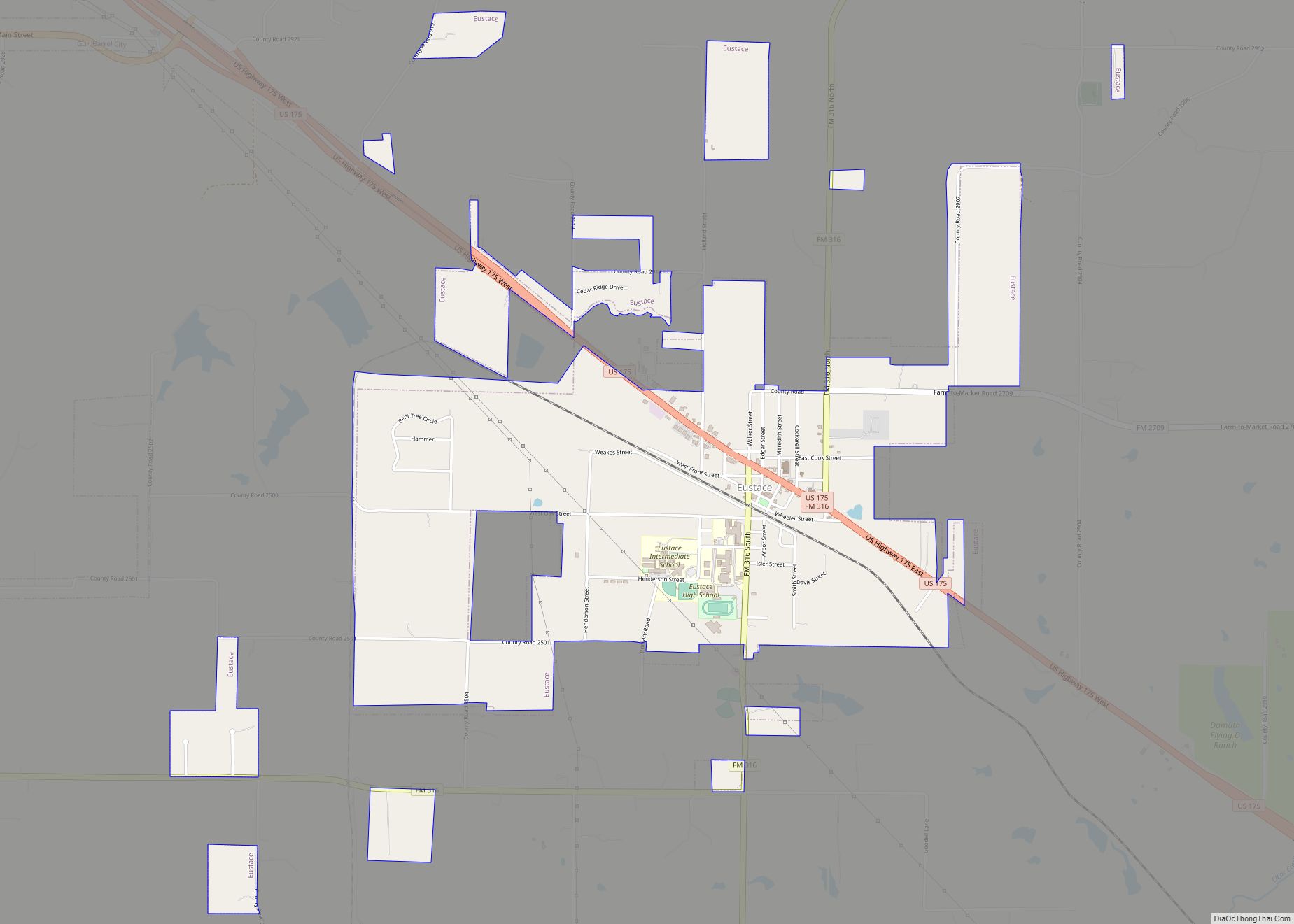
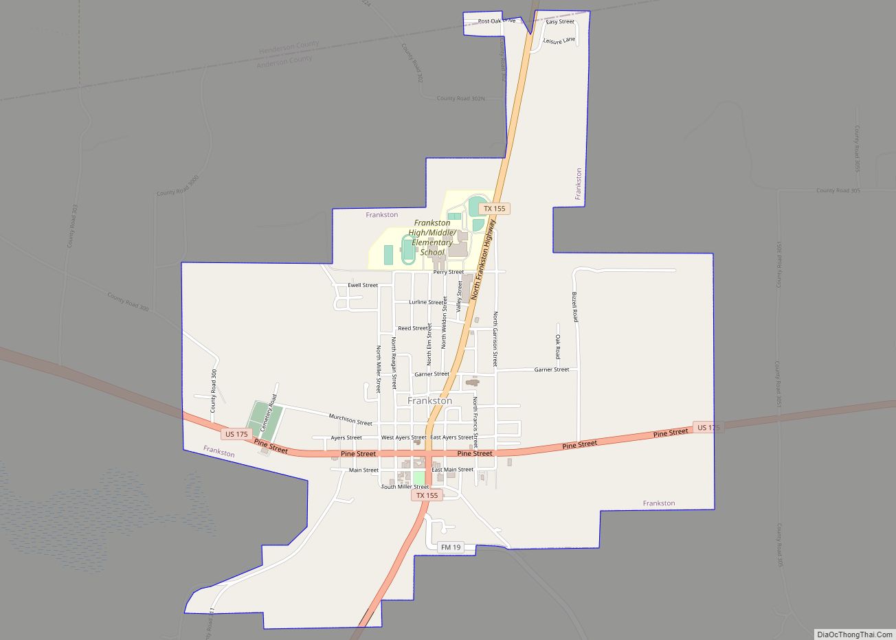
Online Interactive Map
Click on ![]() to view map in "full screen" mode.
to view map in "full screen" mode.
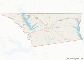
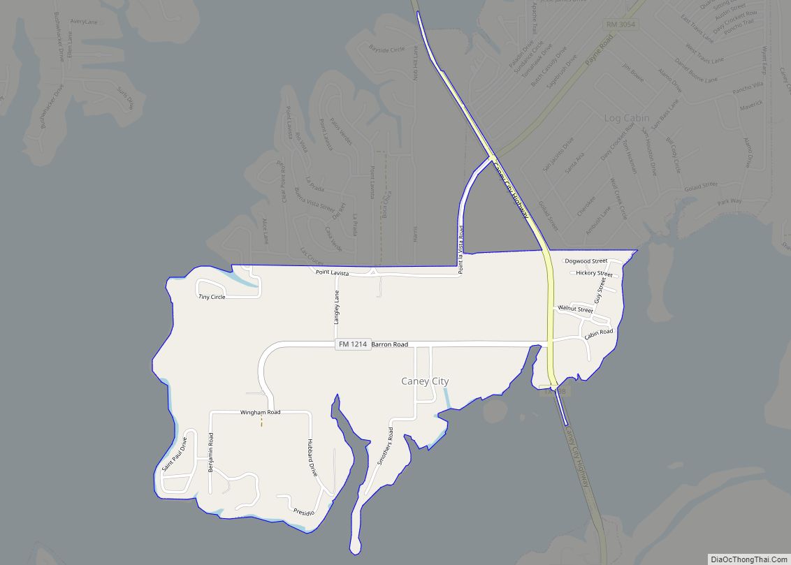
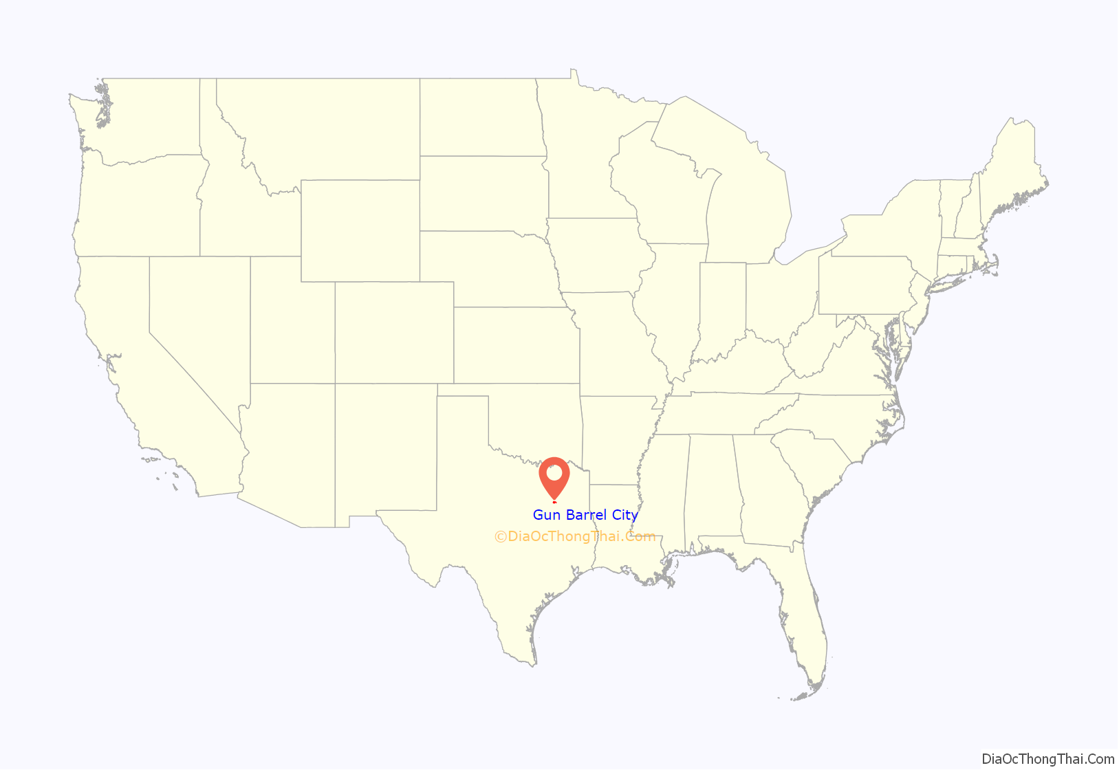
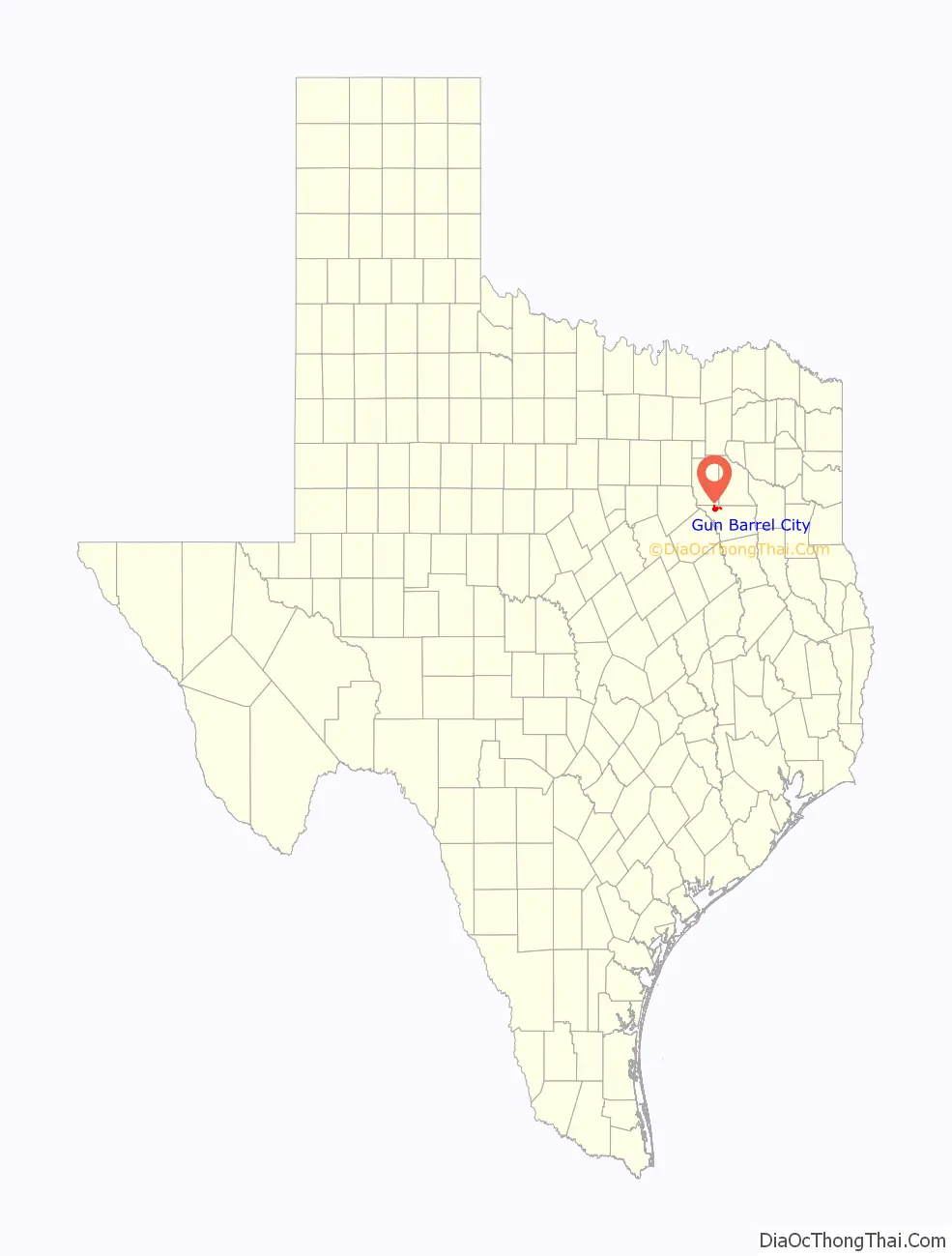
Gun Barrel City location map. Where is Gun Barrel City city?
History
Despite having a name that evokes images of the Texas frontier, Gun Barrel City was only formed in the 1960s. Not long after Cedar Creek Lake (a reservoir for the Tarrant Regional Water District) completed construction, the fledgling community that sat on its banks took steps to officially become a town.
Gun Barrel City was incorporated on May 26, 1969. Since then, it has grown into a main hub and access point for visitors to Cedar Creek Lake. In addition to the high level of tourism that the community experiences (particularly during the summer boating season), Gun Barrel City and the surrounding communities have experienced a residential building boom over the past several years. This growth has largely been led by the relocation of retirees from throughout the Dallas region, building lake homes to take advantage of Gun Barrel City’s lake access.
In May 2000, Gun Barrel City voters elected their 13th mayor, 21-year-old entrepreneur and newspaper publisher Randal Tye Thomas. He resigned after community outcry in May 2001 following a grand jury indictment for one count of misdemeanor perjury and in the same week being arrested by the Gun Barrel City Police Department for public intoxication. All criminal charges were eventually dismissed. Thomas and the community were featured in many local, state, and national publications and programs, including a feature story in Texas Monthly and a feature interview on the nationwide NPR program This American Life. Thomas moved to the Dallas area in 2002, and died in 2014.
In 2008, Gun Barrel City received the coveted Certified Retirement Community recognition from the Texas Department of Agriculture’s Go Texan program. The community has also received recognition from the governor’s office, receiving second place on two separate occasions in the governor’s Community Achievement Awards.
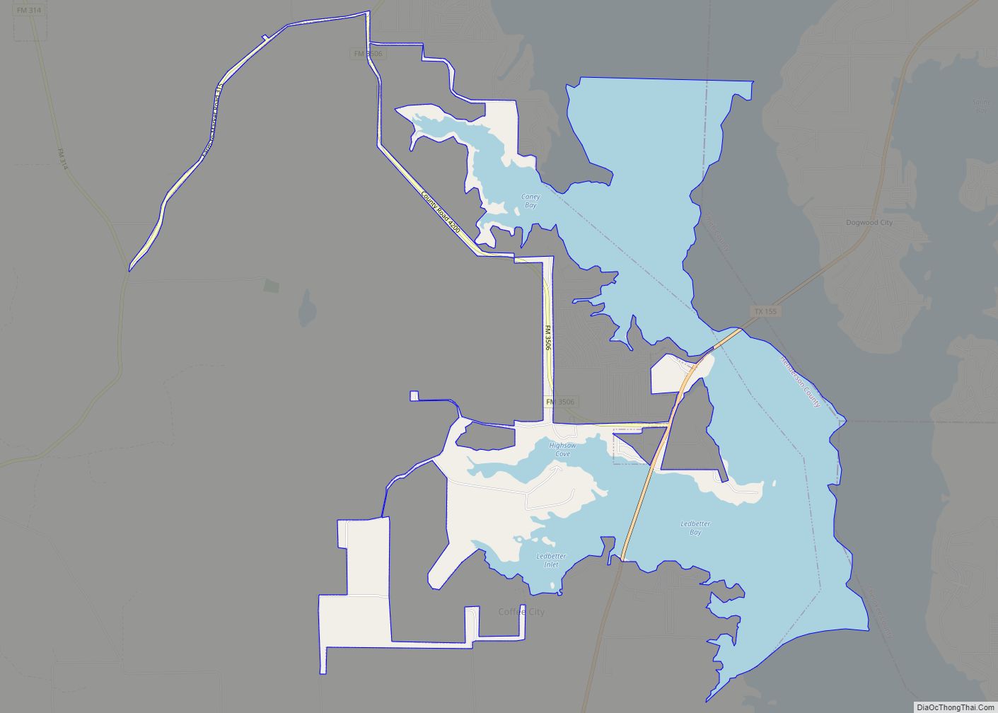
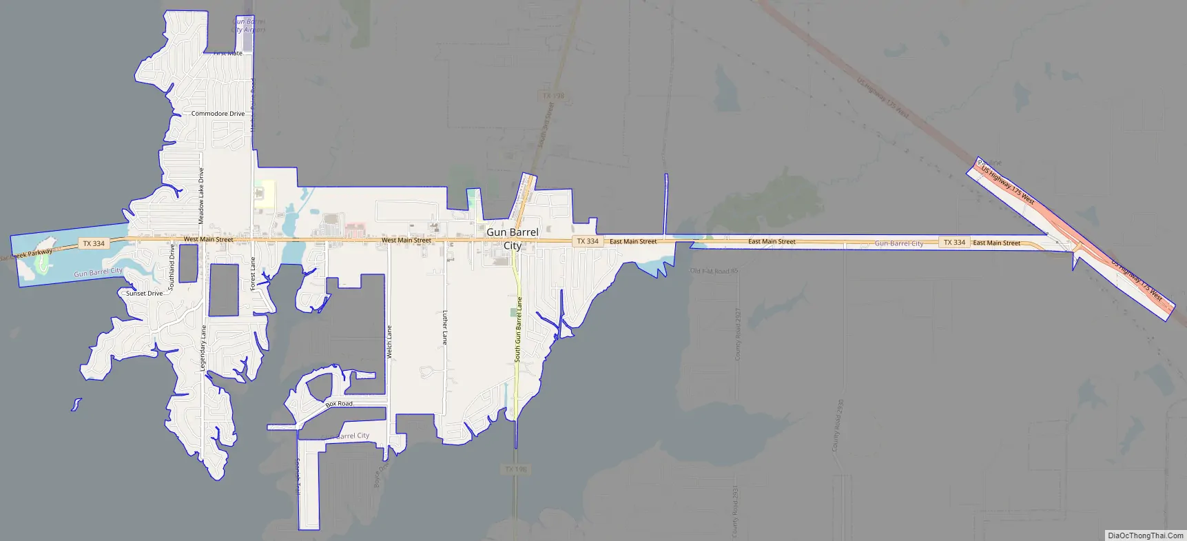
Gun Barrel City Road Map
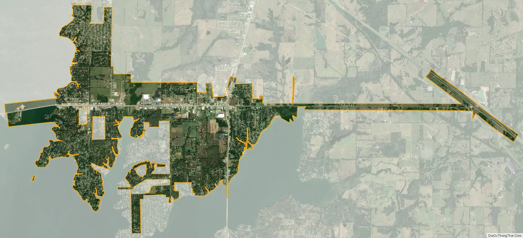
Gun Barrel City city Satellite Map
Geography
Gun Barrel City is located in northwestern Henderson County, on the eastern shore of Cedar Creek Lake, part of the Trinity River watershed. It is bordered to the north by the town of Mabank. To the west, across the lake, is the city of Seven Points. Texas State Highway 334 runs through the center of town, leading west to Seven Points and east to U.S. Route 175 between Mabank and Eustace. Texas State Highway 198 crosses Highway 334 in the eastern part of Gun Barrel City, leading north to Mabank and south 15 miles (24 km) to Malakoff. Athens, the Henderson county seat, is 18 miles (29 km) southeast of Gun Barrel City via US 175.
According to the U.S. Census Bureau, Gun Barrel City has a total area of 6.6 square miles (17.2 km), of which 0.39 square miles (1.0 km), or 5.59%, is covered by water.
See also
Map of Texas State and its subdivision:- Anderson
- Andrews
- Angelina
- Aransas
- Archer
- Armstrong
- Atascosa
- Austin
- Bailey
- Bandera
- Bastrop
- Baylor
- Bee
- Bell
- Bexar
- Blanco
- Borden
- Bosque
- Bowie
- Brazoria
- Brazos
- Brewster
- Briscoe
- Brooks
- Brown
- Burleson
- Burnet
- Caldwell
- Calhoun
- Callahan
- Cameron
- Camp
- Carson
- Cass
- Castro
- Chambers
- Cherokee
- Childress
- Clay
- Cochran
- Coke
- Coleman
- Collin
- Collingsworth
- Colorado
- Comal
- Comanche
- Concho
- Cooke
- Coryell
- Cottle
- Crane
- Crockett
- Crosby
- Culberson
- Dallam
- Dallas
- Dawson
- Deaf Smith
- Delta
- Denton
- Dewitt
- Dickens
- Dimmit
- Donley
- Duval
- Eastland
- Ector
- Edwards
- El Paso
- Ellis
- Erath
- Falls
- Fannin
- Fayette
- Fisher
- Floyd
- Foard
- Fort Bend
- Franklin
- Freestone
- Frio
- Gaines
- Galveston
- Garza
- Gillespie
- Glasscock
- Goliad
- Gonzales
- Gray
- Grayson
- Gregg
- Grimes
- Guadalupe
- Hale
- Hall
- Hamilton
- Hansford
- Hardeman
- Hardin
- Harris
- Harrison
- Hartley
- Haskell
- Hays
- Hemphill
- Henderson
- Hidalgo
- Hill
- Hockley
- Hood
- Hopkins
- Houston
- Howard
- Hudspeth
- Hunt
- Hutchinson
- Irion
- Jack
- Jackson
- Jasper
- Jeff Davis
- Jefferson
- Jim Hogg
- Jim Wells
- Johnson
- Jones
- Karnes
- Kaufman
- Kendall
- Kenedy
- Kent
- Kerr
- Kimble
- King
- Kinney
- Kleberg
- Knox
- La Salle
- Lamar
- Lamb
- Lampasas
- Lavaca
- Lee
- Leon
- Liberty
- Limestone
- Lipscomb
- Live Oak
- Llano
- Loving
- Lubbock
- Lynn
- Madison
- Marion
- Martin
- Mason
- Matagorda
- Maverick
- McCulloch
- McLennan
- McMullen
- Medina
- Menard
- Midland
- Milam
- Mills
- Mitchell
- Montague
- Montgomery
- Moore
- Morris
- Motley
- Nacogdoches
- Navarro
- Newton
- Nolan
- Nueces
- Ochiltree
- Oldham
- Orange
- Palo Pinto
- Panola
- Parker
- Parmer
- Pecos
- Polk
- Potter
- Presidio
- Rains
- Randall
- Reagan
- Real
- Red River
- Reeves
- Refugio
- Roberts
- Robertson
- Rockwall
- Runnels
- Rusk
- Sabine
- San Augustine
- San Jacinto
- San Patricio
- San Saba
- Schleicher
- Scurry
- Shackelford
- Shelby
- Sherman
- Smith
- Somervell
- Starr
- Stephens
- Sterling
- Stonewall
- Sutton
- Swisher
- Tarrant
- Taylor
- Terrell
- Terry
- Throckmorton
- Titus
- Tom Green
- Travis
- Trinity
- Tyler
- Upshur
- Upton
- Uvalde
- Val Verde
- Van Zandt
- Victoria
- Walker
- Waller
- Ward
- Washington
- Webb
- Wharton
- Wheeler
- Wichita
- Wilbarger
- Willacy
- Williamson
- Wilson
- Winkler
- Wise
- Wood
- Yoakum
- Young
- Zapata
- Zavala
- Alabama
- Alaska
- Arizona
- Arkansas
- California
- Colorado
- Connecticut
- Delaware
- District of Columbia
- Florida
- Georgia
- Hawaii
- Idaho
- Illinois
- Indiana
- Iowa
- Kansas
- Kentucky
- Louisiana
- Maine
- Maryland
- Massachusetts
- Michigan
- Minnesota
- Mississippi
- Missouri
- Montana
- Nebraska
- Nevada
- New Hampshire
- New Jersey
- New Mexico
- New York
- North Carolina
- North Dakota
- Ohio
- Oklahoma
- Oregon
- Pennsylvania
- Rhode Island
- South Carolina
- South Dakota
- Tennessee
- Texas
- Utah
- Vermont
- Virginia
- Washington
- West Virginia
- Wisconsin
- Wyoming