Hallsville is a city in Harrison County, Texas, United States, located 13 miles (21 km) west of the county seat, Marshall, on U.S. Highway 80. The population was 3,577 at the 2010 census, up from 2,772 at the 2000 census. The 2020 census revealed that Hallsville’s population was 4,277.
| Name: | Hallsville city |
|---|---|
| LSAD Code: | 25 |
| LSAD Description: | city (suffix) |
| State: | Texas |
| County: | Harrison County |
| Elevation: | 364 ft (111 m) |
| Total Area: | 3.81 sq mi (9.86 km²) |
| Land Area: | 3.81 sq mi (9.86 km²) |
| Water Area: | 0.00 sq mi (0.00 km²) |
| Total Population: | 4,277 |
| Population Density: | 1,128.74/sq mi (435.82/km²) |
| ZIP code: | 75650 |
| Area code: | 903 |
| FIPS code: | 4831904 |
| GNISfeature ID: | 1373984 |
| Website: | cityofhallsvilletx.com |
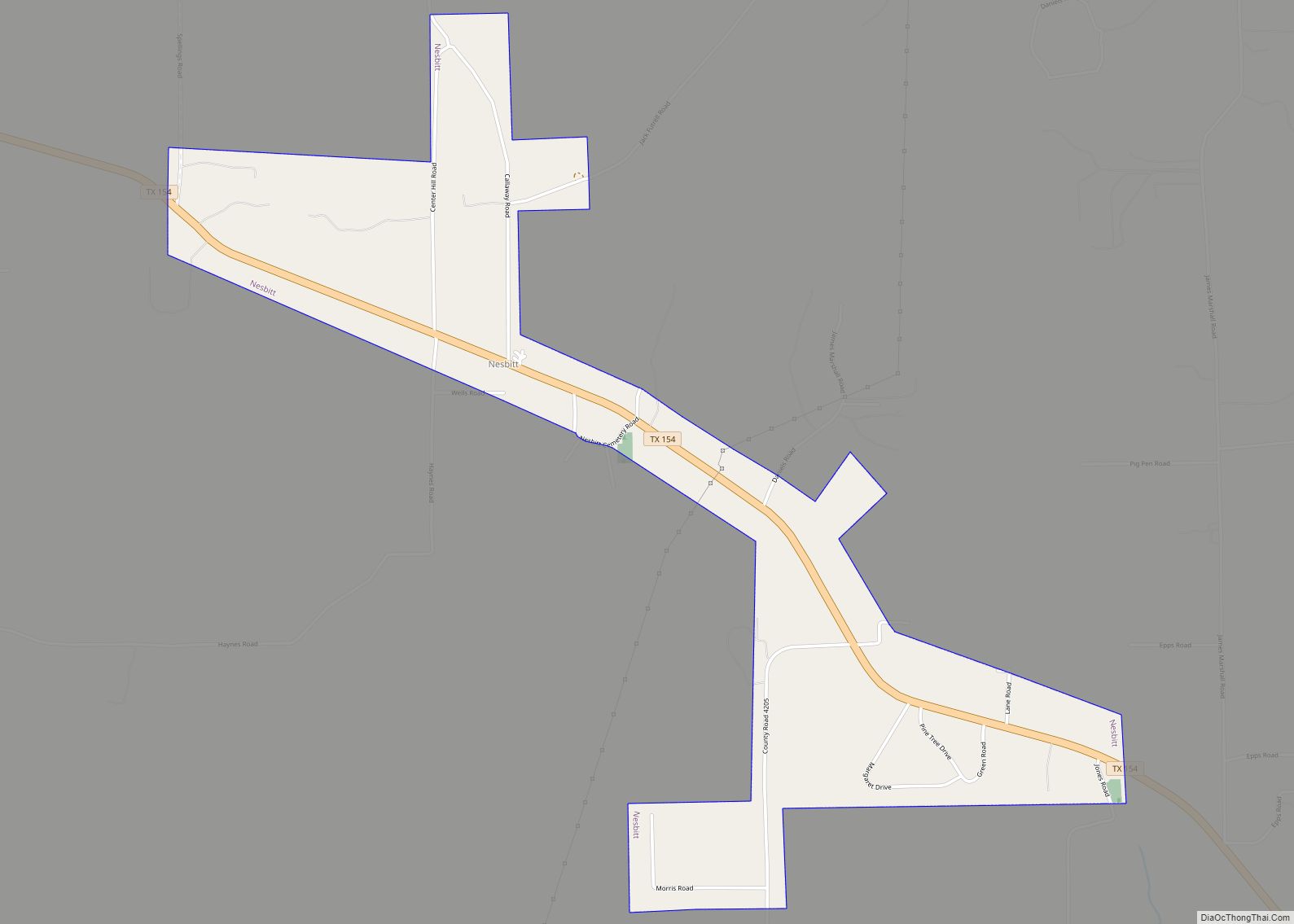
Online Interactive Map
Click on ![]() to view map in "full screen" mode.
to view map in "full screen" mode.
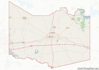
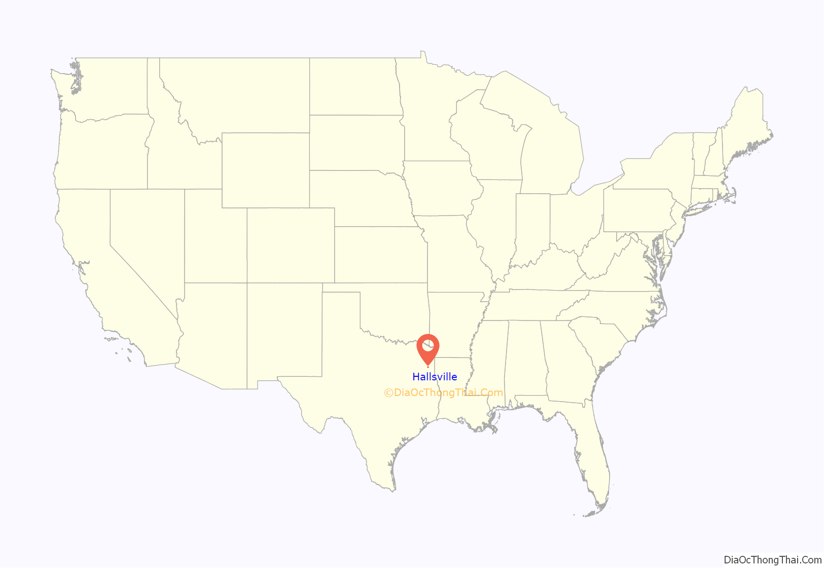
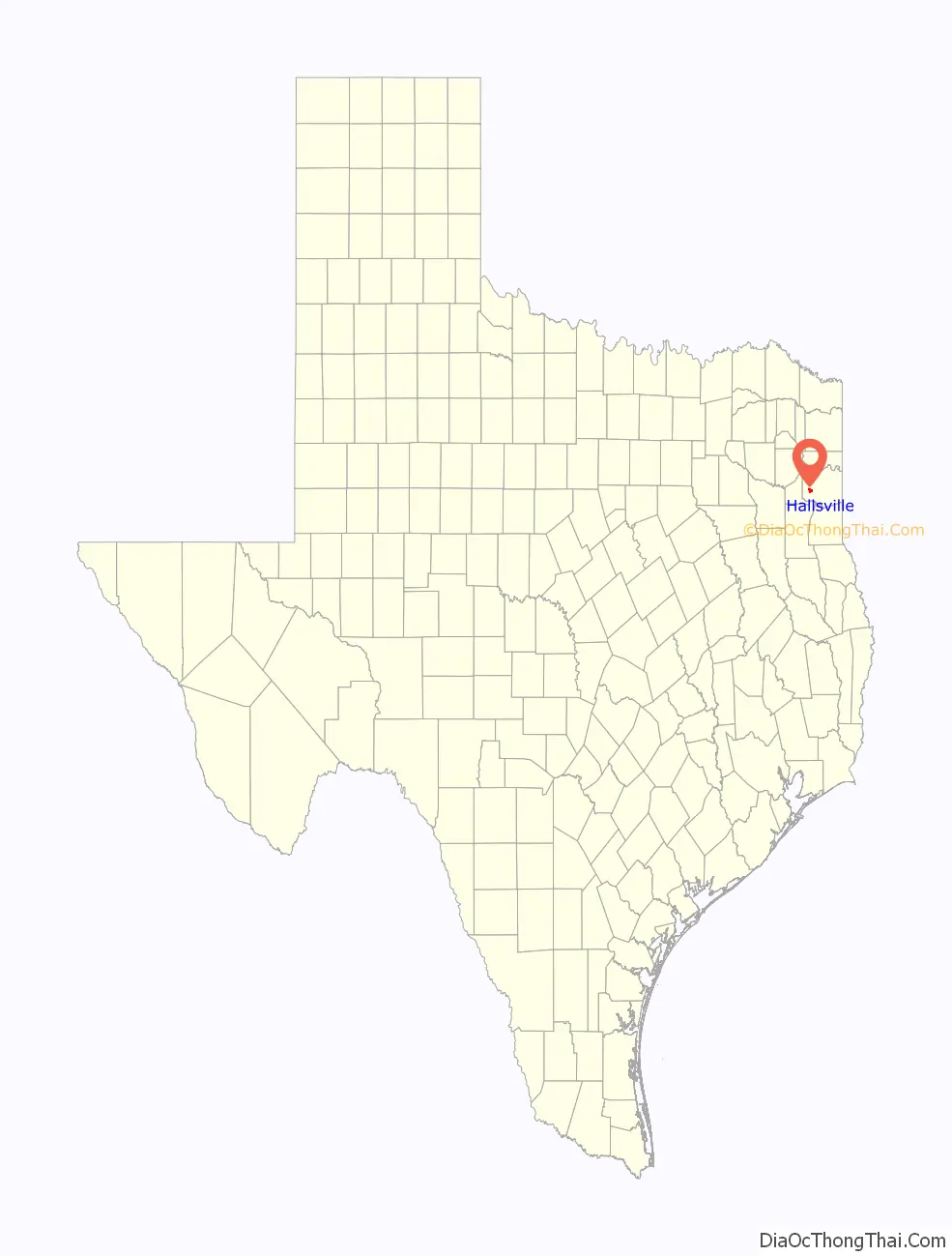
Hallsville location map. Where is Hallsville city?
History
Past
The area was first settled in 1839, when Fort Crawford was built one mile west of the site of present Hallsville by W. C. Crawford as a protection against Indians. In 1849 the fort is reported to have had a post office and a two-story building that served as church, Masonic hall, and school (the only school in western Harrison County until 1868). In 1869, when an independent Southern Pacific Railway crossed a mile north of Fort Crawford, the settlers moved to the railroad and named the new settlement for a railroad official. All that remains at the original location is a cemetery.
A post office named “Hallville” opened in 1869, and the first business in the new community was a saloon. From 1869 to 1872 the town was the terminus of the railroad, and the railroad company built a general office and machine shops there. The community incorporated for the first time in 1870 and was a boom town, with as many as fifty businesses, in the early 1870s. Hallville shipped cotton, wool, and hides. In 1872, when the Texas and Pacific acquired the railroad and built out to Longview in Gregg County, Hallville lost much of its western trade. In 1873 the railroad moved its local headquarters and shops to Marshall. Hallville’s incorporation lapsed, and the community lost many of its people to Marshall in the later 1870s. In 1884 it had an estimated 600 inhabitants, three churches, six sawmills, six grist mill-gins, a hotel, two saloons, and a cooperative association. By 1892 the population had fallen to 300, but it recovered to 600 in the 1900s. In 1904 the Hallville school district had two schools serving 180 white pupils and one school serving 111 black pupils. A bank opened in the community in 1909. In the 1920s the post office changed the spelling of its name to Hallsville. The community reincorporated in 1935.
Present
Until 2003, Hallsville had only one traffic light, located at the main intersection at Main Street (HWY 80) and FM 450. The town has experienced rapid growth in the past decade and now boasts six traffic lights, a larger corporate grocery store chain, a medical and dental clinic, two dollar stores and several fast-food chains. The heart and pulse of the community still lies in its school functions, particularly sporting events.
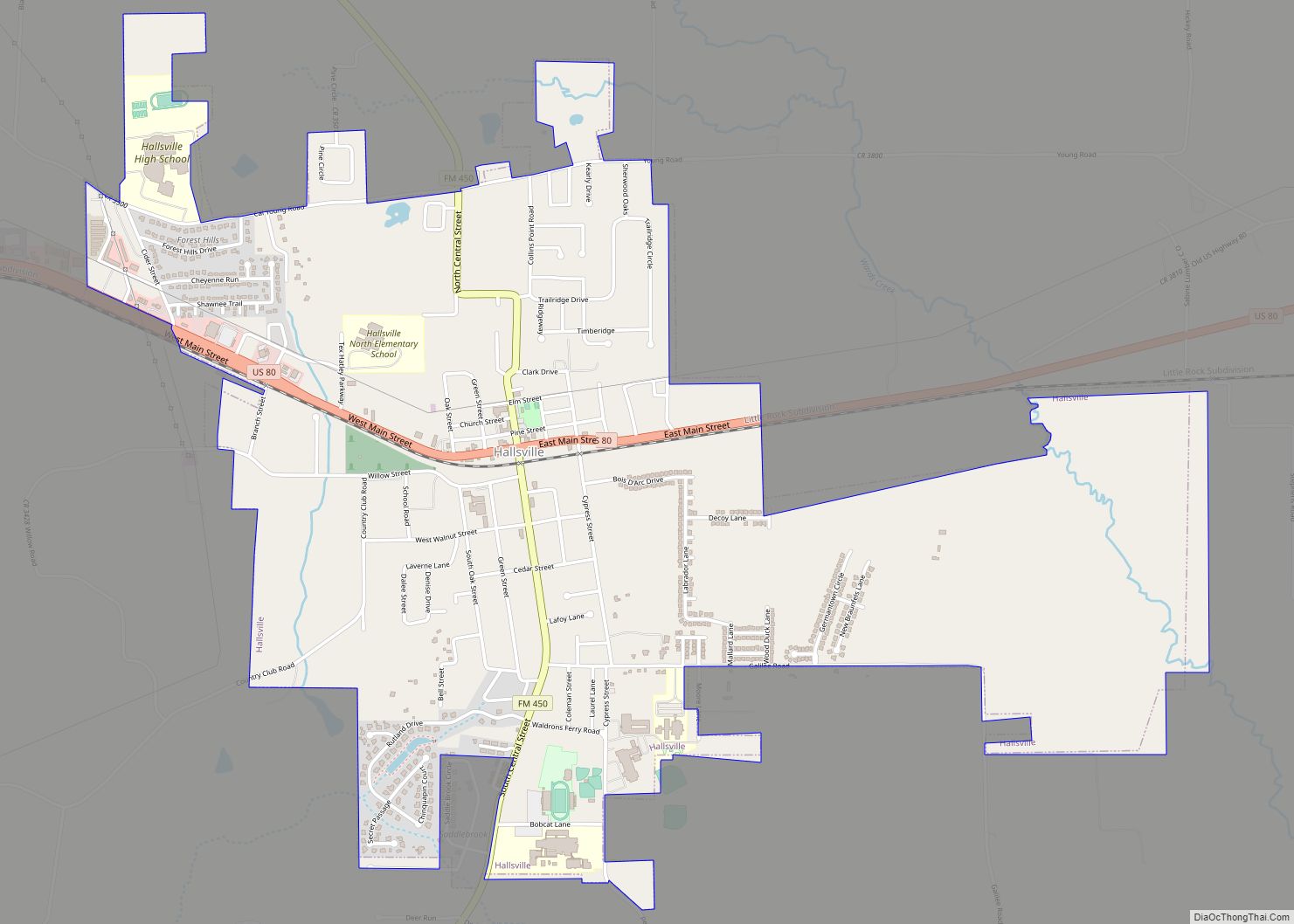
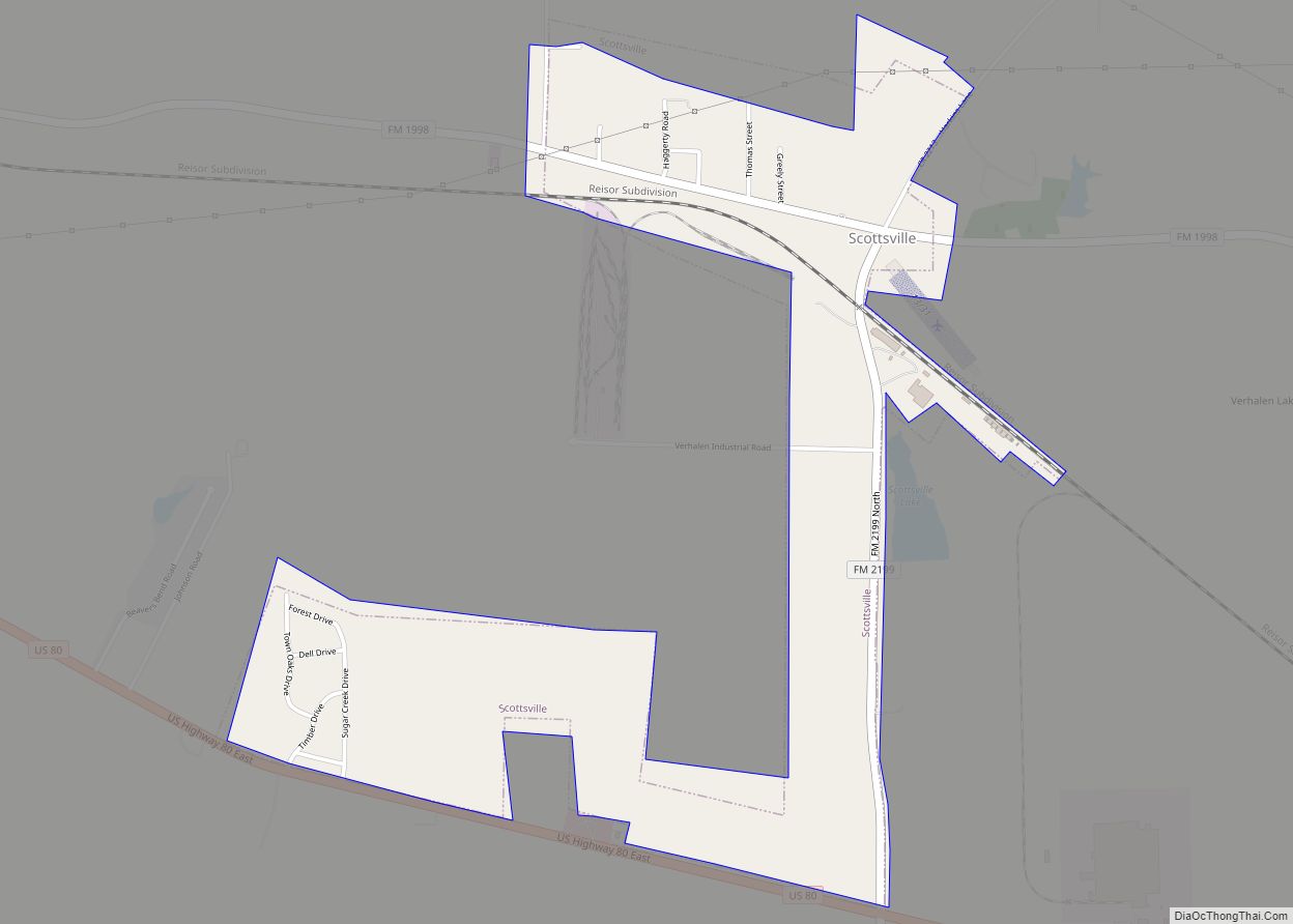
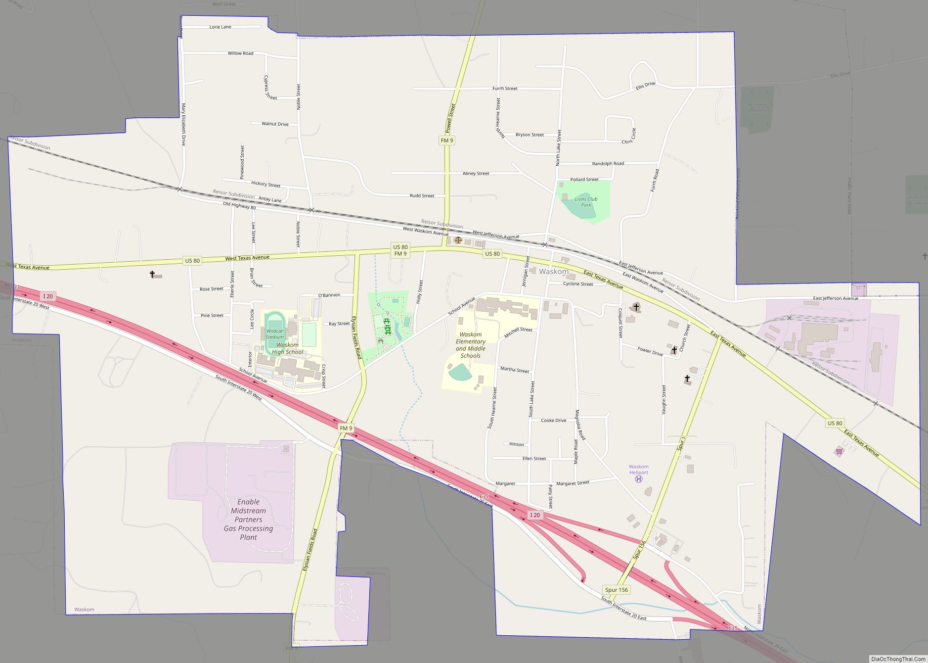
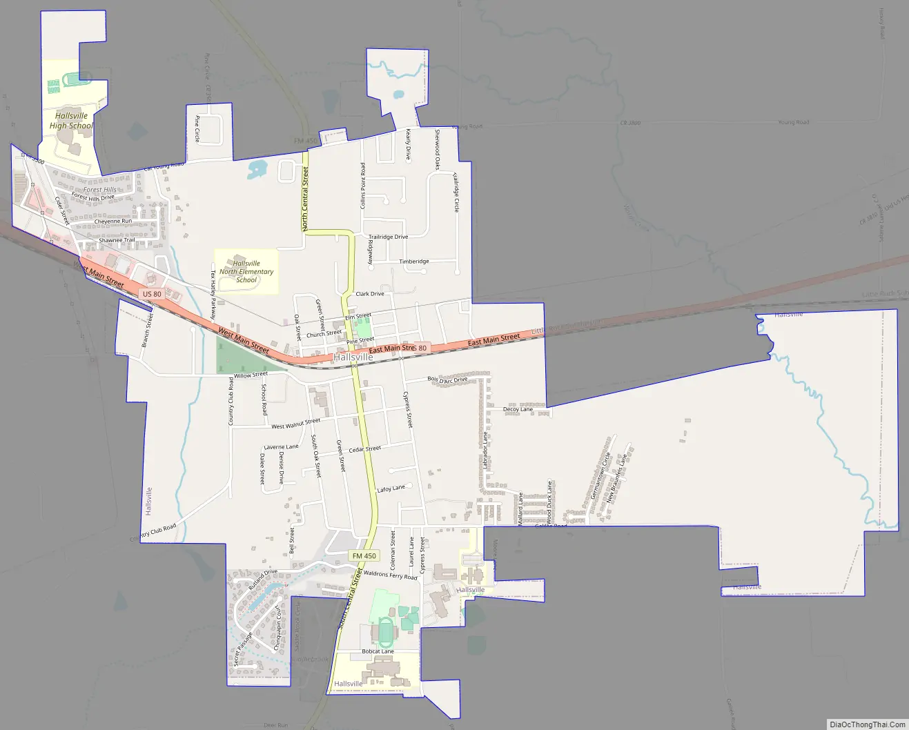
Hallsville Road Map
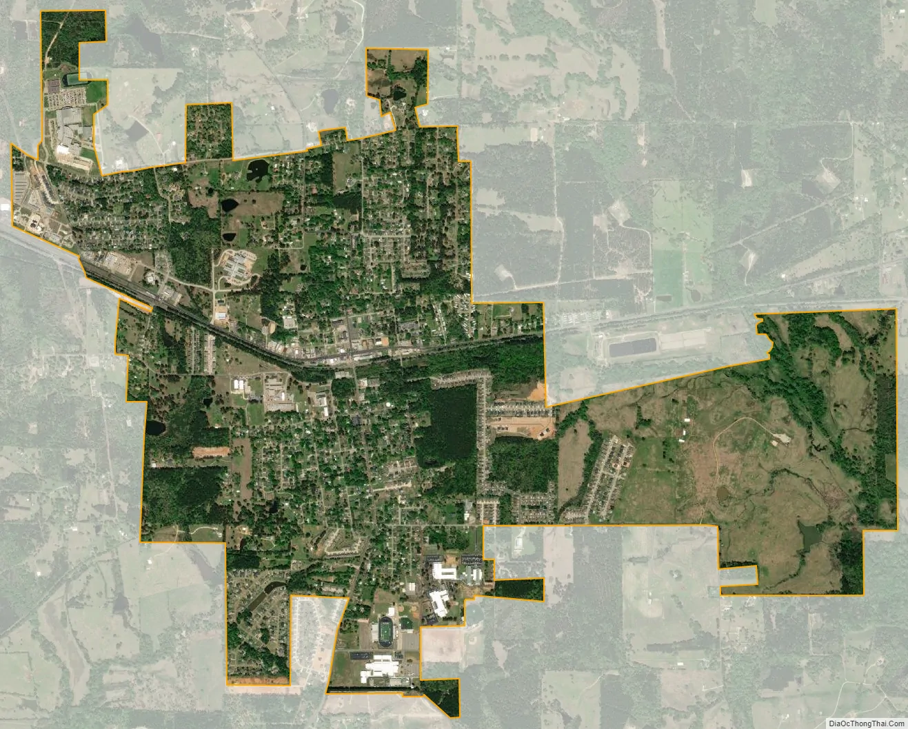
Hallsville city Satellite Map
Geography
Hallsville is located in western Harrison County at 32°30′15″N 94°34′30″W / 32.50417°N 94.57500°W / 32.50417; -94.57500 (32.504036, –94.574904). U.S. Highway 80 passes through the center of town as Main Street, leading east 13 miles (21 km) to Marshall, the county seat, and west 10 miles (16 km) to Longview. Farm Road 450 leads south from the center of Hallsville 2 miles (3 km) to Interstate 20 at Exit 604 and north 13 miles (21 km) to Harleton.
According to the United States Census Bureau, Hallsville has a total area of 3.7 square miles (9.6 km), all of it land.
See also
Map of Texas State and its subdivision:- Anderson
- Andrews
- Angelina
- Aransas
- Archer
- Armstrong
- Atascosa
- Austin
- Bailey
- Bandera
- Bastrop
- Baylor
- Bee
- Bell
- Bexar
- Blanco
- Borden
- Bosque
- Bowie
- Brazoria
- Brazos
- Brewster
- Briscoe
- Brooks
- Brown
- Burleson
- Burnet
- Caldwell
- Calhoun
- Callahan
- Cameron
- Camp
- Carson
- Cass
- Castro
- Chambers
- Cherokee
- Childress
- Clay
- Cochran
- Coke
- Coleman
- Collin
- Collingsworth
- Colorado
- Comal
- Comanche
- Concho
- Cooke
- Coryell
- Cottle
- Crane
- Crockett
- Crosby
- Culberson
- Dallam
- Dallas
- Dawson
- Deaf Smith
- Delta
- Denton
- Dewitt
- Dickens
- Dimmit
- Donley
- Duval
- Eastland
- Ector
- Edwards
- El Paso
- Ellis
- Erath
- Falls
- Fannin
- Fayette
- Fisher
- Floyd
- Foard
- Fort Bend
- Franklin
- Freestone
- Frio
- Gaines
- Galveston
- Garza
- Gillespie
- Glasscock
- Goliad
- Gonzales
- Gray
- Grayson
- Gregg
- Grimes
- Guadalupe
- Hale
- Hall
- Hamilton
- Hansford
- Hardeman
- Hardin
- Harris
- Harrison
- Hartley
- Haskell
- Hays
- Hemphill
- Henderson
- Hidalgo
- Hill
- Hockley
- Hood
- Hopkins
- Houston
- Howard
- Hudspeth
- Hunt
- Hutchinson
- Irion
- Jack
- Jackson
- Jasper
- Jeff Davis
- Jefferson
- Jim Hogg
- Jim Wells
- Johnson
- Jones
- Karnes
- Kaufman
- Kendall
- Kenedy
- Kent
- Kerr
- Kimble
- King
- Kinney
- Kleberg
- Knox
- La Salle
- Lamar
- Lamb
- Lampasas
- Lavaca
- Lee
- Leon
- Liberty
- Limestone
- Lipscomb
- Live Oak
- Llano
- Loving
- Lubbock
- Lynn
- Madison
- Marion
- Martin
- Mason
- Matagorda
- Maverick
- McCulloch
- McLennan
- McMullen
- Medina
- Menard
- Midland
- Milam
- Mills
- Mitchell
- Montague
- Montgomery
- Moore
- Morris
- Motley
- Nacogdoches
- Navarro
- Newton
- Nolan
- Nueces
- Ochiltree
- Oldham
- Orange
- Palo Pinto
- Panola
- Parker
- Parmer
- Pecos
- Polk
- Potter
- Presidio
- Rains
- Randall
- Reagan
- Real
- Red River
- Reeves
- Refugio
- Roberts
- Robertson
- Rockwall
- Runnels
- Rusk
- Sabine
- San Augustine
- San Jacinto
- San Patricio
- San Saba
- Schleicher
- Scurry
- Shackelford
- Shelby
- Sherman
- Smith
- Somervell
- Starr
- Stephens
- Sterling
- Stonewall
- Sutton
- Swisher
- Tarrant
- Taylor
- Terrell
- Terry
- Throckmorton
- Titus
- Tom Green
- Travis
- Trinity
- Tyler
- Upshur
- Upton
- Uvalde
- Val Verde
- Van Zandt
- Victoria
- Walker
- Waller
- Ward
- Washington
- Webb
- Wharton
- Wheeler
- Wichita
- Wilbarger
- Willacy
- Williamson
- Wilson
- Winkler
- Wise
- Wood
- Yoakum
- Young
- Zapata
- Zavala
- Alabama
- Alaska
- Arizona
- Arkansas
- California
- Colorado
- Connecticut
- Delaware
- District of Columbia
- Florida
- Georgia
- Hawaii
- Idaho
- Illinois
- Indiana
- Iowa
- Kansas
- Kentucky
- Louisiana
- Maine
- Maryland
- Massachusetts
- Michigan
- Minnesota
- Mississippi
- Missouri
- Montana
- Nebraska
- Nevada
- New Hampshire
- New Jersey
- New Mexico
- New York
- North Carolina
- North Dakota
- Ohio
- Oklahoma
- Oregon
- Pennsylvania
- Rhode Island
- South Carolina
- South Dakota
- Tennessee
- Texas
- Utah
- Vermont
- Virginia
- Washington
- West Virginia
- Wisconsin
- Wyoming