Horizon City is a city in El Paso County, Texas, United States. As of the 2020 United States Census, its population was 22,489, reflecting an increase of 5,754 from the 16,735 counted in the 2010 Census.
| Name: | Horizon City city |
|---|---|
| LSAD Code: | 25 |
| LSAD Description: | city (suffix) |
| State: | Texas |
| County: | El Paso County |
| Founded: | 1962 |
| Incorporated: | October 22, 1988 |
| Elevation: | 4,022 ft (1,226 m) |
| Total Area: | 8.72 sq mi (22.58 km²) |
| Land Area: | 8.71 sq mi (22.57 km²) |
| Water Area: | 0.01 sq mi (0.01 km²) |
| Total Population: | 22,489 |
| Population Density: | 2,254.07/sq mi (870.30/km²) |
| ZIP code: | 79927-79928 |
| Area code: | 915 |
| FIPS code: | 4834832 |
| GNISfeature ID: | 1359564 |
| Website: | www.horizoncity.org |
Online Interactive Map
Click on ![]() to view map in "full screen" mode.
to view map in "full screen" mode.
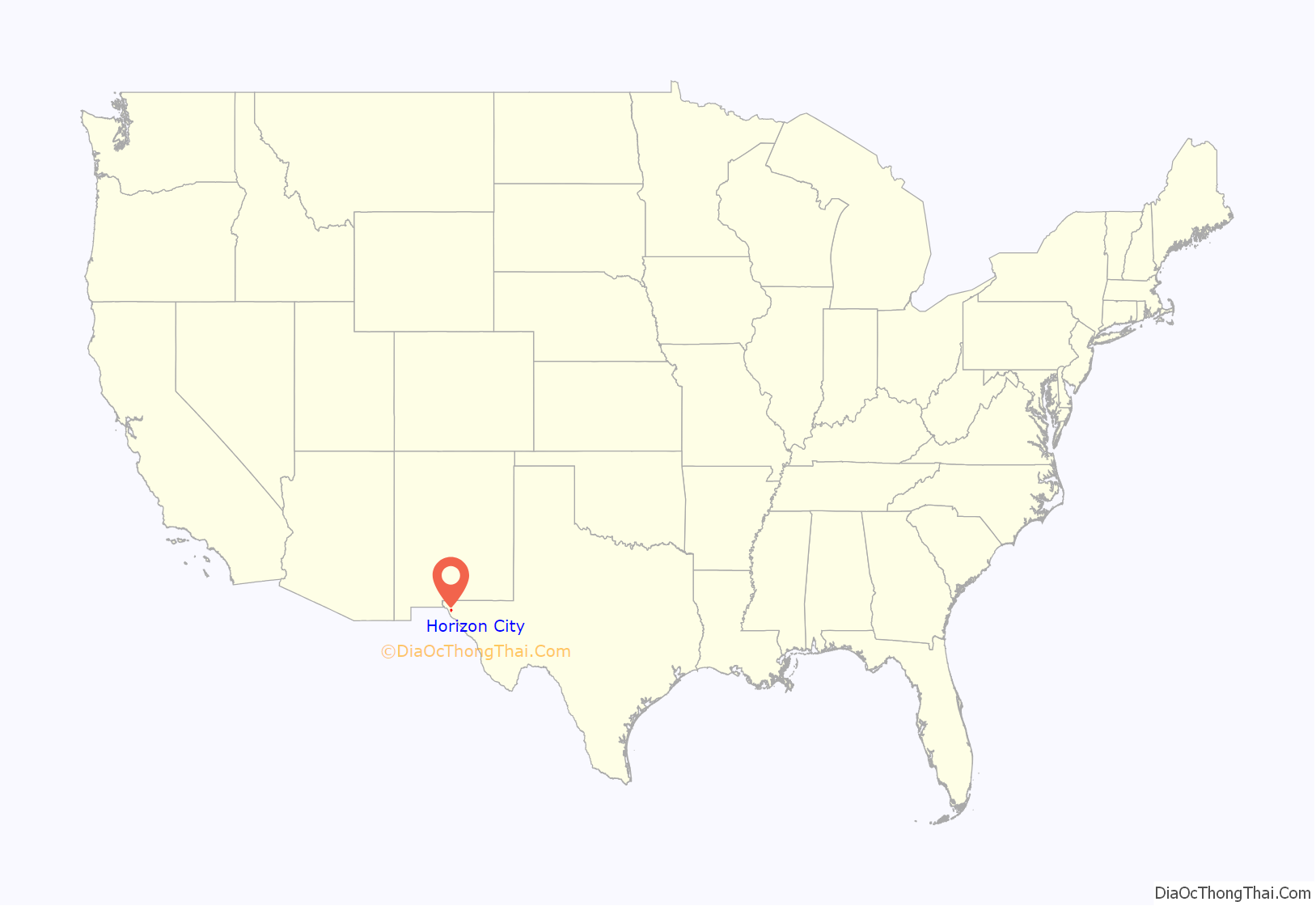
Horizon City location map. Where is Horizon City city?
History
The city, incorporated by referendum on October 22, 1988, takes its name from the real-estate development corporation that developed it as a planned community beginning in the early 1960s, the Horizon Corporation. The Horizon Corporation bought up large tracts of land in the southwestern United States, including eastern El Paso County, platted them into subdivisions, and sold lots in them to thousands of people worldwide, often sight unseen, often without access to water or utilities and using questionable sales tactics, between 1962 and 1975. Eventually, the Federal Trade Commission stepped in to stop it in 1981. Only one portion of the development was successful, the area around the intersection of Horizon Boulevard (Texas Farm Road 1281) and Kenazo Street; this became the nucleus of Horizon City.
Much of the land to the east of town consists of undeveloped subdivisions with highly fragmented ownership. The lots in these subdivisions cannot be legally sold and will be difficult to develop due to the 1994 Texas Colonia Act, a state law intended to stop the development of colonias, or neighborhoods underserved by utilities whose residents often live in substandard conditions. It forbids the sale for residential purposes of less than 10 acres of land or the sale of more than 10 acres of land without a guarantee of adequate access to water, sewer services and other utilities. Efforts are currently underway by a local homeowners’ association, the Horizon Communities Improvement Association, to assemble these lots into tracts of land that can be legally developed.
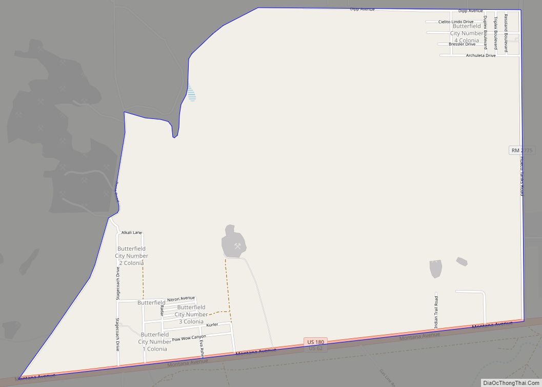
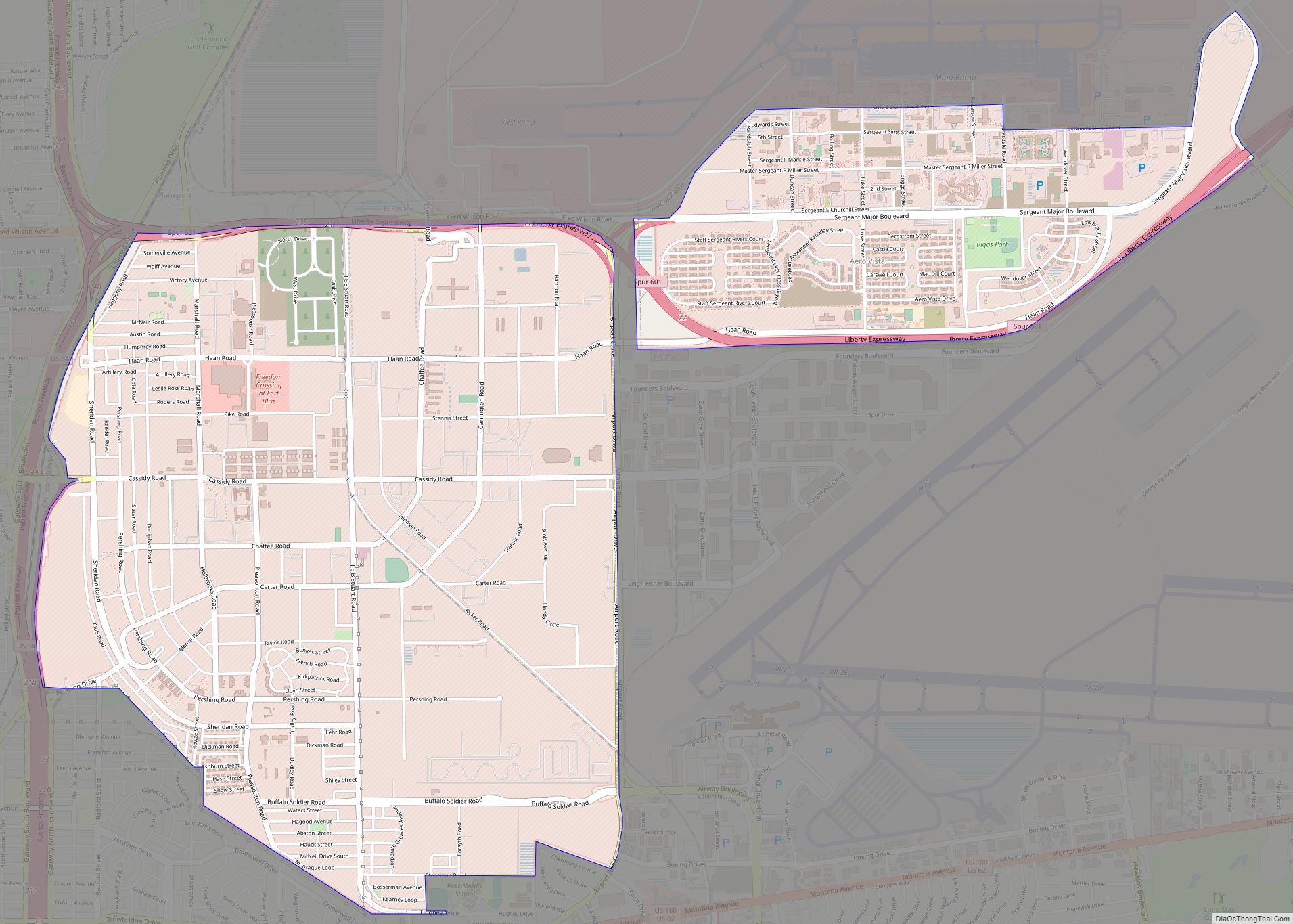
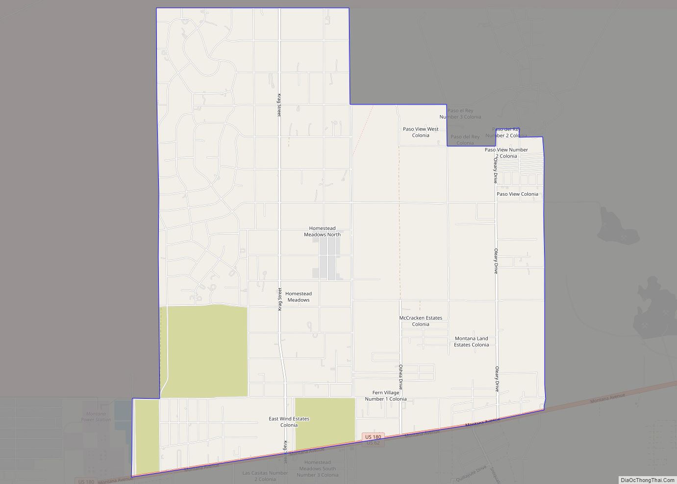
Horizon City Road Map
Horizon City city Satellite Map
Geography
Horizon City is located at 31°40′56″N 106°11′46″W / 31.68222°N 106.19611°W / 31.68222; -106.19611 (31.682315, −106.196127).
According to the United States Census Bureau, the city has a total area of 8.7 square miles (22.6 km), all of it land.
See also
Map of Texas State and its subdivision:- Anderson
- Andrews
- Angelina
- Aransas
- Archer
- Armstrong
- Atascosa
- Austin
- Bailey
- Bandera
- Bastrop
- Baylor
- Bee
- Bell
- Bexar
- Blanco
- Borden
- Bosque
- Bowie
- Brazoria
- Brazos
- Brewster
- Briscoe
- Brooks
- Brown
- Burleson
- Burnet
- Caldwell
- Calhoun
- Callahan
- Cameron
- Camp
- Carson
- Cass
- Castro
- Chambers
- Cherokee
- Childress
- Clay
- Cochran
- Coke
- Coleman
- Collin
- Collingsworth
- Colorado
- Comal
- Comanche
- Concho
- Cooke
- Coryell
- Cottle
- Crane
- Crockett
- Crosby
- Culberson
- Dallam
- Dallas
- Dawson
- Deaf Smith
- Delta
- Denton
- Dewitt
- Dickens
- Dimmit
- Donley
- Duval
- Eastland
- Ector
- Edwards
- El Paso
- Ellis
- Erath
- Falls
- Fannin
- Fayette
- Fisher
- Floyd
- Foard
- Fort Bend
- Franklin
- Freestone
- Frio
- Gaines
- Galveston
- Garza
- Gillespie
- Glasscock
- Goliad
- Gonzales
- Gray
- Grayson
- Gregg
- Grimes
- Guadalupe
- Hale
- Hall
- Hamilton
- Hansford
- Hardeman
- Hardin
- Harris
- Harrison
- Hartley
- Haskell
- Hays
- Hemphill
- Henderson
- Hidalgo
- Hill
- Hockley
- Hood
- Hopkins
- Houston
- Howard
- Hudspeth
- Hunt
- Hutchinson
- Irion
- Jack
- Jackson
- Jasper
- Jeff Davis
- Jefferson
- Jim Hogg
- Jim Wells
- Johnson
- Jones
- Karnes
- Kaufman
- Kendall
- Kenedy
- Kent
- Kerr
- Kimble
- King
- Kinney
- Kleberg
- Knox
- La Salle
- Lamar
- Lamb
- Lampasas
- Lavaca
- Lee
- Leon
- Liberty
- Limestone
- Lipscomb
- Live Oak
- Llano
- Loving
- Lubbock
- Lynn
- Madison
- Marion
- Martin
- Mason
- Matagorda
- Maverick
- McCulloch
- McLennan
- McMullen
- Medina
- Menard
- Midland
- Milam
- Mills
- Mitchell
- Montague
- Montgomery
- Moore
- Morris
- Motley
- Nacogdoches
- Navarro
- Newton
- Nolan
- Nueces
- Ochiltree
- Oldham
- Orange
- Palo Pinto
- Panola
- Parker
- Parmer
- Pecos
- Polk
- Potter
- Presidio
- Rains
- Randall
- Reagan
- Real
- Red River
- Reeves
- Refugio
- Roberts
- Robertson
- Rockwall
- Runnels
- Rusk
- Sabine
- San Augustine
- San Jacinto
- San Patricio
- San Saba
- Schleicher
- Scurry
- Shackelford
- Shelby
- Sherman
- Smith
- Somervell
- Starr
- Stephens
- Sterling
- Stonewall
- Sutton
- Swisher
- Tarrant
- Taylor
- Terrell
- Terry
- Throckmorton
- Titus
- Tom Green
- Travis
- Trinity
- Tyler
- Upshur
- Upton
- Uvalde
- Val Verde
- Van Zandt
- Victoria
- Walker
- Waller
- Ward
- Washington
- Webb
- Wharton
- Wheeler
- Wichita
- Wilbarger
- Willacy
- Williamson
- Wilson
- Winkler
- Wise
- Wood
- Yoakum
- Young
- Zapata
- Zavala
- Alabama
- Alaska
- Arizona
- Arkansas
- California
- Colorado
- Connecticut
- Delaware
- District of Columbia
- Florida
- Georgia
- Hawaii
- Idaho
- Illinois
- Indiana
- Iowa
- Kansas
- Kentucky
- Louisiana
- Maine
- Maryland
- Massachusetts
- Michigan
- Minnesota
- Mississippi
- Missouri
- Montana
- Nebraska
- Nevada
- New Hampshire
- New Jersey
- New Mexico
- New York
- North Carolina
- North Dakota
- Ohio
- Oklahoma
- Oregon
- Pennsylvania
- Rhode Island
- South Carolina
- South Dakota
- Tennessee
- Texas
- Utah
- Vermont
- Virginia
- Washington
- West Virginia
- Wisconsin
- Wyoming
