Mabank (/ˈmeɪbæŋk/ MAY-bank) is a town in Henderson, Van Zandt and Kaufman counties in the U.S. state of Texas. Its population was 4,050 at the 2020 census.
| Name: | Mabank town |
|---|---|
| LSAD Code: | 43 |
| LSAD Description: | town (suffix) |
| State: | Texas |
| County: | Henderson County, Kaufman County |
| Elevation: | 394 ft (120 m) |
| Total Area: | 7.63 sq mi (19.77 km²) |
| Land Area: | 7.56 sq mi (19.59 km²) |
| Water Area: | 0.07 sq mi (0.19 km²) |
| Total Population: | 4,050 |
| Population Density: | 530/sq mi (200/km²) |
| ZIP code: | 75147 |
| Area code: | 430, 903 |
| FIPS code: | 4845324 |
| GNISfeature ID: | 1340780 |
| Website: | www.cityofmabanktx.org |
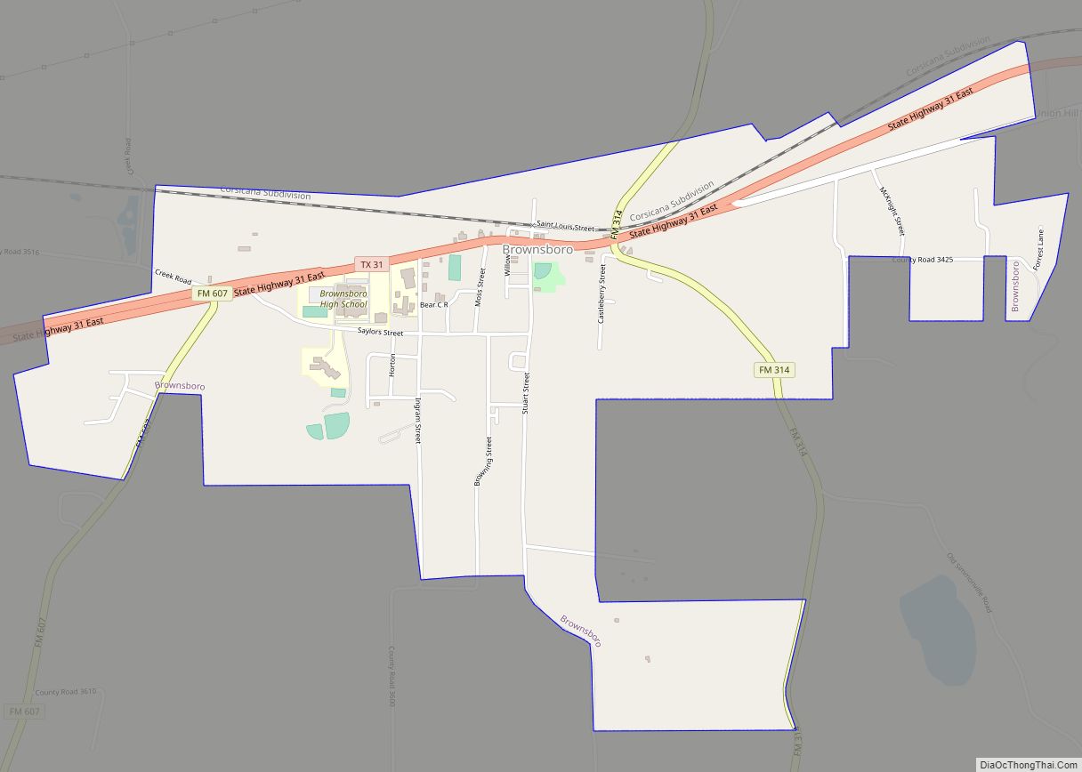
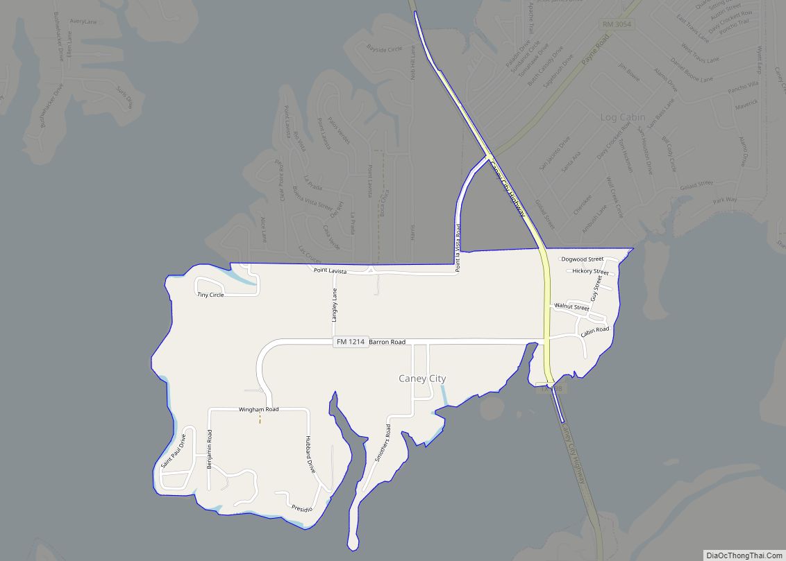
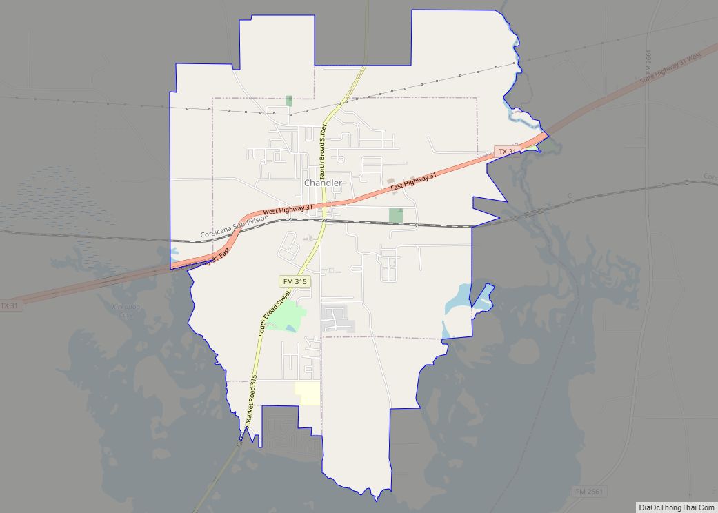
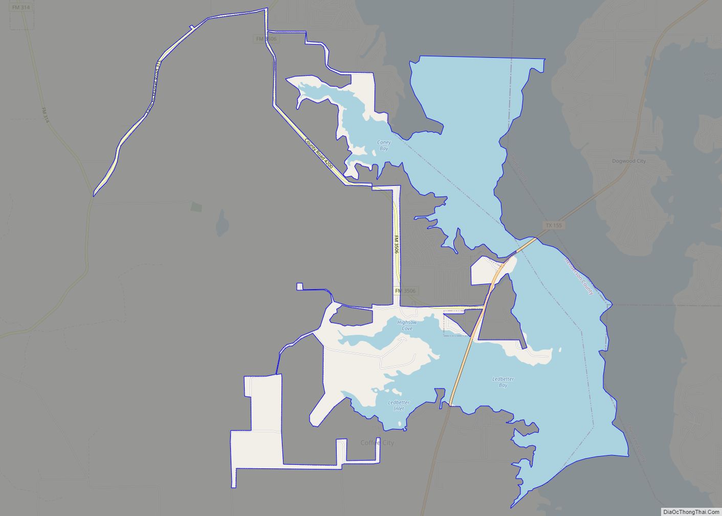
Online Interactive Map
Click on ![]() to view map in "full screen" mode.
to view map in "full screen" mode.
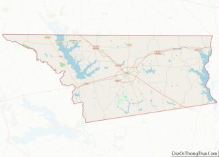
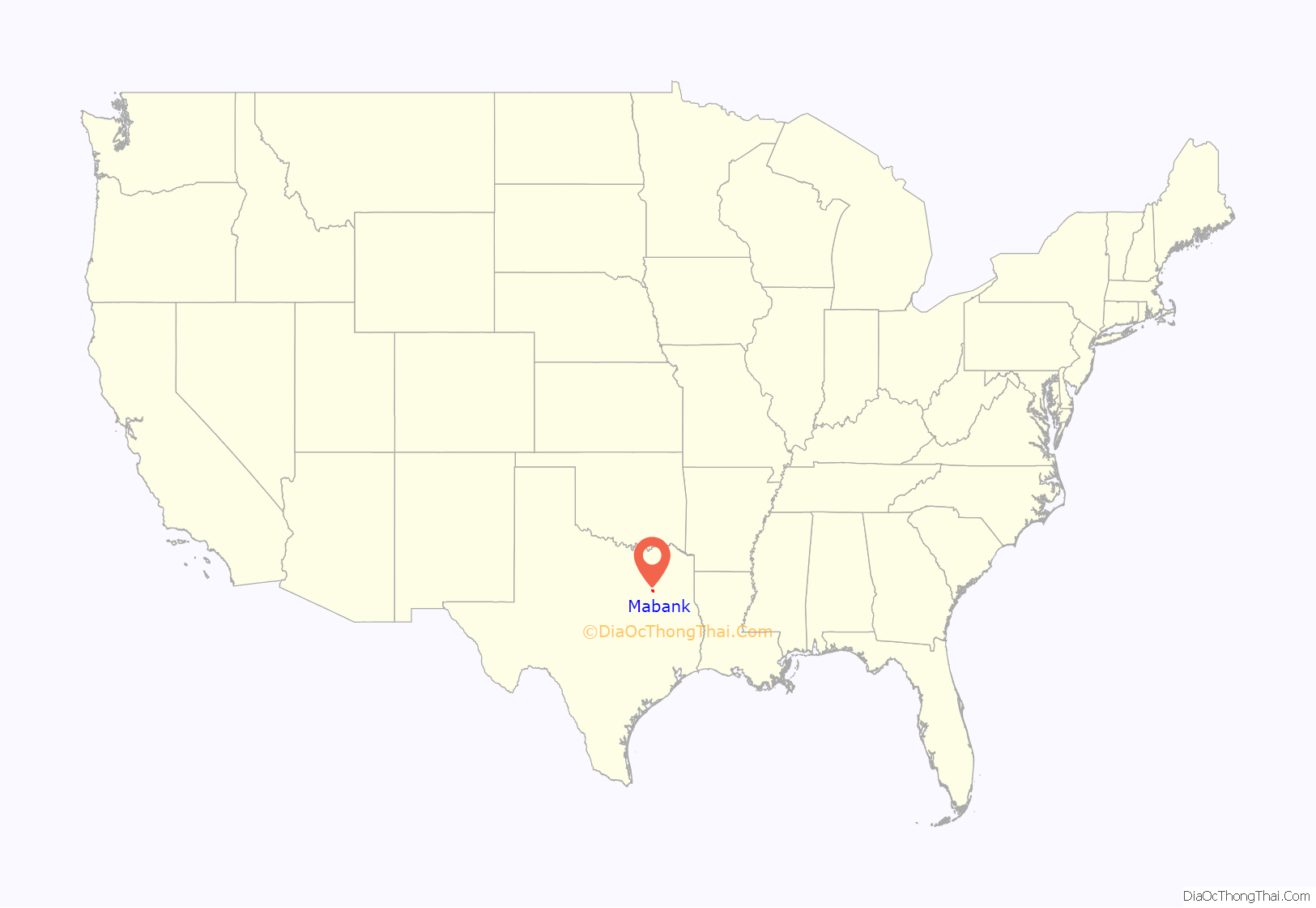
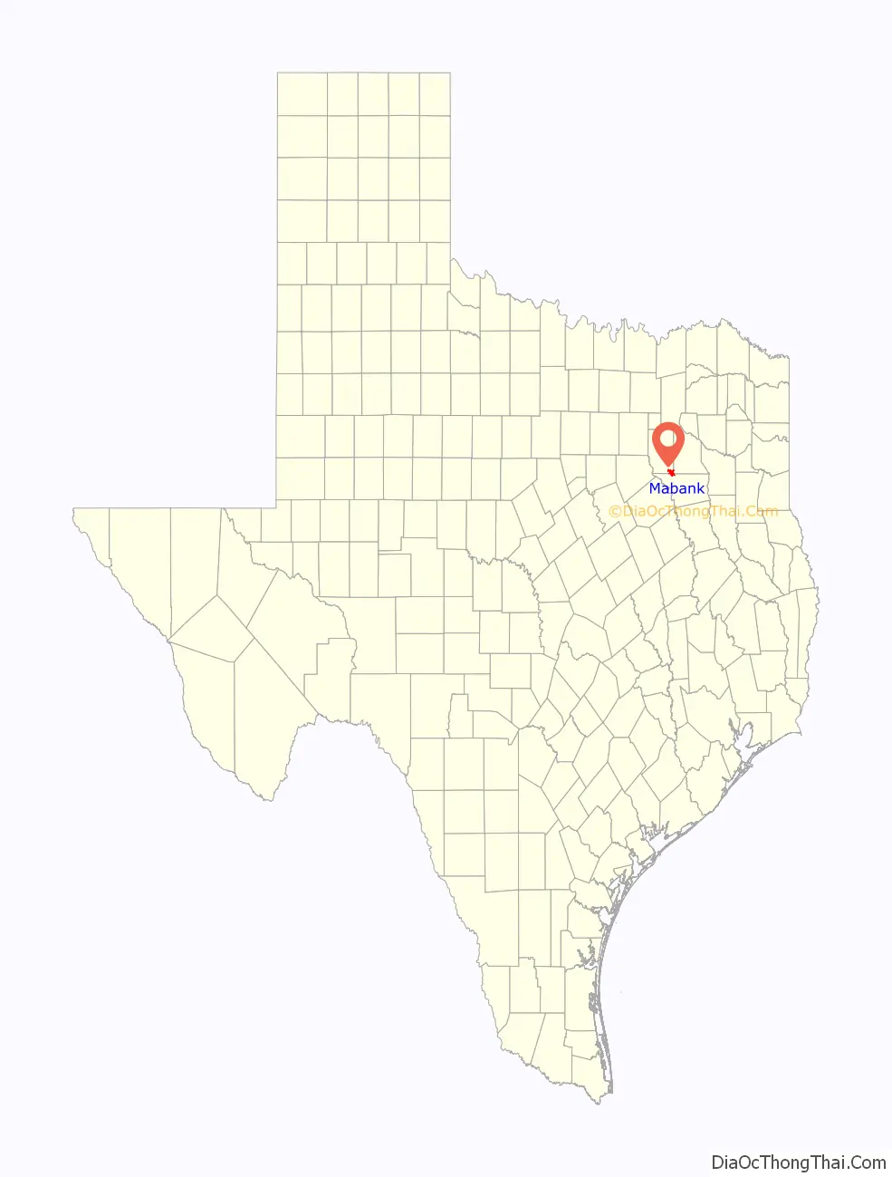
Mabank location map. Where is Mabank town?
History
Prior to the existence of Mabank in early 1900, the community of Lawndale was formed in the late 1880s. The community was noted for its agriculture in many areas, including cotton. With the Texas Trunk Railroad missing the community by a mile, though, ranchers Mason and Eubank decided to capitalize on the Texas Trunk and set aside one square mile of land and named it “Mabank”.
Mabank is a combination of the names Eubank and Mason, and is located one mile (1.6 km) southwest of the former community of Lawndale. Being only a mile away from Lawndale and located on the railroad, its citizens, churches, and businesses naturally decided to move there, thus attracting, over a brief period of about two years, much of what was Lawndale. This included the Lawndale Courier—the local newspaper that renamed itself the Mabank Courier.
The population, although small, remained relatively stable until the completion of Cedar Creek Reservoir in 1965. The town has since shown increases in population. Many of the descendants from the Masons and Eubanks still have connections to the town.
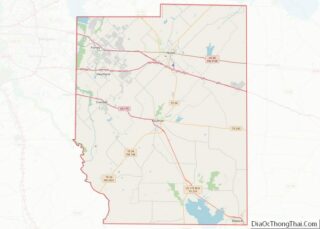
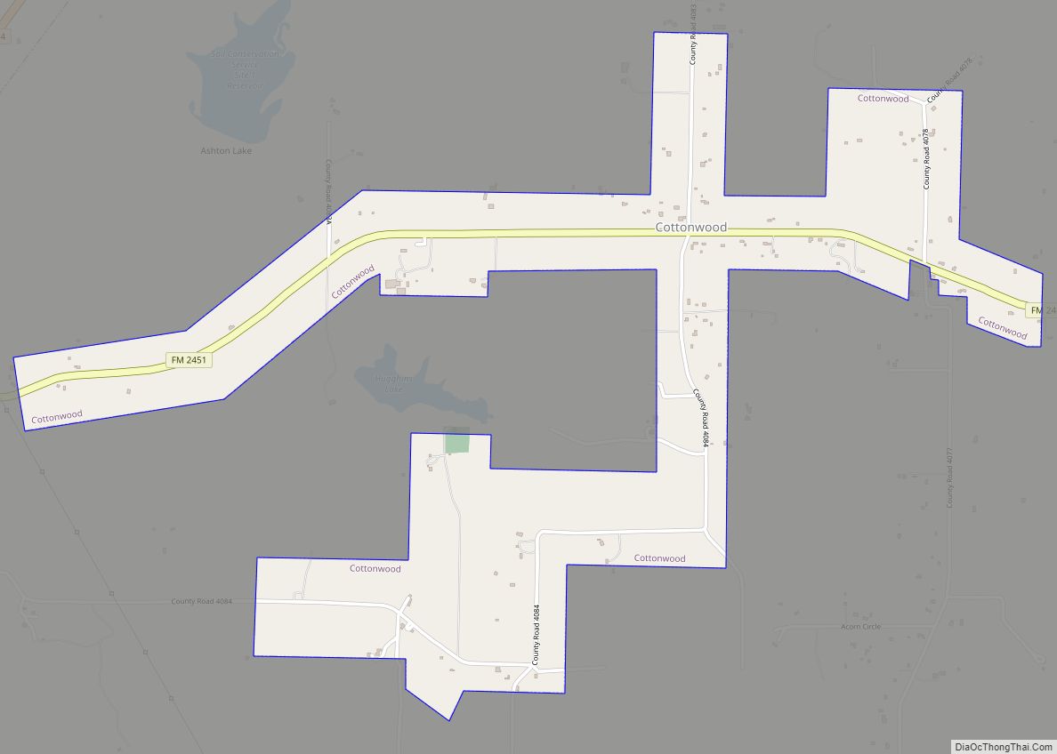
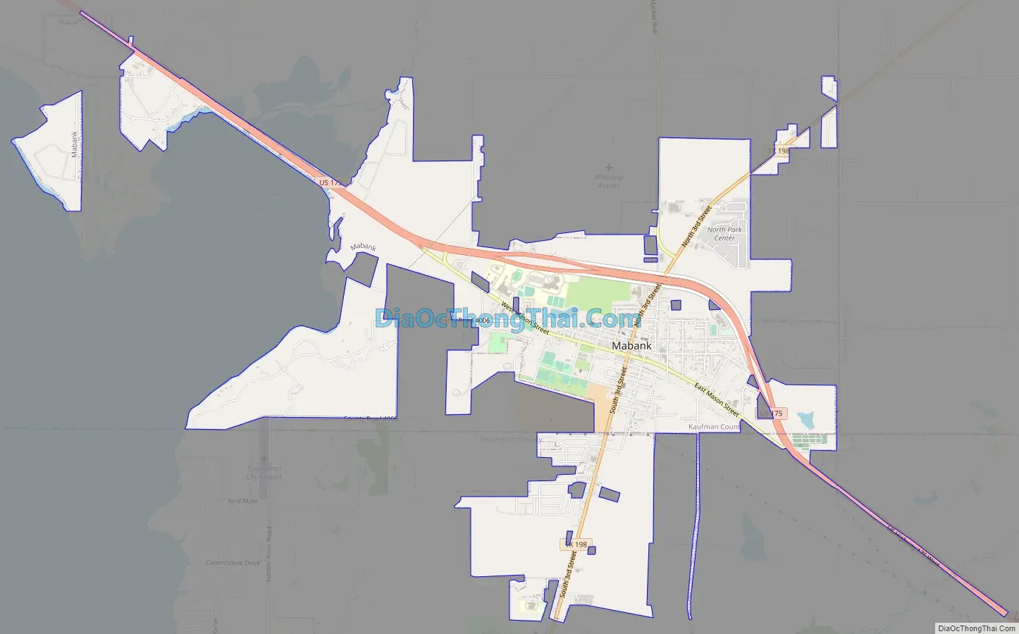
Mabank Road Map
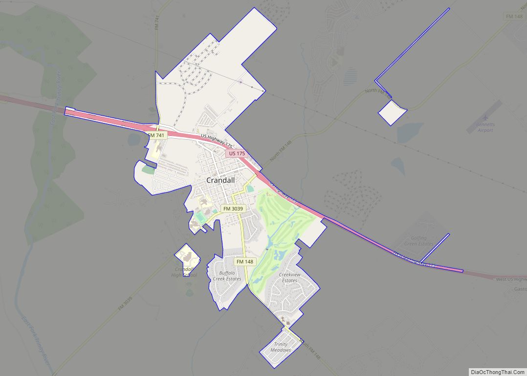
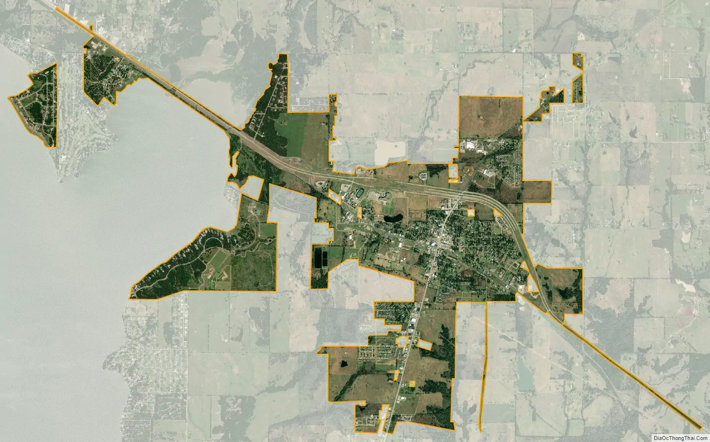
Mabank city Satellite Map
Geography
Mabank is located in the southeast corner of Kaufman County at 32°22′05″N 96°06′20″W / 32.368011°N 96.105573°W / 32.368011; -96.105573 (32.368011, –96.105573). The town limits extend south into Henderson County. U.S. Route 175 runs through the north side of the town, leading northwest 21 miles (34 km) to Kaufman and southeast 18 miles (29 km) to Athens. Downtown Dallas is 54 miles (87 km) northwest of Mabank.
According to the United States Census Bureau, the town has a total area of 7.2 square miles (18.7 km), of which 0.04 square miles (0.1 km), or 0.45%, is covered by water.
See also
Map of Texas State and its subdivision:- Anderson
- Andrews
- Angelina
- Aransas
- Archer
- Armstrong
- Atascosa
- Austin
- Bailey
- Bandera
- Bastrop
- Baylor
- Bee
- Bell
- Bexar
- Blanco
- Borden
- Bosque
- Bowie
- Brazoria
- Brazos
- Brewster
- Briscoe
- Brooks
- Brown
- Burleson
- Burnet
- Caldwell
- Calhoun
- Callahan
- Cameron
- Camp
- Carson
- Cass
- Castro
- Chambers
- Cherokee
- Childress
- Clay
- Cochran
- Coke
- Coleman
- Collin
- Collingsworth
- Colorado
- Comal
- Comanche
- Concho
- Cooke
- Coryell
- Cottle
- Crane
- Crockett
- Crosby
- Culberson
- Dallam
- Dallas
- Dawson
- Deaf Smith
- Delta
- Denton
- Dewitt
- Dickens
- Dimmit
- Donley
- Duval
- Eastland
- Ector
- Edwards
- El Paso
- Ellis
- Erath
- Falls
- Fannin
- Fayette
- Fisher
- Floyd
- Foard
- Fort Bend
- Franklin
- Freestone
- Frio
- Gaines
- Galveston
- Garza
- Gillespie
- Glasscock
- Goliad
- Gonzales
- Gray
- Grayson
- Gregg
- Grimes
- Guadalupe
- Hale
- Hall
- Hamilton
- Hansford
- Hardeman
- Hardin
- Harris
- Harrison
- Hartley
- Haskell
- Hays
- Hemphill
- Henderson
- Hidalgo
- Hill
- Hockley
- Hood
- Hopkins
- Houston
- Howard
- Hudspeth
- Hunt
- Hutchinson
- Irion
- Jack
- Jackson
- Jasper
- Jeff Davis
- Jefferson
- Jim Hogg
- Jim Wells
- Johnson
- Jones
- Karnes
- Kaufman
- Kendall
- Kenedy
- Kent
- Kerr
- Kimble
- King
- Kinney
- Kleberg
- Knox
- La Salle
- Lamar
- Lamb
- Lampasas
- Lavaca
- Lee
- Leon
- Liberty
- Limestone
- Lipscomb
- Live Oak
- Llano
- Loving
- Lubbock
- Lynn
- Madison
- Marion
- Martin
- Mason
- Matagorda
- Maverick
- McCulloch
- McLennan
- McMullen
- Medina
- Menard
- Midland
- Milam
- Mills
- Mitchell
- Montague
- Montgomery
- Moore
- Morris
- Motley
- Nacogdoches
- Navarro
- Newton
- Nolan
- Nueces
- Ochiltree
- Oldham
- Orange
- Palo Pinto
- Panola
- Parker
- Parmer
- Pecos
- Polk
- Potter
- Presidio
- Rains
- Randall
- Reagan
- Real
- Red River
- Reeves
- Refugio
- Roberts
- Robertson
- Rockwall
- Runnels
- Rusk
- Sabine
- San Augustine
- San Jacinto
- San Patricio
- San Saba
- Schleicher
- Scurry
- Shackelford
- Shelby
- Sherman
- Smith
- Somervell
- Starr
- Stephens
- Sterling
- Stonewall
- Sutton
- Swisher
- Tarrant
- Taylor
- Terrell
- Terry
- Throckmorton
- Titus
- Tom Green
- Travis
- Trinity
- Tyler
- Upshur
- Upton
- Uvalde
- Val Verde
- Van Zandt
- Victoria
- Walker
- Waller
- Ward
- Washington
- Webb
- Wharton
- Wheeler
- Wichita
- Wilbarger
- Willacy
- Williamson
- Wilson
- Winkler
- Wise
- Wood
- Yoakum
- Young
- Zapata
- Zavala
- Alabama
- Alaska
- Arizona
- Arkansas
- California
- Colorado
- Connecticut
- Delaware
- District of Columbia
- Florida
- Georgia
- Hawaii
- Idaho
- Illinois
- Indiana
- Iowa
- Kansas
- Kentucky
- Louisiana
- Maine
- Maryland
- Massachusetts
- Michigan
- Minnesota
- Mississippi
- Missouri
- Montana
- Nebraska
- Nevada
- New Hampshire
- New Jersey
- New Mexico
- New York
- North Carolina
- North Dakota
- Ohio
- Oklahoma
- Oregon
- Pennsylvania
- Rhode Island
- South Carolina
- South Dakota
- Tennessee
- Texas
- Utah
- Vermont
- Virginia
- Washington
- West Virginia
- Wisconsin
- Wyoming