Mountain City is a city in Hays County, Texas, United States. The population was 648 at the 2010 census.
From the early 1850s until the 1880s, Mountain City was a sprawling community on the old Stagecoach Road that served as an important hub in the ranching and farming industries of the newly formed Hays County. The original Mountain City was centered near the modern community of the same name, but stretched from the Blanco River around present-day Kyle all the way to Manchaca Springs northeast of present-day Buda.
The first settlers, such as Chattanooga native Phillip Allen and his family, landed in Mountain City around the time of the Texas Revolution in 1835 and 1836. Allen had acquired more than 4,600 acres (19 km) of land in what would become northern Hays County from Ben Milam’s colony grant from the Republic of Texas. But American Indians in the area fought to maintain control of their ancestral lands, driving the settlers away. Allen left to fight against Mexico for Texas independence.
In 1846, after the Texas Rangers had been enlisted to drive out the Indians, Allen and his family successfully settled their land. When Hays County was formed two years later, Allen became one of the first commissioners and was active in local politics until his death in 1860.
Another early family was the Buntons. Tennessee native John Wheeler Bunton moved to Texas in the early 1830s, signed the Texas Declaration of Independence, and served on the first Texas legislature. Just after the Texas Revolution, Bunton returned to Tennessee to marry his sweetheart, and brought back with him a company of 140 settlers for the new frontier. But while traveling by steamer from New Orleans to Texas, their ship was captured by a Mexican man of war and the party was imprisoned in Mexico city for three days.
According to historical lore, Bunton’s smooth-talking wife, Mary Howell Bunton, convinced their captors that they were American citizens legally entering Texas under the colonization law granted by Mexico to Stephen F. Austin. After their release, the Buntons continued on to Mountain City, where they built their “Rancho Rambolette” and began to farm and raise a family. Other early settlers included families such as the Vaughans, Bartons, Barbers, Porters, Moores, Rectors and Turners.
The Texas population began to grow rapidly in the 1850s, and Mountain City was no exception. By the 1850s, the small farming and ranching community was starting to thrive, with schools, churches, businesses, mills and gins. In 1855, the community built its first school, Live Oak Academy, with a professor Gibson as the first teacher, followed by John Edgar. The satellite communities of Elm Grove and Science Hall, near the sites of the recently constructed schools by the same names, also had schools and small commercial centers. 1855 also saw the formation of the first house of worship, the Cumberland Presbyterian Church. Baptist and Methodist churches followed in the 1870s. Along with the churches came the Chicago bar, located on the southern end of Mountain City, near the present day location of Wallace Middle School.
Col. W.W. Haupt, who came to Mountain City in 1857, opened a store around the location of the current Hays High School that became home to the Mountain City post office; he also served as postmaster. Two other prominent stores, run by Mr. Schmidt and Mr. Barber, were located about a mile north. The civil war era saw a population boom, and many young men of Mountain City served in the 32nd Cavalry regiment under Col. P.C. Woods and Capt. J.G. Story.
But much like the small towns of the 1940s that would wither when bypassed by the interstate, Mountain City’s fate depended on the railroad coming to town. For isolated communities at the mercy of the slow stagecoach line for communication with the world at large, the railroad was truly a life-changing development, bringing mail service, trade, and connections with the bustling cities of Austin and San Antonio. The fight for a depot was fierce, and the family of State Senator Fergus Kyle, living in the Blanco River area south of Mountain City, had the political connections to get the tracks laid through their neck of the woods, bypassing Mountain City to the east. The Kyle family deeded 200 acres (0.81 km) to the International-Great Northern Railroad, securing their place in history as founders of a town that would bear their name. From that moment on, Mountain City’s days were numbered.
As the fledgling railroad towns of Buda and Kyle sprang to life in the early 1880s, the residents of Mountain City began their exodus. Mountain City quickly dried up. Local schools hung on through the early 1930s, the only hint that the area had once been the regional center of commerce.
In 1990 Mountain City’s population was 377, and by the 2000 census, it had risen to 671. Now it’s in excess of 700, according to census estimates.
| Name: | Mountain City city |
|---|---|
| LSAD Code: | 25 |
| LSAD Description: | city (suffix) |
| State: | Texas |
| County: | Hays County |
| Elevation: | 823 ft (251 m) |
| Total Area: | 0.53 sq mi (1.36 km²) |
| Land Area: | 0.53 sq mi (1.36 km²) |
| Water Area: | 0.00 sq mi (0.00 km²) |
| Total Population: | 648 |
| Population Density: | 1,539.92/sq mi (595.02/km²) |
| ZIP code: | 78610 |
| Area code: | 512 |
| FIPS code: | 4849600 |
| GNISfeature ID: | 1378711 |
Online Interactive Map
Click on ![]() to view map in "full screen" mode.
to view map in "full screen" mode.
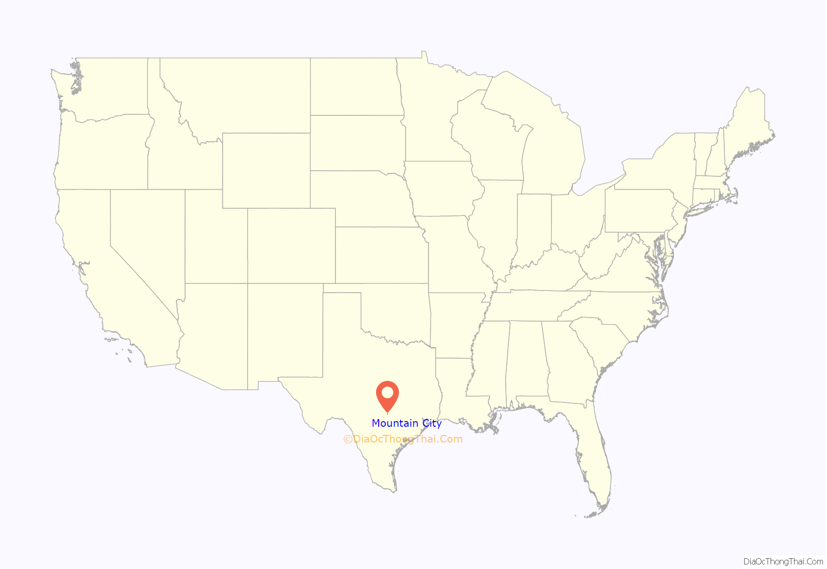
Mountain City location map. Where is Mountain City city?
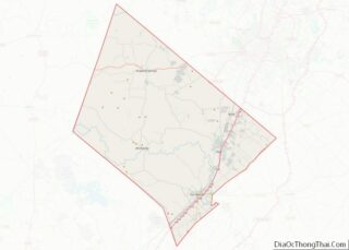
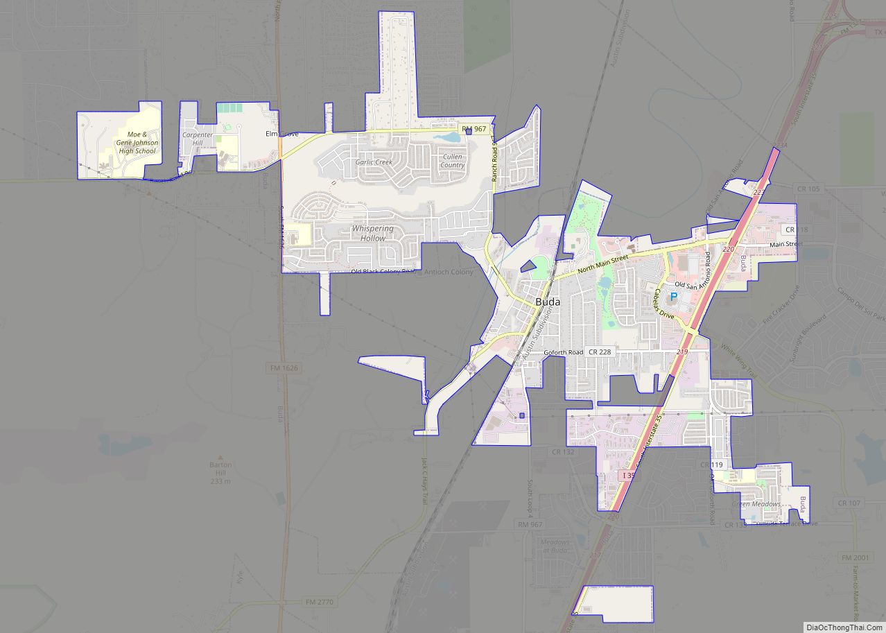
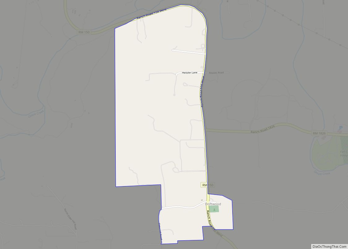
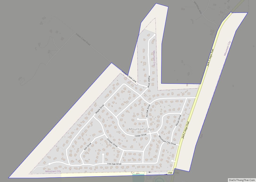
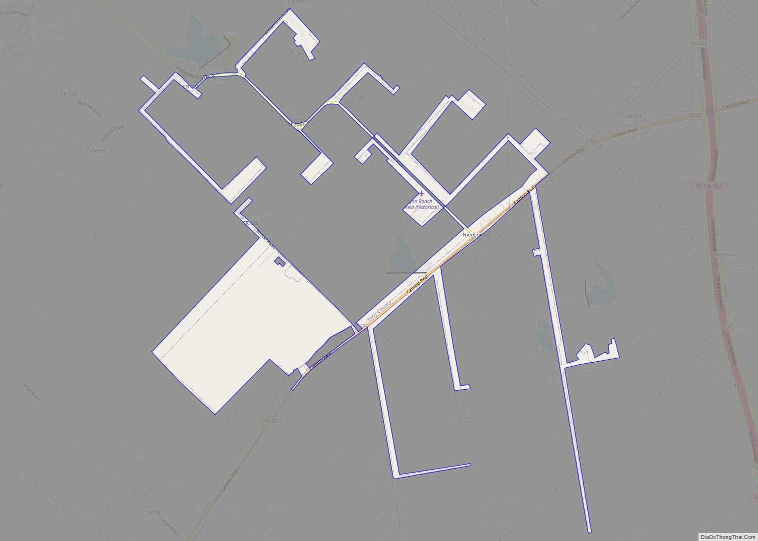
Mountain City Road Map
Mountain City city Satellite Map
Geography
Mountain City is located at 30°02′24″N 97°53′27″W / 30.039930°N 97.890970°W / 30.039930; -97.890970 (30.039930, –97.890970). This is between Kyle and Buda, about 20 miles (32 km) southwest of Austin.
According to the United States Census Bureau, the city has a total area of 0.5 square miles (1.2 km), all of it land.
See also
Map of Texas State and its subdivision:- Anderson
- Andrews
- Angelina
- Aransas
- Archer
- Armstrong
- Atascosa
- Austin
- Bailey
- Bandera
- Bastrop
- Baylor
- Bee
- Bell
- Bexar
- Blanco
- Borden
- Bosque
- Bowie
- Brazoria
- Brazos
- Brewster
- Briscoe
- Brooks
- Brown
- Burleson
- Burnet
- Caldwell
- Calhoun
- Callahan
- Cameron
- Camp
- Carson
- Cass
- Castro
- Chambers
- Cherokee
- Childress
- Clay
- Cochran
- Coke
- Coleman
- Collin
- Collingsworth
- Colorado
- Comal
- Comanche
- Concho
- Cooke
- Coryell
- Cottle
- Crane
- Crockett
- Crosby
- Culberson
- Dallam
- Dallas
- Dawson
- Deaf Smith
- Delta
- Denton
- Dewitt
- Dickens
- Dimmit
- Donley
- Duval
- Eastland
- Ector
- Edwards
- El Paso
- Ellis
- Erath
- Falls
- Fannin
- Fayette
- Fisher
- Floyd
- Foard
- Fort Bend
- Franklin
- Freestone
- Frio
- Gaines
- Galveston
- Garza
- Gillespie
- Glasscock
- Goliad
- Gonzales
- Gray
- Grayson
- Gregg
- Grimes
- Guadalupe
- Hale
- Hall
- Hamilton
- Hansford
- Hardeman
- Hardin
- Harris
- Harrison
- Hartley
- Haskell
- Hays
- Hemphill
- Henderson
- Hidalgo
- Hill
- Hockley
- Hood
- Hopkins
- Houston
- Howard
- Hudspeth
- Hunt
- Hutchinson
- Irion
- Jack
- Jackson
- Jasper
- Jeff Davis
- Jefferson
- Jim Hogg
- Jim Wells
- Johnson
- Jones
- Karnes
- Kaufman
- Kendall
- Kenedy
- Kent
- Kerr
- Kimble
- King
- Kinney
- Kleberg
- Knox
- La Salle
- Lamar
- Lamb
- Lampasas
- Lavaca
- Lee
- Leon
- Liberty
- Limestone
- Lipscomb
- Live Oak
- Llano
- Loving
- Lubbock
- Lynn
- Madison
- Marion
- Martin
- Mason
- Matagorda
- Maverick
- McCulloch
- McLennan
- McMullen
- Medina
- Menard
- Midland
- Milam
- Mills
- Mitchell
- Montague
- Montgomery
- Moore
- Morris
- Motley
- Nacogdoches
- Navarro
- Newton
- Nolan
- Nueces
- Ochiltree
- Oldham
- Orange
- Palo Pinto
- Panola
- Parker
- Parmer
- Pecos
- Polk
- Potter
- Presidio
- Rains
- Randall
- Reagan
- Real
- Red River
- Reeves
- Refugio
- Roberts
- Robertson
- Rockwall
- Runnels
- Rusk
- Sabine
- San Augustine
- San Jacinto
- San Patricio
- San Saba
- Schleicher
- Scurry
- Shackelford
- Shelby
- Sherman
- Smith
- Somervell
- Starr
- Stephens
- Sterling
- Stonewall
- Sutton
- Swisher
- Tarrant
- Taylor
- Terrell
- Terry
- Throckmorton
- Titus
- Tom Green
- Travis
- Trinity
- Tyler
- Upshur
- Upton
- Uvalde
- Val Verde
- Van Zandt
- Victoria
- Walker
- Waller
- Ward
- Washington
- Webb
- Wharton
- Wheeler
- Wichita
- Wilbarger
- Willacy
- Williamson
- Wilson
- Winkler
- Wise
- Wood
- Yoakum
- Young
- Zapata
- Zavala
- Alabama
- Alaska
- Arizona
- Arkansas
- California
- Colorado
- Connecticut
- Delaware
- District of Columbia
- Florida
- Georgia
- Hawaii
- Idaho
- Illinois
- Indiana
- Iowa
- Kansas
- Kentucky
- Louisiana
- Maine
- Maryland
- Massachusetts
- Michigan
- Minnesota
- Mississippi
- Missouri
- Montana
- Nebraska
- Nevada
- New Hampshire
- New Jersey
- New Mexico
- New York
- North Carolina
- North Dakota
- Ohio
- Oklahoma
- Oregon
- Pennsylvania
- Rhode Island
- South Carolina
- South Dakota
- Tennessee
- Texas
- Utah
- Vermont
- Virginia
- Washington
- West Virginia
- Wisconsin
- Wyoming
