Rosharon (/roʊˈʃɛərən/ roh-SHAIR-ən), is an unincorporated community and census-designated place (CDP) split between Brazoria County and Fort Bend County, Texas, United States, at the intersection of Farm to Market Road 521 and Farm to Market Road 1462. As of the 2010 census, it had a population of 1,152.
| Name: | Rosharon CDP |
|---|---|
| LSAD Code: | 57 |
| LSAD Description: | CDP (suffix) |
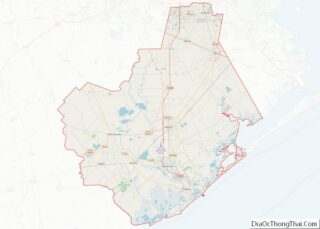
| State: | Texas |
| County: | Brazoria County |
| Total Area: | 3.2 sq mi (8.3 km²) |
| Land Area: | 3.2 sq mi (8.3 km²) |
| Water Area: | 0.0 sq mi (0.0 km²) |
| Total Population: | 1,152 |
| Population Density: | 358/sq mi (138.4/km²) |
| ZIP code: | 77583 |
| Area code: | 281 & 979 |
| FIPS code: | 4863332 |
| GNISfeature ID: | 1366883 |
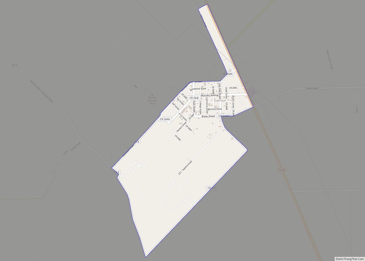
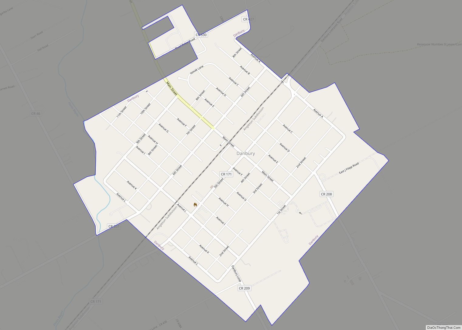
Online Interactive Map
Click on ![]() to view map in "full screen" mode.
to view map in "full screen" mode.
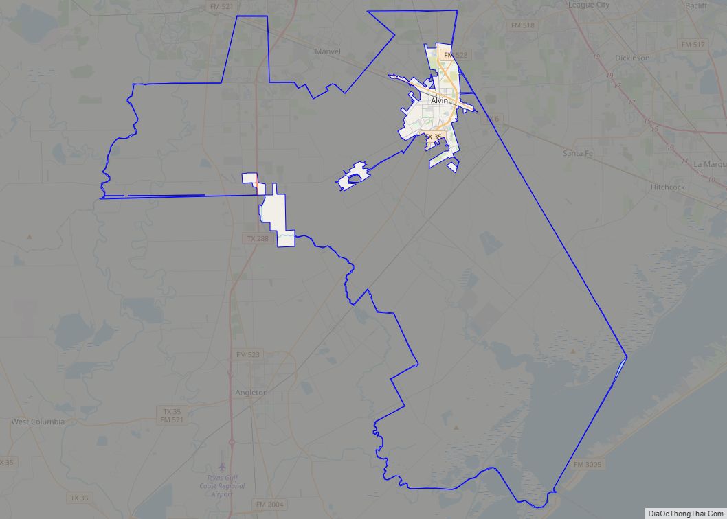
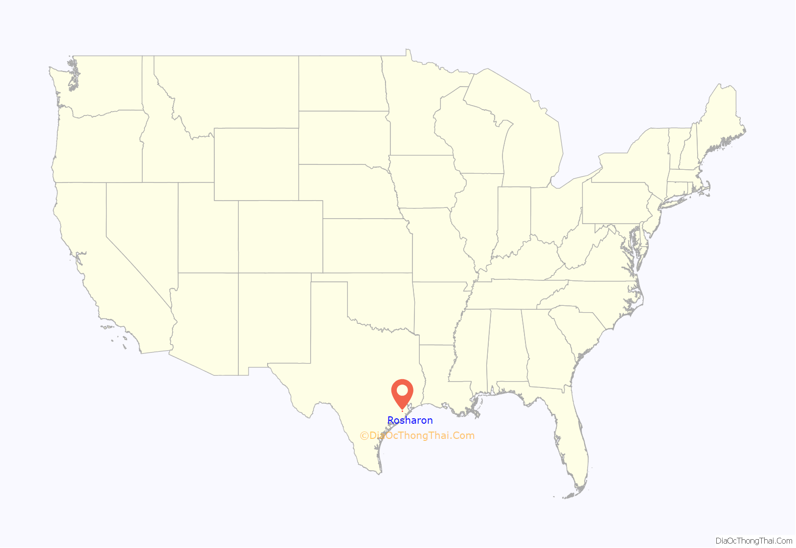
Rosharon location map. Where is Rosharon CDP?
History
The Rosharon town site went unnamed during its early years. The area was settled by cotton and sugar plantations before the Civil War. Once the Houston Tap and Brazoria Railway (Columbia Tap) was completed in 1859, the Rosharon stop on the train line was given the name Masterson’s Station, after a nearby plantation owned by Thomas G. Masterson (ca. 1813–1884). Rosharon was known locally by trainmen as “Buttermilk Station” because an early resident was known to bring a bucket of buttermilk and a dipper to the railroad station to give the engineer and crew a drink.
George Wetmore Colles, Jr. (1871–1951), an electrical and mechanical engineer educated at Yale University (BA 1892) and the Stevens Institute of Technology, bought property in the area around 1900 and called his estate the Rose of Sharon Garden Ranch after the many Cherokee Roses (Rosa laevigata) that grew there. Colles also designed the community water system.
Antonio G. Arcaro served as Rosharon’s postmaster from 1912 to 1920. The Rosharon post office was discontinued in 1920 and mail was then sent to Sandy Point. The post office reopened in 1936, only to be closed again in 1979. A new post office was dedicated under President Ronald Reagan and operates today.
Tom Lochridge (1903–1985) platted the town site. Lochridge was responsible for having a cotton gin moved to Rosharon from Houston. Aside from providing employment for several persons, the gin’s engine was used as Rosharon’s first power plant. The community’s first telephone exchange was operated out of Lochridge’s home.
Rosharon’s school was initially held in private home, and later in its own building. Eventually, the Rosharon school district was consolidated with the Angleton schools. Students began being bussed to Angleton in the late 1900s, a practice that continues to this day.
Church meetings were first held in a former school, then in a tavern that community members had bought and converted into a church. Eventually a brick church was constructed.
The South Texas Water Company located in Rosharon in 1935, and its fresh watercanals for irrigating rice brought some seventy-five to eighty rice farmers to the area.
By the late 1980s, Rosharon had an estimated population of 500. In 1990 the population was 435. Most residents commute to jobs in nearby towns.
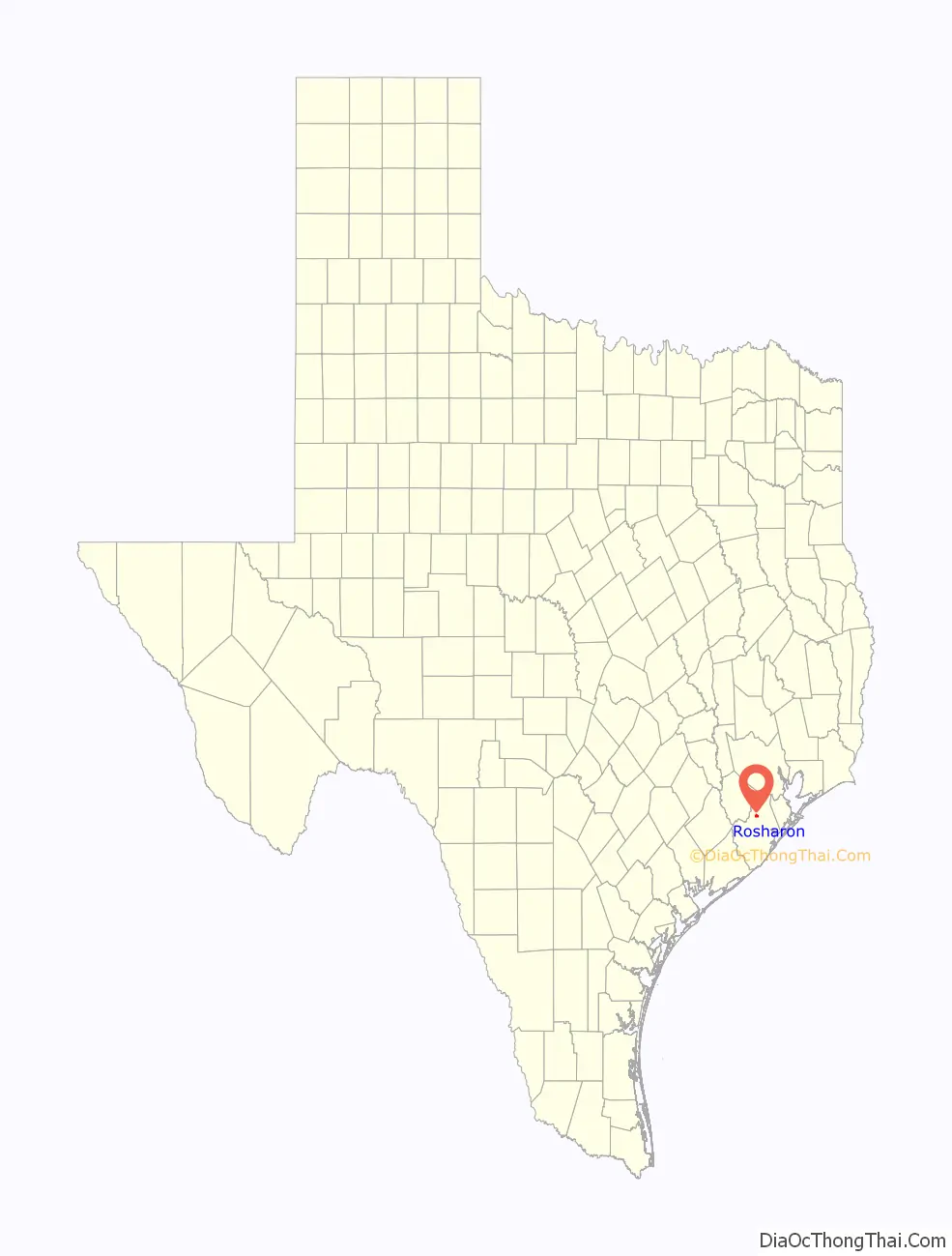
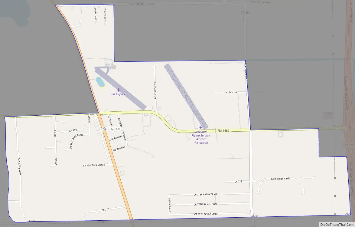
Rosharon Road Map
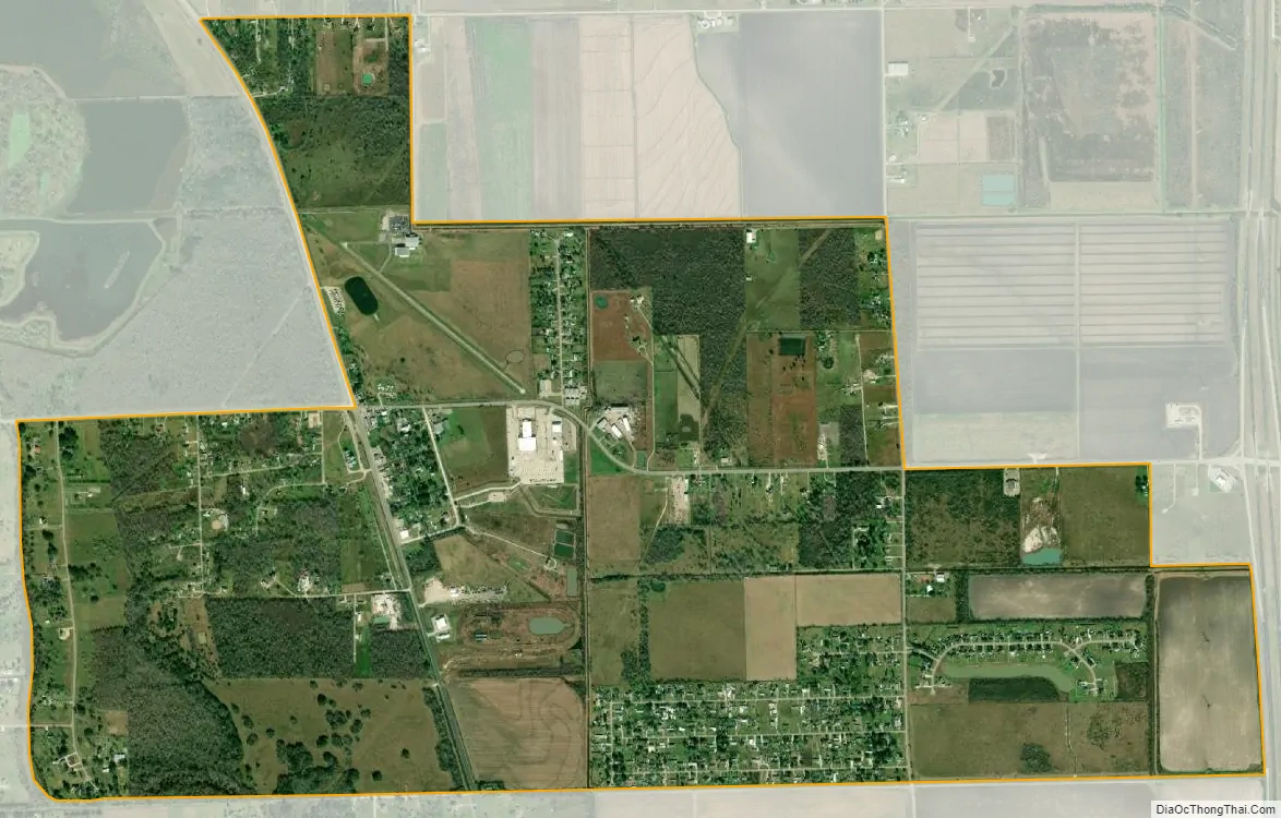
Rosharon city Satellite Map
See also
Map of Texas State and its subdivision:- Anderson
- Andrews
- Angelina
- Aransas
- Archer
- Armstrong
- Atascosa
- Austin
- Bailey
- Bandera
- Bastrop
- Baylor
- Bee
- Bell
- Bexar
- Blanco
- Borden
- Bosque
- Bowie
- Brazoria
- Brazos
- Brewster
- Briscoe
- Brooks
- Brown
- Burleson
- Burnet
- Caldwell
- Calhoun
- Callahan
- Cameron
- Camp
- Carson
- Cass
- Castro
- Chambers
- Cherokee
- Childress
- Clay
- Cochran
- Coke
- Coleman
- Collin
- Collingsworth
- Colorado
- Comal
- Comanche
- Concho
- Cooke
- Coryell
- Cottle
- Crane
- Crockett
- Crosby
- Culberson
- Dallam
- Dallas
- Dawson
- Deaf Smith
- Delta
- Denton
- Dewitt
- Dickens
- Dimmit
- Donley
- Duval
- Eastland
- Ector
- Edwards
- El Paso
- Ellis
- Erath
- Falls
- Fannin
- Fayette
- Fisher
- Floyd
- Foard
- Fort Bend
- Franklin
- Freestone
- Frio
- Gaines
- Galveston
- Garza
- Gillespie
- Glasscock
- Goliad
- Gonzales
- Gray
- Grayson
- Gregg
- Grimes
- Guadalupe
- Hale
- Hall
- Hamilton
- Hansford
- Hardeman
- Hardin
- Harris
- Harrison
- Hartley
- Haskell
- Hays
- Hemphill
- Henderson
- Hidalgo
- Hill
- Hockley
- Hood
- Hopkins
- Houston
- Howard
- Hudspeth
- Hunt
- Hutchinson
- Irion
- Jack
- Jackson
- Jasper
- Jeff Davis
- Jefferson
- Jim Hogg
- Jim Wells
- Johnson
- Jones
- Karnes
- Kaufman
- Kendall
- Kenedy
- Kent
- Kerr
- Kimble
- King
- Kinney
- Kleberg
- Knox
- La Salle
- Lamar
- Lamb
- Lampasas
- Lavaca
- Lee
- Leon
- Liberty
- Limestone
- Lipscomb
- Live Oak
- Llano
- Loving
- Lubbock
- Lynn
- Madison
- Marion
- Martin
- Mason
- Matagorda
- Maverick
- McCulloch
- McLennan
- McMullen
- Medina
- Menard
- Midland
- Milam
- Mills
- Mitchell
- Montague
- Montgomery
- Moore
- Morris
- Motley
- Nacogdoches
- Navarro
- Newton
- Nolan
- Nueces
- Ochiltree
- Oldham
- Orange
- Palo Pinto
- Panola
- Parker
- Parmer
- Pecos
- Polk
- Potter
- Presidio
- Rains
- Randall
- Reagan
- Real
- Red River
- Reeves
- Refugio
- Roberts
- Robertson
- Rockwall
- Runnels
- Rusk
- Sabine
- San Augustine
- San Jacinto
- San Patricio
- San Saba
- Schleicher
- Scurry
- Shackelford
- Shelby
- Sherman
- Smith
- Somervell
- Starr
- Stephens
- Sterling
- Stonewall
- Sutton
- Swisher
- Tarrant
- Taylor
- Terrell
- Terry
- Throckmorton
- Titus
- Tom Green
- Travis
- Trinity
- Tyler
- Upshur
- Upton
- Uvalde
- Val Verde
- Van Zandt
- Victoria
- Walker
- Waller
- Ward
- Washington
- Webb
- Wharton
- Wheeler
- Wichita
- Wilbarger
- Willacy
- Williamson
- Wilson
- Winkler
- Wise
- Wood
- Yoakum
- Young
- Zapata
- Zavala
- Alabama
- Alaska
- Arizona
- Arkansas
- California
- Colorado
- Connecticut
- Delaware
- District of Columbia
- Florida
- Georgia
- Hawaii
- Idaho
- Illinois
- Indiana
- Iowa
- Kansas
- Kentucky
- Louisiana
- Maine
- Maryland
- Massachusetts
- Michigan
- Minnesota
- Mississippi
- Missouri
- Montana
- Nebraska
- Nevada
- New Hampshire
- New Jersey
- New Mexico
- New York
- North Carolina
- North Dakota
- Ohio
- Oklahoma
- Oregon
- Pennsylvania
- Rhode Island
- South Carolina
- South Dakota
- Tennessee
- Texas
- Utah
- Vermont
- Virginia
- Washington
- West Virginia
- Wisconsin
- Wyoming