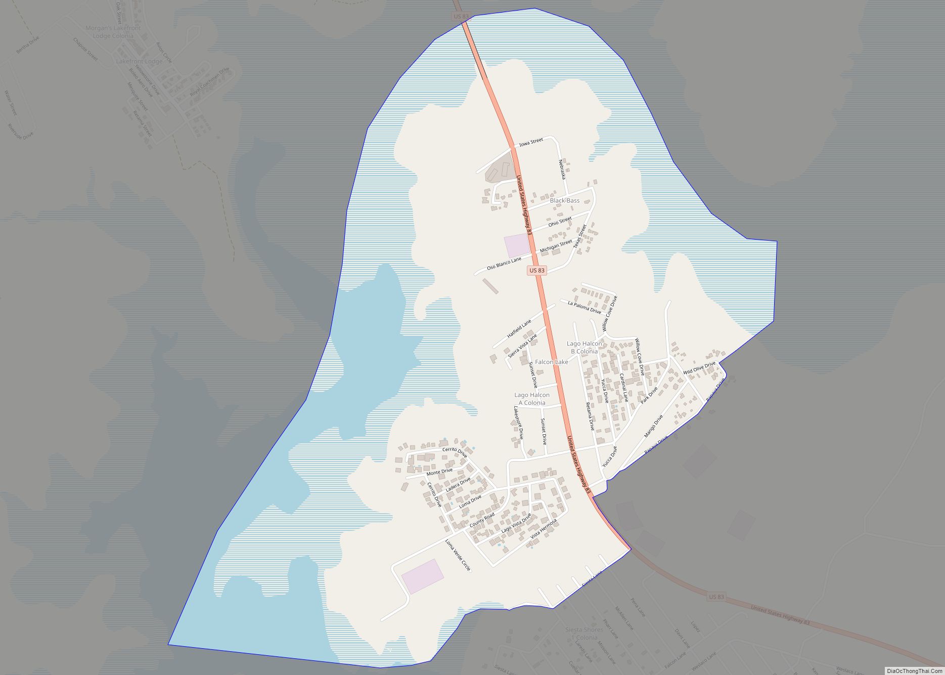
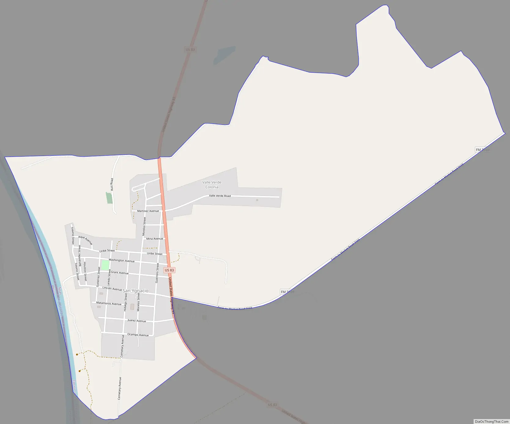
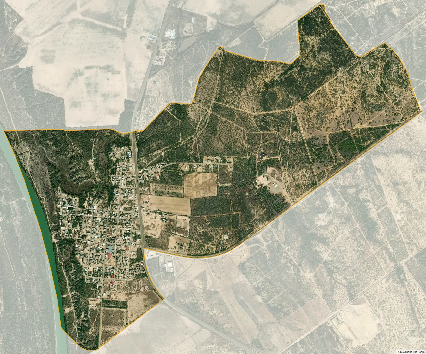
San Ygnacio is a census-designated place (CDP) in Zapata County, Texas, in the United States. As of the 2010 census, the CDP population was 667. It is named for the prominent Spanish saint, Ignatius of Loyola. The portion of the community between the Rio Grande and U.S. Highway 83 is listed on the National Register of Historic Places as San Ygnacio Historic District.
| Name: | San Ygnacio CDP |
|---|---|
| LSAD Code: | 57 |
| LSAD Description: | CDP (suffix) |
| State: | Texas |
| County: | Zapata County |
| Total Area: | 1.6 sq mi (4 km²) |
| Land Area: | 1.5 sq mi (4 km²) |
| Water Area: | 0.1 sq mi (0.3 km²) |
| Total Population: | 667 |
| Population Density: | 420/sq mi (160/km²) |
| FIPS code: | 4865792 |
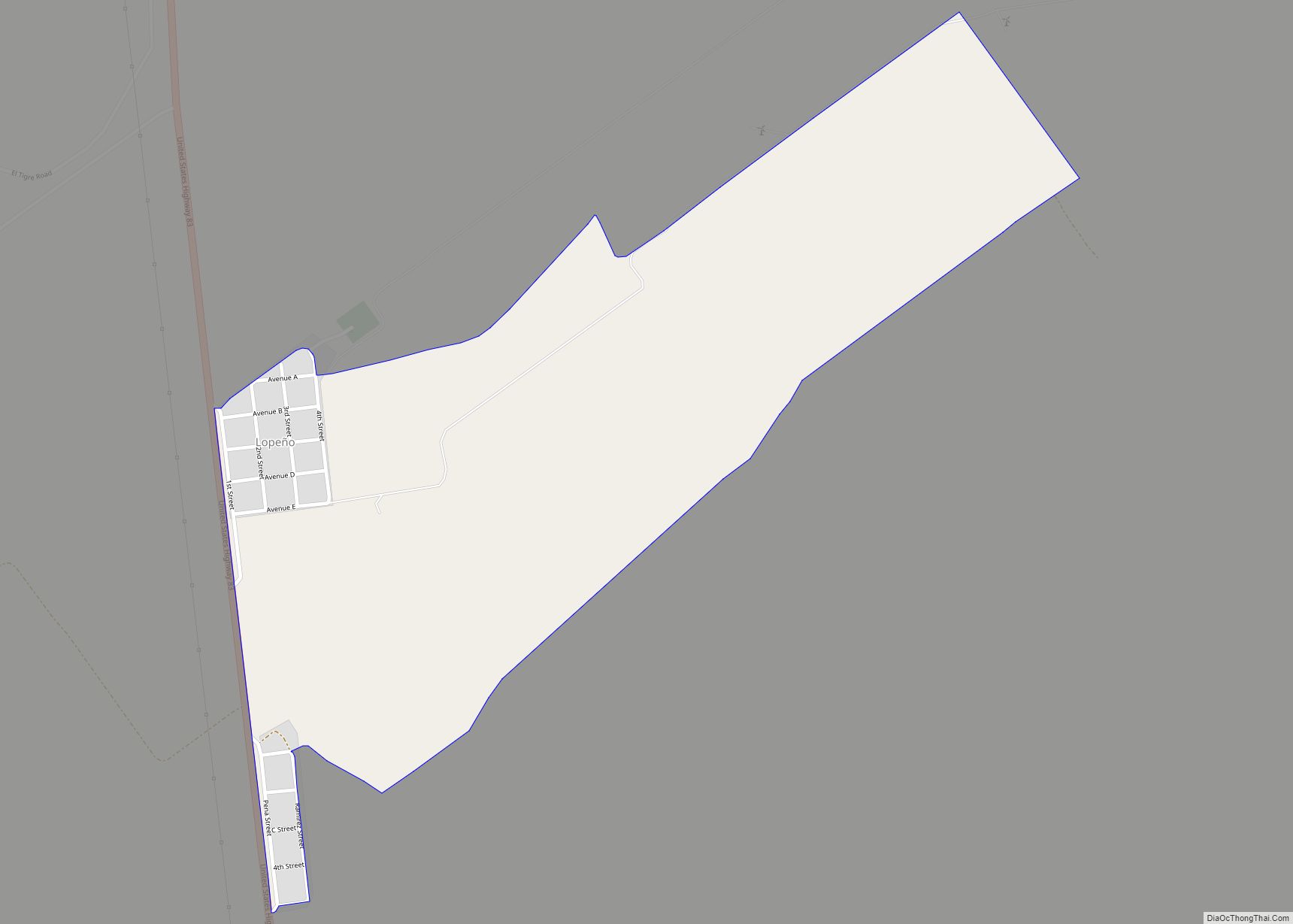
Online Interactive Map
Click on ![]() to view map in "full screen" mode.
to view map in "full screen" mode.
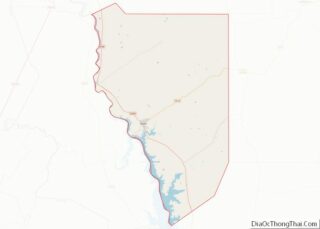
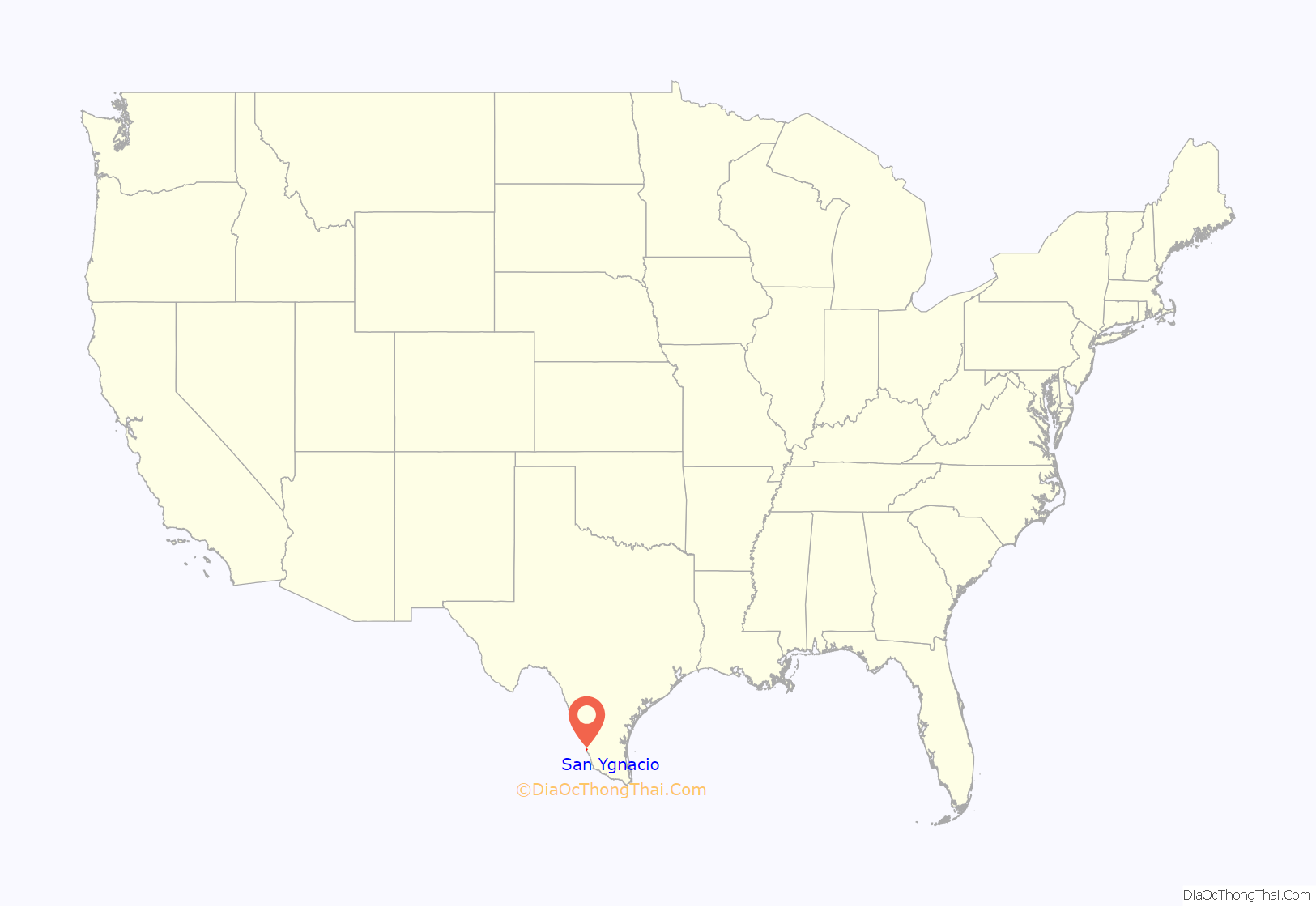
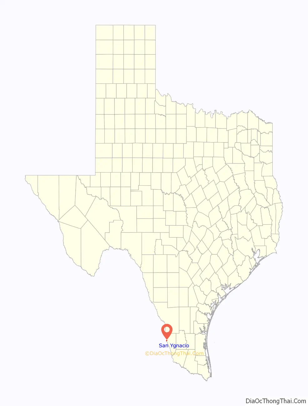
San Ygnacio location map. Where is San Ygnacio CDP?
History
San Ygnacio, originally a Mexican pueblo, was founded in 1830 by settlers from nearby Guerrero, Tamaulipas on the outskirts of the recently established Uribeno Ranch. Frequent Comanche attacks in the early days of San Ygnacio necessitated the use of defensive stone architecture which has endowed the present area with uncharacteristically enduring historical sites from that period.
San Ygnacio is also historically notable for its involvement in the short-lived revolution of the Rio Grande Republic, which was established at meetings which were convened in the town in 1839.
San Ygnacio played an important role in the Garza Revolution from 1891 to 1893. Multiple small battles were fought near the town in both Mexican and American territory.
San Ygnacio was attacked in June 1916 by either Mexican Carrancistas or Seditionists. On June 10, approximately 100 Mexicans fought a losing battle with about 150 American soldiers from the 14th Cavalry.
San Ygnacio was the site of the filming of the 1952 film Viva Zapata.
Although many of San Ygnacio’s neighboring municipalities were evacuated and consolidated in the deliberate 1953 flooding of the region which created Falcon Lake and “New” Zapata, San Ygnacio’s residents petitioned for the right to remain on their land, which was high enough to escape substantial damage. Having survived, its architectural heritage was acknowledged in 1972 when it was added to the National Register of Historic Places, being the last standing collection of Mexican Ranch vernacular architecture, representing the 19th century settlement of the lower Rio Grande valley. Its oldest building is now a National Historic Landmark, the Treviño-Uribe Rancho, built 1830.
The private River Pierce Foundation works to continue the restoration of the San Ygnacio Historic District.
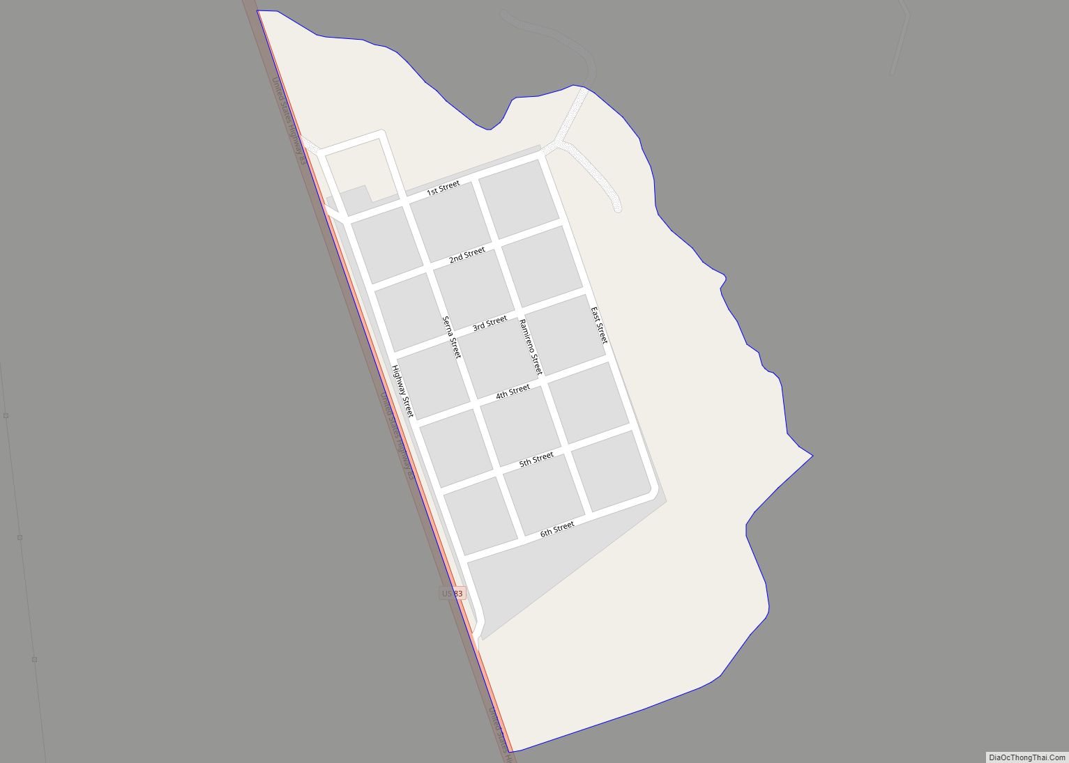
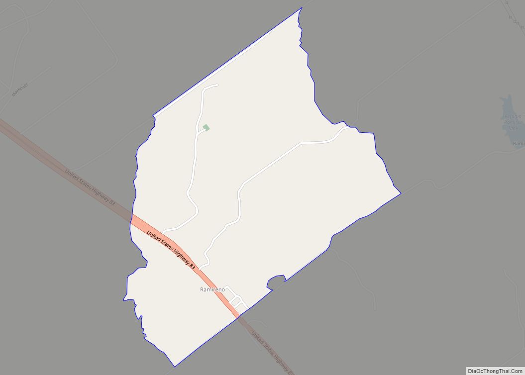
San Ygnacio Road Map
San Ygnacio city Satellite Map
Geography
San Ygnacio is located at 27°2′38″N 99°26′23″W / 27.04389°N 99.43972°W / 27.04389; -99.43972 (27.043938, -99.439726).
According to the United States Census Bureau, the CDP has a total area of 1.6 square miles (4.1 km), of which, 1.5 square miles (3.9 km) of it is land and 0.1 square miles (0.26 km) is water.
See also
Map of Texas State and its subdivision:- Anderson
- Andrews
- Angelina
- Aransas
- Archer
- Armstrong
- Atascosa
- Austin
- Bailey
- Bandera
- Bastrop
- Baylor
- Bee
- Bell
- Bexar
- Blanco
- Borden
- Bosque
- Bowie
- Brazoria
- Brazos
- Brewster
- Briscoe
- Brooks
- Brown
- Burleson
- Burnet
- Caldwell
- Calhoun
- Callahan
- Cameron
- Camp
- Carson
- Cass
- Castro
- Chambers
- Cherokee
- Childress
- Clay
- Cochran
- Coke
- Coleman
- Collin
- Collingsworth
- Colorado
- Comal
- Comanche
- Concho
- Cooke
- Coryell
- Cottle
- Crane
- Crockett
- Crosby
- Culberson
- Dallam
- Dallas
- Dawson
- Deaf Smith
- Delta
- Denton
- Dewitt
- Dickens
- Dimmit
- Donley
- Duval
- Eastland
- Ector
- Edwards
- El Paso
- Ellis
- Erath
- Falls
- Fannin
- Fayette
- Fisher
- Floyd
- Foard
- Fort Bend
- Franklin
- Freestone
- Frio
- Gaines
- Galveston
- Garza
- Gillespie
- Glasscock
- Goliad
- Gonzales
- Gray
- Grayson
- Gregg
- Grimes
- Guadalupe
- Hale
- Hall
- Hamilton
- Hansford
- Hardeman
- Hardin
- Harris
- Harrison
- Hartley
- Haskell
- Hays
- Hemphill
- Henderson
- Hidalgo
- Hill
- Hockley
- Hood
- Hopkins
- Houston
- Howard
- Hudspeth
- Hunt
- Hutchinson
- Irion
- Jack
- Jackson
- Jasper
- Jeff Davis
- Jefferson
- Jim Hogg
- Jim Wells
- Johnson
- Jones
- Karnes
- Kaufman
- Kendall
- Kenedy
- Kent
- Kerr
- Kimble
- King
- Kinney
- Kleberg
- Knox
- La Salle
- Lamar
- Lamb
- Lampasas
- Lavaca
- Lee
- Leon
- Liberty
- Limestone
- Lipscomb
- Live Oak
- Llano
- Loving
- Lubbock
- Lynn
- Madison
- Marion
- Martin
- Mason
- Matagorda
- Maverick
- McCulloch
- McLennan
- McMullen
- Medina
- Menard
- Midland
- Milam
- Mills
- Mitchell
- Montague
- Montgomery
- Moore
- Morris
- Motley
- Nacogdoches
- Navarro
- Newton
- Nolan
- Nueces
- Ochiltree
- Oldham
- Orange
- Palo Pinto
- Panola
- Parker
- Parmer
- Pecos
- Polk
- Potter
- Presidio
- Rains
- Randall
- Reagan
- Real
- Red River
- Reeves
- Refugio
- Roberts
- Robertson
- Rockwall
- Runnels
- Rusk
- Sabine
- San Augustine
- San Jacinto
- San Patricio
- San Saba
- Schleicher
- Scurry
- Shackelford
- Shelby
- Sherman
- Smith
- Somervell
- Starr
- Stephens
- Sterling
- Stonewall
- Sutton
- Swisher
- Tarrant
- Taylor
- Terrell
- Terry
- Throckmorton
- Titus
- Tom Green
- Travis
- Trinity
- Tyler
- Upshur
- Upton
- Uvalde
- Val Verde
- Van Zandt
- Victoria
- Walker
- Waller
- Ward
- Washington
- Webb
- Wharton
- Wheeler
- Wichita
- Wilbarger
- Willacy
- Williamson
- Wilson
- Winkler
- Wise
- Wood
- Yoakum
- Young
- Zapata
- Zavala
- Alabama
- Alaska
- Arizona
- Arkansas
- California
- Colorado
- Connecticut
- Delaware
- District of Columbia
- Florida
- Georgia
- Hawaii
- Idaho
- Illinois
- Indiana
- Iowa
- Kansas
- Kentucky
- Louisiana
- Maine
- Maryland
- Massachusetts
- Michigan
- Minnesota
- Mississippi
- Missouri
- Montana
- Nebraska
- Nevada
- New Hampshire
- New Jersey
- New Mexico
- New York
- North Carolina
- North Dakota
- Ohio
- Oklahoma
- Oregon
- Pennsylvania
- Rhode Island
- South Carolina
- South Dakota
- Tennessee
- Texas
- Utah
- Vermont
- Virginia
- Washington
- West Virginia
- Wisconsin
- Wyoming