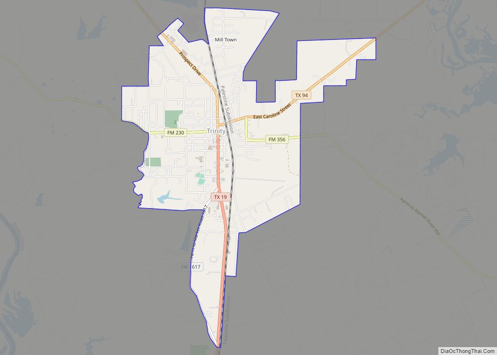
Trinity is a city in Trinity County, Texas, United States. The population was 2,343 at the 2020 census.
| Name: | Trinity city |
|---|---|
| LSAD Code: | 25 |
| LSAD Description: | city (suffix) |
| State: | Texas |
| County: | Trinity County |
| Elevation: | 233 ft (71 m) |
| Total Area: | 3.79 sq mi (9.82 km²) |
| Land Area: | 3.79 sq mi (9.82 km²) |
| Water Area: | 0.00 sq mi (0.00 km²) |
| Total Population: | 2,343 |
| Population Density: | 726.98/sq mi (280.68/km²) |
| ZIP code: | 75862 |
| Area code: | 936 |
| FIPS code: | 4873664 |
| GNISfeature ID: | 1370117 |
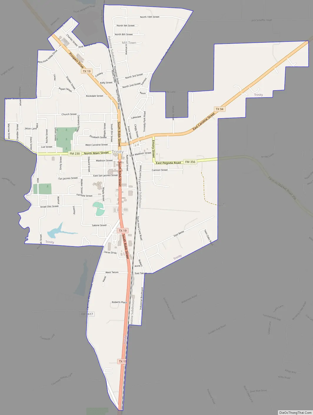
Online Interactive Map
Click on ![]() to view map in "full screen" mode.
to view map in "full screen" mode.
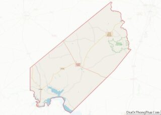
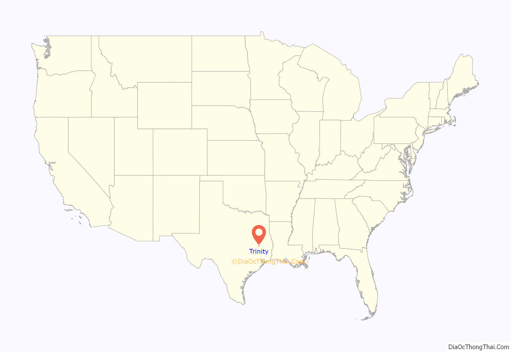
Trinity location map. Where is Trinity city?
History
Trinity was founded in 1872 on land purchased from the New York and Texas Land Company. The town was a railroad station on the Houston and Great Northern Railroad.
The town was originally named Trinity Station after the Trinity River. The name of the town was later changed to Trinity City, then to Trinity. The town was incorporated in 1910.
Civilian Conservation Corps
A camp site for Civilian Conservation Corps Company 839 was established 1.6 miles east of Trinity on June 8, 1933. The company was under the command of Captain Charles H Brammel and the medical department was under the direction of Dr H H Thornton. The field activities of the camp were mainly construction and maintenance of fire lanes, fire break roads and telephone lines.
Texas Long Leaf Lumber Company
In 1907, Thompson Brothers’ Lumber Company built a mill and 37 acre pond at Trinity. Texas Long Leaf Lumber Company, which started at Willard in 1912, bought Thompson Brothers’ Trinity mill in 1922. Under management of Paul Sanderson for 22 years, the company was one of the nation’s most successful manufacturers of Yellow Pine and Southern Hardwoods. During World War II, production reached 140,000 board feet daily, resulting in lumber flown to Europe and Africa and the awarding of the Army-Navy “E” Award in 1944. As one of the largest employers in Trinity, the closing of the mill in 1955 had a devastating impact on the local economy.
Hardin-Sublet Gunfight
On August 7, 1872, John Wesley Hardin and Phil Sublet got into a gambling dispute at John Gates’ Saloon. The saloon was a plank structure with a bar and a ten pin alley. After making peace, Sublet left the saloon and called out Hardin from the street south of the front door. Hardin appeared at that door and Sublet fired one shot at him. Hardin returned fire not intending to kill him. Distracted, Hardin was pulled into a middle door and Sublet wounded him with the other barrel of his shotgun. Hardin then went after him through the streets and into a dry goods store. After a pistol malfunction, Hardin fired again and hit Sublet in the shoulder. Too weak from his wounds, Hardin was unable to pursue him.
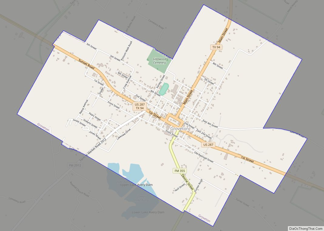
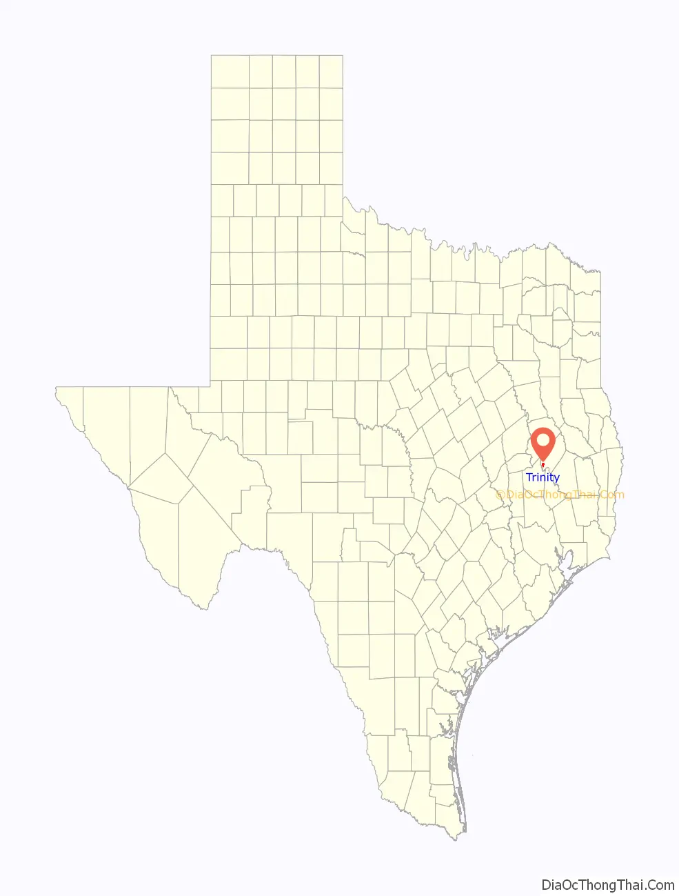
Trinity Road Map
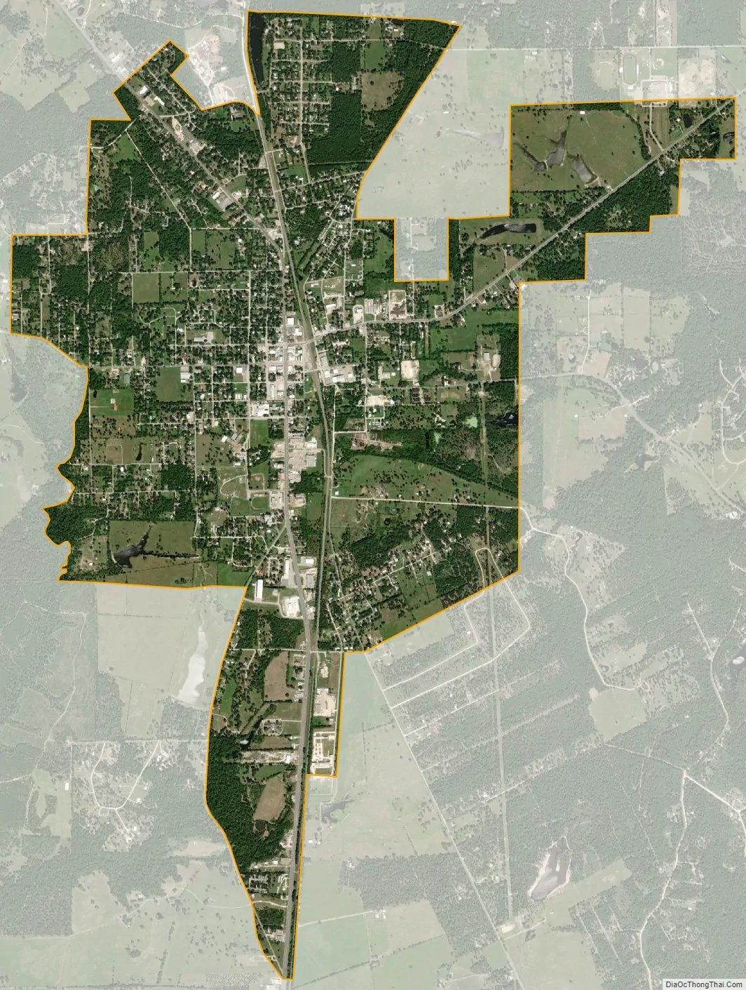
Trinity city Satellite Map
Geography
Trinity is located at 30°56′44″N 95°22′32″W / 30.94556°N 95.37556°W / 30.94556; -95.37556 (30.945495, –95.375599).
According to the United States Census Bureau, the city has a total area of 3.8 square miles (9.8 km), all of it land.
Trinity, 80 miles (130 km) north of Houston, has two stoplights. Mandy Oaklander of the Houston Press said that Trinity “is a speck of a town[…]”
Milltown, a community in the periphery, housed employees of the town lumber mill. It had 208 houses, with 156 for white lumber mill workers and 52 for the black ones.
See also
Map of Texas State and its subdivision:- Anderson
- Andrews
- Angelina
- Aransas
- Archer
- Armstrong
- Atascosa
- Austin
- Bailey
- Bandera
- Bastrop
- Baylor
- Bee
- Bell
- Bexar
- Blanco
- Borden
- Bosque
- Bowie
- Brazoria
- Brazos
- Brewster
- Briscoe
- Brooks
- Brown
- Burleson
- Burnet
- Caldwell
- Calhoun
- Callahan
- Cameron
- Camp
- Carson
- Cass
- Castro
- Chambers
- Cherokee
- Childress
- Clay
- Cochran
- Coke
- Coleman
- Collin
- Collingsworth
- Colorado
- Comal
- Comanche
- Concho
- Cooke
- Coryell
- Cottle
- Crane
- Crockett
- Crosby
- Culberson
- Dallam
- Dallas
- Dawson
- Deaf Smith
- Delta
- Denton
- Dewitt
- Dickens
- Dimmit
- Donley
- Duval
- Eastland
- Ector
- Edwards
- El Paso
- Ellis
- Erath
- Falls
- Fannin
- Fayette
- Fisher
- Floyd
- Foard
- Fort Bend
- Franklin
- Freestone
- Frio
- Gaines
- Galveston
- Garza
- Gillespie
- Glasscock
- Goliad
- Gonzales
- Gray
- Grayson
- Gregg
- Grimes
- Guadalupe
- Hale
- Hall
- Hamilton
- Hansford
- Hardeman
- Hardin
- Harris
- Harrison
- Hartley
- Haskell
- Hays
- Hemphill
- Henderson
- Hidalgo
- Hill
- Hockley
- Hood
- Hopkins
- Houston
- Howard
- Hudspeth
- Hunt
- Hutchinson
- Irion
- Jack
- Jackson
- Jasper
- Jeff Davis
- Jefferson
- Jim Hogg
- Jim Wells
- Johnson
- Jones
- Karnes
- Kaufman
- Kendall
- Kenedy
- Kent
- Kerr
- Kimble
- King
- Kinney
- Kleberg
- Knox
- La Salle
- Lamar
- Lamb
- Lampasas
- Lavaca
- Lee
- Leon
- Liberty
- Limestone
- Lipscomb
- Live Oak
- Llano
- Loving
- Lubbock
- Lynn
- Madison
- Marion
- Martin
- Mason
- Matagorda
- Maverick
- McCulloch
- McLennan
- McMullen
- Medina
- Menard
- Midland
- Milam
- Mills
- Mitchell
- Montague
- Montgomery
- Moore
- Morris
- Motley
- Nacogdoches
- Navarro
- Newton
- Nolan
- Nueces
- Ochiltree
- Oldham
- Orange
- Palo Pinto
- Panola
- Parker
- Parmer
- Pecos
- Polk
- Potter
- Presidio
- Rains
- Randall
- Reagan
- Real
- Red River
- Reeves
- Refugio
- Roberts
- Robertson
- Rockwall
- Runnels
- Rusk
- Sabine
- San Augustine
- San Jacinto
- San Patricio
- San Saba
- Schleicher
- Scurry
- Shackelford
- Shelby
- Sherman
- Smith
- Somervell
- Starr
- Stephens
- Sterling
- Stonewall
- Sutton
- Swisher
- Tarrant
- Taylor
- Terrell
- Terry
- Throckmorton
- Titus
- Tom Green
- Travis
- Trinity
- Tyler
- Upshur
- Upton
- Uvalde
- Val Verde
- Van Zandt
- Victoria
- Walker
- Waller
- Ward
- Washington
- Webb
- Wharton
- Wheeler
- Wichita
- Wilbarger
- Willacy
- Williamson
- Wilson
- Winkler
- Wise
- Wood
- Yoakum
- Young
- Zapata
- Zavala
- Alabama
- Alaska
- Arizona
- Arkansas
- California
- Colorado
- Connecticut
- Delaware
- District of Columbia
- Florida
- Georgia
- Hawaii
- Idaho
- Illinois
- Indiana
- Iowa
- Kansas
- Kentucky
- Louisiana
- Maine
- Maryland
- Massachusetts
- Michigan
- Minnesota
- Mississippi
- Missouri
- Montana
- Nebraska
- Nevada
- New Hampshire
- New Jersey
- New Mexico
- New York
- North Carolina
- North Dakota
- Ohio
- Oklahoma
- Oregon
- Pennsylvania
- Rhode Island
- South Carolina
- South Dakota
- Tennessee
- Texas
- Utah
- Vermont
- Virginia
- Washington
- West Virginia
- Wisconsin
- Wyoming