Vinton is a village in El Paso County, Texas, United States. The population was 1,971 at the 2010 census. It is part of the El Paso Metropolitan Statistical Area.
| Name: | Vinton village |
|---|---|
| LSAD Code: | 47 |
| LSAD Description: | village (suffix) |
| State: | Texas |
| County: | El Paso County |
| Incorporated: | 1961 |
| Elevation: | 3,796 ft (1,157 m) |
| Total Area: | 2.74 sq mi (7.10 km²) |
| Land Area: | 2.74 sq mi (7.10 km²) |
| Water Area: | 0.00 sq mi (0.00 km²) |
| Total Population: | 1,971 |
| Population Density: | 737.69/sq mi (284.79/km²) |
| ZIP code: | 79821 |
| Area code: | 915 |
| FIPS code: | 4875668 |
| GNISfeature ID: | 1370660 |
| Website: | www.vintontx.govoffice2.com |
Online Interactive Map
Click on ![]() to view map in "full screen" mode.
to view map in "full screen" mode.
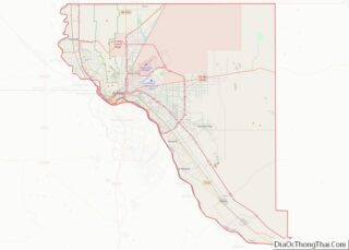
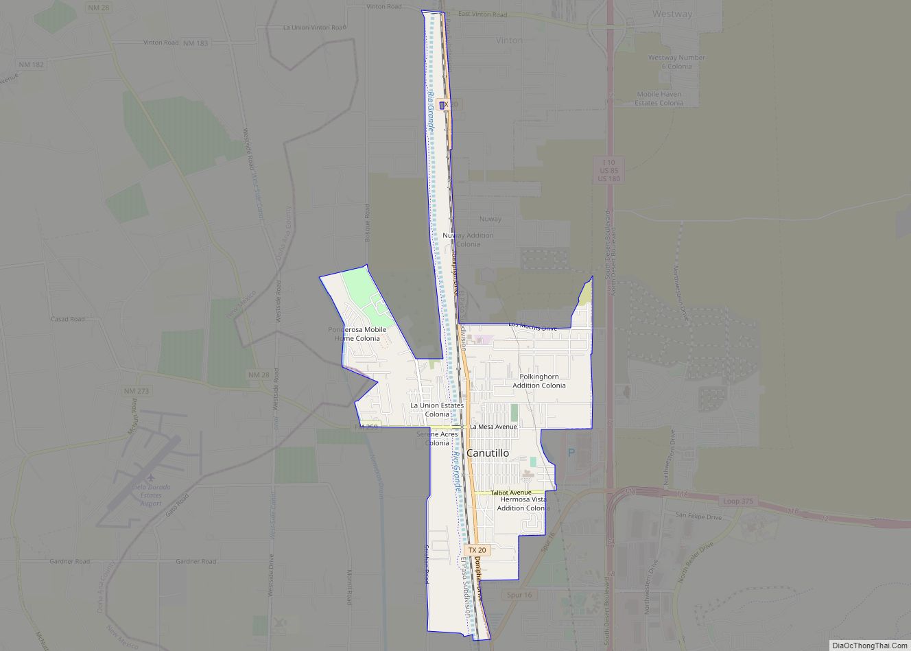
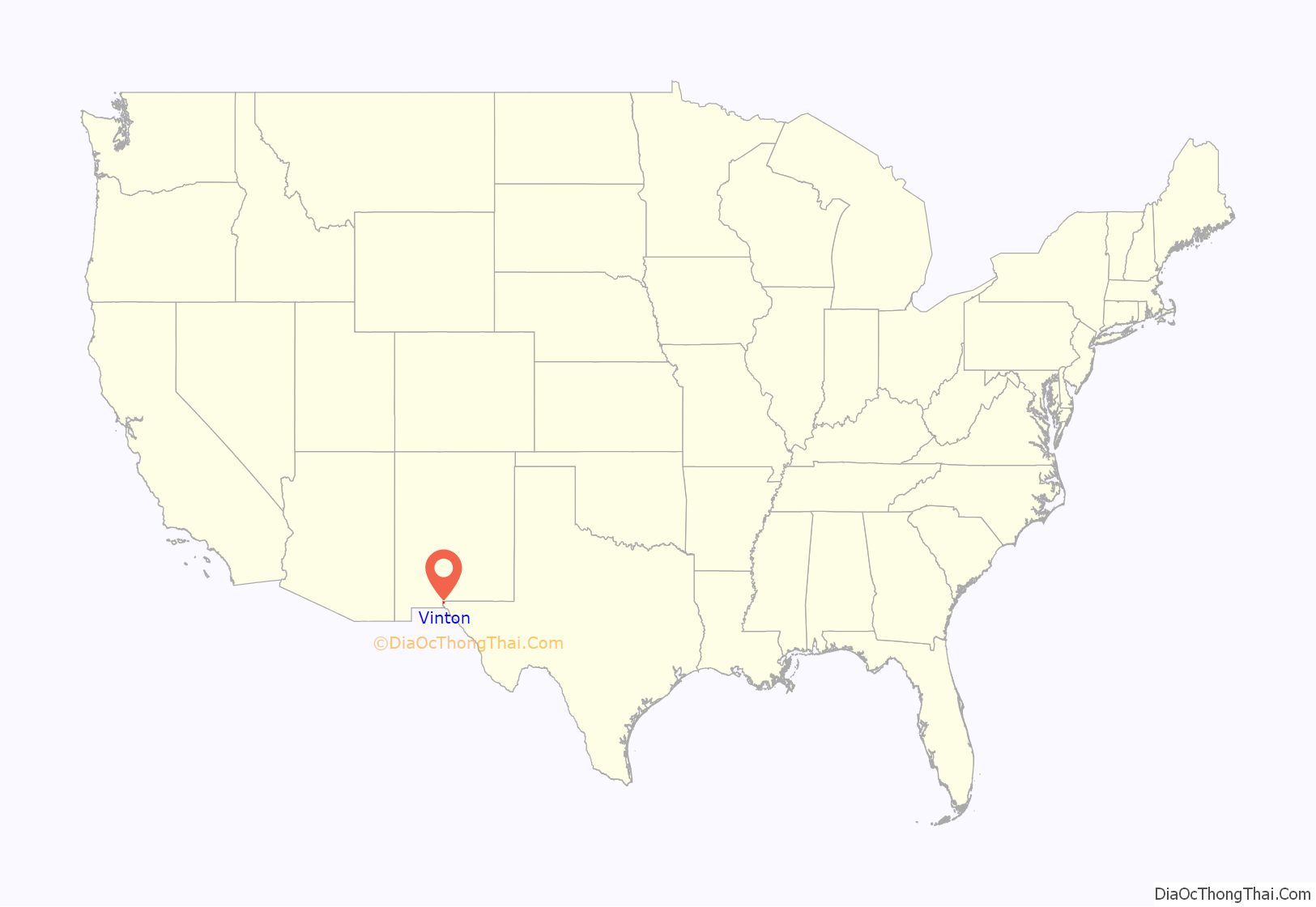
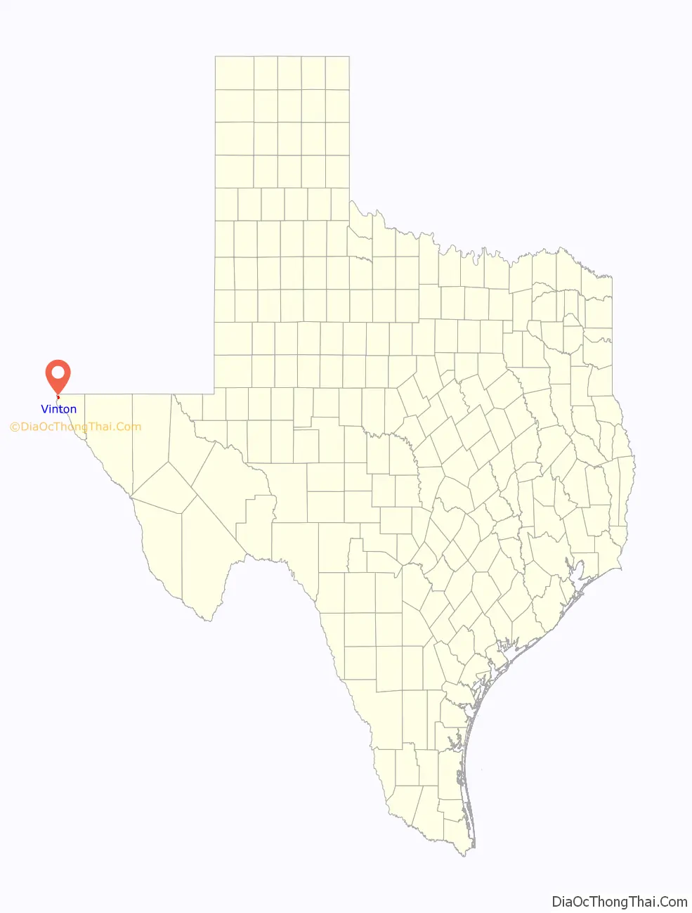
Vinton location map. Where is Vinton village?
History
Native Americans inhabited the site of Vinton before the arrival of the Spaniards, who made it a stopping place along the Camino Real, the road from El Paso to Santa Fe, which passed along the east bank of the Rio Grande through what is now Vinton. In Spanish and Mexican colonial times, it was known as La Salinera, from the salt cedars which grew there in abundance; when the area passed to the United States after the US-Mexican War, this water stop became known as Cottonwood, and was located in the northern part of Vinton along the river, 22 miles from El Paso. In 1857, it was used by the San Antonio-San Diego Mail Line and from 1858 to 1861 by the Butterfield Overland Mail, that had a stage station called Cottonwood Station, located 22 miles from El Paso and 25 miles from Fort Fillmore up river in New Mexico.
Vinton was named for Southern Pacific Railroad surveyor John C. Vinton, who laid the cross-country route for the railroad through the area in 1881, and was most likely established around that time. A post office was opened there in 1892, and the town grew slowly in the next 100 years, reaching 605 in 1990, then tripling in population in the following decade to 1892 in the 2000 census. The incorporation of Vinton as Village of Industry on August 8, 1961 originated with Border Steel Corporation, which opened a mill in town that year; now owned by Arcelor Mittal, it is still in operation.
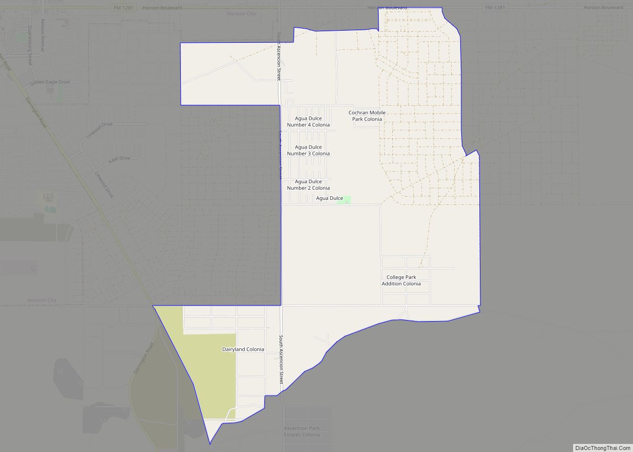
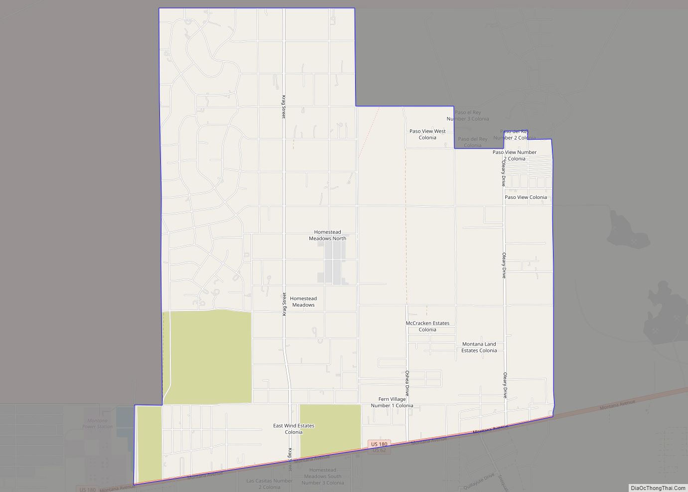
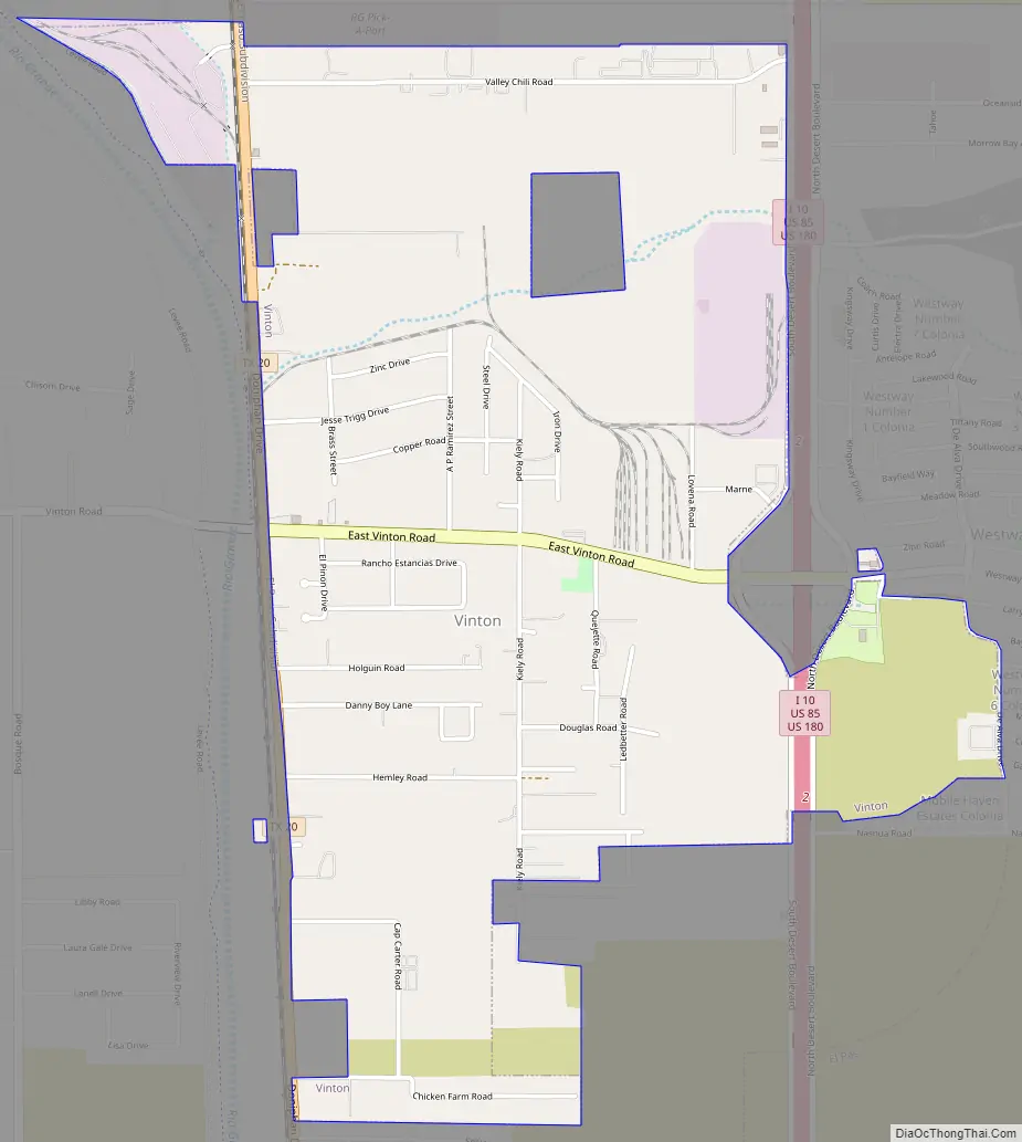
Vinton Road Map
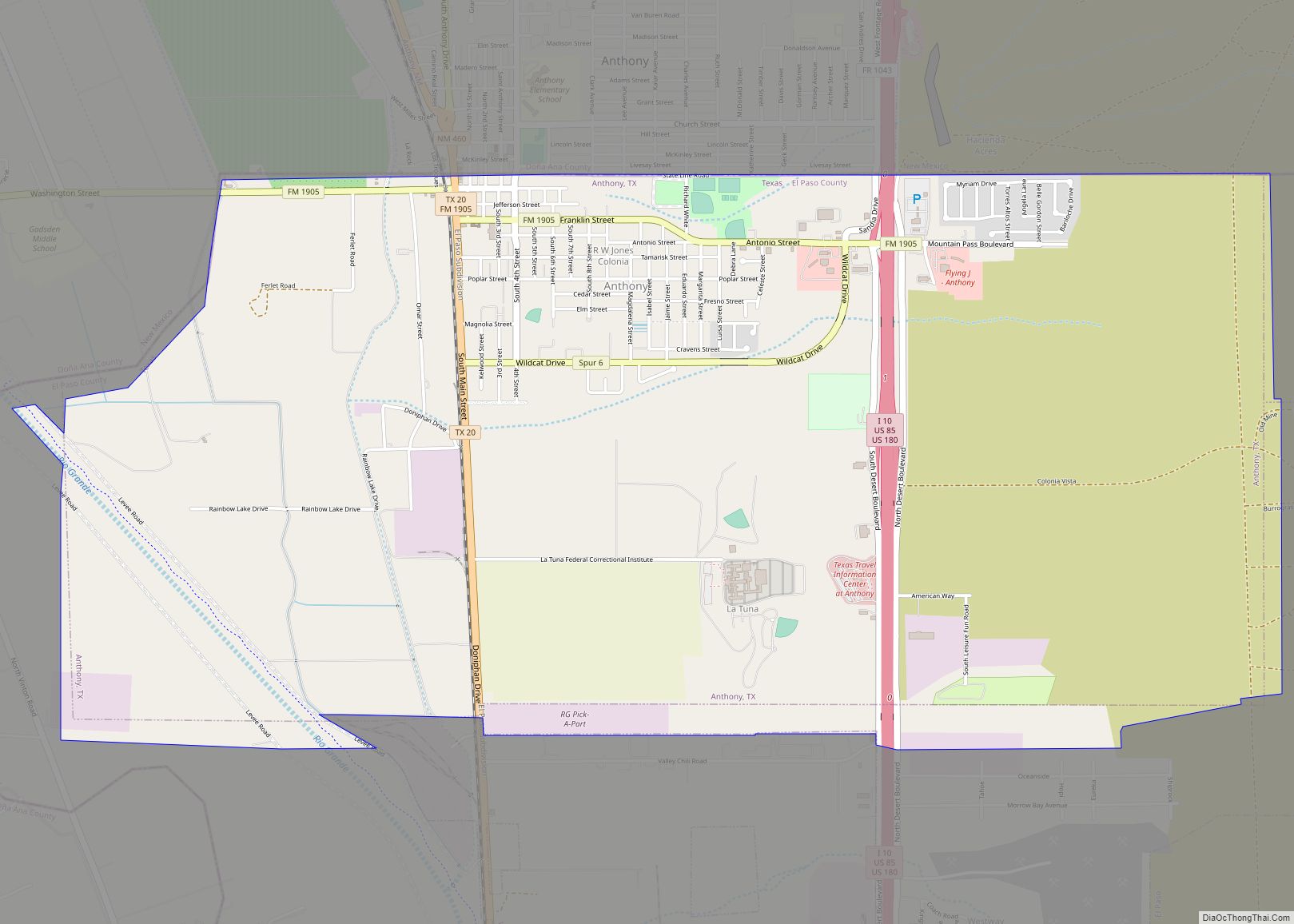
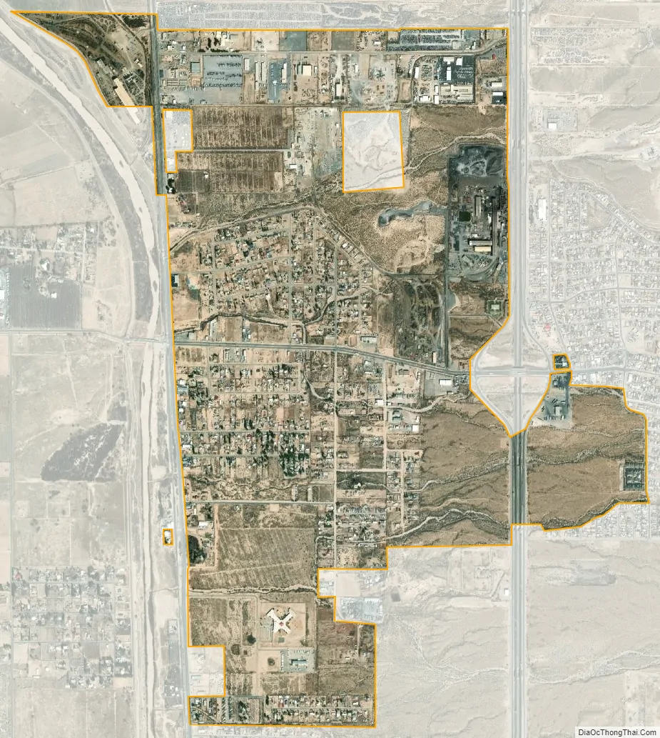
Vinton city Satellite Map
Geography
Vinton is located at 31°57′28″N 106°35′56″W / 31.95778°N 106.59889°W / 31.95778; -106.59889 (31.957659, –106.598817). According to the United States Census Bureau, the village has a total area of 2.4 square miles (6.2 km), all land.
See also
Map of Texas State and its subdivision:- Anderson
- Andrews
- Angelina
- Aransas
- Archer
- Armstrong
- Atascosa
- Austin
- Bailey
- Bandera
- Bastrop
- Baylor
- Bee
- Bell
- Bexar
- Blanco
- Borden
- Bosque
- Bowie
- Brazoria
- Brazos
- Brewster
- Briscoe
- Brooks
- Brown
- Burleson
- Burnet
- Caldwell
- Calhoun
- Callahan
- Cameron
- Camp
- Carson
- Cass
- Castro
- Chambers
- Cherokee
- Childress
- Clay
- Cochran
- Coke
- Coleman
- Collin
- Collingsworth
- Colorado
- Comal
- Comanche
- Concho
- Cooke
- Coryell
- Cottle
- Crane
- Crockett
- Crosby
- Culberson
- Dallam
- Dallas
- Dawson
- Deaf Smith
- Delta
- Denton
- Dewitt
- Dickens
- Dimmit
- Donley
- Duval
- Eastland
- Ector
- Edwards
- El Paso
- Ellis
- Erath
- Falls
- Fannin
- Fayette
- Fisher
- Floyd
- Foard
- Fort Bend
- Franklin
- Freestone
- Frio
- Gaines
- Galveston
- Garza
- Gillespie
- Glasscock
- Goliad
- Gonzales
- Gray
- Grayson
- Gregg
- Grimes
- Guadalupe
- Hale
- Hall
- Hamilton
- Hansford
- Hardeman
- Hardin
- Harris
- Harrison
- Hartley
- Haskell
- Hays
- Hemphill
- Henderson
- Hidalgo
- Hill
- Hockley
- Hood
- Hopkins
- Houston
- Howard
- Hudspeth
- Hunt
- Hutchinson
- Irion
- Jack
- Jackson
- Jasper
- Jeff Davis
- Jefferson
- Jim Hogg
- Jim Wells
- Johnson
- Jones
- Karnes
- Kaufman
- Kendall
- Kenedy
- Kent
- Kerr
- Kimble
- King
- Kinney
- Kleberg
- Knox
- La Salle
- Lamar
- Lamb
- Lampasas
- Lavaca
- Lee
- Leon
- Liberty
- Limestone
- Lipscomb
- Live Oak
- Llano
- Loving
- Lubbock
- Lynn
- Madison
- Marion
- Martin
- Mason
- Matagorda
- Maverick
- McCulloch
- McLennan
- McMullen
- Medina
- Menard
- Midland
- Milam
- Mills
- Mitchell
- Montague
- Montgomery
- Moore
- Morris
- Motley
- Nacogdoches
- Navarro
- Newton
- Nolan
- Nueces
- Ochiltree
- Oldham
- Orange
- Palo Pinto
- Panola
- Parker
- Parmer
- Pecos
- Polk
- Potter
- Presidio
- Rains
- Randall
- Reagan
- Real
- Red River
- Reeves
- Refugio
- Roberts
- Robertson
- Rockwall
- Runnels
- Rusk
- Sabine
- San Augustine
- San Jacinto
- San Patricio
- San Saba
- Schleicher
- Scurry
- Shackelford
- Shelby
- Sherman
- Smith
- Somervell
- Starr
- Stephens
- Sterling
- Stonewall
- Sutton
- Swisher
- Tarrant
- Taylor
- Terrell
- Terry
- Throckmorton
- Titus
- Tom Green
- Travis
- Trinity
- Tyler
- Upshur
- Upton
- Uvalde
- Val Verde
- Van Zandt
- Victoria
- Walker
- Waller
- Ward
- Washington
- Webb
- Wharton
- Wheeler
- Wichita
- Wilbarger
- Willacy
- Williamson
- Wilson
- Winkler
- Wise
- Wood
- Yoakum
- Young
- Zapata
- Zavala
- Alabama
- Alaska
- Arizona
- Arkansas
- California
- Colorado
- Connecticut
- Delaware
- District of Columbia
- Florida
- Georgia
- Hawaii
- Idaho
- Illinois
- Indiana
- Iowa
- Kansas
- Kentucky
- Louisiana
- Maine
- Maryland
- Massachusetts
- Michigan
- Minnesota
- Mississippi
- Missouri
- Montana
- Nebraska
- Nevada
- New Hampshire
- New Jersey
- New Mexico
- New York
- North Carolina
- North Dakota
- Ohio
- Oklahoma
- Oregon
- Pennsylvania
- Rhode Island
- South Carolina
- South Dakota
- Tennessee
- Texas
- Utah
- Vermont
- Virginia
- Washington
- West Virginia
- Wisconsin
- Wyoming