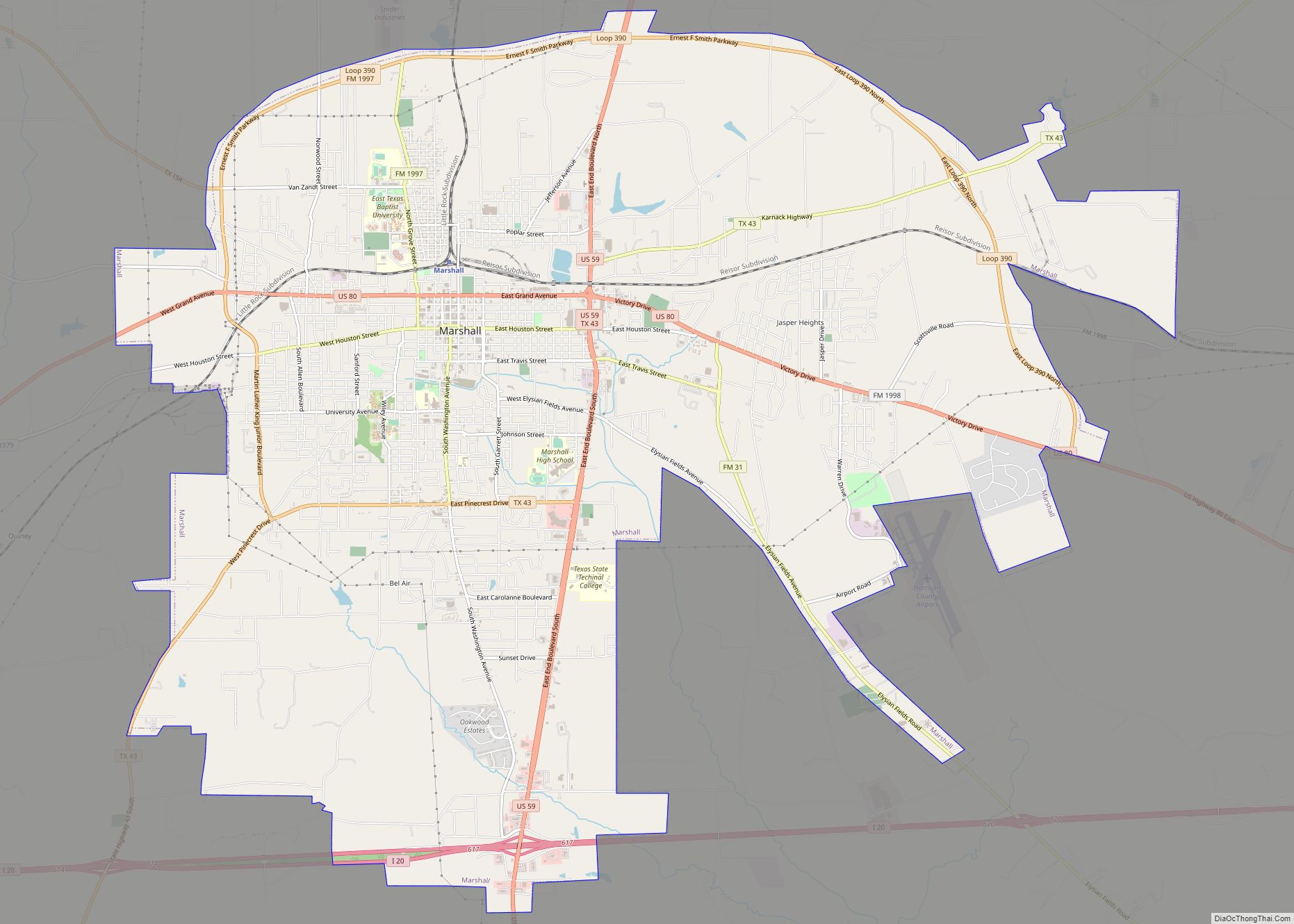
Waskom is a city in the U.S. state of Texas with a 2020 census-tabulated population of 1,910, down from 2,160 residents in 2010. It is located in Harrison County and lies approximately 19 miles (31 km) east of the county seat, Marshall, on U.S. Route 80 and Interstate 20. Waskom forms part of Greater Marshall, which is also included in the Longview–Marshall combined statistical area in the Ark-La-Tex region. To the east are the cities of Greenwood and Shreveport, Louisiana.
| Name: | Waskom city |
|---|---|
| LSAD Code: | 25 |
| LSAD Description: | city (suffix) |
| State: | Texas |
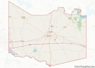
| County: | Harrison County |
| Elevation: | 285 ft (87 m) |
| Total Area: | 2.68 sq mi (6.94 km²) |
| Land Area: | 2.68 sq mi (6.94 km²) |
| Water Area: | 0.00 sq mi (0.00 km²) |
| Total Population: | 1,910 |
| Population Density: | 710/sq mi (280/km²) |
| ZIP code: | 75692 |
| Area code: | 903 |
| FIPS code: | 4876636 |
| GNISfeature ID: | 1349531 |
| Website: | cityofwaskom.com |
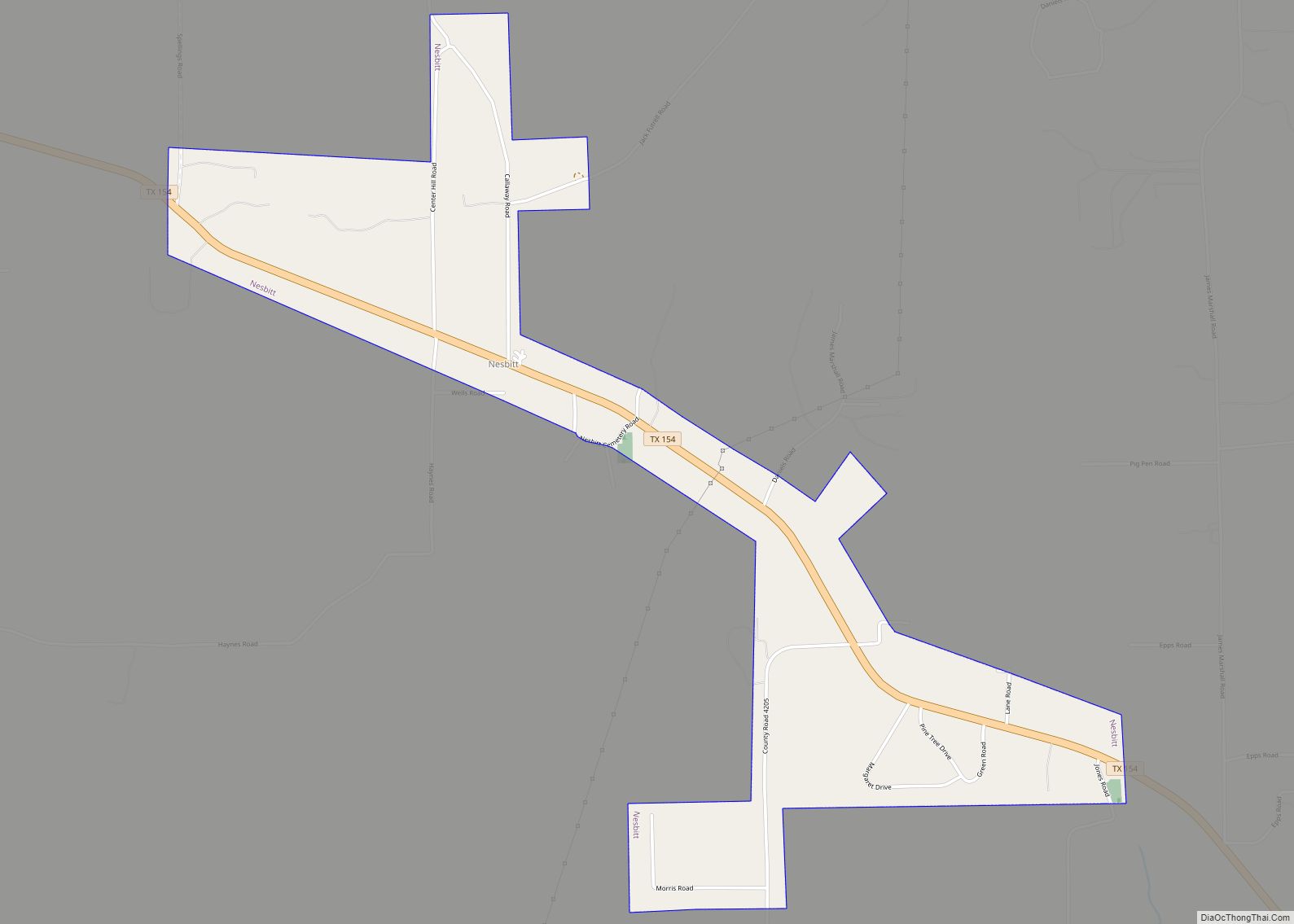
Online Interactive Map
Click on ![]() to view map in "full screen" mode.
to view map in "full screen" mode.
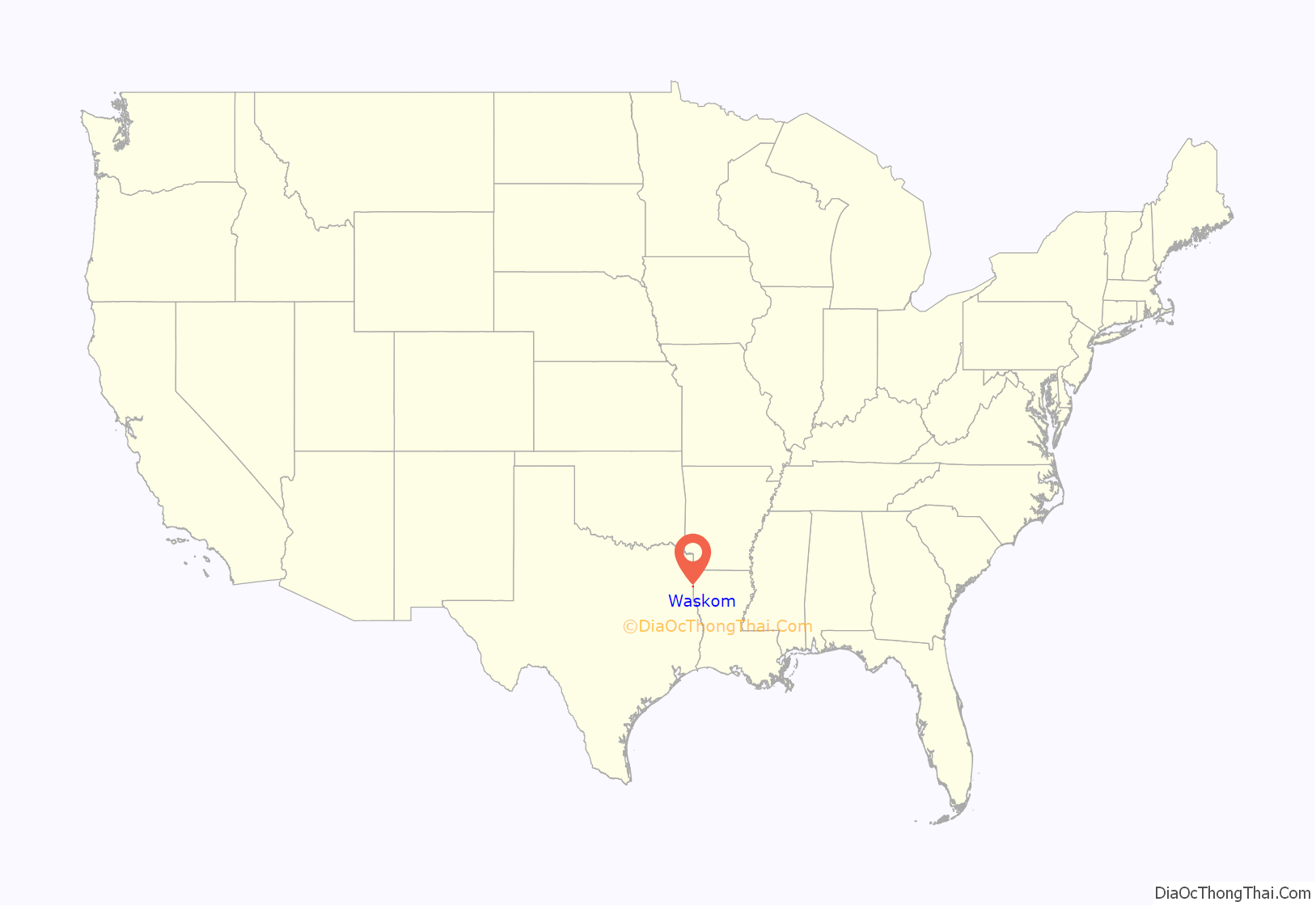
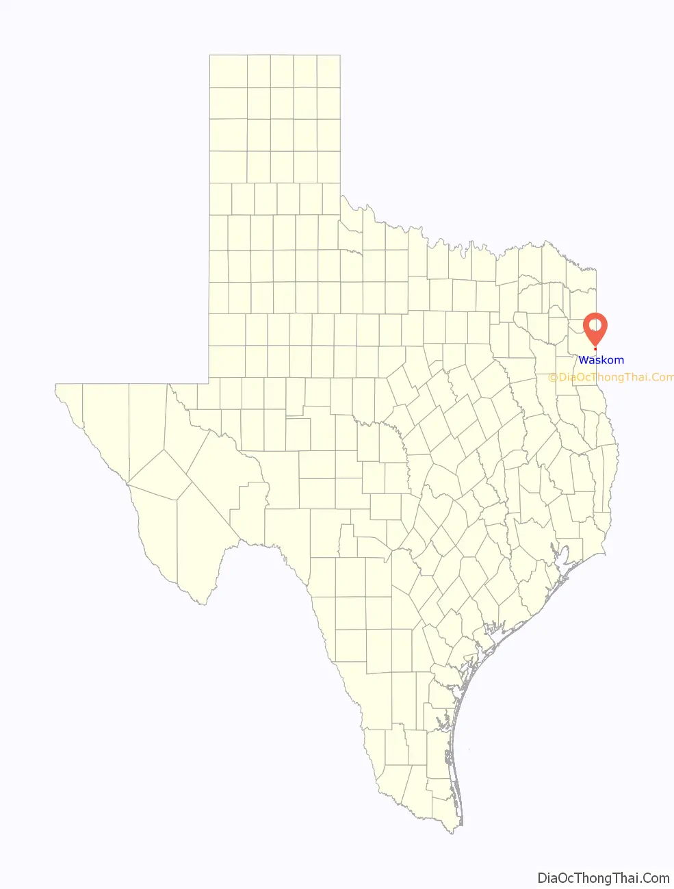
Waskom location map. Where is Waskom city?
History
The city of Waskom was established in 1850 as Powell Town, presumably for Jonathan S. Powell, who owned a land grant in the area. It was founded as a midway point for an east-west (Dallas to Shreveport) cattle and cotton economic trail to the Red River in Louisiana.
From 1850 to 1872 it had a post office as Powellton. In 1872, it became a main railroad station between Dallas, Texarkana, and Shreveport. The city’s named was changed to Waskom Station in 1872 and to Waskom in 1881 after J. M. Waskom, a director of the Southern Pacific Railroad.
In 2014 and 2015, Waskom High School won the 3A D2 state title in football.
In June 2019, the city council voted to outlaw abortion in the city, declaring Waskom a “sanctuary city for the unborn” (the first such city to designate itself as such), as state governments elsewhere in the United States also were drafting abortion bans. There is currently no abortion clinic in the city. The Waskom ordinance has led other small cities in Texas (and, as of April 2021, in Nebraska) to vote in favor of becoming “sanctuary cities for the unborn.” In May 2021, Lubbock became the largest Texas city to ban abortion following Waskom.
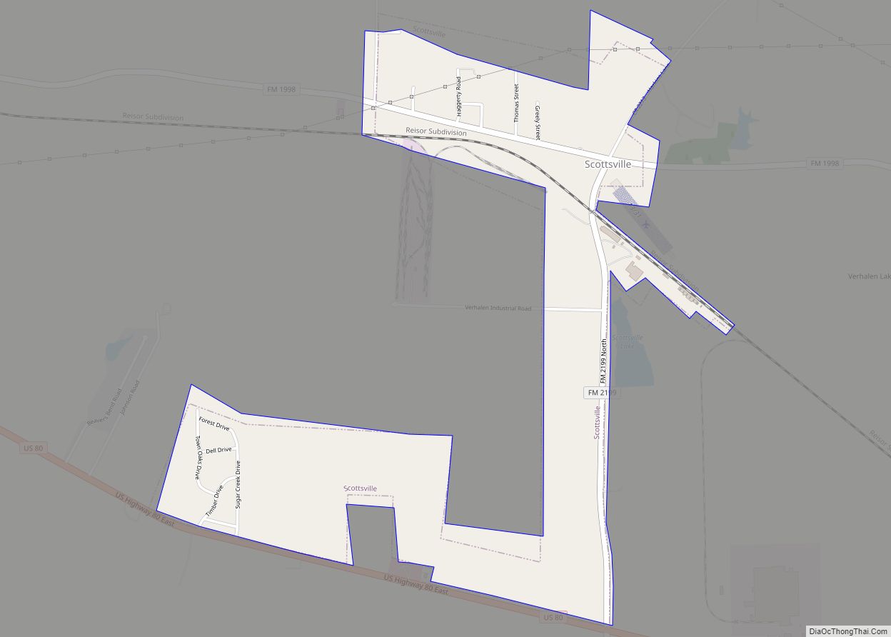
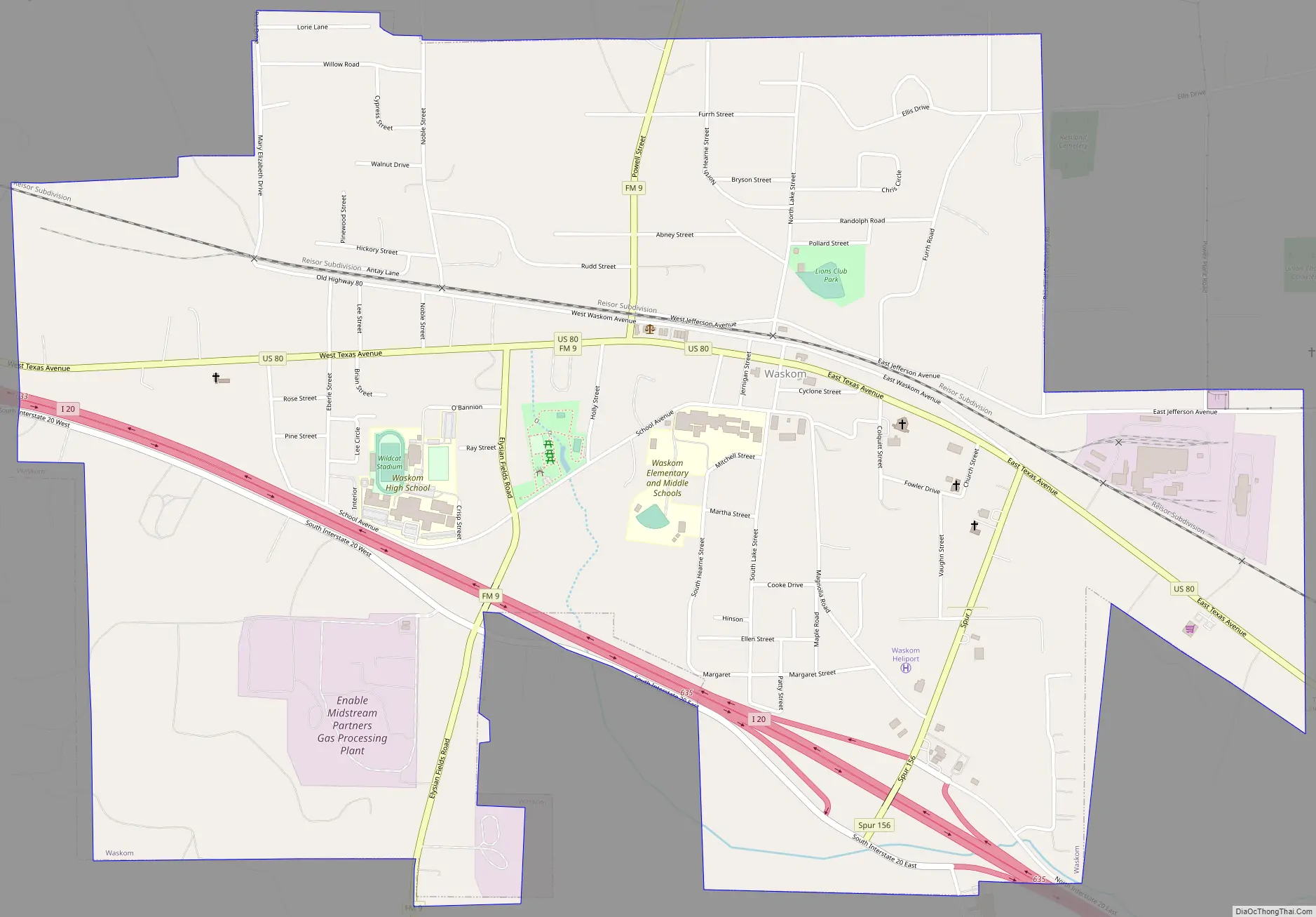
Waskom Road Map
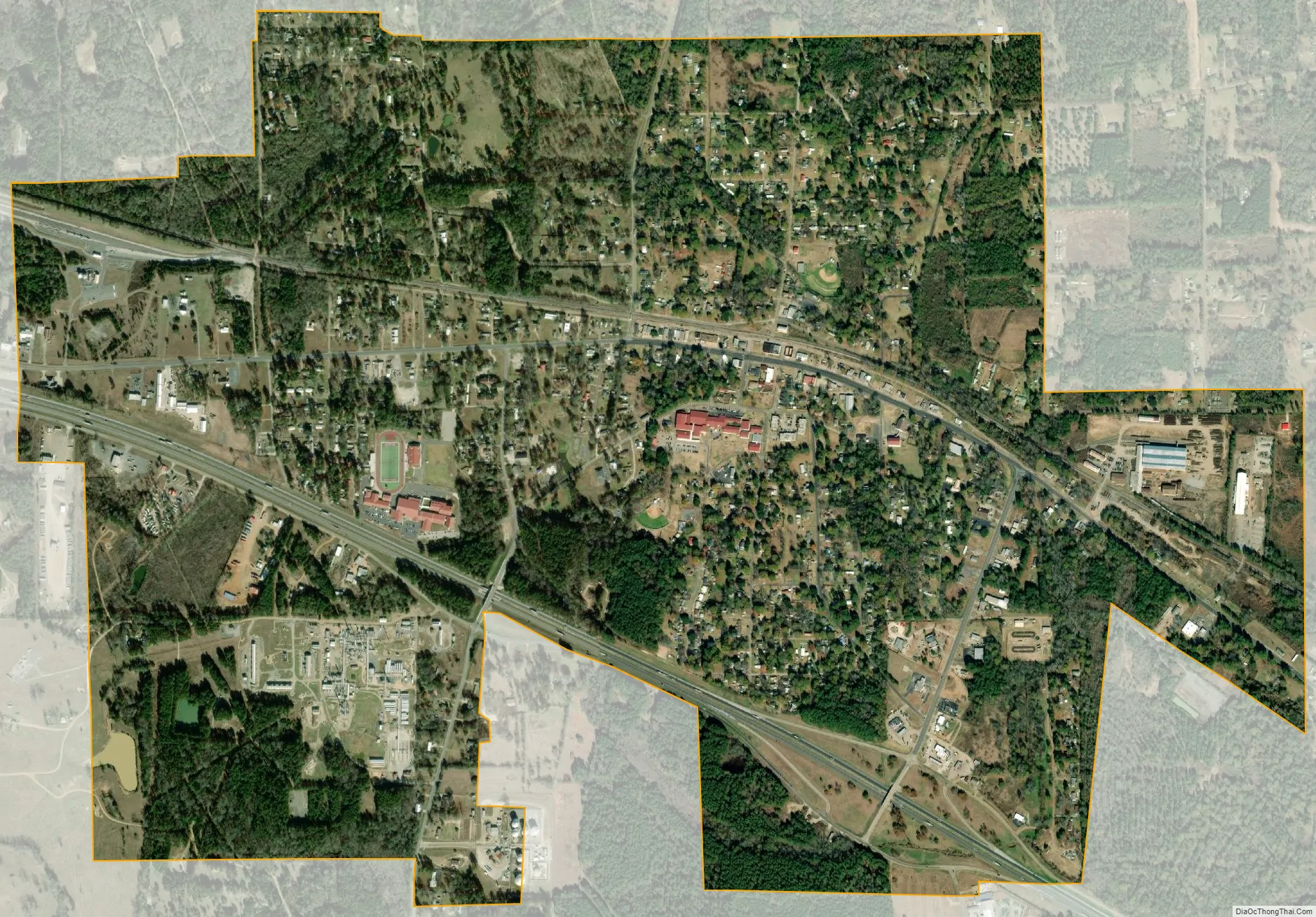
Waskom city Satellite Map
Geography
Waskom is located in eastern Harrison County at 32°28′42″N 94°3′50″W / 32.47833°N 94.06389°W / 32.47833; -94.06389 (32.478416, –94.063769). The eastern border of the city is the Texas–Louisiana border. Interstate 20 provides access to the city from Exit 633 on the west side and Exit 635 to the south. Interstate 20 leads east 20 miles (32 km) to Shreveport and west 166 miles (267 km) to Dallas.
According to the United States Census Bureau, the city has a total area of 2.7 square miles (6.9 km), all land. The city drains to the north towards Paw Paw Bayou and to the south towards tributaries of Cross Bayou. Both bayous run east to Cross Lake, which flows out to the Red River in Shreveport.
See also
Map of Texas State and its subdivision:- Anderson
- Andrews
- Angelina
- Aransas
- Archer
- Armstrong
- Atascosa
- Austin
- Bailey
- Bandera
- Bastrop
- Baylor
- Bee
- Bell
- Bexar
- Blanco
- Borden
- Bosque
- Bowie
- Brazoria
- Brazos
- Brewster
- Briscoe
- Brooks
- Brown
- Burleson
- Burnet
- Caldwell
- Calhoun
- Callahan
- Cameron
- Camp
- Carson
- Cass
- Castro
- Chambers
- Cherokee
- Childress
- Clay
- Cochran
- Coke
- Coleman
- Collin
- Collingsworth
- Colorado
- Comal
- Comanche
- Concho
- Cooke
- Coryell
- Cottle
- Crane
- Crockett
- Crosby
- Culberson
- Dallam
- Dallas
- Dawson
- Deaf Smith
- Delta
- Denton
- Dewitt
- Dickens
- Dimmit
- Donley
- Duval
- Eastland
- Ector
- Edwards
- El Paso
- Ellis
- Erath
- Falls
- Fannin
- Fayette
- Fisher
- Floyd
- Foard
- Fort Bend
- Franklin
- Freestone
- Frio
- Gaines
- Galveston
- Garza
- Gillespie
- Glasscock
- Goliad
- Gonzales
- Gray
- Grayson
- Gregg
- Grimes
- Guadalupe
- Hale
- Hall
- Hamilton
- Hansford
- Hardeman
- Hardin
- Harris
- Harrison
- Hartley
- Haskell
- Hays
- Hemphill
- Henderson
- Hidalgo
- Hill
- Hockley
- Hood
- Hopkins
- Houston
- Howard
- Hudspeth
- Hunt
- Hutchinson
- Irion
- Jack
- Jackson
- Jasper
- Jeff Davis
- Jefferson
- Jim Hogg
- Jim Wells
- Johnson
- Jones
- Karnes
- Kaufman
- Kendall
- Kenedy
- Kent
- Kerr
- Kimble
- King
- Kinney
- Kleberg
- Knox
- La Salle
- Lamar
- Lamb
- Lampasas
- Lavaca
- Lee
- Leon
- Liberty
- Limestone
- Lipscomb
- Live Oak
- Llano
- Loving
- Lubbock
- Lynn
- Madison
- Marion
- Martin
- Mason
- Matagorda
- Maverick
- McCulloch
- McLennan
- McMullen
- Medina
- Menard
- Midland
- Milam
- Mills
- Mitchell
- Montague
- Montgomery
- Moore
- Morris
- Motley
- Nacogdoches
- Navarro
- Newton
- Nolan
- Nueces
- Ochiltree
- Oldham
- Orange
- Palo Pinto
- Panola
- Parker
- Parmer
- Pecos
- Polk
- Potter
- Presidio
- Rains
- Randall
- Reagan
- Real
- Red River
- Reeves
- Refugio
- Roberts
- Robertson
- Rockwall
- Runnels
- Rusk
- Sabine
- San Augustine
- San Jacinto
- San Patricio
- San Saba
- Schleicher
- Scurry
- Shackelford
- Shelby
- Sherman
- Smith
- Somervell
- Starr
- Stephens
- Sterling
- Stonewall
- Sutton
- Swisher
- Tarrant
- Taylor
- Terrell
- Terry
- Throckmorton
- Titus
- Tom Green
- Travis
- Trinity
- Tyler
- Upshur
- Upton
- Uvalde
- Val Verde
- Van Zandt
- Victoria
- Walker
- Waller
- Ward
- Washington
- Webb
- Wharton
- Wheeler
- Wichita
- Wilbarger
- Willacy
- Williamson
- Wilson
- Winkler
- Wise
- Wood
- Yoakum
- Young
- Zapata
- Zavala
- Alabama
- Alaska
- Arizona
- Arkansas
- California
- Colorado
- Connecticut
- Delaware
- District of Columbia
- Florida
- Georgia
- Hawaii
- Idaho
- Illinois
- Indiana
- Iowa
- Kansas
- Kentucky
- Louisiana
- Maine
- Maryland
- Massachusetts
- Michigan
- Minnesota
- Mississippi
- Missouri
- Montana
- Nebraska
- Nevada
- New Hampshire
- New Jersey
- New Mexico
- New York
- North Carolina
- North Dakota
- Ohio
- Oklahoma
- Oregon
- Pennsylvania
- Rhode Island
- South Carolina
- South Dakota
- Tennessee
- Texas
- Utah
- Vermont
- Virginia
- Washington
- West Virginia
- Wisconsin
- Wyoming