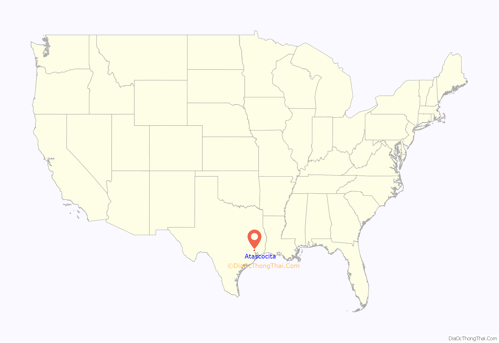
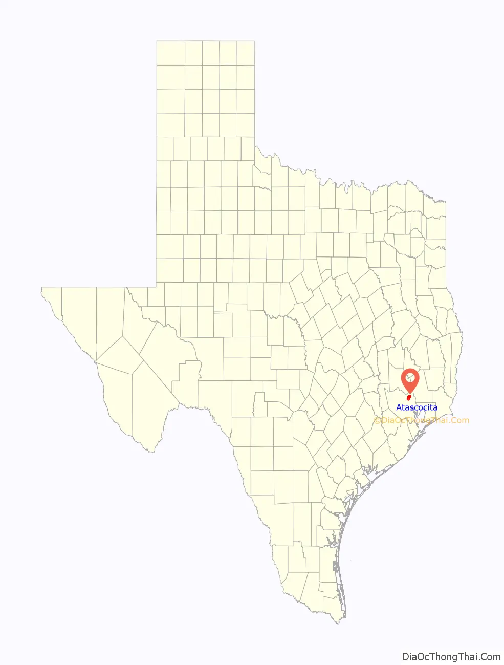
Atascocita is a census-designated place (CDP) in Harris County, Texas, United States, within the Houston metropolitan area. As of the 2020 census it had a population of 88,174. It is located north and south of Farm to Market Road 1960 about 6 miles (10 km) east of Humble and 18 miles (29 km) northeast of downtown Houston in northeastern Harris County.
| Name: | Atascocita CDP |
|---|---|
| LSAD Code: | 57 |
| LSAD Description: | CDP (suffix) |
| State: | Texas |
| County: | Harris County |
| Elevation: | 72 ft (22 m) |
| Total Area: | 25.4 sq mi (65.8 km²) |
| Land Area: | 25.3 sq mi (65.4 km²) |
| Water Area: | 0.2 sq mi (0.5 km²) |
| Total Population: | 88,174 |
| Population Density: | 2,599/sq mi (1,003.3/km²) |
| ZIP code: | 77346 |
| Area code: | 281 |
| FIPS code: | 4804462 |
| GNISfeature ID: | 1877179 |
| Website: | www.atascocita.com |
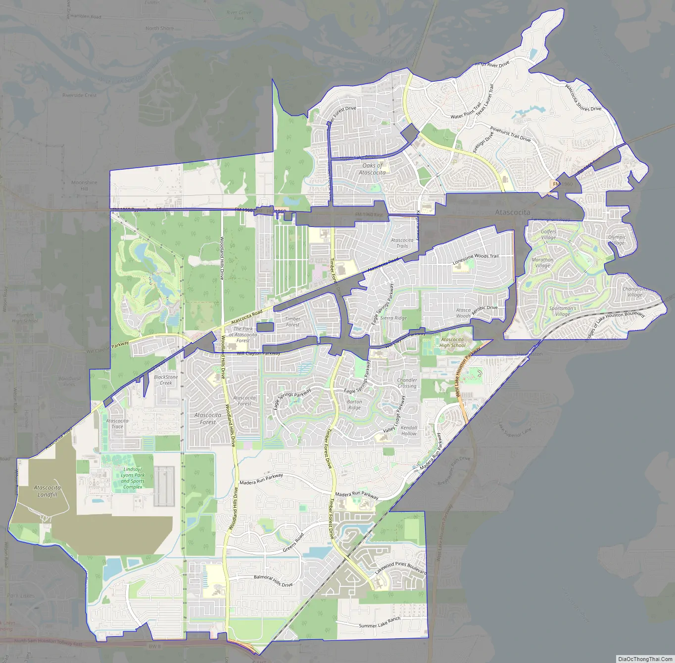
Online Interactive Map
Click on ![]() to view map in "full screen" mode.
to view map in "full screen" mode.
Atascocita location map. Where is Atascocita CDP?
History
Atascocita’s name derives from the Atascocito military outpost and subsequent road constructed by the Spanish in 1756. The Atascocito Road stretched from Spanish Louisiana in the east to San Antonio in the west, connecting eastern Texas to the rest of New Spain. The Atascocito Road was a major route for American migrants moving to Texas in the 1820s and 1830s. It is unclear exactly when Atascocito shifted to Atascocita.
The City of Houston annexed portions of what would become Atascocita in the 1960s, but it was de-annexed in the late 1970s.
Construction in the area began in the 1970s. In the 1990s Atascocita included fifteen neighborhoods and was one of the fastest-growing developments in the Greater Houston area.
In 2009 the Gadberry Group named Atascocita as one of “9 from 2009” most notable high growth areas in the United States. The 2010 census listed Atascocita’s population as 65,844, up from 35,757 at the 2000 census.
Atascocita has two community newspapers, The Tribune Newspaper and The Atascocita Observer.
Atascocita Road Map
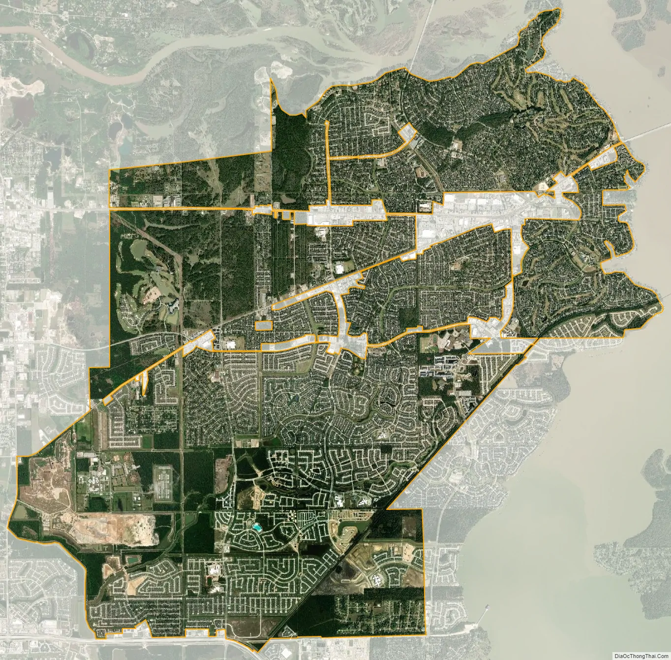
Atascocita city Satellite Map
Geography
Atascocita is located at 29°59′36″N 95°10′55″W / 29.99333°N 95.18194°W / 29.99333; -95.18194 (29.993365, -95.182054).
According to the United States Census Bureau, the CDP has a total area of 25.4 square miles (65.8 km), of which 25.3 square miles (65.4 km) is land and 0.19 square miles (0.5 km), or 0.74%, is water.
Syd Kearney, author of A Marmac Guide to Houston and Galveston, “There are fine resort homes in sections such as Atascocita Shores.”
See also
Map of Texas State and its subdivision:- Anderson
- Andrews
- Angelina
- Aransas
- Archer
- Armstrong
- Atascosa
- Austin
- Bailey
- Bandera
- Bastrop
- Baylor
- Bee
- Bell
- Bexar
- Blanco
- Borden
- Bosque
- Bowie
- Brazoria
- Brazos
- Brewster
- Briscoe
- Brooks
- Brown
- Burleson
- Burnet
- Caldwell
- Calhoun
- Callahan
- Cameron
- Camp
- Carson
- Cass
- Castro
- Chambers
- Cherokee
- Childress
- Clay
- Cochran
- Coke
- Coleman
- Collin
- Collingsworth
- Colorado
- Comal
- Comanche
- Concho
- Cooke
- Coryell
- Cottle
- Crane
- Crockett
- Crosby
- Culberson
- Dallam
- Dallas
- Dawson
- Deaf Smith
- Delta
- Denton
- Dewitt
- Dickens
- Dimmit
- Donley
- Duval
- Eastland
- Ector
- Edwards
- El Paso
- Ellis
- Erath
- Falls
- Fannin
- Fayette
- Fisher
- Floyd
- Foard
- Fort Bend
- Franklin
- Freestone
- Frio
- Gaines
- Galveston
- Garza
- Gillespie
- Glasscock
- Goliad
- Gonzales
- Gray
- Grayson
- Gregg
- Grimes
- Guadalupe
- Hale
- Hall
- Hamilton
- Hansford
- Hardeman
- Hardin
- Harris
- Harrison
- Hartley
- Haskell
- Hays
- Hemphill
- Henderson
- Hidalgo
- Hill
- Hockley
- Hood
- Hopkins
- Houston
- Howard
- Hudspeth
- Hunt
- Hutchinson
- Irion
- Jack
- Jackson
- Jasper
- Jeff Davis
- Jefferson
- Jim Hogg
- Jim Wells
- Johnson
- Jones
- Karnes
- Kaufman
- Kendall
- Kenedy
- Kent
- Kerr
- Kimble
- King
- Kinney
- Kleberg
- Knox
- La Salle
- Lamar
- Lamb
- Lampasas
- Lavaca
- Lee
- Leon
- Liberty
- Limestone
- Lipscomb
- Live Oak
- Llano
- Loving
- Lubbock
- Lynn
- Madison
- Marion
- Martin
- Mason
- Matagorda
- Maverick
- McCulloch
- McLennan
- McMullen
- Medina
- Menard
- Midland
- Milam
- Mills
- Mitchell
- Montague
- Montgomery
- Moore
- Morris
- Motley
- Nacogdoches
- Navarro
- Newton
- Nolan
- Nueces
- Ochiltree
- Oldham
- Orange
- Palo Pinto
- Panola
- Parker
- Parmer
- Pecos
- Polk
- Potter
- Presidio
- Rains
- Randall
- Reagan
- Real
- Red River
- Reeves
- Refugio
- Roberts
- Robertson
- Rockwall
- Runnels
- Rusk
- Sabine
- San Augustine
- San Jacinto
- San Patricio
- San Saba
- Schleicher
- Scurry
- Shackelford
- Shelby
- Sherman
- Smith
- Somervell
- Starr
- Stephens
- Sterling
- Stonewall
- Sutton
- Swisher
- Tarrant
- Taylor
- Terrell
- Terry
- Throckmorton
- Titus
- Tom Green
- Travis
- Trinity
- Tyler
- Upshur
- Upton
- Uvalde
- Val Verde
- Van Zandt
- Victoria
- Walker
- Waller
- Ward
- Washington
- Webb
- Wharton
- Wheeler
- Wichita
- Wilbarger
- Willacy
- Williamson
- Wilson
- Winkler
- Wise
- Wood
- Yoakum
- Young
- Zapata
- Zavala
- Alabama
- Alaska
- Arizona
- Arkansas
- California
- Colorado
- Connecticut
- Delaware
- District of Columbia
- Florida
- Georgia
- Hawaii
- Idaho
- Illinois
- Indiana
- Iowa
- Kansas
- Kentucky
- Louisiana
- Maine
- Maryland
- Massachusetts
- Michigan
- Minnesota
- Mississippi
- Missouri
- Montana
- Nebraska
- Nevada
- New Hampshire
- New Jersey
- New Mexico
- New York
- North Carolina
- North Dakota
- Ohio
- Oklahoma
- Oregon
- Pennsylvania
- Rhode Island
- South Carolina
- South Dakota
- Tennessee
- Texas
- Utah
- Vermont
- Virginia
- Washington
- West Virginia
- Wisconsin
- Wyoming


