Barrett, also named Barrett Station, is an unincorporated community and census-designated place (CDP) in Harris County, Texas, United States. The population was 5,223 at the 2020 census. It was founded in 1889 by Harrison Barrett, a former slave.
| Name: | Barrett CDP |
|---|---|
| LSAD Code: | 57 |
| LSAD Description: | CDP (suffix) |
| State: | Texas |
| County: | Harris County |
| Elevation: | 43 ft (13 m) |
| Total Area: | 6.62 sq mi (17.14 km²) |
| Land Area: | 6.39 sq mi (16.55 km²) |
| Water Area: | 0.23 sq mi (0.59 km²) |
| Total Population: | 5,223 |
| Population Density: | 501/sq mi (193.3/km²) |
| ZIP code: | 77532 |
| Area code: | 281 |
| FIPS code: | 4805696 |
| GNISfeature ID: | 1372401 |
Online Interactive Map
Click on ![]() to view map in "full screen" mode.
to view map in "full screen" mode.
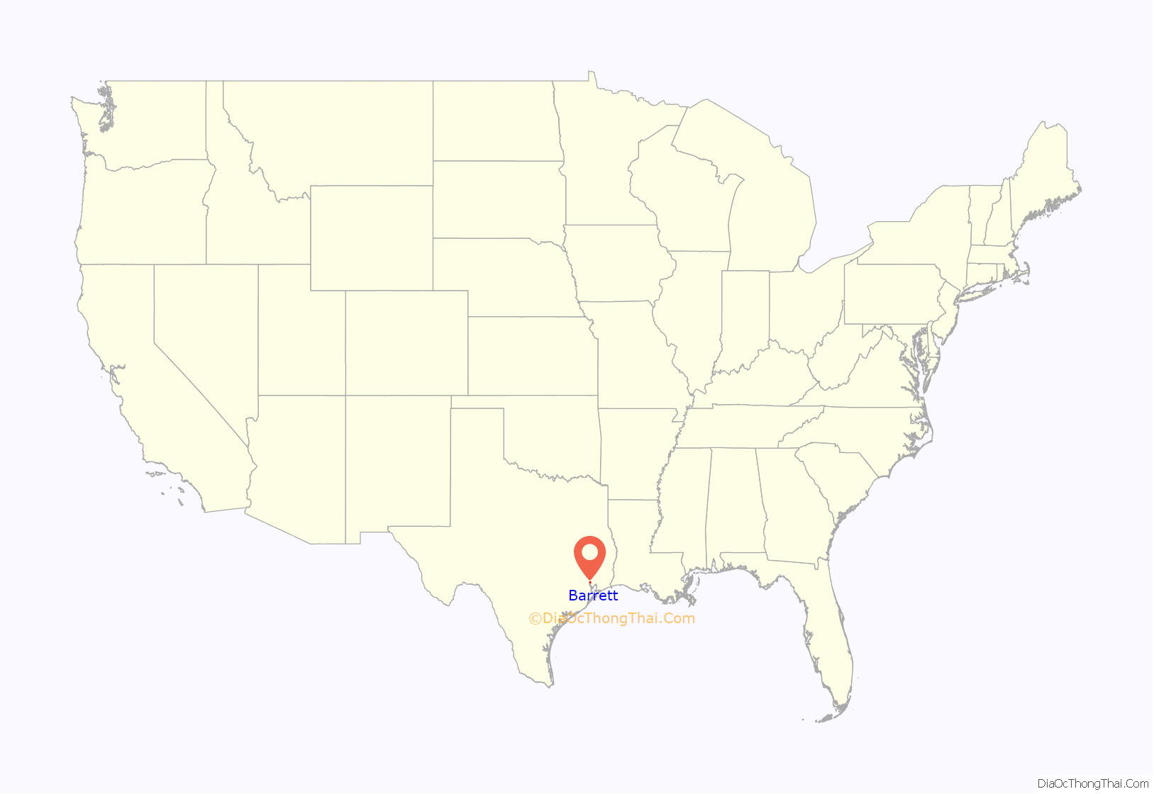
Barrett location map. Where is Barrett CDP?
History
Located south of Crosby, Texas and the present-day Highway 90, Barrett’s Settlement was founded by Harrison Barrett (1845–1917) and has been registered in the Texas Family Land Heritage as Texas Century Farm.
Born into slavery, Barrett was the son of Simon and Lisa Barrett who came to Texas from Louisiana. Following the emancipation of Texas slaves in 1865, Barrett spent several years gathering his family together. He eventually found all of them except one sister, and they settled on land east of the San Jacinto River. He purchased this land in 1889 and began a community that later would be known as Barrett’s Settlement. Beginning with seven houses, the community grew to include additional homes, farms, and businesses. Barrett established a school, church, and cemetery. After a post office station was opened there in 1947, the area became known as Barrett Station. Harrison Barrett’s homestead, twice rebuilt by his descendants, stands on its original location.
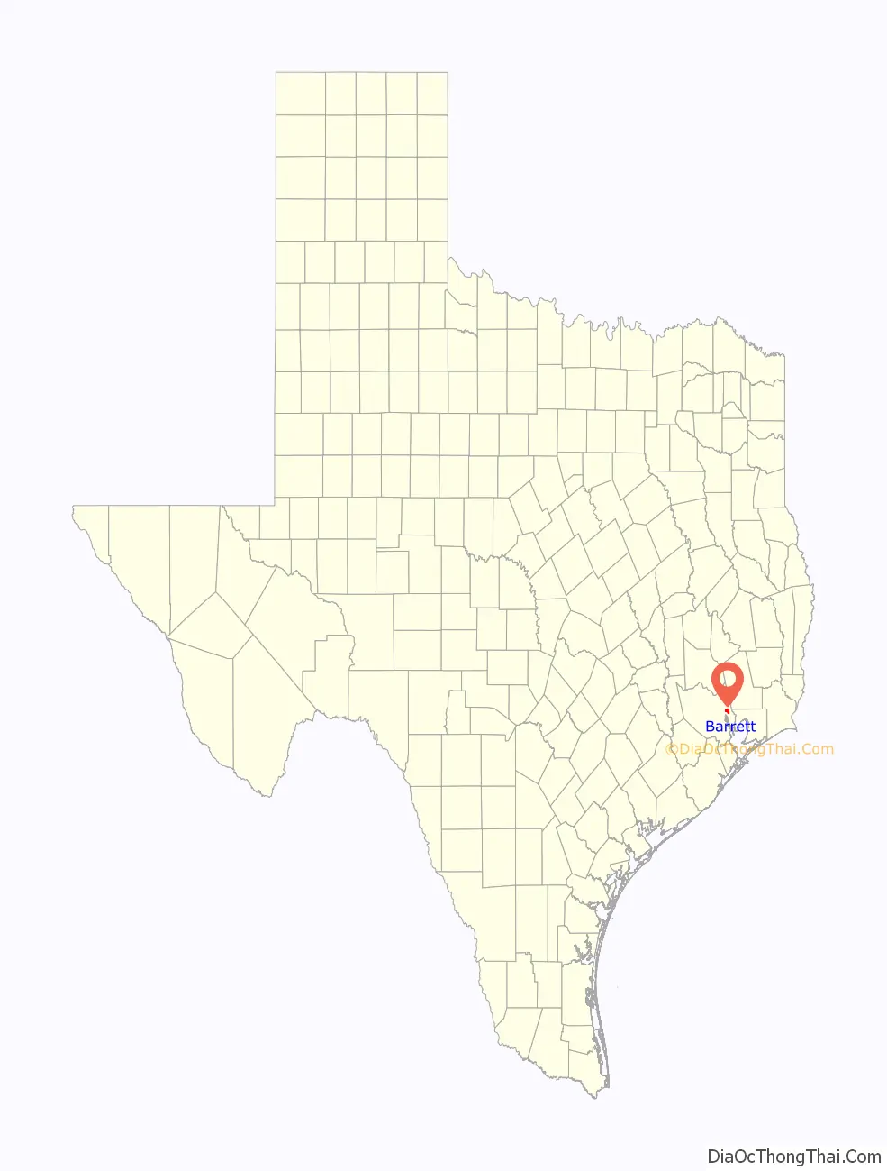
Barrett Road Map
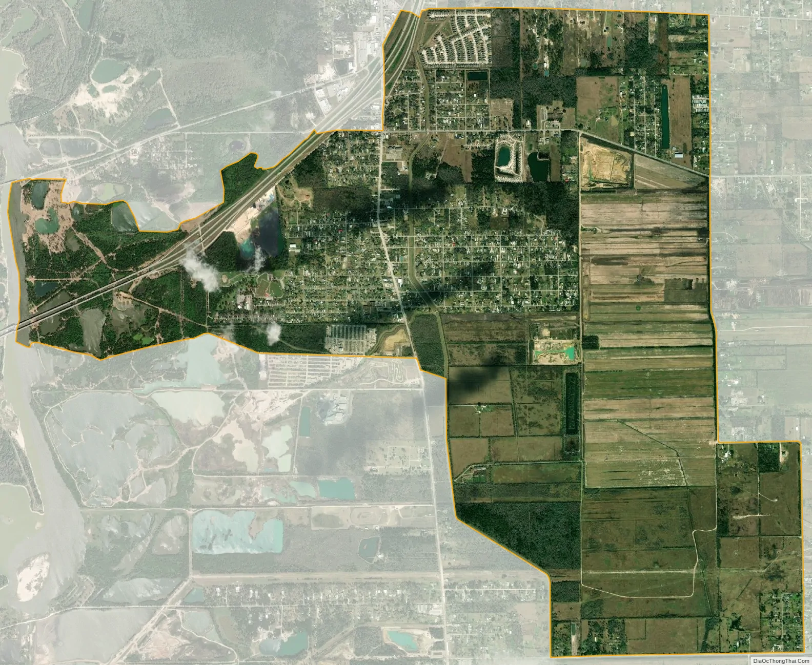
Barrett city Satellite Map
Geography
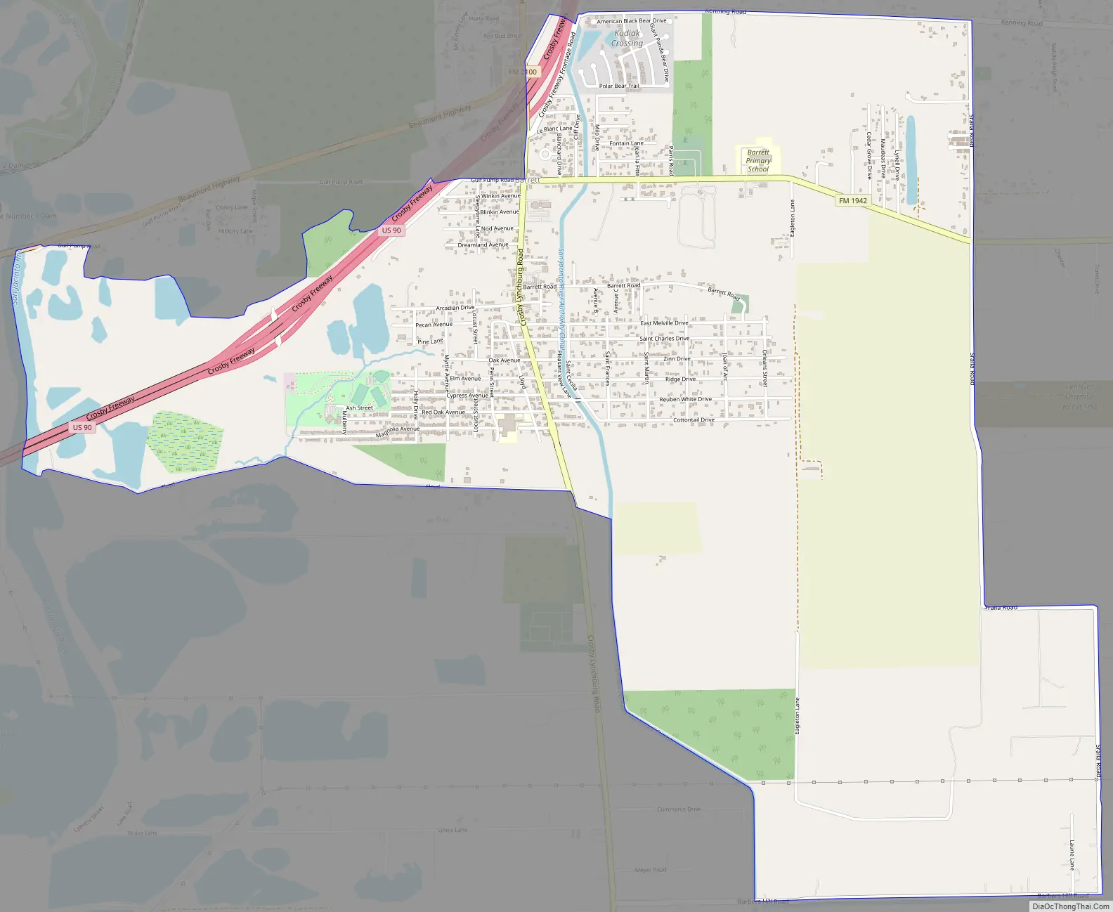
Barrett is located in eastern Harris County at 29°52′19″N 95°3′43″W / 29.87194°N 95.06194°W / 29.87194; -95.06194 (29.871849, -95.062065). U.S. Route 90 (Crosby Freeway) passes through the northwest part of the community, with access from two exits. US 90 leads southwest 22 miles (35 km) to downtown Houston and northeast 16 miles (26 km) to Dayton.
According to the United States Census Bureau, the CDP has a total area of 17.1 square kilometres (6.6 sq mi), of which 6.4 square miles (16.6 km) are land and 0.2 square miles (0.6 km), or 3.42%, are water. The CDP boundary extends west to the San Jacinto River, one of the main tributaries of Galveston Bay.
See also
Map of Texas State and its subdivision:- Anderson
- Andrews
- Angelina
- Aransas
- Archer
- Armstrong
- Atascosa
- Austin
- Bailey
- Bandera
- Bastrop
- Baylor
- Bee
- Bell
- Bexar
- Blanco
- Borden
- Bosque
- Bowie
- Brazoria
- Brazos
- Brewster
- Briscoe
- Brooks
- Brown
- Burleson
- Burnet
- Caldwell
- Calhoun
- Callahan
- Cameron
- Camp
- Carson
- Cass
- Castro
- Chambers
- Cherokee
- Childress
- Clay
- Cochran
- Coke
- Coleman
- Collin
- Collingsworth
- Colorado
- Comal
- Comanche
- Concho
- Cooke
- Coryell
- Cottle
- Crane
- Crockett
- Crosby
- Culberson
- Dallam
- Dallas
- Dawson
- Deaf Smith
- Delta
- Denton
- Dewitt
- Dickens
- Dimmit
- Donley
- Duval
- Eastland
- Ector
- Edwards
- El Paso
- Ellis
- Erath
- Falls
- Fannin
- Fayette
- Fisher
- Floyd
- Foard
- Fort Bend
- Franklin
- Freestone
- Frio
- Gaines
- Galveston
- Garza
- Gillespie
- Glasscock
- Goliad
- Gonzales
- Gray
- Grayson
- Gregg
- Grimes
- Guadalupe
- Hale
- Hall
- Hamilton
- Hansford
- Hardeman
- Hardin
- Harris
- Harrison
- Hartley
- Haskell
- Hays
- Hemphill
- Henderson
- Hidalgo
- Hill
- Hockley
- Hood
- Hopkins
- Houston
- Howard
- Hudspeth
- Hunt
- Hutchinson
- Irion
- Jack
- Jackson
- Jasper
- Jeff Davis
- Jefferson
- Jim Hogg
- Jim Wells
- Johnson
- Jones
- Karnes
- Kaufman
- Kendall
- Kenedy
- Kent
- Kerr
- Kimble
- King
- Kinney
- Kleberg
- Knox
- La Salle
- Lamar
- Lamb
- Lampasas
- Lavaca
- Lee
- Leon
- Liberty
- Limestone
- Lipscomb
- Live Oak
- Llano
- Loving
- Lubbock
- Lynn
- Madison
- Marion
- Martin
- Mason
- Matagorda
- Maverick
- McCulloch
- McLennan
- McMullen
- Medina
- Menard
- Midland
- Milam
- Mills
- Mitchell
- Montague
- Montgomery
- Moore
- Morris
- Motley
- Nacogdoches
- Navarro
- Newton
- Nolan
- Nueces
- Ochiltree
- Oldham
- Orange
- Palo Pinto
- Panola
- Parker
- Parmer
- Pecos
- Polk
- Potter
- Presidio
- Rains
- Randall
- Reagan
- Real
- Red River
- Reeves
- Refugio
- Roberts
- Robertson
- Rockwall
- Runnels
- Rusk
- Sabine
- San Augustine
- San Jacinto
- San Patricio
- San Saba
- Schleicher
- Scurry
- Shackelford
- Shelby
- Sherman
- Smith
- Somervell
- Starr
- Stephens
- Sterling
- Stonewall
- Sutton
- Swisher
- Tarrant
- Taylor
- Terrell
- Terry
- Throckmorton
- Titus
- Tom Green
- Travis
- Trinity
- Tyler
- Upshur
- Upton
- Uvalde
- Val Verde
- Van Zandt
- Victoria
- Walker
- Waller
- Ward
- Washington
- Webb
- Wharton
- Wheeler
- Wichita
- Wilbarger
- Willacy
- Williamson
- Wilson
- Winkler
- Wise
- Wood
- Yoakum
- Young
- Zapata
- Zavala
- Alabama
- Alaska
- Arizona
- Arkansas
- California
- Colorado
- Connecticut
- Delaware
- District of Columbia
- Florida
- Georgia
- Hawaii
- Idaho
- Illinois
- Indiana
- Iowa
- Kansas
- Kentucky
- Louisiana
- Maine
- Maryland
- Massachusetts
- Michigan
- Minnesota
- Mississippi
- Missouri
- Montana
- Nebraska
- Nevada
- New Hampshire
- New Jersey
- New Mexico
- New York
- North Carolina
- North Dakota
- Ohio
- Oklahoma
- Oregon
- Pennsylvania
- Rhode Island
- South Carolina
- South Dakota
- Tennessee
- Texas
- Utah
- Vermont
- Virginia
- Washington
- West Virginia
- Wisconsin
- Wyoming


