Chillicothe is a city in Hardeman County, in the U.S. state of Texas. The population was 707 at the 2010 census.
| Name: | Chillicothe city |
|---|---|
| LSAD Code: | 25 |
| LSAD Description: | city (suffix) |
| State: | Texas |
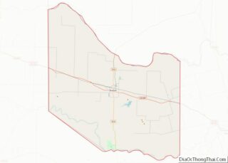
| County: | Hardeman County |
| Elevation: | 1,401 ft (427 m) |
| Total Area: | 1.02 sq mi (2.64 km²) |
| Land Area: | 1.02 sq mi (2.64 km²) |
| Water Area: | 0.00 sq mi (0.00 km²) |
| Total Population: | 707 |
| Population Density: | 659.16/sq mi (254.57/km²) |
| ZIP code: | 79225 |
| Area code: | 940 |
| FIPS code: | 4814680 |
| GNISfeature ID: | 1373085 |
Online Interactive Map
Click on ![]() to view map in "full screen" mode.
to view map in "full screen" mode.
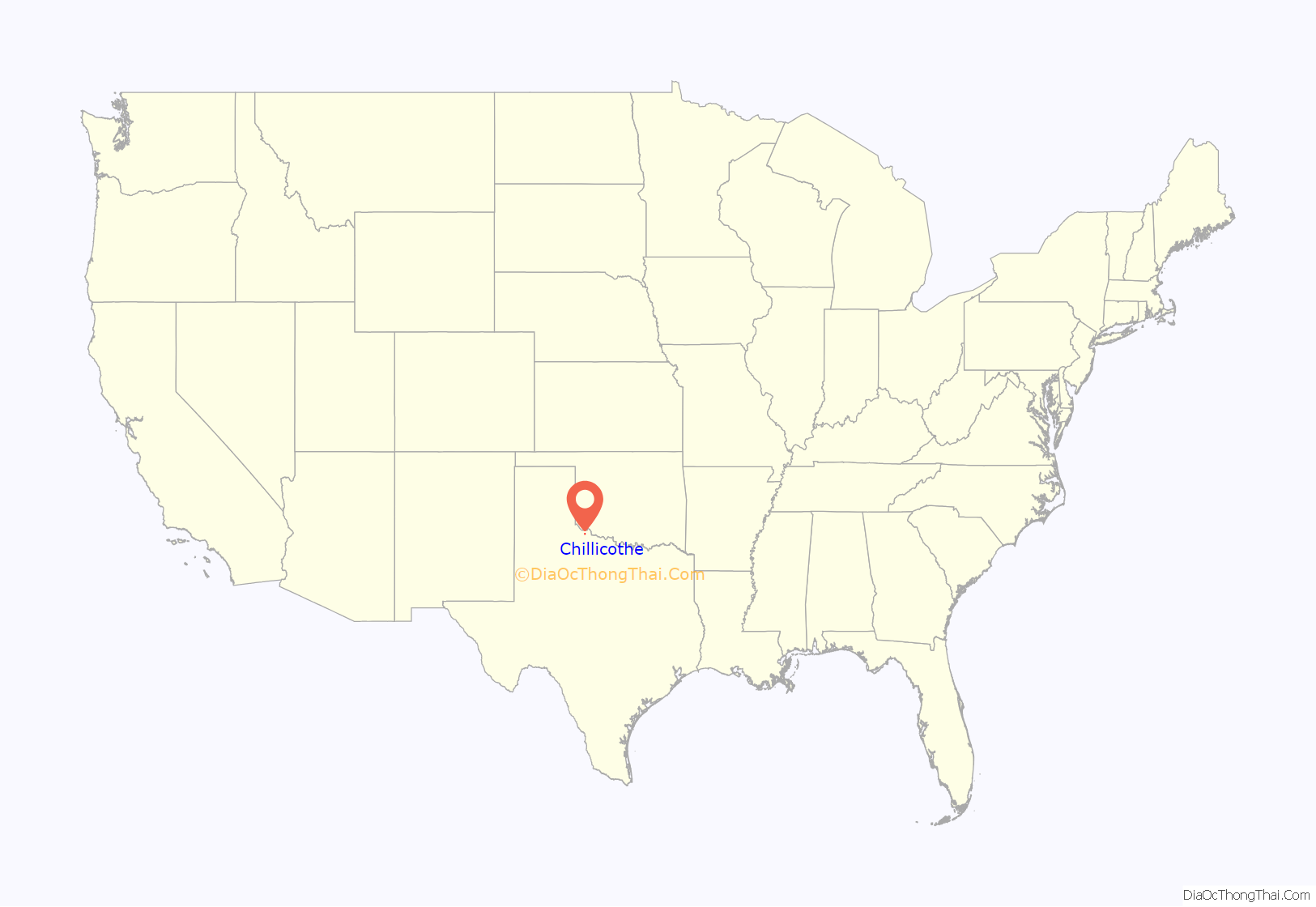
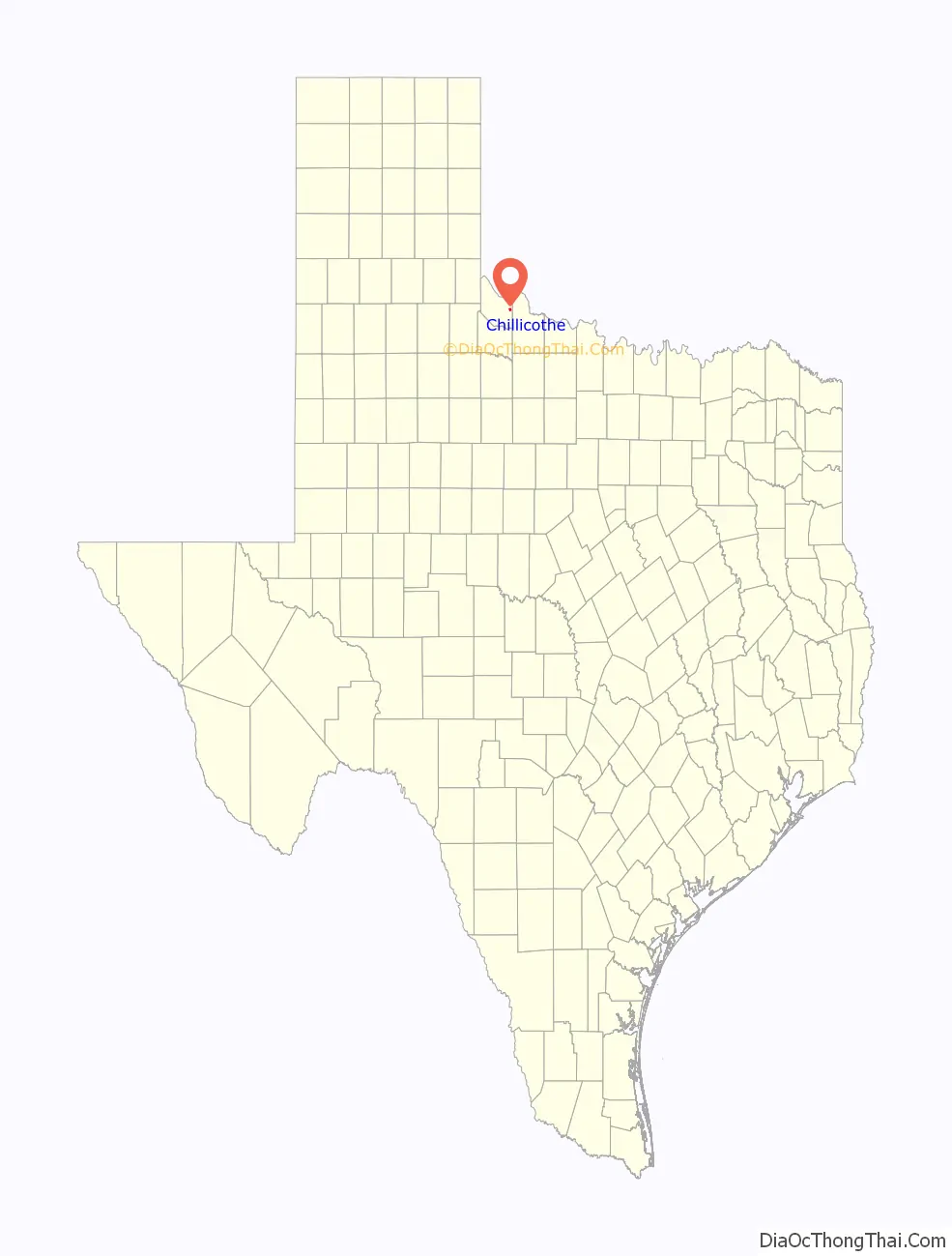
Chillicothe location map. Where is Chillicothe city?
History
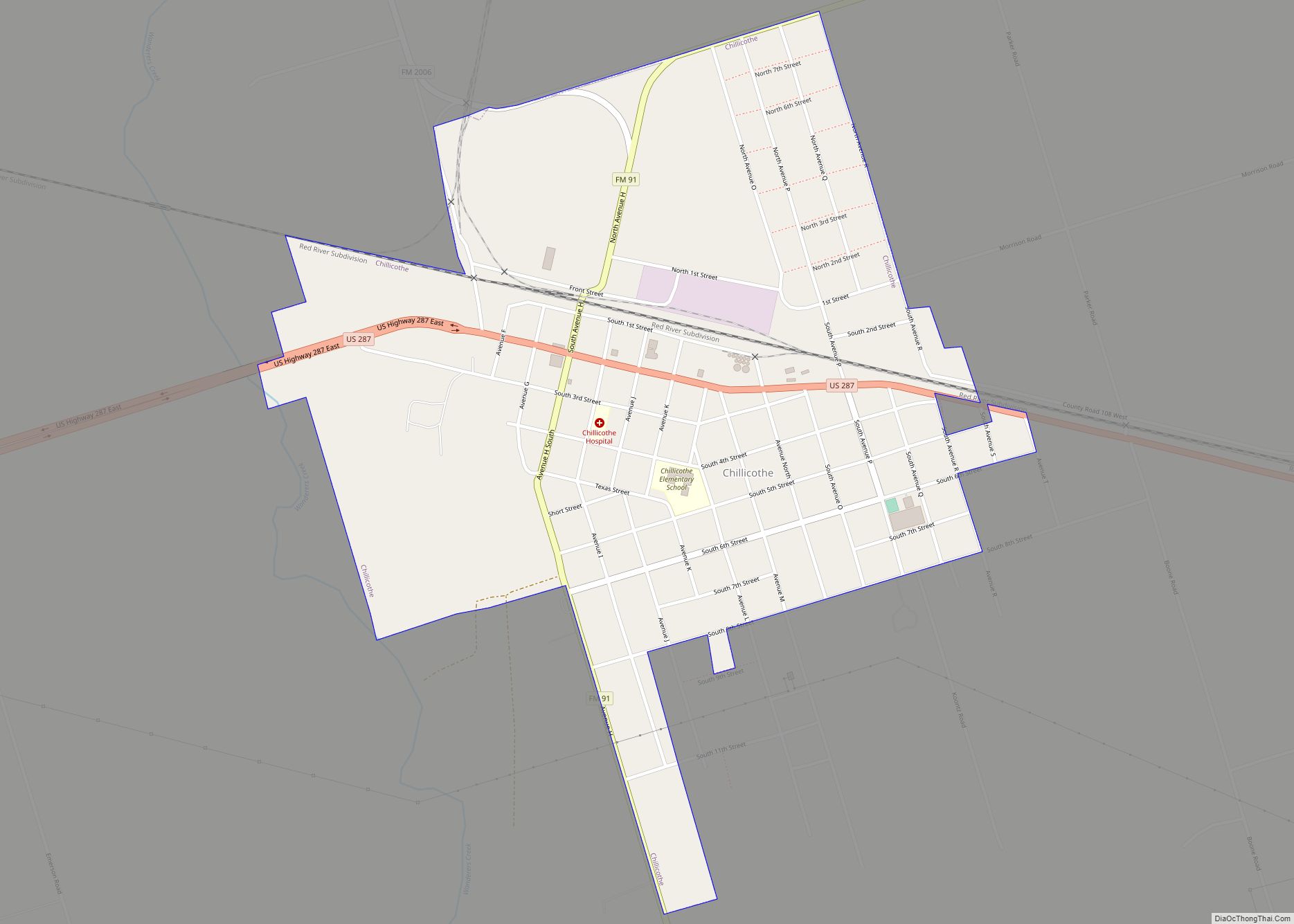
Chillicothe is on U.S. Highway 287, State Highway 91, Farm Road 2006, and the Fort Worth and Denver and Santa Fe railroads in eastern Hardeman County. It was founded in the early 1880s and developed rapidly after the construction of the Fort Worth and Denver City Railway in 1887. The community, named by A. E. Jones for his hometown in Missouri, grew up on Wanderer’s Creek near the headquarters of W. H. Worsham’s R2 Ranch in the 1870s. The post office was established in 1883 with Charles E. Jones as postmaster. A fire destroyed the town in 1890, and citizens rebuilt south of the rail line rather than north.
Pioneers include Sam L. Crossley, who became the first mayor in 1903, J. J. Britt, J. A. Shires, and W. L. Ledbetter. Wheat elevators were constructed in 1892–1893, and the town was incorporated in 1907 with a population of 800. Additional rail service from the Kansas City, Mexico and Orient Railway began in 1908. Chillicothe is called the Iris Village because of the many irises gracing the town. The population was 1,610 in 1930 and has been declining ever since. Chillicothe has a hospital, a library, a newspaper, and other businesses.
The Chillicothe Hospital officially closed effective July 22, 2019 after 70 years of service.
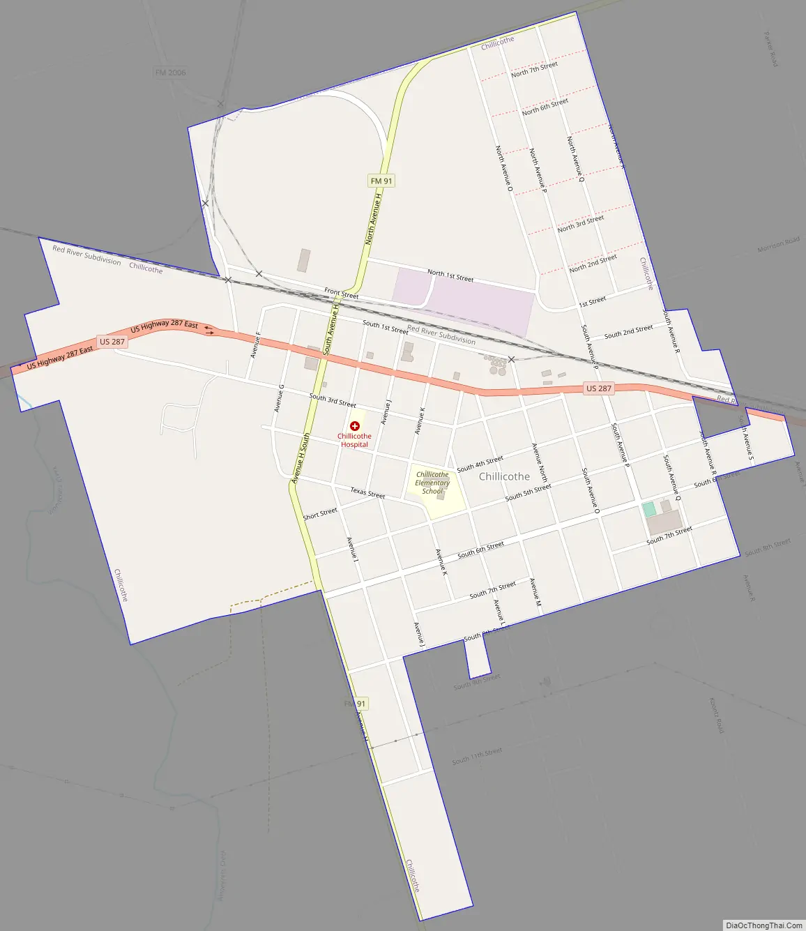
Chillicothe Road Map
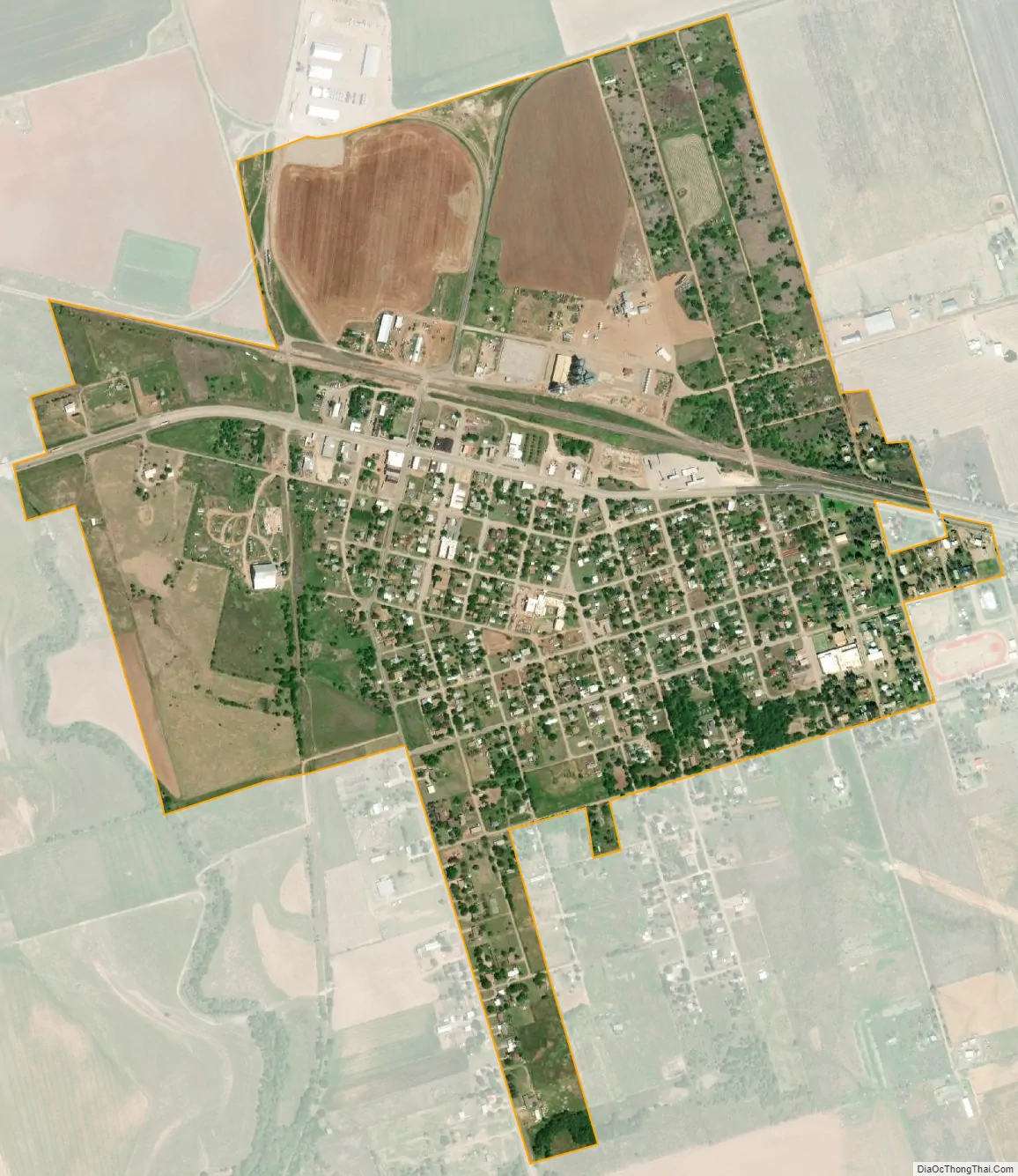
Chillicothe city Satellite Map
Geography
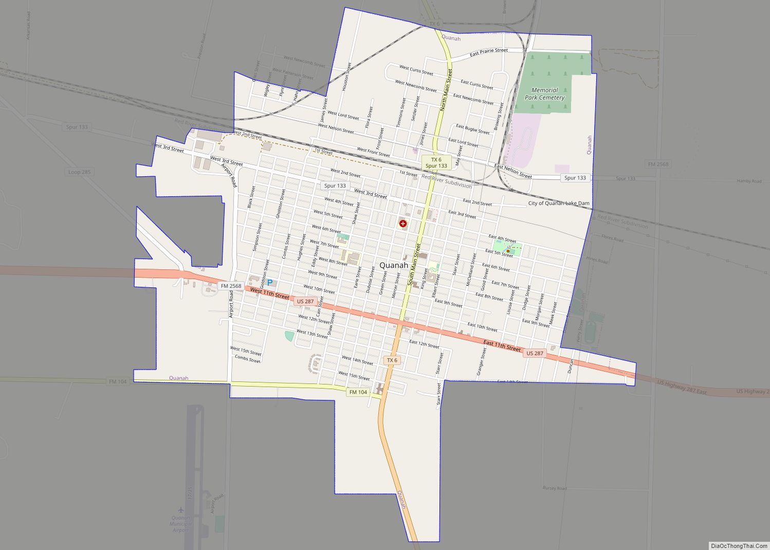
Chillicothe is located in eastern Hardeman County at 34°15′19″N 99°30′44″W / 34.25528°N 99.51222°W / 34.25528; -99.51222 (34.255377, –99.512255). U.S. Route 287 runs through the center of town, leading southeast 16 miles (26 km) to Vernon and west 13 miles (21 km) to Quanah, the Hardeman county seat.
According to the United States Census Bureau, the city has a total area of 1.0 square mile (2.6 km), all of it land. Wanderers Creek runs past the west side of the city, flowing north towards the Red River at the Oklahoma state line.
See also
Map of Texas State and its subdivision:- Anderson
- Andrews
- Angelina
- Aransas
- Archer
- Armstrong
- Atascosa
- Austin
- Bailey
- Bandera
- Bastrop
- Baylor
- Bee
- Bell
- Bexar
- Blanco
- Borden
- Bosque
- Bowie
- Brazoria
- Brazos
- Brewster
- Briscoe
- Brooks
- Brown
- Burleson
- Burnet
- Caldwell
- Calhoun
- Callahan
- Cameron
- Camp
- Carson
- Cass
- Castro
- Chambers
- Cherokee
- Childress
- Clay
- Cochran
- Coke
- Coleman
- Collin
- Collingsworth
- Colorado
- Comal
- Comanche
- Concho
- Cooke
- Coryell
- Cottle
- Crane
- Crockett
- Crosby
- Culberson
- Dallam
- Dallas
- Dawson
- Deaf Smith
- Delta
- Denton
- Dewitt
- Dickens
- Dimmit
- Donley
- Duval
- Eastland
- Ector
- Edwards
- El Paso
- Ellis
- Erath
- Falls
- Fannin
- Fayette
- Fisher
- Floyd
- Foard
- Fort Bend
- Franklin
- Freestone
- Frio
- Gaines
- Galveston
- Garza
- Gillespie
- Glasscock
- Goliad
- Gonzales
- Gray
- Grayson
- Gregg
- Grimes
- Guadalupe
- Hale
- Hall
- Hamilton
- Hansford
- Hardeman
- Hardin
- Harris
- Harrison
- Hartley
- Haskell
- Hays
- Hemphill
- Henderson
- Hidalgo
- Hill
- Hockley
- Hood
- Hopkins
- Houston
- Howard
- Hudspeth
- Hunt
- Hutchinson
- Irion
- Jack
- Jackson
- Jasper
- Jeff Davis
- Jefferson
- Jim Hogg
- Jim Wells
- Johnson
- Jones
- Karnes
- Kaufman
- Kendall
- Kenedy
- Kent
- Kerr
- Kimble
- King
- Kinney
- Kleberg
- Knox
- La Salle
- Lamar
- Lamb
- Lampasas
- Lavaca
- Lee
- Leon
- Liberty
- Limestone
- Lipscomb
- Live Oak
- Llano
- Loving
- Lubbock
- Lynn
- Madison
- Marion
- Martin
- Mason
- Matagorda
- Maverick
- McCulloch
- McLennan
- McMullen
- Medina
- Menard
- Midland
- Milam
- Mills
- Mitchell
- Montague
- Montgomery
- Moore
- Morris
- Motley
- Nacogdoches
- Navarro
- Newton
- Nolan
- Nueces
- Ochiltree
- Oldham
- Orange
- Palo Pinto
- Panola
- Parker
- Parmer
- Pecos
- Polk
- Potter
- Presidio
- Rains
- Randall
- Reagan
- Real
- Red River
- Reeves
- Refugio
- Roberts
- Robertson
- Rockwall
- Runnels
- Rusk
- Sabine
- San Augustine
- San Jacinto
- San Patricio
- San Saba
- Schleicher
- Scurry
- Shackelford
- Shelby
- Sherman
- Smith
- Somervell
- Starr
- Stephens
- Sterling
- Stonewall
- Sutton
- Swisher
- Tarrant
- Taylor
- Terrell
- Terry
- Throckmorton
- Titus
- Tom Green
- Travis
- Trinity
- Tyler
- Upshur
- Upton
- Uvalde
- Val Verde
- Van Zandt
- Victoria
- Walker
- Waller
- Ward
- Washington
- Webb
- Wharton
- Wheeler
- Wichita
- Wilbarger
- Willacy
- Williamson
- Wilson
- Winkler
- Wise
- Wood
- Yoakum
- Young
- Zapata
- Zavala
- Alabama
- Alaska
- Arizona
- Arkansas
- California
- Colorado
- Connecticut
- Delaware
- District of Columbia
- Florida
- Georgia
- Hawaii
- Idaho
- Illinois
- Indiana
- Iowa
- Kansas
- Kentucky
- Louisiana
- Maine
- Maryland
- Massachusetts
- Michigan
- Minnesota
- Mississippi
- Missouri
- Montana
- Nebraska
- Nevada
- New Hampshire
- New Jersey
- New Mexico
- New York
- North Carolina
- North Dakota
- Ohio
- Oklahoma
- Oregon
- Pennsylvania
- Rhode Island
- South Carolina
- South Dakota
- Tennessee
- Texas
- Utah
- Vermont
- Virginia
- Washington
- West Virginia
- Wisconsin
- Wyoming