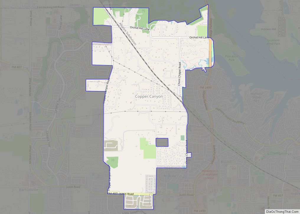
Copper Canyon is a town in Denton County, Texas, United States. The population was 1,731 in 2020. Copper Canyon is adjacent to the master-planned Lantana residential development.
| Name: | Copper Canyon town |
|---|---|
| LSAD Code: | 43 |
| LSAD Description: | town (suffix) |
| State: | Texas |
| County: | Denton County |
| Elevation: | 623 ft (190 m) |
| Total Area: | 4.60 sq mi (11.93 km²) |
| Land Area: | 4.58 sq mi (11.85 km²) |
| Water Area: | 0.03 sq mi (0.07 km²) |
| Total Population: | 1,731 |
| Population Density: | 380/sq mi (150/km²) |
| ZIP code: | 75077 |
| FIPS code: | 4816636 |
| GNISfeature ID: | 1388576 |
| Website: | www.coppercanyon-tx.org |
Online Interactive Map
Click on ![]() to view map in "full screen" mode.
to view map in "full screen" mode.
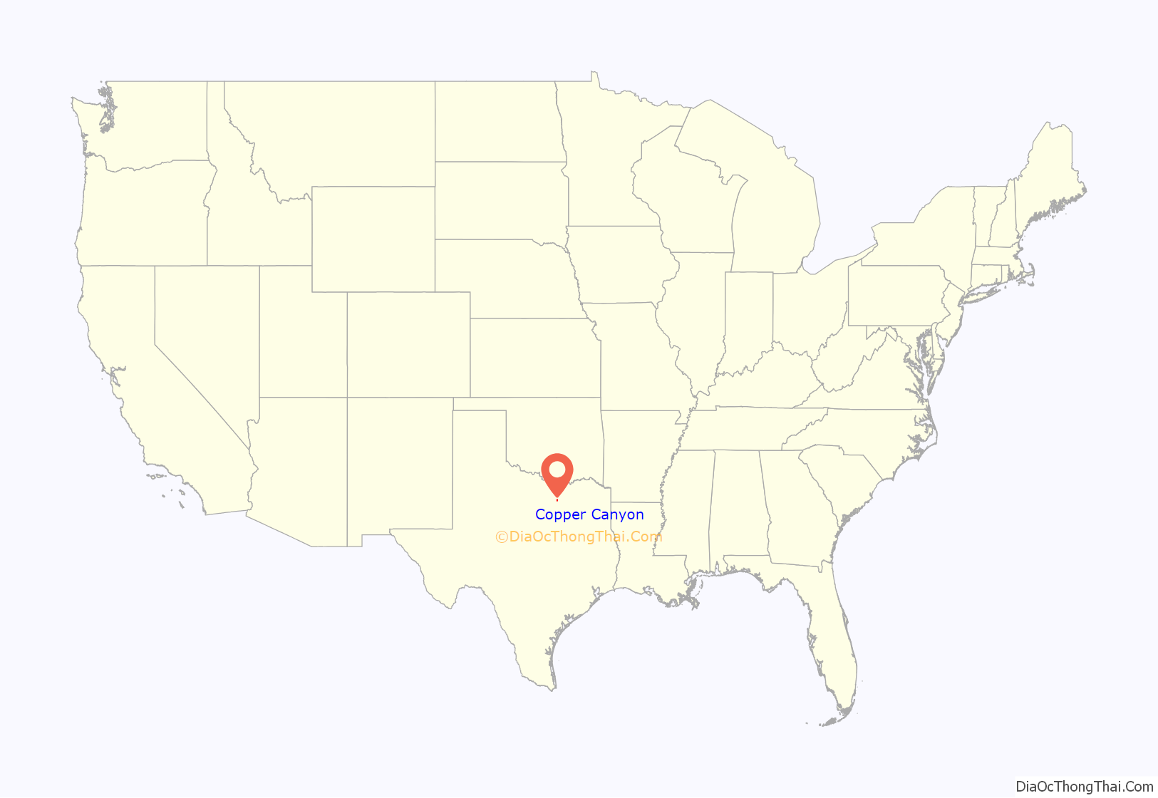
Copper Canyon location map. Where is Copper Canyon town?
History
The first European settlement in the area that would become Copper Canyon occurred in the 1840s. One of the more prominent settler families was that of Elisha and Mary Chinn, who came to Texas from their original home in North Carolina in 1852. They helped establish the first church in the area, a log-cabin chapel which eventually became known as the Chinn’s Chapel Methodist Church. The church is still active on what is now known as Chinn Chapel Road.
The town gradually grew with cattle ranching as the mainstay of the local economy. The railroad came to the area in 1881, and the first public school was constructed in 1884. The town apparently got its name from “Copperhead Canyon,” a part of the area formerly known for venomous snakes. Population, never large, generally stagnated or declined in the first half of the twentieth century. After World War II the area’s rural charm slowly began to attract residents from the more crowded parts of the Dallas/Fort Worth metroplex.
The town was formally incorporated in 1973. Although still rather sparsely populated, the town has grown as part of the general development of areas north of the Dallas/Fort Worth International Airport. Census Bureau figures tell the story: 465 (1980), 978 (1990), 1,216 (2000), 1,334 (2010). Traditional ranches are still found in the area, but Copper Canyon has become primarily a bedroom community with little commercial development.
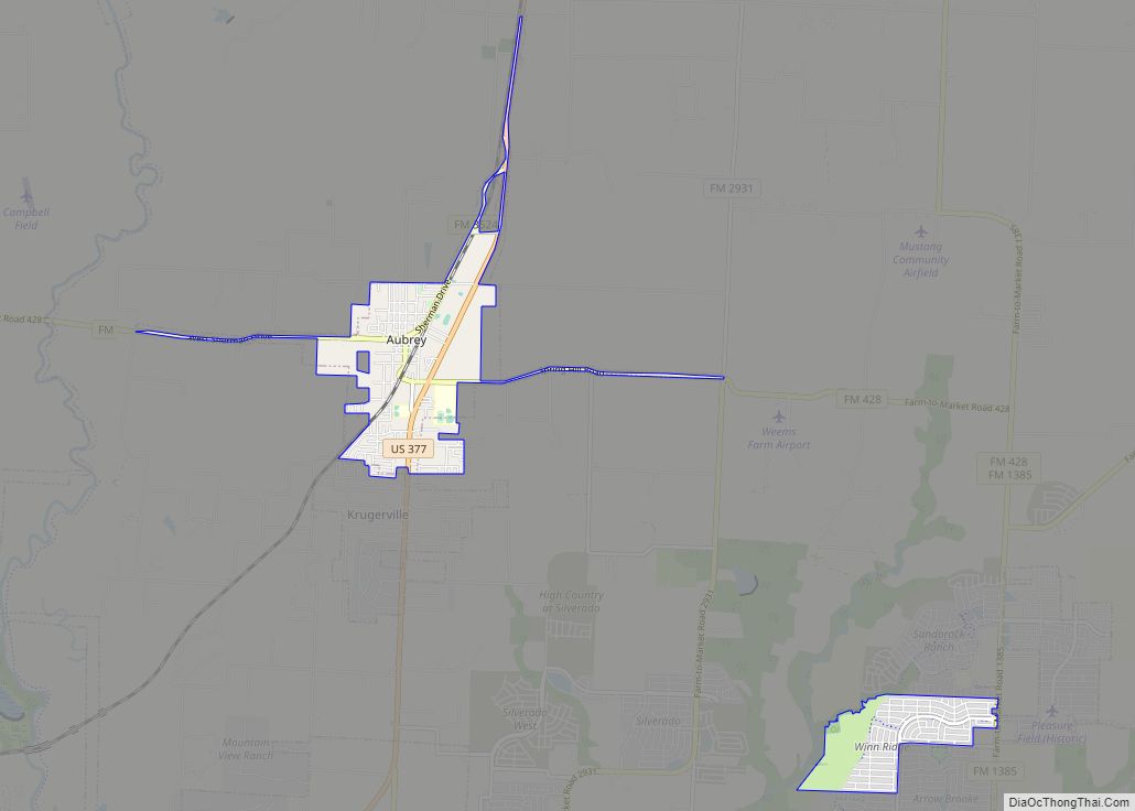
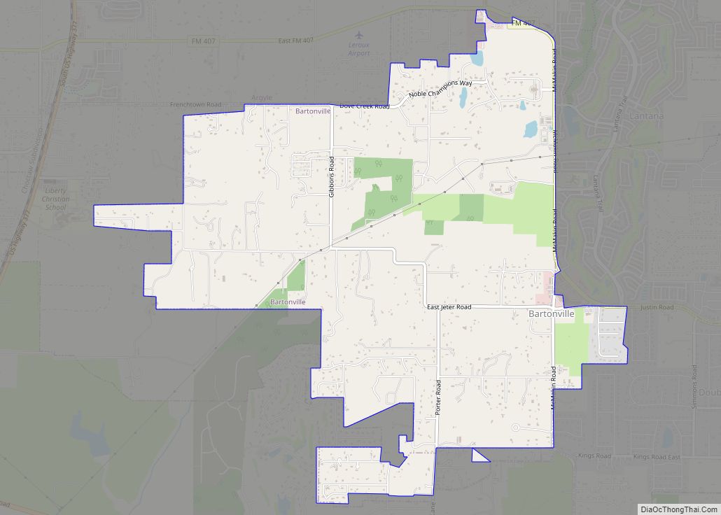
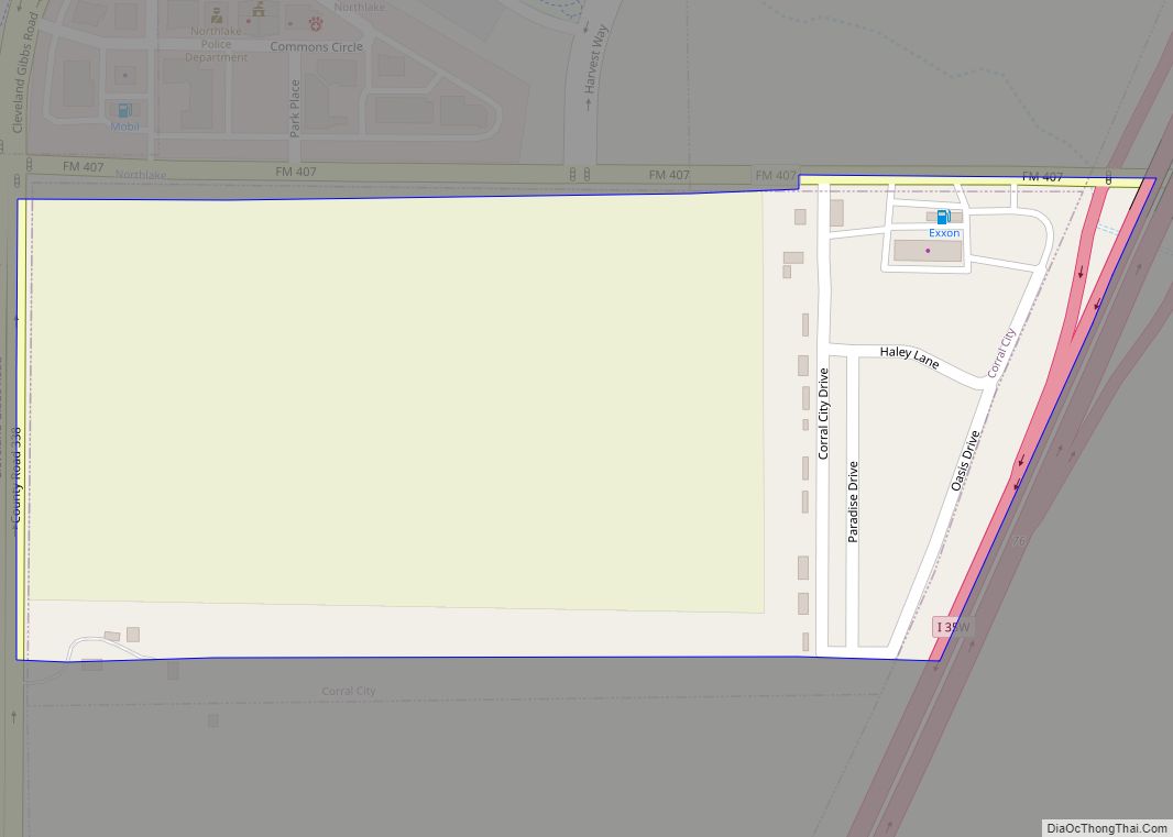
Copper Canyon Road Map
Copper Canyon city Satellite Map
Geography
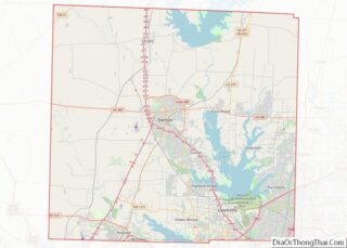
Copper Canyon is located at 33°5′56″N 97°5′41″W / 33.09889°N 97.09472°W / 33.09889; -97.09472 (33.098814, –97.094646). According to the United States Census Bureau, the town has a total area of 4.5 square miles (12 km), of which 4.4 square miles (11 km) is land and 0.22% is water.
See also
Map of Texas State and its subdivision:- Anderson
- Andrews
- Angelina
- Aransas
- Archer
- Armstrong
- Atascosa
- Austin
- Bailey
- Bandera
- Bastrop
- Baylor
- Bee
- Bell
- Bexar
- Blanco
- Borden
- Bosque
- Bowie
- Brazoria
- Brazos
- Brewster
- Briscoe
- Brooks
- Brown
- Burleson
- Burnet
- Caldwell
- Calhoun
- Callahan
- Cameron
- Camp
- Carson
- Cass
- Castro
- Chambers
- Cherokee
- Childress
- Clay
- Cochran
- Coke
- Coleman
- Collin
- Collingsworth
- Colorado
- Comal
- Comanche
- Concho
- Cooke
- Coryell
- Cottle
- Crane
- Crockett
- Crosby
- Culberson
- Dallam
- Dallas
- Dawson
- Deaf Smith
- Delta
- Denton
- Dewitt
- Dickens
- Dimmit
- Donley
- Duval
- Eastland
- Ector
- Edwards
- El Paso
- Ellis
- Erath
- Falls
- Fannin
- Fayette
- Fisher
- Floyd
- Foard
- Fort Bend
- Franklin
- Freestone
- Frio
- Gaines
- Galveston
- Garza
- Gillespie
- Glasscock
- Goliad
- Gonzales
- Gray
- Grayson
- Gregg
- Grimes
- Guadalupe
- Hale
- Hall
- Hamilton
- Hansford
- Hardeman
- Hardin
- Harris
- Harrison
- Hartley
- Haskell
- Hays
- Hemphill
- Henderson
- Hidalgo
- Hill
- Hockley
- Hood
- Hopkins
- Houston
- Howard
- Hudspeth
- Hunt
- Hutchinson
- Irion
- Jack
- Jackson
- Jasper
- Jeff Davis
- Jefferson
- Jim Hogg
- Jim Wells
- Johnson
- Jones
- Karnes
- Kaufman
- Kendall
- Kenedy
- Kent
- Kerr
- Kimble
- King
- Kinney
- Kleberg
- Knox
- La Salle
- Lamar
- Lamb
- Lampasas
- Lavaca
- Lee
- Leon
- Liberty
- Limestone
- Lipscomb
- Live Oak
- Llano
- Loving
- Lubbock
- Lynn
- Madison
- Marion
- Martin
- Mason
- Matagorda
- Maverick
- McCulloch
- McLennan
- McMullen
- Medina
- Menard
- Midland
- Milam
- Mills
- Mitchell
- Montague
- Montgomery
- Moore
- Morris
- Motley
- Nacogdoches
- Navarro
- Newton
- Nolan
- Nueces
- Ochiltree
- Oldham
- Orange
- Palo Pinto
- Panola
- Parker
- Parmer
- Pecos
- Polk
- Potter
- Presidio
- Rains
- Randall
- Reagan
- Real
- Red River
- Reeves
- Refugio
- Roberts
- Robertson
- Rockwall
- Runnels
- Rusk
- Sabine
- San Augustine
- San Jacinto
- San Patricio
- San Saba
- Schleicher
- Scurry
- Shackelford
- Shelby
- Sherman
- Smith
- Somervell
- Starr
- Stephens
- Sterling
- Stonewall
- Sutton
- Swisher
- Tarrant
- Taylor
- Terrell
- Terry
- Throckmorton
- Titus
- Tom Green
- Travis
- Trinity
- Tyler
- Upshur
- Upton
- Uvalde
- Val Verde
- Van Zandt
- Victoria
- Walker
- Waller
- Ward
- Washington
- Webb
- Wharton
- Wheeler
- Wichita
- Wilbarger
- Willacy
- Williamson
- Wilson
- Winkler
- Wise
- Wood
- Yoakum
- Young
- Zapata
- Zavala
- Alabama
- Alaska
- Arizona
- Arkansas
- California
- Colorado
- Connecticut
- Delaware
- District of Columbia
- Florida
- Georgia
- Hawaii
- Idaho
- Illinois
- Indiana
- Iowa
- Kansas
- Kentucky
- Louisiana
- Maine
- Maryland
- Massachusetts
- Michigan
- Minnesota
- Mississippi
- Missouri
- Montana
- Nebraska
- Nevada
- New Hampshire
- New Jersey
- New Mexico
- New York
- North Carolina
- North Dakota
- Ohio
- Oklahoma
- Oregon
- Pennsylvania
- Rhode Island
- South Carolina
- South Dakota
- Tennessee
- Texas
- Utah
- Vermont
- Virginia
- Washington
- West Virginia
- Wisconsin
- Wyoming
