Crosby is a census-designated place in Harris County, Texas, United States. The population was 3,417 at the 2020 census.
| Name: | Crosby CDP |
|---|---|
| LSAD Code: | 57 |
| LSAD Description: | CDP (suffix) |
| State: | Texas |
| County: | Harris County |
| Elevation: | 46 ft (14 m) |
| Total Area: | 2.3 sq mi (5.9 km²) |
| Land Area: | 2.3 sq mi (5.9 km²) |
| Water Area: | 0.0 sq mi (0.0 km²) |
| Total Population: | 3,417 |
| Population Density: | 1,500/sq mi (580/km²) |
| ZIP code: | 77532 |
| Area code: | 281 |
| FIPS code: | 4817756 |
| GNISfeature ID: | 1355392 |
Online Interactive Map
Click on ![]() to view map in "full screen" mode.
to view map in "full screen" mode.
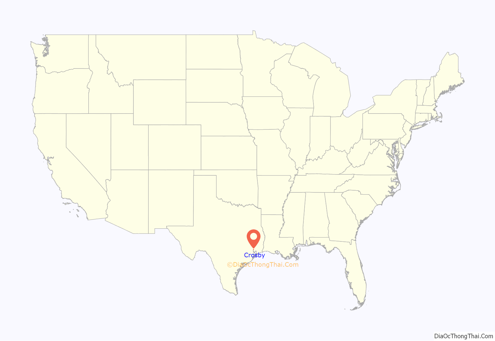
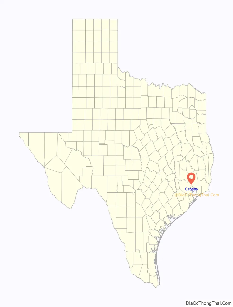
Crosby location map. Where is Crosby CDP?
History
The site north of U.S. Route 90 (according to some) was an encampment nicknamed Lick Skillet in 1823 by Humphrey Jackson, one of the 300 original colonists to settle Texas. The name “Lick Skillet” came from the phrase, “The East Texas oxen team drivers sipped the spring sweet water and licked their skillets clean.”
Humphrey Jackson (1784–1833) moved to Texas from Louisiana in September 1823 and built a log cabin outside Austin’s colony on the San Jacinto River, 0.5 miles (800 m) west of the site of present-day Crosby. On August 16, 1824, the Baron de Bastrop granted him title to a league and a labor of land, including the place where he had settled, in what is now Harris County. Jackson next petitioned the Mexican government to form the San Jacinto District under control of the Austin colony; he was elected alcalde of the new district in 1824, 1825, and 1827, and served as ex officio militia captain of the San Jacinto area. Jackson was buried at Crosby. Jackson’s Bayou in eastern Harris County is probably named for him.
In 1860, the town was named Gentry after President of the Sabine and Galveston Bay Railroad and Lumber Company, A. M. Gentry who constructed the 41 miles of railroad from Houston to Liberty in what was called the Texas and New Orleans Railroad, Texas Division. The first general store was built in 1865 by Charlie Karcher, and thereafter the town would become a shipping and retail center for lumber and agricultural products.
The railroad was eventually taken over by the Southern Pacific Railroad and rebuilt. The platform which had been built with a sign showing the name “Gentry” was located and a new depot built. In 1877, the town was renamed by former judge, state representative, legislator, and Vice President of the railroad, Josiah Frasier Crosby, and a post office was established. By 1884 Crosby reported a population of 50, a school, a Baptist church, and a general store. In 1905 it had one school with four teachers and 122 students. As of 1929, the population was about 600, but the Great Depression reduced this number by half. World War II brought the population to over 900, and the population continued to grow.
For a brief 19 days in 1953 (from December 19 to 31), the town of Crosby briefly changed the name to Hope, Texas in order to partake in a contest conducted by comedian Bob Hope. Reported in a news transcript from WBAP-TV in Fort Worth, Texas; “Hope recently announced that he would like to have a pretty girl from every city in the nation named Hope to appear on his television show next Tuesday. Maine, Rhode Island, Michigan, Kansas and Indiana are sending representatives, so the folks in Crosby decided they’de [sic] get into the act. The result: they changed the town’s name to Hope and set about naming a queen. The town will keep its new name until New Years Day, then it will become Crosby, Texas, again.”
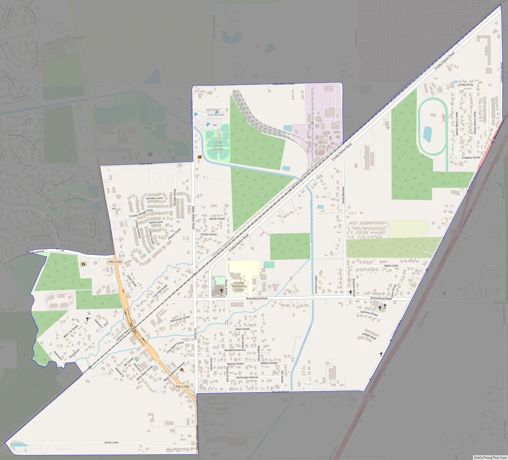
Crosby Road Map
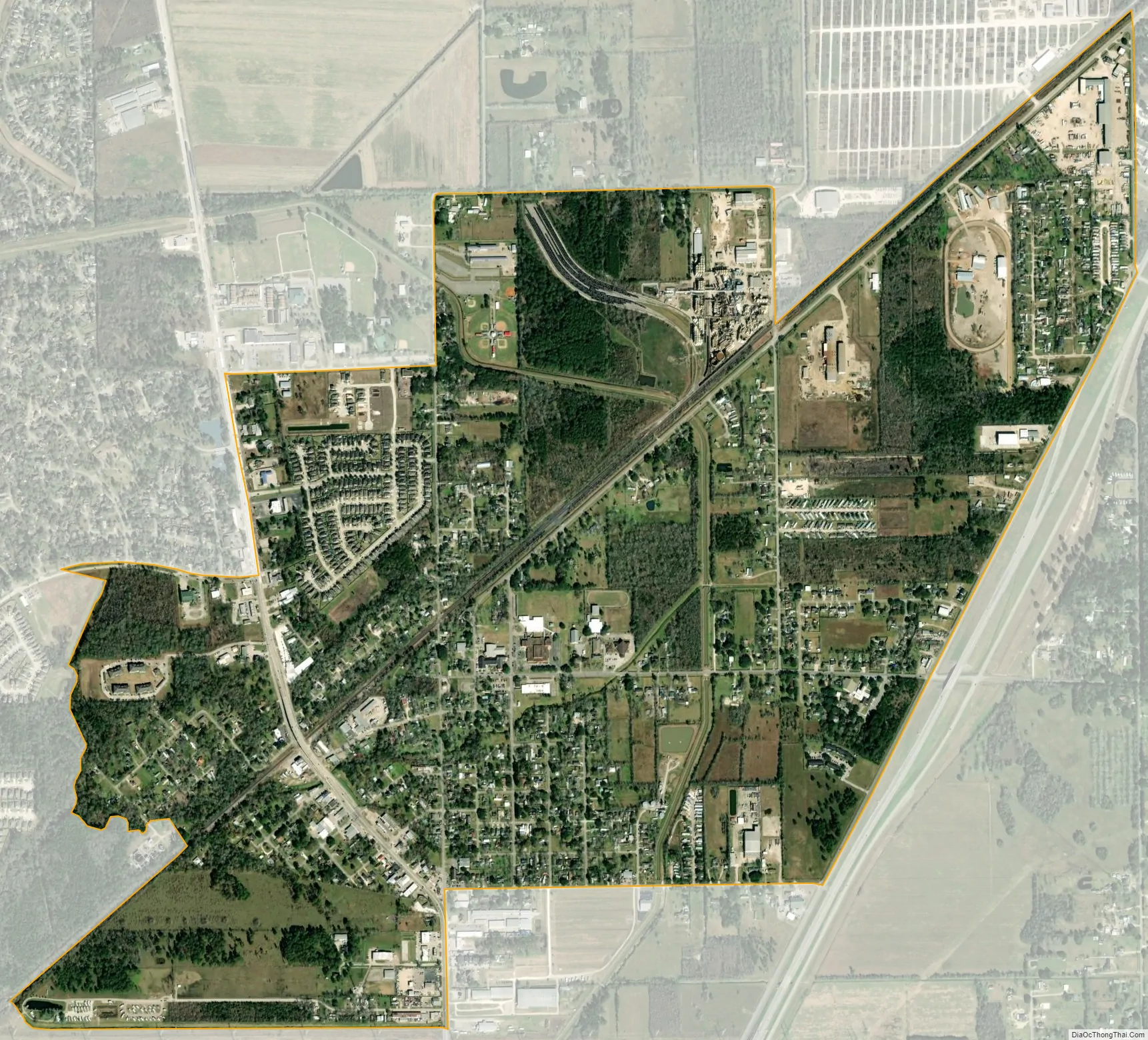
Crosby city Satellite Map
Geography
Crosby is located at 29°54′38″N 95°03′39″W / 29.910577°N 95.060882°W / 29.910577; -95.060882Coordinates: 29°54′38″N 95°03′39″W / 29.910577°N 95.060882°W / 29.910577; -95.060882 (29.910577, −95.060882).
According to the United States Census Bureau, the CDP has a total area of 2.3 square miles (6.0 km), all of it land and is located north of the historical Barrett Station.
Climate
The climate in this area is characterized by hot, humid summers and generally mild to cool winters. According to the Köppen Climate Classification system, Crosby has a humid subtropical climate, abbreviated “Cfa” on climate maps.
See also
Map of Texas State and its subdivision:- Anderson
- Andrews
- Angelina
- Aransas
- Archer
- Armstrong
- Atascosa
- Austin
- Bailey
- Bandera
- Bastrop
- Baylor
- Bee
- Bell
- Bexar
- Blanco
- Borden
- Bosque
- Bowie
- Brazoria
- Brazos
- Brewster
- Briscoe
- Brooks
- Brown
- Burleson
- Burnet
- Caldwell
- Calhoun
- Callahan
- Cameron
- Camp
- Carson
- Cass
- Castro
- Chambers
- Cherokee
- Childress
- Clay
- Cochran
- Coke
- Coleman
- Collin
- Collingsworth
- Colorado
- Comal
- Comanche
- Concho
- Cooke
- Coryell
- Cottle
- Crane
- Crockett
- Crosby
- Culberson
- Dallam
- Dallas
- Dawson
- Deaf Smith
- Delta
- Denton
- Dewitt
- Dickens
- Dimmit
- Donley
- Duval
- Eastland
- Ector
- Edwards
- El Paso
- Ellis
- Erath
- Falls
- Fannin
- Fayette
- Fisher
- Floyd
- Foard
- Fort Bend
- Franklin
- Freestone
- Frio
- Gaines
- Galveston
- Garza
- Gillespie
- Glasscock
- Goliad
- Gonzales
- Gray
- Grayson
- Gregg
- Grimes
- Guadalupe
- Hale
- Hall
- Hamilton
- Hansford
- Hardeman
- Hardin
- Harris
- Harrison
- Hartley
- Haskell
- Hays
- Hemphill
- Henderson
- Hidalgo
- Hill
- Hockley
- Hood
- Hopkins
- Houston
- Howard
- Hudspeth
- Hunt
- Hutchinson
- Irion
- Jack
- Jackson
- Jasper
- Jeff Davis
- Jefferson
- Jim Hogg
- Jim Wells
- Johnson
- Jones
- Karnes
- Kaufman
- Kendall
- Kenedy
- Kent
- Kerr
- Kimble
- King
- Kinney
- Kleberg
- Knox
- La Salle
- Lamar
- Lamb
- Lampasas
- Lavaca
- Lee
- Leon
- Liberty
- Limestone
- Lipscomb
- Live Oak
- Llano
- Loving
- Lubbock
- Lynn
- Madison
- Marion
- Martin
- Mason
- Matagorda
- Maverick
- McCulloch
- McLennan
- McMullen
- Medina
- Menard
- Midland
- Milam
- Mills
- Mitchell
- Montague
- Montgomery
- Moore
- Morris
- Motley
- Nacogdoches
- Navarro
- Newton
- Nolan
- Nueces
- Ochiltree
- Oldham
- Orange
- Palo Pinto
- Panola
- Parker
- Parmer
- Pecos
- Polk
- Potter
- Presidio
- Rains
- Randall
- Reagan
- Real
- Red River
- Reeves
- Refugio
- Roberts
- Robertson
- Rockwall
- Runnels
- Rusk
- Sabine
- San Augustine
- San Jacinto
- San Patricio
- San Saba
- Schleicher
- Scurry
- Shackelford
- Shelby
- Sherman
- Smith
- Somervell
- Starr
- Stephens
- Sterling
- Stonewall
- Sutton
- Swisher
- Tarrant
- Taylor
- Terrell
- Terry
- Throckmorton
- Titus
- Tom Green
- Travis
- Trinity
- Tyler
- Upshur
- Upton
- Uvalde
- Val Verde
- Van Zandt
- Victoria
- Walker
- Waller
- Ward
- Washington
- Webb
- Wharton
- Wheeler
- Wichita
- Wilbarger
- Willacy
- Williamson
- Wilson
- Winkler
- Wise
- Wood
- Yoakum
- Young
- Zapata
- Zavala
- Alabama
- Alaska
- Arizona
- Arkansas
- California
- Colorado
- Connecticut
- Delaware
- District of Columbia
- Florida
- Georgia
- Hawaii
- Idaho
- Illinois
- Indiana
- Iowa
- Kansas
- Kentucky
- Louisiana
- Maine
- Maryland
- Massachusetts
- Michigan
- Minnesota
- Mississippi
- Missouri
- Montana
- Nebraska
- Nevada
- New Hampshire
- New Jersey
- New Mexico
- New York
- North Carolina
- North Dakota
- Ohio
- Oklahoma
- Oregon
- Pennsylvania
- Rhode Island
- South Carolina
- South Dakota
- Tennessee
- Texas
- Utah
- Vermont
- Virginia
- Washington
- West Virginia
- Wisconsin
- Wyoming


