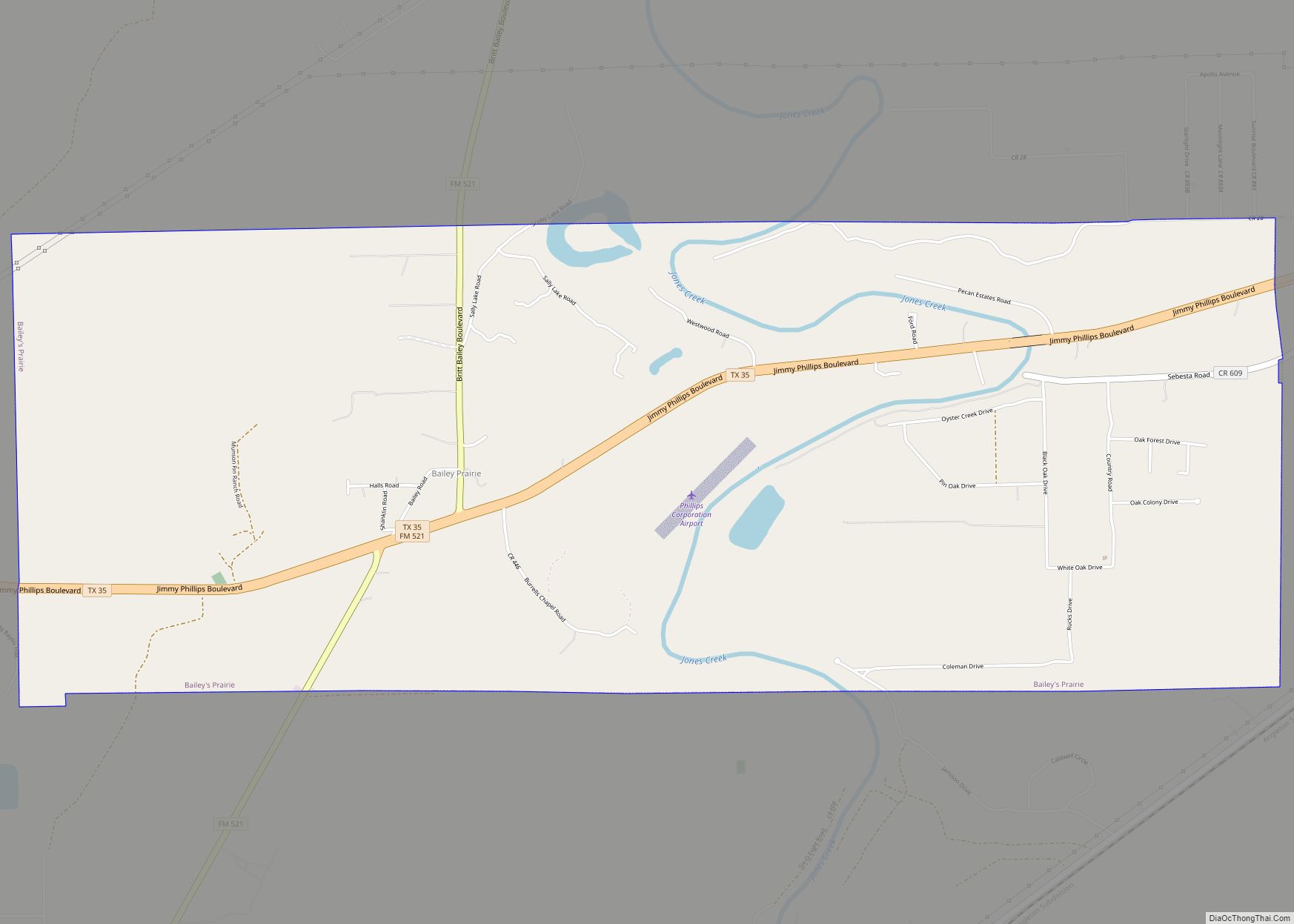
Damon is a census-designated place (CDP) in Brazoria County, Texas, United States. The population was 552 at the 2010 census. The town is located about 20 miles (32 km) south of Rosenberg on Texas State Highway 36. Damon sits partly atop a salt dome which was exploited for petroleum, sulphur, and limestone.
| Name: | Damon CDP |
|---|---|
| LSAD Code: | 57 |
| LSAD Description: | CDP (suffix) |
| State: | Texas |
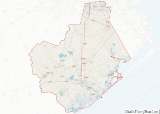
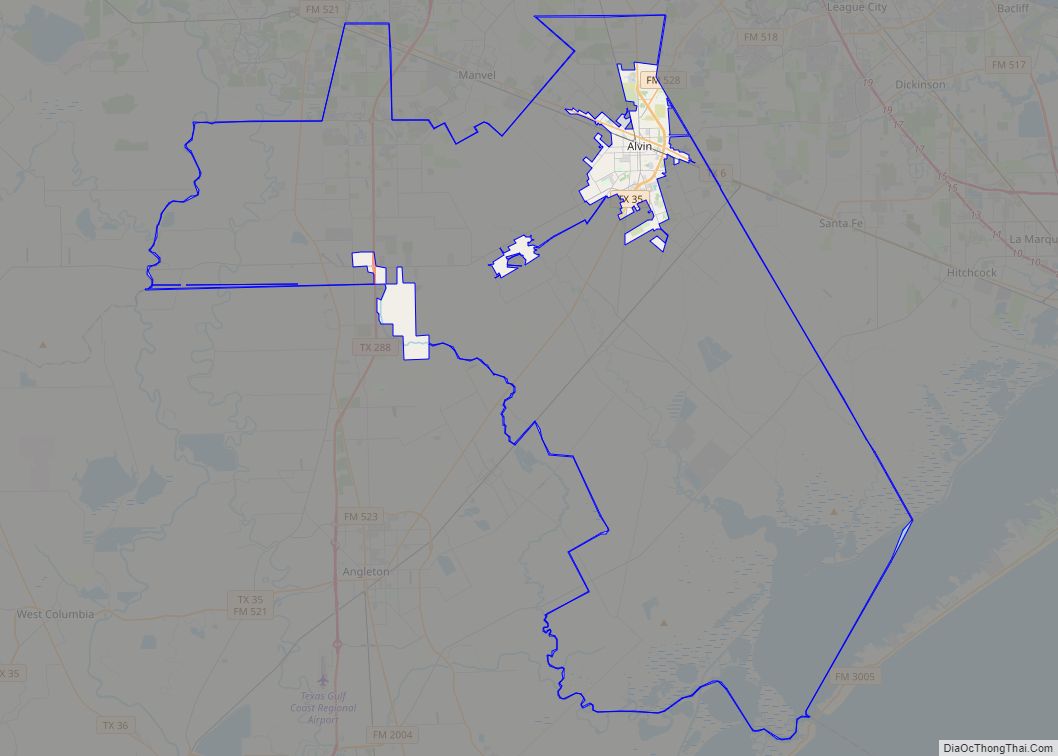
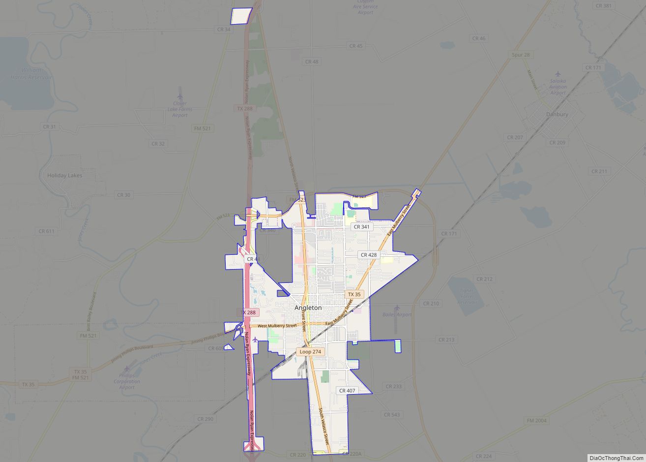
| County: | Brazoria County |
| Elevation: | 79 ft (24 m) |
| Total Area: | 1.4 sq mi (3.6 km²) |
| Land Area: | 1.4 sq mi (3.6 km²) |
| Water Area: | 0.0 sq mi (0.0 km²) |
| Total Population: | 552 |
| Population Density: | 396/sq mi (152.9/km²) |
| ZIP code: | 77430 |
| Area code: | 979 |
| FIPS code: | 4819108 |
| GNISfeature ID: | 1355614 |
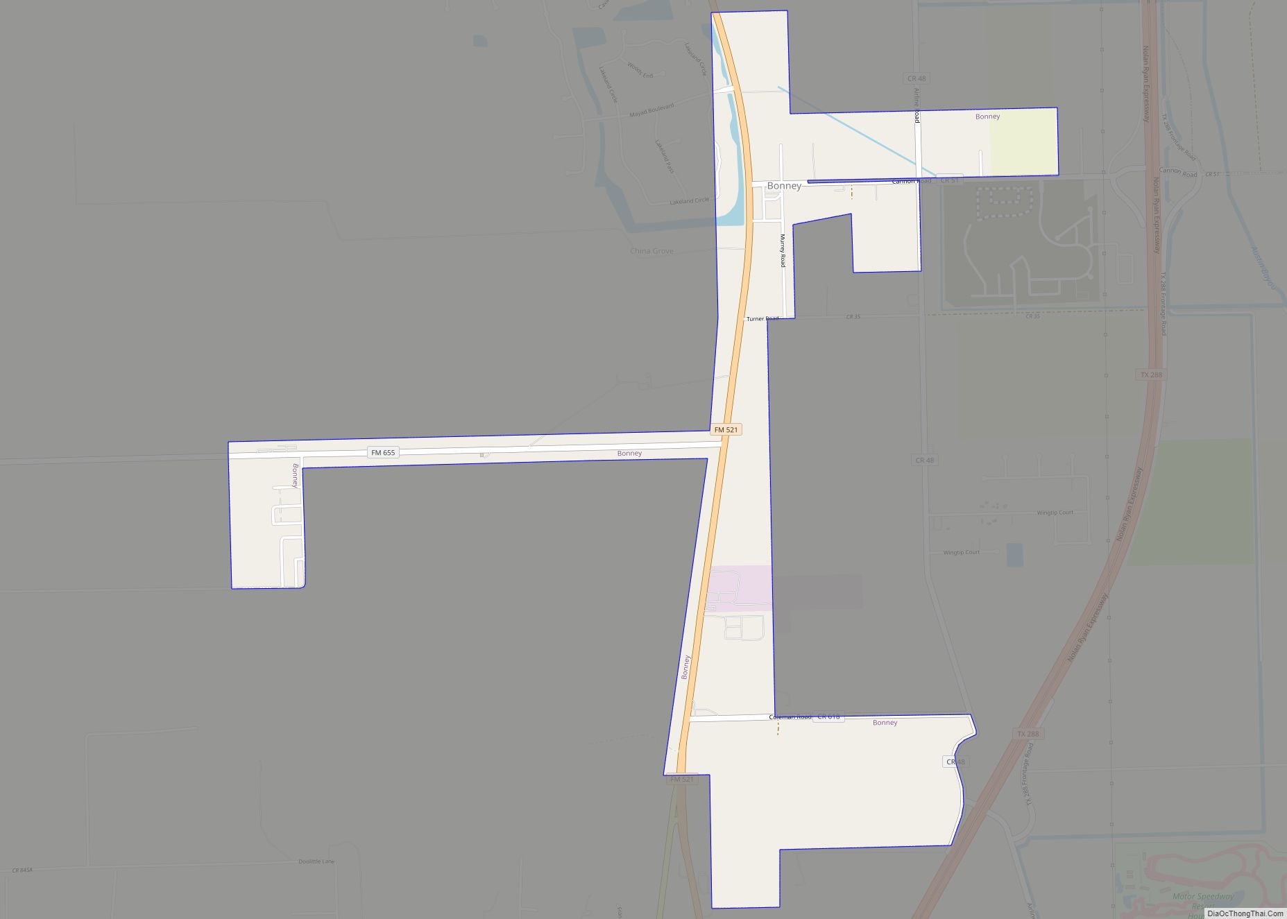
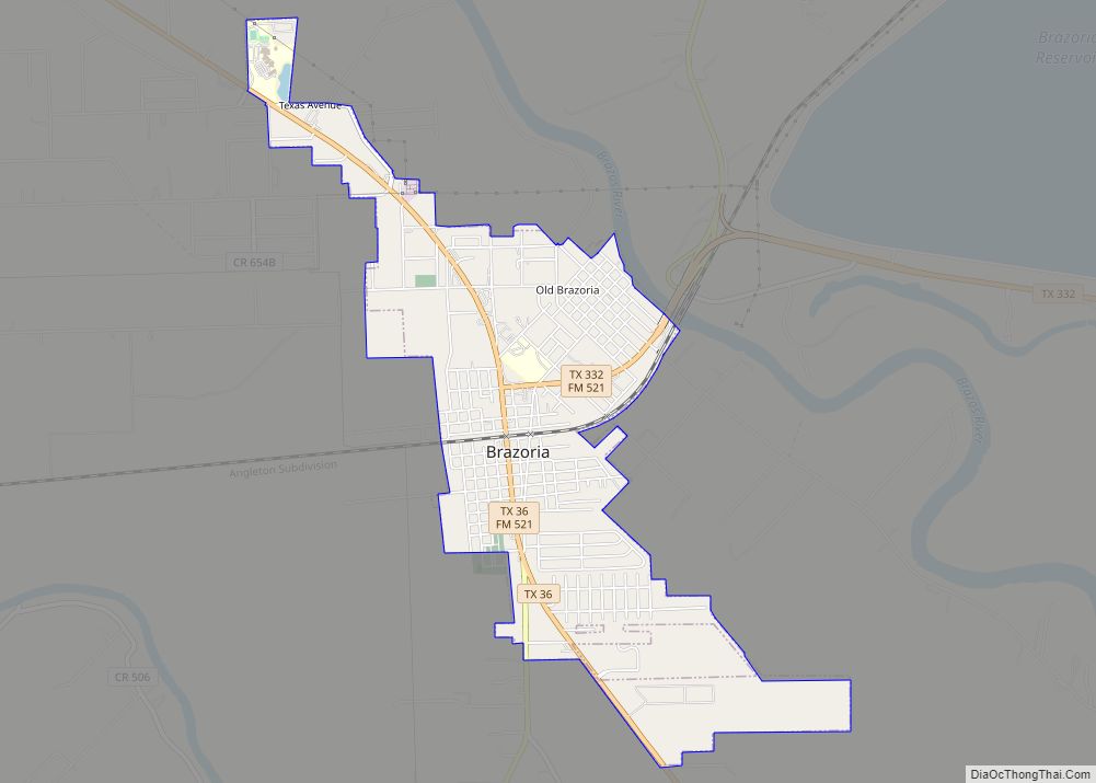
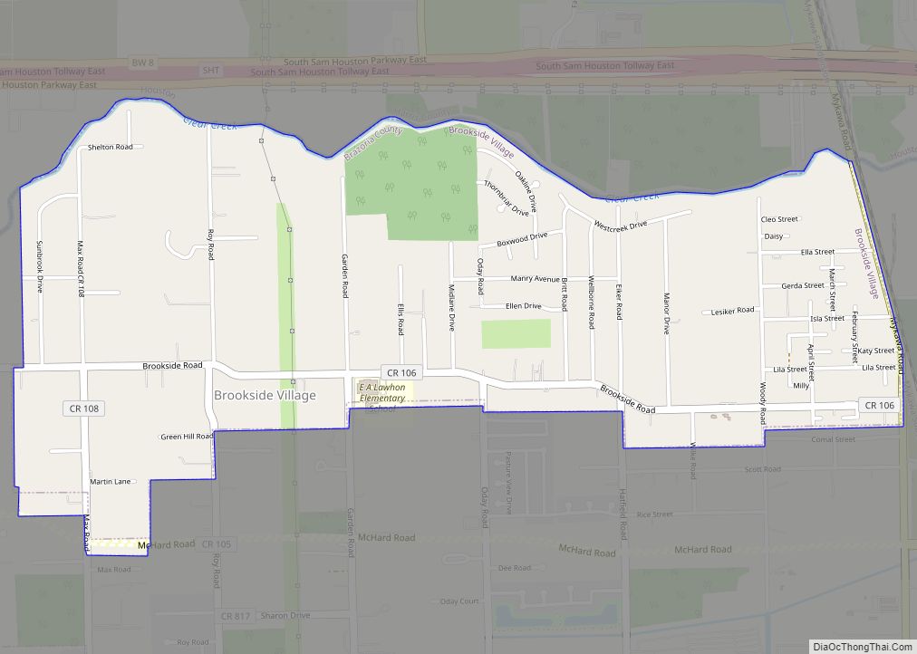
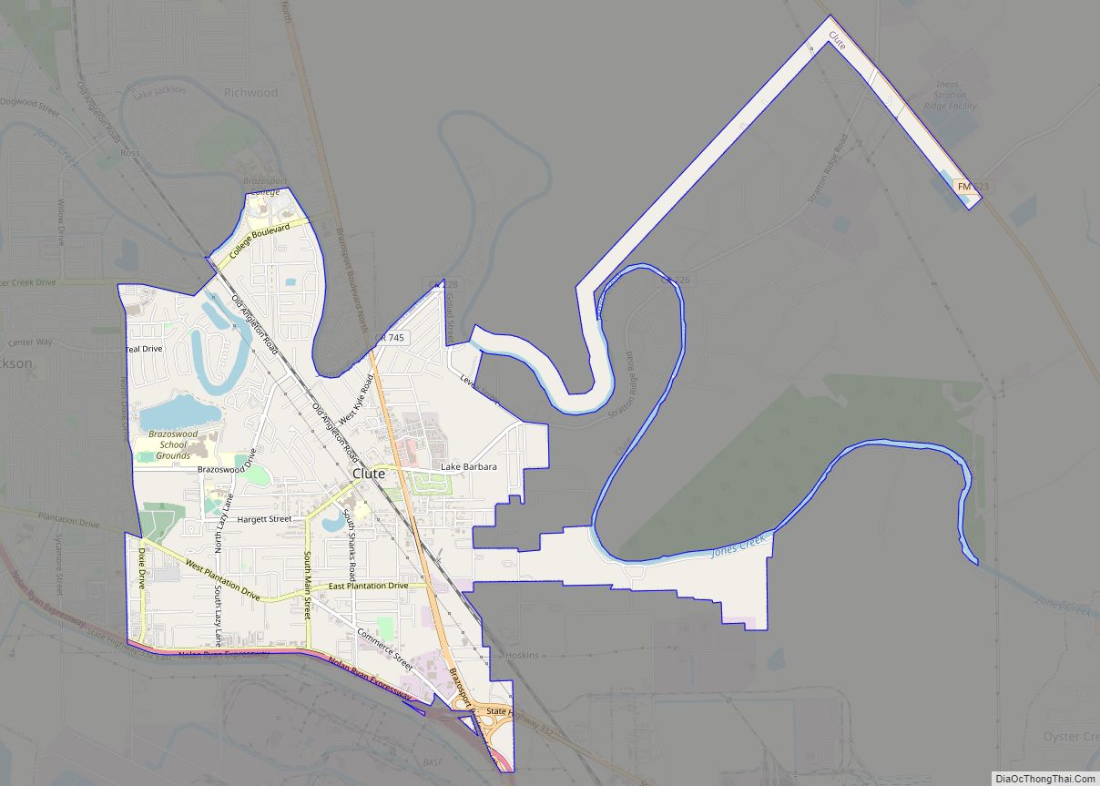
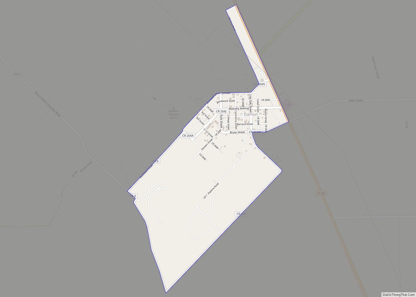
Online Interactive Map
Click on ![]() to view map in "full screen" mode.
to view map in "full screen" mode.
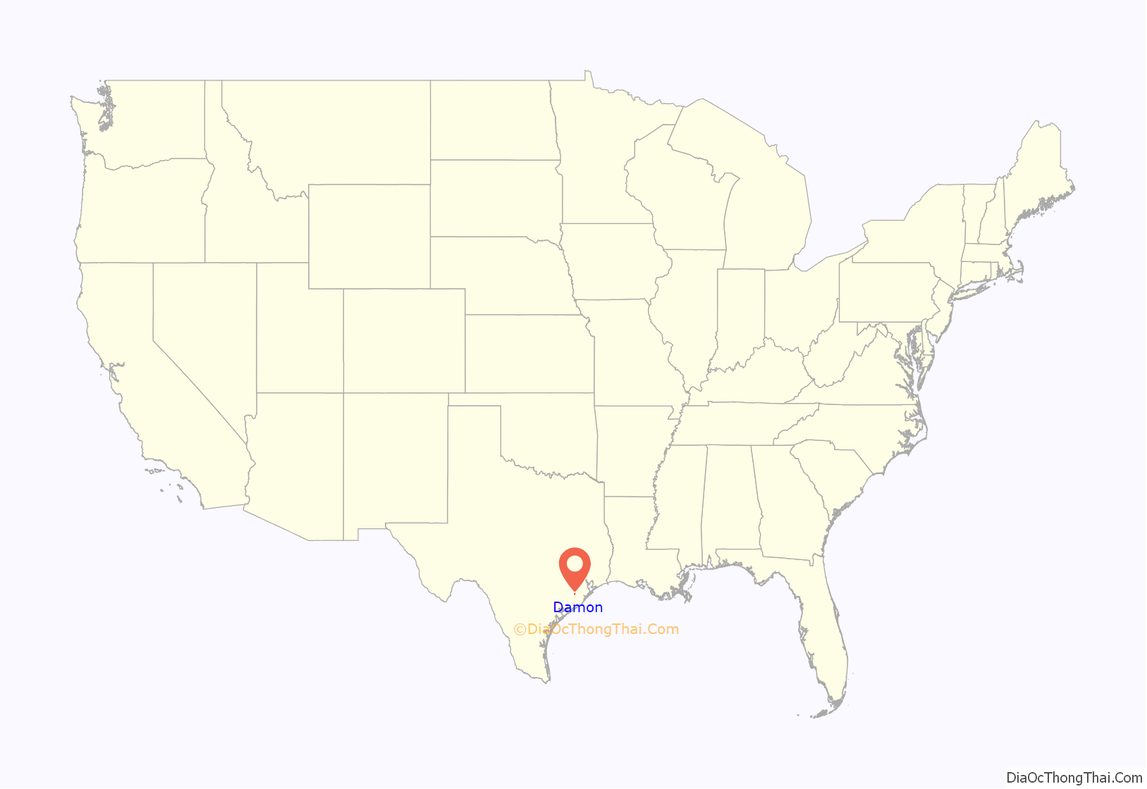
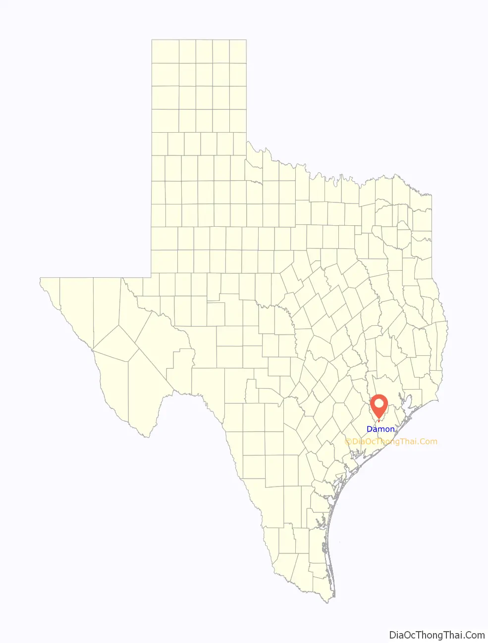
Damon location map. Where is Damon CDP?
History
The Karankawa people lived on Damon Mound before the arrival of Europeans. Arrowheads, burial grounds, broken pottery, and stone tools found in the area are evidence of their habitation. In ancient times, the mound’s sour earth was regarded by the local native peoples as having medicinal properties. This feature was caused by the presence of sulphur and other minerals near the surface.
The area was first settled by Europeans in 1831 when Samuel Damon arrived from the United States. Damon married Lorena Darst and built a home on the south side of the mound. The settlement grew until it counted 100 inhabitants in 1890 when it was called Damon Mound. At that time cattle ranching was an important business. In 1895, the post office reopened after having been closed for three years. The town was renamed Damon around that time. A Baptist church opened in 1896. In 1918 a railroad line was built from Rosenberg to Damon in order to haul away the limestone and sulphur that were quarried from the mound.
In 1925, the town had 300 residents and a Catholic church was founded. The population dipped to 260 in 1931 at which time the town had its own school district. In 1944 the railroad line was discontinued beyond Guy to the north. Nevertheless, Damon’s population reached nearly 400 from the 1940s to the 1980s. In 1989 there were 375 residents, a feed store, cotton gin, quarry and other businesses. The 2000 census reported 535 persons and Baptist, Catholic, Church of Christ, and Lutheran places of worship.
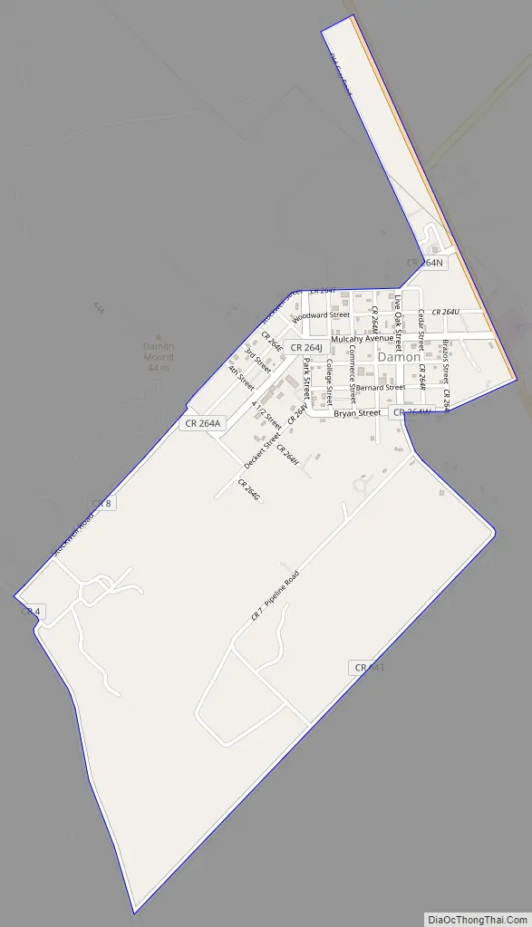
Damon Road Map
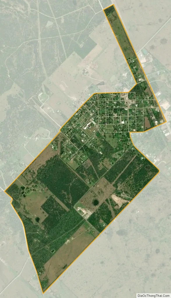
Damon city Satellite Map
Geography
Damon is located in northwestern Brazoria County at 29°17′22″N 95°44′13″W / 29.28944°N 95.73694°W / 29.28944; -95.73694 (29.289519, -95.737038). According to the United States Census Bureau, the CDP has a total area of 1.394 square miles (3.61 km), all land.
Damon is 2 miles (3.2 km) from the San Bernard River and 8 miles (13 km) from the Brazos River. The community is between Needville in Fort Bend County and West Columbia in Brazoria County.
Damon is home to the highest point in Brazoria County, Damon Mound, rising 144 feet (43.9 m) above sea level.
The west part of the town sits atop Damon Mound, the surface expression of a salt diapir or dome. The plug of salt rises through geological formations of Tertiary geologic age. The top of the salt mass is about 500 feet (152 m) below the surface and above it are limestone, gypsum, and anhydrite. Petroleum was trapped around the salt dome in sandstone and limestone layers. Five million barrels of crude oil were extracted from 85 wells in the years up to 1924. In the year 1930 alone the mound yielded 224,000 barrels of oil.
See also
Map of Texas State and its subdivision:- Anderson
- Andrews
- Angelina
- Aransas
- Archer
- Armstrong
- Atascosa
- Austin
- Bailey
- Bandera
- Bastrop
- Baylor
- Bee
- Bell
- Bexar
- Blanco
- Borden
- Bosque
- Bowie
- Brazoria
- Brazos
- Brewster
- Briscoe
- Brooks
- Brown
- Burleson
- Burnet
- Caldwell
- Calhoun
- Callahan
- Cameron
- Camp
- Carson
- Cass
- Castro
- Chambers
- Cherokee
- Childress
- Clay
- Cochran
- Coke
- Coleman
- Collin
- Collingsworth
- Colorado
- Comal
- Comanche
- Concho
- Cooke
- Coryell
- Cottle
- Crane
- Crockett
- Crosby
- Culberson
- Dallam
- Dallas
- Dawson
- Deaf Smith
- Delta
- Denton
- Dewitt
- Dickens
- Dimmit
- Donley
- Duval
- Eastland
- Ector
- Edwards
- El Paso
- Ellis
- Erath
- Falls
- Fannin
- Fayette
- Fisher
- Floyd
- Foard
- Fort Bend
- Franklin
- Freestone
- Frio
- Gaines
- Galveston
- Garza
- Gillespie
- Glasscock
- Goliad
- Gonzales
- Gray
- Grayson
- Gregg
- Grimes
- Guadalupe
- Hale
- Hall
- Hamilton
- Hansford
- Hardeman
- Hardin
- Harris
- Harrison
- Hartley
- Haskell
- Hays
- Hemphill
- Henderson
- Hidalgo
- Hill
- Hockley
- Hood
- Hopkins
- Houston
- Howard
- Hudspeth
- Hunt
- Hutchinson
- Irion
- Jack
- Jackson
- Jasper
- Jeff Davis
- Jefferson
- Jim Hogg
- Jim Wells
- Johnson
- Jones
- Karnes
- Kaufman
- Kendall
- Kenedy
- Kent
- Kerr
- Kimble
- King
- Kinney
- Kleberg
- Knox
- La Salle
- Lamar
- Lamb
- Lampasas
- Lavaca
- Lee
- Leon
- Liberty
- Limestone
- Lipscomb
- Live Oak
- Llano
- Loving
- Lubbock
- Lynn
- Madison
- Marion
- Martin
- Mason
- Matagorda
- Maverick
- McCulloch
- McLennan
- McMullen
- Medina
- Menard
- Midland
- Milam
- Mills
- Mitchell
- Montague
- Montgomery
- Moore
- Morris
- Motley
- Nacogdoches
- Navarro
- Newton
- Nolan
- Nueces
- Ochiltree
- Oldham
- Orange
- Palo Pinto
- Panola
- Parker
- Parmer
- Pecos
- Polk
- Potter
- Presidio
- Rains
- Randall
- Reagan
- Real
- Red River
- Reeves
- Refugio
- Roberts
- Robertson
- Rockwall
- Runnels
- Rusk
- Sabine
- San Augustine
- San Jacinto
- San Patricio
- San Saba
- Schleicher
- Scurry
- Shackelford
- Shelby
- Sherman
- Smith
- Somervell
- Starr
- Stephens
- Sterling
- Stonewall
- Sutton
- Swisher
- Tarrant
- Taylor
- Terrell
- Terry
- Throckmorton
- Titus
- Tom Green
- Travis
- Trinity
- Tyler
- Upshur
- Upton
- Uvalde
- Val Verde
- Van Zandt
- Victoria
- Walker
- Waller
- Ward
- Washington
- Webb
- Wharton
- Wheeler
- Wichita
- Wilbarger
- Willacy
- Williamson
- Wilson
- Winkler
- Wise
- Wood
- Yoakum
- Young
- Zapata
- Zavala
- Alabama
- Alaska
- Arizona
- Arkansas
- California
- Colorado
- Connecticut
- Delaware
- District of Columbia
- Florida
- Georgia
- Hawaii
- Idaho
- Illinois
- Indiana
- Iowa
- Kansas
- Kentucky
- Louisiana
- Maine
- Maryland
- Massachusetts
- Michigan
- Minnesota
- Mississippi
- Missouri
- Montana
- Nebraska
- Nevada
- New Hampshire
- New Jersey
- New Mexico
- New York
- North Carolina
- North Dakota
- Ohio
- Oklahoma
- Oregon
- Pennsylvania
- Rhode Island
- South Carolina
- South Dakota
- Tennessee
- Texas
- Utah
- Vermont
- Virginia
- Washington
- West Virginia
- Wisconsin
- Wyoming