El Lago is a city in Harris County, Texas, United States. The population was 3,090 at the 2020 census.
El Lago has particular historical significance as it sits on the site of one of the main hide-outs for the French pirate and privateer Jean Lafitte.
| Name: | El Lago city |
|---|---|
| LSAD Code: | 25 |
| LSAD Description: | city (suffix) |
| State: | Texas |
| County: | Harris County |
| Elevation: | 10 ft (3 m) |
| Total Area: | 0.71 sq mi (1.84 km²) |
| Land Area: | 0.64 sq mi (1.67 km²) |
| Water Area: | 0.07 sq mi (0.17 km²) |
| Total Population: | 3,090 |
| Population Density: | 4,135.09/sq mi (1,596.80/km²) |
| ZIP code: | 77586 |
| Area code: | 281 |
| FIPS code: | 4823164 |
| GNISfeature ID: | 1377176 |
| Website: | www.ellago-tx.com |
Online Interactive Map
Click on ![]() to view map in "full screen" mode.
to view map in "full screen" mode.
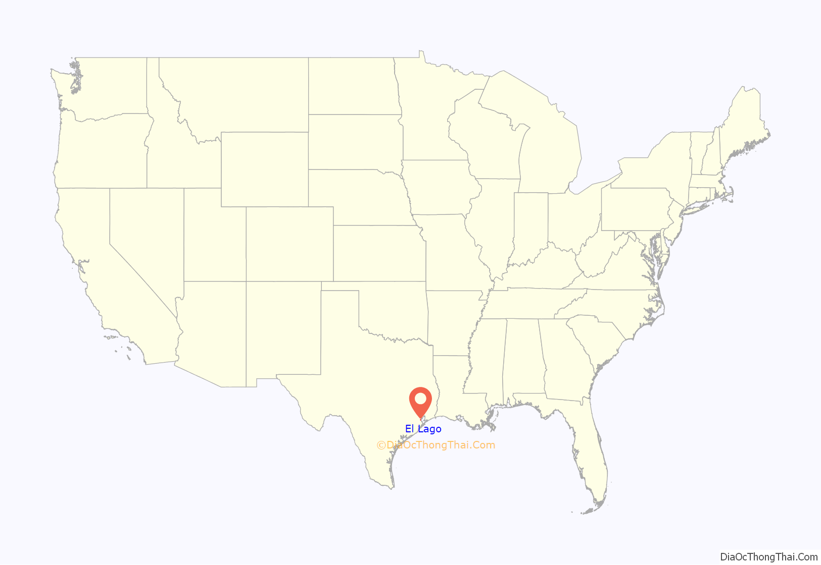
El Lago location map. Where is El Lago city?
History
The city of El Lago was established in 1961 and over the years has been home to at least 47 astronauts, including Neil Armstrong, the first person to walk on the moon; Buzz Aldrin, the lunar module pilot on the 1969 Apollo 11 mission and the second person to walk on the moon; Jim Lovell, the command module pilot of Apollo 8 (making him one of the first three humans to fly to the Moon) and commander of the Apollo 13 mission; Story Musgrave, veteran of six space shuttle flights on five different orbiters; and Peggy Whitson, who in 2017 became the first female astronaut to command the International Space Station. Many houses in the neighborhood were custom built specifically for the astronauts and their families. The local elementary school is named for Ed White, who was the first american to walk in space, and there are two parks named for astronauts. There’s the Neil Armstrong Park and McNair Memorial Park, named for astronaut Ronald McNair, who was killed when the space shuttle Challenger exploded. There is a pavilion named for Dr. Ellen Ochoa, a former astronaut and director of Johnson Space Center. In addition, the city’s logo features a space shuttle.
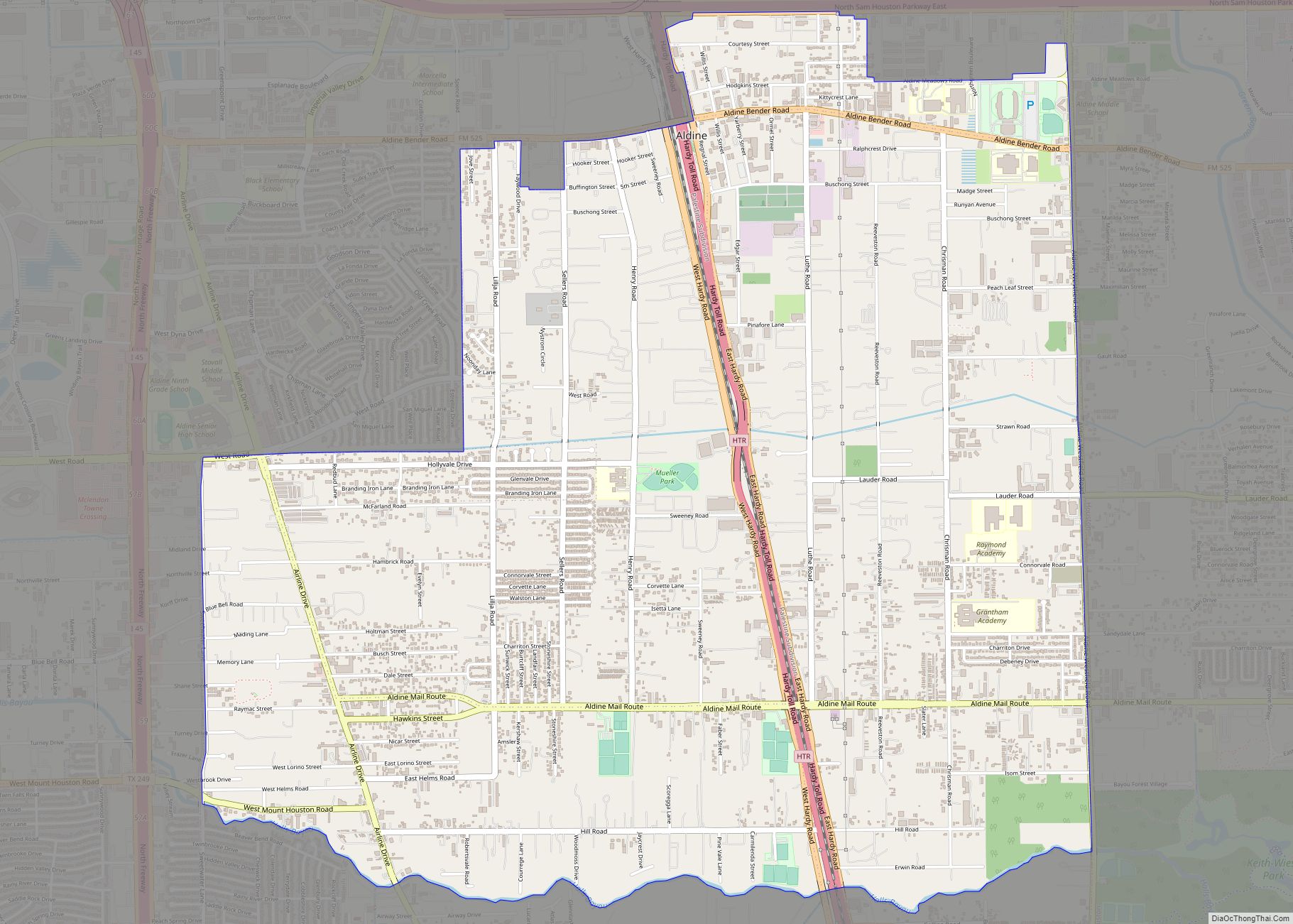
El Lago Road Map
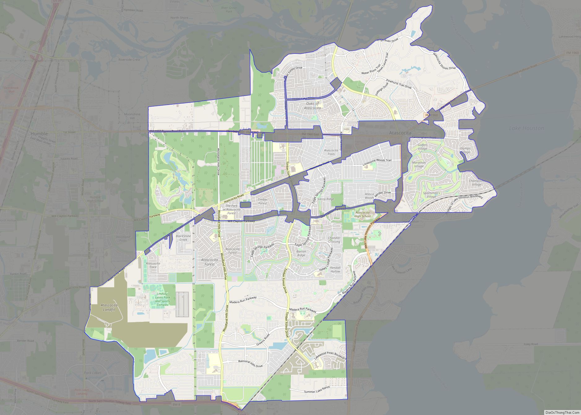
El Lago city Satellite Map
Geography
El Lago is located at 29°34′20″N 95°2′37″W / 29.57222°N 95.04361°W / 29.57222; -95.04361 (29.572147, –95.043680).
According to the United States Census Bureau, the city has a total area of 0.7 square miles (1.8 km), of which 0.6 square miles (1.6 km) is land and 0.1 square miles (0.26 km), or 8.45%, is water.
See also
Map of Texas State and its subdivision:- Anderson
- Andrews
- Angelina
- Aransas
- Archer
- Armstrong
- Atascosa
- Austin
- Bailey
- Bandera
- Bastrop
- Baylor
- Bee
- Bell
- Bexar
- Blanco
- Borden
- Bosque
- Bowie
- Brazoria
- Brazos
- Brewster
- Briscoe
- Brooks
- Brown
- Burleson
- Burnet
- Caldwell
- Calhoun
- Callahan
- Cameron
- Camp
- Carson
- Cass
- Castro
- Chambers
- Cherokee
- Childress
- Clay
- Cochran
- Coke
- Coleman
- Collin
- Collingsworth
- Colorado
- Comal
- Comanche
- Concho
- Cooke
- Coryell
- Cottle
- Crane
- Crockett
- Crosby
- Culberson
- Dallam
- Dallas
- Dawson
- Deaf Smith
- Delta
- Denton
- Dewitt
- Dickens
- Dimmit
- Donley
- Duval
- Eastland
- Ector
- Edwards
- El Paso
- Ellis
- Erath
- Falls
- Fannin
- Fayette
- Fisher
- Floyd
- Foard
- Fort Bend
- Franklin
- Freestone
- Frio
- Gaines
- Galveston
- Garza
- Gillespie
- Glasscock
- Goliad
- Gonzales
- Gray
- Grayson
- Gregg
- Grimes
- Guadalupe
- Hale
- Hall
- Hamilton
- Hansford
- Hardeman
- Hardin
- Harris
- Harrison
- Hartley
- Haskell
- Hays
- Hemphill
- Henderson
- Hidalgo
- Hill
- Hockley
- Hood
- Hopkins
- Houston
- Howard
- Hudspeth
- Hunt
- Hutchinson
- Irion
- Jack
- Jackson
- Jasper
- Jeff Davis
- Jefferson
- Jim Hogg
- Jim Wells
- Johnson
- Jones
- Karnes
- Kaufman
- Kendall
- Kenedy
- Kent
- Kerr
- Kimble
- King
- Kinney
- Kleberg
- Knox
- La Salle
- Lamar
- Lamb
- Lampasas
- Lavaca
- Lee
- Leon
- Liberty
- Limestone
- Lipscomb
- Live Oak
- Llano
- Loving
- Lubbock
- Lynn
- Madison
- Marion
- Martin
- Mason
- Matagorda
- Maverick
- McCulloch
- McLennan
- McMullen
- Medina
- Menard
- Midland
- Milam
- Mills
- Mitchell
- Montague
- Montgomery
- Moore
- Morris
- Motley
- Nacogdoches
- Navarro
- Newton
- Nolan
- Nueces
- Ochiltree
- Oldham
- Orange
- Palo Pinto
- Panola
- Parker
- Parmer
- Pecos
- Polk
- Potter
- Presidio
- Rains
- Randall
- Reagan
- Real
- Red River
- Reeves
- Refugio
- Roberts
- Robertson
- Rockwall
- Runnels
- Rusk
- Sabine
- San Augustine
- San Jacinto
- San Patricio
- San Saba
- Schleicher
- Scurry
- Shackelford
- Shelby
- Sherman
- Smith
- Somervell
- Starr
- Stephens
- Sterling
- Stonewall
- Sutton
- Swisher
- Tarrant
- Taylor
- Terrell
- Terry
- Throckmorton
- Titus
- Tom Green
- Travis
- Trinity
- Tyler
- Upshur
- Upton
- Uvalde
- Val Verde
- Van Zandt
- Victoria
- Walker
- Waller
- Ward
- Washington
- Webb
- Wharton
- Wheeler
- Wichita
- Wilbarger
- Willacy
- Williamson
- Wilson
- Winkler
- Wise
- Wood
- Yoakum
- Young
- Zapata
- Zavala
- Alabama
- Alaska
- Arizona
- Arkansas
- California
- Colorado
- Connecticut
- Delaware
- District of Columbia
- Florida
- Georgia
- Hawaii
- Idaho
- Illinois
- Indiana
- Iowa
- Kansas
- Kentucky
- Louisiana
- Maine
- Maryland
- Massachusetts
- Michigan
- Minnesota
- Mississippi
- Missouri
- Montana
- Nebraska
- Nevada
- New Hampshire
- New Jersey
- New Mexico
- New York
- North Carolina
- North Dakota
- Ohio
- Oklahoma
- Oregon
- Pennsylvania
- Rhode Island
- South Carolina
- South Dakota
- Tennessee
- Texas
- Utah
- Vermont
- Virginia
- Washington
- West Virginia
- Wisconsin
- Wyoming
