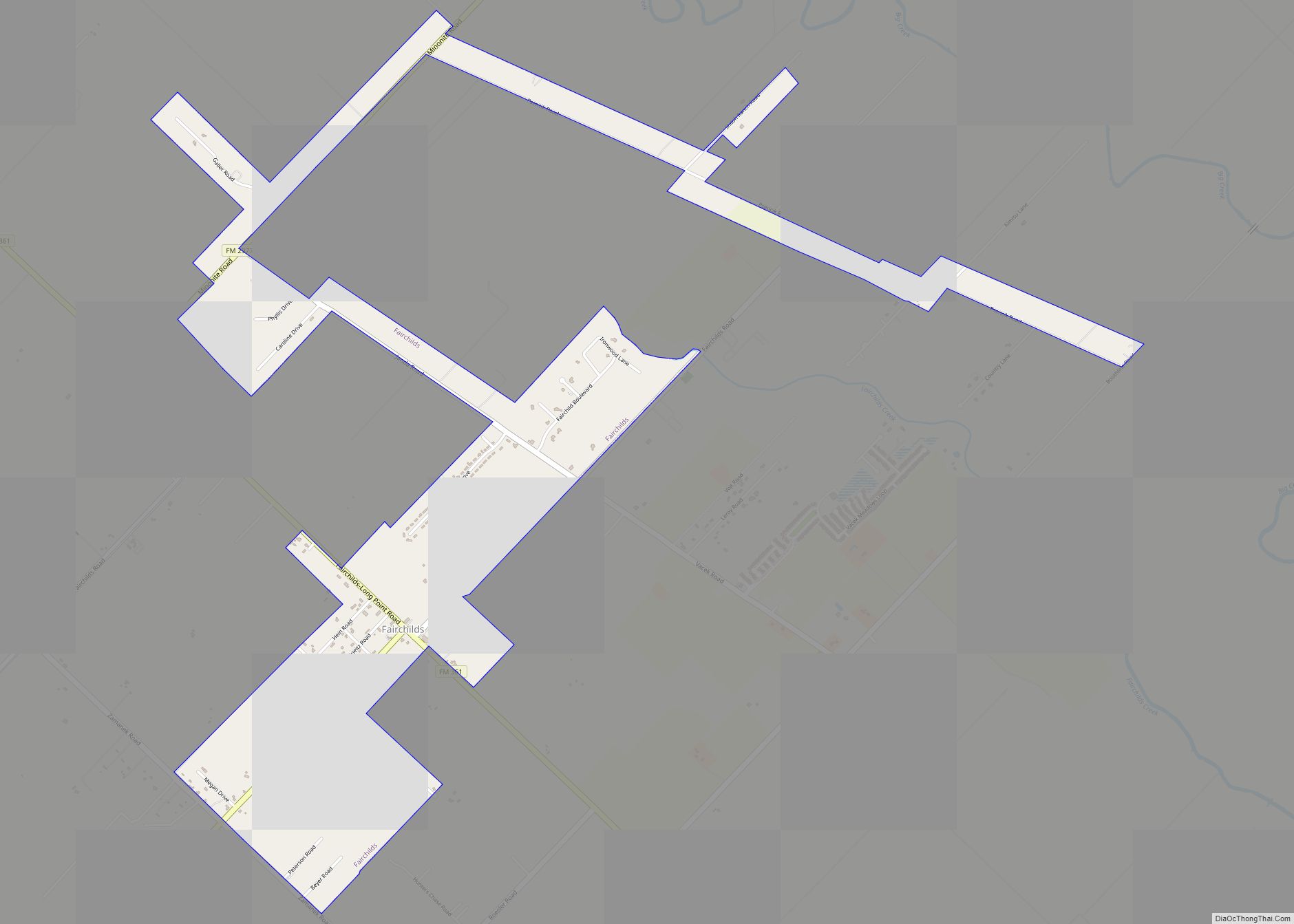
Fairchilds is a village in Fort Bend County, Texas, United States, within the Houston–Sugar Land–Baytown metropolitan area. The population was 763 at the 2010 census, up from 678 at the 2000 census. As of 2018 the population had risen to an estimated 1,224.
The center of Fairchilds is located 4 miles (6 km) northeast of Needville at the intersection of Farm to Market Road 361 (Fairchilds-Long Point Road) and Needville-Fairchilds Road. The Fairchild Farmer Co-op Gin and a few other businesses can be found near the intersection. Established in 1890 by three men of German descent, the community is named after a man who settled there around 1840.
| Name: | Fairchilds village |
|---|---|
| LSAD Code: | 47 |
| LSAD Description: | village (suffix) |
| State: | Texas |
| County: | Fort Bend County |
| Elevation: | 79 ft (24 m) |
| Total Area: | 2.15 sq mi (5.57 km²) |
| Land Area: | 2.14 sq mi (5.55 km²) |
| Water Area: | 0.01 sq mi (0.02 km²) |
| Total Population: | 763 |
| Population Density: | 605.23/sq mi (233.70/km²) |
| ZIP code: | 77461 |
| Area code: | 979 |
| FIPS code: | 4825068 |
| GNISfeature ID: | 1378280 |
| Website: | https://fairchildstx.com/ |
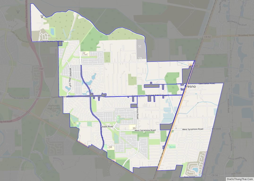
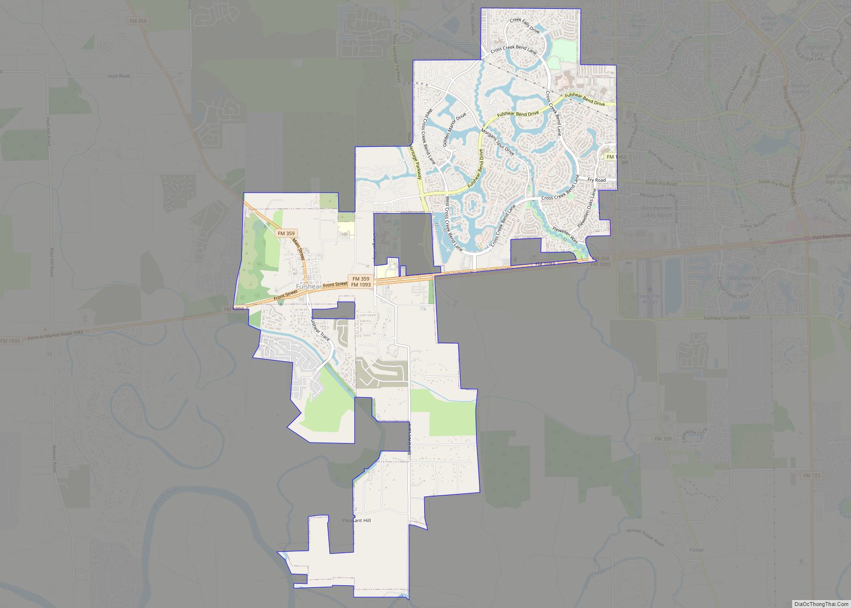
Online Interactive Map
Click on ![]() to view map in "full screen" mode.
to view map in "full screen" mode.
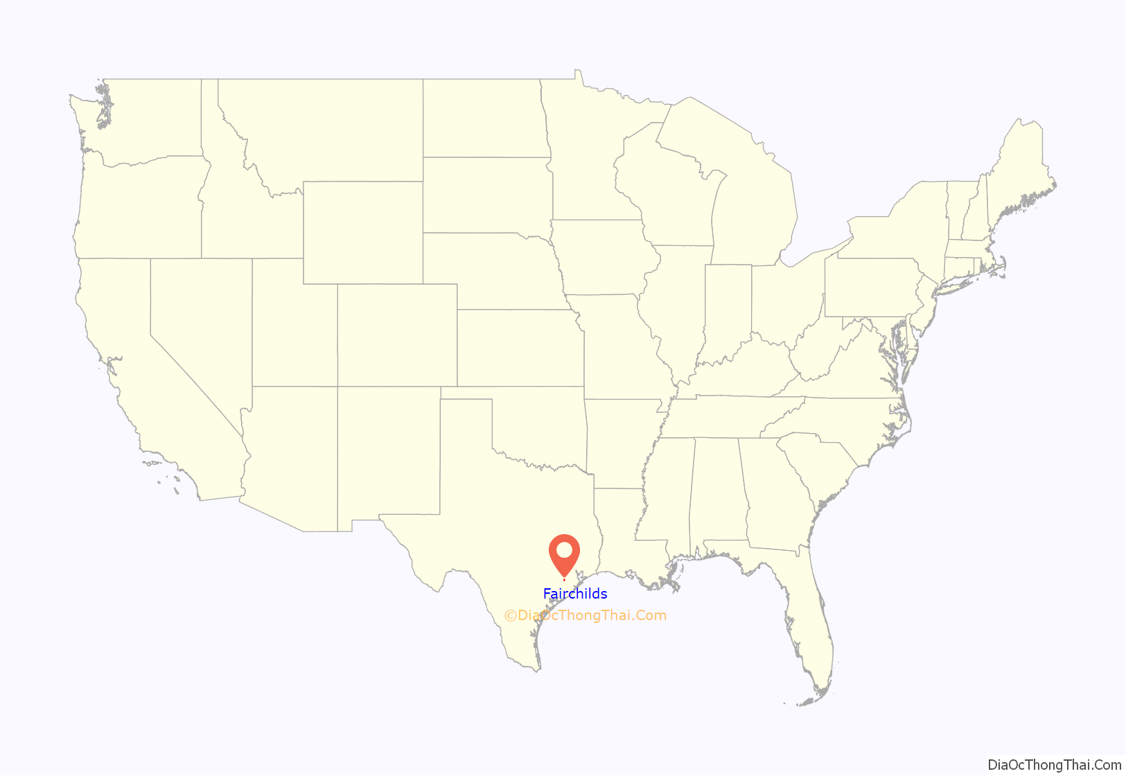
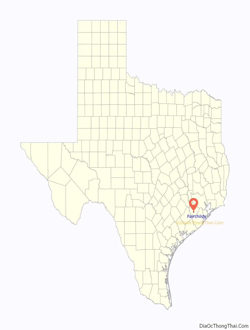
Fairchilds location map. Where is Fairchilds village?
History
The village is named after Philo Fairchilds who settled there around 1840. He built a house approximately one mile south of the present-day community. Theo Aderholz, August Bede and Charles Blohm founded the original settlement in 1890. A group of Mennonites from the north established a colony in 1896 by buying property on Big Creek. Soon about fifty families were working the land. They built roads, businesses, and schools, including separate ones for white and black children. After a malaria epidemic swept the area, the Galveston Hurricane of 1900 wrecked most of the town. Most of the unlucky Mennonites abandoned the site; only a few stayed. A post office served the village from 1912 to 1918 when it closed. In 1914 the community had one general store. By 1936 there were four businesses and about 25 people living in Fairchilds. Between 1940 and 1953, the village’s population grew from 75 to 125. In the 1960s there were 110 people in the community. In 1990, Fairchilds had 150 inhabitants with a cafe and three stores selling tires, feed and general goods.
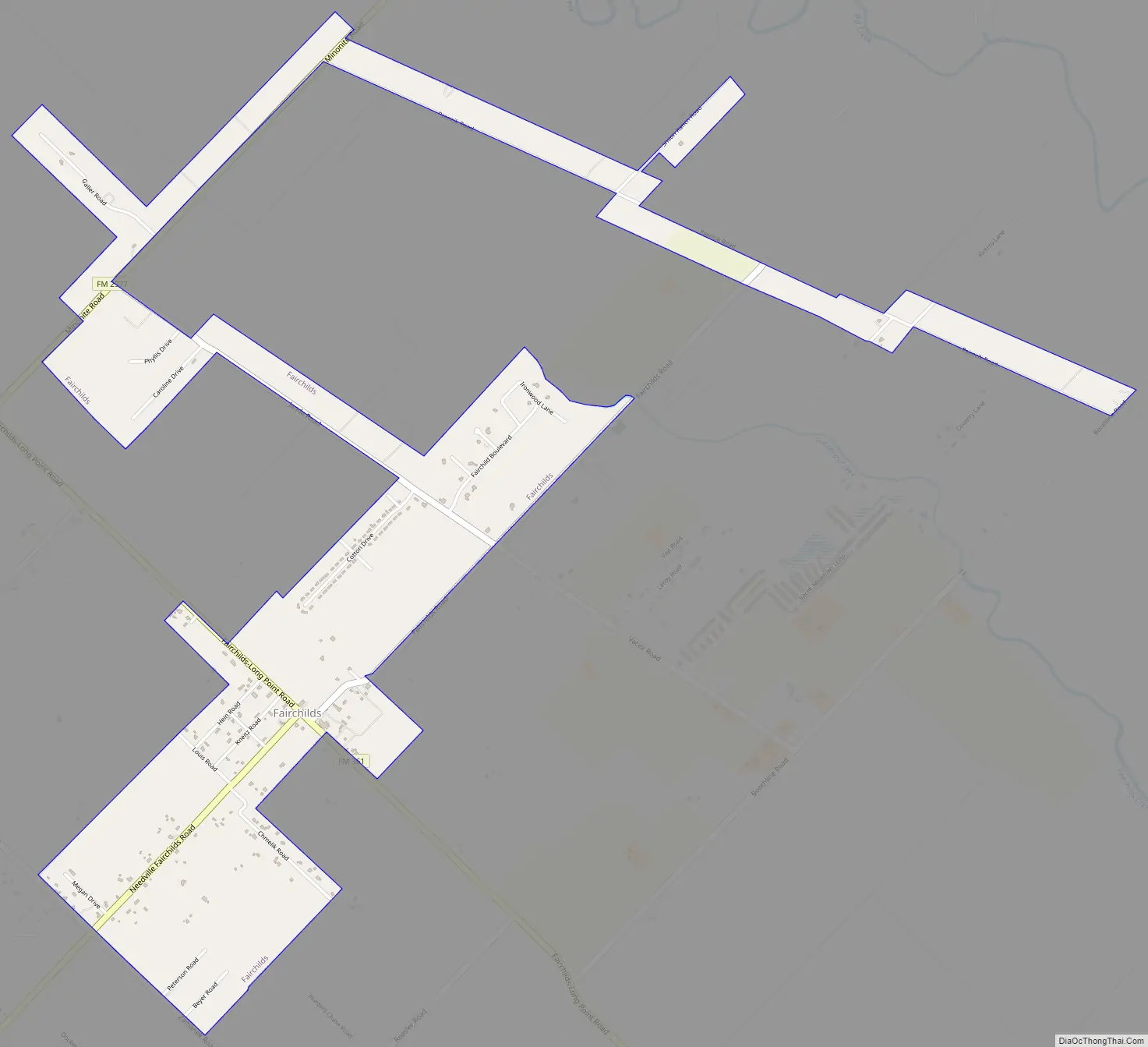
Fairchilds Road Map
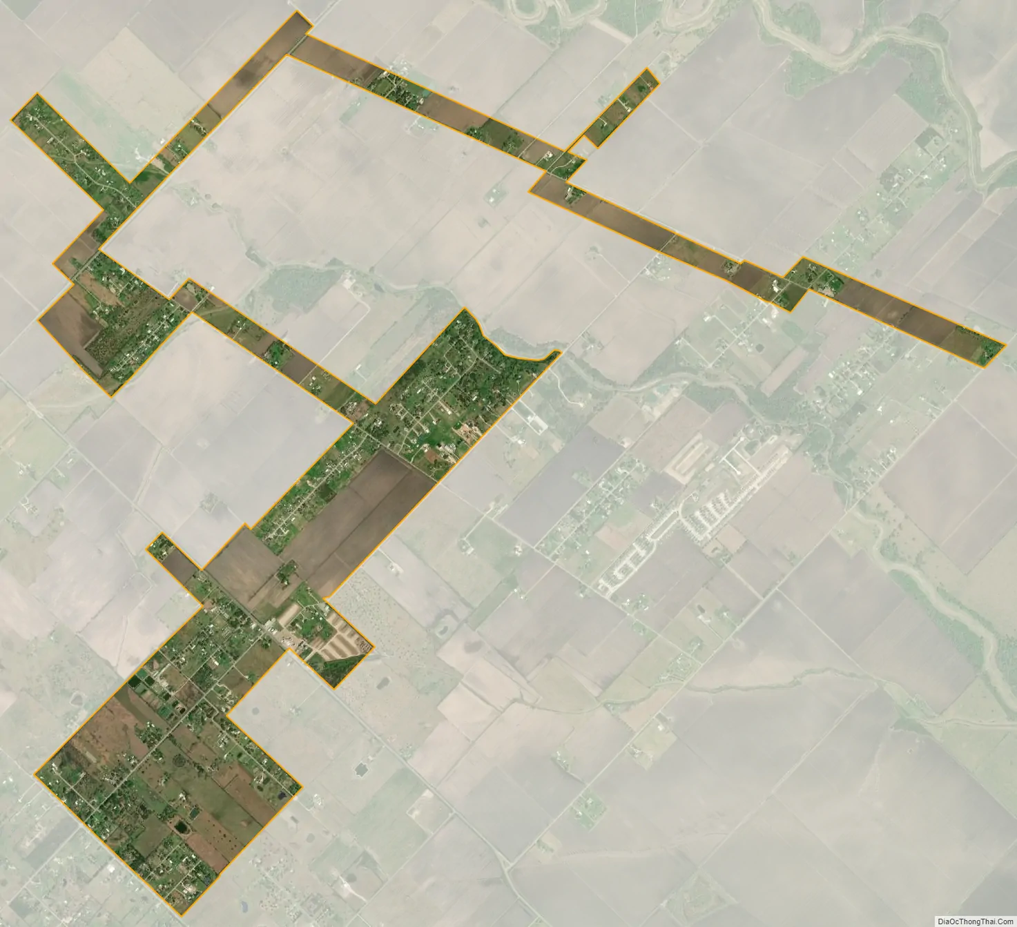
Fairchilds city Satellite Map
Geography
Fairchilds is located in south-central Fort Bend County at 29°26′47″N 95°46′45″W / 29.44639°N 95.77917°W / 29.44639; -95.77917 (29.446300, –95.779208). According to the United States Census Bureau, the village has a total area of 2.0 square miles (5.2 km), of which 0.01 square miles (0.02 km), or 0.31%, is water.
FM 361 starts at Farm to Market Road 1994 in Long Point to the southeast of Fairchilds. It runs in a nearly straight line through the center of the village and continues to the northwest where it feeds into Texas State Highway 36 south of Pleak. The Needville-Fairchilds Road goes southwest from the center of Fairchilds toward Needville while the Fairchilds Road heads to the northeast. Most area roads conform to the diagonal road net. The Janda Country Estates and Fairchild Manor subdivisions are located to the northeast. Many local roads bear German names like Hein, Kneitz, Beyer, Roesler and Oberrender, or Czech names such as Chmelik, Janda, Zamanek, Psencik and Vacek.
Big Creek, a tributary of the Brazos River, flows through the area from Pleak to the southeast, passing along the northeast edge of Fairchilds. Nearer to the village is Fairchilds Creek which flows northeast, then southeast and joins Big Creek to the southeast.
See also
Map of Texas State and its subdivision:- Anderson
- Andrews
- Angelina
- Aransas
- Archer
- Armstrong
- Atascosa
- Austin
- Bailey
- Bandera
- Bastrop
- Baylor
- Bee
- Bell
- Bexar
- Blanco
- Borden
- Bosque
- Bowie
- Brazoria
- Brazos
- Brewster
- Briscoe
- Brooks
- Brown
- Burleson
- Burnet
- Caldwell
- Calhoun
- Callahan
- Cameron
- Camp
- Carson
- Cass
- Castro
- Chambers
- Cherokee
- Childress
- Clay
- Cochran
- Coke
- Coleman
- Collin
- Collingsworth
- Colorado
- Comal
- Comanche
- Concho
- Cooke
- Coryell
- Cottle
- Crane
- Crockett
- Crosby
- Culberson
- Dallam
- Dallas
- Dawson
- Deaf Smith
- Delta
- Denton
- Dewitt
- Dickens
- Dimmit
- Donley
- Duval
- Eastland
- Ector
- Edwards
- El Paso
- Ellis
- Erath
- Falls
- Fannin
- Fayette
- Fisher
- Floyd
- Foard
- Fort Bend
- Franklin
- Freestone
- Frio
- Gaines
- Galveston
- Garza
- Gillespie
- Glasscock
- Goliad
- Gonzales
- Gray
- Grayson
- Gregg
- Grimes
- Guadalupe
- Hale
- Hall
- Hamilton
- Hansford
- Hardeman
- Hardin
- Harris
- Harrison
- Hartley
- Haskell
- Hays
- Hemphill
- Henderson
- Hidalgo
- Hill
- Hockley
- Hood
- Hopkins
- Houston
- Howard
- Hudspeth
- Hunt
- Hutchinson
- Irion
- Jack
- Jackson
- Jasper
- Jeff Davis
- Jefferson
- Jim Hogg
- Jim Wells
- Johnson
- Jones
- Karnes
- Kaufman
- Kendall
- Kenedy
- Kent
- Kerr
- Kimble
- King
- Kinney
- Kleberg
- Knox
- La Salle
- Lamar
- Lamb
- Lampasas
- Lavaca
- Lee
- Leon
- Liberty
- Limestone
- Lipscomb
- Live Oak
- Llano
- Loving
- Lubbock
- Lynn
- Madison
- Marion
- Martin
- Mason
- Matagorda
- Maverick
- McCulloch
- McLennan
- McMullen
- Medina
- Menard
- Midland
- Milam
- Mills
- Mitchell
- Montague
- Montgomery
- Moore
- Morris
- Motley
- Nacogdoches
- Navarro
- Newton
- Nolan
- Nueces
- Ochiltree
- Oldham
- Orange
- Palo Pinto
- Panola
- Parker
- Parmer
- Pecos
- Polk
- Potter
- Presidio
- Rains
- Randall
- Reagan
- Real
- Red River
- Reeves
- Refugio
- Roberts
- Robertson
- Rockwall
- Runnels
- Rusk
- Sabine
- San Augustine
- San Jacinto
- San Patricio
- San Saba
- Schleicher
- Scurry
- Shackelford
- Shelby
- Sherman
- Smith
- Somervell
- Starr
- Stephens
- Sterling
- Stonewall
- Sutton
- Swisher
- Tarrant
- Taylor
- Terrell
- Terry
- Throckmorton
- Titus
- Tom Green
- Travis
- Trinity
- Tyler
- Upshur
- Upton
- Uvalde
- Val Verde
- Van Zandt
- Victoria
- Walker
- Waller
- Ward
- Washington
- Webb
- Wharton
- Wheeler
- Wichita
- Wilbarger
- Willacy
- Williamson
- Wilson
- Winkler
- Wise
- Wood
- Yoakum
- Young
- Zapata
- Zavala
- Alabama
- Alaska
- Arizona
- Arkansas
- California
- Colorado
- Connecticut
- Delaware
- District of Columbia
- Florida
- Georgia
- Hawaii
- Idaho
- Illinois
- Indiana
- Iowa
- Kansas
- Kentucky
- Louisiana
- Maine
- Maryland
- Massachusetts
- Michigan
- Minnesota
- Mississippi
- Missouri
- Montana
- Nebraska
- Nevada
- New Hampshire
- New Jersey
- New Mexico
- New York
- North Carolina
- North Dakota
- Ohio
- Oklahoma
- Oregon
- Pennsylvania
- Rhode Island
- South Carolina
- South Dakota
- Tennessee
- Texas
- Utah
- Vermont
- Virginia
- Washington
- West Virginia
- Wisconsin
- Wyoming