Highlands is a census-designated place (CDP) located along the Union Pacific Railroad, north of Interstate 10 and west of Farm to Market Road 2100, in an industrialized area of unincorporated Harris County, Texas, United States. The population was 8,612 at the 2020 census.
| Name: | Highlands CDP |
|---|---|
| LSAD Code: | 57 |
| LSAD Description: | CDP (suffix) |
| State: | Texas |
| County: | Harris County |
| Elevation: | 36 ft (11 m) |
| Total Area: | 6.5 sq mi (16.9 km²) |
| Land Area: | 4.9 sq mi (12.6 km²) |
| Water Area: | 1.7 sq mi (4.3 km²) |
| Total Population: | 8,612 |
| Population Density: | 1,300/sq mi (510/km²) |
| ZIP code: | 77562 |
| Area code: | 281 |
| FIPS code: | 4833836 |
| GNISfeature ID: | 1337750 |
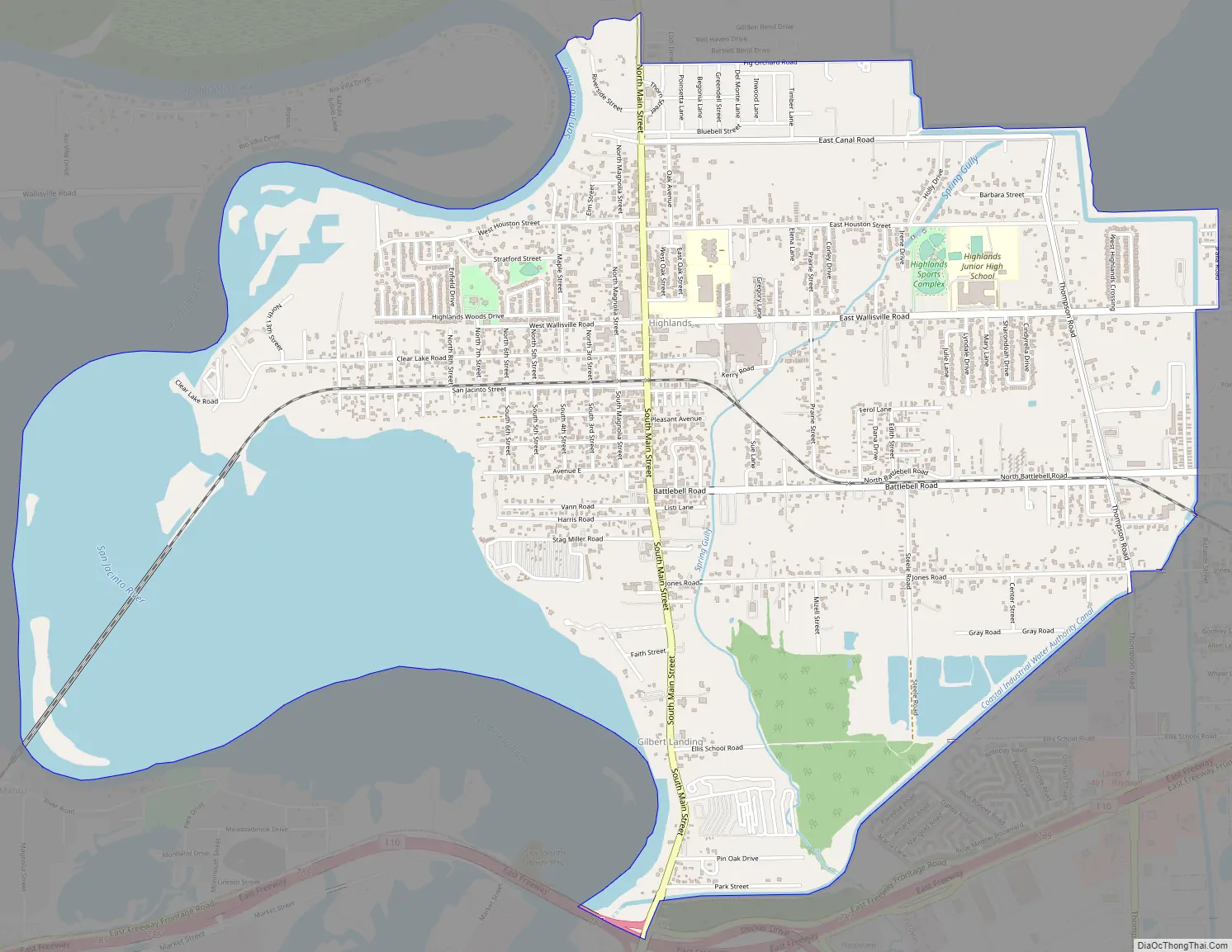
Online Interactive Map
Click on ![]() to view map in "full screen" mode.
to view map in "full screen" mode.
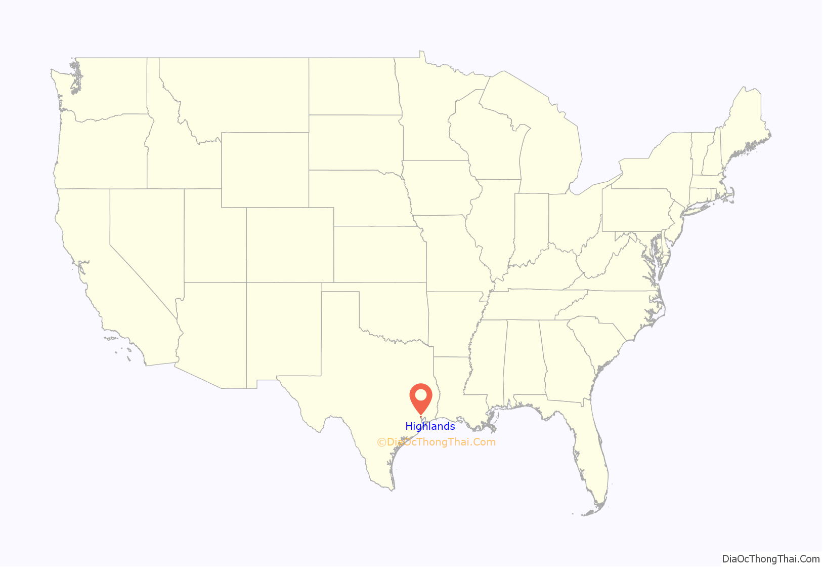
Highlands location map. Where is Highlands CDP?
History
The community was named Highlands because the east bank of the San Jacinto River, where Highlands is located, has a higher elevation than the west bank of the river. By 1908 Highlands became a station on the Beaumont, Sour Lake and Western Railway. A post office opened in 1929. Highlands incorporated in 1930, but its charter was voided, leaving Highlands as unincorporated again. In the 1930s Highlands had 20 businesses and its population decreased from 350 to 200. The 1936 Harris County highway map indicated two churches, a factory, a school, and a sawmill in Highlands. Highlands housed military members and war plant personnel during World War II. By 1948 Highlands had 3,000 residents and 75 businesses. In the 1950s local business decreased and the population decreased to 2,723. A 1956 attempt for Highlands to incorporate did not pass. In the 1960s Highlands had a canning sales company and an industrial chemical company. In the early 1960s Highlands had 4,336 residents and 82 businesses. In 1965 W. O. Hutson built the Double Trouble Youth Rodeo Arena. In the early 1970s Highlands had 3,462 residents and 66 businesses. By 1977 Highlands had 5,000 residents; in 1989 Highlands reported the same population. In 1990 Highlands had an estimated population of 6,632.
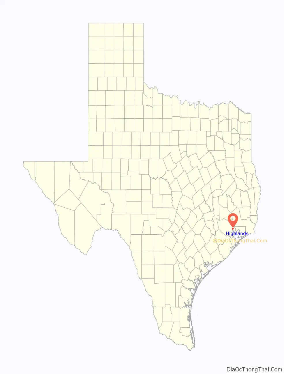
Highlands Road Map
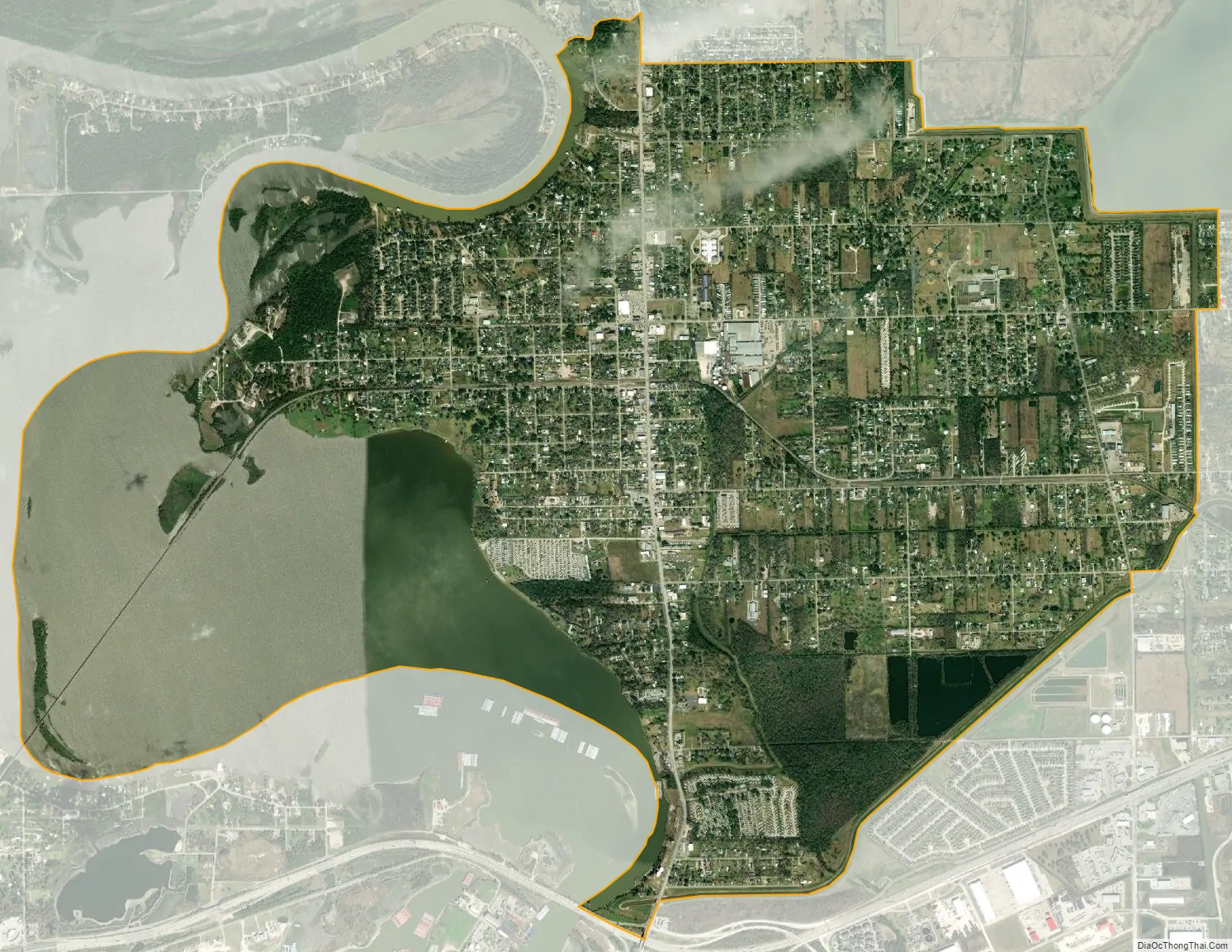
Highlands city Satellite Map
Geography
Highlands is located at 29°49′0″N 95°3′34″W / 29.81667°N 95.05944°W / 29.81667; -95.05944 (29.816803, -95.059362).
According to the United States Census Bureau, the CDP has a total area of 6.5 square miles (16.9 km), of which 4.9 square miles (12.6 km) is land and 1.7 square miles (4.3 km), or 25.18%, is water. Highlands is located on the banks of the San Jacinto River and the Houston Ship Channel. The majority of the land in Highlands is on a high river bank. The historic Lynchburg Ferry is nearby.
See also
Map of Texas State and its subdivision:- Anderson
- Andrews
- Angelina
- Aransas
- Archer
- Armstrong
- Atascosa
- Austin
- Bailey
- Bandera
- Bastrop
- Baylor
- Bee
- Bell
- Bexar
- Blanco
- Borden
- Bosque
- Bowie
- Brazoria
- Brazos
- Brewster
- Briscoe
- Brooks
- Brown
- Burleson
- Burnet
- Caldwell
- Calhoun
- Callahan
- Cameron
- Camp
- Carson
- Cass
- Castro
- Chambers
- Cherokee
- Childress
- Clay
- Cochran
- Coke
- Coleman
- Collin
- Collingsworth
- Colorado
- Comal
- Comanche
- Concho
- Cooke
- Coryell
- Cottle
- Crane
- Crockett
- Crosby
- Culberson
- Dallam
- Dallas
- Dawson
- Deaf Smith
- Delta
- Denton
- Dewitt
- Dickens
- Dimmit
- Donley
- Duval
- Eastland
- Ector
- Edwards
- El Paso
- Ellis
- Erath
- Falls
- Fannin
- Fayette
- Fisher
- Floyd
- Foard
- Fort Bend
- Franklin
- Freestone
- Frio
- Gaines
- Galveston
- Garza
- Gillespie
- Glasscock
- Goliad
- Gonzales
- Gray
- Grayson
- Gregg
- Grimes
- Guadalupe
- Hale
- Hall
- Hamilton
- Hansford
- Hardeman
- Hardin
- Harris
- Harrison
- Hartley
- Haskell
- Hays
- Hemphill
- Henderson
- Hidalgo
- Hill
- Hockley
- Hood
- Hopkins
- Houston
- Howard
- Hudspeth
- Hunt
- Hutchinson
- Irion
- Jack
- Jackson
- Jasper
- Jeff Davis
- Jefferson
- Jim Hogg
- Jim Wells
- Johnson
- Jones
- Karnes
- Kaufman
- Kendall
- Kenedy
- Kent
- Kerr
- Kimble
- King
- Kinney
- Kleberg
- Knox
- La Salle
- Lamar
- Lamb
- Lampasas
- Lavaca
- Lee
- Leon
- Liberty
- Limestone
- Lipscomb
- Live Oak
- Llano
- Loving
- Lubbock
- Lynn
- Madison
- Marion
- Martin
- Mason
- Matagorda
- Maverick
- McCulloch
- McLennan
- McMullen
- Medina
- Menard
- Midland
- Milam
- Mills
- Mitchell
- Montague
- Montgomery
- Moore
- Morris
- Motley
- Nacogdoches
- Navarro
- Newton
- Nolan
- Nueces
- Ochiltree
- Oldham
- Orange
- Palo Pinto
- Panola
- Parker
- Parmer
- Pecos
- Polk
- Potter
- Presidio
- Rains
- Randall
- Reagan
- Real
- Red River
- Reeves
- Refugio
- Roberts
- Robertson
- Rockwall
- Runnels
- Rusk
- Sabine
- San Augustine
- San Jacinto
- San Patricio
- San Saba
- Schleicher
- Scurry
- Shackelford
- Shelby
- Sherman
- Smith
- Somervell
- Starr
- Stephens
- Sterling
- Stonewall
- Sutton
- Swisher
- Tarrant
- Taylor
- Terrell
- Terry
- Throckmorton
- Titus
- Tom Green
- Travis
- Trinity
- Tyler
- Upshur
- Upton
- Uvalde
- Val Verde
- Van Zandt
- Victoria
- Walker
- Waller
- Ward
- Washington
- Webb
- Wharton
- Wheeler
- Wichita
- Wilbarger
- Willacy
- Williamson
- Wilson
- Winkler
- Wise
- Wood
- Yoakum
- Young
- Zapata
- Zavala
- Alabama
- Alaska
- Arizona
- Arkansas
- California
- Colorado
- Connecticut
- Delaware
- District of Columbia
- Florida
- Georgia
- Hawaii
- Idaho
- Illinois
- Indiana
- Iowa
- Kansas
- Kentucky
- Louisiana
- Maine
- Maryland
- Massachusetts
- Michigan
- Minnesota
- Mississippi
- Missouri
- Montana
- Nebraska
- Nevada
- New Hampshire
- New Jersey
- New Mexico
- New York
- North Carolina
- North Dakota
- Ohio
- Oklahoma
- Oregon
- Pennsylvania
- Rhode Island
- South Carolina
- South Dakota
- Tennessee
- Texas
- Utah
- Vermont
- Virginia
- Washington
- West Virginia
- Wisconsin
- Wyoming


