Huntsville is a city in and the county seat of Walker County, Texas. The population was 45,941 as of the 2020 census. It is the center of the Huntsville micropolitan area. Huntsville is in the East Texas Piney Woods on Interstate 45 and home to Texas State Prison, Sam Houston State University, the Texas Department of Criminal Justice, Huntsville State Park, and HEARTS Veterans Museum of Texas.
The city served as the residence of Sam Houston, who is recognized in Huntsville by the Sam Houston Memorial Museum and a statue on Interstate 45.
| Name: | Huntsville city |
|---|---|
| LSAD Code: | 25 |
| LSAD Description: | city (suffix) |
| State: | Texas |
| County: | Walker County |
| Elevation: | 371 ft (113 m) |
| Total Area: | 43.43 sq mi (112.47 km²) |
| Land Area: | 42.59 sq mi (110.30 km²) |
| Water Area: | 0.84 sq mi (2.17 km²) |
| Total Population: | 45,941 |
| Population Density: | 991.88/sq mi (382.97/km²) |
| Area code: | 936 |
| FIPS code: | 4835528 |
| GNISfeature ID: | 1382049 |
| Website: | www.huntsvilletx.gov |
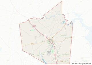
Online Interactive Map
Click on ![]() to view map in "full screen" mode.
to view map in "full screen" mode.
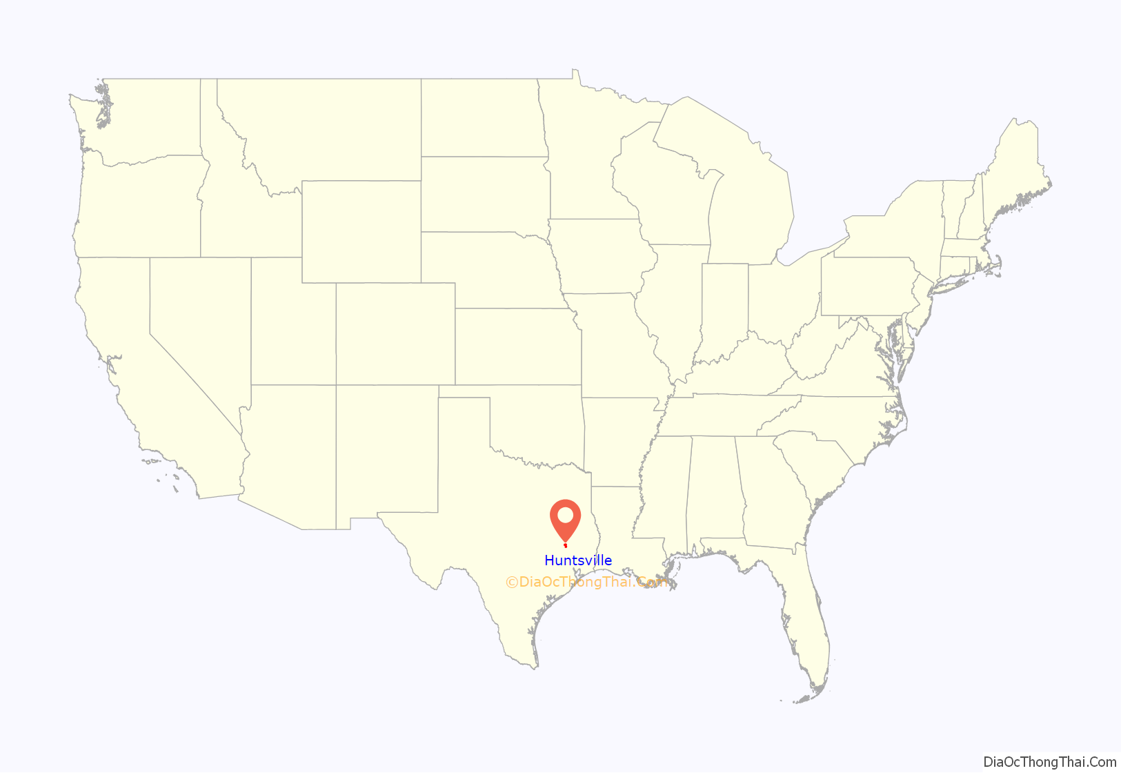
Huntsville location map. Where is Huntsville city?
History
The city had its beginning around 1836, when Pleasant and Ephraim Gray opened a trading post on the site. Ephraim Gray became first postmaster in 1837, naming it after his hometown, Huntsville, Alabama.
Huntsville became the home of Sam Houston, who served as President of the Republic of Texas, Governor of the State of Texas, Governor of Tennessee, U.S. Senator, and Tennessee congressman. Houston led the Texas Army in the Battle of San Jacinto, the decisive victory of the Texas Revolution. He has been noted for his life among the Cherokees of Tennessee, and— near the end of his life — for his opposition to the American Civil War, a very unpopular position in his day. Huntsville has two of Houston’s homes, his grave, and the Sam Houston Memorial Museum. Houston’s life in Huntsville is also commemorated by his namesake Sam Houston State University, and by a 70 ft (21 m) statue. (The towering statue, “A Tribute to Courage” by artist David Adickes, has been described as the world’s largest statue of an American hero, and is easily viewed by travelers on Interstate 45.)
Huntsville was also the home of Samuel Walker Houston (1864–1945), a prominent African-American pioneer in the field of education. He was born into slavery on February 12, 1864 to Joshua Houston, a slave owned by Sam Houston. Samuel W. Houston founded the Galilee Community School in 1907, which later became known as the Houstonian Normal and Industrial Institute, in Walker County, Texas.
In 1995, on the grounds of the old Samuel W. Houston Elementary School, the Huntsville Independent School District, along with the Huntsville Arts Commission and the high school’s Ex-Students Association, commissioned the creation of The Dreamers, a monument to underscore the black community’s contributions to the growth and development of Huntsville and Walker County.
After a book display at the Huntsville Public Library (HPL) riled up city officials in 2022, the library removed two book displays. Following the removal of the two book displays, the city decided to privatize the library.
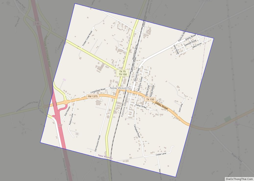
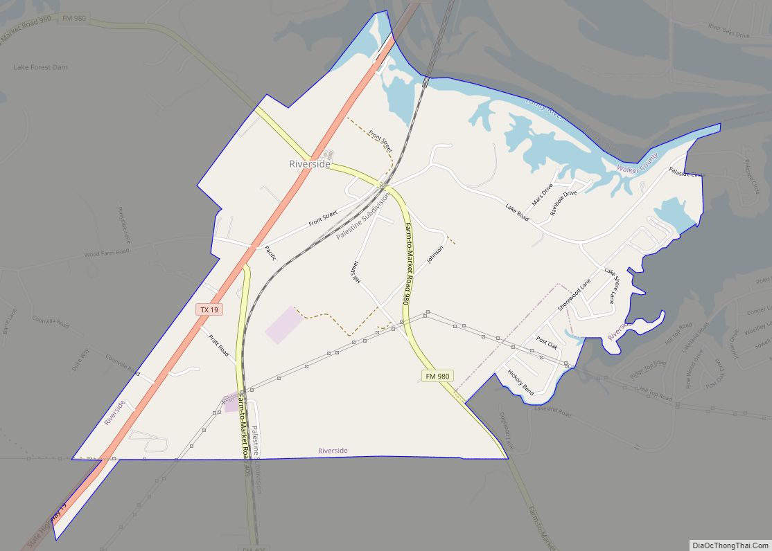
Huntsville Road Map
Huntsville city Satellite Map
Geography
Huntsville is located at 30°42′41″N 95°32′54″W / 30.71139°N 95.54833°W / 30.71139; -95.54833 (30.711254, −95.548373).
According to the United States Census Bureau, the city has a land area of 35.86 square miles in 2010.
At the area code level, land area covers 559.661 sq. mi. and water area 7.786 sq. mi.
Huntsville is about 70 miles (110 km) north of Houston. It is part of the Texas Triangle megaregion.
See also
Map of Texas State and its subdivision:- Anderson
- Andrews
- Angelina
- Aransas
- Archer
- Armstrong
- Atascosa
- Austin
- Bailey
- Bandera
- Bastrop
- Baylor
- Bee
- Bell
- Bexar
- Blanco
- Borden
- Bosque
- Bowie
- Brazoria
- Brazos
- Brewster
- Briscoe
- Brooks
- Brown
- Burleson
- Burnet
- Caldwell
- Calhoun
- Callahan
- Cameron
- Camp
- Carson
- Cass
- Castro
- Chambers
- Cherokee
- Childress
- Clay
- Cochran
- Coke
- Coleman
- Collin
- Collingsworth
- Colorado
- Comal
- Comanche
- Concho
- Cooke
- Coryell
- Cottle
- Crane
- Crockett
- Crosby
- Culberson
- Dallam
- Dallas
- Dawson
- Deaf Smith
- Delta
- Denton
- Dewitt
- Dickens
- Dimmit
- Donley
- Duval
- Eastland
- Ector
- Edwards
- El Paso
- Ellis
- Erath
- Falls
- Fannin
- Fayette
- Fisher
- Floyd
- Foard
- Fort Bend
- Franklin
- Freestone
- Frio
- Gaines
- Galveston
- Garza
- Gillespie
- Glasscock
- Goliad
- Gonzales
- Gray
- Grayson
- Gregg
- Grimes
- Guadalupe
- Hale
- Hall
- Hamilton
- Hansford
- Hardeman
- Hardin
- Harris
- Harrison
- Hartley
- Haskell
- Hays
- Hemphill
- Henderson
- Hidalgo
- Hill
- Hockley
- Hood
- Hopkins
- Houston
- Howard
- Hudspeth
- Hunt
- Hutchinson
- Irion
- Jack
- Jackson
- Jasper
- Jeff Davis
- Jefferson
- Jim Hogg
- Jim Wells
- Johnson
- Jones
- Karnes
- Kaufman
- Kendall
- Kenedy
- Kent
- Kerr
- Kimble
- King
- Kinney
- Kleberg
- Knox
- La Salle
- Lamar
- Lamb
- Lampasas
- Lavaca
- Lee
- Leon
- Liberty
- Limestone
- Lipscomb
- Live Oak
- Llano
- Loving
- Lubbock
- Lynn
- Madison
- Marion
- Martin
- Mason
- Matagorda
- Maverick
- McCulloch
- McLennan
- McMullen
- Medina
- Menard
- Midland
- Milam
- Mills
- Mitchell
- Montague
- Montgomery
- Moore
- Morris
- Motley
- Nacogdoches
- Navarro
- Newton
- Nolan
- Nueces
- Ochiltree
- Oldham
- Orange
- Palo Pinto
- Panola
- Parker
- Parmer
- Pecos
- Polk
- Potter
- Presidio
- Rains
- Randall
- Reagan
- Real
- Red River
- Reeves
- Refugio
- Roberts
- Robertson
- Rockwall
- Runnels
- Rusk
- Sabine
- San Augustine
- San Jacinto
- San Patricio
- San Saba
- Schleicher
- Scurry
- Shackelford
- Shelby
- Sherman
- Smith
- Somervell
- Starr
- Stephens
- Sterling
- Stonewall
- Sutton
- Swisher
- Tarrant
- Taylor
- Terrell
- Terry
- Throckmorton
- Titus
- Tom Green
- Travis
- Trinity
- Tyler
- Upshur
- Upton
- Uvalde
- Val Verde
- Van Zandt
- Victoria
- Walker
- Waller
- Ward
- Washington
- Webb
- Wharton
- Wheeler
- Wichita
- Wilbarger
- Willacy
- Williamson
- Wilson
- Winkler
- Wise
- Wood
- Yoakum
- Young
- Zapata
- Zavala
- Alabama
- Alaska
- Arizona
- Arkansas
- California
- Colorado
- Connecticut
- Delaware
- District of Columbia
- Florida
- Georgia
- Hawaii
- Idaho
- Illinois
- Indiana
- Iowa
- Kansas
- Kentucky
- Louisiana
- Maine
- Maryland
- Massachusetts
- Michigan
- Minnesota
- Mississippi
- Missouri
- Montana
- Nebraska
- Nevada
- New Hampshire
- New Jersey
- New Mexico
- New York
- North Carolina
- North Dakota
- Ohio
- Oklahoma
- Oregon
- Pennsylvania
- Rhode Island
- South Carolina
- South Dakota
- Tennessee
- Texas
- Utah
- Vermont
- Virginia
- Washington
- West Virginia
- Wisconsin
- Wyoming


