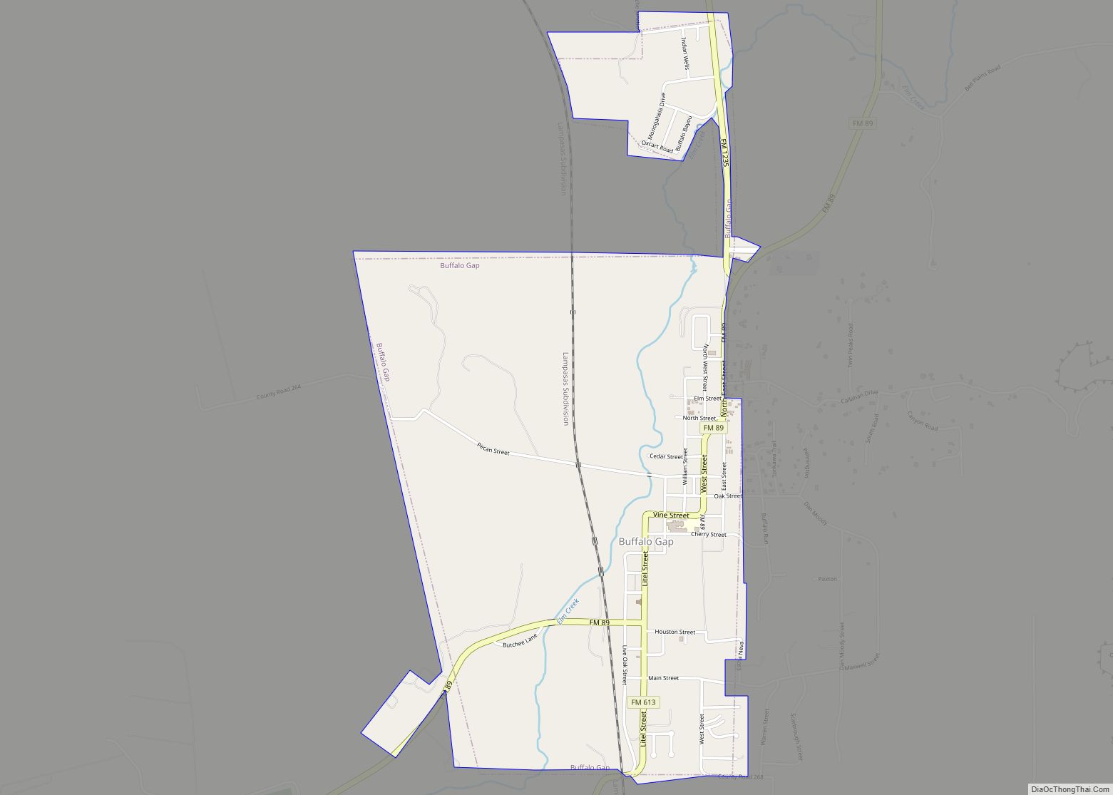
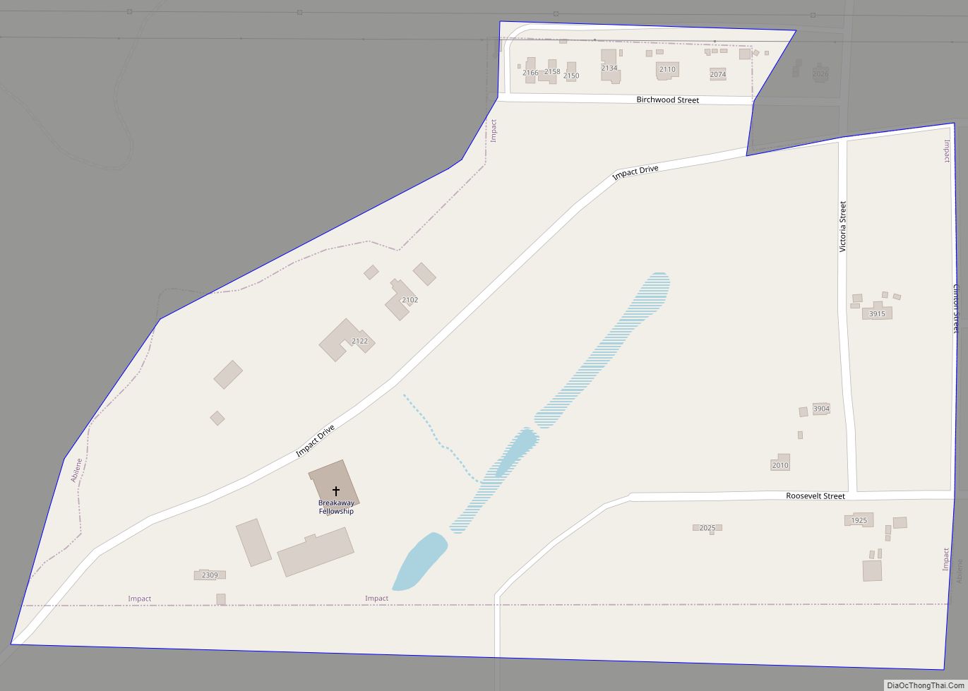
Impact is a town in Taylor County, Texas, United States. The population was 35 at the 2010 census. It is part of the Abilene, Texas Metropolitan Statistical Area.
| Name: | Impact town |
|---|---|
| LSAD Code: | 43 |
| LSAD Description: | town (suffix) |
| State: | Texas |
| County: | Taylor County |
| Elevation: | 1,670 ft (509 m) |
| Total Area: | 0.09 sq mi (0.23 km²) |
| Land Area: | 0.09 sq mi (0.23 km²) |
| Water Area: | 0.00 sq mi (0.00 km²) |
| Total Population: | 35 |
| Population Density: | 344.83/sq mi (133.28/km²) |
| ZIP code: | 79603 |
| Area code: | 325 |
| FIPS code: | 4835816 |
| GNISfeature ID: | 1388540 |
Online Interactive Map
Click on ![]() to view map in "full screen" mode.
to view map in "full screen" mode.
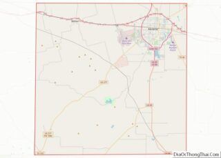
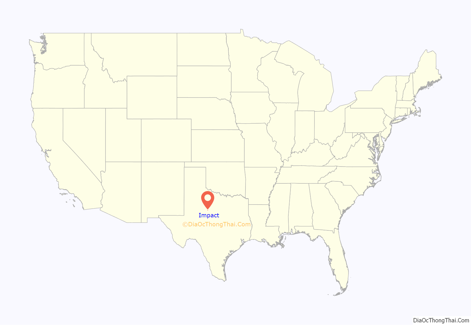
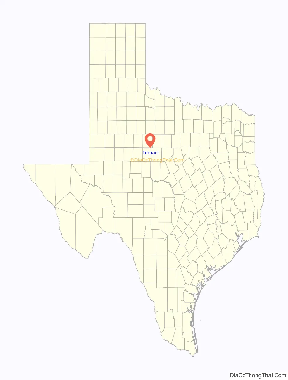
Impact location map. Where is Impact town?
History
The area that became known as Impact began as a 20-acre (81,000 m) poultry farm owned by advertising businessman Dallas Perkins. Prior to 1960, liquor sales were prohibited in all cities and counties surrounding Abilene. The prohibition of legal liquor sales encouraged bootleggers to produce illegal liquor commonly called “moonshine”.
Perkins capitalized on the potential market for legal liquor among the wets by purchasing 27 acres of land adjacent to his farm on the outskirts of Abilene and then pushing for its incorporation. Calling the village “Impact” after his advertising business, 29 signatures of local residents were collected and it was incorporated in 1960.
Soon after, the village’s citizens voted 18 to 2 to permit liquor sales. Abilene lawyers immediately filed motions to oppose the town’s incorporation, but a Texas Supreme Court ruling in 1963 upheld Impact’s incorporation and its right to sell liquor.
Two liquor stores opened in Impact in 1963. The first month’s sales were $463,000 (equivalent to roughly $3.5 million in 2012). With the newfound revenues, the village’s roads were paved and lighted, garbage pickup was introduced, and a policeman was hired. One of the liquor stores was Pinky’s, which was owned by Perkins and his associates and used a logo of a pink elephant, thus the name.
Impact remained the only wholly wet municipality in Taylor County until 1978, when Abilene voters narrowly legalized (by a 131-vote margin) liquor sales in the city. With that vote, Impact lost its reason for being. The liquor stores in Impact soon dried up and closed and the community became just another suburb of Abilene.
Impact has been and still is one of the smallest incorporated communities in Texas. Its population peaked at 61 in 1970 and had declined to 39 by 2000.
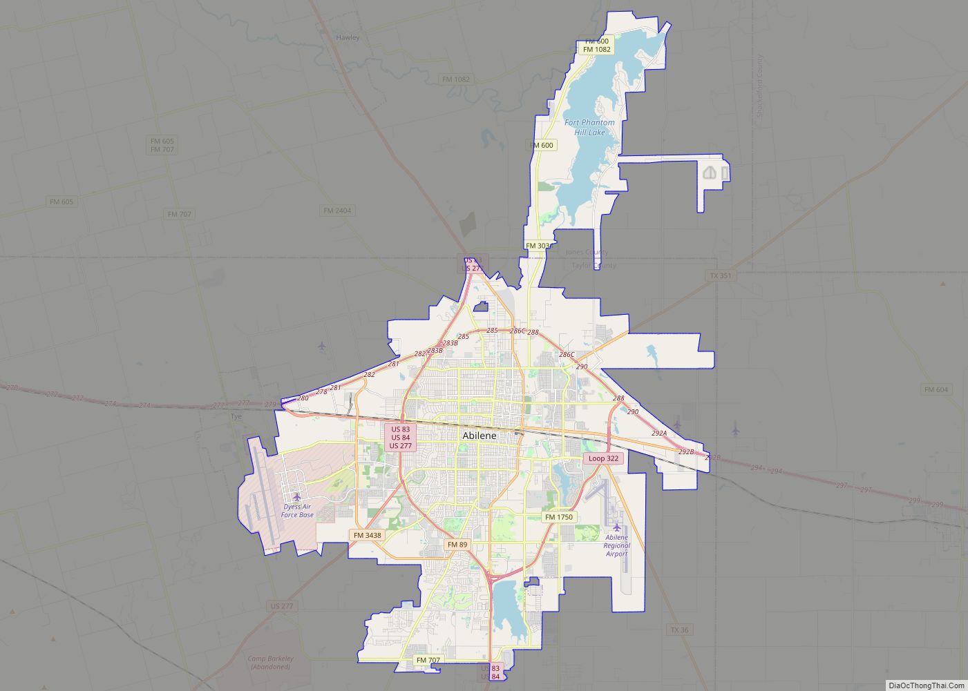
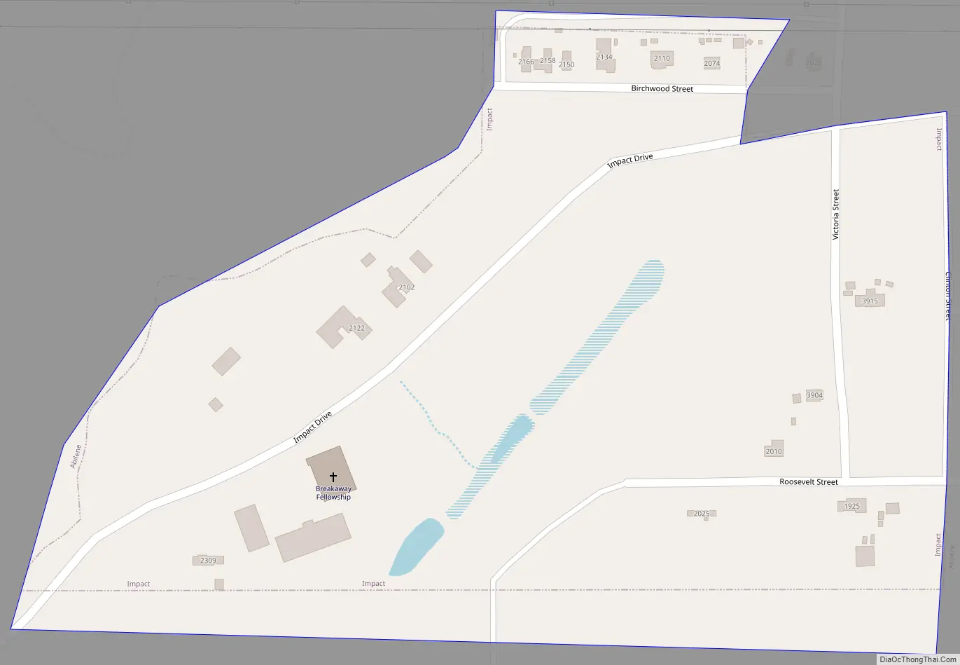
Impact Road Map
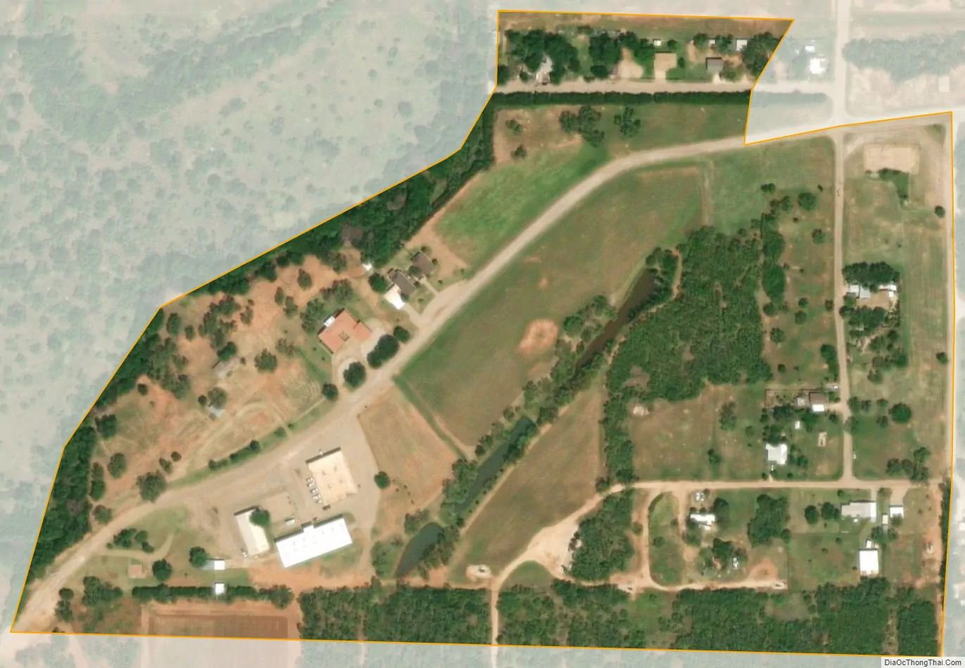
Impact city Satellite Map
Geography
Impact is located at 32°30′2″N 99°44′41″W / 32.50056°N 99.74472°W / 32.50056; -99.74472 (32.500573, –99.744790).
According to the United States Census Bureau, the town has a total area of 0.1 square miles (0.2 km), all of it land.
See also
Map of Texas State and its subdivision:- Anderson
- Andrews
- Angelina
- Aransas
- Archer
- Armstrong
- Atascosa
- Austin
- Bailey
- Bandera
- Bastrop
- Baylor
- Bee
- Bell
- Bexar
- Blanco
- Borden
- Bosque
- Bowie
- Brazoria
- Brazos
- Brewster
- Briscoe
- Brooks
- Brown
- Burleson
- Burnet
- Caldwell
- Calhoun
- Callahan
- Cameron
- Camp
- Carson
- Cass
- Castro
- Chambers
- Cherokee
- Childress
- Clay
- Cochran
- Coke
- Coleman
- Collin
- Collingsworth
- Colorado
- Comal
- Comanche
- Concho
- Cooke
- Coryell
- Cottle
- Crane
- Crockett
- Crosby
- Culberson
- Dallam
- Dallas
- Dawson
- Deaf Smith
- Delta
- Denton
- Dewitt
- Dickens
- Dimmit
- Donley
- Duval
- Eastland
- Ector
- Edwards
- El Paso
- Ellis
- Erath
- Falls
- Fannin
- Fayette
- Fisher
- Floyd
- Foard
- Fort Bend
- Franklin
- Freestone
- Frio
- Gaines
- Galveston
- Garza
- Gillespie
- Glasscock
- Goliad
- Gonzales
- Gray
- Grayson
- Gregg
- Grimes
- Guadalupe
- Hale
- Hall
- Hamilton
- Hansford
- Hardeman
- Hardin
- Harris
- Harrison
- Hartley
- Haskell
- Hays
- Hemphill
- Henderson
- Hidalgo
- Hill
- Hockley
- Hood
- Hopkins
- Houston
- Howard
- Hudspeth
- Hunt
- Hutchinson
- Irion
- Jack
- Jackson
- Jasper
- Jeff Davis
- Jefferson
- Jim Hogg
- Jim Wells
- Johnson
- Jones
- Karnes
- Kaufman
- Kendall
- Kenedy
- Kent
- Kerr
- Kimble
- King
- Kinney
- Kleberg
- Knox
- La Salle
- Lamar
- Lamb
- Lampasas
- Lavaca
- Lee
- Leon
- Liberty
- Limestone
- Lipscomb
- Live Oak
- Llano
- Loving
- Lubbock
- Lynn
- Madison
- Marion
- Martin
- Mason
- Matagorda
- Maverick
- McCulloch
- McLennan
- McMullen
- Medina
- Menard
- Midland
- Milam
- Mills
- Mitchell
- Montague
- Montgomery
- Moore
- Morris
- Motley
- Nacogdoches
- Navarro
- Newton
- Nolan
- Nueces
- Ochiltree
- Oldham
- Orange
- Palo Pinto
- Panola
- Parker
- Parmer
- Pecos
- Polk
- Potter
- Presidio
- Rains
- Randall
- Reagan
- Real
- Red River
- Reeves
- Refugio
- Roberts
- Robertson
- Rockwall
- Runnels
- Rusk
- Sabine
- San Augustine
- San Jacinto
- San Patricio
- San Saba
- Schleicher
- Scurry
- Shackelford
- Shelby
- Sherman
- Smith
- Somervell
- Starr
- Stephens
- Sterling
- Stonewall
- Sutton
- Swisher
- Tarrant
- Taylor
- Terrell
- Terry
- Throckmorton
- Titus
- Tom Green
- Travis
- Trinity
- Tyler
- Upshur
- Upton
- Uvalde
- Val Verde
- Van Zandt
- Victoria
- Walker
- Waller
- Ward
- Washington
- Webb
- Wharton
- Wheeler
- Wichita
- Wilbarger
- Willacy
- Williamson
- Wilson
- Winkler
- Wise
- Wood
- Yoakum
- Young
- Zapata
- Zavala
- Alabama
- Alaska
- Arizona
- Arkansas
- California
- Colorado
- Connecticut
- Delaware
- District of Columbia
- Florida
- Georgia
- Hawaii
- Idaho
- Illinois
- Indiana
- Iowa
- Kansas
- Kentucky
- Louisiana
- Maine
- Maryland
- Massachusetts
- Michigan
- Minnesota
- Mississippi
- Missouri
- Montana
- Nebraska
- Nevada
- New Hampshire
- New Jersey
- New Mexico
- New York
- North Carolina
- North Dakota
- Ohio
- Oklahoma
- Oregon
- Pennsylvania
- Rhode Island
- South Carolina
- South Dakota
- Tennessee
- Texas
- Utah
- Vermont
- Virginia
- Washington
- West Virginia
- Wisconsin
- Wyoming