Jacinto City is a city in Harris County, Texas, United States, east of the intersection of Interstate 10 and the East Loop of Interstate 610. Jacinto City is part of the Houston–Sugar Land–Baytown metropolitan area and is bordered by the cities of Houston and Galena Park. The population was 9,613 at the 2020 census.
| Name: | Jacinto City city |
|---|---|
| LSAD Code: | 25 |
| LSAD Description: | city (suffix) |
| State: | Texas |
| County: | Harris County |
| Incorporated: | 1947 |
| Elevation: | 30 ft (9 m) |
| Total Area: | 1.85 sq mi (4.80 km²) |
| Land Area: | 1.85 sq mi (4.80 km²) |
| Water Area: | 0.00 sq mi (0.00 km²) |
| Total Population: | 9,613 |
| Population Density: | 5,648.14/sq mi (2,180.17/km²) |
| ZIP code: | 77029 |
| Area code: | 713 |
| FIPS code: | 4837156 |
| GNISfeature ID: | 1374254 |
| Website: | www.jacintocity-tx.gov |
Online Interactive Map
Click on ![]() to view map in "full screen" mode.
to view map in "full screen" mode.
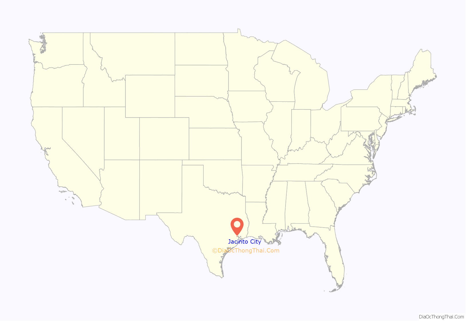
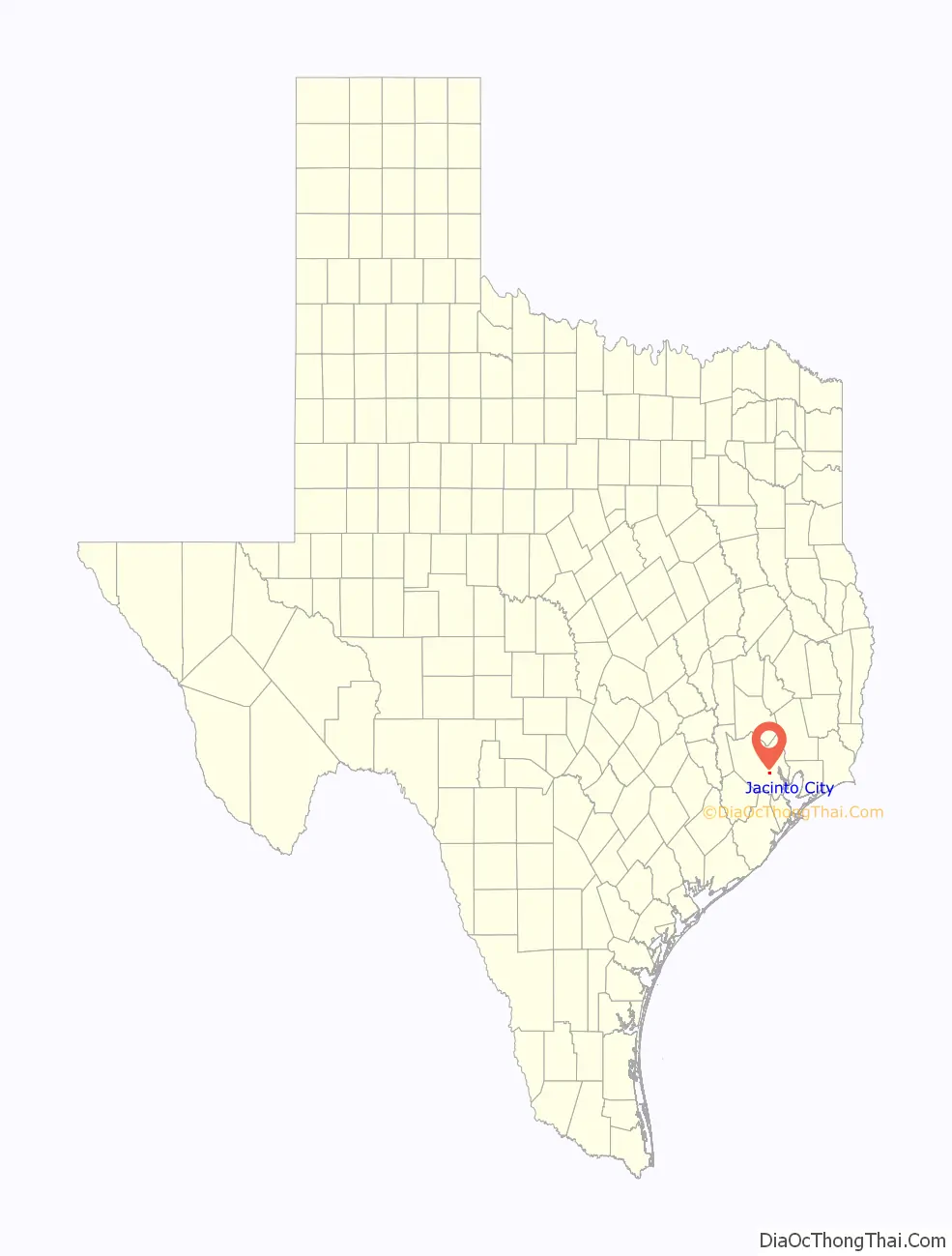
Jacinto City location map. Where is Jacinto City city?
History
In 1941 Frank Sharp established a subdivision which filled with shipyard workers and workers at nearby steel mills and war plants. Jacinto City incorporated in 1947 with nearly 3,800 residents; its first mayor was Inch Handler. Because of the 1947 incorporation, Houston did not incorporate Jacinto City’s territory into its city limits, while Houston annexed surrounding areas that were unincorporated. The town still serves as a bedroom community for local industry. In the 1950s the city opened a city hall and recreational facilities. By 1960 the city had 9,500 people and by 1964 the city had 11,500 people. In 1966 the city had seventeen churches, two schools, one hospital, one bank, and one library. A waste-water facility funded by the Environmental Protection Agency opened in 1972; the Handbook of Texas stated that this may be due to complaints from residents about chemical vapors in 1969. In 1990 the city had 9,343 people.
Jacinto City was known for the murder of Louis “Buddy” Musso by Susan (or Suzanne) “Sue” Basso in 1998. Basso lived in Jacinto City and held Musso against his will there; Musso died in an apartment unit used by an accomplice in Houston. Musso’s corpse was dumped in neighboring Galena Park.
From 1996 to 2006 the median price per square foot of the Jacinto City houses increased from approximately $35 to approximately $70.
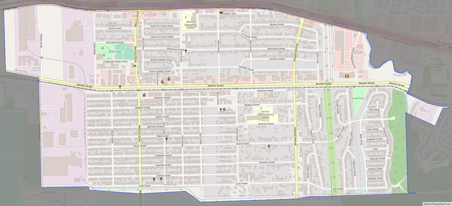
Jacinto City Road Map
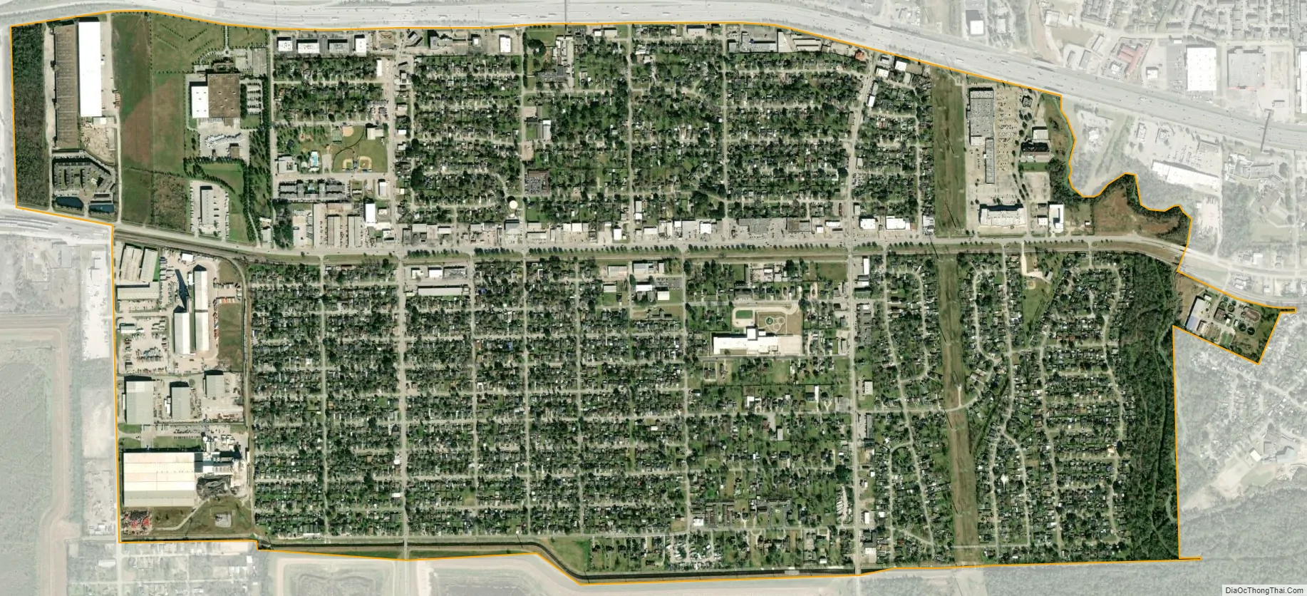
Jacinto City city Satellite Map
Geography
According to the United States Census Bureau, the city has a total area of 1.9 square miles (4.9 km), all land.
Jacinto City is in central Harris County, along the Missouri Pacific Railroad and at the intersection of U.S. Highway 90, Interstate 610, and Interstate 10. It is in close proximity to the San Jacinto battleground. Jacinto City derives its name from the battleground. It is next to Galena Park.
See also
Map of Texas State and its subdivision:- Anderson
- Andrews
- Angelina
- Aransas
- Archer
- Armstrong
- Atascosa
- Austin
- Bailey
- Bandera
- Bastrop
- Baylor
- Bee
- Bell
- Bexar
- Blanco
- Borden
- Bosque
- Bowie
- Brazoria
- Brazos
- Brewster
- Briscoe
- Brooks
- Brown
- Burleson
- Burnet
- Caldwell
- Calhoun
- Callahan
- Cameron
- Camp
- Carson
- Cass
- Castro
- Chambers
- Cherokee
- Childress
- Clay
- Cochran
- Coke
- Coleman
- Collin
- Collingsworth
- Colorado
- Comal
- Comanche
- Concho
- Cooke
- Coryell
- Cottle
- Crane
- Crockett
- Crosby
- Culberson
- Dallam
- Dallas
- Dawson
- Deaf Smith
- Delta
- Denton
- Dewitt
- Dickens
- Dimmit
- Donley
- Duval
- Eastland
- Ector
- Edwards
- El Paso
- Ellis
- Erath
- Falls
- Fannin
- Fayette
- Fisher
- Floyd
- Foard
- Fort Bend
- Franklin
- Freestone
- Frio
- Gaines
- Galveston
- Garza
- Gillespie
- Glasscock
- Goliad
- Gonzales
- Gray
- Grayson
- Gregg
- Grimes
- Guadalupe
- Hale
- Hall
- Hamilton
- Hansford
- Hardeman
- Hardin
- Harris
- Harrison
- Hartley
- Haskell
- Hays
- Hemphill
- Henderson
- Hidalgo
- Hill
- Hockley
- Hood
- Hopkins
- Houston
- Howard
- Hudspeth
- Hunt
- Hutchinson
- Irion
- Jack
- Jackson
- Jasper
- Jeff Davis
- Jefferson
- Jim Hogg
- Jim Wells
- Johnson
- Jones
- Karnes
- Kaufman
- Kendall
- Kenedy
- Kent
- Kerr
- Kimble
- King
- Kinney
- Kleberg
- Knox
- La Salle
- Lamar
- Lamb
- Lampasas
- Lavaca
- Lee
- Leon
- Liberty
- Limestone
- Lipscomb
- Live Oak
- Llano
- Loving
- Lubbock
- Lynn
- Madison
- Marion
- Martin
- Mason
- Matagorda
- Maverick
- McCulloch
- McLennan
- McMullen
- Medina
- Menard
- Midland
- Milam
- Mills
- Mitchell
- Montague
- Montgomery
- Moore
- Morris
- Motley
- Nacogdoches
- Navarro
- Newton
- Nolan
- Nueces
- Ochiltree
- Oldham
- Orange
- Palo Pinto
- Panola
- Parker
- Parmer
- Pecos
- Polk
- Potter
- Presidio
- Rains
- Randall
- Reagan
- Real
- Red River
- Reeves
- Refugio
- Roberts
- Robertson
- Rockwall
- Runnels
- Rusk
- Sabine
- San Augustine
- San Jacinto
- San Patricio
- San Saba
- Schleicher
- Scurry
- Shackelford
- Shelby
- Sherman
- Smith
- Somervell
- Starr
- Stephens
- Sterling
- Stonewall
- Sutton
- Swisher
- Tarrant
- Taylor
- Terrell
- Terry
- Throckmorton
- Titus
- Tom Green
- Travis
- Trinity
- Tyler
- Upshur
- Upton
- Uvalde
- Val Verde
- Van Zandt
- Victoria
- Walker
- Waller
- Ward
- Washington
- Webb
- Wharton
- Wheeler
- Wichita
- Wilbarger
- Willacy
- Williamson
- Wilson
- Winkler
- Wise
- Wood
- Yoakum
- Young
- Zapata
- Zavala
- Alabama
- Alaska
- Arizona
- Arkansas
- California
- Colorado
- Connecticut
- Delaware
- District of Columbia
- Florida
- Georgia
- Hawaii
- Idaho
- Illinois
- Indiana
- Iowa
- Kansas
- Kentucky
- Louisiana
- Maine
- Maryland
- Massachusetts
- Michigan
- Minnesota
- Mississippi
- Missouri
- Montana
- Nebraska
- Nevada
- New Hampshire
- New Jersey
- New Mexico
- New York
- North Carolina
- North Dakota
- Ohio
- Oklahoma
- Oregon
- Pennsylvania
- Rhode Island
- South Carolina
- South Dakota
- Tennessee
- Texas
- Utah
- Vermont
- Virginia
- Washington
- West Virginia
- Wisconsin
- Wyoming


