Jonestown is a city in Travis County, Texas, United States on the north shore of Lake Travis. The population was 2,365 at the 2020 census.
| Name: | Jonestown city |
|---|---|
| LSAD Code: | 25 |
| LSAD Description: | city (suffix) |
| State: | Texas |
| County: | Travis County |
| Incorporated: | 1985; 38 years ago (1985) |
| Elevation: | 814 ft (248 m) |
| Total Area: | 7.60 sq mi (19.68 km²) |
| Land Area: | 6.41 sq mi (16.60 km²) |
| Water Area: | 1.19 sq mi (3.09 km²) |
| Total Population: | 2,365 |
| Population Density: | 328.44/sq mi (126.82/km²) |
| ZIP code: | 78645 |
| Area code: | 512 |
| FIPS code: | 4838020 |
| GNISfeature ID: | 1360424 |
Online Interactive Map
Click on ![]() to view map in "full screen" mode.
to view map in "full screen" mode.
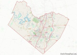
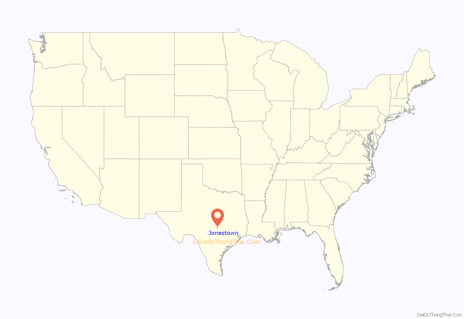
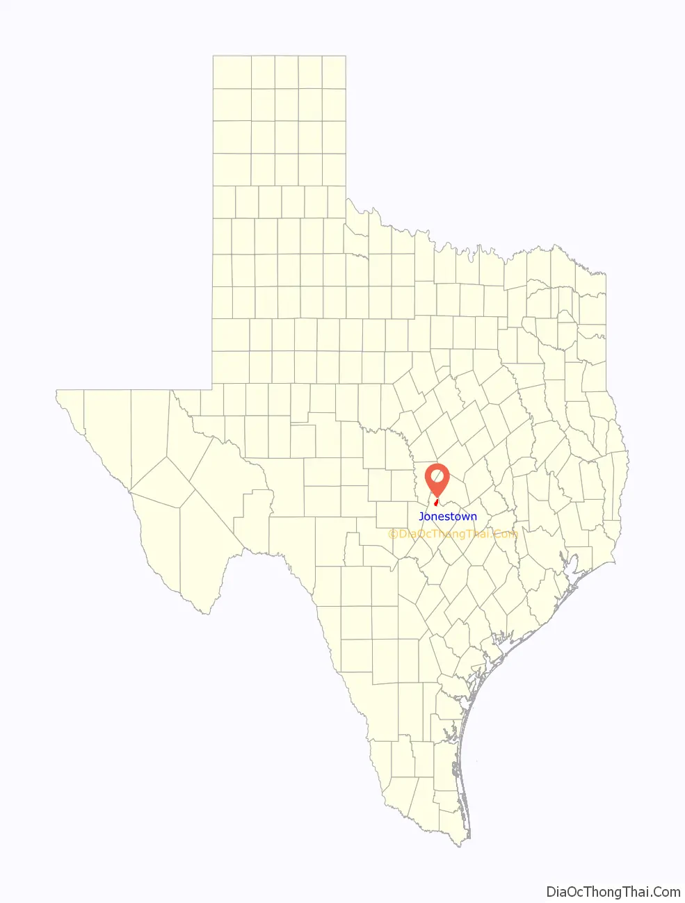
Jonestown location map. Where is Jonestown city?
History
Jonestown was developed by brothers Warren and Emmet A. Jones in the 1930s when they recognized the opportunity presented by the upcoming Mansfield Dam on the Colorado River. Once the dam was complete, Jonestown would become waterfront property along the Sandy Creek Arm and Big Devil’s Hollow of the newly formed Lake Travis. The Jones brothers initially sold waterfront lots for $50 in 1939, raising the price to $100 and offering financing after complaints the original cost was too high.
The area had less than 1,000 residents until the late 1980s and residences were mostly weekend cabins. However, during this time the remote location also attracted “bike gangs, drug dealers and other ne’er-do-wells” according to a 1999 Austin American-Statesman article.
The city officially incorporated in 1985 with city leaders encouraging growth in an attempt to leave the settlement’s less savory history behind. Following incorporation, growth was initially fast with the 1988 population of 683 growing to 1,250 by 1990 but a regional real estate bust brought it to a halt around 1990.
In 1992, the community had a budget of just over US$310,000, a police force of two Travis County Sheriff’s deputies, and a volunteer fire department but did not provide any utilities. In the early and mid-1990s there were several attempts to disincorporate the city due to concerns around increased taxes and ordinances. Residents opposed to dissolution expressed fear that Austin would annex the territory if the city were dissolved, an original driving concern for the city’s incorporation.
In 1996 Jonestown increased its borders by annexing a large parcel which had recently been bought by a real-estate development group. By 1999, the city had 1,500 residents and the Lake North area of Travis County, which includes Jonestown, had seen a 62% rise in median home prices from US$84,500 to US$137,250 in the five-year period from 1994 to 1999. These changes, along with a corresponding increase in its tax base, were welcomed by some residents as a way to increase city services. Others were unhappy with the changes feeling the population was growing too quickly. The population continued to increase reaching 1,681 by 2000 and 1,834 by the 2010 census.
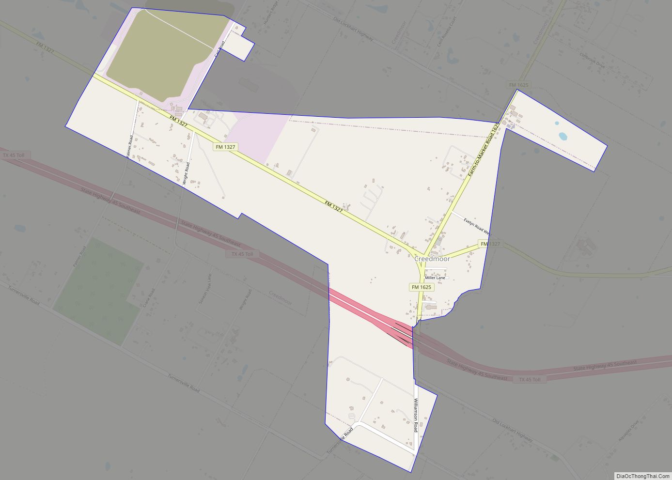
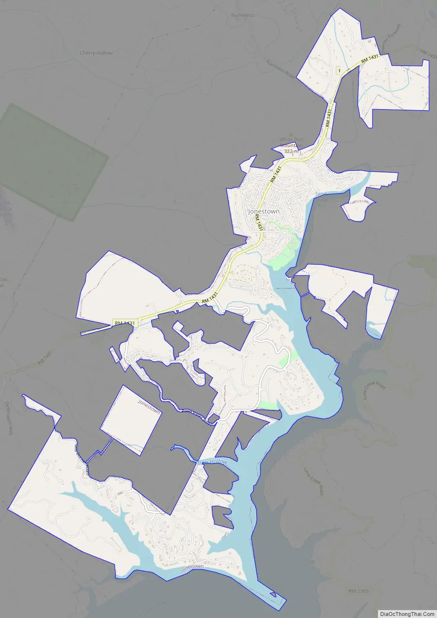
Jonestown Road Map
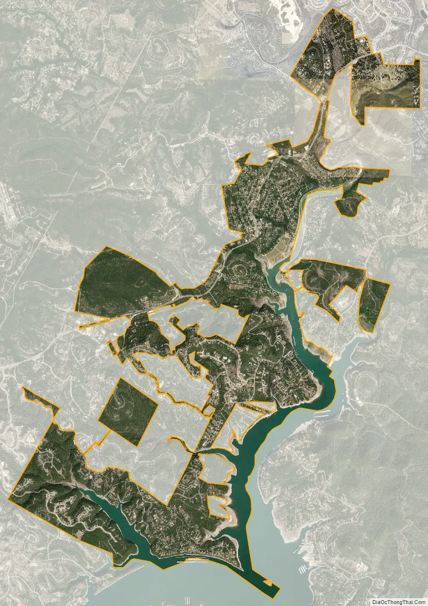
Jonestown city Satellite Map
Geography
Jonestown is located at 30°29′20″N 97°55′27″W / 30.488872°N 97.924208°W / 30.488872; -97.924208 (30.488872, –97.924208). This is at the north end of Lake Travis, 19 miles (31 km) northwest of Austin.
According to the United States Census Bureau, the city has a total area of 5.3 square miles (13.7 km), of which, 4.7 square miles (12.1 km) of it is land and 0.6 square miles (1.6 km) of it (11.34%) is water.
See also
Map of Texas State and its subdivision:- Anderson
- Andrews
- Angelina
- Aransas
- Archer
- Armstrong
- Atascosa
- Austin
- Bailey
- Bandera
- Bastrop
- Baylor
- Bee
- Bell
- Bexar
- Blanco
- Borden
- Bosque
- Bowie
- Brazoria
- Brazos
- Brewster
- Briscoe
- Brooks
- Brown
- Burleson
- Burnet
- Caldwell
- Calhoun
- Callahan
- Cameron
- Camp
- Carson
- Cass
- Castro
- Chambers
- Cherokee
- Childress
- Clay
- Cochran
- Coke
- Coleman
- Collin
- Collingsworth
- Colorado
- Comal
- Comanche
- Concho
- Cooke
- Coryell
- Cottle
- Crane
- Crockett
- Crosby
- Culberson
- Dallam
- Dallas
- Dawson
- Deaf Smith
- Delta
- Denton
- Dewitt
- Dickens
- Dimmit
- Donley
- Duval
- Eastland
- Ector
- Edwards
- El Paso
- Ellis
- Erath
- Falls
- Fannin
- Fayette
- Fisher
- Floyd
- Foard
- Fort Bend
- Franklin
- Freestone
- Frio
- Gaines
- Galveston
- Garza
- Gillespie
- Glasscock
- Goliad
- Gonzales
- Gray
- Grayson
- Gregg
- Grimes
- Guadalupe
- Hale
- Hall
- Hamilton
- Hansford
- Hardeman
- Hardin
- Harris
- Harrison
- Hartley
- Haskell
- Hays
- Hemphill
- Henderson
- Hidalgo
- Hill
- Hockley
- Hood
- Hopkins
- Houston
- Howard
- Hudspeth
- Hunt
- Hutchinson
- Irion
- Jack
- Jackson
- Jasper
- Jeff Davis
- Jefferson
- Jim Hogg
- Jim Wells
- Johnson
- Jones
- Karnes
- Kaufman
- Kendall
- Kenedy
- Kent
- Kerr
- Kimble
- King
- Kinney
- Kleberg
- Knox
- La Salle
- Lamar
- Lamb
- Lampasas
- Lavaca
- Lee
- Leon
- Liberty
- Limestone
- Lipscomb
- Live Oak
- Llano
- Loving
- Lubbock
- Lynn
- Madison
- Marion
- Martin
- Mason
- Matagorda
- Maverick
- McCulloch
- McLennan
- McMullen
- Medina
- Menard
- Midland
- Milam
- Mills
- Mitchell
- Montague
- Montgomery
- Moore
- Morris
- Motley
- Nacogdoches
- Navarro
- Newton
- Nolan
- Nueces
- Ochiltree
- Oldham
- Orange
- Palo Pinto
- Panola
- Parker
- Parmer
- Pecos
- Polk
- Potter
- Presidio
- Rains
- Randall
- Reagan
- Real
- Red River
- Reeves
- Refugio
- Roberts
- Robertson
- Rockwall
- Runnels
- Rusk
- Sabine
- San Augustine
- San Jacinto
- San Patricio
- San Saba
- Schleicher
- Scurry
- Shackelford
- Shelby
- Sherman
- Smith
- Somervell
- Starr
- Stephens
- Sterling
- Stonewall
- Sutton
- Swisher
- Tarrant
- Taylor
- Terrell
- Terry
- Throckmorton
- Titus
- Tom Green
- Travis
- Trinity
- Tyler
- Upshur
- Upton
- Uvalde
- Val Verde
- Van Zandt
- Victoria
- Walker
- Waller
- Ward
- Washington
- Webb
- Wharton
- Wheeler
- Wichita
- Wilbarger
- Willacy
- Williamson
- Wilson
- Winkler
- Wise
- Wood
- Yoakum
- Young
- Zapata
- Zavala
- Alabama
- Alaska
- Arizona
- Arkansas
- California
- Colorado
- Connecticut
- Delaware
- District of Columbia
- Florida
- Georgia
- Hawaii
- Idaho
- Illinois
- Indiana
- Iowa
- Kansas
- Kentucky
- Louisiana
- Maine
- Maryland
- Massachusetts
- Michigan
- Minnesota
- Mississippi
- Missouri
- Montana
- Nebraska
- Nevada
- New Hampshire
- New Jersey
- New Mexico
- New York
- North Carolina
- North Dakota
- Ohio
- Oklahoma
- Oregon
- Pennsylvania
- Rhode Island
- South Carolina
- South Dakota
- Tennessee
- Texas
- Utah
- Vermont
- Virginia
- Washington
- West Virginia
- Wisconsin
- Wyoming