Cedar Park is a city and a suburb of Austin in the state of Texas, approximately 16 miles (26 km) to the north-west of the center of Austin. According to the 2020 U.S. census, the city’s population was 77,595.
| Name: | Cedar Park city |
|---|---|
| LSAD Code: | 25 |
| LSAD Description: | city (suffix) |
| State: | Texas |
| County: | Travis County, Williamson County |
| Incorporated: | February 24, 1973 |
| Elevation: | 1,100 ft (276 m) |
| Total Area: | 25.70 sq mi (66.56 km²) |
| Land Area: | 25.50 sq mi (66.05 km²) |
| Water Area: | 0.20 sq mi (0.51 km²) |
| Total Population: | 77,595 |
| Population Density: | 3,115.67/sq mi (1,202.97/km²) |
| ZIP code: | 78613, 78630 |
| Area code: | 512 & 737 |
| FIPS code: | 4813552 |
| GNISfeature ID: | 1354140 |
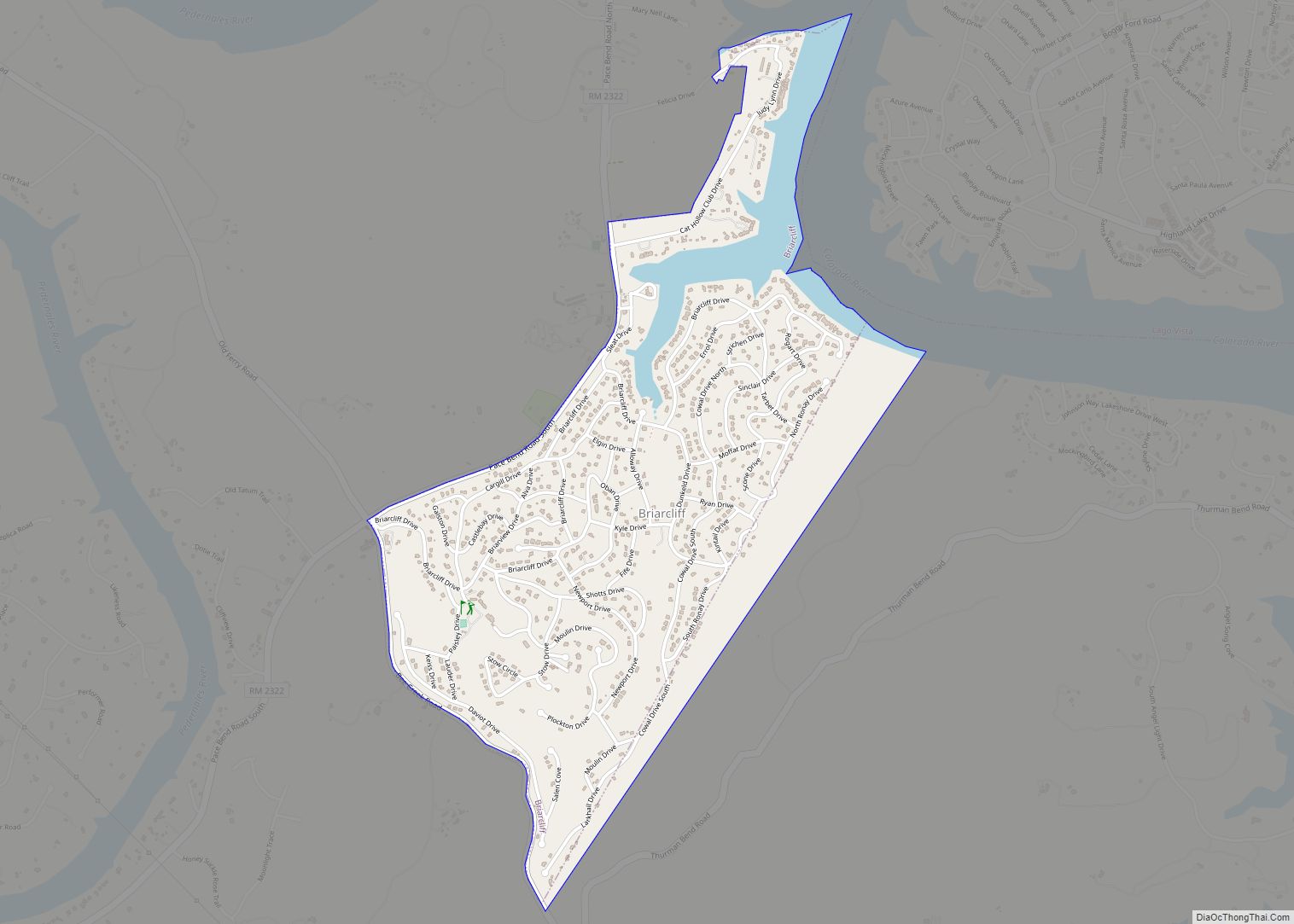
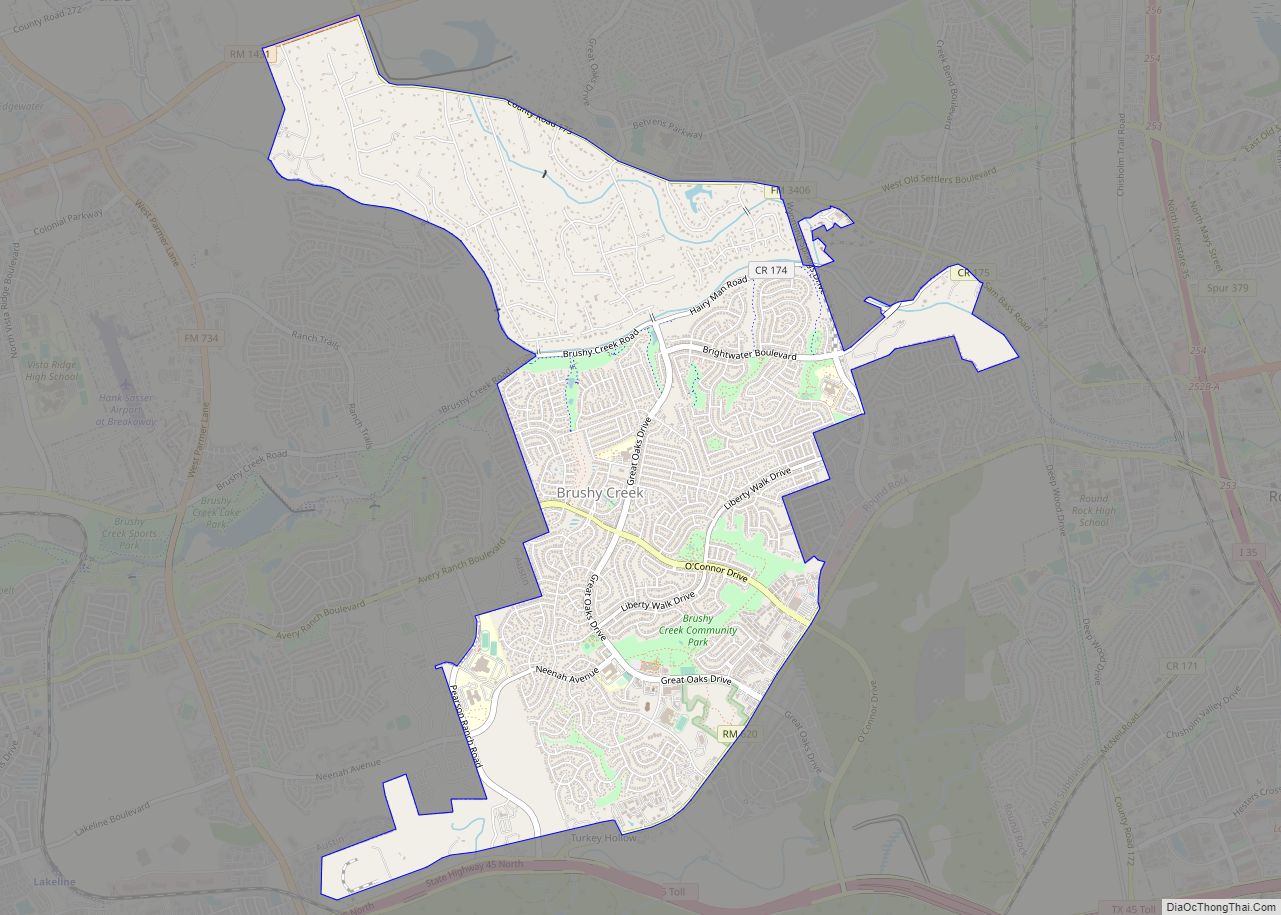
Online Interactive Map
Click on ![]() to view map in "full screen" mode.
to view map in "full screen" mode.
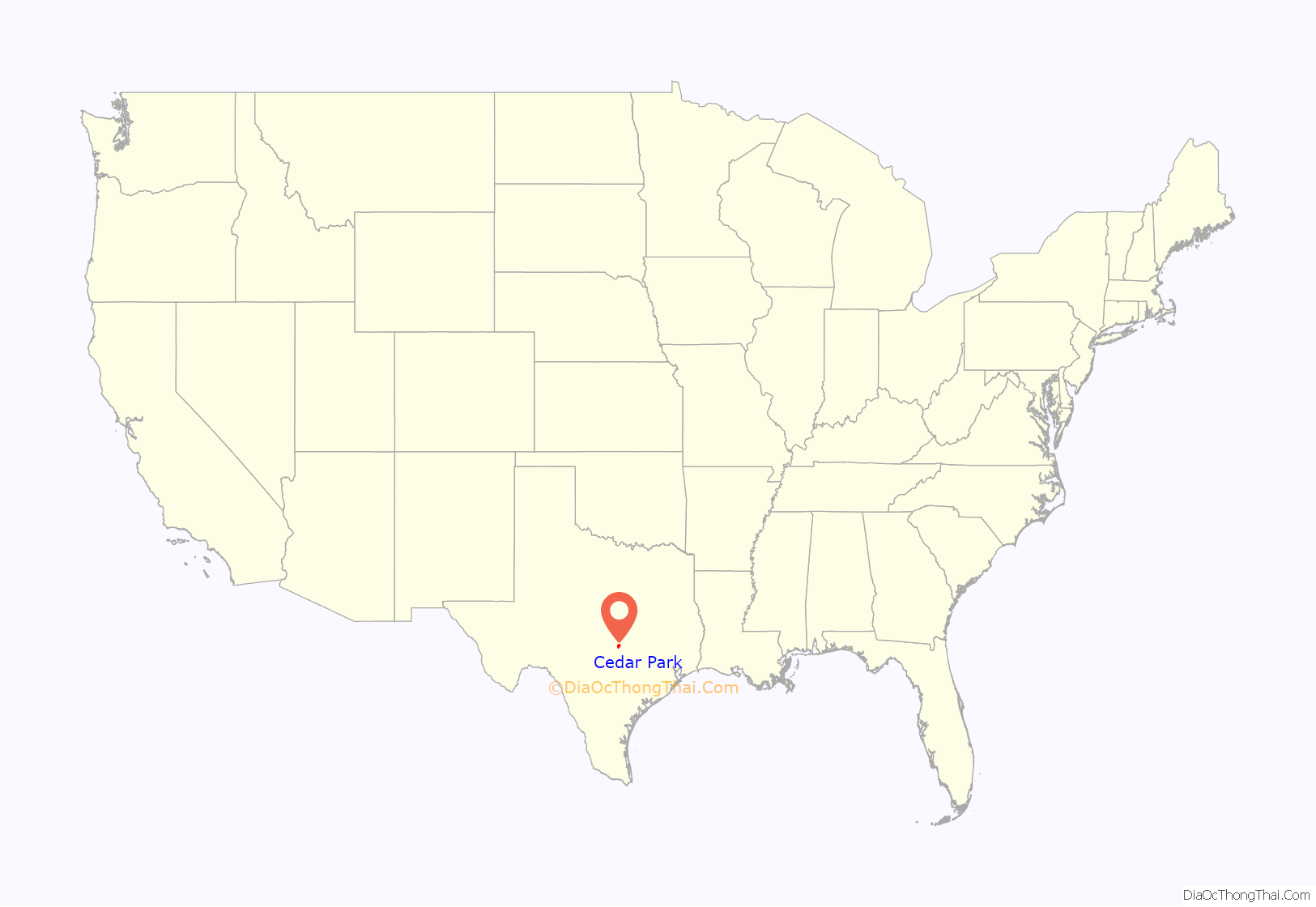
Cedar Park location map. Where is Cedar Park city?

History
Before the arrival of European settlers in the 19th century, the Cedar Park area was inhabited by Native American tribes including the Tonkawa, the Lipan Apache, and the Comanche. A paleo-American archaeological site (named the Wilson-Leonard site) was discovered in Cedar Park in 1983 that showed evidence of continual habitation of the area since circa 5000 BC.
In the mid-19th century the community was known as Running Brushy, named after a spring that formed the headwaters of a creek of the same name. In 1873 George and Harriet Cluck, after having run cattle up the Chisholm Trail for many years, bought 329 acres (1.33 km) of land that included the Running Brushy spring. Their ranch formed the core of the community that would one day become Cedar Park.
Ten years later, the railroad came through. The Austin and Northwestern Railroad, which connected the state capitol with the cities of Burnet and Lampasas to the north, was finished in 1882 and passed through Running Brushy and the Cluck ranch. The community was at this point renamed Bruggerhoff, after a railroad company official. However, the name was generally disliked by locals, being both hard to spell and pronounce. In 1887, Emmett Cluck (son of George and Harriet) changed the community name to Cedar Park. In 1892, a “strolling park” of 0.5 acres (2,000 m) was built near the train depot. Austinites would ride the train to Cedar Park for day trips to the park.
Cedar Park changed little until the 1950s and 1960s when housing subdivisions began to be built, spurred by the growth of nearby Austin. On February 24, 1973, the citizens of Cedar Park voted to incorporate. The estimated population was 1,765. A library followed in 1978.
On May 27, 1997, a strong and destructive F3 tornado struck the town. The tornado was one of 20 confirmed tornadoes that occurred during the 1997 Central Texas Tornado outbreak. It devastated the downtown area of the city, killing one person and nearly destroying the Albertson’s grocery store.
Major retailers began finding their way to the city in 2002 as Walmart opened. Additional large retailers now include Super Target, multiple HEB grocery stores, Academy Sports and Outdoors, Whole Foods, Randalls, Sprouts Farmers Market, and Costco. The major shopping centers include 1890 Ranch, Cedar Park Town Center, The Parke, and the Cypress Creek Shopping Center. In December 2007, Cedar Park Regional Medical Center opened becoming the first major medical center in Cedar Park.
In 2013, the US Census Bureau named Cedar Park the 4th fastest growing city in the United States, with a population of 57,957.
On April 4, 2016, the city announced it was collecting submissions for designs for an official city flag. Residents had until April 30 to submit proposed designs. On December 9, 2016, Cedar Park unveiled the flag design that won. On August 8, 2019, the City Council voted to rescind that particular design. As of September 2021, the city has no formal flag.
Heritage Oak Tree, 400-years-old, is decorated with over 30,000 lights each year in December. It is 57 feet tall with a spread of 80 feet. The tree is located in the median on Quest Blvd in Cedar Park.
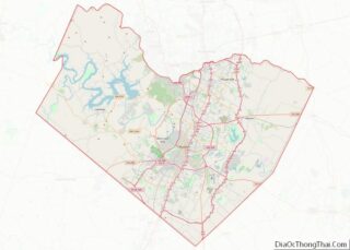
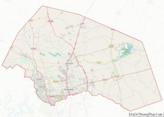
Cedar Park Road Map

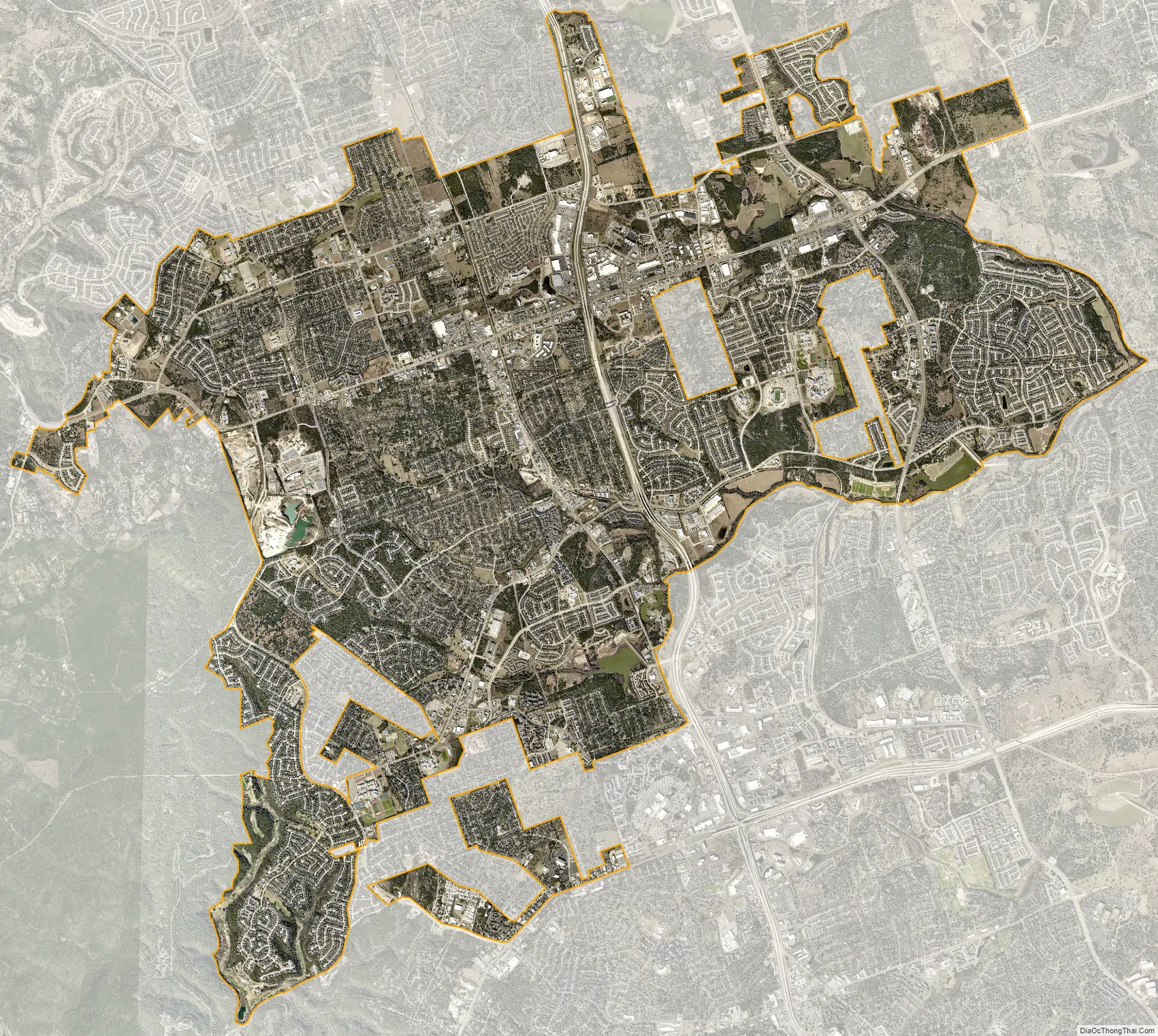
Cedar Park city Satellite Map
Geography
Cedar Park is located at 30°30′24″N 97°49′49″W / 30.50667°N 97.83028°W / 30.50667; -97.83028 (30.506620, –97.830317). It lies mostly in Williamson County, although a small amount extends into Travis County.
According to the United States Census Bureau, the city has a total area of 25.6 sq mi (66 km), of which, 25.3 sq mi (66 km) of it is land and .3 sq mi (0.78 km) of it (0.88%) is water.
Cedar Park is generally bisected north to south by U.S. Route 183. A bypass route, the 183A toll road, also runs through Cedar Park and opened to traffic on March 15, 2007. Major east–west routes include RM-1431/Whitestone Boulevard and Cypress Creek/Brushy Creek Road.
See also
Map of Texas State and its subdivision:- Anderson
- Andrews
- Angelina
- Aransas
- Archer
- Armstrong
- Atascosa
- Austin
- Bailey
- Bandera
- Bastrop
- Baylor
- Bee
- Bell
- Bexar
- Blanco
- Borden
- Bosque
- Bowie
- Brazoria
- Brazos
- Brewster
- Briscoe
- Brooks
- Brown
- Burleson
- Burnet
- Caldwell
- Calhoun
- Callahan
- Cameron
- Camp
- Carson
- Cass
- Castro
- Chambers
- Cherokee
- Childress
- Clay
- Cochran
- Coke
- Coleman
- Collin
- Collingsworth
- Colorado
- Comal
- Comanche
- Concho
- Cooke
- Coryell
- Cottle
- Crane
- Crockett
- Crosby
- Culberson
- Dallam
- Dallas
- Dawson
- Deaf Smith
- Delta
- Denton
- Dewitt
- Dickens
- Dimmit
- Donley
- Duval
- Eastland
- Ector
- Edwards
- El Paso
- Ellis
- Erath
- Falls
- Fannin
- Fayette
- Fisher
- Floyd
- Foard
- Fort Bend
- Franklin
- Freestone
- Frio
- Gaines
- Galveston
- Garza
- Gillespie
- Glasscock
- Goliad
- Gonzales
- Gray
- Grayson
- Gregg
- Grimes
- Guadalupe
- Hale
- Hall
- Hamilton
- Hansford
- Hardeman
- Hardin
- Harris
- Harrison
- Hartley
- Haskell
- Hays
- Hemphill
- Henderson
- Hidalgo
- Hill
- Hockley
- Hood
- Hopkins
- Houston
- Howard
- Hudspeth
- Hunt
- Hutchinson
- Irion
- Jack
- Jackson
- Jasper
- Jeff Davis
- Jefferson
- Jim Hogg
- Jim Wells
- Johnson
- Jones
- Karnes
- Kaufman
- Kendall
- Kenedy
- Kent
- Kerr
- Kimble
- King
- Kinney
- Kleberg
- Knox
- La Salle
- Lamar
- Lamb
- Lampasas
- Lavaca
- Lee
- Leon
- Liberty
- Limestone
- Lipscomb
- Live Oak
- Llano
- Loving
- Lubbock
- Lynn
- Madison
- Marion
- Martin
- Mason
- Matagorda
- Maverick
- McCulloch
- McLennan
- McMullen
- Medina
- Menard
- Midland
- Milam
- Mills
- Mitchell
- Montague
- Montgomery
- Moore
- Morris
- Motley
- Nacogdoches
- Navarro
- Newton
- Nolan
- Nueces
- Ochiltree
- Oldham
- Orange
- Palo Pinto
- Panola
- Parker
- Parmer
- Pecos
- Polk
- Potter
- Presidio
- Rains
- Randall
- Reagan
- Real
- Red River
- Reeves
- Refugio
- Roberts
- Robertson
- Rockwall
- Runnels
- Rusk
- Sabine
- San Augustine
- San Jacinto
- San Patricio
- San Saba
- Schleicher
- Scurry
- Shackelford
- Shelby
- Sherman
- Smith
- Somervell
- Starr
- Stephens
- Sterling
- Stonewall
- Sutton
- Swisher
- Tarrant
- Taylor
- Terrell
- Terry
- Throckmorton
- Titus
- Tom Green
- Travis
- Trinity
- Tyler
- Upshur
- Upton
- Uvalde
- Val Verde
- Van Zandt
- Victoria
- Walker
- Waller
- Ward
- Washington
- Webb
- Wharton
- Wheeler
- Wichita
- Wilbarger
- Willacy
- Williamson
- Wilson
- Winkler
- Wise
- Wood
- Yoakum
- Young
- Zapata
- Zavala
- Alabama
- Alaska
- Arizona
- Arkansas
- California
- Colorado
- Connecticut
- Delaware
- District of Columbia
- Florida
- Georgia
- Hawaii
- Idaho
- Illinois
- Indiana
- Iowa
- Kansas
- Kentucky
- Louisiana
- Maine
- Maryland
- Massachusetts
- Michigan
- Minnesota
- Mississippi
- Missouri
- Montana
- Nebraska
- Nevada
- New Hampshire
- New Jersey
- New Mexico
- New York
- North Carolina
- North Dakota
- Ohio
- Oklahoma
- Oregon
- Pennsylvania
- Rhode Island
- South Carolina
- South Dakota
- Tennessee
- Texas
- Utah
- Vermont
- Virginia
- Washington
- West Virginia
- Wisconsin
- Wyoming