Odessa /ˌoʊˈdɛsə/ is a city in and the county seat of Ector County, Texas, United States. It is located primarily in Ector County, although a small section of the city extends into Midland County.
Odessa’s population was 114,428 at the 2020 census, making it the 28th-most populous city in Texas; it is the principal city of the Odessa metropolitan statistical area, which includes all of Ector County. The metropolitan area is also a component of the larger Midland–Odessa combined statistical area, which had a 2010 census population of 278,801; a report from the United States Census Bureau estimated that the combined population as of July 2015 is 320,513.
The city is famous for being featured in the book Friday Night Lights: A Town, a Team, and a Dream, and the movie adaption, Friday Night Lights.
In 1948, Odessa was also the home of First Lady Barbara Bush, and the onetime home of former Presidents George H. W. Bush and George W. Bush. Former President George H. W. Bush has been quoted as saying “At Odessa we became Texans and proud of it.”
| Name: | Odessa city |
|---|---|
| LSAD Code: | 25 |
| LSAD Description: | city (suffix) |
| State: | Texas |
| County: | Ector County, Midland County |
| Elevation: | 2,900 ft (884 m) |
| Total Area: | 51.36 sq mi (133.02 km²) |
| Land Area: | 51.08 sq mi (132.29 km²) |
| Water Area: | 0.28 sq mi (0.72 km²) |
| Total Population: | 114,428 |
| Population Density: | 2,414.62/sq mi (932.29/km²) |
| Area code: | 432 |
| FIPS code: | 4853388 |
| GNISfeature ID: | 1343067 |
| Website: | www.odessa-tx.gov |
Online Interactive Map
Click on ![]() to view map in "full screen" mode.
to view map in "full screen" mode.
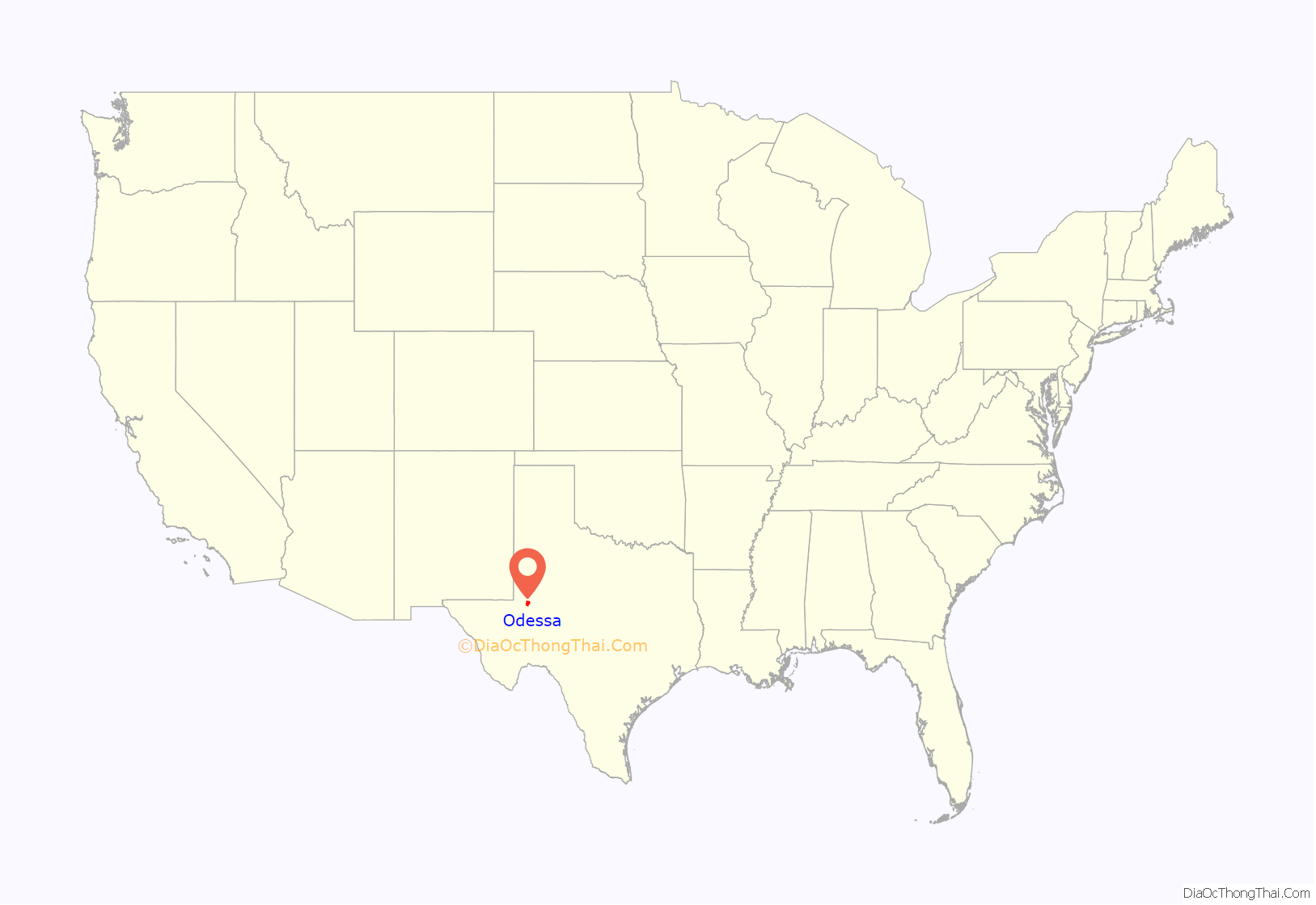
Odessa location map. Where is Odessa city?
History
Odessa was founded in 1881 as a water stop and cattle-shipping point on the Texas and Pacific Railway. The first post office opened in 1885. Odessa became the county seat of Ector County in 1891 when the county was first organized. It was incorporated as a city in 1927, after oil was discovered in Ector County on the Connell Ranch southwest of Odessa.
Odessa is said to have been named after Odesa, Ukraine, because of the local shortgrass prairie’s resemblance to Ukraine’s steppe landscape.
With the opening of the Penn Field in 1929, and the Cowden Field in 1930, oil became a major draw for new residents. In 1925, the population was just 750; by 1929, it had risen to 5,000. For the rest of the 20th century, the city’s population and economy grew rapidly during each of a succession of oil booms (roughly in the 1930s–1950s, 1970s, and 2010s), often with accompanying contractions during the succeeding busts (particularly in the 1960s and 1980s).
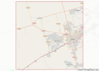
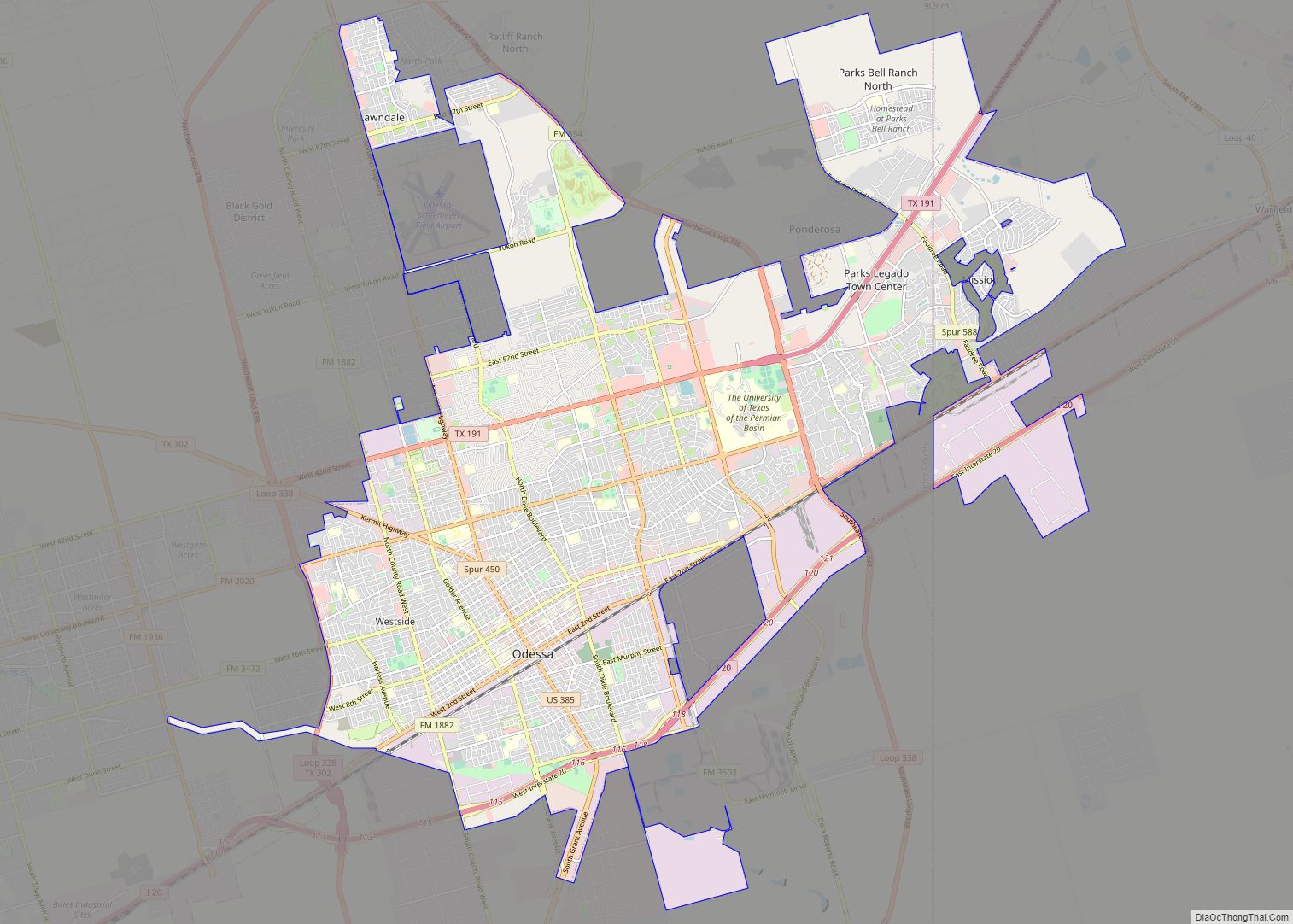
Odessa Road Map
Odessa city Satellite Map
Geography
Odessa is located along the southwestern edge of the Llano Estacado in West Texas. It is situated above the Permian Basin, a large sedimentary deposit that contains significant reserves of oil and natural gas.
According to the United States Census Bureau, the city has a total area of 44.0 square miles (114 km); 43.9 square miles (114 km) are land and 0.1 square miles (0.26 km) of it (0.05%) is covered by water.
Climate
Odessa has the semiarid climate typical of West Texas. Summers are hot and sunny, while winters are mild and dry. Most rainfall occurs in late spring and summer; snowfall is rare. The area exhibits a large diurnal temperature range and frequent high winds.
See also
Map of Texas State and its subdivision:- Anderson
- Andrews
- Angelina
- Aransas
- Archer
- Armstrong
- Atascosa
- Austin
- Bailey
- Bandera
- Bastrop
- Baylor
- Bee
- Bell
- Bexar
- Blanco
- Borden
- Bosque
- Bowie
- Brazoria
- Brazos
- Brewster
- Briscoe
- Brooks
- Brown
- Burleson
- Burnet
- Caldwell
- Calhoun
- Callahan
- Cameron
- Camp
- Carson
- Cass
- Castro
- Chambers
- Cherokee
- Childress
- Clay
- Cochran
- Coke
- Coleman
- Collin
- Collingsworth
- Colorado
- Comal
- Comanche
- Concho
- Cooke
- Coryell
- Cottle
- Crane
- Crockett
- Crosby
- Culberson
- Dallam
- Dallas
- Dawson
- Deaf Smith
- Delta
- Denton
- Dewitt
- Dickens
- Dimmit
- Donley
- Duval
- Eastland
- Ector
- Edwards
- El Paso
- Ellis
- Erath
- Falls
- Fannin
- Fayette
- Fisher
- Floyd
- Foard
- Fort Bend
- Franklin
- Freestone
- Frio
- Gaines
- Galveston
- Garza
- Gillespie
- Glasscock
- Goliad
- Gonzales
- Gray
- Grayson
- Gregg
- Grimes
- Guadalupe
- Hale
- Hall
- Hamilton
- Hansford
- Hardeman
- Hardin
- Harris
- Harrison
- Hartley
- Haskell
- Hays
- Hemphill
- Henderson
- Hidalgo
- Hill
- Hockley
- Hood
- Hopkins
- Houston
- Howard
- Hudspeth
- Hunt
- Hutchinson
- Irion
- Jack
- Jackson
- Jasper
- Jeff Davis
- Jefferson
- Jim Hogg
- Jim Wells
- Johnson
- Jones
- Karnes
- Kaufman
- Kendall
- Kenedy
- Kent
- Kerr
- Kimble
- King
- Kinney
- Kleberg
- Knox
- La Salle
- Lamar
- Lamb
- Lampasas
- Lavaca
- Lee
- Leon
- Liberty
- Limestone
- Lipscomb
- Live Oak
- Llano
- Loving
- Lubbock
- Lynn
- Madison
- Marion
- Martin
- Mason
- Matagorda
- Maverick
- McCulloch
- McLennan
- McMullen
- Medina
- Menard
- Midland
- Milam
- Mills
- Mitchell
- Montague
- Montgomery
- Moore
- Morris
- Motley
- Nacogdoches
- Navarro
- Newton
- Nolan
- Nueces
- Ochiltree
- Oldham
- Orange
- Palo Pinto
- Panola
- Parker
- Parmer
- Pecos
- Polk
- Potter
- Presidio
- Rains
- Randall
- Reagan
- Real
- Red River
- Reeves
- Refugio
- Roberts
- Robertson
- Rockwall
- Runnels
- Rusk
- Sabine
- San Augustine
- San Jacinto
- San Patricio
- San Saba
- Schleicher
- Scurry
- Shackelford
- Shelby
- Sherman
- Smith
- Somervell
- Starr
- Stephens
- Sterling
- Stonewall
- Sutton
- Swisher
- Tarrant
- Taylor
- Terrell
- Terry
- Throckmorton
- Titus
- Tom Green
- Travis
- Trinity
- Tyler
- Upshur
- Upton
- Uvalde
- Val Verde
- Van Zandt
- Victoria
- Walker
- Waller
- Ward
- Washington
- Webb
- Wharton
- Wheeler
- Wichita
- Wilbarger
- Willacy
- Williamson
- Wilson
- Winkler
- Wise
- Wood
- Yoakum
- Young
- Zapata
- Zavala
- Alabama
- Alaska
- Arizona
- Arkansas
- California
- Colorado
- Connecticut
- Delaware
- District of Columbia
- Florida
- Georgia
- Hawaii
- Idaho
- Illinois
- Indiana
- Iowa
- Kansas
- Kentucky
- Louisiana
- Maine
- Maryland
- Massachusetts
- Michigan
- Minnesota
- Mississippi
- Missouri
- Montana
- Nebraska
- Nevada
- New Hampshire
- New Jersey
- New Mexico
- New York
- North Carolina
- North Dakota
- Ohio
- Oklahoma
- Oregon
- Pennsylvania
- Rhode Island
- South Carolina
- South Dakota
- Tennessee
- Texas
- Utah
- Vermont
- Virginia
- Washington
- West Virginia
- Wisconsin
- Wyoming
