Palo Pinto is a census-designated place (CDP) and unincorporated community and county seat in Palo Pinto County, Texas, United States. This was a new CDP for the 2010 census with a population of 333.
| Name: | Palo Pinto CDP |
|---|---|
| LSAD Code: | 57 |
| LSAD Description: | CDP (suffix) |
| State: | Texas |
| County: | Palo Pinto County |
| Elevation: | 1,017 ft (310 m) |
| Total Area: | 0.9 sq mi (2.3 km²) |
| Land Area: | 0.9 sq mi (2.3 km²) |
| Water Area: | 0.0 sq mi (0.0 km²) |
| Total Population: | 333 |
| Population Density: | 370/sq mi (140/km²) |
| ZIP code: | 76484 |
| Area code: | 940 |
| FIPS code: | 4854876 |
| GNISfeature ID: | 2584712 |
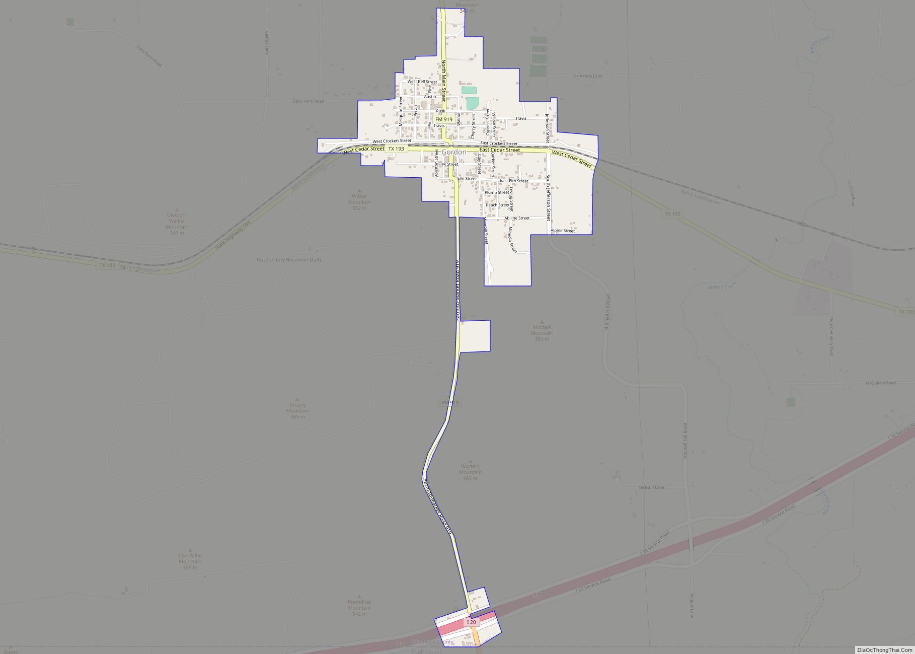
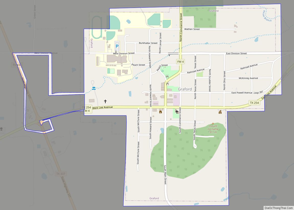
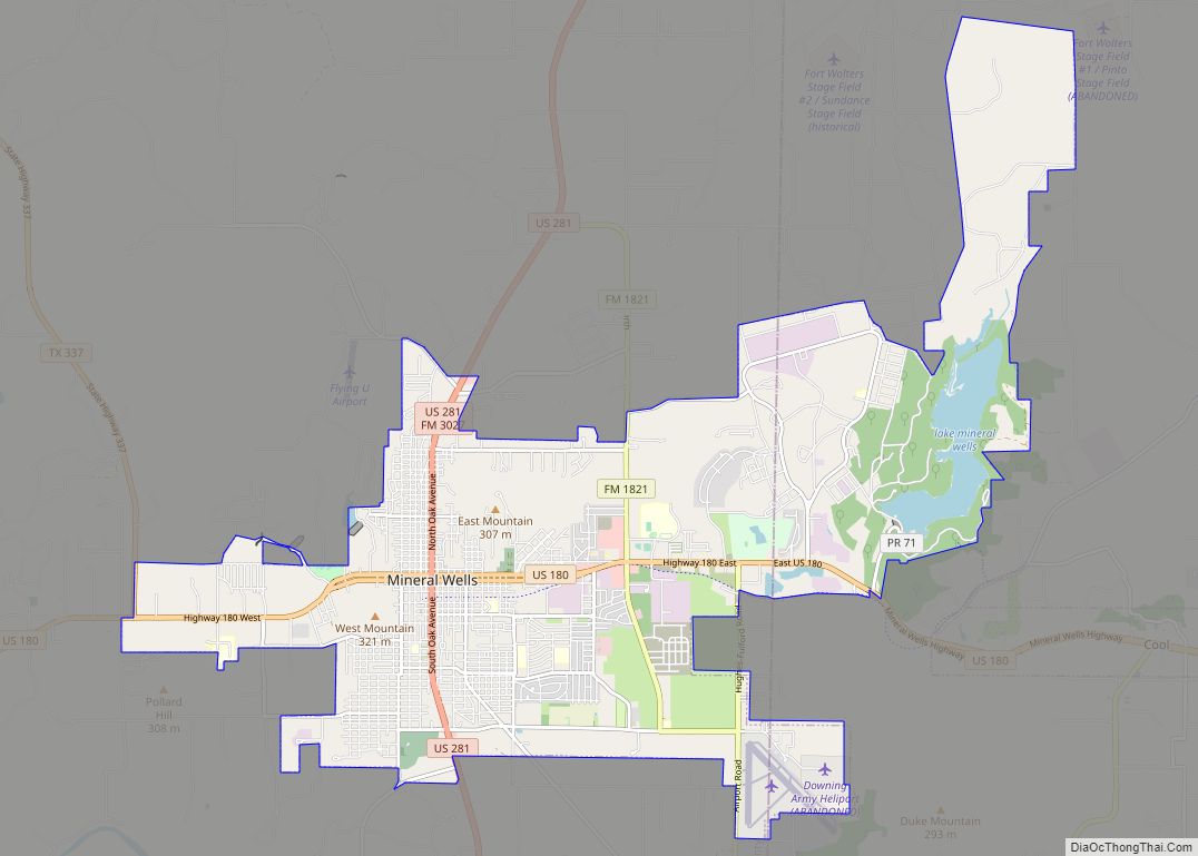
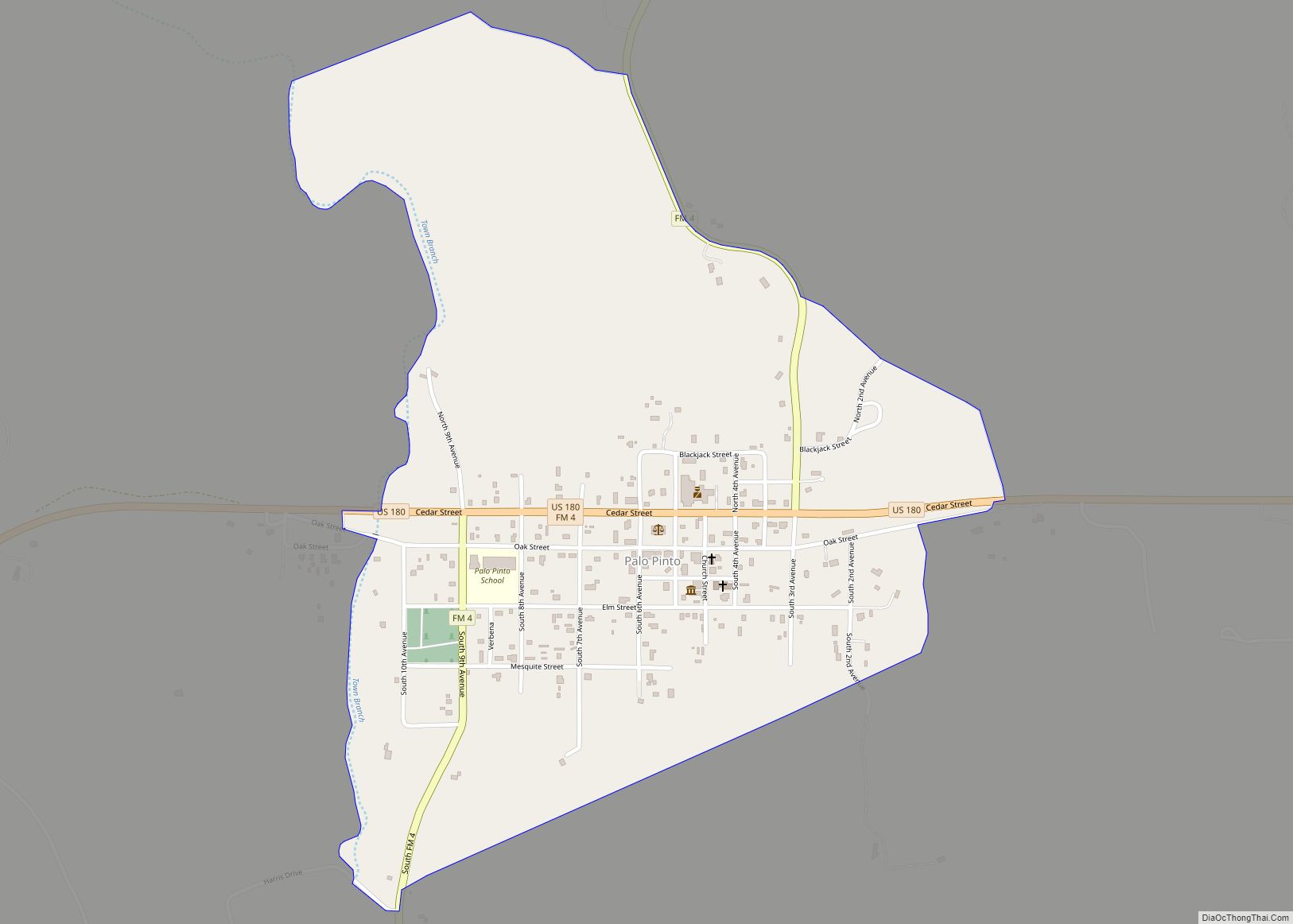
Online Interactive Map
Click on ![]() to view map in "full screen" mode.
to view map in "full screen" mode.
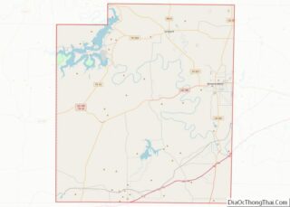
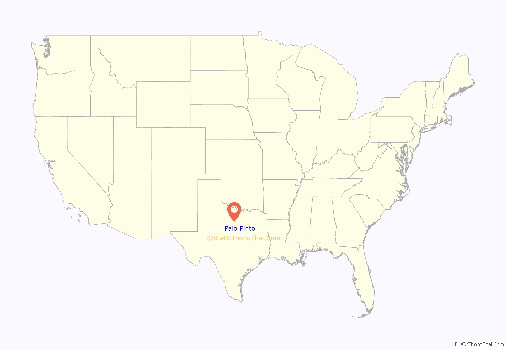
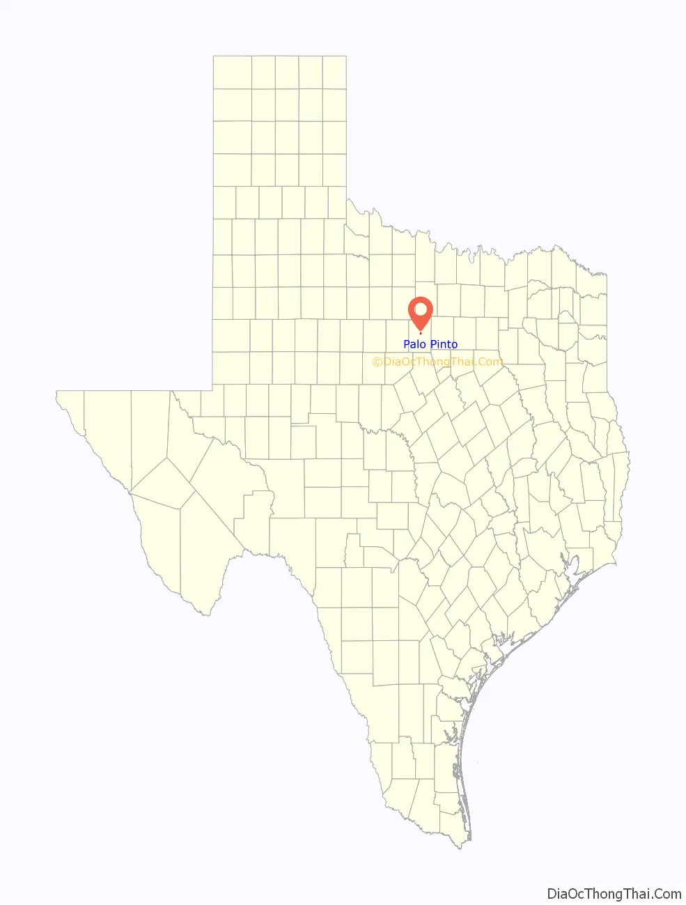
Palo Pinto location map. Where is Palo Pinto CDP?
History
When legislation calling for organization of Palo Pinto County was passed in 1856, a community was designated to be built within 5 miles of the center of the county to serve as the seat of government. The county was formally organized in May 1857, and on August 18 of the same year, the first session of the county court was held, when the plans for the new county seat were discussed and enacted. The community, then called Golconda, was laid out soon thereafter, and received its post office in March 1858. Around this time, the town (and, soon after, post office) were renamed Palo Pinto.
The first Palo Pinto County Courthouse was built in 1857, and a two-story stone jail was built soon after. By 1860, Palo Pinto had a hotel, a law firm, several saloons, and its own school. The Civil War, however, had a dire effect on commerce in the community, forcing several businesses to close. Over the next decade or so, it evolved into a shipping point for the local ranching industry. The county’s first newspaper opened in 1876, and throughout the 1870s, the town remained the center of government and commerce, and the only town and principal settlement in Palo Pinto County.
In 1880, Palo Pinto was bypassed by the Texas and Pacific Railway. Although it suffered, the population remained above 400 and it retained several businesses. The county seat has remained in Palo Pinto, though it was surpassed as the largest town in the county by Mineral Wells many years ago. The current Palo Pinto County Courthouse, located on US 180 at the center of town, was built in 1940. The population reached a high mark of 550 in 1947 before declining to around 400, a mark it has maintained fairly consistently ever since.
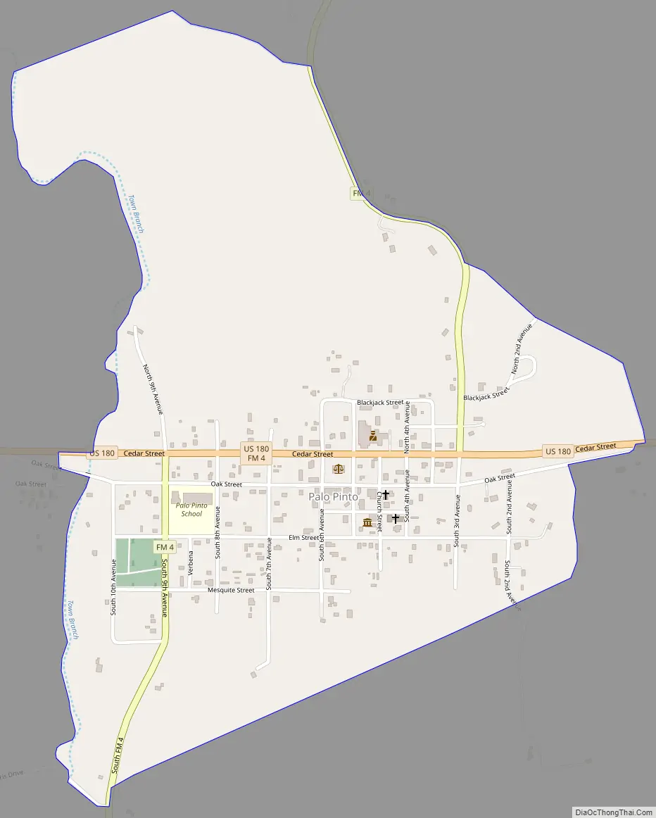
Palo Pinto Road Map
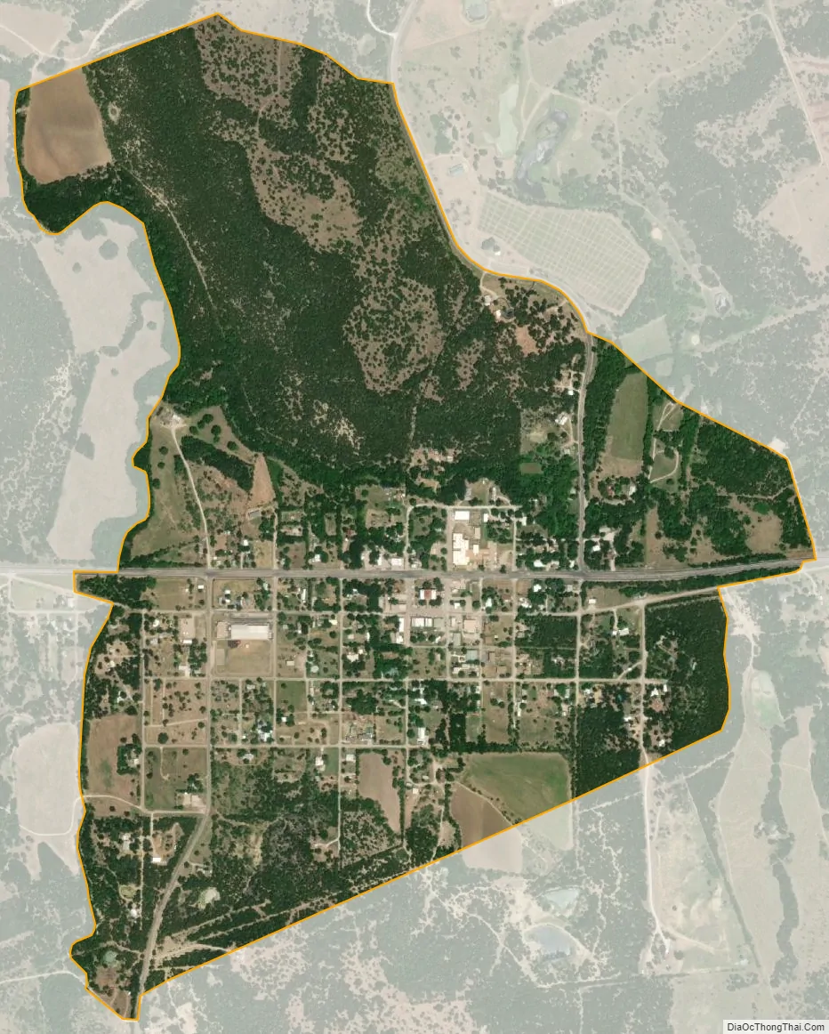
Palo Pinto city Satellite Map
Geography
Palo Pinto is located at 32°46′9″N 98°18′3″W / 32.76917°N 98.30083°W / 32.76917; -98.30083 (32.769149, -98.300766). The CDP has a total area of 0.9 square miles (2.3 km), all land.
See also
Map of Texas State and its subdivision:- Anderson
- Andrews
- Angelina
- Aransas
- Archer
- Armstrong
- Atascosa
- Austin
- Bailey
- Bandera
- Bastrop
- Baylor
- Bee
- Bell
- Bexar
- Blanco
- Borden
- Bosque
- Bowie
- Brazoria
- Brazos
- Brewster
- Briscoe
- Brooks
- Brown
- Burleson
- Burnet
- Caldwell
- Calhoun
- Callahan
- Cameron
- Camp
- Carson
- Cass
- Castro
- Chambers
- Cherokee
- Childress
- Clay
- Cochran
- Coke
- Coleman
- Collin
- Collingsworth
- Colorado
- Comal
- Comanche
- Concho
- Cooke
- Coryell
- Cottle
- Crane
- Crockett
- Crosby
- Culberson
- Dallam
- Dallas
- Dawson
- Deaf Smith
- Delta
- Denton
- Dewitt
- Dickens
- Dimmit
- Donley
- Duval
- Eastland
- Ector
- Edwards
- El Paso
- Ellis
- Erath
- Falls
- Fannin
- Fayette
- Fisher
- Floyd
- Foard
- Fort Bend
- Franklin
- Freestone
- Frio
- Gaines
- Galveston
- Garza
- Gillespie
- Glasscock
- Goliad
- Gonzales
- Gray
- Grayson
- Gregg
- Grimes
- Guadalupe
- Hale
- Hall
- Hamilton
- Hansford
- Hardeman
- Hardin
- Harris
- Harrison
- Hartley
- Haskell
- Hays
- Hemphill
- Henderson
- Hidalgo
- Hill
- Hockley
- Hood
- Hopkins
- Houston
- Howard
- Hudspeth
- Hunt
- Hutchinson
- Irion
- Jack
- Jackson
- Jasper
- Jeff Davis
- Jefferson
- Jim Hogg
- Jim Wells
- Johnson
- Jones
- Karnes
- Kaufman
- Kendall
- Kenedy
- Kent
- Kerr
- Kimble
- King
- Kinney
- Kleberg
- Knox
- La Salle
- Lamar
- Lamb
- Lampasas
- Lavaca
- Lee
- Leon
- Liberty
- Limestone
- Lipscomb
- Live Oak
- Llano
- Loving
- Lubbock
- Lynn
- Madison
- Marion
- Martin
- Mason
- Matagorda
- Maverick
- McCulloch
- McLennan
- McMullen
- Medina
- Menard
- Midland
- Milam
- Mills
- Mitchell
- Montague
- Montgomery
- Moore
- Morris
- Motley
- Nacogdoches
- Navarro
- Newton
- Nolan
- Nueces
- Ochiltree
- Oldham
- Orange
- Palo Pinto
- Panola
- Parker
- Parmer
- Pecos
- Polk
- Potter
- Presidio
- Rains
- Randall
- Reagan
- Real
- Red River
- Reeves
- Refugio
- Roberts
- Robertson
- Rockwall
- Runnels
- Rusk
- Sabine
- San Augustine
- San Jacinto
- San Patricio
- San Saba
- Schleicher
- Scurry
- Shackelford
- Shelby
- Sherman
- Smith
- Somervell
- Starr
- Stephens
- Sterling
- Stonewall
- Sutton
- Swisher
- Tarrant
- Taylor
- Terrell
- Terry
- Throckmorton
- Titus
- Tom Green
- Travis
- Trinity
- Tyler
- Upshur
- Upton
- Uvalde
- Val Verde
- Van Zandt
- Victoria
- Walker
- Waller
- Ward
- Washington
- Webb
- Wharton
- Wheeler
- Wichita
- Wilbarger
- Willacy
- Williamson
- Wilson
- Winkler
- Wise
- Wood
- Yoakum
- Young
- Zapata
- Zavala
- Alabama
- Alaska
- Arizona
- Arkansas
- California
- Colorado
- Connecticut
- Delaware
- District of Columbia
- Florida
- Georgia
- Hawaii
- Idaho
- Illinois
- Indiana
- Iowa
- Kansas
- Kentucky
- Louisiana
- Maine
- Maryland
- Massachusetts
- Michigan
- Minnesota
- Mississippi
- Missouri
- Montana
- Nebraska
- Nevada
- New Hampshire
- New Jersey
- New Mexico
- New York
- North Carolina
- North Dakota
- Ohio
- Oklahoma
- Oregon
- Pennsylvania
- Rhode Island
- South Carolina
- South Dakota
- Tennessee
- Texas
- Utah
- Vermont
- Virginia
- Washington
- West Virginia
- Wisconsin
- Wyoming