Paloma Creek is a master-planned community in Northeastern Denton County, Texas, United States. The community is listed by the U.S. Census Bureau as two separate census-designated places, “Paloma Creek” and “Paloma Creek South“, separated by U.S. Highway 380. As of the 2010 census, the Paloma Creek CDP (known locally as “Paloma Creek North”) had a population of 2,501, while Paloma Creek South had a population of 2,753. As of 2022, the HOA currently estimates the population to be approximately 20,000.
Paloma Creek was developed by Dallas-based Provident Realty Advisors over an area of approximately 1,200 acres (4.9 km). The complete master-planned community is located north and south of U.S. Route 380 in an unincorporated area governed by the Denton County Fresh Water Supply Districts 8-A, 8-B, 11-A, 11-B, and 11-C. The Lakeside Estates neighborhood shares Paloma Creek’s HOA and is located on the West side of South Paloma Creek. Although it is within the town limits of Little Elm, the vast majority of the 5,600 homes are within the five FWSDs. The homes referred to as North Paloma Creek that are North of 380 have Aubrey mailing addresses. The homes in South Paloma Creek have Little Elm mailing addresses.
FWSD 11-B is also shared with Northlake Estates; however, those homes are not part of Paloma Creek. They merely share infrastructure. Phase I was completed in 2022 with 97 homes and Phase II began shortly thereafter with an additional 252 homes slated for completion.
The proximity to US Route 380 Highway, Dallas North Tollway, and Lewisville Lake Toll Bridge are major factors for the rapid residential growth in the area.
In early 2005, the first phase of homes was completed. Upon its completion, the community will be populated with 5,600 homes constructed by several different builders.
Paloma Creek is divided into the sections listed below:
- Paloma Creek North – 900 home sites, comprising the “Paloma Creek” census-designated place
- Paloma Creek South – 4,700 home sites
| Name: | Paloma Creek CDP |
|---|---|
| LSAD Code: | 57 |
| LSAD Description: | CDP (suffix) |
| State: | Texas |
| County: | Denton County |
| Total Area: | 0.4 sq mi (1.1 km²) |
| Land Area: | 0.4 sq mi (1.1 km²) |
| Water Area: | 0.0 sq mi (0.0 km²) |
| Total Population: | 5,254 |
| Population Density: | 12,000/sq mi (4,800/km²) |
| ZIP code: | 76227, 75068 |
| Area code: | 214, 469, 972, 945 |
| FIPS code: | 4854868 |
| Website: | www.palomacreek.orgwww.palomacreekhoa.com |
Online Interactive Map
Click on ![]() to view map in "full screen" mode.
to view map in "full screen" mode.
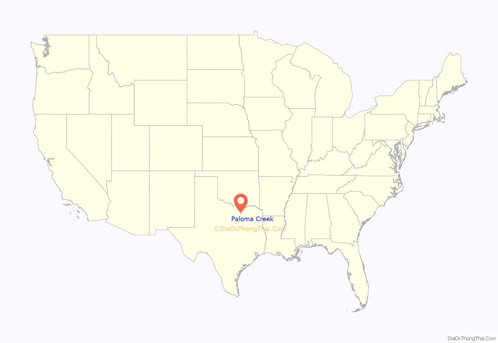
Paloma Creek location map. Where is Paloma Creek CDP?
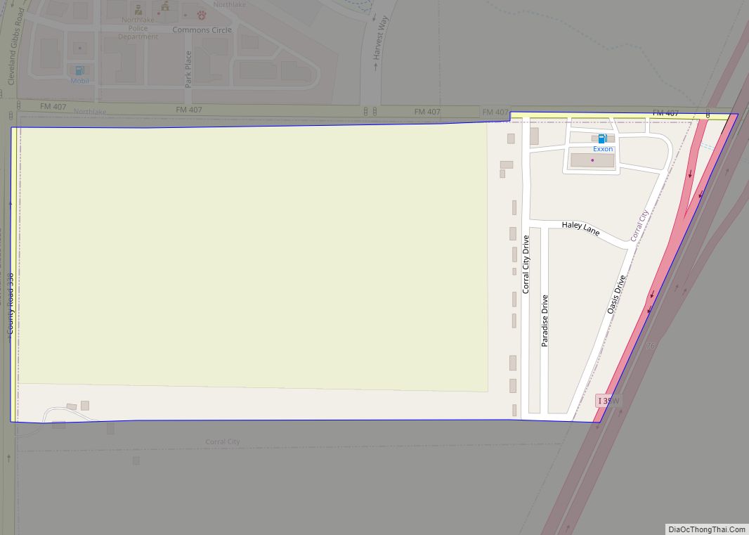
Paloma Creek Road Map
Paloma Creek city Satellite Map
See also
Map of Texas State and its subdivision:- Anderson
- Andrews
- Angelina
- Aransas
- Archer
- Armstrong
- Atascosa
- Austin
- Bailey
- Bandera
- Bastrop
- Baylor
- Bee
- Bell
- Bexar
- Blanco
- Borden
- Bosque
- Bowie
- Brazoria
- Brazos
- Brewster
- Briscoe
- Brooks
- Brown
- Burleson
- Burnet
- Caldwell
- Calhoun
- Callahan
- Cameron
- Camp
- Carson
- Cass
- Castro
- Chambers
- Cherokee
- Childress
- Clay
- Cochran
- Coke
- Coleman
- Collin
- Collingsworth
- Colorado
- Comal
- Comanche
- Concho
- Cooke
- Coryell
- Cottle
- Crane
- Crockett
- Crosby
- Culberson
- Dallam
- Dallas
- Dawson
- Deaf Smith
- Delta
- Denton
- Dewitt
- Dickens
- Dimmit
- Donley
- Duval
- Eastland
- Ector
- Edwards
- El Paso
- Ellis
- Erath
- Falls
- Fannin
- Fayette
- Fisher
- Floyd
- Foard
- Fort Bend
- Franklin
- Freestone
- Frio
- Gaines
- Galveston
- Garza
- Gillespie
- Glasscock
- Goliad
- Gonzales
- Gray
- Grayson
- Gregg
- Grimes
- Guadalupe
- Hale
- Hall
- Hamilton
- Hansford
- Hardeman
- Hardin
- Harris
- Harrison
- Hartley
- Haskell
- Hays
- Hemphill
- Henderson
- Hidalgo
- Hill
- Hockley
- Hood
- Hopkins
- Houston
- Howard
- Hudspeth
- Hunt
- Hutchinson
- Irion
- Jack
- Jackson
- Jasper
- Jeff Davis
- Jefferson
- Jim Hogg
- Jim Wells
- Johnson
- Jones
- Karnes
- Kaufman
- Kendall
- Kenedy
- Kent
- Kerr
- Kimble
- King
- Kinney
- Kleberg
- Knox
- La Salle
- Lamar
- Lamb
- Lampasas
- Lavaca
- Lee
- Leon
- Liberty
- Limestone
- Lipscomb
- Live Oak
- Llano
- Loving
- Lubbock
- Lynn
- Madison
- Marion
- Martin
- Mason
- Matagorda
- Maverick
- McCulloch
- McLennan
- McMullen
- Medina
- Menard
- Midland
- Milam
- Mills
- Mitchell
- Montague
- Montgomery
- Moore
- Morris
- Motley
- Nacogdoches
- Navarro
- Newton
- Nolan
- Nueces
- Ochiltree
- Oldham
- Orange
- Palo Pinto
- Panola
- Parker
- Parmer
- Pecos
- Polk
- Potter
- Presidio
- Rains
- Randall
- Reagan
- Real
- Red River
- Reeves
- Refugio
- Roberts
- Robertson
- Rockwall
- Runnels
- Rusk
- Sabine
- San Augustine
- San Jacinto
- San Patricio
- San Saba
- Schleicher
- Scurry
- Shackelford
- Shelby
- Sherman
- Smith
- Somervell
- Starr
- Stephens
- Sterling
- Stonewall
- Sutton
- Swisher
- Tarrant
- Taylor
- Terrell
- Terry
- Throckmorton
- Titus
- Tom Green
- Travis
- Trinity
- Tyler
- Upshur
- Upton
- Uvalde
- Val Verde
- Van Zandt
- Victoria
- Walker
- Waller
- Ward
- Washington
- Webb
- Wharton
- Wheeler
- Wichita
- Wilbarger
- Willacy
- Williamson
- Wilson
- Winkler
- Wise
- Wood
- Yoakum
- Young
- Zapata
- Zavala
- Alabama
- Alaska
- Arizona
- Arkansas
- California
- Colorado
- Connecticut
- Delaware
- District of Columbia
- Florida
- Georgia
- Hawaii
- Idaho
- Illinois
- Indiana
- Iowa
- Kansas
- Kentucky
- Louisiana
- Maine
- Maryland
- Massachusetts
- Michigan
- Minnesota
- Mississippi
- Missouri
- Montana
- Nebraska
- Nevada
- New Hampshire
- New Jersey
- New Mexico
- New York
- North Carolina
- North Dakota
- Ohio
- Oklahoma
- Oregon
- Pennsylvania
- Rhode Island
- South Carolina
- South Dakota
- Tennessee
- Texas
- Utah
- Vermont
- Virginia
- Washington
- West Virginia
- Wisconsin
- Wyoming
