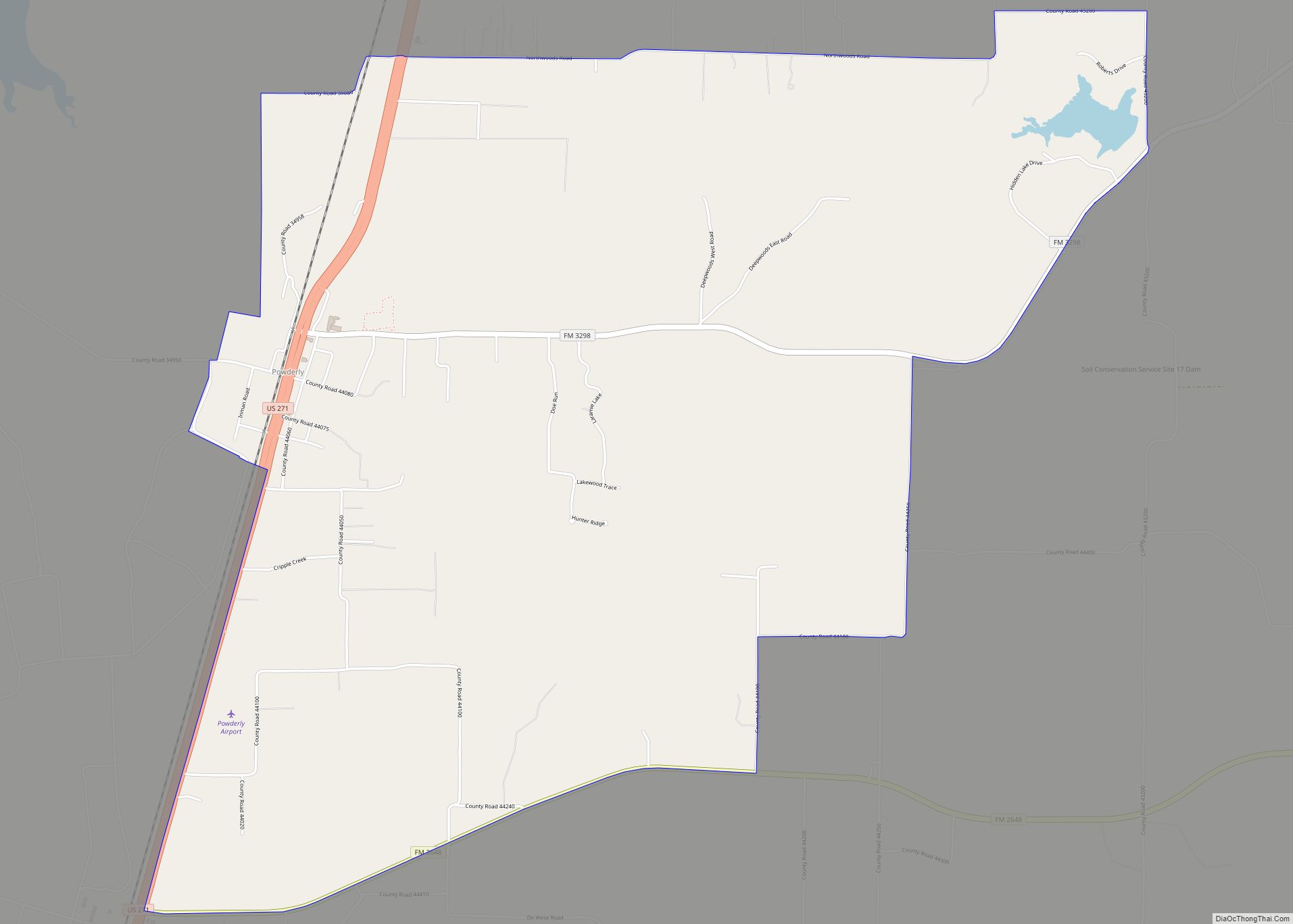
Powderly is a census-designated place (CDP) and unincorporated community in Lamar County, Texas, United States. As of the 2010 census, the population was 1,178.
| Name: | Powderly CDP |
|---|---|
| LSAD Code: | 57 |
| LSAD Description: | CDP (suffix) |
| State: | Texas |
| County: | Lamar County |
| Elevation: | 530 ft (160 m) |
| Total Area: | 7.44 sq mi (19.27 km²) |
| Land Area: | 7.25 sq mi (18.79 km²) |
| Water Area: | 0.19 sq mi (0.48 km²) |
| Total Population: | 1,178 |
| Population Density: | 162/sq mi (62.7/km²) |
| FIPS code: | 4859156 |
| GNISfeature ID: | 1365698 |
Online Interactive Map
Click on ![]() to view map in "full screen" mode.
to view map in "full screen" mode.
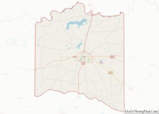
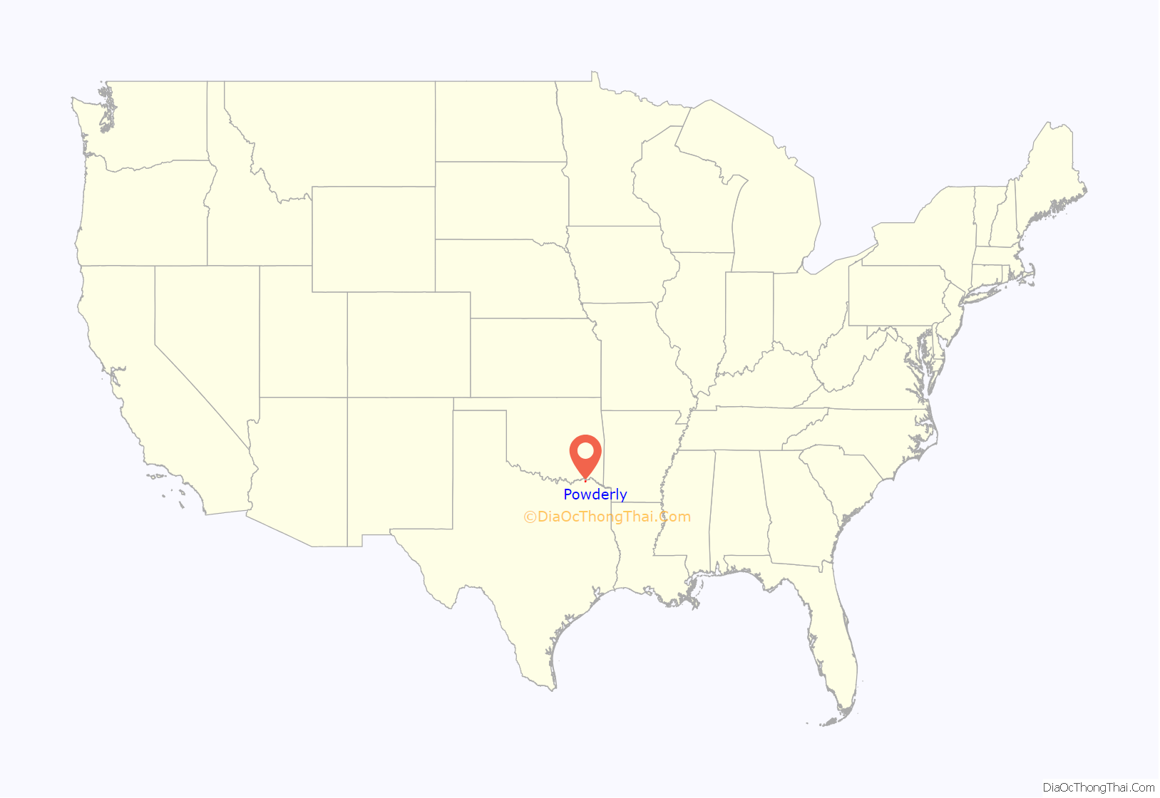
Powderly location map. Where is Powderly CDP?
History
Powderly was settled around the time of the Civil War and was originally known as “Lenoir”. When the St. Louis-San Francisco Railway was built through the area in the 1880s, the community was renamed “Powderly” in honor of Terence V. Powderly, a labor leader and later a commissioner of immigration in the McKinley administration.
A post office was established in 1888, and by 1890 the town had a general store, two cotton gins, a gristmill, a sawmill, a blacksmith, and an estimated population of thirty. In 1914 the town’s population was 100. During the 1920s, however, the community declined; in the early 1930s Powderly had a church, a school, six rated businesses, and a reported 63 residents. Since that time the population has increased, reaching 120 in 1950 and 150 in 1965. In 1990 Powderly had a church, a school, a number of houses, and an estimated population of 185. The population remained the same in 2000. In 2010 the Powderly Census-Designated Place included land east of the traditional townsite and reported a much larger population, at 1,178. On November 4, 2022, Powderly was hit by a violent EF4 tornado.
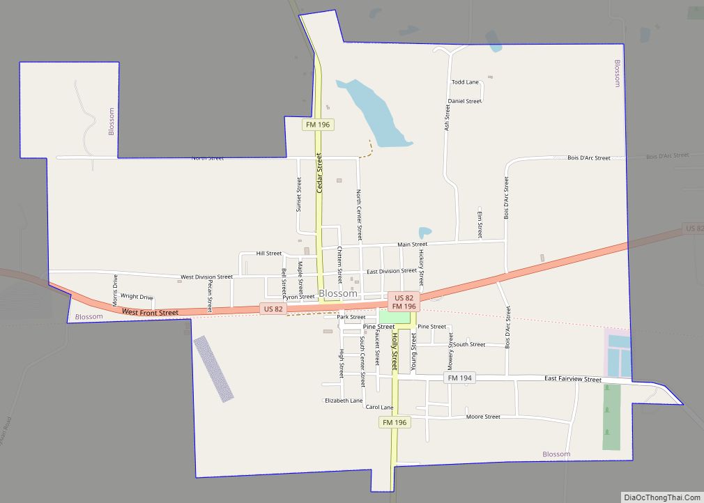
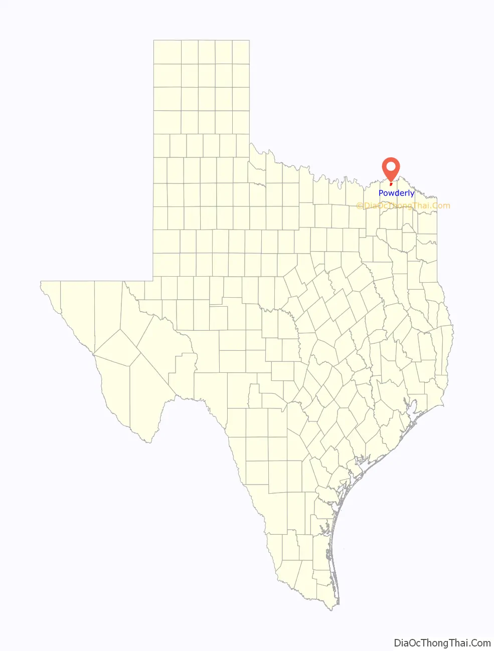
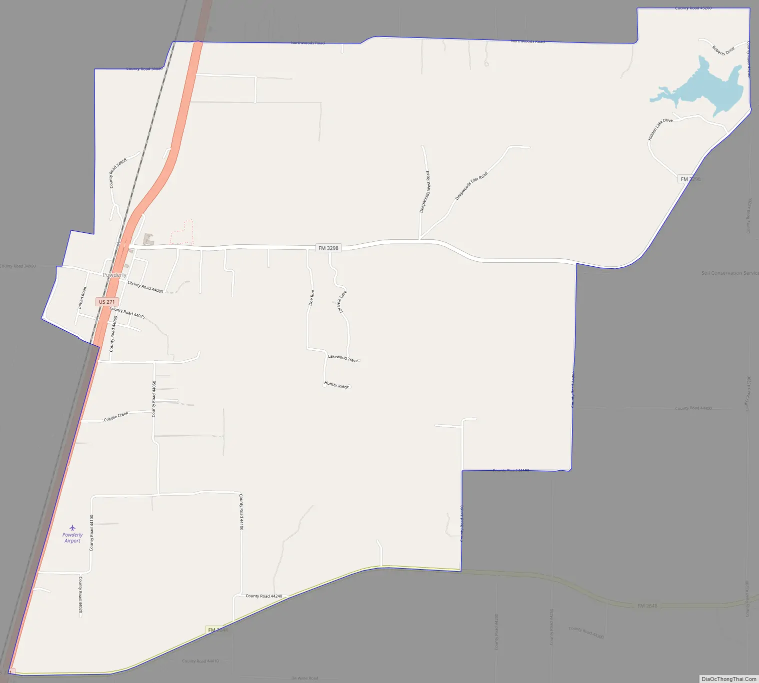
Powderly Road Map
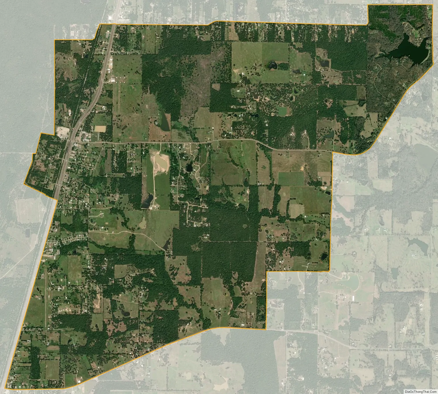
Powderly city Satellite Map
Geography
Powderly is located on U.S. Highway 271, 10 miles (16 km) north of Paris in north-central Lamar County. It is 5 miles (8 km) south of Highway 271’s crossing of the Red River at the Oklahoma border.
According to the U.S. Census Bureau, the Powderly CDP has a total area of 7.5 square miles (19.3 km), of which 7.3 square miles (18.8 km) are land and 0.2 square miles (0.5 km), or 2.49%, are water. The center of town is on a low ridge, draining west to Pat Mayse Lake and east to Pine Creek, a tributary of the Red River.
See also
Map of Texas State and its subdivision:- Anderson
- Andrews
- Angelina
- Aransas
- Archer
- Armstrong
- Atascosa
- Austin
- Bailey
- Bandera
- Bastrop
- Baylor
- Bee
- Bell
- Bexar
- Blanco
- Borden
- Bosque
- Bowie
- Brazoria
- Brazos
- Brewster
- Briscoe
- Brooks
- Brown
- Burleson
- Burnet
- Caldwell
- Calhoun
- Callahan
- Cameron
- Camp
- Carson
- Cass
- Castro
- Chambers
- Cherokee
- Childress
- Clay
- Cochran
- Coke
- Coleman
- Collin
- Collingsworth
- Colorado
- Comal
- Comanche
- Concho
- Cooke
- Coryell
- Cottle
- Crane
- Crockett
- Crosby
- Culberson
- Dallam
- Dallas
- Dawson
- Deaf Smith
- Delta
- Denton
- Dewitt
- Dickens
- Dimmit
- Donley
- Duval
- Eastland
- Ector
- Edwards
- El Paso
- Ellis
- Erath
- Falls
- Fannin
- Fayette
- Fisher
- Floyd
- Foard
- Fort Bend
- Franklin
- Freestone
- Frio
- Gaines
- Galveston
- Garza
- Gillespie
- Glasscock
- Goliad
- Gonzales
- Gray
- Grayson
- Gregg
- Grimes
- Guadalupe
- Hale
- Hall
- Hamilton
- Hansford
- Hardeman
- Hardin
- Harris
- Harrison
- Hartley
- Haskell
- Hays
- Hemphill
- Henderson
- Hidalgo
- Hill
- Hockley
- Hood
- Hopkins
- Houston
- Howard
- Hudspeth
- Hunt
- Hutchinson
- Irion
- Jack
- Jackson
- Jasper
- Jeff Davis
- Jefferson
- Jim Hogg
- Jim Wells
- Johnson
- Jones
- Karnes
- Kaufman
- Kendall
- Kenedy
- Kent
- Kerr
- Kimble
- King
- Kinney
- Kleberg
- Knox
- La Salle
- Lamar
- Lamb
- Lampasas
- Lavaca
- Lee
- Leon
- Liberty
- Limestone
- Lipscomb
- Live Oak
- Llano
- Loving
- Lubbock
- Lynn
- Madison
- Marion
- Martin
- Mason
- Matagorda
- Maverick
- McCulloch
- McLennan
- McMullen
- Medina
- Menard
- Midland
- Milam
- Mills
- Mitchell
- Montague
- Montgomery
- Moore
- Morris
- Motley
- Nacogdoches
- Navarro
- Newton
- Nolan
- Nueces
- Ochiltree
- Oldham
- Orange
- Palo Pinto
- Panola
- Parker
- Parmer
- Pecos
- Polk
- Potter
- Presidio
- Rains
- Randall
- Reagan
- Real
- Red River
- Reeves
- Refugio
- Roberts
- Robertson
- Rockwall
- Runnels
- Rusk
- Sabine
- San Augustine
- San Jacinto
- San Patricio
- San Saba
- Schleicher
- Scurry
- Shackelford
- Shelby
- Sherman
- Smith
- Somervell
- Starr
- Stephens
- Sterling
- Stonewall
- Sutton
- Swisher
- Tarrant
- Taylor
- Terrell
- Terry
- Throckmorton
- Titus
- Tom Green
- Travis
- Trinity
- Tyler
- Upshur
- Upton
- Uvalde
- Val Verde
- Van Zandt
- Victoria
- Walker
- Waller
- Ward
- Washington
- Webb
- Wharton
- Wheeler
- Wichita
- Wilbarger
- Willacy
- Williamson
- Wilson
- Winkler
- Wise
- Wood
- Yoakum
- Young
- Zapata
- Zavala
- Alabama
- Alaska
- Arizona
- Arkansas
- California
- Colorado
- Connecticut
- Delaware
- District of Columbia
- Florida
- Georgia
- Hawaii
- Idaho
- Illinois
- Indiana
- Iowa
- Kansas
- Kentucky
- Louisiana
- Maine
- Maryland
- Massachusetts
- Michigan
- Minnesota
- Mississippi
- Missouri
- Montana
- Nebraska
- Nevada
- New Hampshire
- New Jersey
- New Mexico
- New York
- North Carolina
- North Dakota
- Ohio
- Oklahoma
- Oregon
- Pennsylvania
- Rhode Island
- South Carolina
- South Dakota
- Tennessee
- Texas
- Utah
- Vermont
- Virginia
- Washington
- West Virginia
- Wisconsin
- Wyoming