Premont is a city in Jim Wells County, Texas, United States. The population was 2,653 at the 2010 census.
| Name: | Premont city |
|---|---|
| LSAD Code: | 25 |
| LSAD Description: | city (suffix) |
| State: | Texas |
| County: | Jim Wells County |
| Elevation: | 161 ft (49 m) |
| Total Area: | 1.71 sq mi (4.43 km²) |
| Land Area: | 1.71 sq mi (4.43 km²) |
| Water Area: | 0.00 sq mi (0.00 km²) |
| Total Population: | 2,653 |
| Population Density: | 1,487.13/sq mi (574.27/km²) |
| ZIP code: | 78375 |
| Area code: | 361 |
| FIPS code: | 4859384 |
| GNISfeature ID: | 1344536 |
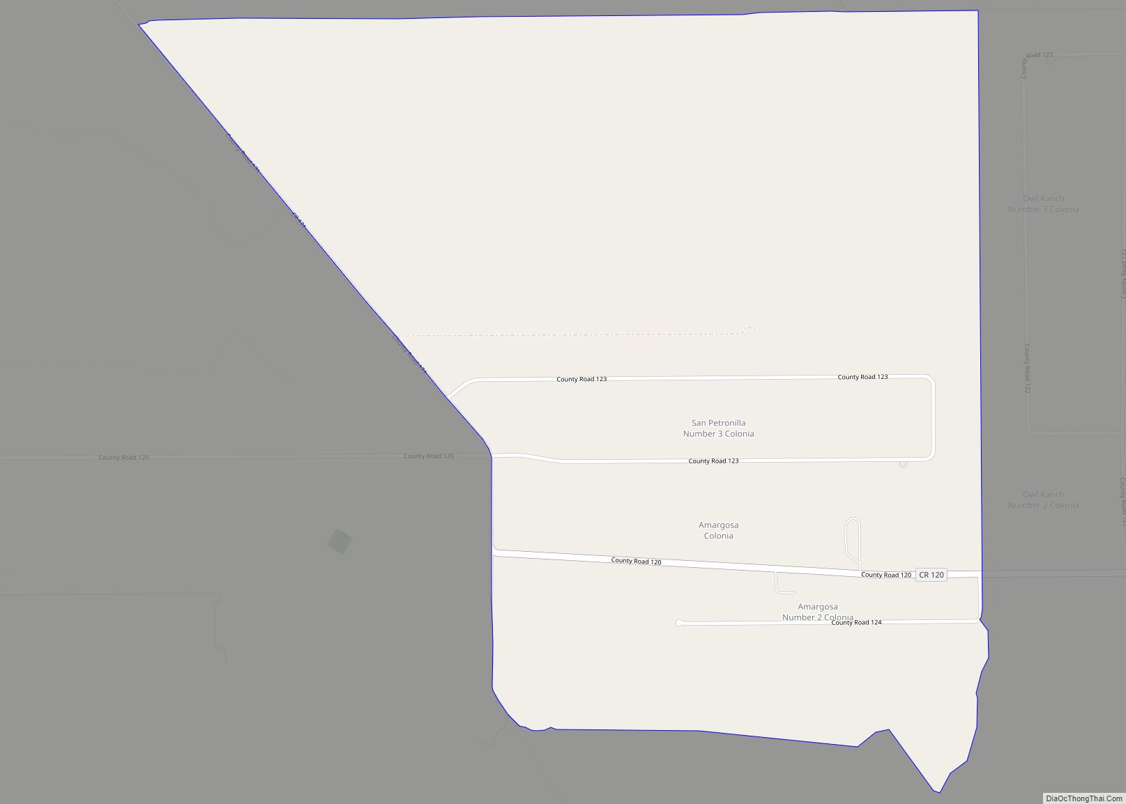
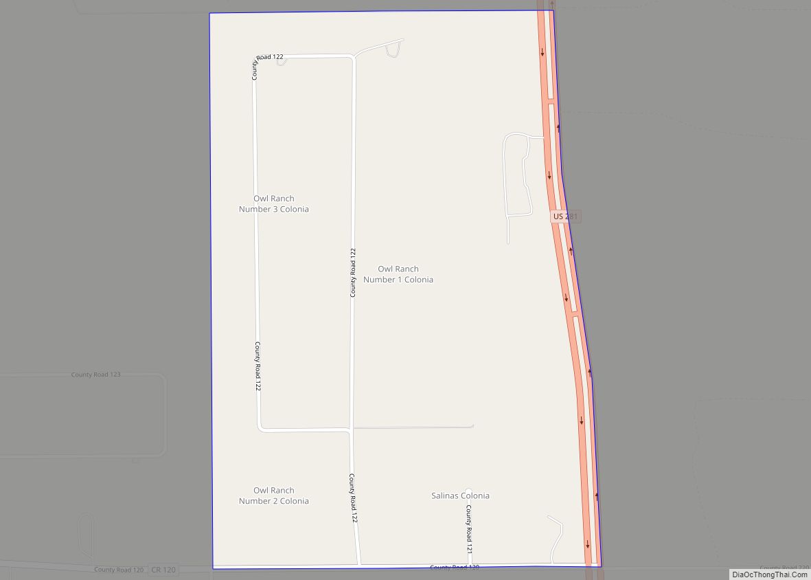
Online Interactive Map
Click on ![]() to view map in "full screen" mode.
to view map in "full screen" mode.
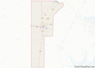
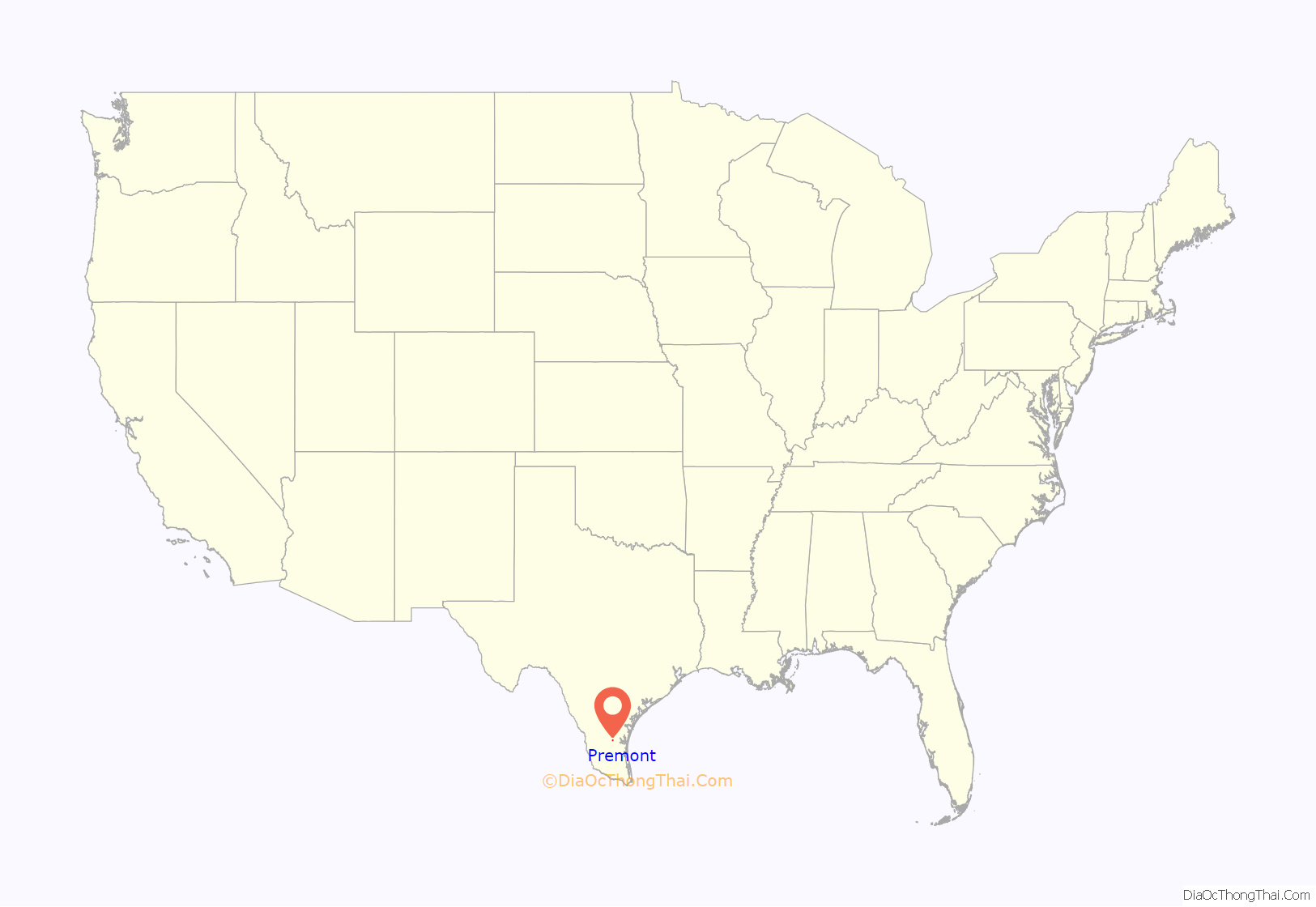
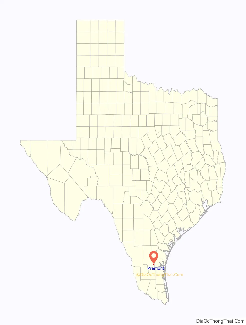
Premont location map. Where is Premont city?
History
The site was part of the Los Olmos y Loma Blanca land grant issues to Ignacio de la Peña on December 9, 1831. Peña and his heirs occupied the land for the next thirty years. On November 1, 1907, banker and real estate developer R.P. Halderman purchased a 43,275-acre (175.13 km) plot of land from the heirs of Henry Seeligson for $540,939.50. He then subdivided the land into 5-and-10-acre (20,000 and 40,000 m) tracts to entice residents from the northern U.S to invest in South Texas, citing the region’s warm climate and ideal planting conditions.
In 1908 or 1909, a town site was surveyed by C.F.H. Von Bulcher. Halderman named the new community “Premont”, after Seeligson Ranch foreman Charles Premont. A section of the community, located east of the railroad, was set aside for Mexican and Mexican-American families. A plaza called Hidalgo Park was designed and built to serve those families. R.P. Halderman sold hundreds of lots to Charles Premont, who in turn served as the real estate agent for the Mexican families, as he was fluent in Spanish. He also donated the funds to build Santa Theresa Catholic Church, a Roman Catholic institution that now ministers to three missions. Several businesses, including a post office and a general store owned by Andrés Canales, opened in the community during its early years. Premont became part of the newly organized Jim Wells County on March 11, 1911. In an election held on May 6, 1911, Charles Premont was elected as the county’s first commissioner. By 1912, Premont had ten businesses and an estimated population of 800. That figure had risen to approximately 1,000 by 1914, the same year that the San Antonio and Aransas Pass Railway built a stop at Premont. The Premont Independent School District was created in 1921. At the time of its creation, Premont ISD was the largest school district in Jim Wells County. Premont’s population had declined to roughly 600 by 1925.
The discovery of oil in the area during the early 1930s caused the community to grow substantially. On May 12, 1933, Premont’s first producing oil well was drilled. The community incorporated in 1939 and had a population of 1,080 in 1940. With its revitalized and oil-based economy, Premont continued to grow and prosper during the early post-war years. The town was home to 2,619 residents in 1950 and had a total of 55 businesses in 1952. In 1955, American Legion Post No. 297 was dedicated in Premont. The population peaked at 3,282 in the 1970 census and has slowly declined since.
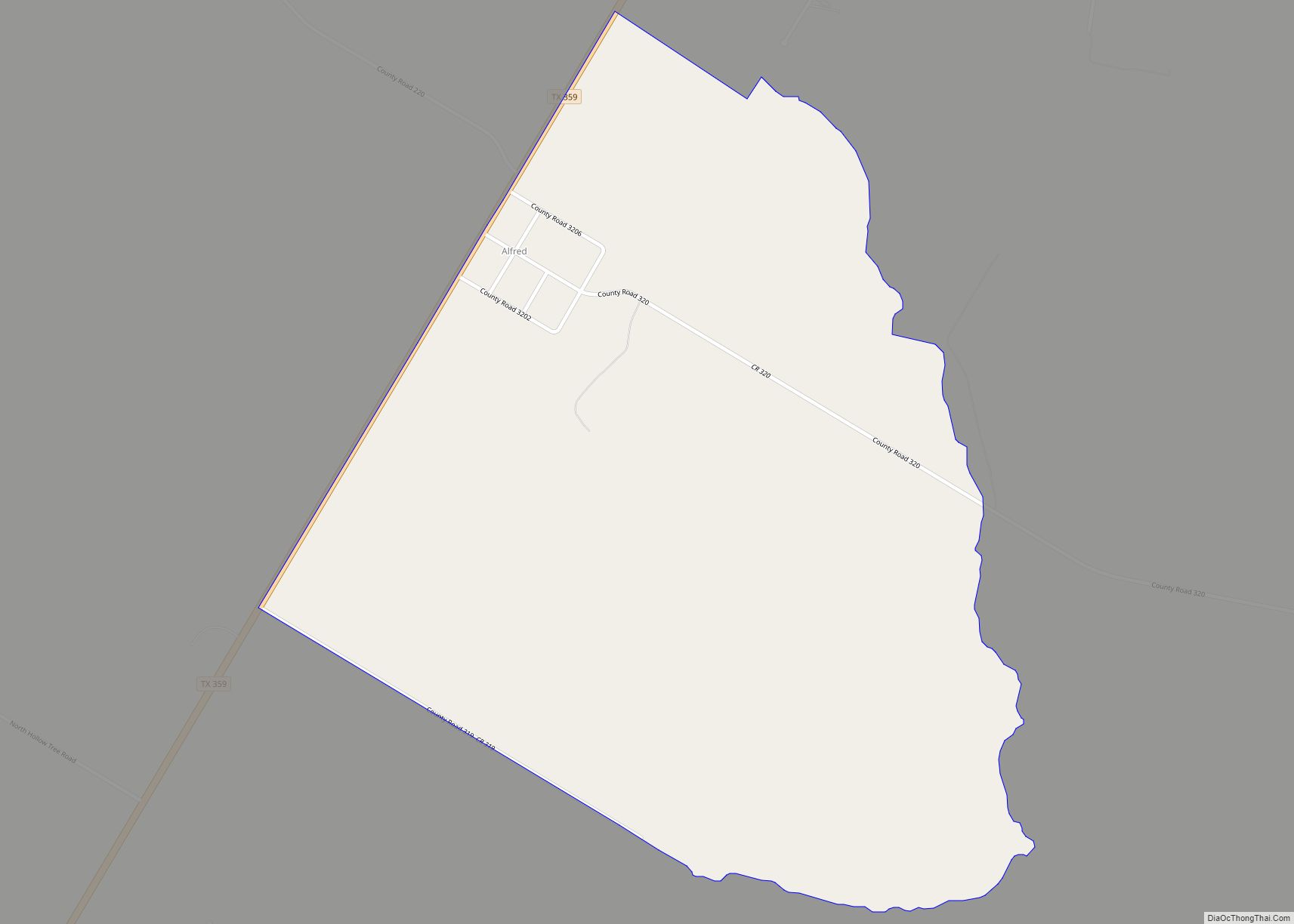
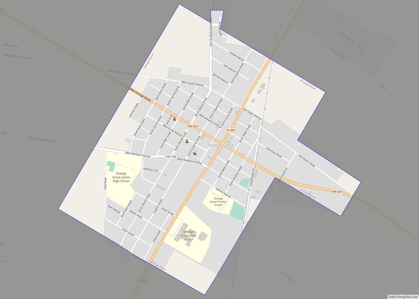
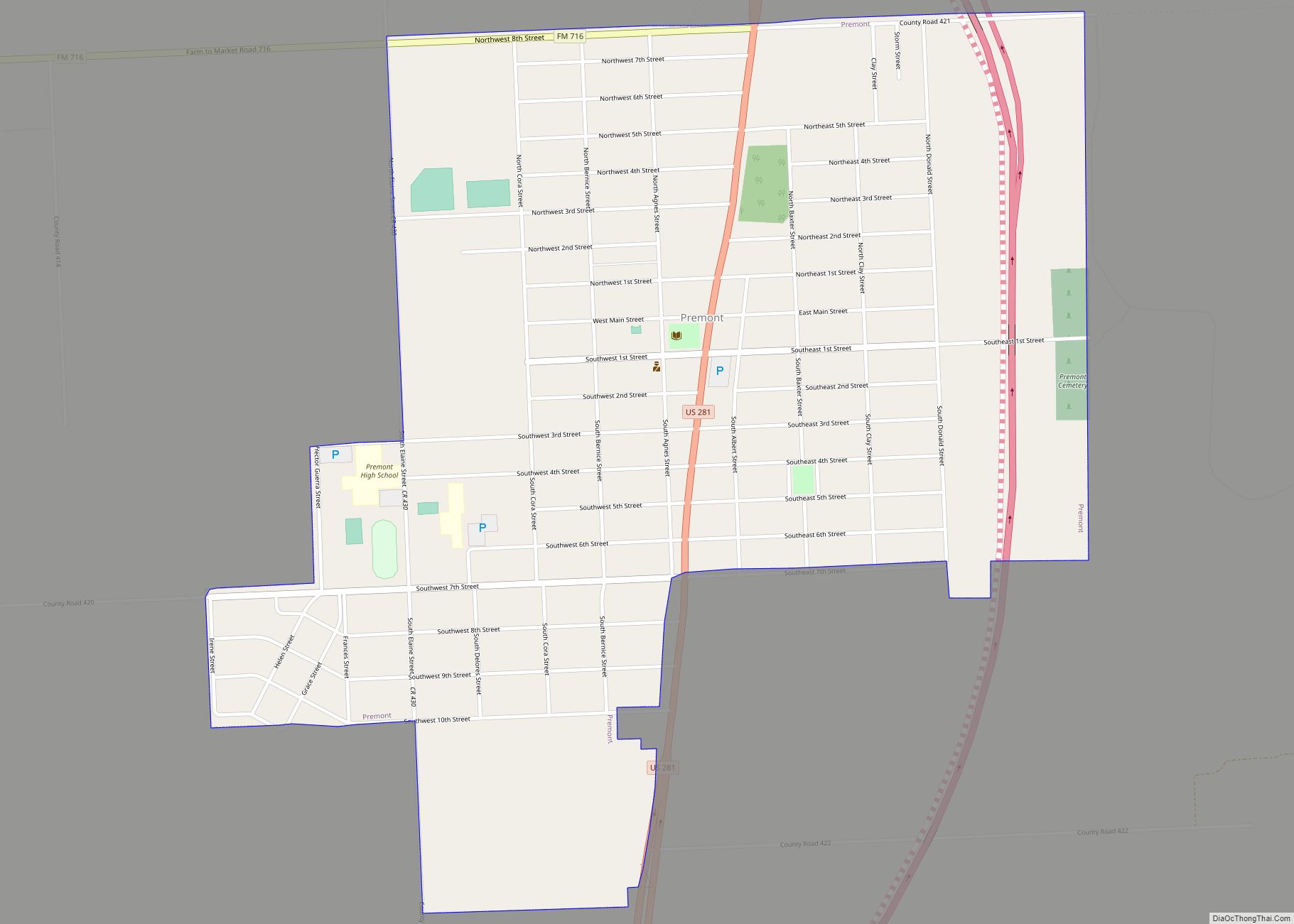
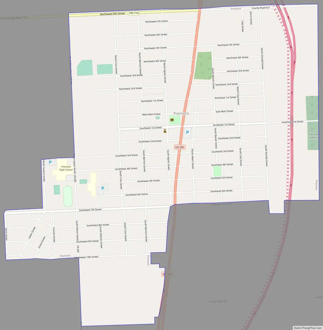
Premont Road Map
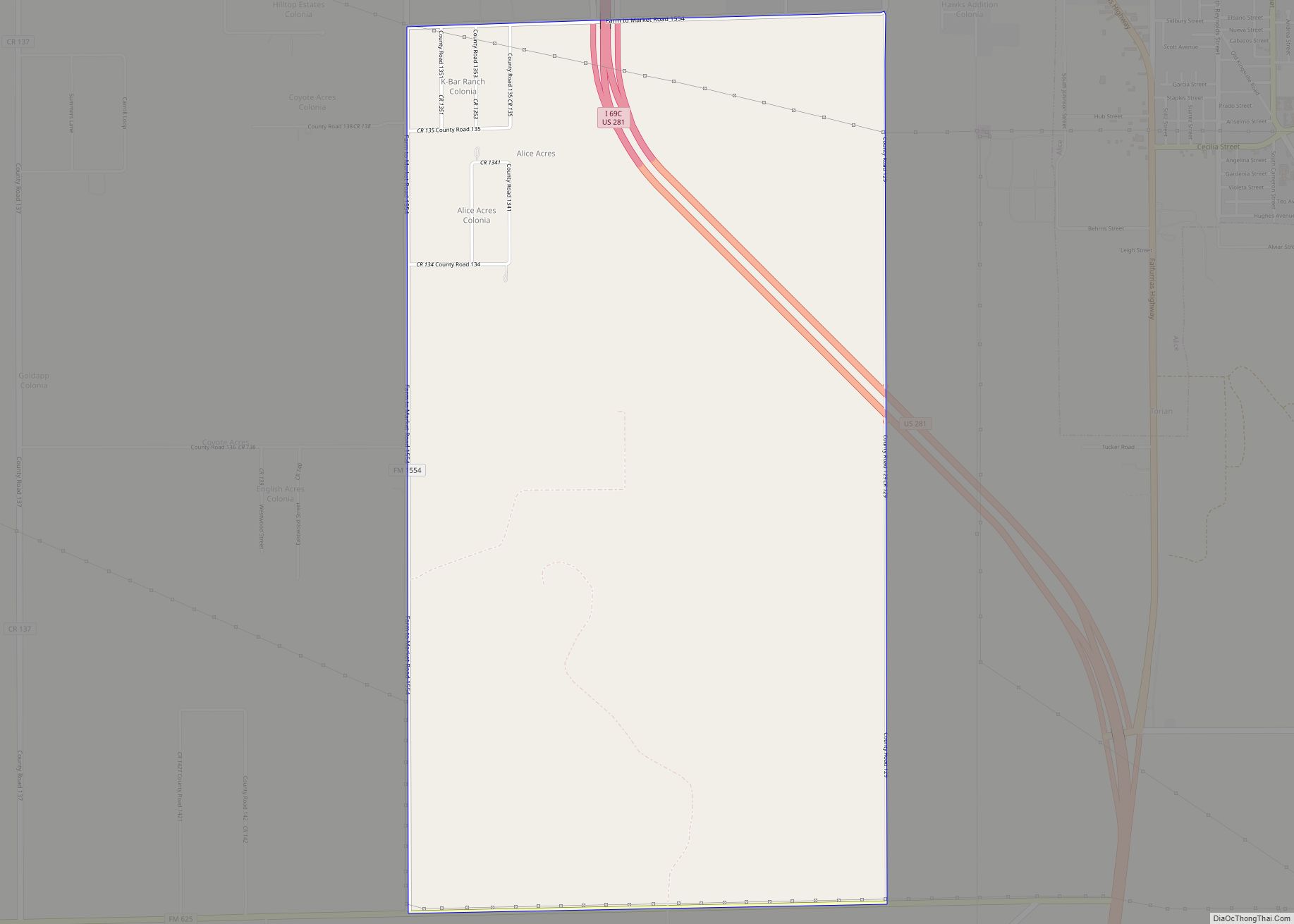
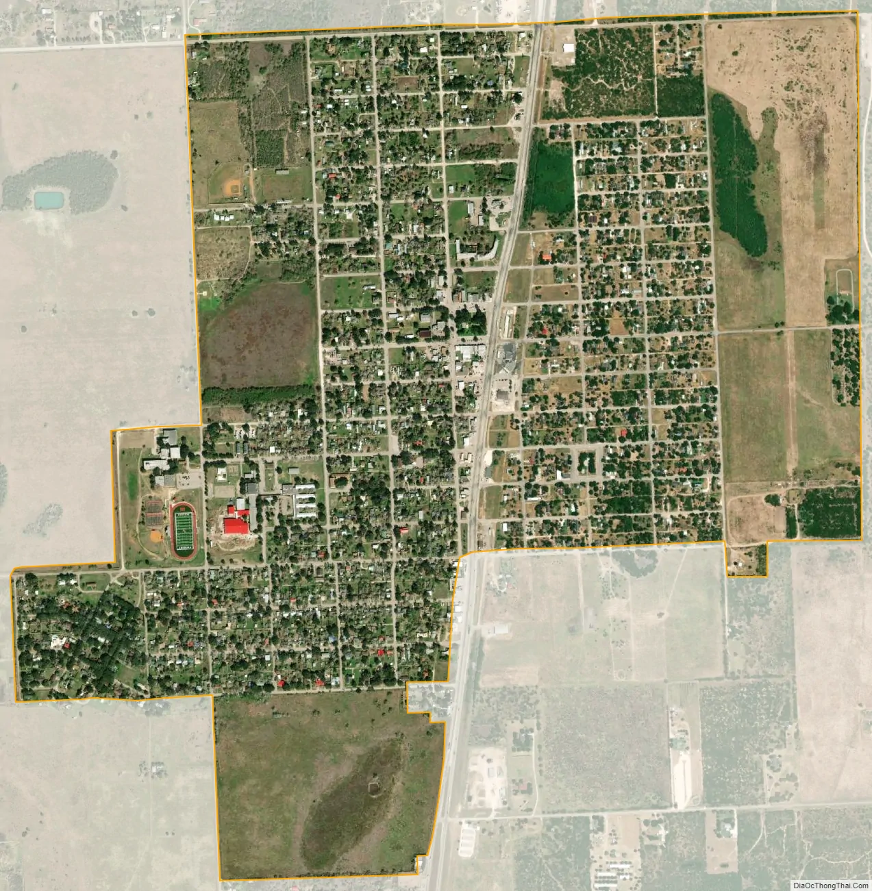
Premont city Satellite Map
Geography
Premont is located at 27°21′29″N 98°7′33″W / 27.35806°N 98.12583°W / 27.35806; -98.12583 (27.358064, –98.125766). It is situated at along U.S. Highway 281 (Future Interstate 69C) in south central Jim Wells County, 27 miles (43 km) south of Alice and 9 miles (14 km) north of Falfurrias, two towns that Morgan Smith of the Texas Tribune refers to as “relative hubs”.
According to the United States Census Bureau, Premont has a total area of 1.7 square miles (4.4 km), all of it land.
See also
Map of Texas State and its subdivision:- Anderson
- Andrews
- Angelina
- Aransas
- Archer
- Armstrong
- Atascosa
- Austin
- Bailey
- Bandera
- Bastrop
- Baylor
- Bee
- Bell
- Bexar
- Blanco
- Borden
- Bosque
- Bowie
- Brazoria
- Brazos
- Brewster
- Briscoe
- Brooks
- Brown
- Burleson
- Burnet
- Caldwell
- Calhoun
- Callahan
- Cameron
- Camp
- Carson
- Cass
- Castro
- Chambers
- Cherokee
- Childress
- Clay
- Cochran
- Coke
- Coleman
- Collin
- Collingsworth
- Colorado
- Comal
- Comanche
- Concho
- Cooke
- Coryell
- Cottle
- Crane
- Crockett
- Crosby
- Culberson
- Dallam
- Dallas
- Dawson
- Deaf Smith
- Delta
- Denton
- Dewitt
- Dickens
- Dimmit
- Donley
- Duval
- Eastland
- Ector
- Edwards
- El Paso
- Ellis
- Erath
- Falls
- Fannin
- Fayette
- Fisher
- Floyd
- Foard
- Fort Bend
- Franklin
- Freestone
- Frio
- Gaines
- Galveston
- Garza
- Gillespie
- Glasscock
- Goliad
- Gonzales
- Gray
- Grayson
- Gregg
- Grimes
- Guadalupe
- Hale
- Hall
- Hamilton
- Hansford
- Hardeman
- Hardin
- Harris
- Harrison
- Hartley
- Haskell
- Hays
- Hemphill
- Henderson
- Hidalgo
- Hill
- Hockley
- Hood
- Hopkins
- Houston
- Howard
- Hudspeth
- Hunt
- Hutchinson
- Irion
- Jack
- Jackson
- Jasper
- Jeff Davis
- Jefferson
- Jim Hogg
- Jim Wells
- Johnson
- Jones
- Karnes
- Kaufman
- Kendall
- Kenedy
- Kent
- Kerr
- Kimble
- King
- Kinney
- Kleberg
- Knox
- La Salle
- Lamar
- Lamb
- Lampasas
- Lavaca
- Lee
- Leon
- Liberty
- Limestone
- Lipscomb
- Live Oak
- Llano
- Loving
- Lubbock
- Lynn
- Madison
- Marion
- Martin
- Mason
- Matagorda
- Maverick
- McCulloch
- McLennan
- McMullen
- Medina
- Menard
- Midland
- Milam
- Mills
- Mitchell
- Montague
- Montgomery
- Moore
- Morris
- Motley
- Nacogdoches
- Navarro
- Newton
- Nolan
- Nueces
- Ochiltree
- Oldham
- Orange
- Palo Pinto
- Panola
- Parker
- Parmer
- Pecos
- Polk
- Potter
- Presidio
- Rains
- Randall
- Reagan
- Real
- Red River
- Reeves
- Refugio
- Roberts
- Robertson
- Rockwall
- Runnels
- Rusk
- Sabine
- San Augustine
- San Jacinto
- San Patricio
- San Saba
- Schleicher
- Scurry
- Shackelford
- Shelby
- Sherman
- Smith
- Somervell
- Starr
- Stephens
- Sterling
- Stonewall
- Sutton
- Swisher
- Tarrant
- Taylor
- Terrell
- Terry
- Throckmorton
- Titus
- Tom Green
- Travis
- Trinity
- Tyler
- Upshur
- Upton
- Uvalde
- Val Verde
- Van Zandt
- Victoria
- Walker
- Waller
- Ward
- Washington
- Webb
- Wharton
- Wheeler
- Wichita
- Wilbarger
- Willacy
- Williamson
- Wilson
- Winkler
- Wise
- Wood
- Yoakum
- Young
- Zapata
- Zavala
- Alabama
- Alaska
- Arizona
- Arkansas
- California
- Colorado
- Connecticut
- Delaware
- District of Columbia
- Florida
- Georgia
- Hawaii
- Idaho
- Illinois
- Indiana
- Iowa
- Kansas
- Kentucky
- Louisiana
- Maine
- Maryland
- Massachusetts
- Michigan
- Minnesota
- Mississippi
- Missouri
- Montana
- Nebraska
- Nevada
- New Hampshire
- New Jersey
- New Mexico
- New York
- North Carolina
- North Dakota
- Ohio
- Oklahoma
- Oregon
- Pennsylvania
- Rhode Island
- South Carolina
- South Dakota
- Tennessee
- Texas
- Utah
- Vermont
- Virginia
- Washington
- West Virginia
- Wisconsin
- Wyoming