Scurry is a town in Kaufman County, Texas, United States. It was incorporated in 2003. As of the 2010 census, it had a population of 681.
Scurry is named after Scurry Dean. The arrival of the Texas and Pacific Railway in the 1870s established the settlement as a shipment point for area farmers. When local residents requested a post office, they submitted the name Scurry – in honor of Scurry Dean, who was killed during the Civil War. Post service began in 1883 and a year later, Scurry had an estimated population of fifty.
| Name: | Scurry town |
|---|---|
| LSAD Code: | 43 |
| LSAD Description: | town (suffix) |
| State: | Texas |
| County: | Kaufman County |
| Elevation: | 440 ft (130 m) |
| Total Area: | 1.93 sq mi (4.99 km²) |
| Land Area: | 1.93 sq mi (4.99 km²) |
| Water Area: | 0.00 sq mi (0.00 km²) |
| Total Population: | 681 |
| Population Density: | 405.50/sq mi (156.58/km²) |
| ZIP code: | 75158 |
| Area code: | 214, 469, 972 |
| FIPS code: | 4866368 |
| GNISfeature ID: | 1379045 |
Online Interactive Map
Click on ![]() to view map in "full screen" mode.
to view map in "full screen" mode.
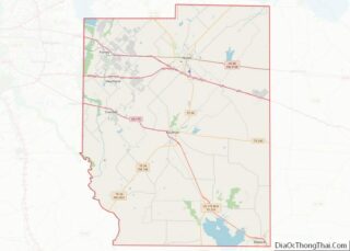
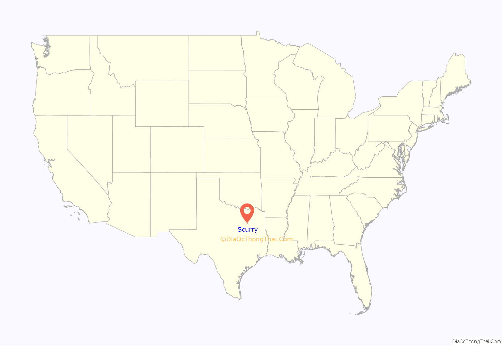
Scurry location map. Where is Scurry town?
History
The first settlers in the area arrived in the mid-1840s. Over the next quarter century, a church and school community developed and the number of farms increased. The arrival of the Texas and Pacific Railway in the 1870s established the settlement as a shipment point for area farmers. When local residents requested a post office, they submitted the name “Scurry”—in honor of Scurry Dean, who was killed during the Civil War. Postal service began in 1883, and a year later, Scurry had an estimated population of 50. By 1914, the community was home to around 400 people and a number of businesses. The Great Depression caused Scurry to decline, which lasted through the first decade after World War II. Only 250 people remained in the community by the mid-1950s. The trend was reversed during the latter half of the 20th century. In 1990, 9 businesses and about 315 people were living in the community. That figure approached 600 by 2000, and Scurry was officially incorporated as a town three years later.
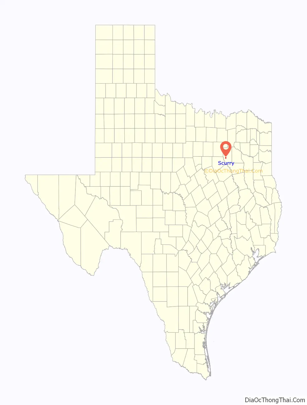
Scurry Road Map
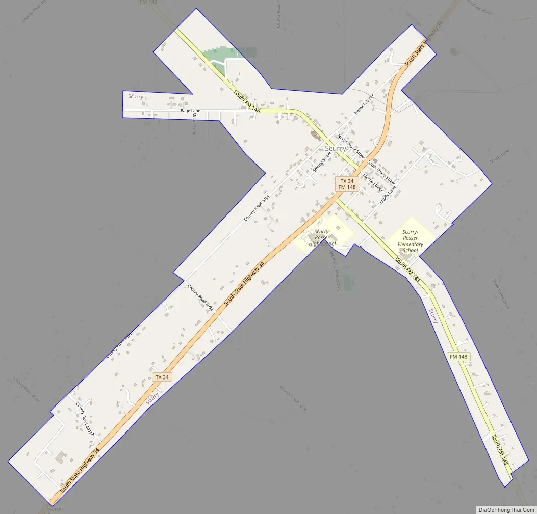
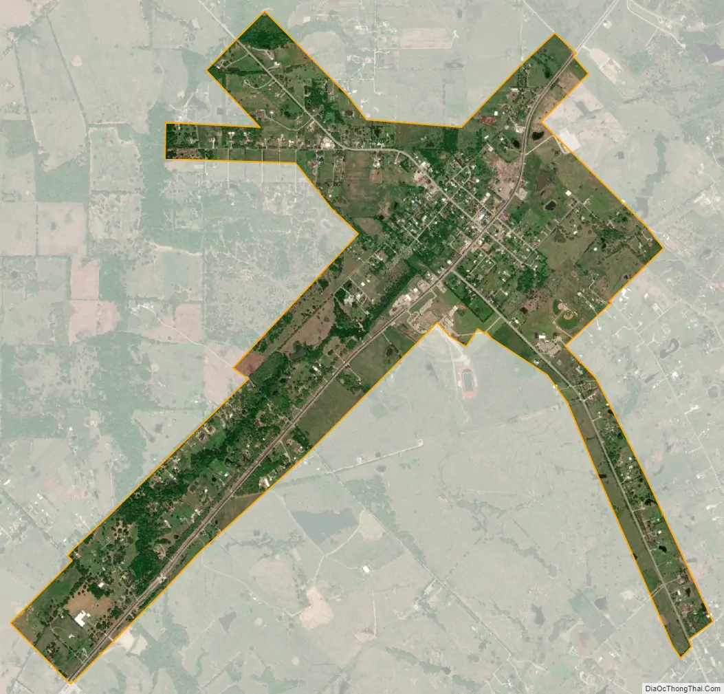
Scurry city Satellite Map
Geography
Scurry is located at 32°31′07″N 96°22′51″W / 32.51861°N 96.38083°W / 32.51861; -96.38083 (32.518611, –96.380833). It is situated along State Highway 34 in southwestern Kaufman County, 7 miles (11 km) southwest of Kaufman and 34 miles (55 km) southeast of Dallas.
According to the U.S. Census Bureau, the town has an area of 1.9 square miles (5.0 km), all land.
Climate
The climate in this area is characterized by hot, humid summers and generally mild to cool winters. According to the Köppen climate classification, Scurry has a humid subtropical climate, Cfa on climate maps.
See also
Map of Texas State and its subdivision:- Anderson
- Andrews
- Angelina
- Aransas
- Archer
- Armstrong
- Atascosa
- Austin
- Bailey
- Bandera
- Bastrop
- Baylor
- Bee
- Bell
- Bexar
- Blanco
- Borden
- Bosque
- Bowie
- Brazoria
- Brazos
- Brewster
- Briscoe
- Brooks
- Brown
- Burleson
- Burnet
- Caldwell
- Calhoun
- Callahan
- Cameron
- Camp
- Carson
- Cass
- Castro
- Chambers
- Cherokee
- Childress
- Clay
- Cochran
- Coke
- Coleman
- Collin
- Collingsworth
- Colorado
- Comal
- Comanche
- Concho
- Cooke
- Coryell
- Cottle
- Crane
- Crockett
- Crosby
- Culberson
- Dallam
- Dallas
- Dawson
- Deaf Smith
- Delta
- Denton
- Dewitt
- Dickens
- Dimmit
- Donley
- Duval
- Eastland
- Ector
- Edwards
- El Paso
- Ellis
- Erath
- Falls
- Fannin
- Fayette
- Fisher
- Floyd
- Foard
- Fort Bend
- Franklin
- Freestone
- Frio
- Gaines
- Galveston
- Garza
- Gillespie
- Glasscock
- Goliad
- Gonzales
- Gray
- Grayson
- Gregg
- Grimes
- Guadalupe
- Hale
- Hall
- Hamilton
- Hansford
- Hardeman
- Hardin
- Harris
- Harrison
- Hartley
- Haskell
- Hays
- Hemphill
- Henderson
- Hidalgo
- Hill
- Hockley
- Hood
- Hopkins
- Houston
- Howard
- Hudspeth
- Hunt
- Hutchinson
- Irion
- Jack
- Jackson
- Jasper
- Jeff Davis
- Jefferson
- Jim Hogg
- Jim Wells
- Johnson
- Jones
- Karnes
- Kaufman
- Kendall
- Kenedy
- Kent
- Kerr
- Kimble
- King
- Kinney
- Kleberg
- Knox
- La Salle
- Lamar
- Lamb
- Lampasas
- Lavaca
- Lee
- Leon
- Liberty
- Limestone
- Lipscomb
- Live Oak
- Llano
- Loving
- Lubbock
- Lynn
- Madison
- Marion
- Martin
- Mason
- Matagorda
- Maverick
- McCulloch
- McLennan
- McMullen
- Medina
- Menard
- Midland
- Milam
- Mills
- Mitchell
- Montague
- Montgomery
- Moore
- Morris
- Motley
- Nacogdoches
- Navarro
- Newton
- Nolan
- Nueces
- Ochiltree
- Oldham
- Orange
- Palo Pinto
- Panola
- Parker
- Parmer
- Pecos
- Polk
- Potter
- Presidio
- Rains
- Randall
- Reagan
- Real
- Red River
- Reeves
- Refugio
- Roberts
- Robertson
- Rockwall
- Runnels
- Rusk
- Sabine
- San Augustine
- San Jacinto
- San Patricio
- San Saba
- Schleicher
- Scurry
- Shackelford
- Shelby
- Sherman
- Smith
- Somervell
- Starr
- Stephens
- Sterling
- Stonewall
- Sutton
- Swisher
- Tarrant
- Taylor
- Terrell
- Terry
- Throckmorton
- Titus
- Tom Green
- Travis
- Trinity
- Tyler
- Upshur
- Upton
- Uvalde
- Val Verde
- Van Zandt
- Victoria
- Walker
- Waller
- Ward
- Washington
- Webb
- Wharton
- Wheeler
- Wichita
- Wilbarger
- Willacy
- Williamson
- Wilson
- Winkler
- Wise
- Wood
- Yoakum
- Young
- Zapata
- Zavala
- Alabama
- Alaska
- Arizona
- Arkansas
- California
- Colorado
- Connecticut
- Delaware
- District of Columbia
- Florida
- Georgia
- Hawaii
- Idaho
- Illinois
- Indiana
- Iowa
- Kansas
- Kentucky
- Louisiana
- Maine
- Maryland
- Massachusetts
- Michigan
- Minnesota
- Mississippi
- Missouri
- Montana
- Nebraska
- Nevada
- New Hampshire
- New Jersey
- New Mexico
- New York
- North Carolina
- North Dakota
- Ohio
- Oklahoma
- Oregon
- Pennsylvania
- Rhode Island
- South Carolina
- South Dakota
- Tennessee
- Texas
- Utah
- Vermont
- Virginia
- Washington
- West Virginia
- Wisconsin
- Wyoming