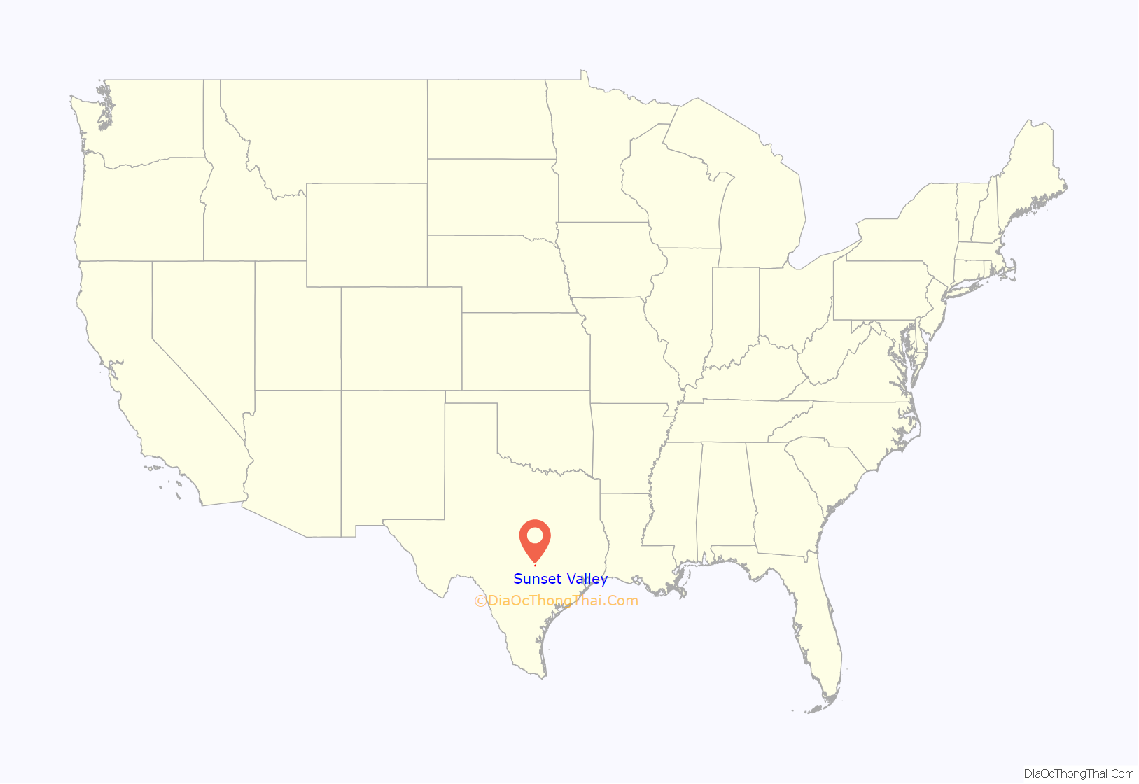
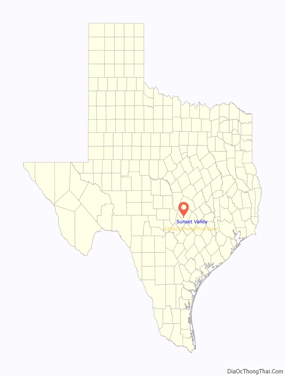
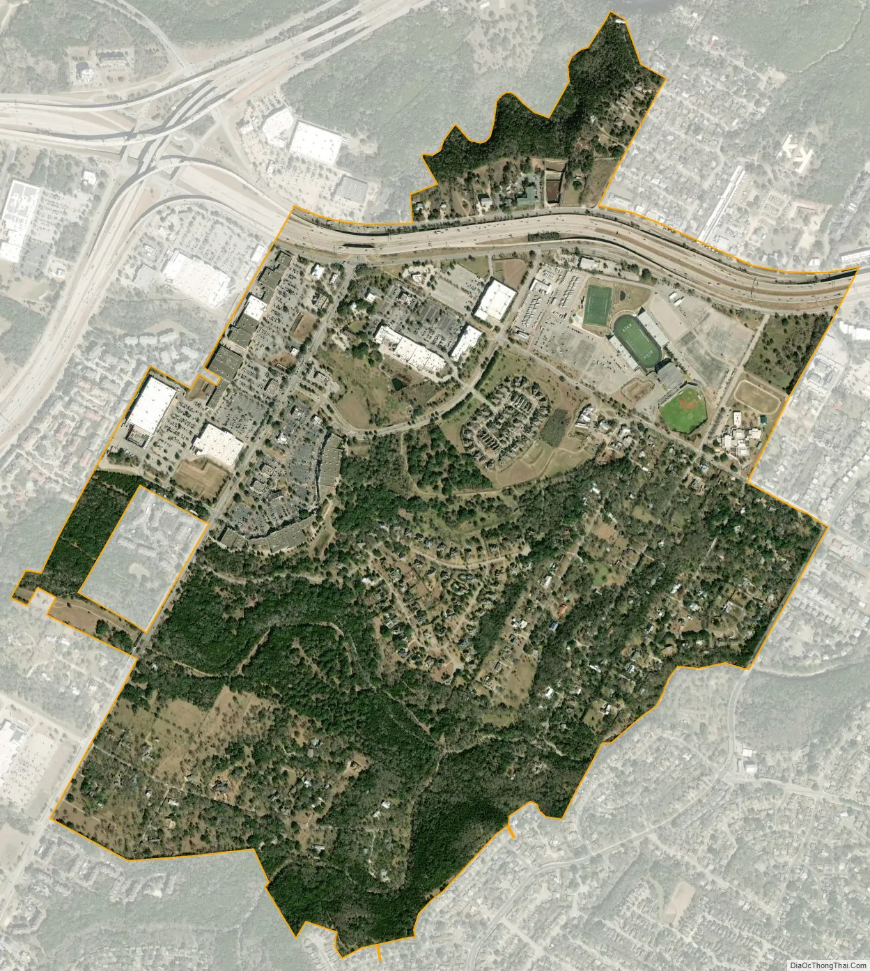
Sunset Valley is a city in Travis County, Texas. The population was 749 at the time of the 2010 census. An enclave, it is surrounded on all sides by the city of Austin.
| Name: | Sunset Valley city |
|---|---|
| LSAD Code: | 25 |
| LSAD Description: | city (suffix) |
| State: | Texas |
| County: | Travis County |
| Elevation: | 666 ft (203 m) |
| Total Area: | 1.40 sq mi (3.61 km²) |
| Land Area: | 1.40 sq mi (3.61 km²) |
| Water Area: | 0.00 sq mi (0.00 km²) |
| Total Population: | 749 |
| Population Density: | 481.38/sq mi (185.90/km²) |
| Area code: | 512 |
| FIPS code: | 4871324 |
| GNISfeature ID: | 1376344 |
| Website: | Sunsetvalley.org |
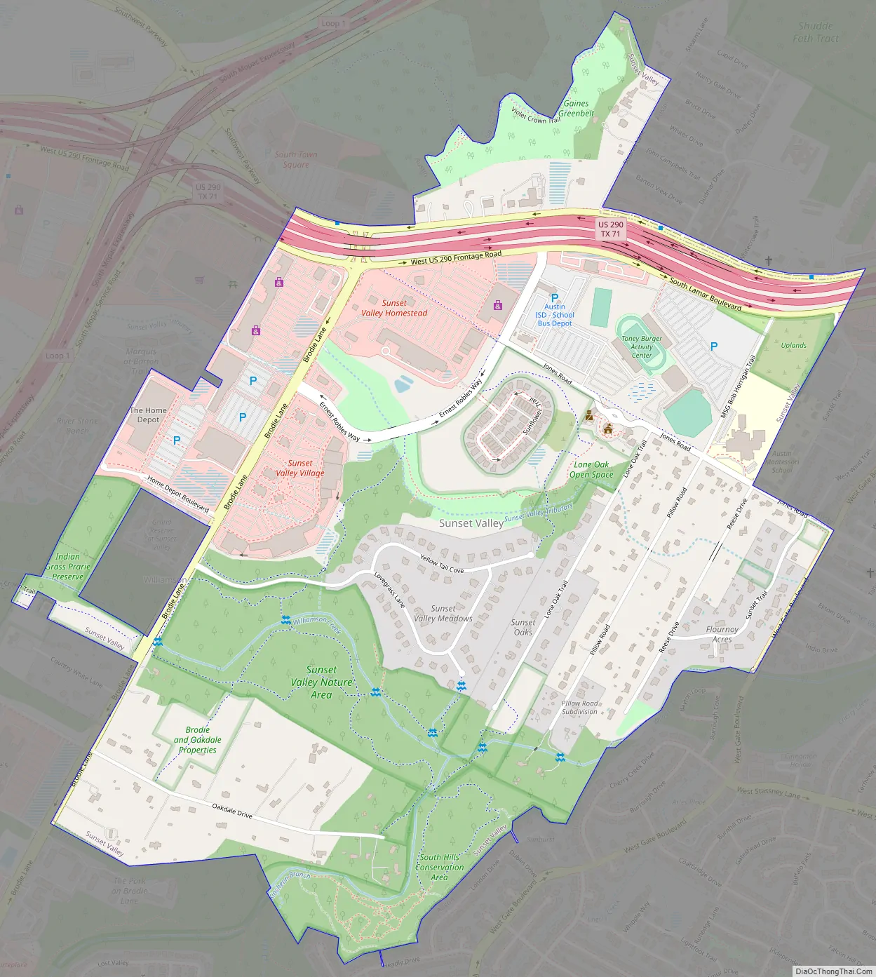
Online Interactive Map
Click on ![]() to view map in "full screen" mode.
to view map in "full screen" mode.
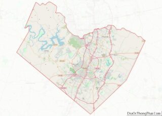
Sunset Valley location map. Where is Sunset Valley city?
History
The first land transaction in the area dates back to 1835, but it wasn’t until the early 1950s that the community of Sunset Valley was developed. It was at that time that two brothers, Clarence and M.H. Flournoy purchased a large tract of land for a residential subdivision. The landscape, a wooded valley nestled among rolling hills on the western edge of Austin, inspired the name Sunset Valley. In September 1954, Sunset Valley was incorporated as a town and established a mayor/council form of government. Clinton Vilven became the first mayor of the newly incorporated community. About a month after incorporation, Sunset Valley experienced the first of a series of de-annexations through the years as petitioners applied to deannex various tracts while the town annexed other tracts.
During the 1960s, city services were developed, including the installation of natural gas lines and the paving of roads. The growth of nearby Austin began to impinge upon the boundaries of Sunset Valley in the 1970s, causing disputes over territory and jurisdiction. One example of this tense relationship occurred in 1970, when Sunset Valley residents objected to the Austin Independent School District’s plans to build an athletic complex within the corporate limits of the city. A court would later rule in favor of Austin ISD’s right to build the complex, which was completed in 1976. Sporadic disputes between the two cities would continue into the 1980s and 1990s.
Sunset Valley’s first city hall was completed in 1977 and a police department was established in 1979. By 1990, the population had grown to 327. A wastewater system was constructed in the early 1990s with a grant from the Texas Water Development Board. In 1998, Sunset Valley entered into an inter-local agreement with the city of Austin to provide firefighting services. The population rose to 365 by 2000, an 11.6 percent increase over the 1990 figure.
In 2001, the United States Postal Service officially recognized Sunset Valley as a destination for mail delivery. While a vast majority of the city’s land remains residential, commercial development has increased in recent years.
Sunset Valley Road Map
Sunset Valley city Satellite Map
Geography
Sunset Valley is located at 30°13′32″N 97°48′58″W / 30.225631°N 97.816133°W / 30.225631; -97.816133 (30.225631, –97.816133), 5 miles (8 km) southwest of downtown Austin.
According to the United States Census Bureau, the city has a total area of 1.4 square miles (3.6 km), all of it land.
See also
Map of Texas State and its subdivision:- Anderson
- Andrews
- Angelina
- Aransas
- Archer
- Armstrong
- Atascosa
- Austin
- Bailey
- Bandera
- Bastrop
- Baylor
- Bee
- Bell
- Bexar
- Blanco
- Borden
- Bosque
- Bowie
- Brazoria
- Brazos
- Brewster
- Briscoe
- Brooks
- Brown
- Burleson
- Burnet
- Caldwell
- Calhoun
- Callahan
- Cameron
- Camp
- Carson
- Cass
- Castro
- Chambers
- Cherokee
- Childress
- Clay
- Cochran
- Coke
- Coleman
- Collin
- Collingsworth
- Colorado
- Comal
- Comanche
- Concho
- Cooke
- Coryell
- Cottle
- Crane
- Crockett
- Crosby
- Culberson
- Dallam
- Dallas
- Dawson
- Deaf Smith
- Delta
- Denton
- Dewitt
- Dickens
- Dimmit
- Donley
- Duval
- Eastland
- Ector
- Edwards
- El Paso
- Ellis
- Erath
- Falls
- Fannin
- Fayette
- Fisher
- Floyd
- Foard
- Fort Bend
- Franklin
- Freestone
- Frio
- Gaines
- Galveston
- Garza
- Gillespie
- Glasscock
- Goliad
- Gonzales
- Gray
- Grayson
- Gregg
- Grimes
- Guadalupe
- Hale
- Hall
- Hamilton
- Hansford
- Hardeman
- Hardin
- Harris
- Harrison
- Hartley
- Haskell
- Hays
- Hemphill
- Henderson
- Hidalgo
- Hill
- Hockley
- Hood
- Hopkins
- Houston
- Howard
- Hudspeth
- Hunt
- Hutchinson
- Irion
- Jack
- Jackson
- Jasper
- Jeff Davis
- Jefferson
- Jim Hogg
- Jim Wells
- Johnson
- Jones
- Karnes
- Kaufman
- Kendall
- Kenedy
- Kent
- Kerr
- Kimble
- King
- Kinney
- Kleberg
- Knox
- La Salle
- Lamar
- Lamb
- Lampasas
- Lavaca
- Lee
- Leon
- Liberty
- Limestone
- Lipscomb
- Live Oak
- Llano
- Loving
- Lubbock
- Lynn
- Madison
- Marion
- Martin
- Mason
- Matagorda
- Maverick
- McCulloch
- McLennan
- McMullen
- Medina
- Menard
- Midland
- Milam
- Mills
- Mitchell
- Montague
- Montgomery
- Moore
- Morris
- Motley
- Nacogdoches
- Navarro
- Newton
- Nolan
- Nueces
- Ochiltree
- Oldham
- Orange
- Palo Pinto
- Panola
- Parker
- Parmer
- Pecos
- Polk
- Potter
- Presidio
- Rains
- Randall
- Reagan
- Real
- Red River
- Reeves
- Refugio
- Roberts
- Robertson
- Rockwall
- Runnels
- Rusk
- Sabine
- San Augustine
- San Jacinto
- San Patricio
- San Saba
- Schleicher
- Scurry
- Shackelford
- Shelby
- Sherman
- Smith
- Somervell
- Starr
- Stephens
- Sterling
- Stonewall
- Sutton
- Swisher
- Tarrant
- Taylor
- Terrell
- Terry
- Throckmorton
- Titus
- Tom Green
- Travis
- Trinity
- Tyler
- Upshur
- Upton
- Uvalde
- Val Verde
- Van Zandt
- Victoria
- Walker
- Waller
- Ward
- Washington
- Webb
- Wharton
- Wheeler
- Wichita
- Wilbarger
- Willacy
- Williamson
- Wilson
- Winkler
- Wise
- Wood
- Yoakum
- Young
- Zapata
- Zavala
- Alabama
- Alaska
- Arizona
- Arkansas
- California
- Colorado
- Connecticut
- Delaware
- District of Columbia
- Florida
- Georgia
- Hawaii
- Idaho
- Illinois
- Indiana
- Iowa
- Kansas
- Kentucky
- Louisiana
- Maine
- Maryland
- Massachusetts
- Michigan
- Minnesota
- Mississippi
- Missouri
- Montana
- Nebraska
- Nevada
- New Hampshire
- New Jersey
- New Mexico
- New York
- North Carolina
- North Dakota
- Ohio
- Oklahoma
- Oregon
- Pennsylvania
- Rhode Island
- South Carolina
- South Dakota
- Tennessee
- Texas
- Utah
- Vermont
- Virginia
- Washington
- West Virginia
- Wisconsin
- Wyoming