Timberwood Park is a census-designated place (CDP) in far Northern unincorporated Bexar County, Texas, United States and located within the southern edge of the Texas Hill Country. The district has roughly 42 miles of roads and encompasses over 2,000 acres. The overall plan shows 3,263 platted lots. The population was 35,217 at the 2020 census, up from 13,447 at the 2010 census. It is part of the San Antonio Metropolitan Statistical Area.
| Name: | Timberwood Park CDP |
|---|---|
| LSAD Code: | 57 |
| LSAD Description: | CDP (suffix) |
| State: | Texas |
| County: | Bexar County |
| Elevation: | 1,234 ft (376 m) |
| Total Area: | 21.07 sq mi (54.6 km²) |
| Land Area: | 21.02 sq mi (54.4 km²) |
| Water Area: | 0.05 sq mi (0.1 km²) |
| Total Population: | 35,217 |
| Population Density: | 1,700/sq mi (650/km²) |
| Area code: | 210 |
| FIPS code: | 4873057 |
| GNISfeature ID: | 1867569 |
Online Interactive Map
Click on ![]() to view map in "full screen" mode.
to view map in "full screen" mode.
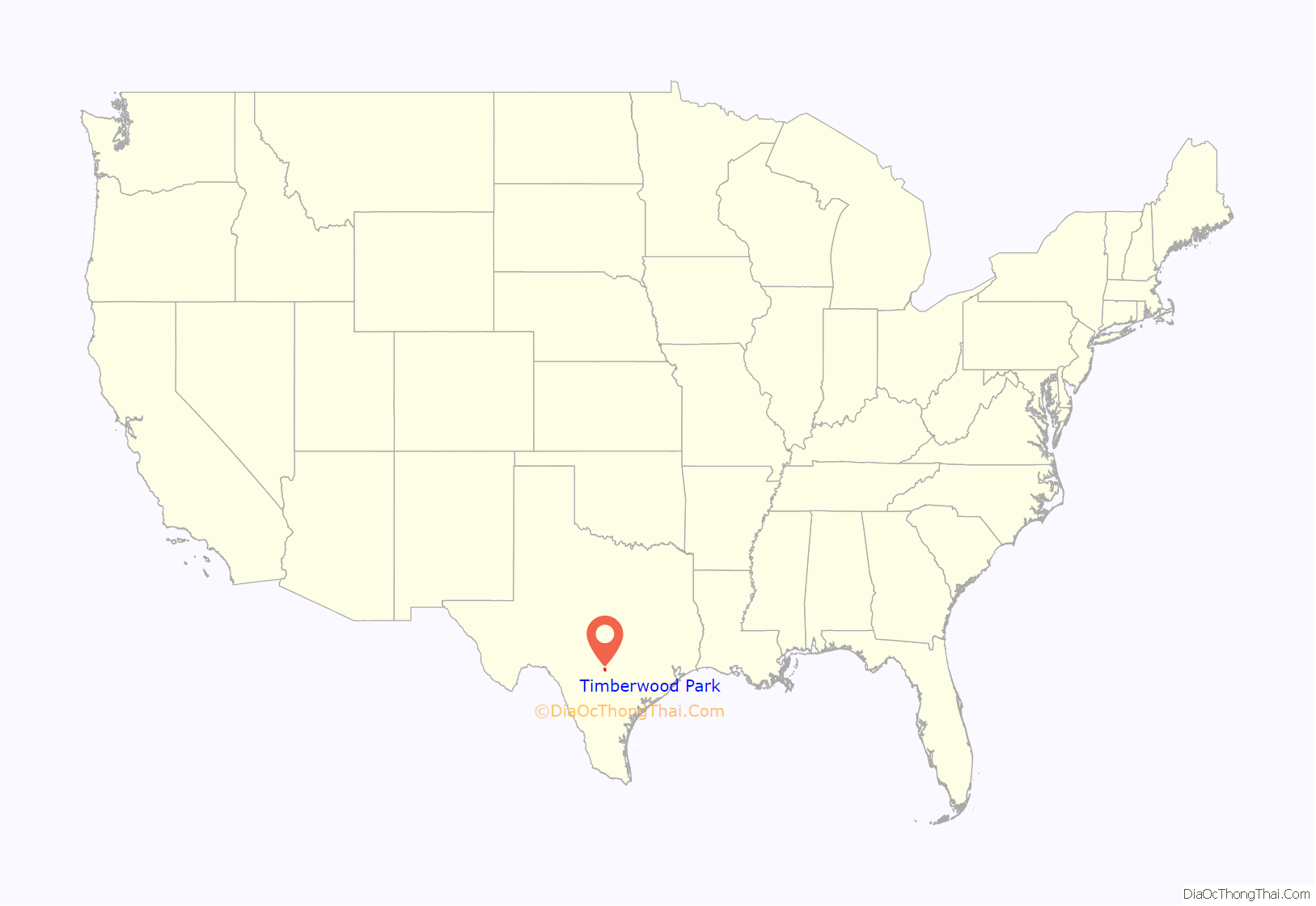
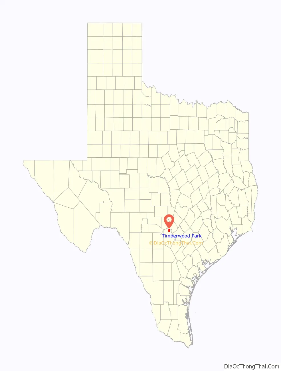
Timberwood Park location map. Where is Timberwood Park CDP?
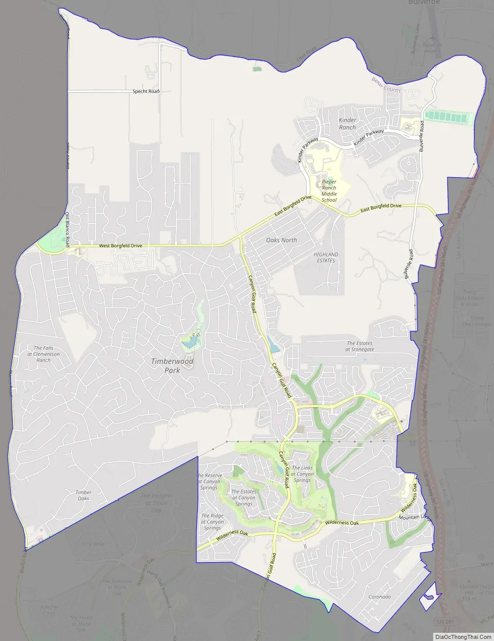
Timberwood Park Road Map
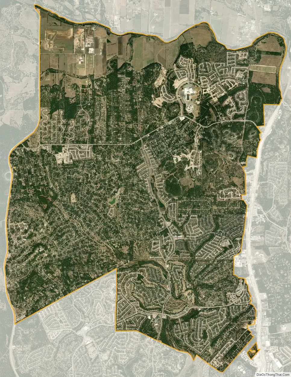
Timberwood Park city Satellite Map
Geography
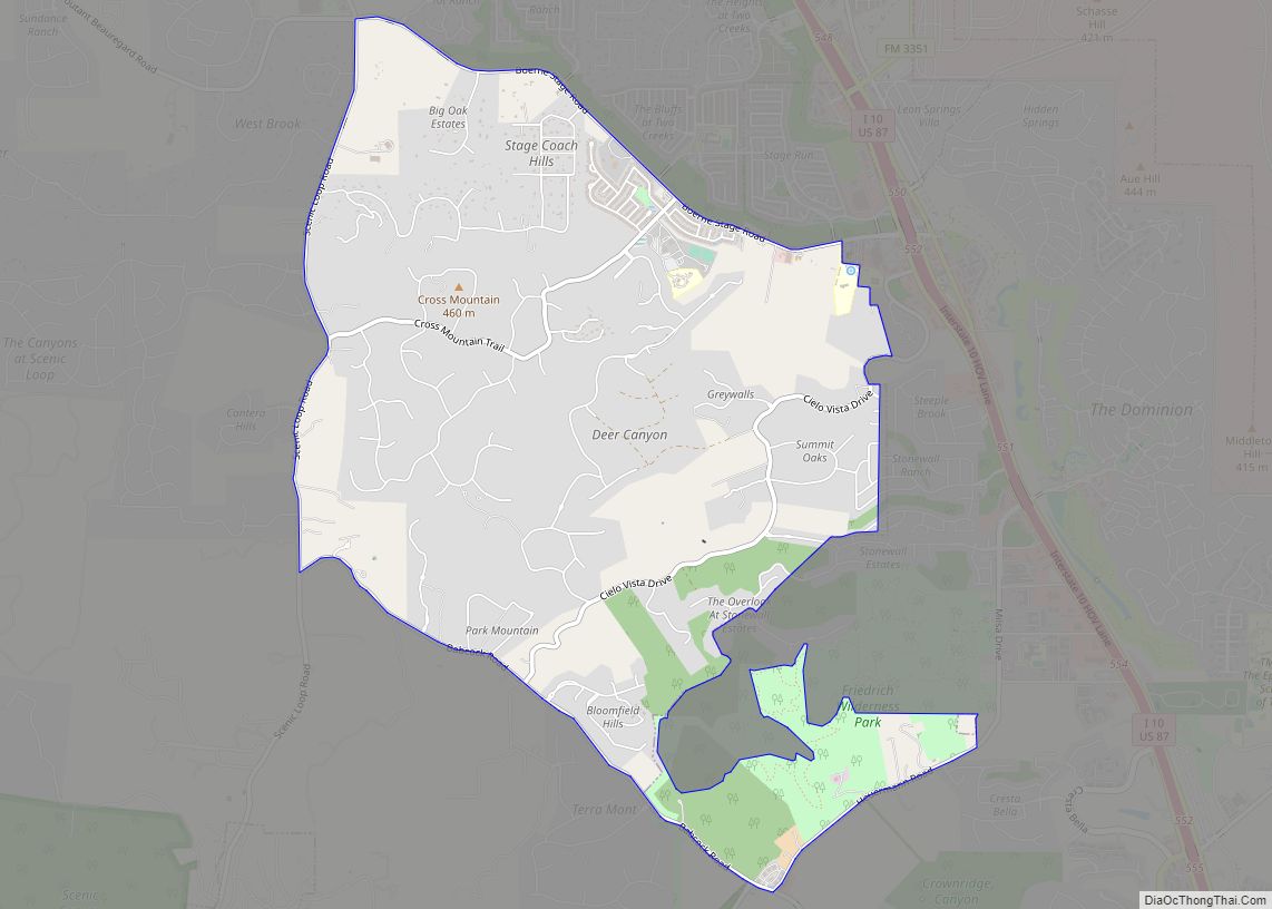
Timberwood Park is a neighborhood exclusive from other separate neighborhoods that butt up to Canyon Golf Road to its east, by Deer Cross Lane and Midnight Drive to its south, Borfgeld Road to its north, and Blanco Road up to Slumber Pass on the west, with the most northwesterly border of the neighborhood encompassing only so far west as Bubbling Brook Drive, Sunny Meadow Drive, Silent Hollow, Symphonic Hill, and Streisand Street. Timberwood Park is about 22 miles (35 km) north of downtown San Antonio.
According to the United States Census Bureau, the CDP has a total area of 21.07 square miles (54.6 km), of which, 21.02 square miles (54.4 km) of it is land and 0.05 square miles (0.13 km) is water.
Climate
Timberwood Park has a humid subtropical climate (Köppen: Cfa) featuring long, hot, and muggy summers and mild to cool winters. The area is subject to descending northern cold fronts and arctic fronts in the winter with cool to cold nights, typically seeing night lows at or near freezing and is cool to warm and rainy in the spring and fall. The area can also be subject to fairly regular ice and snow storms, with the most recent snowstorm dumping between 9-10 inches of snow between February 14th and 18th in 2021 “2021 Texas Snowfall totals” (PDF). NOAA. Retrieved February 1, 2023. and the most recent ice storm depositing nearly a quarter inch of ice on February 1, 2023.
Timberwood Park falls in USDA hardiness zone 8b (15 °F to 20 °F).
Timberwood Park observes an average of 19 subfreezing nights each year. The area also sees an average of 20 100°F+ days each summer, but some years feature none (2021) or may suffer through up to 50 (2022).
See also
Map of Texas State and its subdivision:- Anderson
- Andrews
- Angelina
- Aransas
- Archer
- Armstrong
- Atascosa
- Austin
- Bailey
- Bandera
- Bastrop
- Baylor
- Bee
- Bell
- Bexar
- Blanco
- Borden
- Bosque
- Bowie
- Brazoria
- Brazos
- Brewster
- Briscoe
- Brooks
- Brown
- Burleson
- Burnet
- Caldwell
- Calhoun
- Callahan
- Cameron
- Camp
- Carson
- Cass
- Castro
- Chambers
- Cherokee
- Childress
- Clay
- Cochran
- Coke
- Coleman
- Collin
- Collingsworth
- Colorado
- Comal
- Comanche
- Concho
- Cooke
- Coryell
- Cottle
- Crane
- Crockett
- Crosby
- Culberson
- Dallam
- Dallas
- Dawson
- Deaf Smith
- Delta
- Denton
- Dewitt
- Dickens
- Dimmit
- Donley
- Duval
- Eastland
- Ector
- Edwards
- El Paso
- Ellis
- Erath
- Falls
- Fannin
- Fayette
- Fisher
- Floyd
- Foard
- Fort Bend
- Franklin
- Freestone
- Frio
- Gaines
- Galveston
- Garza
- Gillespie
- Glasscock
- Goliad
- Gonzales
- Gray
- Grayson
- Gregg
- Grimes
- Guadalupe
- Hale
- Hall
- Hamilton
- Hansford
- Hardeman
- Hardin
- Harris
- Harrison
- Hartley
- Haskell
- Hays
- Hemphill
- Henderson
- Hidalgo
- Hill
- Hockley
- Hood
- Hopkins
- Houston
- Howard
- Hudspeth
- Hunt
- Hutchinson
- Irion
- Jack
- Jackson
- Jasper
- Jeff Davis
- Jefferson
- Jim Hogg
- Jim Wells
- Johnson
- Jones
- Karnes
- Kaufman
- Kendall
- Kenedy
- Kent
- Kerr
- Kimble
- King
- Kinney
- Kleberg
- Knox
- La Salle
- Lamar
- Lamb
- Lampasas
- Lavaca
- Lee
- Leon
- Liberty
- Limestone
- Lipscomb
- Live Oak
- Llano
- Loving
- Lubbock
- Lynn
- Madison
- Marion
- Martin
- Mason
- Matagorda
- Maverick
- McCulloch
- McLennan
- McMullen
- Medina
- Menard
- Midland
- Milam
- Mills
- Mitchell
- Montague
- Montgomery
- Moore
- Morris
- Motley
- Nacogdoches
- Navarro
- Newton
- Nolan
- Nueces
- Ochiltree
- Oldham
- Orange
- Palo Pinto
- Panola
- Parker
- Parmer
- Pecos
- Polk
- Potter
- Presidio
- Rains
- Randall
- Reagan
- Real
- Red River
- Reeves
- Refugio
- Roberts
- Robertson
- Rockwall
- Runnels
- Rusk
- Sabine
- San Augustine
- San Jacinto
- San Patricio
- San Saba
- Schleicher
- Scurry
- Shackelford
- Shelby
- Sherman
- Smith
- Somervell
- Starr
- Stephens
- Sterling
- Stonewall
- Sutton
- Swisher
- Tarrant
- Taylor
- Terrell
- Terry
- Throckmorton
- Titus
- Tom Green
- Travis
- Trinity
- Tyler
- Upshur
- Upton
- Uvalde
- Val Verde
- Van Zandt
- Victoria
- Walker
- Waller
- Ward
- Washington
- Webb
- Wharton
- Wheeler
- Wichita
- Wilbarger
- Willacy
- Williamson
- Wilson
- Winkler
- Wise
- Wood
- Yoakum
- Young
- Zapata
- Zavala
- Alabama
- Alaska
- Arizona
- Arkansas
- California
- Colorado
- Connecticut
- Delaware
- District of Columbia
- Florida
- Georgia
- Hawaii
- Idaho
- Illinois
- Indiana
- Iowa
- Kansas
- Kentucky
- Louisiana
- Maine
- Maryland
- Massachusetts
- Michigan
- Minnesota
- Mississippi
- Missouri
- Montana
- Nebraska
- Nevada
- New Hampshire
- New Jersey
- New Mexico
- New York
- North Carolina
- North Dakota
- Ohio
- Oklahoma
- Oregon
- Pennsylvania
- Rhode Island
- South Carolina
- South Dakota
- Tennessee
- Texas
- Utah
- Vermont
- Virginia
- Washington
- West Virginia
- Wisconsin
- Wyoming