Wimberley is a village in Hays County, Texas, United States. It is still predominantly a ranching area outside of town. The population was 2,839 at the 2020 census.
| Name: | Wimberley city |
|---|---|
| LSAD Code: | 25 |
| LSAD Description: | city (suffix) |
| State: | Texas |
| County: | Hays County |
| Elevation: | 860 ft (262 m) |
| Total Area: | 8.96 sq mi (23.19 km²) |
| Land Area: | 8.96 sq mi (23.19 km²) |
| Water Area: | 0.00 sq mi (0.00 km²) |
| Total Population: | 2,839 |
| Population Density: | 360.92/sq mi (139.35/km²) |
| ZIP code: | 78676 |
| Area code: | 512 & 737 |
| FIPS code: | 4879624 |
| GNISfeature ID: | 1350280 |
| Website: | www.cityofwimberley.com |
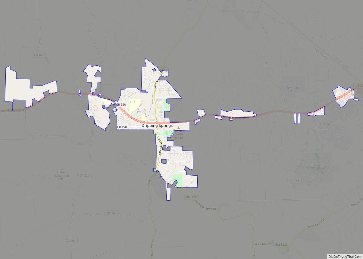
Online Interactive Map
Click on ![]() to view map in "full screen" mode.
to view map in "full screen" mode.
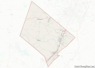
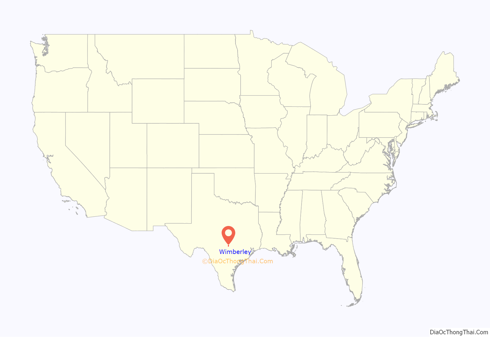
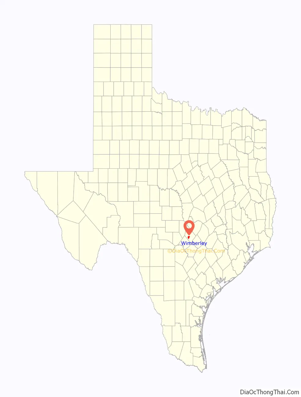
Wimberley location map. Where is Wimberley city?
History
Wimberley started as a trading post settlement near Cypress Creek in 1848, the year Hays County was organized. After William Carvin Winters built a gristmill at the site in 1856, it took on the name “Winters’ Mill”. When the mill was sold in 1864 to the Cude family, its name was changed to “Cude’s Mill”. It was sold again in 1874 to Pleasant Wimberley and took on his name. Over the years, the mill was expanded to process lumber, shingles, flour, molasses, and cotton.
The mill is gone, but Winter’s home survives and is listed on the National Register of Historic Places.
In 1880, Alfred vom Stein, a postmaster from San Marcos, applied to have a post office established in the community, calling it “Wimberleyville”. The application was granted, but the name shortened to Wimberley. Although the mill was shut down in 1925, the community was established and continued to grow, eventually becoming known as a resort town and becoming popular with tourists. Prior to its incorporation in May 2000, it was a census-designated place (CDP).
On May 25, 2015, the town was hit by flooding during the 2015 Texas–Oklahoma floods, along the Blanco River which flows through town. The river crested at an estimated 41.5 feet (12.6 m), which was almost 30 feet (9.1 m) above flood stage.
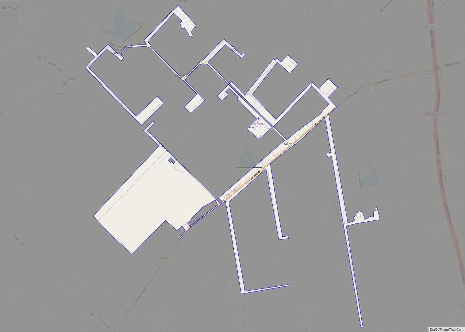
Wimberley Road Map
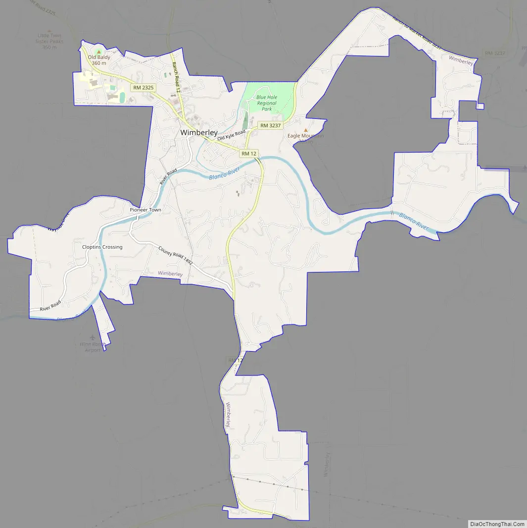
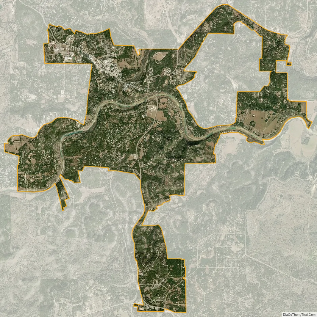
Wimberley city Satellite Map
Geography
Wimberley is located in western Hays County at 29°59′44″N 98°06′03″W / 29.995474°N 98.100832°W / 29.995474; -98.100832 (29.995474, –98.100832), 38 miles (61 km) by road southwest of Austin and 58 miles (93 km) northeast of San Antonio.
According to the United States Census Bureau, the city has an area of 9.0 square miles (23.2 km), all of it land.
Cypress Creek joins the Blanco River in Wimberley. The Blanco joins the San Marcos River near the city of San Marcos, 16 miles (26 km) southeast of Wimberley. Blue Hole and Jacob’s Well are located along Cypress Creek.
Climate
The climate in this area is characterized by hot, humid summers and generally mild to cool winters. According to the Köppen climate classification system, Wimberley has a humid subtropical climate, Cfa on climate maps.
See also
Map of Texas State and its subdivision:- Anderson
- Andrews
- Angelina
- Aransas
- Archer
- Armstrong
- Atascosa
- Austin
- Bailey
- Bandera
- Bastrop
- Baylor
- Bee
- Bell
- Bexar
- Blanco
- Borden
- Bosque
- Bowie
- Brazoria
- Brazos
- Brewster
- Briscoe
- Brooks
- Brown
- Burleson
- Burnet
- Caldwell
- Calhoun
- Callahan
- Cameron
- Camp
- Carson
- Cass
- Castro
- Chambers
- Cherokee
- Childress
- Clay
- Cochran
- Coke
- Coleman
- Collin
- Collingsworth
- Colorado
- Comal
- Comanche
- Concho
- Cooke
- Coryell
- Cottle
- Crane
- Crockett
- Crosby
- Culberson
- Dallam
- Dallas
- Dawson
- Deaf Smith
- Delta
- Denton
- Dewitt
- Dickens
- Dimmit
- Donley
- Duval
- Eastland
- Ector
- Edwards
- El Paso
- Ellis
- Erath
- Falls
- Fannin
- Fayette
- Fisher
- Floyd
- Foard
- Fort Bend
- Franklin
- Freestone
- Frio
- Gaines
- Galveston
- Garza
- Gillespie
- Glasscock
- Goliad
- Gonzales
- Gray
- Grayson
- Gregg
- Grimes
- Guadalupe
- Hale
- Hall
- Hamilton
- Hansford
- Hardeman
- Hardin
- Harris
- Harrison
- Hartley
- Haskell
- Hays
- Hemphill
- Henderson
- Hidalgo
- Hill
- Hockley
- Hood
- Hopkins
- Houston
- Howard
- Hudspeth
- Hunt
- Hutchinson
- Irion
- Jack
- Jackson
- Jasper
- Jeff Davis
- Jefferson
- Jim Hogg
- Jim Wells
- Johnson
- Jones
- Karnes
- Kaufman
- Kendall
- Kenedy
- Kent
- Kerr
- Kimble
- King
- Kinney
- Kleberg
- Knox
- La Salle
- Lamar
- Lamb
- Lampasas
- Lavaca
- Lee
- Leon
- Liberty
- Limestone
- Lipscomb
- Live Oak
- Llano
- Loving
- Lubbock
- Lynn
- Madison
- Marion
- Martin
- Mason
- Matagorda
- Maverick
- McCulloch
- McLennan
- McMullen
- Medina
- Menard
- Midland
- Milam
- Mills
- Mitchell
- Montague
- Montgomery
- Moore
- Morris
- Motley
- Nacogdoches
- Navarro
- Newton
- Nolan
- Nueces
- Ochiltree
- Oldham
- Orange
- Palo Pinto
- Panola
- Parker
- Parmer
- Pecos
- Polk
- Potter
- Presidio
- Rains
- Randall
- Reagan
- Real
- Red River
- Reeves
- Refugio
- Roberts
- Robertson
- Rockwall
- Runnels
- Rusk
- Sabine
- San Augustine
- San Jacinto
- San Patricio
- San Saba
- Schleicher
- Scurry
- Shackelford
- Shelby
- Sherman
- Smith
- Somervell
- Starr
- Stephens
- Sterling
- Stonewall
- Sutton
- Swisher
- Tarrant
- Taylor
- Terrell
- Terry
- Throckmorton
- Titus
- Tom Green
- Travis
- Trinity
- Tyler
- Upshur
- Upton
- Uvalde
- Val Verde
- Van Zandt
- Victoria
- Walker
- Waller
- Ward
- Washington
- Webb
- Wharton
- Wheeler
- Wichita
- Wilbarger
- Willacy
- Williamson
- Wilson
- Winkler
- Wise
- Wood
- Yoakum
- Young
- Zapata
- Zavala
- Alabama
- Alaska
- Arizona
- Arkansas
- California
- Colorado
- Connecticut
- Delaware
- District of Columbia
- Florida
- Georgia
- Hawaii
- Idaho
- Illinois
- Indiana
- Iowa
- Kansas
- Kentucky
- Louisiana
- Maine
- Maryland
- Massachusetts
- Michigan
- Minnesota
- Mississippi
- Missouri
- Montana
- Nebraska
- Nevada
- New Hampshire
- New Jersey
- New Mexico
- New York
- North Carolina
- North Dakota
- Ohio
- Oklahoma
- Oregon
- Pennsylvania
- Rhode Island
- South Carolina
- South Dakota
- Tennessee
- Texas
- Utah
- Vermont
- Virginia
- Washington
- West Virginia
- Wisconsin
- Wyoming