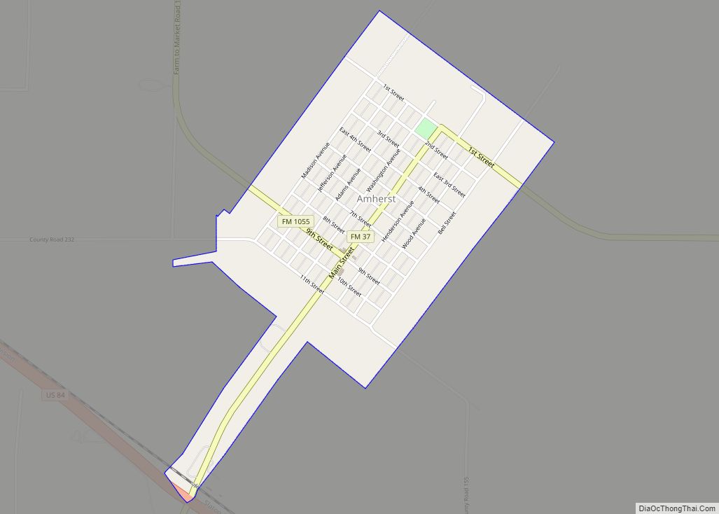
Amherst is a city in Lamb County, Texas, United States. The population was 721 at the 2010 census.
| Name: | Amherst city |
|---|---|
| LSAD Code: | 25 |
| LSAD Description: | city (suffix) |
| State: | Texas |
| County: | Lamb County |
| Elevation: | 3,652 ft (1,113 m) |
| Total Area: | 0.92 sq mi (2.37 km²) |
| Land Area: | 0.92 sq mi (2.37 km²) |
| Water Area: | 0.00 sq mi (0.00 km²) |
| Total Population: | 721 |
| Population Density: | 721.31/sq mi (278.63/km²) |
| ZIP code: | 79312 |
| Area code: | 806 |
| FIPS code: | 4803084 |
| Website: | cityofamhersttx.com |
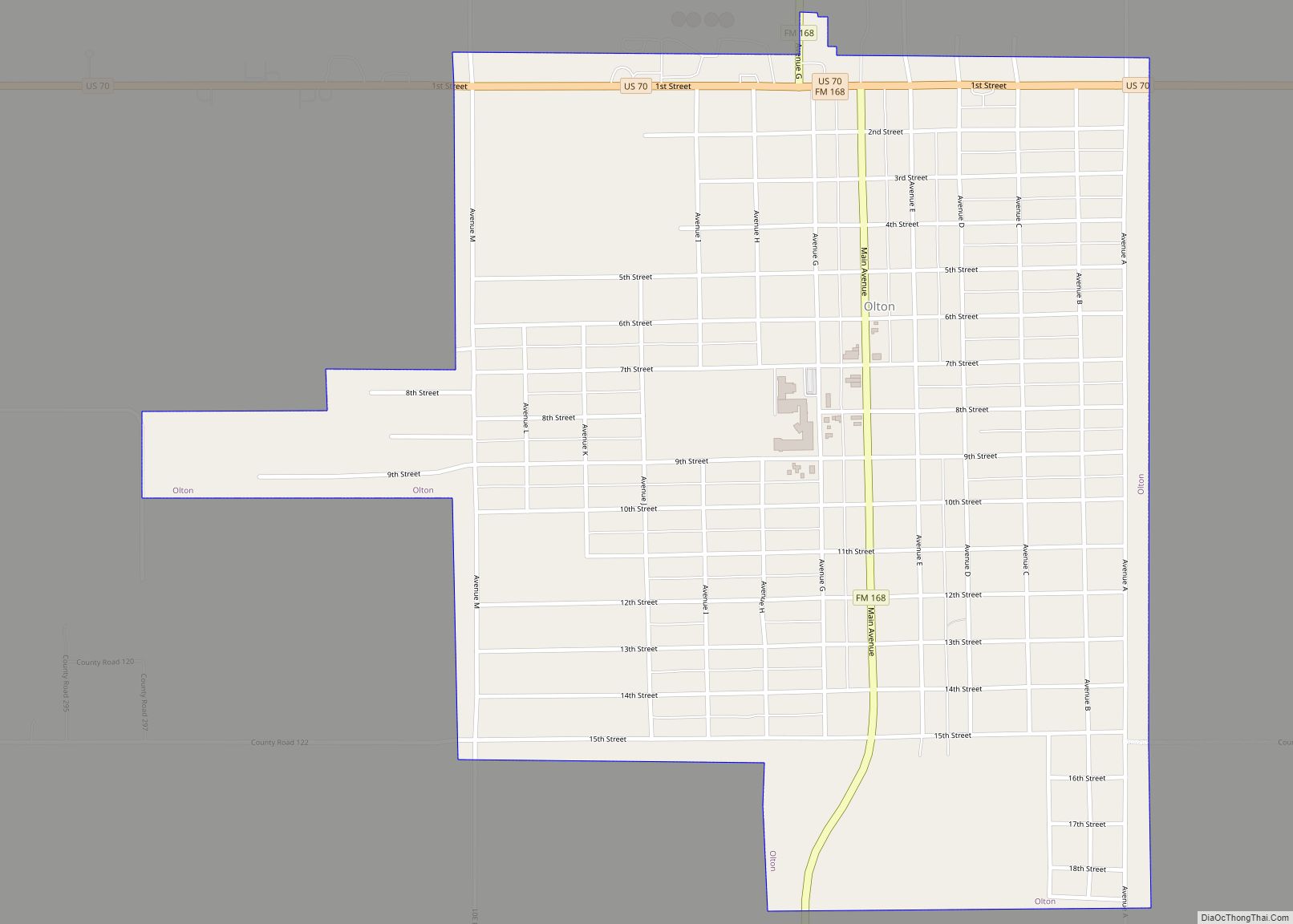
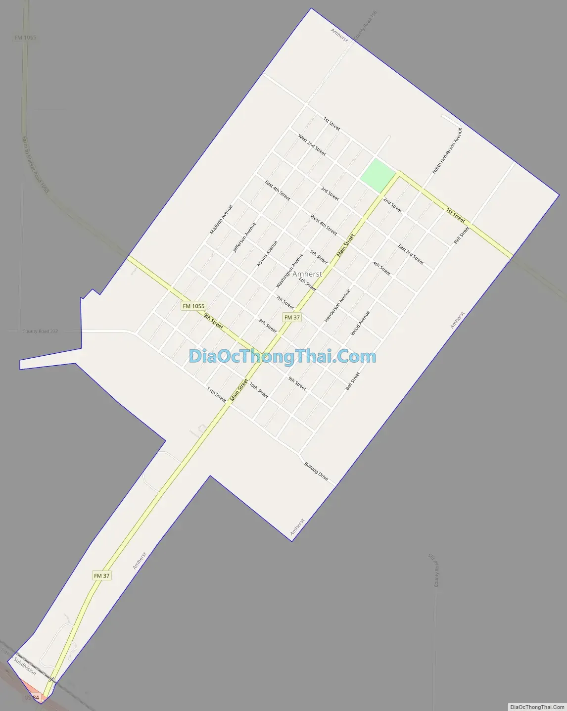
Online Interactive Map
Click on ![]() to view map in "full screen" mode.
to view map in "full screen" mode.
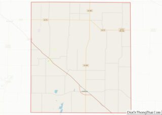
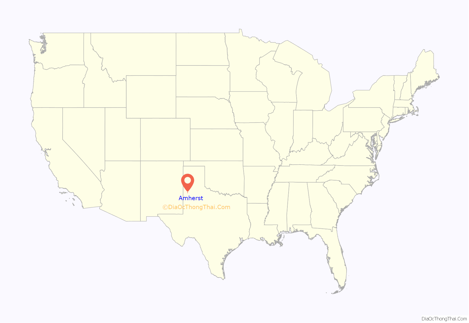
Amherst location map. Where is Amherst city?
History
Amherst, on U.S. Route 84 and the BNSF Railway in west central Lamb County, began in 1913 as a Pecos and Northern Texas Railway station for William E. Halsell’s Mashed O Ranch. A townsite was platted a mile from the Santa Fe depot in 1923 and named for Amherst College by a railroad official. The post office opened in 1924. By 1930 thirty-five businesses and 964 people constituted a lively trade center, and amenities included a newspaper, the Amherst Argus. For many years the Amherst Hotel, the town’s first permanent building, was the most popular stopping place between Clovis, New Mexico and Lubbock, Texas. The population in Amherst was 749 in 1940, when the first co-op hospital in Texas was built there. Incorporation came in 1970, when the population was 825. In 1980 the population was 971, and businesses included five cotton gins and two grain elevators. Sod House Spring Monument, commemorating the first cow camp in the area, is located 6 miles (10 km) northwest of Amherst, and Plant X, one of Southwestern Public Service’s largest generating plants, is nine miles north.
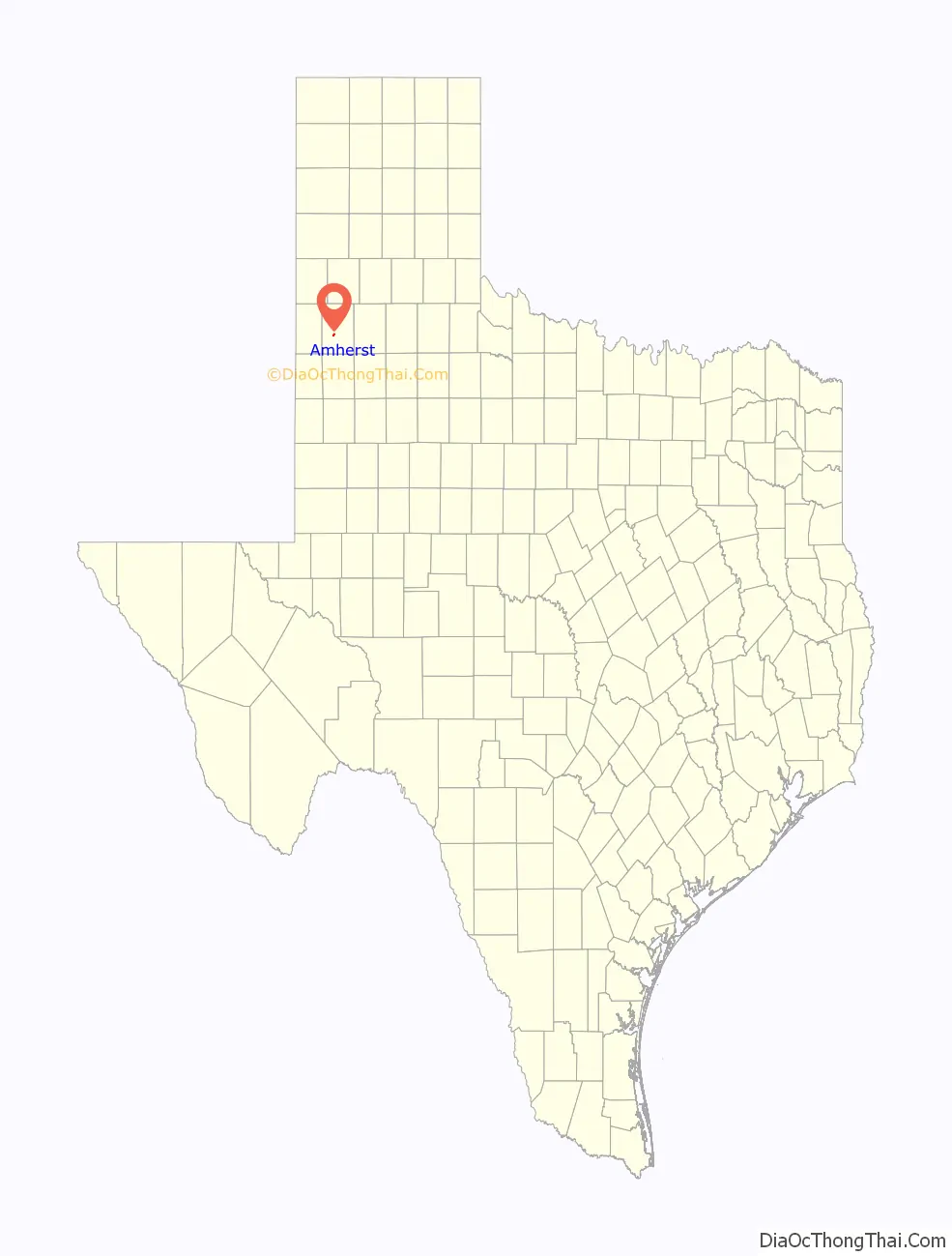
Amherst Road Map
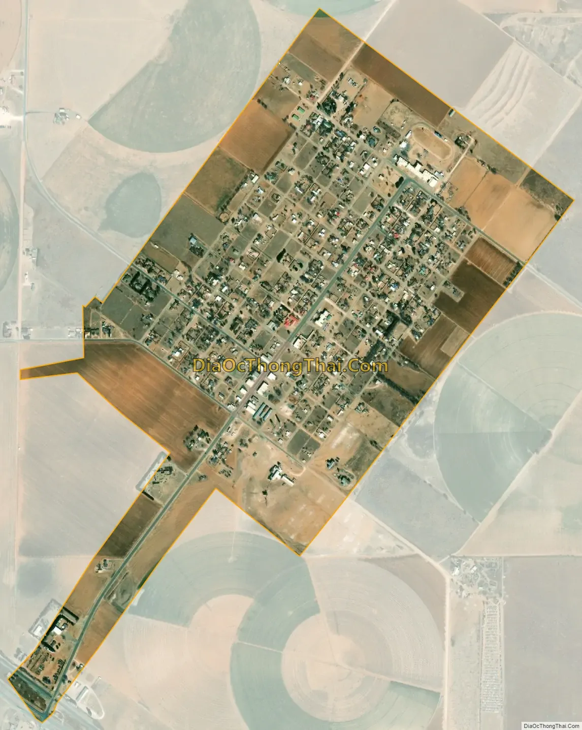
Amherst city Satellite Map
Geography
Amherst is in central Lamb County, 8 miles (13 km) northwest of Littlefield, the county seat, and 24 miles (39 km) southeast of Muleshoe. U.S. Route 84 passes just southwest of Amherst, connecting Littlefield and Muleshoe.
According to the U.S. Census Bureau, Amherst has an area of 0.93 square miles (2.4 km), all land.
Climate
According to the Köppen Climate Classification system, Amherst has a semi-arid climate, abbreviated “BSk” on climate maps.
See also
Map of Texas State and its subdivision:- Anderson
- Andrews
- Angelina
- Aransas
- Archer
- Armstrong
- Atascosa
- Austin
- Bailey
- Bandera
- Bastrop
- Baylor
- Bee
- Bell
- Bexar
- Blanco
- Borden
- Bosque
- Bowie
- Brazoria
- Brazos
- Brewster
- Briscoe
- Brooks
- Brown
- Burleson
- Burnet
- Caldwell
- Calhoun
- Callahan
- Cameron
- Camp
- Carson
- Cass
- Castro
- Chambers
- Cherokee
- Childress
- Clay
- Cochran
- Coke
- Coleman
- Collin
- Collingsworth
- Colorado
- Comal
- Comanche
- Concho
- Cooke
- Coryell
- Cottle
- Crane
- Crockett
- Crosby
- Culberson
- Dallam
- Dallas
- Dawson
- Deaf Smith
- Delta
- Denton
- Dewitt
- Dickens
- Dimmit
- Donley
- Duval
- Eastland
- Ector
- Edwards
- El Paso
- Ellis
- Erath
- Falls
- Fannin
- Fayette
- Fisher
- Floyd
- Foard
- Fort Bend
- Franklin
- Freestone
- Frio
- Gaines
- Galveston
- Garza
- Gillespie
- Glasscock
- Goliad
- Gonzales
- Gray
- Grayson
- Gregg
- Grimes
- Guadalupe
- Hale
- Hall
- Hamilton
- Hansford
- Hardeman
- Hardin
- Harris
- Harrison
- Hartley
- Haskell
- Hays
- Hemphill
- Henderson
- Hidalgo
- Hill
- Hockley
- Hood
- Hopkins
- Houston
- Howard
- Hudspeth
- Hunt
- Hutchinson
- Irion
- Jack
- Jackson
- Jasper
- Jeff Davis
- Jefferson
- Jim Hogg
- Jim Wells
- Johnson
- Jones
- Karnes
- Kaufman
- Kendall
- Kenedy
- Kent
- Kerr
- Kimble
- King
- Kinney
- Kleberg
- Knox
- La Salle
- Lamar
- Lamb
- Lampasas
- Lavaca
- Lee
- Leon
- Liberty
- Limestone
- Lipscomb
- Live Oak
- Llano
- Loving
- Lubbock
- Lynn
- Madison
- Marion
- Martin
- Mason
- Matagorda
- Maverick
- McCulloch
- McLennan
- McMullen
- Medina
- Menard
- Midland
- Milam
- Mills
- Mitchell
- Montague
- Montgomery
- Moore
- Morris
- Motley
- Nacogdoches
- Navarro
- Newton
- Nolan
- Nueces
- Ochiltree
- Oldham
- Orange
- Palo Pinto
- Panola
- Parker
- Parmer
- Pecos
- Polk
- Potter
- Presidio
- Rains
- Randall
- Reagan
- Real
- Red River
- Reeves
- Refugio
- Roberts
- Robertson
- Rockwall
- Runnels
- Rusk
- Sabine
- San Augustine
- San Jacinto
- San Patricio
- San Saba
- Schleicher
- Scurry
- Shackelford
- Shelby
- Sherman
- Smith
- Somervell
- Starr
- Stephens
- Sterling
- Stonewall
- Sutton
- Swisher
- Tarrant
- Taylor
- Terrell
- Terry
- Throckmorton
- Titus
- Tom Green
- Travis
- Trinity
- Tyler
- Upshur
- Upton
- Uvalde
- Val Verde
- Van Zandt
- Victoria
- Walker
- Waller
- Ward
- Washington
- Webb
- Wharton
- Wheeler
- Wichita
- Wilbarger
- Willacy
- Williamson
- Wilson
- Winkler
- Wise
- Wood
- Yoakum
- Young
- Zapata
- Zavala
- Alabama
- Alaska
- Arizona
- Arkansas
- California
- Colorado
- Connecticut
- Delaware
- District of Columbia
- Florida
- Georgia
- Hawaii
- Idaho
- Illinois
- Indiana
- Iowa
- Kansas
- Kentucky
- Louisiana
- Maine
- Maryland
- Massachusetts
- Michigan
- Minnesota
- Mississippi
- Missouri
- Montana
- Nebraska
- Nevada
- New Hampshire
- New Jersey
- New Mexico
- New York
- North Carolina
- North Dakota
- Ohio
- Oklahoma
- Oregon
- Pennsylvania
- Rhode Island
- South Carolina
- South Dakota
- Tennessee
- Texas
- Utah
- Vermont
- Virginia
- Washington
- West Virginia
- Wisconsin
- Wyoming