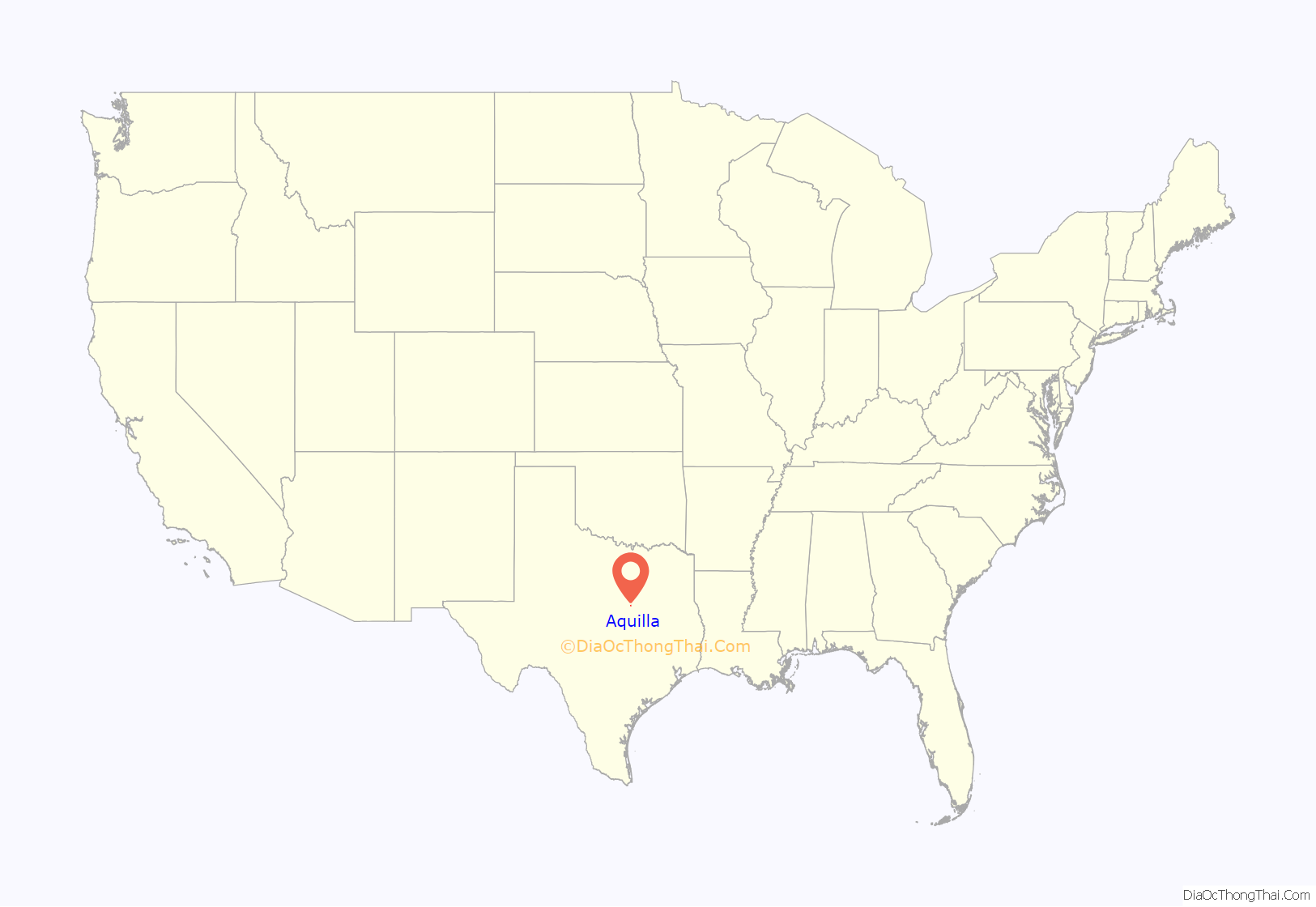
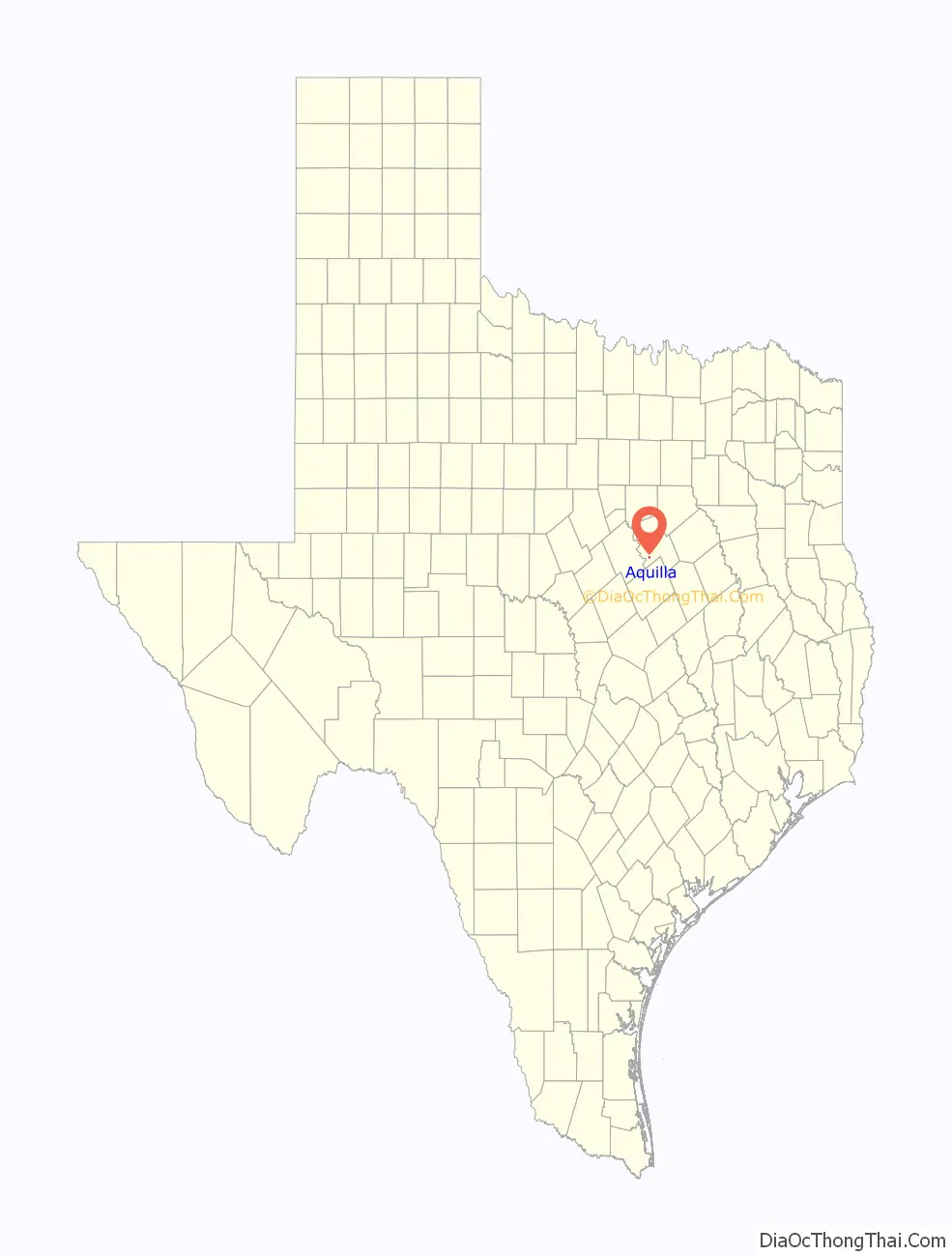
Aquilla (/əˈkwɪlə/ ə-KWIL-ə) is a city located in Hill County, Texas, United States. It is located on Farm Road 933 16 miles (26 km) southwest of Hillsboro. The population was 109 at the 2010 census.
| Name: | Aquilla city |
|---|---|
| LSAD Code: | 25 |
| LSAD Description: | city (suffix) |
| State: | Texas |
| County: | Hill County |
| Elevation: | 522 ft (159 m) |
| Total Area: | 0.28 sq mi (0.73 km²) |
| Land Area: | 0.28 sq mi (0.73 km²) |
| Water Area: | 0.00 sq mi (0.00 km²) |
| Total Population: | 109 |
| Population Density: | 400.71/sq mi (154.97/km²) |
| ZIP code: | 76622 |
| Area code: | 254 |
| FIPS code: | 4803588 |
| GNISfeature ID: | 1329645 |
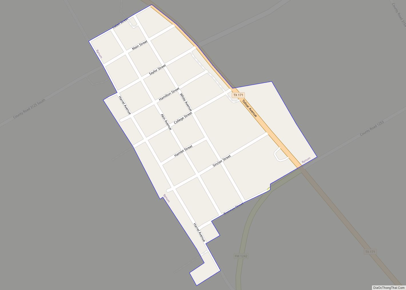
Online Interactive Map
Click on ![]() to view map in "full screen" mode.
to view map in "full screen" mode.
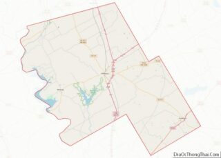
Aquilla location map. Where is Aquilla city?
History
From the Handbook of Texas Online:
“Settlers, attracted to the site because it was the nearest point to Hillsboro where timber could be found, began moving into the area in the 1840s. The original settlement, near the site of present Aquilla, was called Mudtown. The community of Aquilla and nearby Aquilla Creek were probably named for early settler Aquilla Jones. The town received a post office in 1859. Twenty years later the tracks of the Texas Central Railroad crossed southwestern Hill County, passing within a few miles of the timber settlement. Shortly thereafter, businesses and residents moved a few miles south to the rail line. The community’s population was 175 in 1886 and 100 in 1892. A series of illnesses resulted from drinking creek water, so a well was dug in 1897 to provide fresh water. One of the state’s first chartered banks opened at Aquilla in 1905, when the town also had a health spa. In 1910 the population surpassed 200. By 1914 it had a population of over 500 and thirteen retail stores, three hotels, four churches, a school, a newspaper, a bank, and a thriving lumber company. By the late 1950s there were 250 residents and ten businesses in Aquilla. In 2000 there were thirteen businesses and 136 residents.”
In 2017 there were 109 residents and two churches.
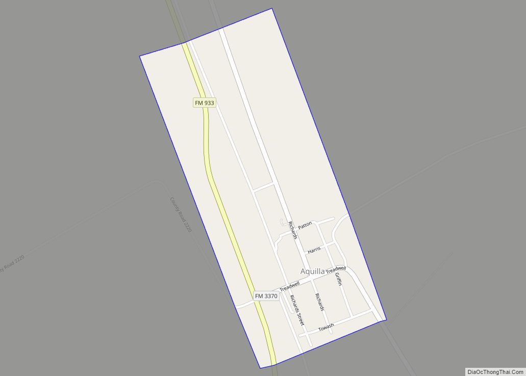
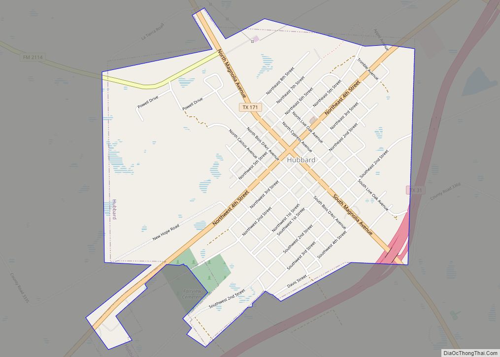
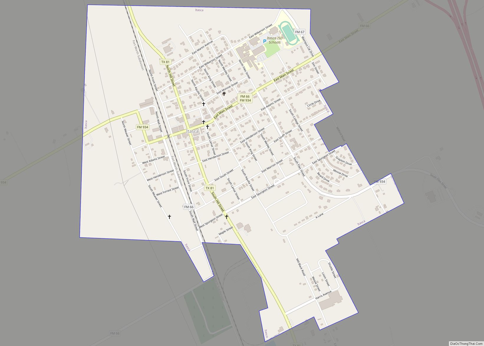
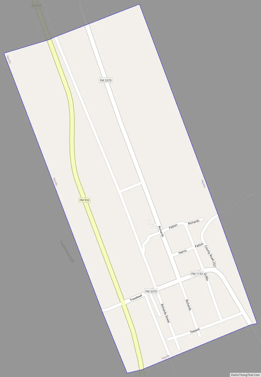
Aquilla Road Map
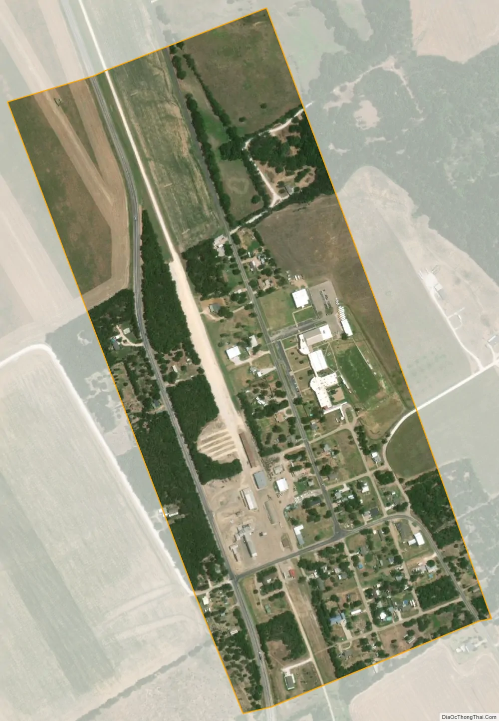
Aquilla city Satellite Map
Geography
Aquilla is located in southwestern Hill County at 31°51′8″N 97°13′9″W / 31.85222°N 97.21917°W / 31.85222; -97.21917 (31.852112, –97.219104). It is 9 miles (14 km) west of Interstate 35, 26 miles (42 km) north of Waco, and 72 miles (116 km) south of Fort Worth.
According to the United States Census Bureau, Aquilla has an area of 0.3 square miles (0.7 km), all of it land.
See also
Map of Texas State and its subdivision:- Anderson
- Andrews
- Angelina
- Aransas
- Archer
- Armstrong
- Atascosa
- Austin
- Bailey
- Bandera
- Bastrop
- Baylor
- Bee
- Bell
- Bexar
- Blanco
- Borden
- Bosque
- Bowie
- Brazoria
- Brazos
- Brewster
- Briscoe
- Brooks
- Brown
- Burleson
- Burnet
- Caldwell
- Calhoun
- Callahan
- Cameron
- Camp
- Carson
- Cass
- Castro
- Chambers
- Cherokee
- Childress
- Clay
- Cochran
- Coke
- Coleman
- Collin
- Collingsworth
- Colorado
- Comal
- Comanche
- Concho
- Cooke
- Coryell
- Cottle
- Crane
- Crockett
- Crosby
- Culberson
- Dallam
- Dallas
- Dawson
- Deaf Smith
- Delta
- Denton
- Dewitt
- Dickens
- Dimmit
- Donley
- Duval
- Eastland
- Ector
- Edwards
- El Paso
- Ellis
- Erath
- Falls
- Fannin
- Fayette
- Fisher
- Floyd
- Foard
- Fort Bend
- Franklin
- Freestone
- Frio
- Gaines
- Galveston
- Garza
- Gillespie
- Glasscock
- Goliad
- Gonzales
- Gray
- Grayson
- Gregg
- Grimes
- Guadalupe
- Hale
- Hall
- Hamilton
- Hansford
- Hardeman
- Hardin
- Harris
- Harrison
- Hartley
- Haskell
- Hays
- Hemphill
- Henderson
- Hidalgo
- Hill
- Hockley
- Hood
- Hopkins
- Houston
- Howard
- Hudspeth
- Hunt
- Hutchinson
- Irion
- Jack
- Jackson
- Jasper
- Jeff Davis
- Jefferson
- Jim Hogg
- Jim Wells
- Johnson
- Jones
- Karnes
- Kaufman
- Kendall
- Kenedy
- Kent
- Kerr
- Kimble
- King
- Kinney
- Kleberg
- Knox
- La Salle
- Lamar
- Lamb
- Lampasas
- Lavaca
- Lee
- Leon
- Liberty
- Limestone
- Lipscomb
- Live Oak
- Llano
- Loving
- Lubbock
- Lynn
- Madison
- Marion
- Martin
- Mason
- Matagorda
- Maverick
- McCulloch
- McLennan
- McMullen
- Medina
- Menard
- Midland
- Milam
- Mills
- Mitchell
- Montague
- Montgomery
- Moore
- Morris
- Motley
- Nacogdoches
- Navarro
- Newton
- Nolan
- Nueces
- Ochiltree
- Oldham
- Orange
- Palo Pinto
- Panola
- Parker
- Parmer
- Pecos
- Polk
- Potter
- Presidio
- Rains
- Randall
- Reagan
- Real
- Red River
- Reeves
- Refugio
- Roberts
- Robertson
- Rockwall
- Runnels
- Rusk
- Sabine
- San Augustine
- San Jacinto
- San Patricio
- San Saba
- Schleicher
- Scurry
- Shackelford
- Shelby
- Sherman
- Smith
- Somervell
- Starr
- Stephens
- Sterling
- Stonewall
- Sutton
- Swisher
- Tarrant
- Taylor
- Terrell
- Terry
- Throckmorton
- Titus
- Tom Green
- Travis
- Trinity
- Tyler
- Upshur
- Upton
- Uvalde
- Val Verde
- Van Zandt
- Victoria
- Walker
- Waller
- Ward
- Washington
- Webb
- Wharton
- Wheeler
- Wichita
- Wilbarger
- Willacy
- Williamson
- Wilson
- Winkler
- Wise
- Wood
- Yoakum
- Young
- Zapata
- Zavala
- Alabama
- Alaska
- Arizona
- Arkansas
- California
- Colorado
- Connecticut
- Delaware
- District of Columbia
- Florida
- Georgia
- Hawaii
- Idaho
- Illinois
- Indiana
- Iowa
- Kansas
- Kentucky
- Louisiana
- Maine
- Maryland
- Massachusetts
- Michigan
- Minnesota
- Mississippi
- Missouri
- Montana
- Nebraska
- Nevada
- New Hampshire
- New Jersey
- New Mexico
- New York
- North Carolina
- North Dakota
- Ohio
- Oklahoma
- Oregon
- Pennsylvania
- Rhode Island
- South Carolina
- South Dakota
- Tennessee
- Texas
- Utah
- Vermont
- Virginia
- Washington
- West Virginia
- Wisconsin
- Wyoming