Atlanta is a city in Cass County, northeastern Texas, United States. According to the 2010 U.S. census, the city had a population of 5,675, which decreased to 5,433 in 2020.
| Name: | Atlanta city |
|---|---|
| LSAD Code: | 25 |
| LSAD Description: | city (suffix) |
| State: | Texas |
| County: | Cass County |
| Elevation: | 259 ft (79 m) |
| Total Area: | 12.65 sq mi (32.77 km²) |
| Land Area: | 12.50 sq mi (32.37 km²) |
| Water Area: | 0.15 sq mi (0.39 km²) |
| Total Population: | 5,433 |
| Population Density: | 430/sq mi (170/km²) |
| ZIP code: | 75551 |
| Area code: | 903 |
| FIPS code: | 4804516 |
| GNISfeature ID: | 1372354 |
| Website: | atlantatexas.org |
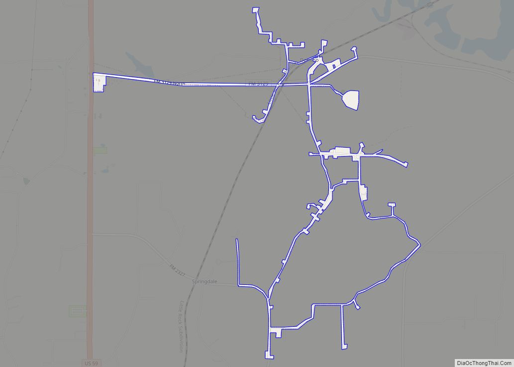
Online Interactive Map
Click on ![]() to view map in "full screen" mode.
to view map in "full screen" mode.
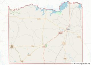
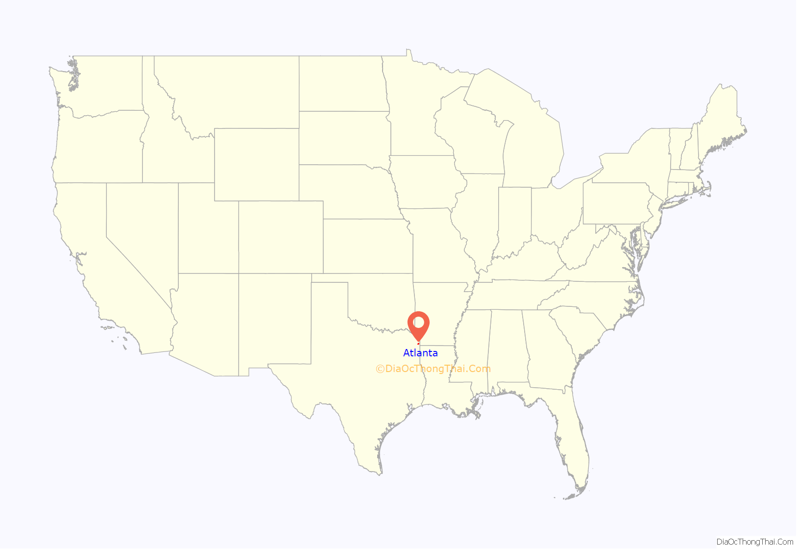
Atlanta location map. Where is Atlanta city?
History
Atlanta was established in 1872 with the building of the Texas and Pacific Railway and was named for Atlanta, Georgia, former home of many early settlers; a post office was opened that same year. Atlanta, Texas is now the second largest Atlanta in the nation. Other “Atlantas” exist in Arkansas, Louisiana, Missouri, and elsewhere. Atlanta, Texas is known as “Hometown, USA”.
By 1885 the community had 1,500 residents, who had founded three white and two black churches, two schools, a bank, several sawmills, a number of general stores, and a weekly newspaper, the Citizens’ Journal. Lumbering was the chief industry. The lumber boom reached its peak around 1890, when the population was 1,764. When the community was incorporated in 1929, it had 1,900 residents and 105 businesses.
The onset of the Great Depression in the 1930s forced many businesses to close, and in 1936 Atlanta had 85 rated businesses. The opening of the Rodessa oilfield in 1935, however, helped mitigate the worst effects of the Depression. By 1940 the town had modern canneries, lumber mills, wholesale houses, a brick plant, a hospital, and a population of 2,453. Subsequently, Atlanta grew steadily, topping the 4,000 mark for the first time in the early 1960s. In 1990 the population was 6,118. By 2000 the population had dropped to 5,745. Principal industries include farming, forestry, oil, and tourism.
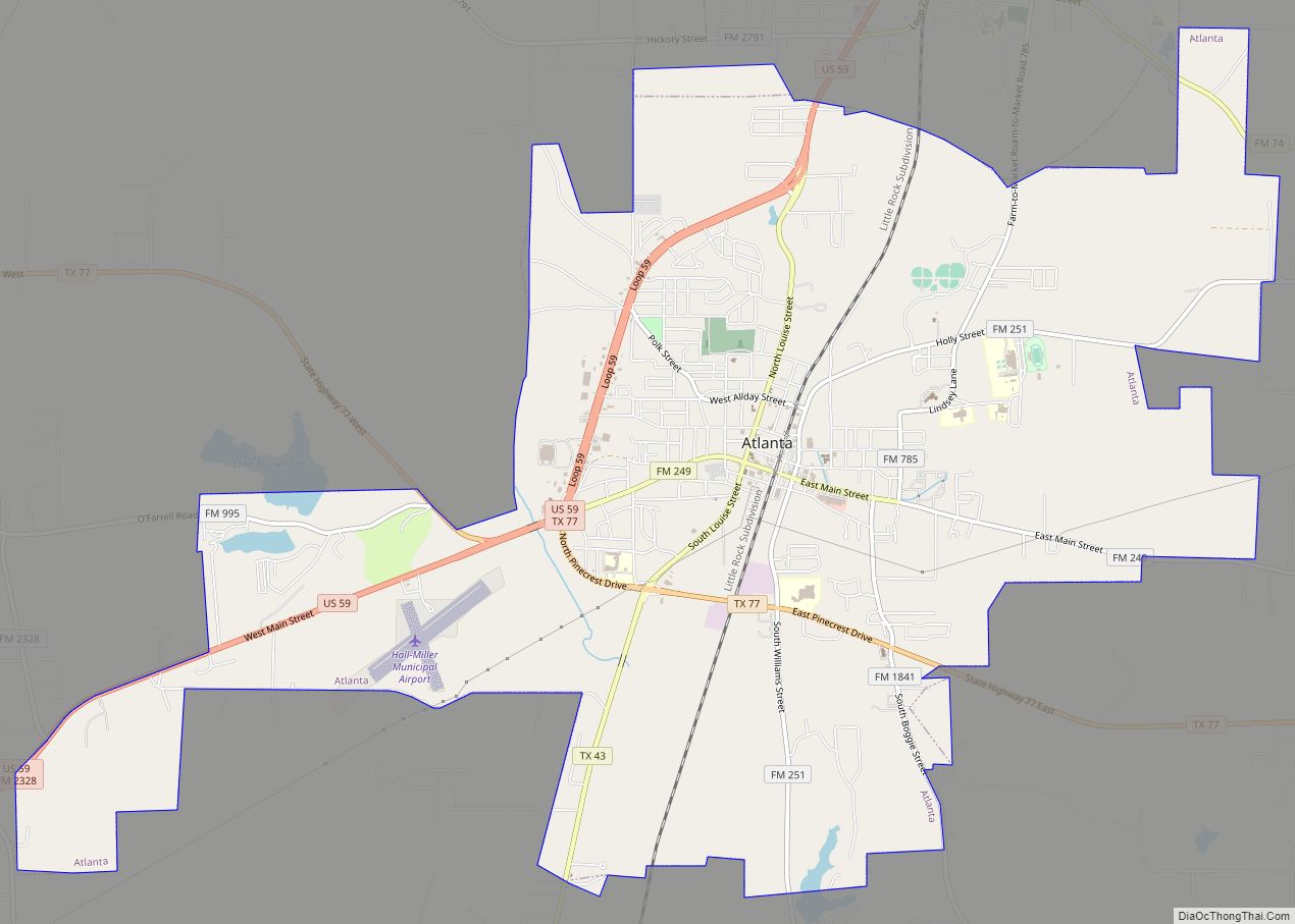
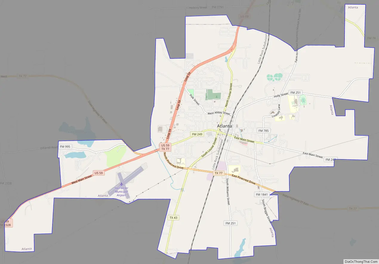
Atlanta Road Map
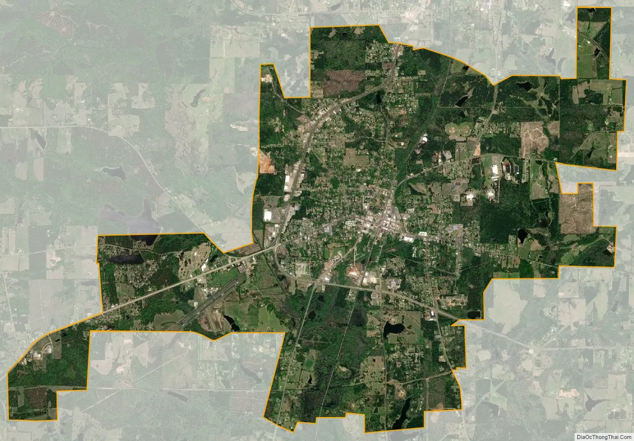
Atlanta city Satellite Map
Geography
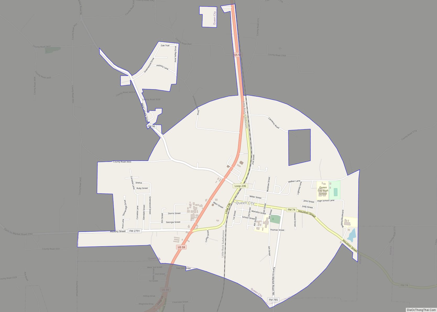
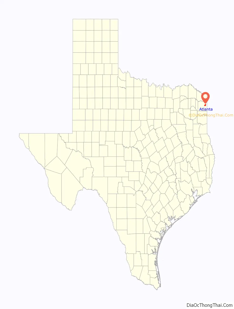
Atlanta is the largest city in Cass county and is located in eastern Cass County at 33°7′6″N 94°10′0″W / 33.11833°N 94.16667°W / 33.11833; -94.16667 (33.118228, –94.166537). It is bordered to the north by Queen City.
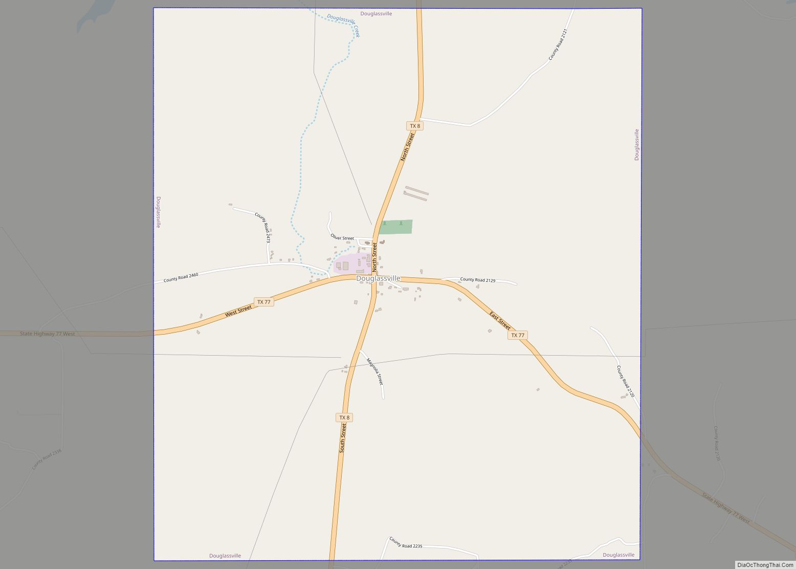
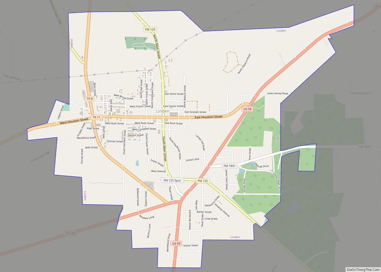
U.S. Route 59 bypasses the city to the west, leading north 25 miles (40 km) to Texarkana and southwest 14 miles (23 km) to Linden. Texas State Highway 77 passes through the southern side of the city, leading southeast 10 miles (16 km) to the Louisiana border and northwest 13 miles (21 km) to Douglassville. Texas State Highway 43 passes through the center of Atlanta and leads south 47 miles (76 km) to Marshall.
According to the United States Census Bureau, Atlanta has a total area of 12.7 square miles (32.8 km), of which 12.5 square miles (32.4 km) is land and 0.2 square miles (0.4 km), or 1.19%, is water.
Climate
The climate in this area is characterized by hot, humid summers and generally mild to cool winters. According to the Köppen Climate Classification system, Atlanta has a humid subtropical climate, abbreviated “Cfa” on climate maps.
See also
Map of Texas State and its subdivision:- Anderson
- Andrews
- Angelina
- Aransas
- Archer
- Armstrong
- Atascosa
- Austin
- Bailey
- Bandera
- Bastrop
- Baylor
- Bee
- Bell
- Bexar
- Blanco
- Borden
- Bosque
- Bowie
- Brazoria
- Brazos
- Brewster
- Briscoe
- Brooks
- Brown
- Burleson
- Burnet
- Caldwell
- Calhoun
- Callahan
- Cameron
- Camp
- Carson
- Cass
- Castro
- Chambers
- Cherokee
- Childress
- Clay
- Cochran
- Coke
- Coleman
- Collin
- Collingsworth
- Colorado
- Comal
- Comanche
- Concho
- Cooke
- Coryell
- Cottle
- Crane
- Crockett
- Crosby
- Culberson
- Dallam
- Dallas
- Dawson
- Deaf Smith
- Delta
- Denton
- Dewitt
- Dickens
- Dimmit
- Donley
- Duval
- Eastland
- Ector
- Edwards
- El Paso
- Ellis
- Erath
- Falls
- Fannin
- Fayette
- Fisher
- Floyd
- Foard
- Fort Bend
- Franklin
- Freestone
- Frio
- Gaines
- Galveston
- Garza
- Gillespie
- Glasscock
- Goliad
- Gonzales
- Gray
- Grayson
- Gregg
- Grimes
- Guadalupe
- Hale
- Hall
- Hamilton
- Hansford
- Hardeman
- Hardin
- Harris
- Harrison
- Hartley
- Haskell
- Hays
- Hemphill
- Henderson
- Hidalgo
- Hill
- Hockley
- Hood
- Hopkins
- Houston
- Howard
- Hudspeth
- Hunt
- Hutchinson
- Irion
- Jack
- Jackson
- Jasper
- Jeff Davis
- Jefferson
- Jim Hogg
- Jim Wells
- Johnson
- Jones
- Karnes
- Kaufman
- Kendall
- Kenedy
- Kent
- Kerr
- Kimble
- King
- Kinney
- Kleberg
- Knox
- La Salle
- Lamar
- Lamb
- Lampasas
- Lavaca
- Lee
- Leon
- Liberty
- Limestone
- Lipscomb
- Live Oak
- Llano
- Loving
- Lubbock
- Lynn
- Madison
- Marion
- Martin
- Mason
- Matagorda
- Maverick
- McCulloch
- McLennan
- McMullen
- Medina
- Menard
- Midland
- Milam
- Mills
- Mitchell
- Montague
- Montgomery
- Moore
- Morris
- Motley
- Nacogdoches
- Navarro
- Newton
- Nolan
- Nueces
- Ochiltree
- Oldham
- Orange
- Palo Pinto
- Panola
- Parker
- Parmer
- Pecos
- Polk
- Potter
- Presidio
- Rains
- Randall
- Reagan
- Real
- Red River
- Reeves
- Refugio
- Roberts
- Robertson
- Rockwall
- Runnels
- Rusk
- Sabine
- San Augustine
- San Jacinto
- San Patricio
- San Saba
- Schleicher
- Scurry
- Shackelford
- Shelby
- Sherman
- Smith
- Somervell
- Starr
- Stephens
- Sterling
- Stonewall
- Sutton
- Swisher
- Tarrant
- Taylor
- Terrell
- Terry
- Throckmorton
- Titus
- Tom Green
- Travis
- Trinity
- Tyler
- Upshur
- Upton
- Uvalde
- Val Verde
- Van Zandt
- Victoria
- Walker
- Waller
- Ward
- Washington
- Webb
- Wharton
- Wheeler
- Wichita
- Wilbarger
- Willacy
- Williamson
- Wilson
- Winkler
- Wise
- Wood
- Yoakum
- Young
- Zapata
- Zavala
- Alabama
- Alaska
- Arizona
- Arkansas
- California
- Colorado
- Connecticut
- Delaware
- District of Columbia
- Florida
- Georgia
- Hawaii
- Idaho
- Illinois
- Indiana
- Iowa
- Kansas
- Kentucky
- Louisiana
- Maine
- Maryland
- Massachusetts
- Michigan
- Minnesota
- Mississippi
- Missouri
- Montana
- Nebraska
- Nevada
- New Hampshire
- New Jersey
- New Mexico
- New York
- North Carolina
- North Dakota
- Ohio
- Oklahoma
- Oregon
- Pennsylvania
- Rhode Island
- South Carolina
- South Dakota
- Tennessee
- Texas
- Utah
- Vermont
- Virginia
- Washington
- West Virginia
- Wisconsin
- Wyoming