Bardwell is a city in Ellis County, in the U.S. state of Texas. The population was 649 at the 2010 census.
| Name: | Bardwell city |
|---|---|
| LSAD Code: | 25 |
| LSAD Description: | city (suffix) |
| State: | Texas |
| County: | Ellis County |
| Elevation: | 482 ft (147 m) |
| Total Area: | 0.30 sq mi (0.79 km²) |
| Land Area: | 0.30 sq mi (0.79 km²) |
| Water Area: | 0.00 sq mi (0.00 km²) |
| Total Population: | 649 |
| Population Density: | 2,259.02/sq mi (872.96/km²) |
| ZIP code: | 75101 |
| Area code: | 972 |
| FIPS code: | 4805612 |
| GNISfeature ID: | 1330034 |
Online Interactive Map
Click on ![]() to view map in "full screen" mode.
to view map in "full screen" mode.
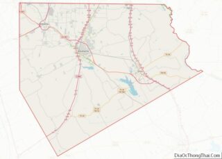
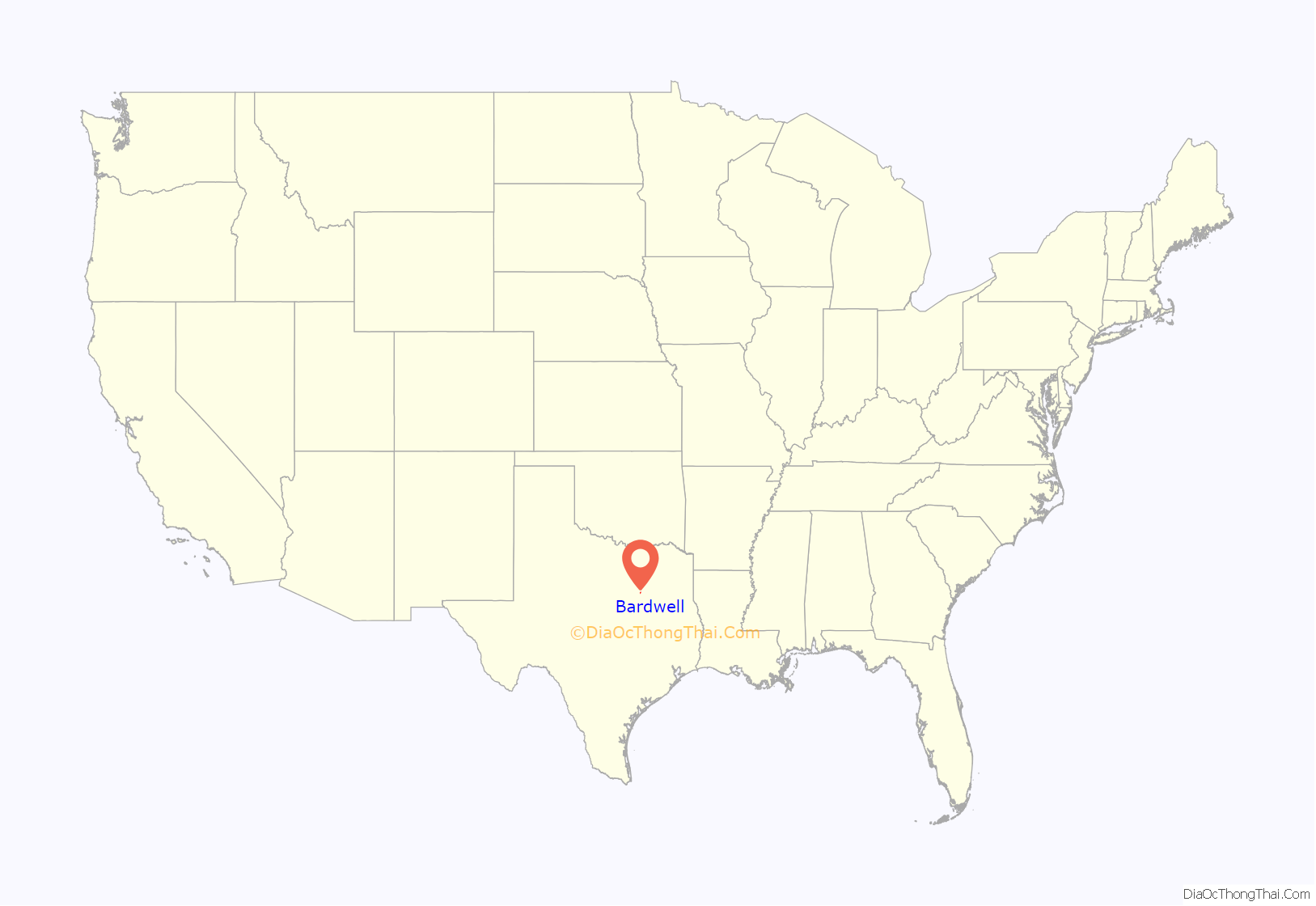
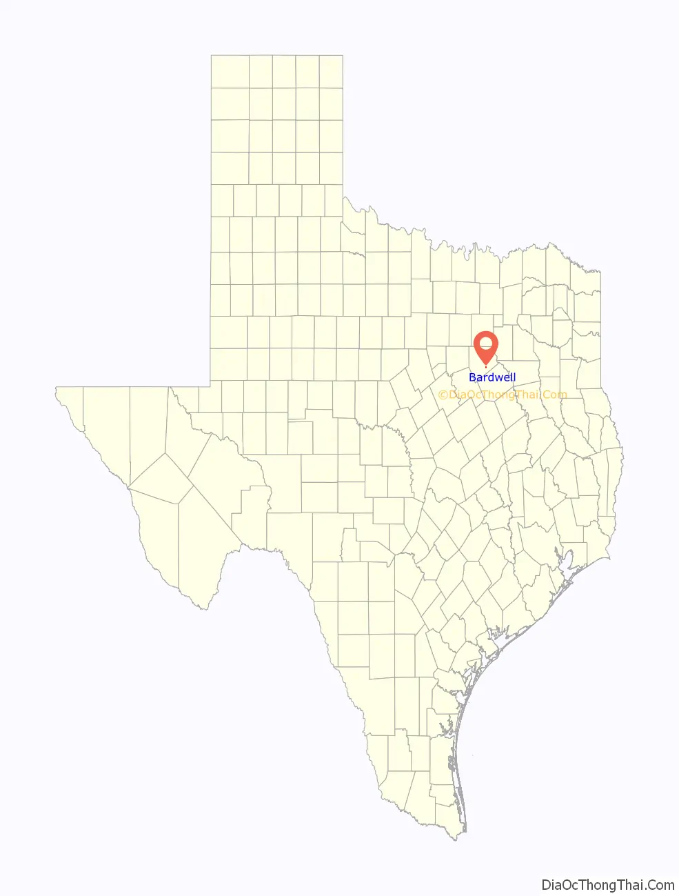
Bardwell location map. Where is Bardwell city?
History
The community was settled in the early 1880s when the town’s namesake, John W. Bardwell, built a cotton gin one mile south of the present-day location. A school opened in 1892 and a post office was established in 1893. When the Trinity and Brazos Valley Railway was routed through Ellis County in 1907, the gin and community were moved to the nearest stretch of track. The town had its own telephone system and electricity supplied by lines from Ennis in 1914. Bardwell prospered throughout the 1920s as a cotton shipping point with three gins and six grocery stores. The population grew to 650 by 1929, but the Great Depression and a subsequent drought severely impacted the community. The main road was rerouted to the new State Highway 34 in the early 1940s and most of Bardwell’s businesses either closed or moved to sites along the highway. In 1958, Bardwell’s school consolidated with nearby Ennis. After dropping to a low of 277 during the 1970s, the population began to grow. By 1990, 387 people lived in Bardwell. That figure had grown to 583 by 2000.
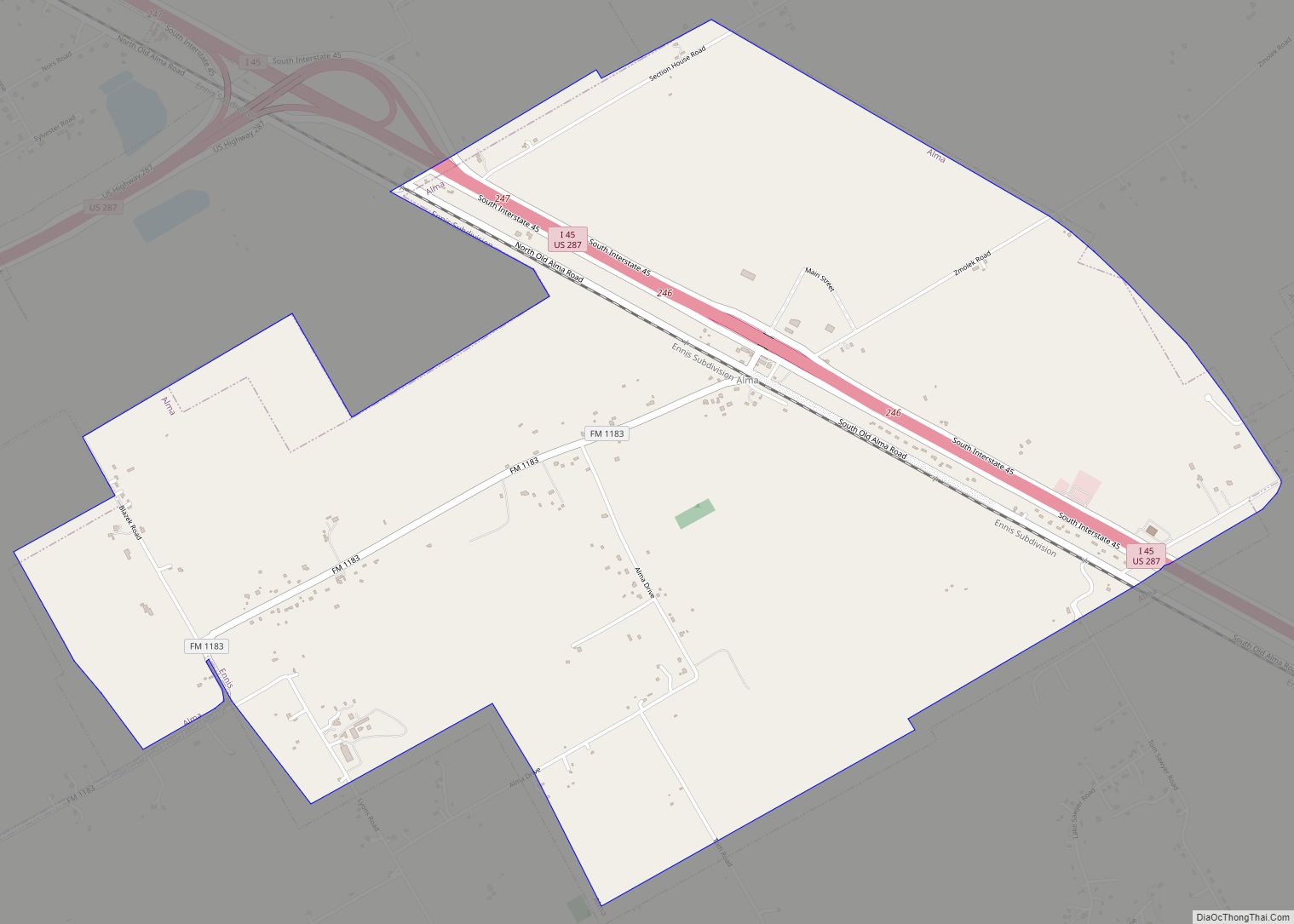
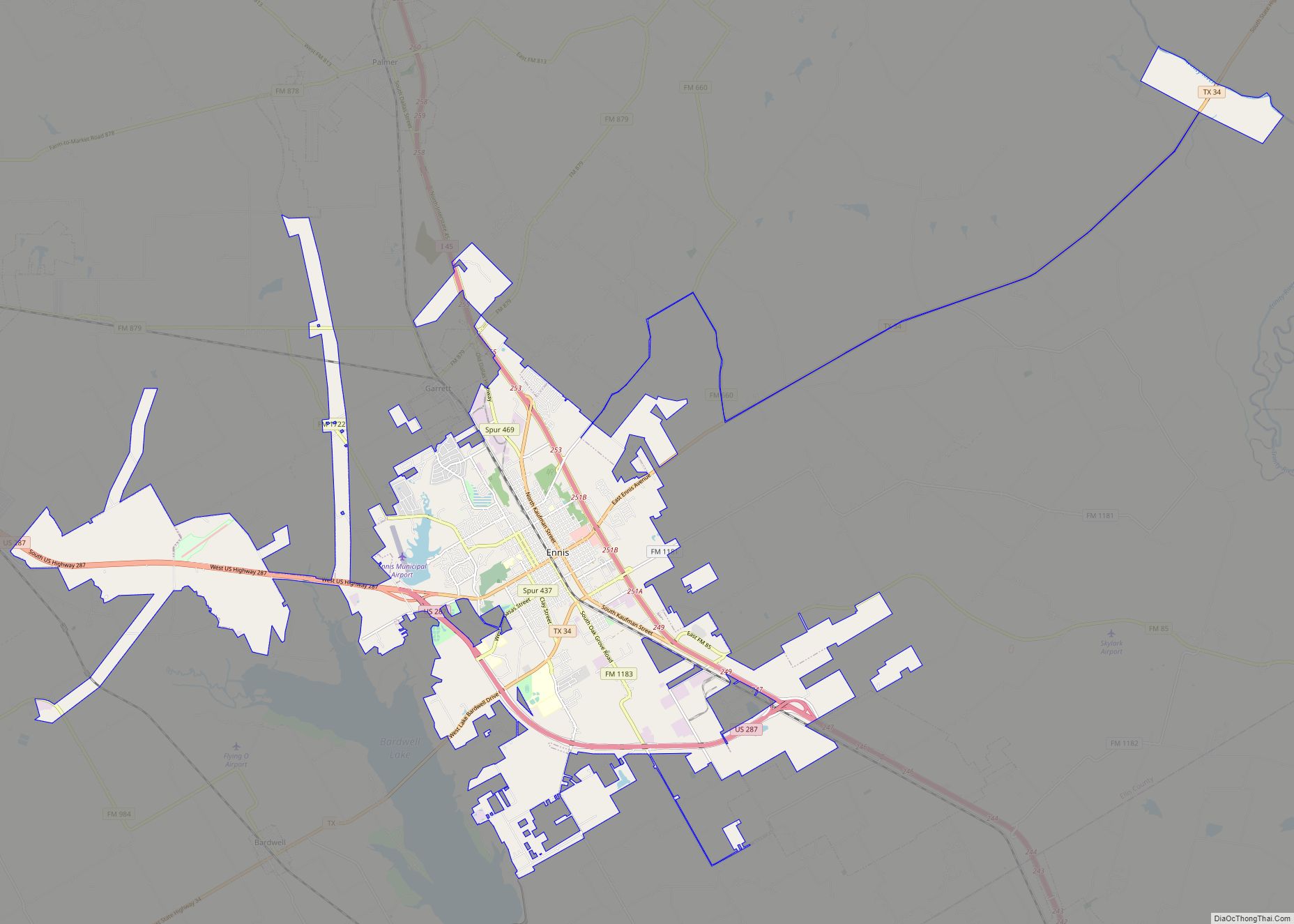
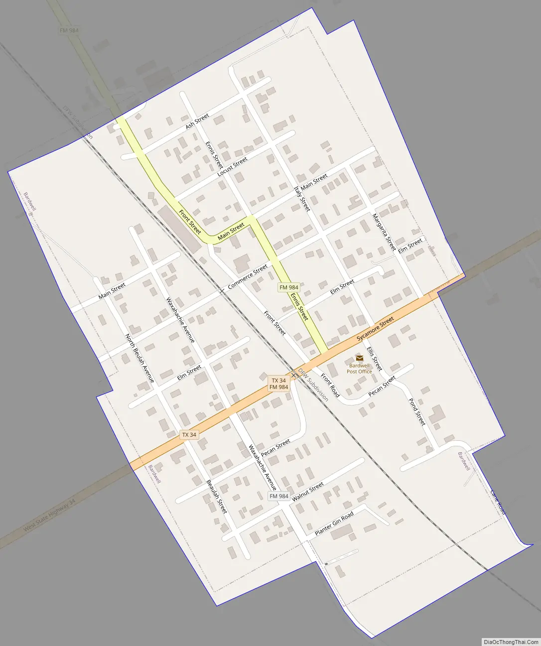
Bardwell Road Map
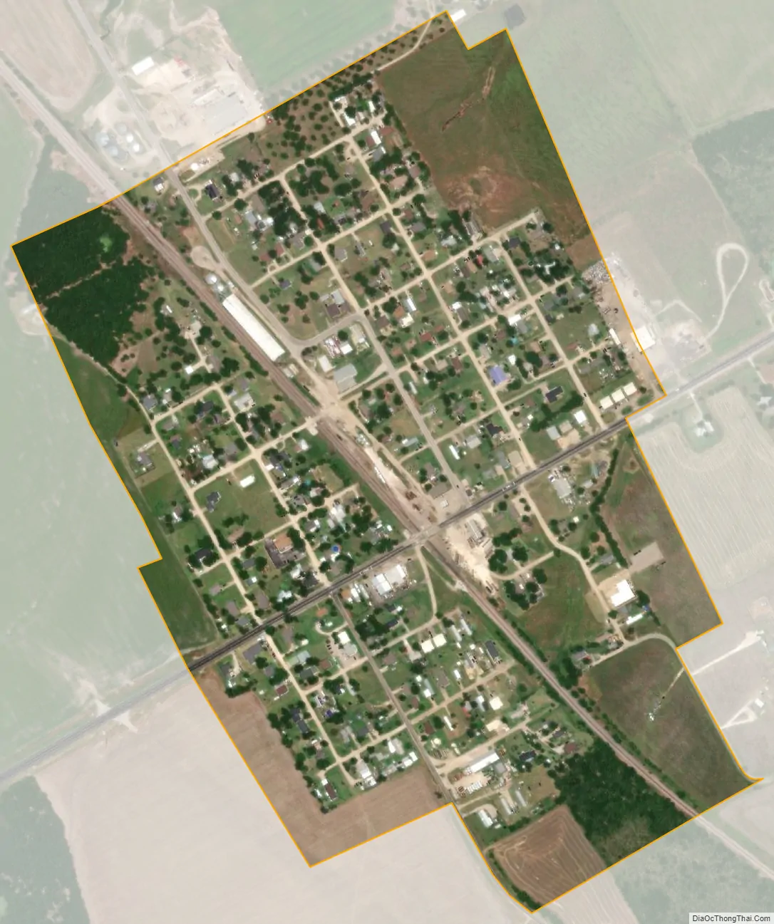
Bardwell city Satellite Map
Geography
Bardwell is located at 32°16′3″N 96°41′42″W / 32.26750°N 96.69500°W / 32.26750; -96.69500 (32.267602, –96.695028), at the junction of State Highway 34 and Farm to Market Road 984 in southern Ellis County, 15 miles (24 km) southeast of Waxahachie. Highway 34 leads northeast 7 miles (11 km) to Ennis and southwest 13 miles (21 km) to Italy. Lake Bardwell is 2 miles (3 km) to the east.
According to the United States Census Bureau, the city has a total area of 0.3 square miles (0.8 km), all of it land.
See also
Map of Texas State and its subdivision:- Anderson
- Andrews
- Angelina
- Aransas
- Archer
- Armstrong
- Atascosa
- Austin
- Bailey
- Bandera
- Bastrop
- Baylor
- Bee
- Bell
- Bexar
- Blanco
- Borden
- Bosque
- Bowie
- Brazoria
- Brazos
- Brewster
- Briscoe
- Brooks
- Brown
- Burleson
- Burnet
- Caldwell
- Calhoun
- Callahan
- Cameron
- Camp
- Carson
- Cass
- Castro
- Chambers
- Cherokee
- Childress
- Clay
- Cochran
- Coke
- Coleman
- Collin
- Collingsworth
- Colorado
- Comal
- Comanche
- Concho
- Cooke
- Coryell
- Cottle
- Crane
- Crockett
- Crosby
- Culberson
- Dallam
- Dallas
- Dawson
- Deaf Smith
- Delta
- Denton
- Dewitt
- Dickens
- Dimmit
- Donley
- Duval
- Eastland
- Ector
- Edwards
- El Paso
- Ellis
- Erath
- Falls
- Fannin
- Fayette
- Fisher
- Floyd
- Foard
- Fort Bend
- Franklin
- Freestone
- Frio
- Gaines
- Galveston
- Garza
- Gillespie
- Glasscock
- Goliad
- Gonzales
- Gray
- Grayson
- Gregg
- Grimes
- Guadalupe
- Hale
- Hall
- Hamilton
- Hansford
- Hardeman
- Hardin
- Harris
- Harrison
- Hartley
- Haskell
- Hays
- Hemphill
- Henderson
- Hidalgo
- Hill
- Hockley
- Hood
- Hopkins
- Houston
- Howard
- Hudspeth
- Hunt
- Hutchinson
- Irion
- Jack
- Jackson
- Jasper
- Jeff Davis
- Jefferson
- Jim Hogg
- Jim Wells
- Johnson
- Jones
- Karnes
- Kaufman
- Kendall
- Kenedy
- Kent
- Kerr
- Kimble
- King
- Kinney
- Kleberg
- Knox
- La Salle
- Lamar
- Lamb
- Lampasas
- Lavaca
- Lee
- Leon
- Liberty
- Limestone
- Lipscomb
- Live Oak
- Llano
- Loving
- Lubbock
- Lynn
- Madison
- Marion
- Martin
- Mason
- Matagorda
- Maverick
- McCulloch
- McLennan
- McMullen
- Medina
- Menard
- Midland
- Milam
- Mills
- Mitchell
- Montague
- Montgomery
- Moore
- Morris
- Motley
- Nacogdoches
- Navarro
- Newton
- Nolan
- Nueces
- Ochiltree
- Oldham
- Orange
- Palo Pinto
- Panola
- Parker
- Parmer
- Pecos
- Polk
- Potter
- Presidio
- Rains
- Randall
- Reagan
- Real
- Red River
- Reeves
- Refugio
- Roberts
- Robertson
- Rockwall
- Runnels
- Rusk
- Sabine
- San Augustine
- San Jacinto
- San Patricio
- San Saba
- Schleicher
- Scurry
- Shackelford
- Shelby
- Sherman
- Smith
- Somervell
- Starr
- Stephens
- Sterling
- Stonewall
- Sutton
- Swisher
- Tarrant
- Taylor
- Terrell
- Terry
- Throckmorton
- Titus
- Tom Green
- Travis
- Trinity
- Tyler
- Upshur
- Upton
- Uvalde
- Val Verde
- Van Zandt
- Victoria
- Walker
- Waller
- Ward
- Washington
- Webb
- Wharton
- Wheeler
- Wichita
- Wilbarger
- Willacy
- Williamson
- Wilson
- Winkler
- Wise
- Wood
- Yoakum
- Young
- Zapata
- Zavala
- Alabama
- Alaska
- Arizona
- Arkansas
- California
- Colorado
- Connecticut
- Delaware
- District of Columbia
- Florida
- Georgia
- Hawaii
- Idaho
- Illinois
- Indiana
- Iowa
- Kansas
- Kentucky
- Louisiana
- Maine
- Maryland
- Massachusetts
- Michigan
- Minnesota
- Mississippi
- Missouri
- Montana
- Nebraska
- Nevada
- New Hampshire
- New Jersey
- New Mexico
- New York
- North Carolina
- North Dakota
- Ohio
- Oklahoma
- Oregon
- Pennsylvania
- Rhode Island
- South Carolina
- South Dakota
- Tennessee
- Texas
- Utah
- Vermont
- Virginia
- Washington
- West Virginia
- Wisconsin
- Wyoming