Bartonville is a town in Denton County, Texas, United States. The population was 1,469 at the 2010 census.
| Name: | Bartonville town |
|---|---|
| LSAD Code: | 43 |
| LSAD Description: | town (suffix) |
| State: | Texas |
| County: | Denton County |
| Elevation: | 679 ft (207 m) |
| Total Area: | 6.89 sq mi (17.84 km²) |
| Land Area: | 6.83 sq mi (17.70 km²) |
| Water Area: | 0.06 sq mi (0.15 km²) |
| Total Population: | 1,469 |
| Population Density: | 261.23/sq mi (100.87/km²) |
| ZIP code: | 76226 |
| Area code: | 940 |
| FIPS code: | 4805768 |
| GNISfeature ID: | 2411664 |
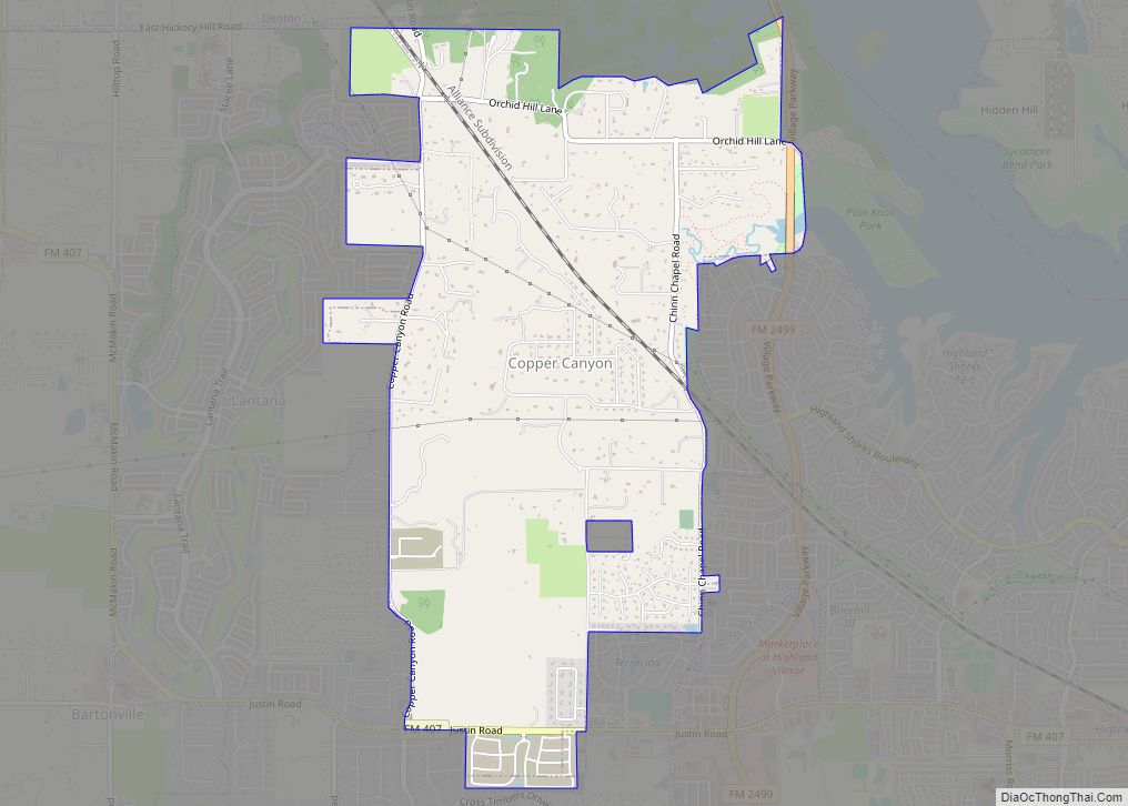
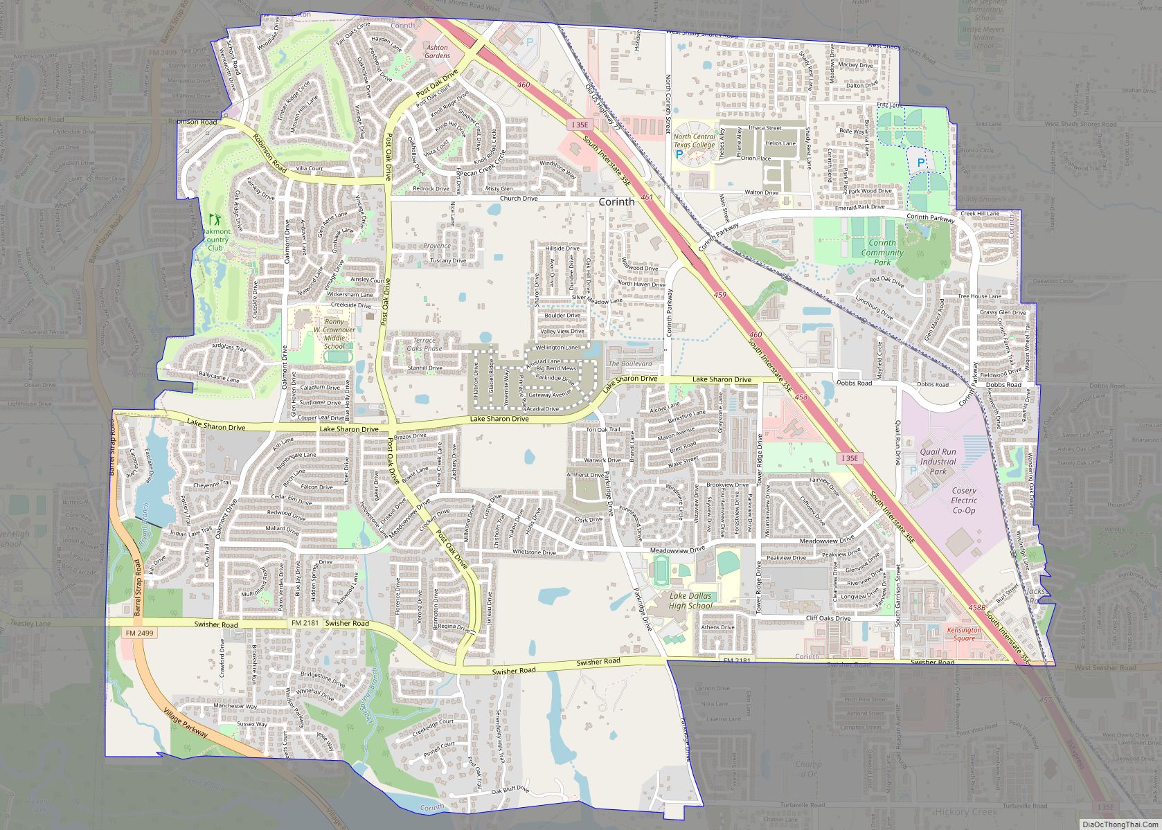
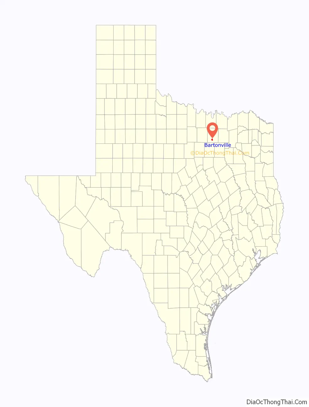
Online Interactive Map
Click on ![]() to view map in "full screen" mode.
to view map in "full screen" mode.
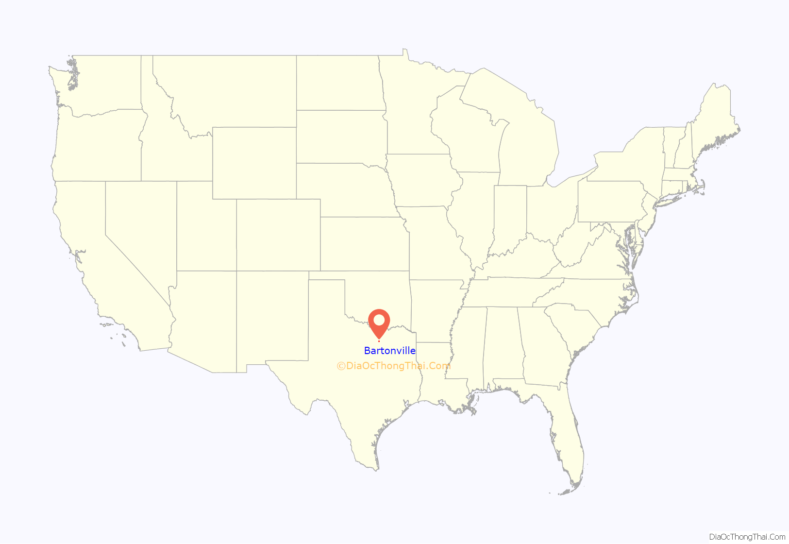
Bartonville location map. Where is Bartonville town?
History
Bartonville was originally part of the Chinn’s Chapel settlement, but then it decided to change to a place that was established in 1853 by Elisha Chinn. Chinn’s Chapel eventually became three small communities, with Bartonville being the lone remaining town. Bartonville was settled in 1878 and was named for T. Bent Barton. In 1886 a local post office was established, and by 1890 Bartonville had 25 residents, a general store, a gristmill, and a cotton gin, all owned by the Barton family. By 1896 Bartonville’s population was estimated at 100 and the town had three general stores. The post office was discontinued in 1906. Slow growth continued, and by 1930 Bartonville had a population of 300 and a business establishment.
In 1960, with cities such as Irving looking to expand northward, local residents feared annexation and Bartonville incorporated for the first time. The town then included Double Oak and Copper Canyon, as well as present-day Bartonville. Once the fear of annexation subsided a few years later, Bartonville citizens voted for disincorporation.
The present town of Bartonville was incorporated in 1973, and the town has continued to grow as part of the general development of the area north of Dallas/Fort Worth International Airport. Bartonville is adjacent to the master-planned Lantana residential development, which is currently not incorporated.
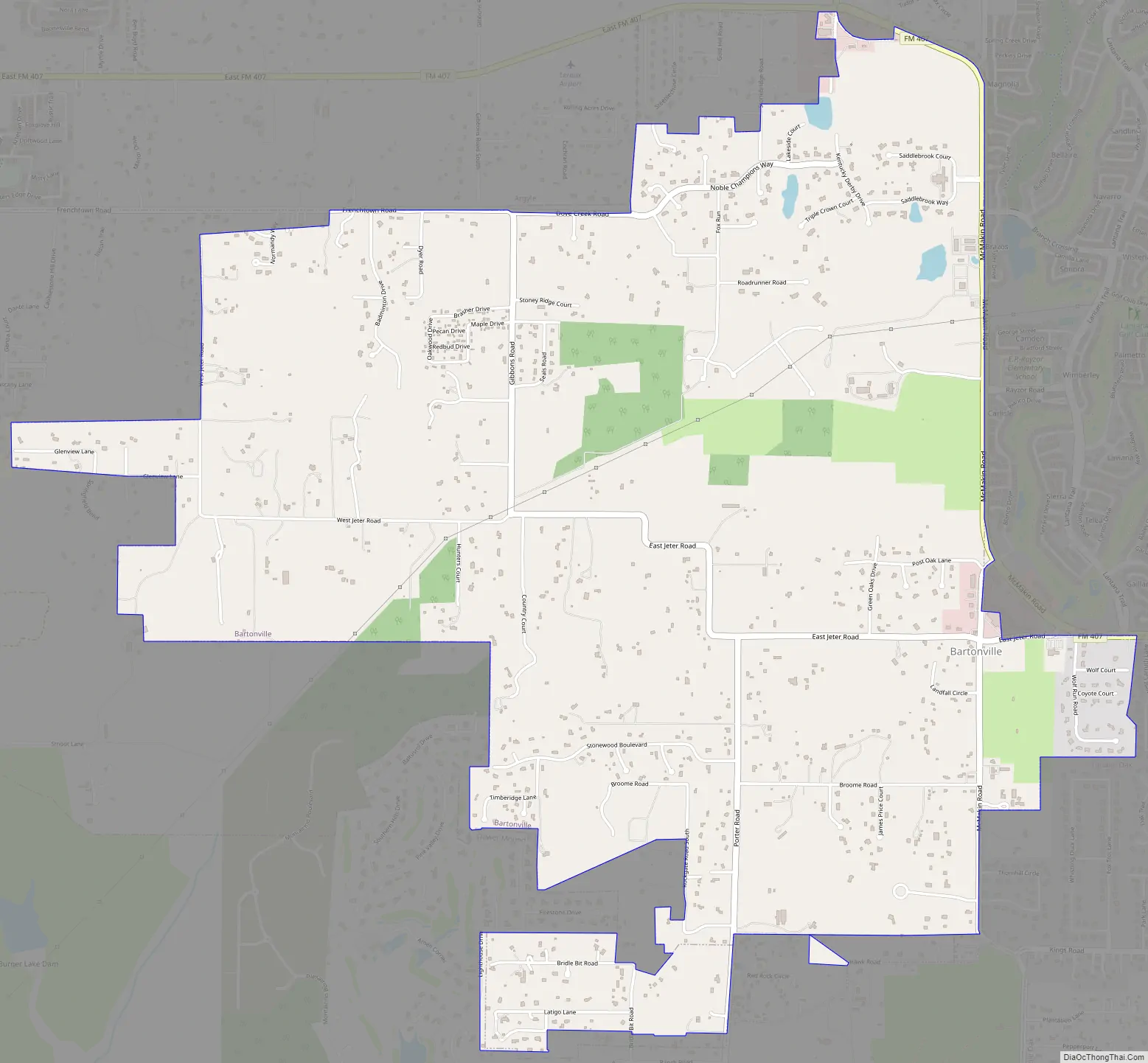
Bartonville Road Map
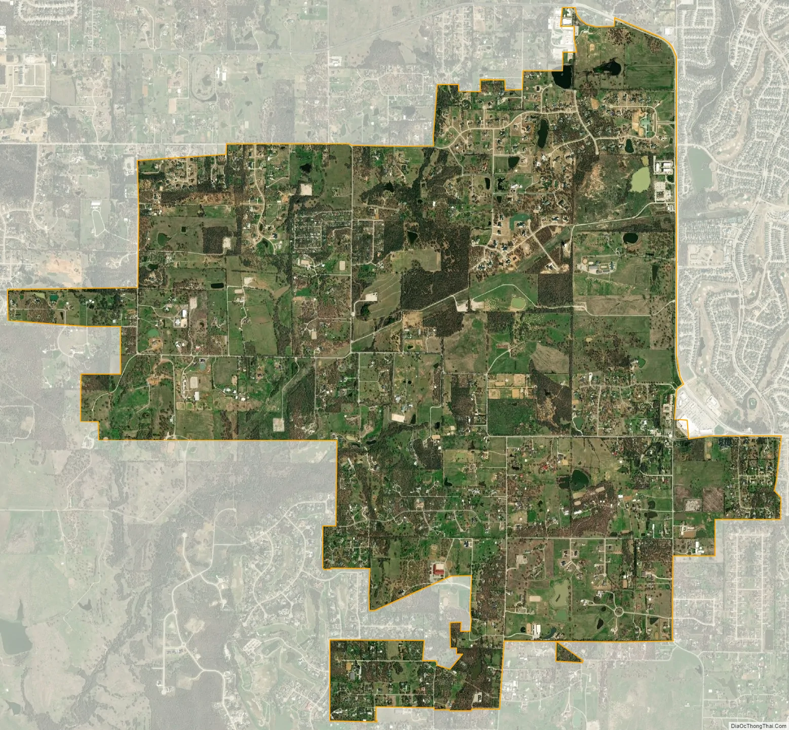
Bartonville city Satellite Map
Geography
Bartonville is located at 33°4′37″N 97°9′7″W / 33.07694°N 97.15194°W / 33.07694; -97.15194 (33.076965, –97.152027).
According to the United States Census Bureau, the town has a total area of 6.3 square miles (16.2 km), of which 6.2 square miles (16.1 km) is land and 0.04 square miles (0.1 km), or 0.83%, is water.
See also
Map of Texas State and its subdivision:- Anderson
- Andrews
- Angelina
- Aransas
- Archer
- Armstrong
- Atascosa
- Austin
- Bailey
- Bandera
- Bastrop
- Baylor
- Bee
- Bell
- Bexar
- Blanco
- Borden
- Bosque
- Bowie
- Brazoria
- Brazos
- Brewster
- Briscoe
- Brooks
- Brown
- Burleson
- Burnet
- Caldwell
- Calhoun
- Callahan
- Cameron
- Camp
- Carson
- Cass
- Castro
- Chambers
- Cherokee
- Childress
- Clay
- Cochran
- Coke
- Coleman
- Collin
- Collingsworth
- Colorado
- Comal
- Comanche
- Concho
- Cooke
- Coryell
- Cottle
- Crane
- Crockett
- Crosby
- Culberson
- Dallam
- Dallas
- Dawson
- Deaf Smith
- Delta
- Denton
- Dewitt
- Dickens
- Dimmit
- Donley
- Duval
- Eastland
- Ector
- Edwards
- El Paso
- Ellis
- Erath
- Falls
- Fannin
- Fayette
- Fisher
- Floyd
- Foard
- Fort Bend
- Franklin
- Freestone
- Frio
- Gaines
- Galveston
- Garza
- Gillespie
- Glasscock
- Goliad
- Gonzales
- Gray
- Grayson
- Gregg
- Grimes
- Guadalupe
- Hale
- Hall
- Hamilton
- Hansford
- Hardeman
- Hardin
- Harris
- Harrison
- Hartley
- Haskell
- Hays
- Hemphill
- Henderson
- Hidalgo
- Hill
- Hockley
- Hood
- Hopkins
- Houston
- Howard
- Hudspeth
- Hunt
- Hutchinson
- Irion
- Jack
- Jackson
- Jasper
- Jeff Davis
- Jefferson
- Jim Hogg
- Jim Wells
- Johnson
- Jones
- Karnes
- Kaufman
- Kendall
- Kenedy
- Kent
- Kerr
- Kimble
- King
- Kinney
- Kleberg
- Knox
- La Salle
- Lamar
- Lamb
- Lampasas
- Lavaca
- Lee
- Leon
- Liberty
- Limestone
- Lipscomb
- Live Oak
- Llano
- Loving
- Lubbock
- Lynn
- Madison
- Marion
- Martin
- Mason
- Matagorda
- Maverick
- McCulloch
- McLennan
- McMullen
- Medina
- Menard
- Midland
- Milam
- Mills
- Mitchell
- Montague
- Montgomery
- Moore
- Morris
- Motley
- Nacogdoches
- Navarro
- Newton
- Nolan
- Nueces
- Ochiltree
- Oldham
- Orange
- Palo Pinto
- Panola
- Parker
- Parmer
- Pecos
- Polk
- Potter
- Presidio
- Rains
- Randall
- Reagan
- Real
- Red River
- Reeves
- Refugio
- Roberts
- Robertson
- Rockwall
- Runnels
- Rusk
- Sabine
- San Augustine
- San Jacinto
- San Patricio
- San Saba
- Schleicher
- Scurry
- Shackelford
- Shelby
- Sherman
- Smith
- Somervell
- Starr
- Stephens
- Sterling
- Stonewall
- Sutton
- Swisher
- Tarrant
- Taylor
- Terrell
- Terry
- Throckmorton
- Titus
- Tom Green
- Travis
- Trinity
- Tyler
- Upshur
- Upton
- Uvalde
- Val Verde
- Van Zandt
- Victoria
- Walker
- Waller
- Ward
- Washington
- Webb
- Wharton
- Wheeler
- Wichita
- Wilbarger
- Willacy
- Williamson
- Wilson
- Winkler
- Wise
- Wood
- Yoakum
- Young
- Zapata
- Zavala
- Alabama
- Alaska
- Arizona
- Arkansas
- California
- Colorado
- Connecticut
- Delaware
- District of Columbia
- Florida
- Georgia
- Hawaii
- Idaho
- Illinois
- Indiana
- Iowa
- Kansas
- Kentucky
- Louisiana
- Maine
- Maryland
- Massachusetts
- Michigan
- Minnesota
- Mississippi
- Missouri
- Montana
- Nebraska
- Nevada
- New Hampshire
- New Jersey
- New Mexico
- New York
- North Carolina
- North Dakota
- Ohio
- Oklahoma
- Oregon
- Pennsylvania
- Rhode Island
- South Carolina
- South Dakota
- Tennessee
- Texas
- Utah
- Vermont
- Virginia
- Washington
- West Virginia
- Wisconsin
- Wyoming