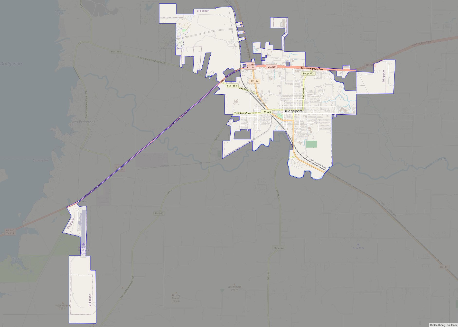
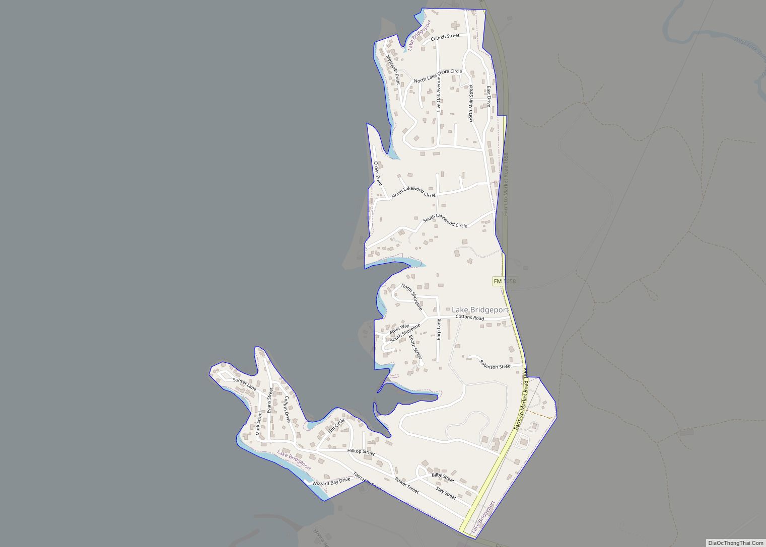
Bridgeport is a city in Wise County, Texas, United States. The population was 5,923 in 2020. In 2009, Bridgeport was named by the Texas Legislature as the Stagecoach Capital of Texas.
| Name: | Bridgeport city |
|---|---|
| LSAD Code: | 25 |
| LSAD Description: | city (suffix) |
| State: | Texas |
| County: | Wise County |
| Elevation: | 801 ft (244 m) |
| Total Area: | 7.85 sq mi (20.32 km²) |
| Land Area: | 7.84 sq mi (20.31 km²) |
| Water Area: | 0.01 sq mi (0.01 km²) |
| Total Population: | 5,923 |
| Population Density: | 750/sq mi (290/km²) |
| ZIP code: | 76426 |
| Area code: | 940 |
| FIPS code: | 4810264 |
| GNISfeature ID: | 1381191 |
| Website: | www.cityofbridgeport.net |
Online Interactive Map
Click on ![]() to view map in "full screen" mode.
to view map in "full screen" mode.
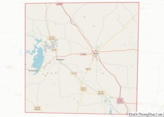
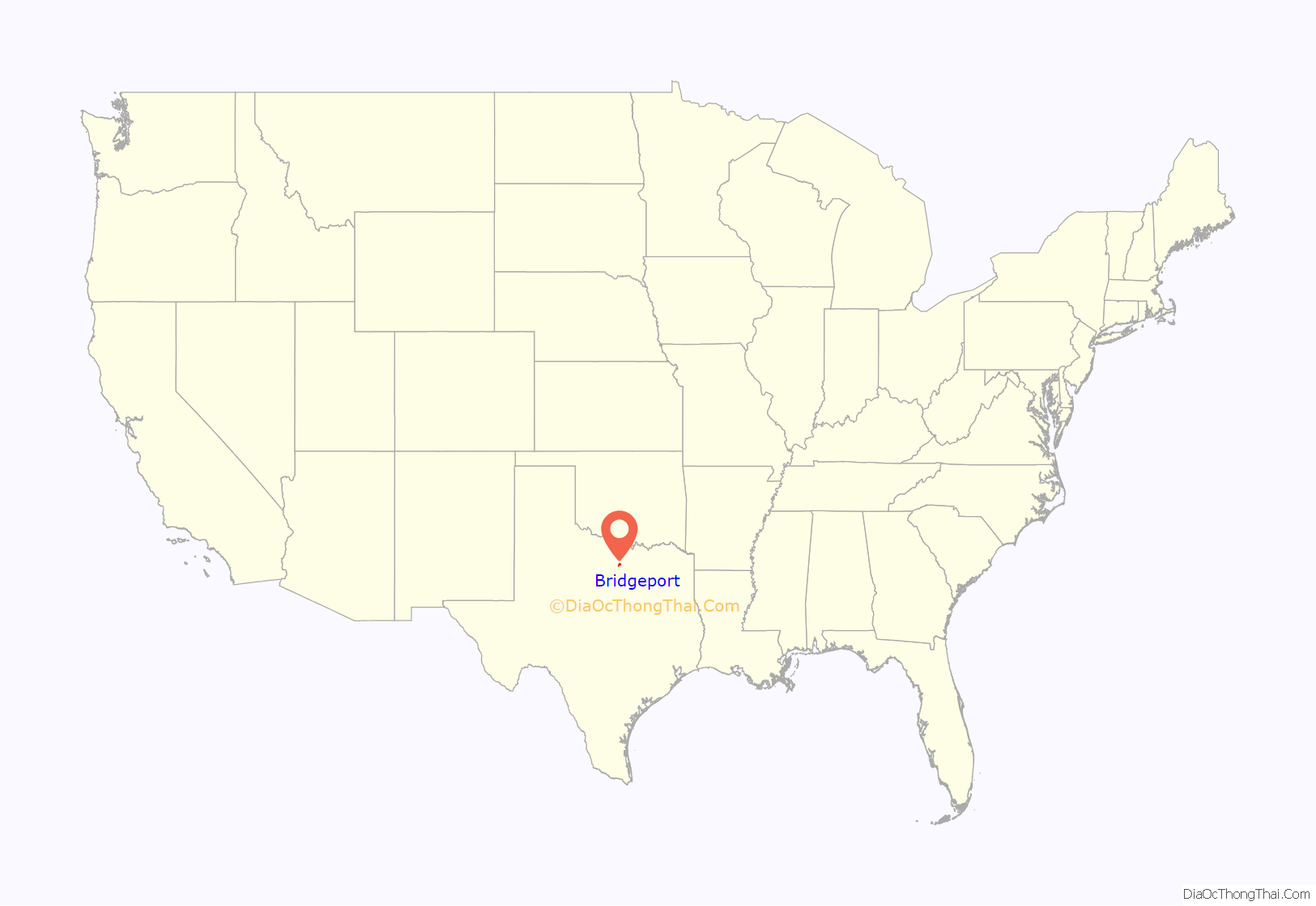
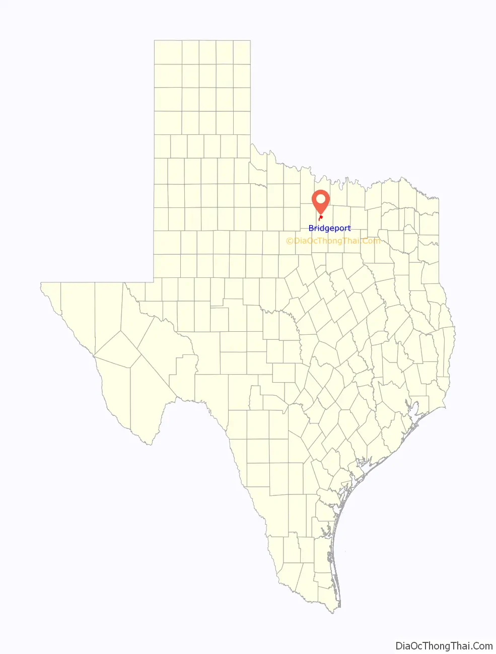
Bridgeport location map. Where is Bridgeport city?
History
Bridgeport’s history began in February 1860 when William H. Hunt was granted a charter from the West Fork Bridge Company to build a bridge across the West Fork of the Trinity River. The bridge was located approximately one mile southwest of the present townsite. A Texas State Historical Marker alongside Farm To Market Road 920 denotes the spot of the original bridge today.
The wooden bridge was used for a portion of the Butterfield Overland Mail stage route used for only a few months between August 1860 and March 1861. After the American Civil War began, the mail route was no longer used and the original wooden bridge was abandoned, deteriorated and collapsed into the river.
In 1873 a new iron bridge was built and a post office established, thus formally creating the city of Bridgeport, TX. Its future was assured in 1882 when Charles Cates discovered a vein of bituminous coal while drilling for water. The Wise County Coal Company was formed and was a leading producer of coal for the state until competition from natural gas and petroleum closed the coal mines in 1929.
In 1893 the Rock Island Railroad established a line east of the town, so the town moved approximately one mile east to its present site. In 1913 the town was incorporated. Gas and Oil production became a local industry prior to 1917. The 1920s census showed a town of 1,872. During the 1920s, limestone quarries that produced aggregate for road construction and a brick factory were established. In 1931, a dam was constructed approximately three miles west of town on the West Fork of the Trinity River, creating Lake Bridgeport. The lake was a local center for recreation and remains so today.
During the latter half of the 20th century, Bridgeport’s oil, gas, and limestone industries continued to flourish and the town became the second largest town in Wise County. These industries continue to be the local economic leaders.
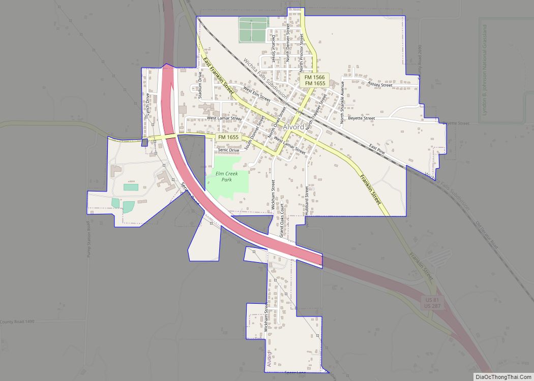
Bridgeport Road Map
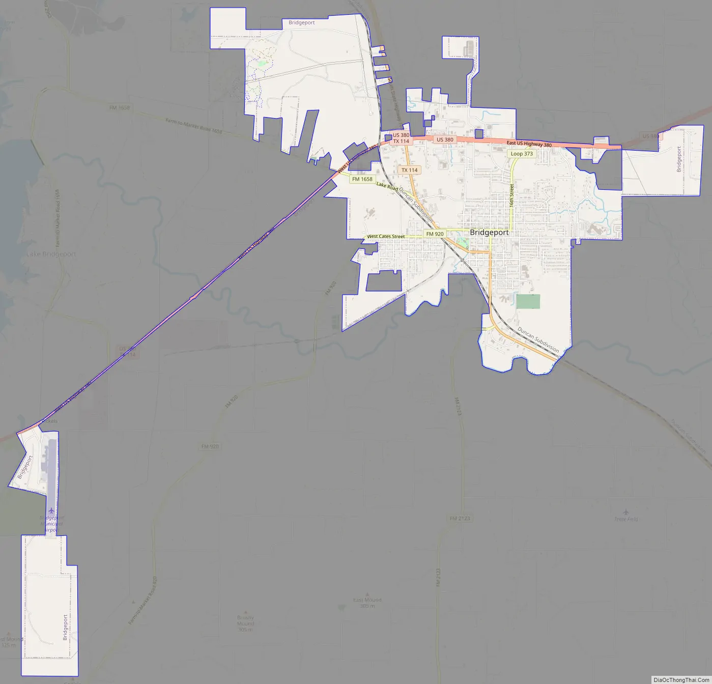
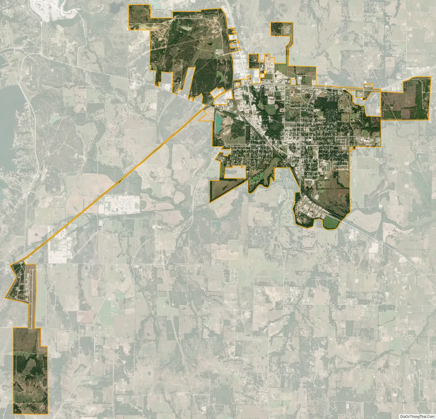
Bridgeport city Satellite Map
Geography
Bridgeport is located at 33°12′34″N 97°46′21″W / 33.20944°N 97.77250°W / 33.20944; -97.77250 (33.209319, –97.772440). According to the United States Census Bureau, Bridgeport has a total area of 7.9 square miles (20 km), all land.
See also
Map of Texas State and its subdivision:- Anderson
- Andrews
- Angelina
- Aransas
- Archer
- Armstrong
- Atascosa
- Austin
- Bailey
- Bandera
- Bastrop
- Baylor
- Bee
- Bell
- Bexar
- Blanco
- Borden
- Bosque
- Bowie
- Brazoria
- Brazos
- Brewster
- Briscoe
- Brooks
- Brown
- Burleson
- Burnet
- Caldwell
- Calhoun
- Callahan
- Cameron
- Camp
- Carson
- Cass
- Castro
- Chambers
- Cherokee
- Childress
- Clay
- Cochran
- Coke
- Coleman
- Collin
- Collingsworth
- Colorado
- Comal
- Comanche
- Concho
- Cooke
- Coryell
- Cottle
- Crane
- Crockett
- Crosby
- Culberson
- Dallam
- Dallas
- Dawson
- Deaf Smith
- Delta
- Denton
- Dewitt
- Dickens
- Dimmit
- Donley
- Duval
- Eastland
- Ector
- Edwards
- El Paso
- Ellis
- Erath
- Falls
- Fannin
- Fayette
- Fisher
- Floyd
- Foard
- Fort Bend
- Franklin
- Freestone
- Frio
- Gaines
- Galveston
- Garza
- Gillespie
- Glasscock
- Goliad
- Gonzales
- Gray
- Grayson
- Gregg
- Grimes
- Guadalupe
- Hale
- Hall
- Hamilton
- Hansford
- Hardeman
- Hardin
- Harris
- Harrison
- Hartley
- Haskell
- Hays
- Hemphill
- Henderson
- Hidalgo
- Hill
- Hockley
- Hood
- Hopkins
- Houston
- Howard
- Hudspeth
- Hunt
- Hutchinson
- Irion
- Jack
- Jackson
- Jasper
- Jeff Davis
- Jefferson
- Jim Hogg
- Jim Wells
- Johnson
- Jones
- Karnes
- Kaufman
- Kendall
- Kenedy
- Kent
- Kerr
- Kimble
- King
- Kinney
- Kleberg
- Knox
- La Salle
- Lamar
- Lamb
- Lampasas
- Lavaca
- Lee
- Leon
- Liberty
- Limestone
- Lipscomb
- Live Oak
- Llano
- Loving
- Lubbock
- Lynn
- Madison
- Marion
- Martin
- Mason
- Matagorda
- Maverick
- McCulloch
- McLennan
- McMullen
- Medina
- Menard
- Midland
- Milam
- Mills
- Mitchell
- Montague
- Montgomery
- Moore
- Morris
- Motley
- Nacogdoches
- Navarro
- Newton
- Nolan
- Nueces
- Ochiltree
- Oldham
- Orange
- Palo Pinto
- Panola
- Parker
- Parmer
- Pecos
- Polk
- Potter
- Presidio
- Rains
- Randall
- Reagan
- Real
- Red River
- Reeves
- Refugio
- Roberts
- Robertson
- Rockwall
- Runnels
- Rusk
- Sabine
- San Augustine
- San Jacinto
- San Patricio
- San Saba
- Schleicher
- Scurry
- Shackelford
- Shelby
- Sherman
- Smith
- Somervell
- Starr
- Stephens
- Sterling
- Stonewall
- Sutton
- Swisher
- Tarrant
- Taylor
- Terrell
- Terry
- Throckmorton
- Titus
- Tom Green
- Travis
- Trinity
- Tyler
- Upshur
- Upton
- Uvalde
- Val Verde
- Van Zandt
- Victoria
- Walker
- Waller
- Ward
- Washington
- Webb
- Wharton
- Wheeler
- Wichita
- Wilbarger
- Willacy
- Williamson
- Wilson
- Winkler
- Wise
- Wood
- Yoakum
- Young
- Zapata
- Zavala
- Alabama
- Alaska
- Arizona
- Arkansas
- California
- Colorado
- Connecticut
- Delaware
- District of Columbia
- Florida
- Georgia
- Hawaii
- Idaho
- Illinois
- Indiana
- Iowa
- Kansas
- Kentucky
- Louisiana
- Maine
- Maryland
- Massachusetts
- Michigan
- Minnesota
- Mississippi
- Missouri
- Montana
- Nebraska
- Nevada
- New Hampshire
- New Jersey
- New Mexico
- New York
- North Carolina
- North Dakota
- Ohio
- Oklahoma
- Oregon
- Pennsylvania
- Rhode Island
- South Carolina
- South Dakota
- Tennessee
- Texas
- Utah
- Vermont
- Virginia
- Washington
- West Virginia
- Wisconsin
- Wyoming