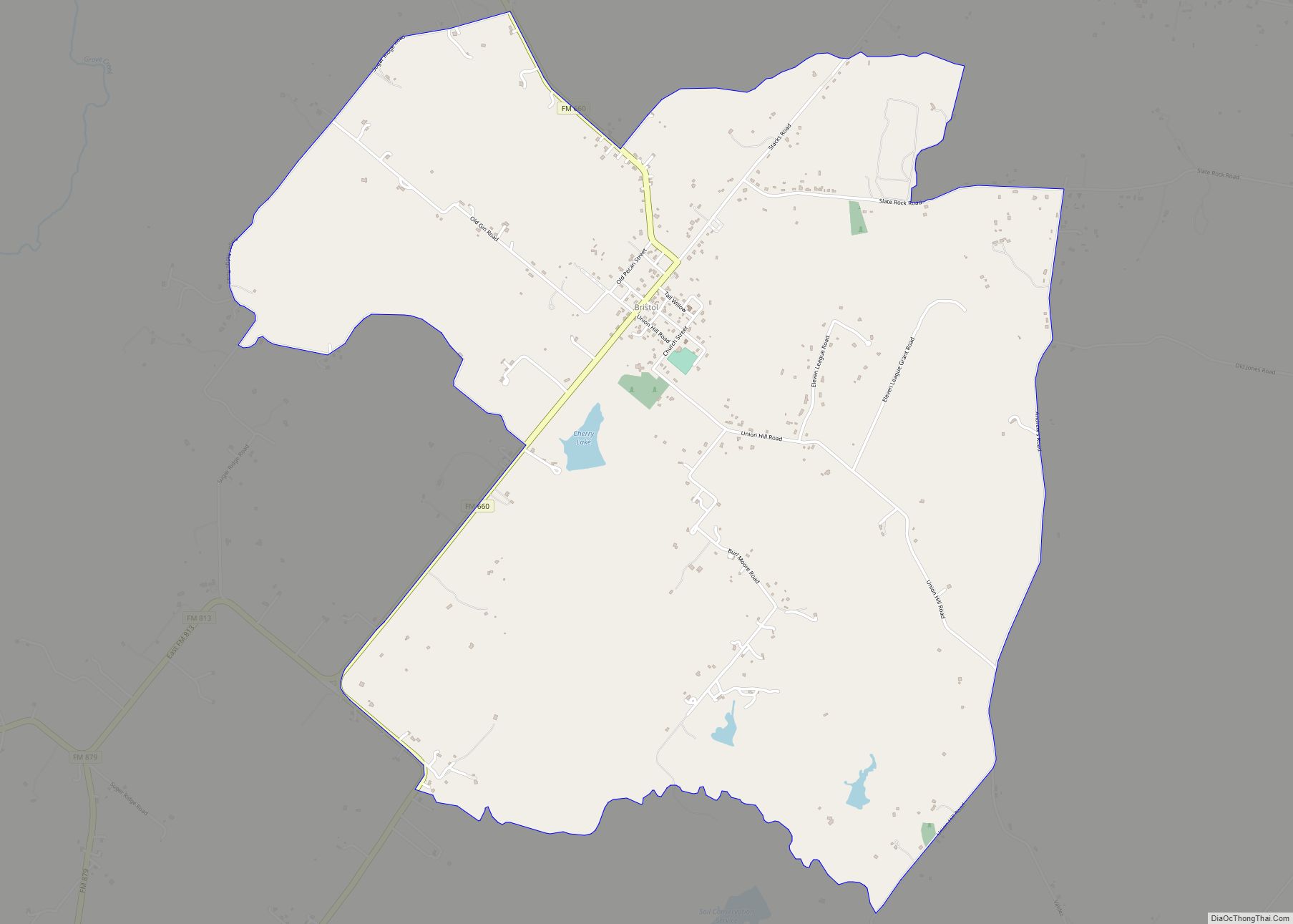
Bristol is a census-designated place in Ellis County, Texas, United States. The population was 668 at the 2010 census.
| Name: | Bristol CDP |
|---|---|
| LSAD Code: | 57 |
| LSAD Description: | CDP (suffix) |
| State: | Texas |
| County: | Ellis County |
| Elevation: | 486 ft (148 m) |
| Total Area: | 5.88 sq mi (15.2 km²) |
| Land Area: | 5.78 sq mi (15.0 km²) |
| Water Area: | 0.10 sq mi (0.3 km²) |
| Total Population: | 668 |
| Population Density: | 110/sq mi (44/km²) |
| ZIP code: | 75119 |
| Area code: | 972 |
| FIPS code: | 4810336 |
| GNISfeature ID: | 2586912 |
Online Interactive Map
Click on ![]() to view map in "full screen" mode.
to view map in "full screen" mode.
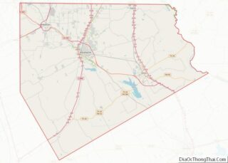
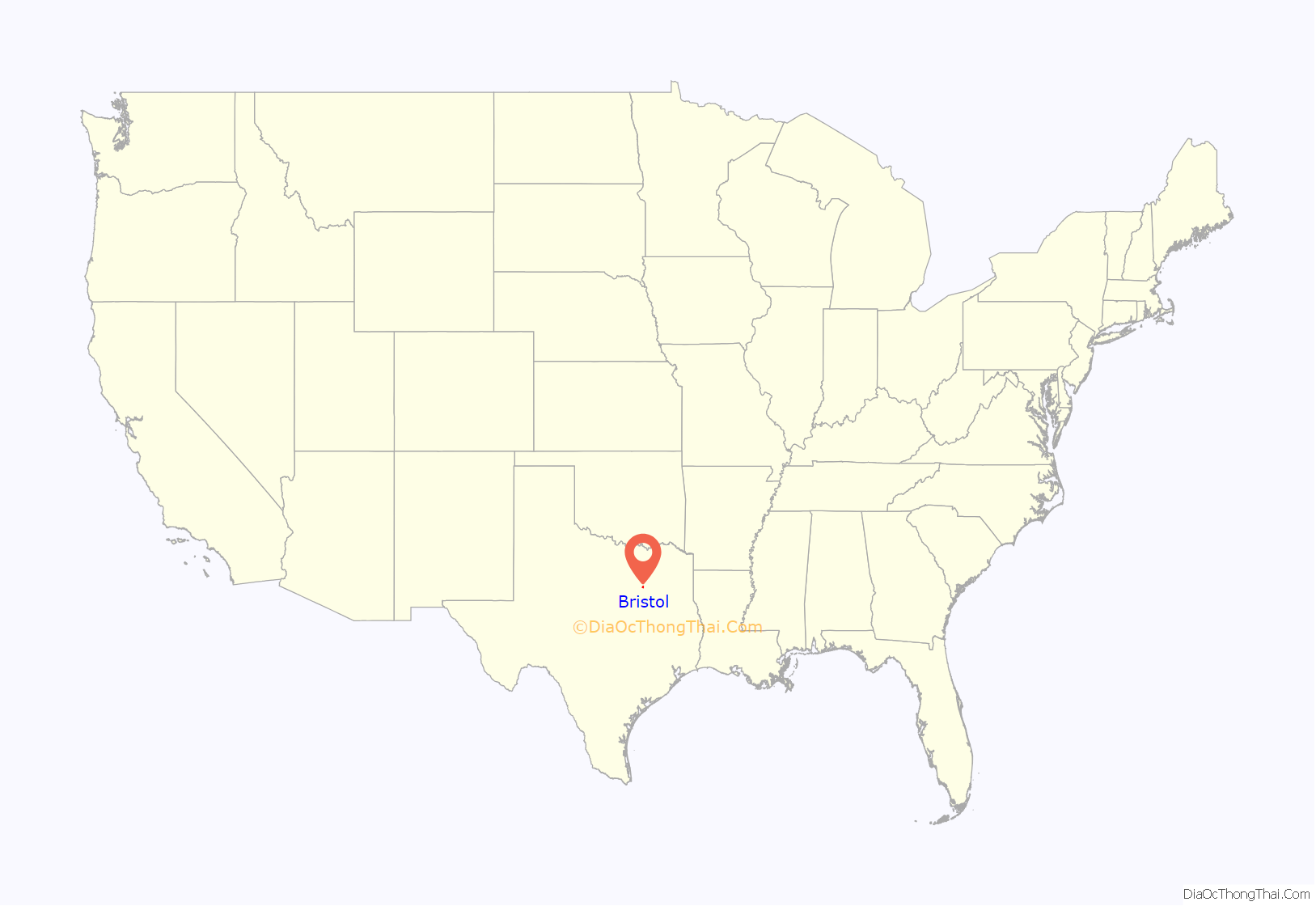
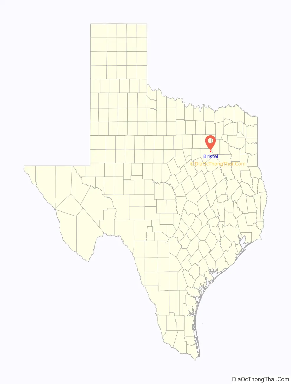
Bristol location map. Where is Bristol CDP?
History
Settlement of the area dates back to the 1840s by Joshua Brock. The community was first called Brockville and a post office operated under that name from 1854 to 1869. The name Brockville was due to Joshua Brock who was the town’s first postmaster general. Later, the community was unofficially known as Heelstring. The town itself was located on the banks of the Trinity River. This area is commonly referred to as the, “River Bottoms”, by local residents. The town was destroyed by a fire in the late 1800’s and relocated to the current location.
Years later, Captain Steven Mills came to the area and opened a store. Having done business in Bristol, England, he named the store Bristol and the community eventually adopted the name. By 1890, Bristol had grown into a farming community of approximately 200 residents. The population peaked at around 300 in the early 1930s and declined thereafter. The community continues to serve as a supply and service center for area farmers and local beef ranches.
In 2010, Bristol was defined as a census-designated place (CDP) by the U.S. Census Bureau. The boundaries include the original community of Bristol and surrounding areas.
Today the community holds several events including the monthly Bristol Opry, 4th of July Celebration, Easter Bunny Breakfast, and Thanksgiving Dinner.
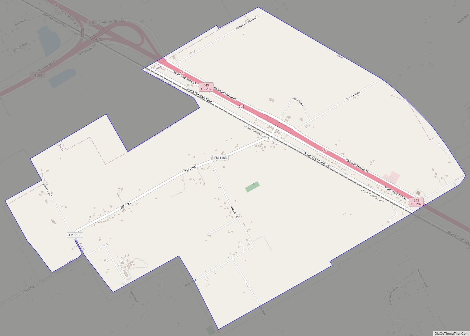
Bristol Road Map
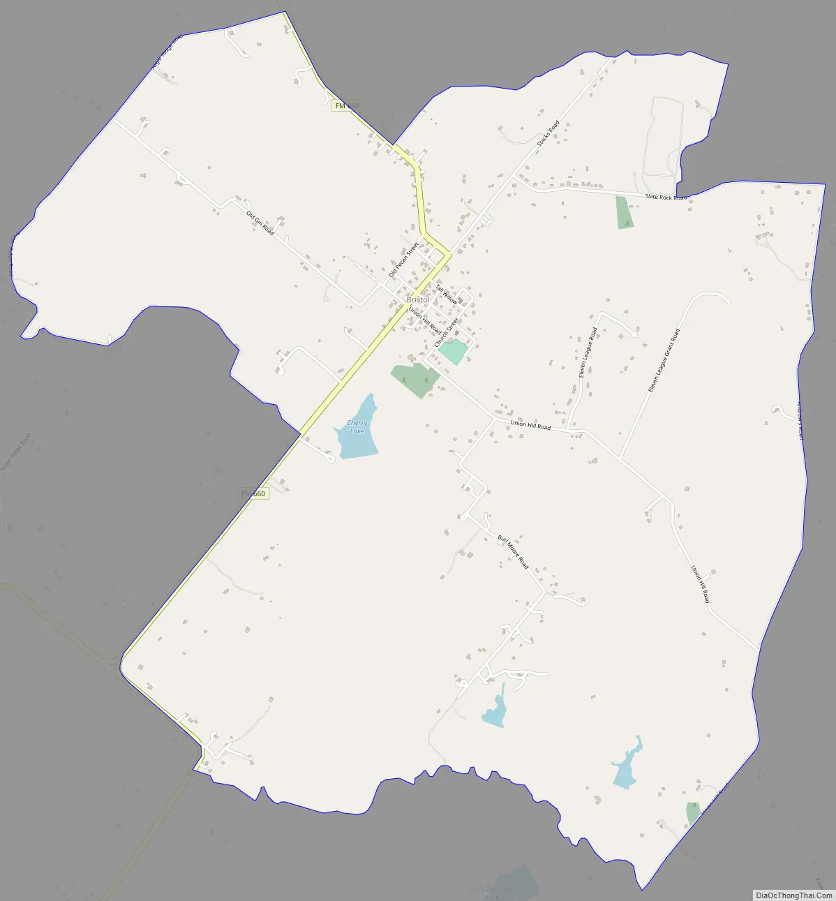
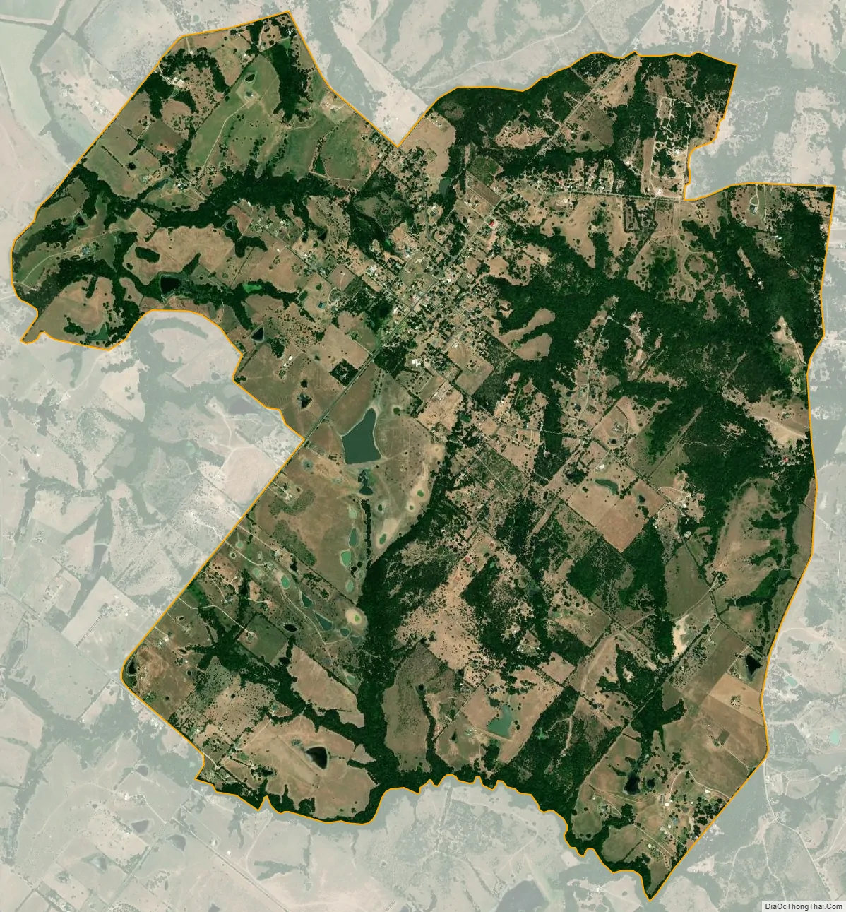
Bristol city Satellite Map
Geography
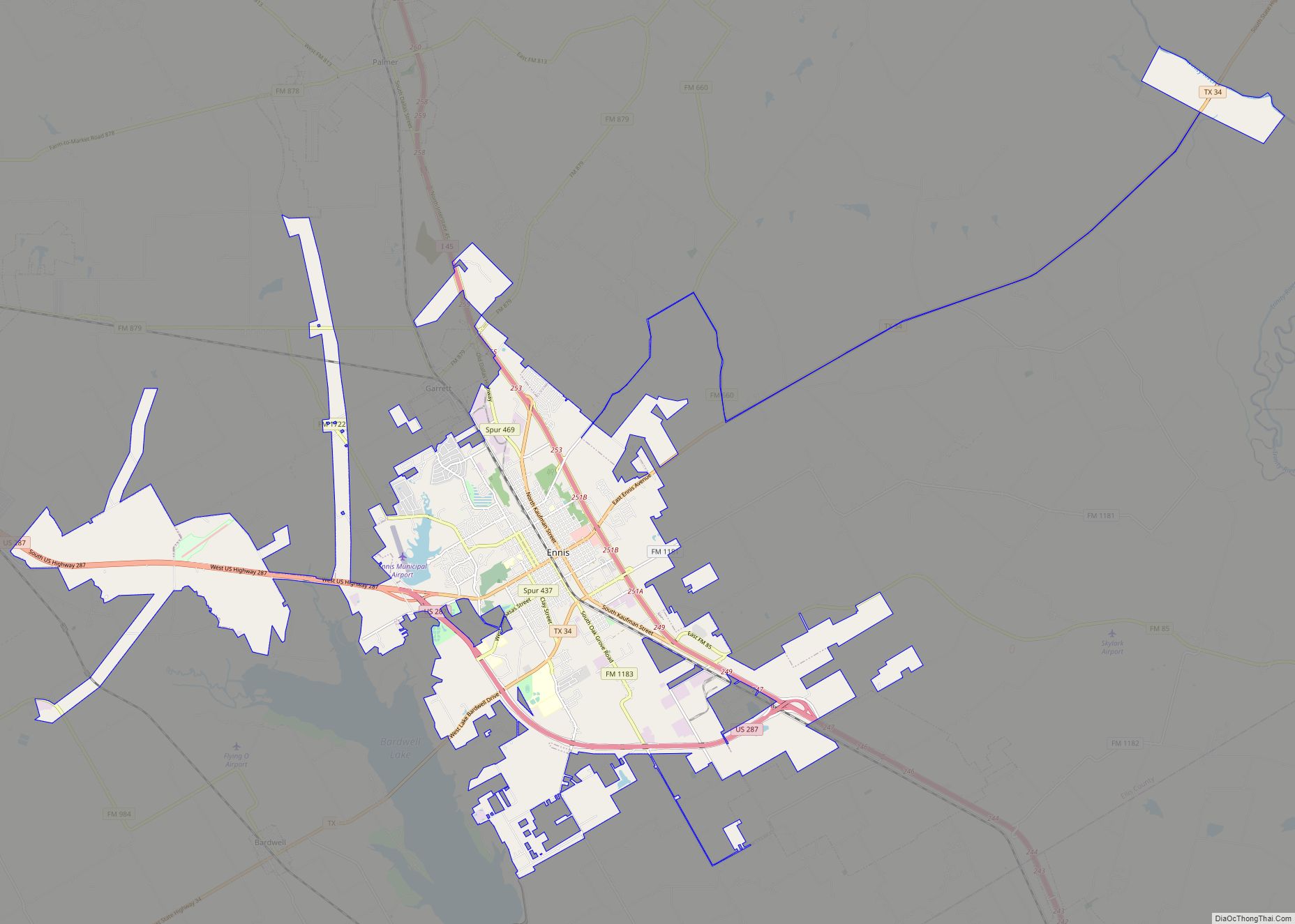
Bristol is located along Farm to Market Road 660 in northeastern Ellis County, approximately six miles northeast of Palmer and eighteen miles northeast of Waxahachie. It is part of the Dallas–Fort Worth metroplex.
According to the United States Census Bureau, the CDP has a total area of 5.88 square miles (15.2 km), of which 5.78 square miles (15.0 km) is land and 0.10 square miles (0.26 km) is water. From highway 660 it connects Bristol to Palmer, and Union Hill Rd connects Bristol to Ennis.
See also
Map of Texas State and its subdivision:- Anderson
- Andrews
- Angelina
- Aransas
- Archer
- Armstrong
- Atascosa
- Austin
- Bailey
- Bandera
- Bastrop
- Baylor
- Bee
- Bell
- Bexar
- Blanco
- Borden
- Bosque
- Bowie
- Brazoria
- Brazos
- Brewster
- Briscoe
- Brooks
- Brown
- Burleson
- Burnet
- Caldwell
- Calhoun
- Callahan
- Cameron
- Camp
- Carson
- Cass
- Castro
- Chambers
- Cherokee
- Childress
- Clay
- Cochran
- Coke
- Coleman
- Collin
- Collingsworth
- Colorado
- Comal
- Comanche
- Concho
- Cooke
- Coryell
- Cottle
- Crane
- Crockett
- Crosby
- Culberson
- Dallam
- Dallas
- Dawson
- Deaf Smith
- Delta
- Denton
- Dewitt
- Dickens
- Dimmit
- Donley
- Duval
- Eastland
- Ector
- Edwards
- El Paso
- Ellis
- Erath
- Falls
- Fannin
- Fayette
- Fisher
- Floyd
- Foard
- Fort Bend
- Franklin
- Freestone
- Frio
- Gaines
- Galveston
- Garza
- Gillespie
- Glasscock
- Goliad
- Gonzales
- Gray
- Grayson
- Gregg
- Grimes
- Guadalupe
- Hale
- Hall
- Hamilton
- Hansford
- Hardeman
- Hardin
- Harris
- Harrison
- Hartley
- Haskell
- Hays
- Hemphill
- Henderson
- Hidalgo
- Hill
- Hockley
- Hood
- Hopkins
- Houston
- Howard
- Hudspeth
- Hunt
- Hutchinson
- Irion
- Jack
- Jackson
- Jasper
- Jeff Davis
- Jefferson
- Jim Hogg
- Jim Wells
- Johnson
- Jones
- Karnes
- Kaufman
- Kendall
- Kenedy
- Kent
- Kerr
- Kimble
- King
- Kinney
- Kleberg
- Knox
- La Salle
- Lamar
- Lamb
- Lampasas
- Lavaca
- Lee
- Leon
- Liberty
- Limestone
- Lipscomb
- Live Oak
- Llano
- Loving
- Lubbock
- Lynn
- Madison
- Marion
- Martin
- Mason
- Matagorda
- Maverick
- McCulloch
- McLennan
- McMullen
- Medina
- Menard
- Midland
- Milam
- Mills
- Mitchell
- Montague
- Montgomery
- Moore
- Morris
- Motley
- Nacogdoches
- Navarro
- Newton
- Nolan
- Nueces
- Ochiltree
- Oldham
- Orange
- Palo Pinto
- Panola
- Parker
- Parmer
- Pecos
- Polk
- Potter
- Presidio
- Rains
- Randall
- Reagan
- Real
- Red River
- Reeves
- Refugio
- Roberts
- Robertson
- Rockwall
- Runnels
- Rusk
- Sabine
- San Augustine
- San Jacinto
- San Patricio
- San Saba
- Schleicher
- Scurry
- Shackelford
- Shelby
- Sherman
- Smith
- Somervell
- Starr
- Stephens
- Sterling
- Stonewall
- Sutton
- Swisher
- Tarrant
- Taylor
- Terrell
- Terry
- Throckmorton
- Titus
- Tom Green
- Travis
- Trinity
- Tyler
- Upshur
- Upton
- Uvalde
- Val Verde
- Van Zandt
- Victoria
- Walker
- Waller
- Ward
- Washington
- Webb
- Wharton
- Wheeler
- Wichita
- Wilbarger
- Willacy
- Williamson
- Wilson
- Winkler
- Wise
- Wood
- Yoakum
- Young
- Zapata
- Zavala
- Alabama
- Alaska
- Arizona
- Arkansas
- California
- Colorado
- Connecticut
- Delaware
- District of Columbia
- Florida
- Georgia
- Hawaii
- Idaho
- Illinois
- Indiana
- Iowa
- Kansas
- Kentucky
- Louisiana
- Maine
- Maryland
- Massachusetts
- Michigan
- Minnesota
- Mississippi
- Missouri
- Montana
- Nebraska
- Nevada
- New Hampshire
- New Jersey
- New Mexico
- New York
- North Carolina
- North Dakota
- Ohio
- Oklahoma
- Oregon
- Pennsylvania
- Rhode Island
- South Carolina
- South Dakota
- Tennessee
- Texas
- Utah
- Vermont
- Virginia
- Washington
- West Virginia
- Wisconsin
- Wyoming