Bunker Hill Village is a city in Harris County, Texas, United States, part of Houston–The Woodlands–Sugar Land metropolitan area. The population was 3,822 at the 2020 census. It is part of a collection of upscale residential communities in west Houston known as the Memorial Villages. As of 2010, Bunker Hill Village was the 6th wealthiest place in Texas. Also, Bunker Hill Village is one of Forbes top 25 places to retire rich.
While Bunker Hill Village is an independent municipality and not part of the City of Houston, the United States Postal Service uses “Houston” for all Bunker Hill Village addresses.
| Name: | Bunker Hill Village city |
|---|---|
| LSAD Code: | 25 |
| LSAD Description: | city (suffix) |
| State: | Texas |
| County: | Harris County |
| Elevation: | 82 ft (25 m) |
| Total Area: | 1.44 sq mi (3.73 km²) |
| Land Area: | 1.44 sq mi (3.73 km²) |
| Water Area: | 0.00 sq mi (0.00 km²) |
| Total Population: | 3,822 |
| Population Density: | 2,728.85/sq mi (1,053.72/km²) |
| ZIP code: | 77024 |
| Area code: | 713 |
| FIPS code: | 4811300 |
| GNISfeature ID: | 1372828 |
| Website: | bunkerhilltx.gov |
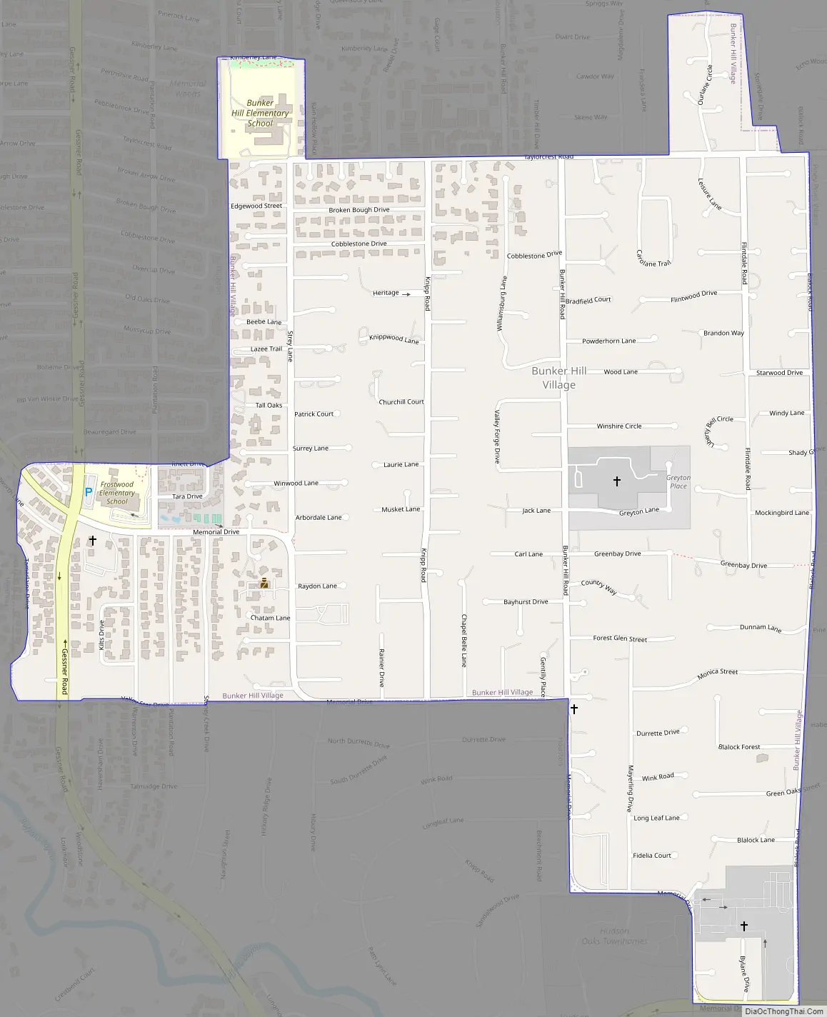
Online Interactive Map
Click on ![]() to view map in "full screen" mode.
to view map in "full screen" mode.
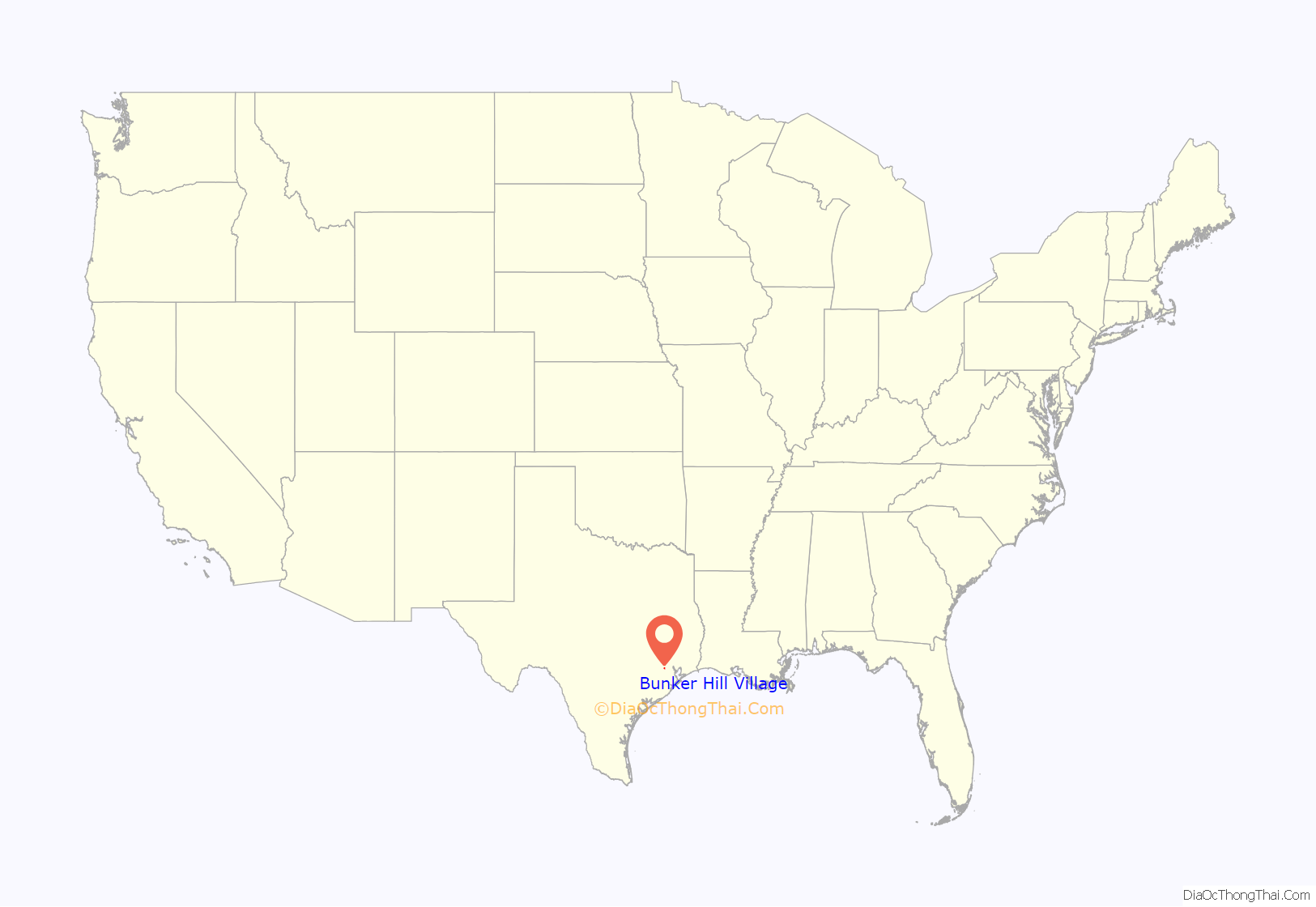
Bunker Hill Village location map. Where is Bunker Hill Village city?
History
Prior to the city’s incorporation, German farmers settled the area and built sawmills to process local lumber. A 1936 county highway map states that the area had scattered residences near one of its sawmills.
In the mid-1950s, effort to form a Spring Branch municipality failed. The city incorporated in December 1954 with a mayor-council government. Because of the 1954 incorporation, Houston did not incorporate Bunker Hill Village’s territory into its city limits, while Houston annexed surrounding areas that were unincorporated. In 1962 the city had 2,216 people. By 1966 Bunker Hill Village became affluent and had two public schools and two churches. In 1981 4,442 people lived in Bunker Hill Village.
In 2008, Forbes.com selected Bunker Hill Village along with Sugar Land and Hunters Creek Village as one of the three Houston-area “Top Suburbs to Live Well” of Houston.
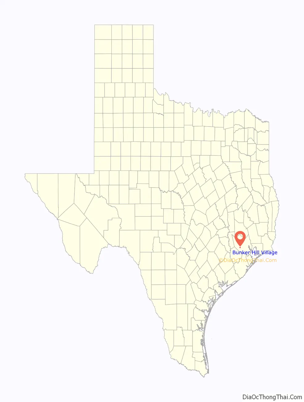
Bunker Hill Village Road Map
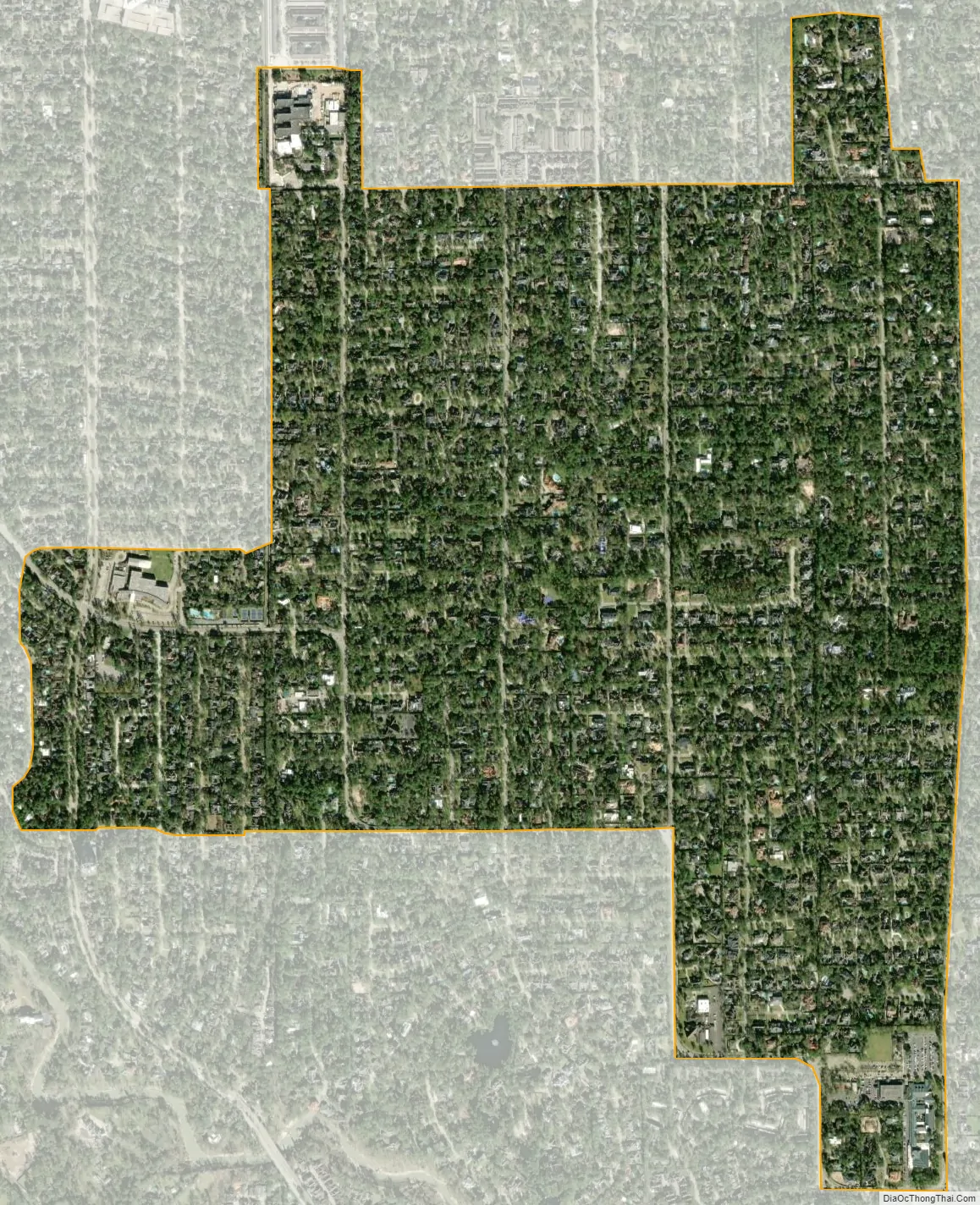
Bunker Hill Village city Satellite Map
Geography
Bunker Hill Village is located at 29°46′1″N 95°32′9″W / 29.76694°N 95.53583°W / 29.76694; -95.53583 (29.767058, –95.535969).
According to the United States Census Bureau, the city has a total area of 1.5 square miles (3.9 km), all of it land.
See also
Map of Texas State and its subdivision:- Anderson
- Andrews
- Angelina
- Aransas
- Archer
- Armstrong
- Atascosa
- Austin
- Bailey
- Bandera
- Bastrop
- Baylor
- Bee
- Bell
- Bexar
- Blanco
- Borden
- Bosque
- Bowie
- Brazoria
- Brazos
- Brewster
- Briscoe
- Brooks
- Brown
- Burleson
- Burnet
- Caldwell
- Calhoun
- Callahan
- Cameron
- Camp
- Carson
- Cass
- Castro
- Chambers
- Cherokee
- Childress
- Clay
- Cochran
- Coke
- Coleman
- Collin
- Collingsworth
- Colorado
- Comal
- Comanche
- Concho
- Cooke
- Coryell
- Cottle
- Crane
- Crockett
- Crosby
- Culberson
- Dallam
- Dallas
- Dawson
- Deaf Smith
- Delta
- Denton
- Dewitt
- Dickens
- Dimmit
- Donley
- Duval
- Eastland
- Ector
- Edwards
- El Paso
- Ellis
- Erath
- Falls
- Fannin
- Fayette
- Fisher
- Floyd
- Foard
- Fort Bend
- Franklin
- Freestone
- Frio
- Gaines
- Galveston
- Garza
- Gillespie
- Glasscock
- Goliad
- Gonzales
- Gray
- Grayson
- Gregg
- Grimes
- Guadalupe
- Hale
- Hall
- Hamilton
- Hansford
- Hardeman
- Hardin
- Harris
- Harrison
- Hartley
- Haskell
- Hays
- Hemphill
- Henderson
- Hidalgo
- Hill
- Hockley
- Hood
- Hopkins
- Houston
- Howard
- Hudspeth
- Hunt
- Hutchinson
- Irion
- Jack
- Jackson
- Jasper
- Jeff Davis
- Jefferson
- Jim Hogg
- Jim Wells
- Johnson
- Jones
- Karnes
- Kaufman
- Kendall
- Kenedy
- Kent
- Kerr
- Kimble
- King
- Kinney
- Kleberg
- Knox
- La Salle
- Lamar
- Lamb
- Lampasas
- Lavaca
- Lee
- Leon
- Liberty
- Limestone
- Lipscomb
- Live Oak
- Llano
- Loving
- Lubbock
- Lynn
- Madison
- Marion
- Martin
- Mason
- Matagorda
- Maverick
- McCulloch
- McLennan
- McMullen
- Medina
- Menard
- Midland
- Milam
- Mills
- Mitchell
- Montague
- Montgomery
- Moore
- Morris
- Motley
- Nacogdoches
- Navarro
- Newton
- Nolan
- Nueces
- Ochiltree
- Oldham
- Orange
- Palo Pinto
- Panola
- Parker
- Parmer
- Pecos
- Polk
- Potter
- Presidio
- Rains
- Randall
- Reagan
- Real
- Red River
- Reeves
- Refugio
- Roberts
- Robertson
- Rockwall
- Runnels
- Rusk
- Sabine
- San Augustine
- San Jacinto
- San Patricio
- San Saba
- Schleicher
- Scurry
- Shackelford
- Shelby
- Sherman
- Smith
- Somervell
- Starr
- Stephens
- Sterling
- Stonewall
- Sutton
- Swisher
- Tarrant
- Taylor
- Terrell
- Terry
- Throckmorton
- Titus
- Tom Green
- Travis
- Trinity
- Tyler
- Upshur
- Upton
- Uvalde
- Val Verde
- Van Zandt
- Victoria
- Walker
- Waller
- Ward
- Washington
- Webb
- Wharton
- Wheeler
- Wichita
- Wilbarger
- Willacy
- Williamson
- Wilson
- Winkler
- Wise
- Wood
- Yoakum
- Young
- Zapata
- Zavala
- Alabama
- Alaska
- Arizona
- Arkansas
- California
- Colorado
- Connecticut
- Delaware
- District of Columbia
- Florida
- Georgia
- Hawaii
- Idaho
- Illinois
- Indiana
- Iowa
- Kansas
- Kentucky
- Louisiana
- Maine
- Maryland
- Massachusetts
- Michigan
- Minnesota
- Mississippi
- Missouri
- Montana
- Nebraska
- Nevada
- New Hampshire
- New Jersey
- New Mexico
- New York
- North Carolina
- North Dakota
- Ohio
- Oklahoma
- Oregon
- Pennsylvania
- Rhode Island
- South Carolina
- South Dakota
- Tennessee
- Texas
- Utah
- Vermont
- Virginia
- Washington
- West Virginia
- Wisconsin
- Wyoming


