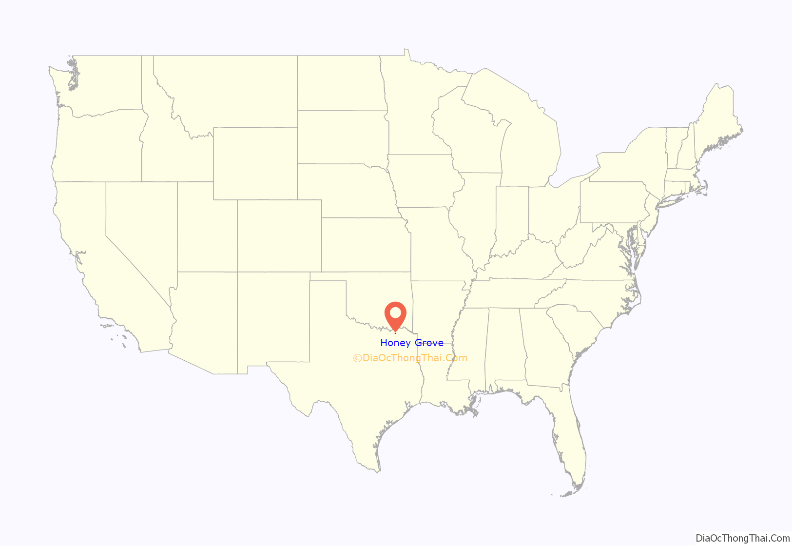
Honey Grove is a city in Fannin County, Texas, United States. Honey Grove bills itself as “The Sweetest Town in Texas”. The population was 1,668 at the 2010 census.
| Name: | Honey Grove city |
|---|---|
| LSAD Code: | 25 |
| LSAD Description: | city (suffix) |
| State: | Texas |
| County: | Fannin County |
| Elevation: | 673 ft (205 m) |
| Total Area: | 3.02 sq mi (7.83 km²) |
| Land Area: | 2.98 sq mi (7.72 km²) |
| Water Area: | 0.04 sq mi (0.11 km²) |
| Total Population: | 1,668 |
| Population Density: | 582.30/sq mi (224.86/km²) |
| ZIP code: | 75446 |
| Area code: | 903 |
| FIPS code: | 4834700 |
| GNISfeature ID: | 1359507 |
| Website: | cityofhoneygrove.org |
Online Interactive Map
Click on ![]() to view map in "full screen" mode.
to view map in "full screen" mode.
Honey Grove location map. Where is Honey Grove city?
History
David Crockett discovered the area of Honey Grove when he camped there on his way to join the Texas Army at San Antonio in 1836. Crockett sent many letters back to Tennessee, telling of an area with an abundance of honey-filled trees, hence the town’s name. In 1837, Samuel Erwin became the first settler of the place. B. S. Walcott contributed much to the town’s development, by planning the city’s landscape and later on by selling building lots. In 1873, Honey Grove was officially established.
Samuel Erwin and Davy Crockett, old friends from Kentucky, were instrumental in the founding of Honey Grove. Samuel Augustus Erwin has a large gravestone marker in Honey Grove, stating: “Virginia-born Samuel Erwin was married in 1819 in Tennessee to Sally Rodgers Crisp (1795–1860), in a ceremony performed by local magistrate David Crockett. First settler in the Honey Grove area, Erwin arrived here in 1837 and surveyed land grants for other pioneers. A surveyor by profession, he platted the town site for his friend B.S. Wolcott in 1848. He was the town’s first postmaster and one of Fannin County’s earliest Justices of the Peace.”
The Crockett Park Monument, in the same area, indicates that Honey Grove was named by Crockett, but he died before it could become a town. It states that one of his old friends, Sam Erwin, became the founder of the settlement. The monument reads in part that Crockett traveled by riverboat, horseback, and on foot, entering Texas along the Red River, camping at a site half a mile northeast of today’s park, where he found wild bees and honey in hollow trees, and called the campsite a “honey grove”. He is said to have told friends he would settle here later, but he died a few weeks later in the cause of Texan liberty, at the Alamo.
In 2007, Honey Grove was also a temporary filming location for an episode of One Tree Hill, in which the local high school won a contest the CW and Sunkist promoted. Fans submitted videos in hopes their town would be selected. Mark Schwahn, the creator of One Tree Hill, ultimately chose Honey Grove High School as the winner. The cast from One Tree Hill, who filmed with Honey Grove High School, included Chad Michael Murray, Sophia Bush, Hilarie Burton, James Lafferty, and Bethany Joy Lenz.
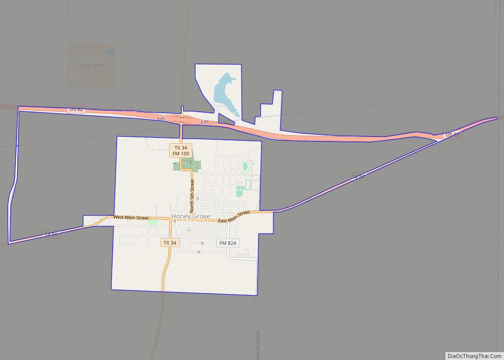
Honey Grove Road Map
Honey Grove city Satellite Map
Geography
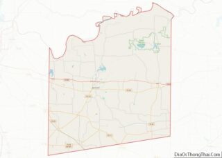
Honey Grove is in central North Texas, in eastern Fannin County, 16 miles (26 km) east of Bonham, the county seat, 39 miles (63 km) north of Greenville, 42 miles (68 km) east of Sherman, and 90 miles (140 km) northeast of the central business district of Dallas. Honey Grove was developed on flat to gently rolling terrain with scattered trees. The city is at an elevation ranging from about 580 to 690 feet (180 to 210 m) above sea level. U.S. Highway 82 and State Highway 56 traverse the city from east to west, and State Roads 34, 100, and 824 run north and south. Bonham is the closest major economic center. Its climate produces an annual average daily maximum temperature of 75.1 °F, and an average annual rainfall is 43.99 inches (1,117 mm). It is also a part of the Texoma region.
It is located at 33°35′10″N 95°54′26″W / 33.58611°N 95.90722°W / 33.58611; -95.90722 (33.586011, –95.907294). According to the United States Census Bureau, the city has a total area of 3.0 square miles (7.8 km), of which 3.0 square miles (7.7 km) are land and 0.04 square miles (0.1 km), or 1.40%, is covered by water.
See also
Map of Texas State and its subdivision:- Anderson
- Andrews
- Angelina
- Aransas
- Archer
- Armstrong
- Atascosa
- Austin
- Bailey
- Bandera
- Bastrop
- Baylor
- Bee
- Bell
- Bexar
- Blanco
- Borden
- Bosque
- Bowie
- Brazoria
- Brazos
- Brewster
- Briscoe
- Brooks
- Brown
- Burleson
- Burnet
- Caldwell
- Calhoun
- Callahan
- Cameron
- Camp
- Carson
- Cass
- Castro
- Chambers
- Cherokee
- Childress
- Clay
- Cochran
- Coke
- Coleman
- Collin
- Collingsworth
- Colorado
- Comal
- Comanche
- Concho
- Cooke
- Coryell
- Cottle
- Crane
- Crockett
- Crosby
- Culberson
- Dallam
- Dallas
- Dawson
- Deaf Smith
- Delta
- Denton
- Dewitt
- Dickens
- Dimmit
- Donley
- Duval
- Eastland
- Ector
- Edwards
- El Paso
- Ellis
- Erath
- Falls
- Fannin
- Fayette
- Fisher
- Floyd
- Foard
- Fort Bend
- Franklin
- Freestone
- Frio
- Gaines
- Galveston
- Garza
- Gillespie
- Glasscock
- Goliad
- Gonzales
- Gray
- Grayson
- Gregg
- Grimes
- Guadalupe
- Hale
- Hall
- Hamilton
- Hansford
- Hardeman
- Hardin
- Harris
- Harrison
- Hartley
- Haskell
- Hays
- Hemphill
- Henderson
- Hidalgo
- Hill
- Hockley
- Hood
- Hopkins
- Houston
- Howard
- Hudspeth
- Hunt
- Hutchinson
- Irion
- Jack
- Jackson
- Jasper
- Jeff Davis
- Jefferson
- Jim Hogg
- Jim Wells
- Johnson
- Jones
- Karnes
- Kaufman
- Kendall
- Kenedy
- Kent
- Kerr
- Kimble
- King
- Kinney
- Kleberg
- Knox
- La Salle
- Lamar
- Lamb
- Lampasas
- Lavaca
- Lee
- Leon
- Liberty
- Limestone
- Lipscomb
- Live Oak
- Llano
- Loving
- Lubbock
- Lynn
- Madison
- Marion
- Martin
- Mason
- Matagorda
- Maverick
- McCulloch
- McLennan
- McMullen
- Medina
- Menard
- Midland
- Milam
- Mills
- Mitchell
- Montague
- Montgomery
- Moore
- Morris
- Motley
- Nacogdoches
- Navarro
- Newton
- Nolan
- Nueces
- Ochiltree
- Oldham
- Orange
- Palo Pinto
- Panola
- Parker
- Parmer
- Pecos
- Polk
- Potter
- Presidio
- Rains
- Randall
- Reagan
- Real
- Red River
- Reeves
- Refugio
- Roberts
- Robertson
- Rockwall
- Runnels
- Rusk
- Sabine
- San Augustine
- San Jacinto
- San Patricio
- San Saba
- Schleicher
- Scurry
- Shackelford
- Shelby
- Sherman
- Smith
- Somervell
- Starr
- Stephens
- Sterling
- Stonewall
- Sutton
- Swisher
- Tarrant
- Taylor
- Terrell
- Terry
- Throckmorton
- Titus
- Tom Green
- Travis
- Trinity
- Tyler
- Upshur
- Upton
- Uvalde
- Val Verde
- Van Zandt
- Victoria
- Walker
- Waller
- Ward
- Washington
- Webb
- Wharton
- Wheeler
- Wichita
- Wilbarger
- Willacy
- Williamson
- Wilson
- Winkler
- Wise
- Wood
- Yoakum
- Young
- Zapata
- Zavala
- Alabama
- Alaska
- Arizona
- Arkansas
- California
- Colorado
- Connecticut
- Delaware
- District of Columbia
- Florida
- Georgia
- Hawaii
- Idaho
- Illinois
- Indiana
- Iowa
- Kansas
- Kentucky
- Louisiana
- Maine
- Maryland
- Massachusetts
- Michigan
- Minnesota
- Mississippi
- Missouri
- Montana
- Nebraska
- Nevada
- New Hampshire
- New Jersey
- New Mexico
- New York
- North Carolina
- North Dakota
- Ohio
- Oklahoma
- Oregon
- Pennsylvania
- Rhode Island
- South Carolina
- South Dakota
- Tennessee
- Texas
- Utah
- Vermont
- Virginia
- Washington
- West Virginia
- Wisconsin
- Wyoming
