Humble (/ˈʌmbəl/ UM-bəl) is a city located in the Houston metropolitan area. Humble became an oil boomtown in the early 20th century when oil was first discovered there in 1904. By 1905, the Humble oilfield was the largest producing oilfield in Texas. Humble was home of The Humble Oil and Refining Company, a predecessor of Exxon.
As of the 2020 census, the city population was 16,795.
| Name: | Humble city |
|---|---|
| LSAD Code: | 25 |
| LSAD Description: | city (suffix) |
| State: | Texas |
| County: | Harris County |
| Incorporated: | 1933 |
| Elevation: | 90 ft (27.4 m) |
| Total Area: | 9.82 sq mi (25.45 km²) |
| Land Area: | 9.76 sq mi (25.29 km²) |
| Water Area: | 0.06 sq mi (0.16 km²) |
| Total Population: | 16,795 |
| Population Density: | 1,620.65/sq mi (625.72/km²) |
| ZIP code: | 77338, 77346, 77396 |
| Area code: | 281 |
| FIPS code: | 4835348 |
| GNISfeature ID: | 1374175 |
| Website: | www.cityofhumble.net |
Online Interactive Map
Click on ![]() to view map in "full screen" mode.
to view map in "full screen" mode.
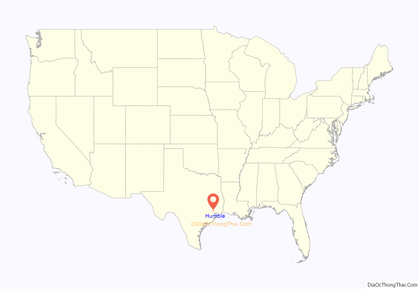
Humble location map. Where is Humble city?
History
The first settlers began moving into the Humble area in the early 19th century. Joseph Dunman is believed to be the first settler in 1828. A ferry was built nearby, across the San Jacinto River. The area of Humble became a center for commercial activity due to the region’s large oil industry.
The city got its name from one of the original founders/settlers, Pleasant Smith Humble, who opened the first post office in his home and later served as justice of the peace. In 1883, a city directory reported that he operated a fruit stand. In 1885, he was a wood dealer, and in 1900, the District 99, Justice Pct. 4, Harris Co., Texas Census reported his occupation as attorney at law.
Humble became an oil boomtown in the early 1900 when oil was first produced there. The first oil was produced a couple years after the famous Spindletop discovery in Beaumont, Texas. Railroad linkage was established in 1904, and shortly thereafter the first tank car of oil was shipped out of Humble’s oil field. By 1905 the Humble oilfield was the biggest producing field in Texas. The Humble oil fields are still active and have produced over 138,835,590 barrels (22,073,095 m) of oil. The town was the home of the Humble Oil & Refining Company, founded in 1911, a predecessor of Exxon. When the oil boom receded, many land owners returned to truck farming, dairy farming and the timber industry.
Humble remained a rather small, quiet city until the opening of the Houston Intercontinental Airport in 1969.
Humble City Council passed, by a 5-1 vote, a public smoking ban on that took effect on March 6, 2012.
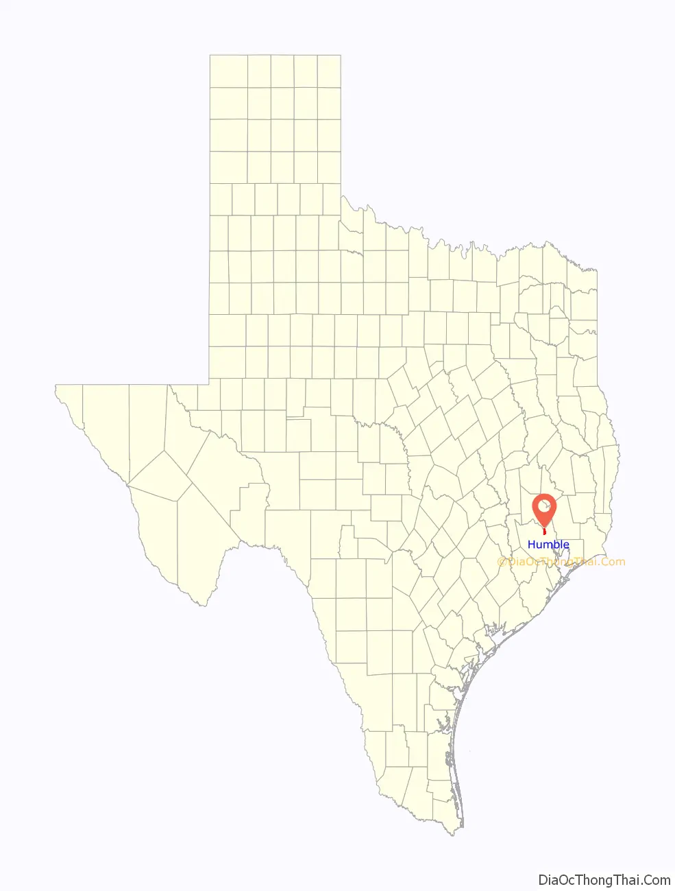
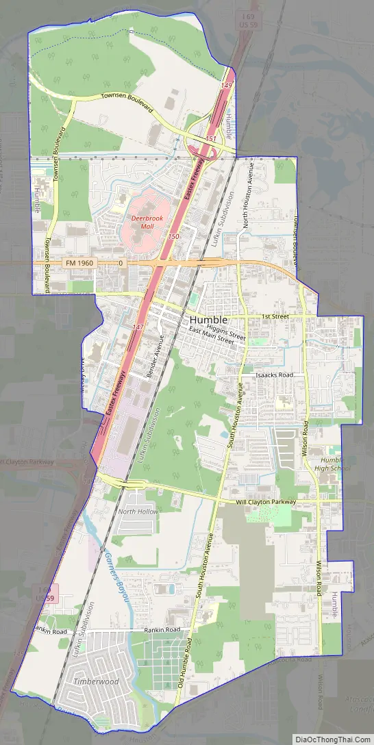
Humble Road Map
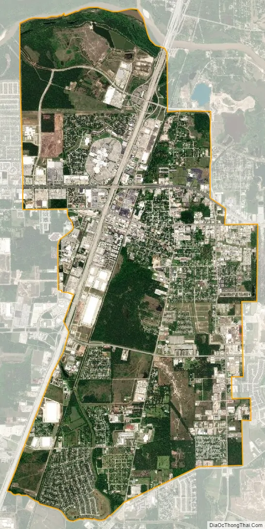
Humble city Satellite Map
Geography
Humble is located at 29°59′42″N 95°15′54″W / 29.99500°N 95.26500°W / 29.99500; -95.26500 (29.994920, –95.264873).
According to the United States Census Bureau, the city has a total area of 9.9 square miles (26 km), of which 9.9 square miles (26 km) is land and 0.10% is water.
Downtown Humble is located on a salt dome. Most of the petroleum production is shallow and encircles the city by about a 2.5-mile (4.0 km) radius.
Climate
The climate in this area is characterized by hot, humid summers and generally mild to cool winters. According to the Köppen Climate Classification system, Humble has a humid subtropical climate, abbreviated “Cfa” on climate maps.
See also
Map of Texas State and its subdivision:- Anderson
- Andrews
- Angelina
- Aransas
- Archer
- Armstrong
- Atascosa
- Austin
- Bailey
- Bandera
- Bastrop
- Baylor
- Bee
- Bell
- Bexar
- Blanco
- Borden
- Bosque
- Bowie
- Brazoria
- Brazos
- Brewster
- Briscoe
- Brooks
- Brown
- Burleson
- Burnet
- Caldwell
- Calhoun
- Callahan
- Cameron
- Camp
- Carson
- Cass
- Castro
- Chambers
- Cherokee
- Childress
- Clay
- Cochran
- Coke
- Coleman
- Collin
- Collingsworth
- Colorado
- Comal
- Comanche
- Concho
- Cooke
- Coryell
- Cottle
- Crane
- Crockett
- Crosby
- Culberson
- Dallam
- Dallas
- Dawson
- Deaf Smith
- Delta
- Denton
- Dewitt
- Dickens
- Dimmit
- Donley
- Duval
- Eastland
- Ector
- Edwards
- El Paso
- Ellis
- Erath
- Falls
- Fannin
- Fayette
- Fisher
- Floyd
- Foard
- Fort Bend
- Franklin
- Freestone
- Frio
- Gaines
- Galveston
- Garza
- Gillespie
- Glasscock
- Goliad
- Gonzales
- Gray
- Grayson
- Gregg
- Grimes
- Guadalupe
- Hale
- Hall
- Hamilton
- Hansford
- Hardeman
- Hardin
- Harris
- Harrison
- Hartley
- Haskell
- Hays
- Hemphill
- Henderson
- Hidalgo
- Hill
- Hockley
- Hood
- Hopkins
- Houston
- Howard
- Hudspeth
- Hunt
- Hutchinson
- Irion
- Jack
- Jackson
- Jasper
- Jeff Davis
- Jefferson
- Jim Hogg
- Jim Wells
- Johnson
- Jones
- Karnes
- Kaufman
- Kendall
- Kenedy
- Kent
- Kerr
- Kimble
- King
- Kinney
- Kleberg
- Knox
- La Salle
- Lamar
- Lamb
- Lampasas
- Lavaca
- Lee
- Leon
- Liberty
- Limestone
- Lipscomb
- Live Oak
- Llano
- Loving
- Lubbock
- Lynn
- Madison
- Marion
- Martin
- Mason
- Matagorda
- Maverick
- McCulloch
- McLennan
- McMullen
- Medina
- Menard
- Midland
- Milam
- Mills
- Mitchell
- Montague
- Montgomery
- Moore
- Morris
- Motley
- Nacogdoches
- Navarro
- Newton
- Nolan
- Nueces
- Ochiltree
- Oldham
- Orange
- Palo Pinto
- Panola
- Parker
- Parmer
- Pecos
- Polk
- Potter
- Presidio
- Rains
- Randall
- Reagan
- Real
- Red River
- Reeves
- Refugio
- Roberts
- Robertson
- Rockwall
- Runnels
- Rusk
- Sabine
- San Augustine
- San Jacinto
- San Patricio
- San Saba
- Schleicher
- Scurry
- Shackelford
- Shelby
- Sherman
- Smith
- Somervell
- Starr
- Stephens
- Sterling
- Stonewall
- Sutton
- Swisher
- Tarrant
- Taylor
- Terrell
- Terry
- Throckmorton
- Titus
- Tom Green
- Travis
- Trinity
- Tyler
- Upshur
- Upton
- Uvalde
- Val Verde
- Van Zandt
- Victoria
- Walker
- Waller
- Ward
- Washington
- Webb
- Wharton
- Wheeler
- Wichita
- Wilbarger
- Willacy
- Williamson
- Wilson
- Winkler
- Wise
- Wood
- Yoakum
- Young
- Zapata
- Zavala
- Alabama
- Alaska
- Arizona
- Arkansas
- California
- Colorado
- Connecticut
- Delaware
- District of Columbia
- Florida
- Georgia
- Hawaii
- Idaho
- Illinois
- Indiana
- Iowa
- Kansas
- Kentucky
- Louisiana
- Maine
- Maryland
- Massachusetts
- Michigan
- Minnesota
- Mississippi
- Missouri
- Montana
- Nebraska
- Nevada
- New Hampshire
- New Jersey
- New Mexico
- New York
- North Carolina
- North Dakota
- Ohio
- Oklahoma
- Oregon
- Pennsylvania
- Rhode Island
- South Carolina
- South Dakota
- Tennessee
- Texas
- Utah
- Vermont
- Virginia
- Washington
- West Virginia
- Wisconsin
- Wyoming


