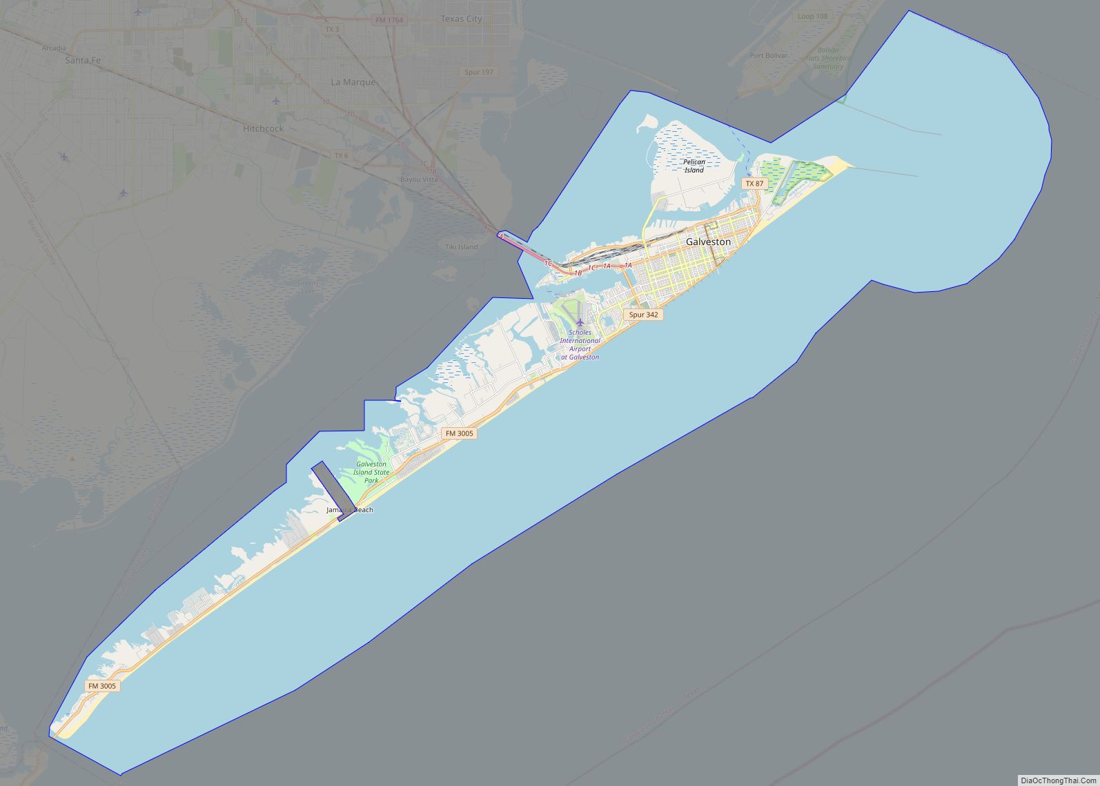
Jamaica Beach is a city in Galveston County, Texas, United States on Galveston Island. As of the 2010 census, the city’s population was 983. the city is bordered by Galveston to the east and west, the east bay on the north and the Gulf of Mexico to the south.
| Name: | Jamaica Beach city |
|---|---|
| LSAD Code: | 25 |
| LSAD Description: | city (suffix) |
| State: | Texas |
| County: | Galveston County |
| Elevation: | 3 ft (1 m) |
| Total Area: | 0.72 sq mi (1.86 km²) |
| Land Area: | 0.58 sq mi (1.50 km²) |
| Water Area: | 0.14 sq mi (0.35 km²) |
| Total Population: | 983 |
| Population Density: | 1,857.14/sq mi (717.23/km²) |
| ZIP code: | 77550, 77554 |
| Area code: | 409 |
| FIPS code: | 4837252 |
| GNISfeature ID: | 1388565 |
| Website: | http://www.ci.jamaicabeach.tx.us/ |
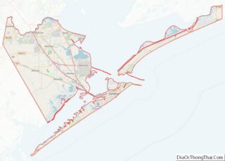
Online Interactive Map
Click on ![]() to view map in "full screen" mode.
to view map in "full screen" mode.
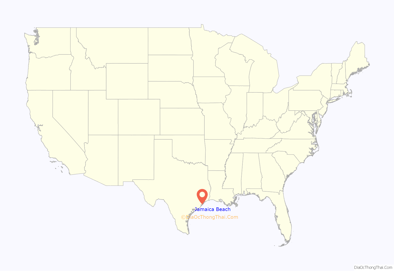
Jamaica Beach location map. Where is Jamaica Beach city?
History
Prior to its development, Jamaica Beach was a burial ground of the Karankawa people. Johnny Goyen and Earl Galceran of the Jamaica Corporation developed Jamaica Beach as a 2,000-lot resort subdivision in close proximity to a marina. The individuals who were a part of the development effort were Goyen, Galceran, brothers Jack and Welcome Wilson, Bill Sherrill, and Jack Valenti. They acquired an area of 320 acres (130 ha) that was owned by the Moody family. An oil businessperson named R.E. “Bob” Smith decided not to be a partner in the development, but he purchased the Moody land and sold it to the developers. He did not ask for any down payments and he guaranteed a $250,000 bank loan. Initially, the beachfront lots, each 90 feet (27 m), were sold for $3,500 apiece. The “second row” houses sold at a quick pace. As the subsequent rows of houses opened to sale, the sales figures decreased slowly because while wealthy people were easily able to acquire second houses, middle class homebuyers were unable to get a mortgage, and needed to pay for the homebuilding with cash.
In the 1960s, the discovery of a skull and that it was connected to a Karankawa Native American burial ground led to an increase in public exposure and visitors. Welcome Wilson said that no additional sales were generated by the publicity. With the growth of the second house market, almost all of the lots on Jamaica Beach had been sold by the 1970s. Due to a decline in the United States economy, the developer closed its doors. The city incorporated on May 12, 1975. By 1978, 141 residents lived in Jamaica Beach. By 1988, the city had 446 residents and no businesses. By 1990, the city had 624 residents.
Jamaica Beach was affected by Hurricane Alicia in August 1983. In September 2008, the city was affected by Hurricane Ike.
On Saturday August 9, 2008, Jamaica Beach celebrated the 50th anniversary of its groundbreaking. At the ceremony, Welcome Wilson donated boxes of news articles, brochures, and promotional materials in order to build a collection for a museum located at the city hall. In addition, the five children of Welcome Wilson donated $10,000 to the new museum.
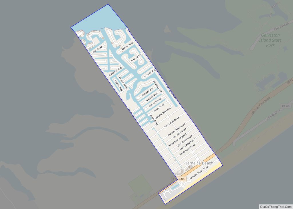
Jamaica Beach Road Map
Jamaica Beach city Satellite Map
Geography
Jamaica Beach is located at 29°11′31″N 94°58′50″W / 29.19194°N 94.98056°W / 29.19194; -94.98056 (29.192080, –94.980488).
According to the United States Census Bureau, the city has a total area of 0.77 square miles (2.0 km), of which0.19 square miles (0.5 km), or 24.57%, is covered by water.
The city has several pirate-themed street names. They include “Blackbeard”, “Buccaneer”, “Captain Hook”, “Captain Kidd”. “Francis Drake”, “John Davis”, “Jean Lafitte”, “Mansvelt”, “Henry Morgan”, “John Silver”, and “Edward Teach”.
See also
Map of Texas State and its subdivision:- Anderson
- Andrews
- Angelina
- Aransas
- Archer
- Armstrong
- Atascosa
- Austin
- Bailey
- Bandera
- Bastrop
- Baylor
- Bee
- Bell
- Bexar
- Blanco
- Borden
- Bosque
- Bowie
- Brazoria
- Brazos
- Brewster
- Briscoe
- Brooks
- Brown
- Burleson
- Burnet
- Caldwell
- Calhoun
- Callahan
- Cameron
- Camp
- Carson
- Cass
- Castro
- Chambers
- Cherokee
- Childress
- Clay
- Cochran
- Coke
- Coleman
- Collin
- Collingsworth
- Colorado
- Comal
- Comanche
- Concho
- Cooke
- Coryell
- Cottle
- Crane
- Crockett
- Crosby
- Culberson
- Dallam
- Dallas
- Dawson
- Deaf Smith
- Delta
- Denton
- Dewitt
- Dickens
- Dimmit
- Donley
- Duval
- Eastland
- Ector
- Edwards
- El Paso
- Ellis
- Erath
- Falls
- Fannin
- Fayette
- Fisher
- Floyd
- Foard
- Fort Bend
- Franklin
- Freestone
- Frio
- Gaines
- Galveston
- Garza
- Gillespie
- Glasscock
- Goliad
- Gonzales
- Gray
- Grayson
- Gregg
- Grimes
- Guadalupe
- Hale
- Hall
- Hamilton
- Hansford
- Hardeman
- Hardin
- Harris
- Harrison
- Hartley
- Haskell
- Hays
- Hemphill
- Henderson
- Hidalgo
- Hill
- Hockley
- Hood
- Hopkins
- Houston
- Howard
- Hudspeth
- Hunt
- Hutchinson
- Irion
- Jack
- Jackson
- Jasper
- Jeff Davis
- Jefferson
- Jim Hogg
- Jim Wells
- Johnson
- Jones
- Karnes
- Kaufman
- Kendall
- Kenedy
- Kent
- Kerr
- Kimble
- King
- Kinney
- Kleberg
- Knox
- La Salle
- Lamar
- Lamb
- Lampasas
- Lavaca
- Lee
- Leon
- Liberty
- Limestone
- Lipscomb
- Live Oak
- Llano
- Loving
- Lubbock
- Lynn
- Madison
- Marion
- Martin
- Mason
- Matagorda
- Maverick
- McCulloch
- McLennan
- McMullen
- Medina
- Menard
- Midland
- Milam
- Mills
- Mitchell
- Montague
- Montgomery
- Moore
- Morris
- Motley
- Nacogdoches
- Navarro
- Newton
- Nolan
- Nueces
- Ochiltree
- Oldham
- Orange
- Palo Pinto
- Panola
- Parker
- Parmer
- Pecos
- Polk
- Potter
- Presidio
- Rains
- Randall
- Reagan
- Real
- Red River
- Reeves
- Refugio
- Roberts
- Robertson
- Rockwall
- Runnels
- Rusk
- Sabine
- San Augustine
- San Jacinto
- San Patricio
- San Saba
- Schleicher
- Scurry
- Shackelford
- Shelby
- Sherman
- Smith
- Somervell
- Starr
- Stephens
- Sterling
- Stonewall
- Sutton
- Swisher
- Tarrant
- Taylor
- Terrell
- Terry
- Throckmorton
- Titus
- Tom Green
- Travis
- Trinity
- Tyler
- Upshur
- Upton
- Uvalde
- Val Verde
- Van Zandt
- Victoria
- Walker
- Waller
- Ward
- Washington
- Webb
- Wharton
- Wheeler
- Wichita
- Wilbarger
- Willacy
- Williamson
- Wilson
- Winkler
- Wise
- Wood
- Yoakum
- Young
- Zapata
- Zavala
- Alabama
- Alaska
- Arizona
- Arkansas
- California
- Colorado
- Connecticut
- Delaware
- District of Columbia
- Florida
- Georgia
- Hawaii
- Idaho
- Illinois
- Indiana
- Iowa
- Kansas
- Kentucky
- Louisiana
- Maine
- Maryland
- Massachusetts
- Michigan
- Minnesota
- Mississippi
- Missouri
- Montana
- Nebraska
- Nevada
- New Hampshire
- New Jersey
- New Mexico
- New York
- North Carolina
- North Dakota
- Ohio
- Oklahoma
- Oregon
- Pennsylvania
- Rhode Island
- South Carolina
- South Dakota
- Tennessee
- Texas
- Utah
- Vermont
- Virginia
- Washington
- West Virginia
- Wisconsin
- Wyoming
