La Joya is a city in Hidalgo County, Texas. The population was 4,374 at the 2020 United States Census. It is part of the McAllen–Edinburg–Mission and Reynosa–McAllen metropolitan areas.
| Name: | La Joya city |
|---|---|
| LSAD Code: | 25 |
| LSAD Description: | city (suffix) |
| State: | Texas |
| County: | Hidalgo County |
| Incorporated: | 1965 |
| Elevation: | 174 ft (53 m) |
| Total Area: | 4.38 sq mi (11.35 km²) |
| Land Area: | 4.21 sq mi (10.89 km²) |
| Water Area: | 0.18 sq mi (0.46 km²) |
| Total Population: | 3,985 |
| Population Density: | 1,020.93/sq mi (394.17/km²) |
| ZIP code: | 78560 |
| Area code: | 956 |
| FIPS code: | 4840384 |
| GNISfeature ID: | 1339334 |
| Website: | www.cityoflajoya.com |
Online Interactive Map
Click on ![]() to view map in "full screen" mode.
to view map in "full screen" mode.
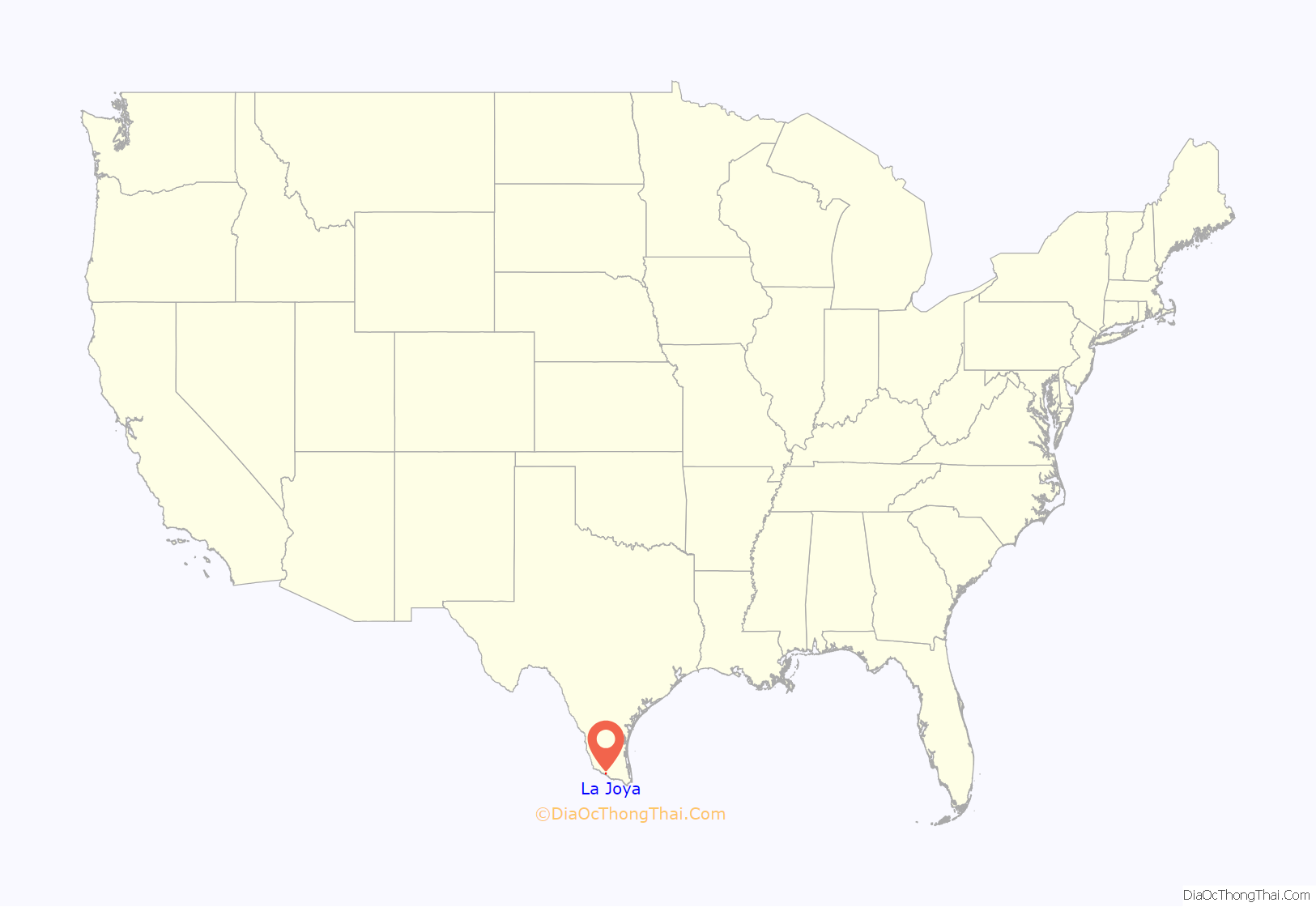
La Joya location map. Where is La Joya city?
History
Its name, meaning “the jewel”, was inspired by a small natural lake west of the city; early settlers were said to observe that the lake shined in the sun like a jewel. The site on which La Joya was founded was part of what was known as “Los Ejidos de Reynosa Viejo”. The ejidos were the shared grazing lands used for the livestock of the settlers of Reynosa Viejo (“Old Reynosa”). During the early 1800s, at the site of what is now La Joya, Francisco de la Garza, a descendant of the early colonizers of the area who soon decided to change his last name from de la Garza to Garza, founded a community, called “Tabasco”, adjacent to the northern bank of the Rio Grande. It was a prosperous community that died out after floods in 1908 and 1909. The settlers moved their belongings just north to higher and less flood-prone ground, present-day La Joya.
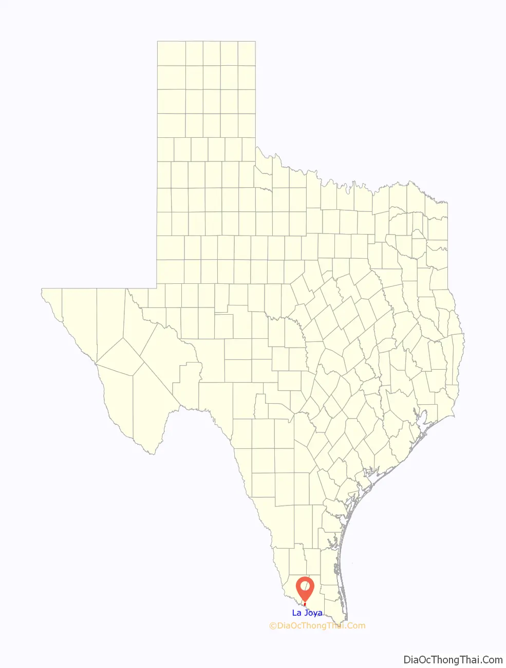
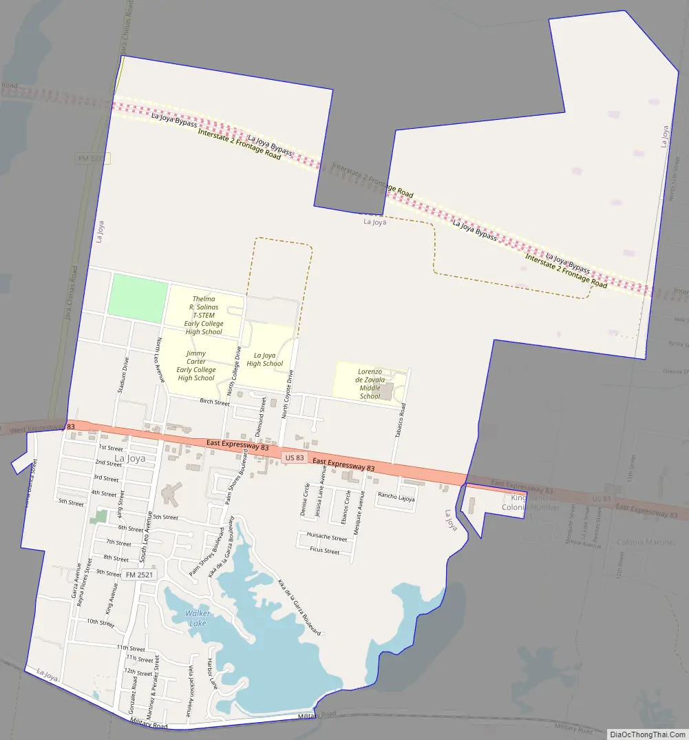
La Joya Road Map
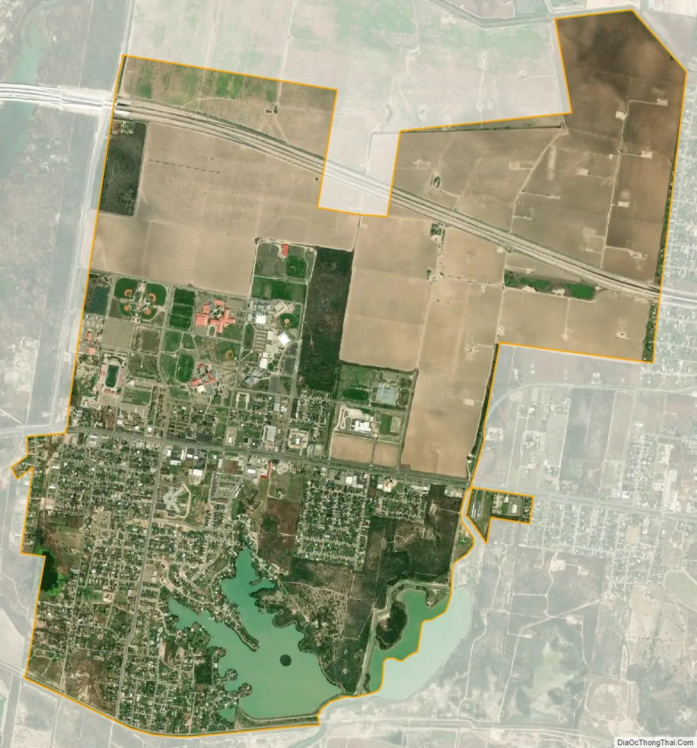
La Joya city Satellite Map
Geography
La Joya is located in southwestern Hidalgo County at 26°14′31″N 98°28′48″W / 26.24194°N 98.48000°W / 26.24194; -98.48000 (26.241996, –98.480138). It is bordered to the east by the city of Peñitas and to the west by unincorporated Havana. Interstate 2 passes through the center of La Joya, leading east 16 miles (26 km) to the center of McAllen and northwest 24 miles (39 km) to Rio Grande City.
According to the United States Census Bureau, La Joya has a total area of 4.4 square miles (11.4 km), of which 4.2 square miles (10.9 km) are land and 0.2 square miles (0.5 km), or 4.05%, are water. Walker Lake is in the southeast part of the city limits.
See also
Map of Texas State and its subdivision:- Anderson
- Andrews
- Angelina
- Aransas
- Archer
- Armstrong
- Atascosa
- Austin
- Bailey
- Bandera
- Bastrop
- Baylor
- Bee
- Bell
- Bexar
- Blanco
- Borden
- Bosque
- Bowie
- Brazoria
- Brazos
- Brewster
- Briscoe
- Brooks
- Brown
- Burleson
- Burnet
- Caldwell
- Calhoun
- Callahan
- Cameron
- Camp
- Carson
- Cass
- Castro
- Chambers
- Cherokee
- Childress
- Clay
- Cochran
- Coke
- Coleman
- Collin
- Collingsworth
- Colorado
- Comal
- Comanche
- Concho
- Cooke
- Coryell
- Cottle
- Crane
- Crockett
- Crosby
- Culberson
- Dallam
- Dallas
- Dawson
- Deaf Smith
- Delta
- Denton
- Dewitt
- Dickens
- Dimmit
- Donley
- Duval
- Eastland
- Ector
- Edwards
- El Paso
- Ellis
- Erath
- Falls
- Fannin
- Fayette
- Fisher
- Floyd
- Foard
- Fort Bend
- Franklin
- Freestone
- Frio
- Gaines
- Galveston
- Garza
- Gillespie
- Glasscock
- Goliad
- Gonzales
- Gray
- Grayson
- Gregg
- Grimes
- Guadalupe
- Hale
- Hall
- Hamilton
- Hansford
- Hardeman
- Hardin
- Harris
- Harrison
- Hartley
- Haskell
- Hays
- Hemphill
- Henderson
- Hidalgo
- Hill
- Hockley
- Hood
- Hopkins
- Houston
- Howard
- Hudspeth
- Hunt
- Hutchinson
- Irion
- Jack
- Jackson
- Jasper
- Jeff Davis
- Jefferson
- Jim Hogg
- Jim Wells
- Johnson
- Jones
- Karnes
- Kaufman
- Kendall
- Kenedy
- Kent
- Kerr
- Kimble
- King
- Kinney
- Kleberg
- Knox
- La Salle
- Lamar
- Lamb
- Lampasas
- Lavaca
- Lee
- Leon
- Liberty
- Limestone
- Lipscomb
- Live Oak
- Llano
- Loving
- Lubbock
- Lynn
- Madison
- Marion
- Martin
- Mason
- Matagorda
- Maverick
- McCulloch
- McLennan
- McMullen
- Medina
- Menard
- Midland
- Milam
- Mills
- Mitchell
- Montague
- Montgomery
- Moore
- Morris
- Motley
- Nacogdoches
- Navarro
- Newton
- Nolan
- Nueces
- Ochiltree
- Oldham
- Orange
- Palo Pinto
- Panola
- Parker
- Parmer
- Pecos
- Polk
- Potter
- Presidio
- Rains
- Randall
- Reagan
- Real
- Red River
- Reeves
- Refugio
- Roberts
- Robertson
- Rockwall
- Runnels
- Rusk
- Sabine
- San Augustine
- San Jacinto
- San Patricio
- San Saba
- Schleicher
- Scurry
- Shackelford
- Shelby
- Sherman
- Smith
- Somervell
- Starr
- Stephens
- Sterling
- Stonewall
- Sutton
- Swisher
- Tarrant
- Taylor
- Terrell
- Terry
- Throckmorton
- Titus
- Tom Green
- Travis
- Trinity
- Tyler
- Upshur
- Upton
- Uvalde
- Val Verde
- Van Zandt
- Victoria
- Walker
- Waller
- Ward
- Washington
- Webb
- Wharton
- Wheeler
- Wichita
- Wilbarger
- Willacy
- Williamson
- Wilson
- Winkler
- Wise
- Wood
- Yoakum
- Young
- Zapata
- Zavala
- Alabama
- Alaska
- Arizona
- Arkansas
- California
- Colorado
- Connecticut
- Delaware
- District of Columbia
- Florida
- Georgia
- Hawaii
- Idaho
- Illinois
- Indiana
- Iowa
- Kansas
- Kentucky
- Louisiana
- Maine
- Maryland
- Massachusetts
- Michigan
- Minnesota
- Mississippi
- Missouri
- Montana
- Nebraska
- Nevada
- New Hampshire
- New Jersey
- New Mexico
- New York
- North Carolina
- North Dakota
- Ohio
- Oklahoma
- Oregon
- Pennsylvania
- Rhode Island
- South Carolina
- South Dakota
- Tennessee
- Texas
- Utah
- Vermont
- Virginia
- Washington
- West Virginia
- Wisconsin
- Wyoming


