Rio Grande City is a city in and the county seat of Starr County, Texas. The population was 14,411 at the time of the 2020 census. The city is 41 miles (66 km) west of McAllen. The city also holds the March record high for the United States at 108 °F (42 °C). The city is connected to Camargo, Tamaulipas, via the Rio Grande City–Camargo International Bridge. The city is situated within the Rio Grande Valley.
| Name: | Rio Grande City city |
|---|---|
| LSAD Code: | 25 |
| LSAD Description: | city (suffix) |
| State: | Texas |
| County: | Starr County |
| Founded: | 1848 |
| Incorporated: | May 1993 |
| Elevation: | 174 ft (53 m) |
| Total Area: | 11.35 sq mi (29.40 km²) |
| Land Area: | 11.35 sq mi (29.40 km²) |
| Water Area: | 0.00 sq mi (0.00 km²) |
| Total Population: | 14,411 |
| Population Density: | 1,278.39/sq mi (493.58/km²) |
| ZIP code: | 78582 |
| Area code: | 956 |
| FIPS code: | 4862168 |
| GNISfeature ID: | 1388199 |
| Website: | http://www.cityofrgc.com/ |
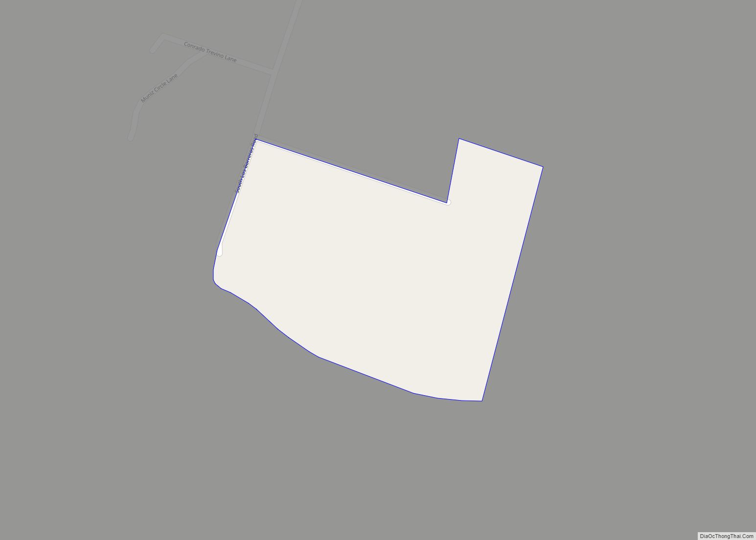
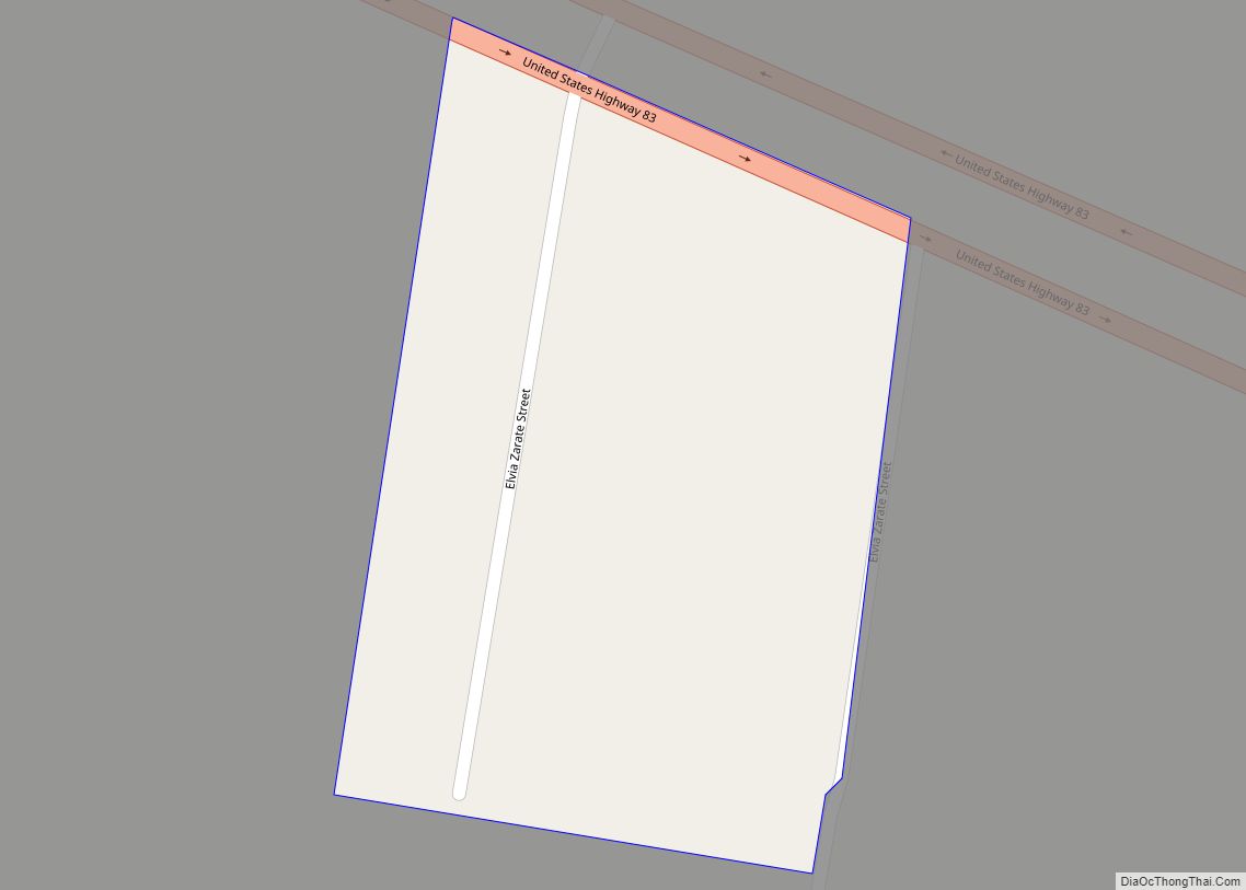
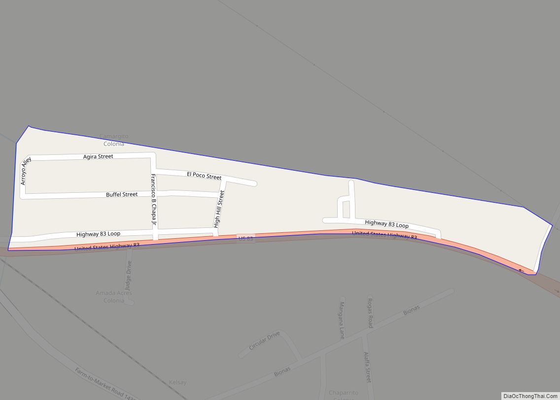
Online Interactive Map
Click on ![]() to view map in "full screen" mode.
to view map in "full screen" mode.
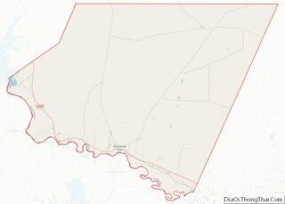
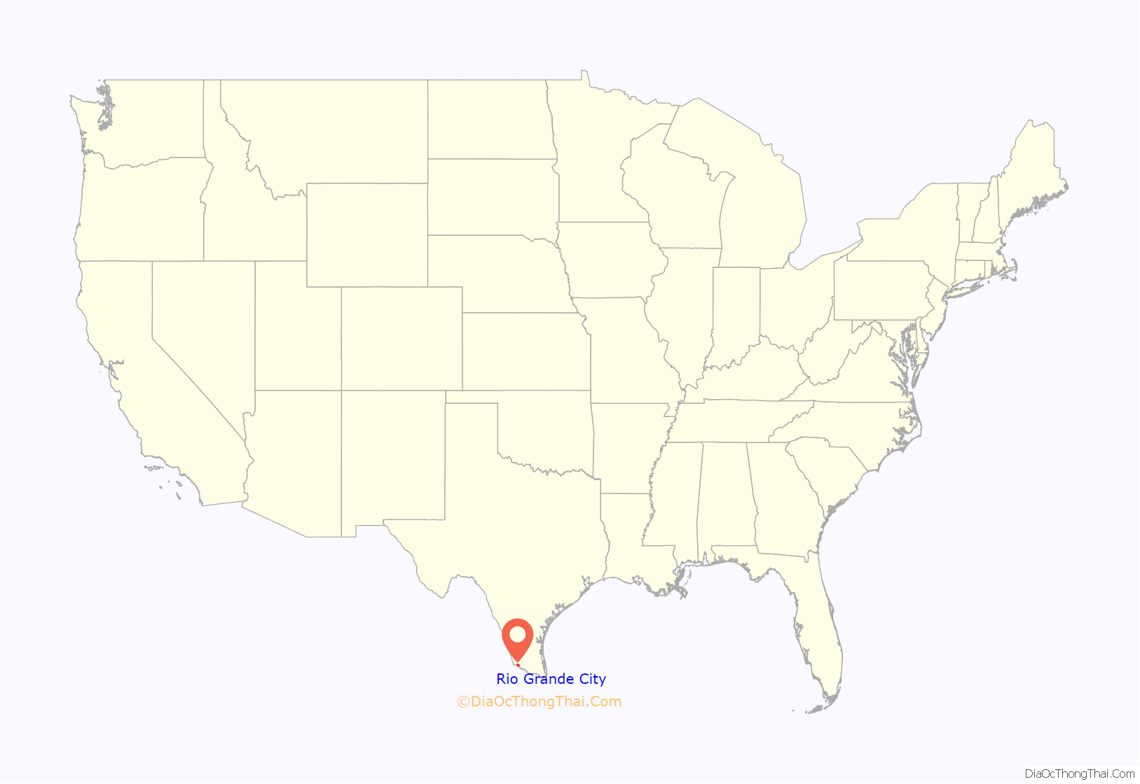
Rio Grande City location map. Where is Rio Grande City city?
History
The area around Rio Grande City was first settled on the southern bank of the river as Camargo. The northern bank was developed—still under the name Camargo—in 1846 when it was used as a supply depot for the army invading Mexico as part of the Mexican–American War. The area developed as the furthest point up the Rio Grande regularly accessible to the era’s steamboats. During the early stages of the war, the American soldier Henry Clay Davis married Hilaria de la Garza Falcon, a resident of Camargo to the south and the heiress to the land on which Rio Grande City now sits. At the end of the war, Davis set out to organize this area into a formal city, breaking up the land into plots. At first, the area was referred to as Rancho Davis. This was changed to Rio Grande City to encourage investors and settlers. From its founding in 1848 until the Texas Mexican Railroad opened up in 1883, Rio Grande City was one of the most significant hubs of trade between Texas and Mexico and was one of the major contemporary contributors to the American romanticized concept of the “Wild West”.
Famous early residents include Joshua H. Bean, brother of Judge Roy Bean, and the first mayor of San Diego, CA; Orlando C. Phelps, one of the few surviving members of the Mier Expedition; Edwin R. Rainwater, hero of the Texas Revolution; Edward R. Hord, an influential early South Texas statesman; and John L. Haynes, a native Virginian politician and writer who was an outspoken anti-secessionist and strong proponent of Mexican-American rights.
Rio Grande City contains a historic district. One structure, the La Borde House, dates back to 1899. A French riverboat trader and merchant commissioned its design in Paris, had it refined by San Antonio architects, and then had it constructed along Main St. It was renovated around the early 1980s and now functions as a hotel, complete with a patio, parlor, shaded verandas, and restaurant.
In the 1970s and into the 1980s, federal law enforcement officials concentrated their anti-drug smuggling efforts on Starr County.
In spite of Rio Grande City’s rich architectural heritage, many buildings in the old downtown district are abandoned, dilapidated, or crumbling. While there are a good number of small shops and businesses operating in the district, most new development and commerce takes place in new shopping centers outside of the old downtown neighborhood.
In May 1993, Rio Grande City was officially incorporated as a municipal corporation (i.e. city).
Rio Grande City has seen rapid growth in the past years. In August 2006, an HEB Plus (the regional supermarket chain of south Texas) was opened just east of the historic downtown and Fort Ringgold.
Fort Ringgold
Ringgold Barracks were established at Davis Landing on 26 October 1848 by the 1st US Infantry under the command of Captain J.H. La Motte, in honor of Major Ringgold who was mortally wounded at the Battle of Palo Alto. Troops were withdrawn on 3 March 1859 but reoccupied again on 29 December 1859 during the Cortina War. Abandoned again at the start of the Civil War in 1861, but reoccupied again by US forces in 1865. The fort was active until 1944 when the property was sold to the Rio Grande City public schools system Units stationed here included the 1st Infantry (Mounted Dragoons), 7th and 28th Infantry Regiments, 3rd Texas Volunteers, the 9th, 10th and 12th Cavalry Regiments, the 9th and 10th being composed of Buffalo Soldiers. Besides the parade ground, several post buildings survive as school facilities. These include the sentry and guard houses, barracks, officers quarters, the bakery, hospital and post headquarters, situated along Ringgold Avenue, Lee Circle, 12th Cavalry and F Troop streets. The Rio Grande City United States Army Reserve Center is the only remaining military presence at the Fort Ringgold area.
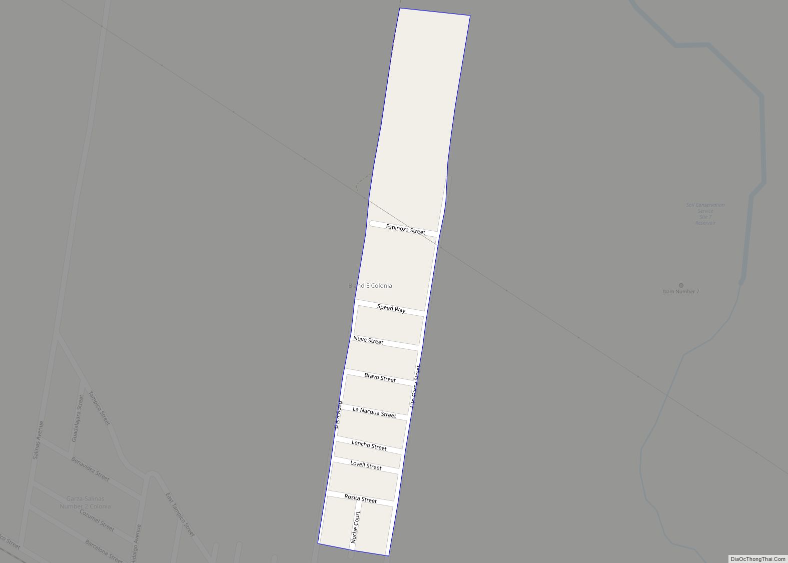
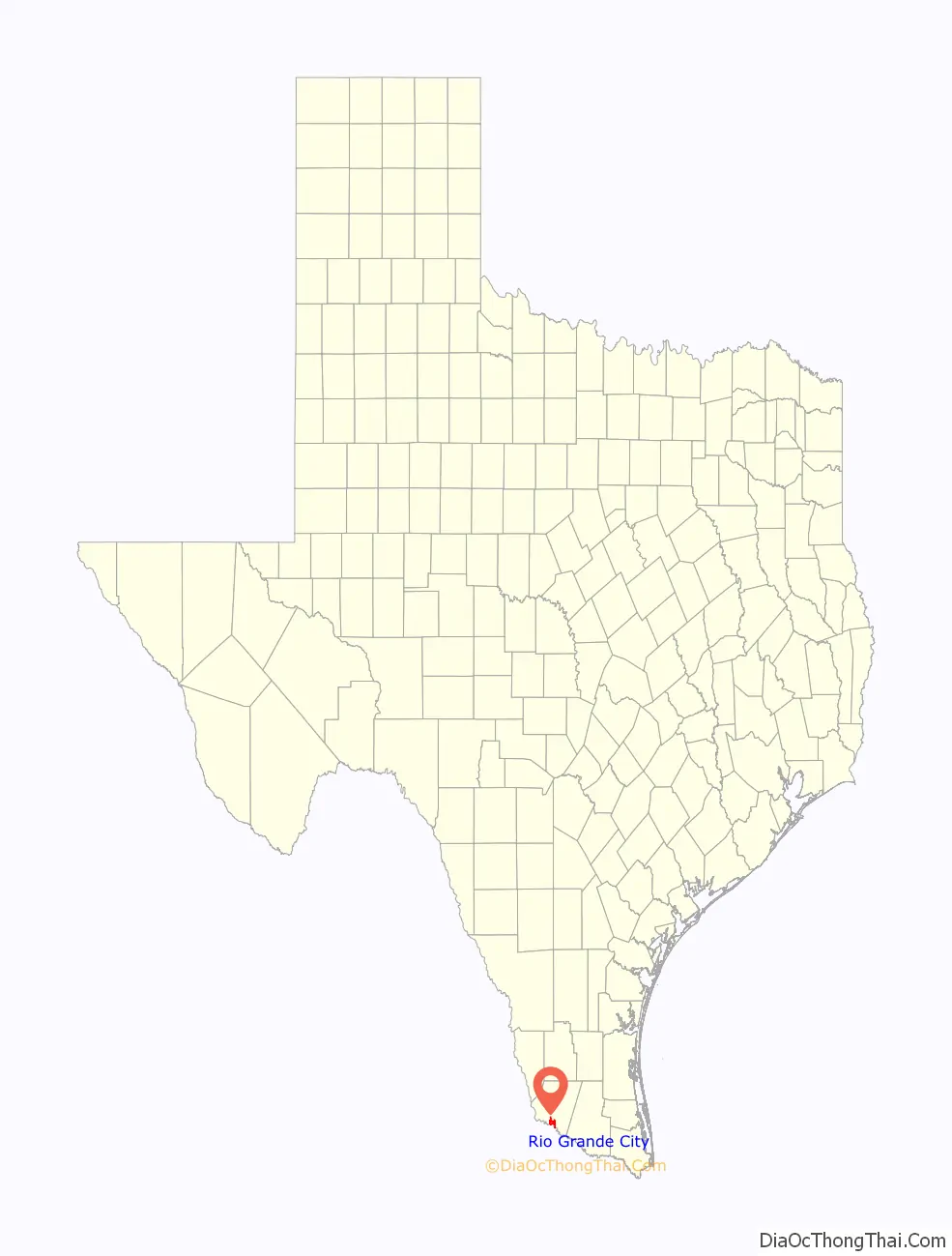
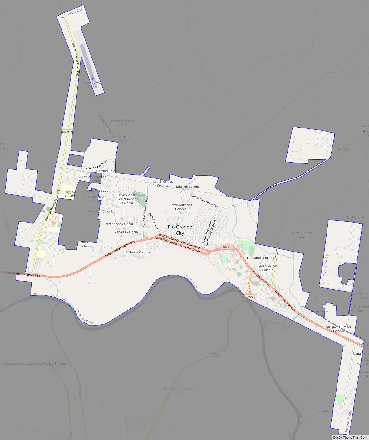
Rio Grande City Road Map
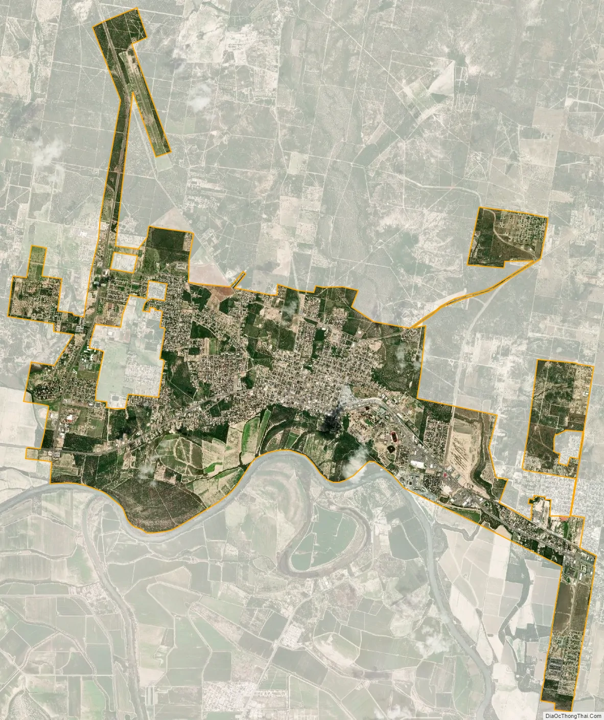
Rio Grande City city Satellite Map
Geography
Rio Grande City is located at 26°22′50″N 98°49′6″W / 26.38056°N 98.81833°W / 26.38056; -98.81833 (26.380667, −98.818364).
The city gained area prior to the 2010 census giving it a total area of 11.4 square miles (30.0 km), all land.
See also
Map of Texas State and its subdivision:- Anderson
- Andrews
- Angelina
- Aransas
- Archer
- Armstrong
- Atascosa
- Austin
- Bailey
- Bandera
- Bastrop
- Baylor
- Bee
- Bell
- Bexar
- Blanco
- Borden
- Bosque
- Bowie
- Brazoria
- Brazos
- Brewster
- Briscoe
- Brooks
- Brown
- Burleson
- Burnet
- Caldwell
- Calhoun
- Callahan
- Cameron
- Camp
- Carson
- Cass
- Castro
- Chambers
- Cherokee
- Childress
- Clay
- Cochran
- Coke
- Coleman
- Collin
- Collingsworth
- Colorado
- Comal
- Comanche
- Concho
- Cooke
- Coryell
- Cottle
- Crane
- Crockett
- Crosby
- Culberson
- Dallam
- Dallas
- Dawson
- Deaf Smith
- Delta
- Denton
- Dewitt
- Dickens
- Dimmit
- Donley
- Duval
- Eastland
- Ector
- Edwards
- El Paso
- Ellis
- Erath
- Falls
- Fannin
- Fayette
- Fisher
- Floyd
- Foard
- Fort Bend
- Franklin
- Freestone
- Frio
- Gaines
- Galveston
- Garza
- Gillespie
- Glasscock
- Goliad
- Gonzales
- Gray
- Grayson
- Gregg
- Grimes
- Guadalupe
- Hale
- Hall
- Hamilton
- Hansford
- Hardeman
- Hardin
- Harris
- Harrison
- Hartley
- Haskell
- Hays
- Hemphill
- Henderson
- Hidalgo
- Hill
- Hockley
- Hood
- Hopkins
- Houston
- Howard
- Hudspeth
- Hunt
- Hutchinson
- Irion
- Jack
- Jackson
- Jasper
- Jeff Davis
- Jefferson
- Jim Hogg
- Jim Wells
- Johnson
- Jones
- Karnes
- Kaufman
- Kendall
- Kenedy
- Kent
- Kerr
- Kimble
- King
- Kinney
- Kleberg
- Knox
- La Salle
- Lamar
- Lamb
- Lampasas
- Lavaca
- Lee
- Leon
- Liberty
- Limestone
- Lipscomb
- Live Oak
- Llano
- Loving
- Lubbock
- Lynn
- Madison
- Marion
- Martin
- Mason
- Matagorda
- Maverick
- McCulloch
- McLennan
- McMullen
- Medina
- Menard
- Midland
- Milam
- Mills
- Mitchell
- Montague
- Montgomery
- Moore
- Morris
- Motley
- Nacogdoches
- Navarro
- Newton
- Nolan
- Nueces
- Ochiltree
- Oldham
- Orange
- Palo Pinto
- Panola
- Parker
- Parmer
- Pecos
- Polk
- Potter
- Presidio
- Rains
- Randall
- Reagan
- Real
- Red River
- Reeves
- Refugio
- Roberts
- Robertson
- Rockwall
- Runnels
- Rusk
- Sabine
- San Augustine
- San Jacinto
- San Patricio
- San Saba
- Schleicher
- Scurry
- Shackelford
- Shelby
- Sherman
- Smith
- Somervell
- Starr
- Stephens
- Sterling
- Stonewall
- Sutton
- Swisher
- Tarrant
- Taylor
- Terrell
- Terry
- Throckmorton
- Titus
- Tom Green
- Travis
- Trinity
- Tyler
- Upshur
- Upton
- Uvalde
- Val Verde
- Van Zandt
- Victoria
- Walker
- Waller
- Ward
- Washington
- Webb
- Wharton
- Wheeler
- Wichita
- Wilbarger
- Willacy
- Williamson
- Wilson
- Winkler
- Wise
- Wood
- Yoakum
- Young
- Zapata
- Zavala
- Alabama
- Alaska
- Arizona
- Arkansas
- California
- Colorado
- Connecticut
- Delaware
- District of Columbia
- Florida
- Georgia
- Hawaii
- Idaho
- Illinois
- Indiana
- Iowa
- Kansas
- Kentucky
- Louisiana
- Maine
- Maryland
- Massachusetts
- Michigan
- Minnesota
- Mississippi
- Missouri
- Montana
- Nebraska
- Nevada
- New Hampshire
- New Jersey
- New Mexico
- New York
- North Carolina
- North Dakota
- Ohio
- Oklahoma
- Oregon
- Pennsylvania
- Rhode Island
- South Carolina
- South Dakota
- Tennessee
- Texas
- Utah
- Vermont
- Virginia
- Washington
- West Virginia
- Wisconsin
- Wyoming