La Marque (/lə ˈmɑːrk/ lə MARK) is a city in Galveston County, Texas, south of Houston. The city population in 2020 was 18,030. It is a part of the Houston-The Woodlands-Sugar Land metropolitan area. La Marque experienced considerable growth in the 1950s, during which the city provided a general administrative and trades and crafts workforce helping to support the petrochemical complex in adjoining Texas City. It is the hometown of U.S. Senator Kay Bailey Hutchison and Norman Bulaich.
| Name: | La Marque city |
|---|---|
| LSAD Code: | 25 |
| LSAD Description: | city (suffix) |
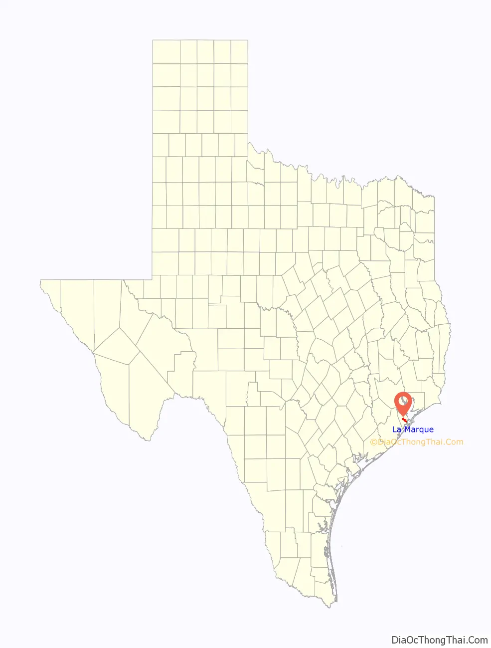
| State: | Texas |
| County: | Galveston County |
| Elevation: | 16 ft (5 m) |
| Total Area: | 14.28 sq mi (36.98 km²) |
| Land Area: | 13.75 sq mi (35.62 km²) |
| Water Area: | 0.52 sq mi (1.36 km²) |
| Total Population: | 18,030 |
| Population Density: | 1,259.20/sq mi (486.16/km²) |
| ZIP code: | 77568 |
| Area code: | 409 |
| FIPS code: | 4841116 |
| GNISfeature ID: | 1377749 |
| Website: | http://www.ci.la-marque.tx.us/ |
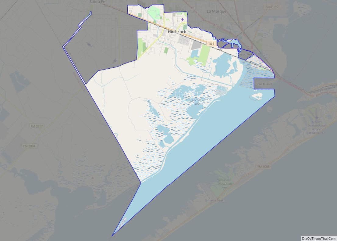
Online Interactive Map
Click on ![]() to view map in "full screen" mode.
to view map in "full screen" mode.
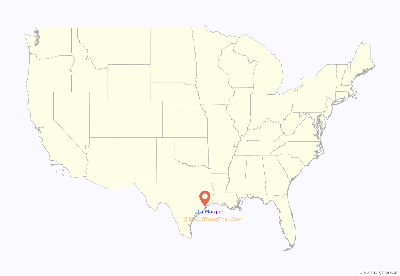
La Marque location map. Where is La Marque city?
History
La Marque, also once known as Highlands and Buttermilk Junction, is an incorporated residential community on Interstate Highway 45, State Highway 3, and Farm Roads 519, 1765, and 2004, some 12 miles northwest of Galveston in northwestern Galveston County. The community was originally known as Highlands, probably for its location near Highland Creek, and was renamed in the 1890s when residents learned of another mainland community of the same name. Madam St. Ambrose, a French Catholic Ursuline Sister and postmistress, chose the new name, which in French means “the mark”.
The community’s post office operated from 1887 until the 1930s. During the Civil War, the town was known as Buttermilk Junction after the soldiers’ practice of purchasing buttermilk there on the trip between Galveston and Houston. In 1867, the town had six families and its residents raised cattle or rice. The local population rose from 100 in 1890 to 175 in 1896, when the community had a Baptist church and several fruit growers. A school with 14 students existed before 1895, when Amos Stewart gave land for a larger facility. By 1909, two teachers served an enrollment of 55 students, and in 1913, further construction began.
By 1914, the community had been reached by four railroads: the International and Great Northern; the Galveston, Houston and Henderson; the Missouri, Kansas and Texas; and the Interurban. At that time, La Marque had both a railroad station and general store located in a private home. The town’s population reached 500 in 1914 and 1,500 by 1952, when it had 90 businesses. As it grew together with nearby Texas City, La Marque served as a residential community for employees at nearby industrial facilities (e.g., chemical plants and refineries) in the La Marque-Texas City area, as well as the Galveston Island Medical Center. The town had a population of 17,000 and 130 businesses in 1977. In 1988, it had 15,697 residents and 158 businesses, and in 1991, some 14,258 residents and 272 businesses.
In the 2000s, rising real estate costs in Galveston forced many families to move to other areas, including La Marque. This meant an influx of children from the Galveston Independent School District into other school districts. In spite of this fact, the number of children enrolled in the La Marque Independent School District has continued to fall.
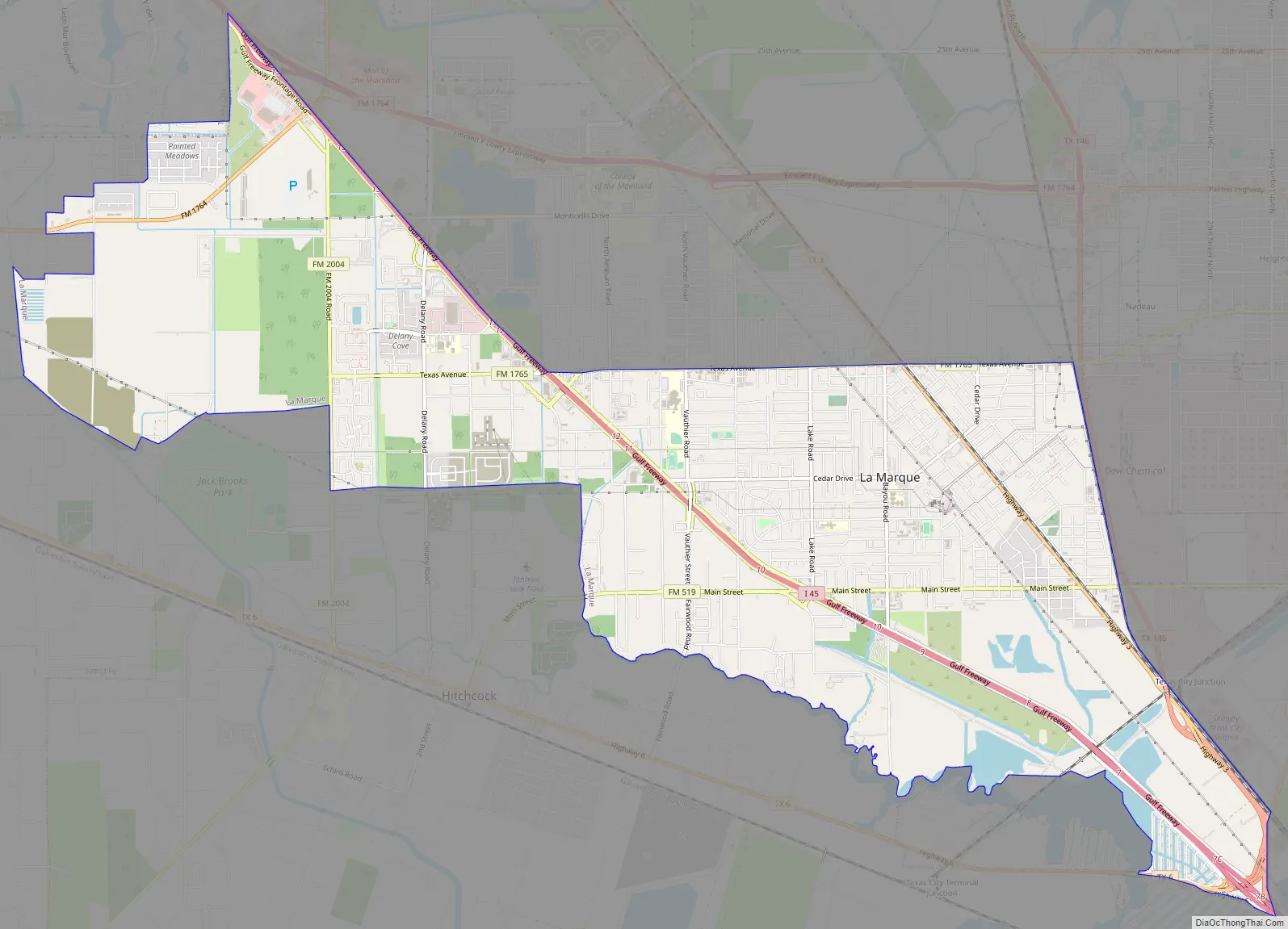
La Marque Road Map
La Marque city Satellite Map
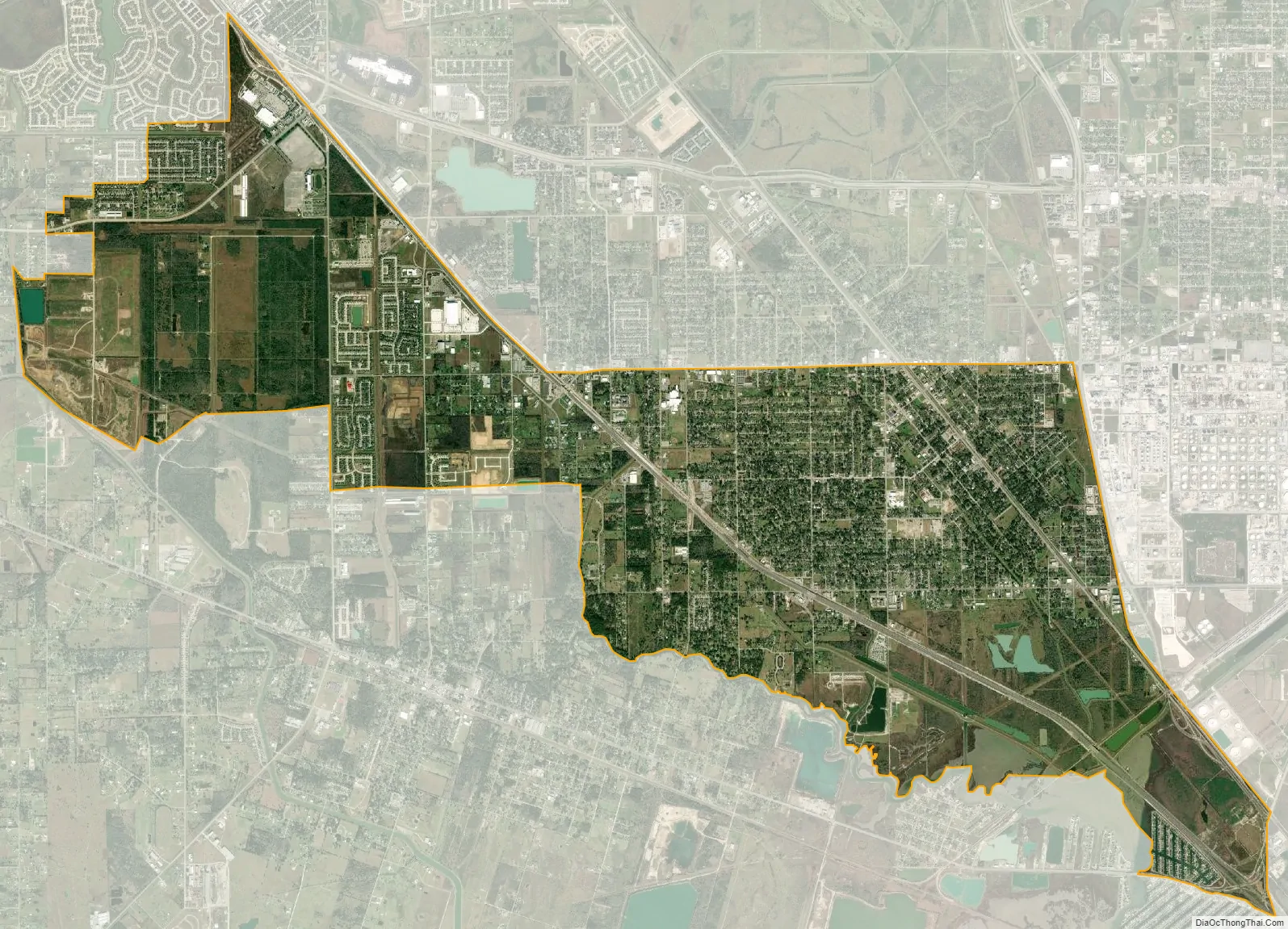
Geography
La Marque is located at 29°22′00″N 94°58′26″W / 29.366684°N 94.973922°W / 29.366684; -94.973922 (29.366684, –94.973922).
According to the United States Census Bureau, the city has a total area of 14.3 square miles (37 km), of which, 14.2 square miles (37 km) of it are land and 0.04 square miles (0.10 km) of it (0.28%) is covered by water.
See also
Map of Texas State and its subdivision:- Anderson
- Andrews
- Angelina
- Aransas
- Archer
- Armstrong
- Atascosa
- Austin
- Bailey
- Bandera
- Bastrop
- Baylor
- Bee
- Bell
- Bexar
- Blanco
- Borden
- Bosque
- Bowie
- Brazoria
- Brazos
- Brewster
- Briscoe
- Brooks
- Brown
- Burleson
- Burnet
- Caldwell
- Calhoun
- Callahan
- Cameron
- Camp
- Carson
- Cass
- Castro
- Chambers
- Cherokee
- Childress
- Clay
- Cochran
- Coke
- Coleman
- Collin
- Collingsworth
- Colorado
- Comal
- Comanche
- Concho
- Cooke
- Coryell
- Cottle
- Crane
- Crockett
- Crosby
- Culberson
- Dallam
- Dallas
- Dawson
- Deaf Smith
- Delta
- Denton
- Dewitt
- Dickens
- Dimmit
- Donley
- Duval
- Eastland
- Ector
- Edwards
- El Paso
- Ellis
- Erath
- Falls
- Fannin
- Fayette
- Fisher
- Floyd
- Foard
- Fort Bend
- Franklin
- Freestone
- Frio
- Gaines
- Galveston
- Garza
- Gillespie
- Glasscock
- Goliad
- Gonzales
- Gray
- Grayson
- Gregg
- Grimes
- Guadalupe
- Hale
- Hall
- Hamilton
- Hansford
- Hardeman
- Hardin
- Harris
- Harrison
- Hartley
- Haskell
- Hays
- Hemphill
- Henderson
- Hidalgo
- Hill
- Hockley
- Hood
- Hopkins
- Houston
- Howard
- Hudspeth
- Hunt
- Hutchinson
- Irion
- Jack
- Jackson
- Jasper
- Jeff Davis
- Jefferson
- Jim Hogg
- Jim Wells
- Johnson
- Jones
- Karnes
- Kaufman
- Kendall
- Kenedy
- Kent
- Kerr
- Kimble
- King
- Kinney
- Kleberg
- Knox
- La Salle
- Lamar
- Lamb
- Lampasas
- Lavaca
- Lee
- Leon
- Liberty
- Limestone
- Lipscomb
- Live Oak
- Llano
- Loving
- Lubbock
- Lynn
- Madison
- Marion
- Martin
- Mason
- Matagorda
- Maverick
- McCulloch
- McLennan
- McMullen
- Medina
- Menard
- Midland
- Milam
- Mills
- Mitchell
- Montague
- Montgomery
- Moore
- Morris
- Motley
- Nacogdoches
- Navarro
- Newton
- Nolan
- Nueces
- Ochiltree
- Oldham
- Orange
- Palo Pinto
- Panola
- Parker
- Parmer
- Pecos
- Polk
- Potter
- Presidio
- Rains
- Randall
- Reagan
- Real
- Red River
- Reeves
- Refugio
- Roberts
- Robertson
- Rockwall
- Runnels
- Rusk
- Sabine
- San Augustine
- San Jacinto
- San Patricio
- San Saba
- Schleicher
- Scurry
- Shackelford
- Shelby
- Sherman
- Smith
- Somervell
- Starr
- Stephens
- Sterling
- Stonewall
- Sutton
- Swisher
- Tarrant
- Taylor
- Terrell
- Terry
- Throckmorton
- Titus
- Tom Green
- Travis
- Trinity
- Tyler
- Upshur
- Upton
- Uvalde
- Val Verde
- Van Zandt
- Victoria
- Walker
- Waller
- Ward
- Washington
- Webb
- Wharton
- Wheeler
- Wichita
- Wilbarger
- Willacy
- Williamson
- Wilson
- Winkler
- Wise
- Wood
- Yoakum
- Young
- Zapata
- Zavala
- Alabama
- Alaska
- Arizona
- Arkansas
- California
- Colorado
- Connecticut
- Delaware
- District of Columbia
- Florida
- Georgia
- Hawaii
- Idaho
- Illinois
- Indiana
- Iowa
- Kansas
- Kentucky
- Louisiana
- Maine
- Maryland
- Massachusetts
- Michigan
- Minnesota
- Mississippi
- Missouri
- Montana
- Nebraska
- Nevada
- New Hampshire
- New Jersey
- New Mexico
- New York
- North Carolina
- North Dakota
- Ohio
- Oklahoma
- Oregon
- Pennsylvania
- Rhode Island
- South Carolina
- South Dakota
- Tennessee
- Texas
- Utah
- Vermont
- Virginia
- Washington
- West Virginia
- Wisconsin
- Wyoming