Llano (/ˈlænoʊ/ LAN-oh) is a city in Llano County, Texas, United States. As of 2010, the city population was 3,232. It is the county seat of Llano County. Llano has been described as the “deer capital of Texas”, with the single highest density of white-tailed deer in the United States.
| Name: | Llano city |
|---|---|
| LSAD Code: | 25 |
| LSAD Description: | city (suffix) |
| State: | Texas |
| County: | Llano County |
| Elevation: | 1,027 ft (313 m) |
| Total Area: | 5.59 sq mi (14.48 km²) |
| Land Area: | 5.27 sq mi (13.65 km²) |
| Water Area: | 0.32 sq mi (0.83 km²) |
| Total Population: | 3,232 |
| Population Density: | 663.69/sq mi (256.27/km²) |
| ZIP code: | 78643 |
| Area code: | 325 |
| FIPS code: | 4843144 |
| GNISfeature ID: | 1361576 |
| Website: | http://www.cityofllano.com/ |
Online Interactive Map
Click on ![]() to view map in "full screen" mode.
to view map in "full screen" mode.
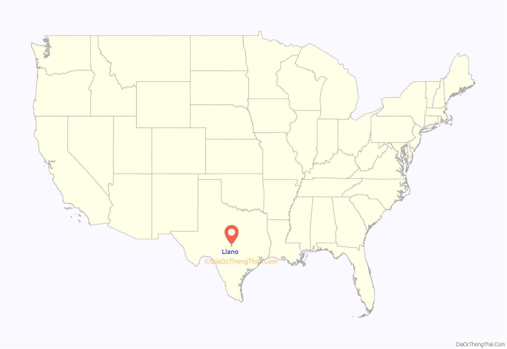
Llano location map. Where is Llano city?
History
Llano County was established in compliance with a February 1, 1856, state legislative act. The Llano River location was chosen in an election held on June 14, 1856, under a live oak on the south bank of the river, near the present site of Roy Inks Bridge in Llano. Into the 1870s, the town was little more than a frontier trading center, with a few log buildings housing business establishments, a post office, and a few homes. In 1879, the first bank, Moore, Foster, and Company, was founded, and during the 1880s, Llano acquired a number of new enterprises that served the county’s farmers and ranchers. After the county outgrew the one-story stone building that had housed its public offices, in 1885, an ornate brick courthouse was completed on the square on the south side of the river. A fire on January 22, 1892, destroyed this courthouse; the present county courthouse was completed and occupied on August 1, 1893. It is listed in the National Register of Historic Places.
In the 1880s the Llano Rural, the town’s first newspaper, was established, followed by the Iron City News, the name of which reflects growing interest in the county’s mineral resources. The Rural eventually incorporated several other newspapers, including the Advocate, the Searchlight, and the Gazette, to become the Llano News by the early 1900s. The Llano Times was where J. Marvin Hunter, author and historian of the American West, worked on the staff for a brief time early in the 20th century.
Anticipation of significant economic growth based on the iron deposits discovered at Iron Mountain in northwestern Llano County attracted capital from Dallas and from northern states, and the boom years of Llano-from 1886 to 1893-were launched. The Llano Improvement and Furnace Company undertook plans for an iron furnace and foundry, and the development of commercial real estate, on the hitherto undeveloped north side of the river. Charters were undertaken for a dam, an electric power plant, a streetcar system, and electric street lights, while expectations of growth were high. Steel-town names such as Birmingham, Pittsburgh, and Bessemer were chosen for streets on the north side; Llano was to be the “Pittsburgh of the West”, but only a small dam and the street lighting were completed. By one report, the population reached 7,000 in 1890. In 1892, at the peak of the boom period, the town was incorporated, the river was bridged, and the Austin and Northwestern Railroad was extended to a terminal on the north side of Llano. Because of the improved transportation, several granite-cutting and -finishing businesses moved to town in this period. Many of the new businesses were begun in the boom period, and substantial brick establishments were constructed around the public square on the north side of the river. Among these, the Algona Hotel became a focal point for the town’s new social life. It was damaged by a cyclone in 1900, and burned to the ground in 1923. Because the county’s mineral resources, with the significant exception of granite, did not exist in commercially exploitable concentrations, the boom period soon faded. Plans to connect Llano with Fredericksburg via an extension of the San Antonio and Aransas Pass Railway were not fulfilled. A series of fires in the early 1890s, probably set to collect insurance on unprofitable properties, destroyed many of the new business establishments. Such fires were so numerous, fire insurance was denied to the town for several years.
Farming, ranching, and the granite industry remained the foundations of the town’s economy in the 20th century. In the 1920s, Llano was a major shipping point for cattle; the cotton industry flourished in the county through the 1930s, but declined thereafter into insignificance. Granite quarrying and finishing retained their importance, amounting to a million-dollar-a-year industry by the 1950s. The Roy Inks Bridge, named for a former mayor, was built after a flood crest of 42 feet in 1935 swept away the 1892 structure. By 1964, the town had a new hospital, a post office, school buildings, a community center, a rodeo area, and a golf course, along with a city park and improved water system. Llano was an important link in the Highland Lakes chain of tourist areas, and attracted many hunters during the deer season. A winery, feed processing, and insecticide and commercial talc production represented new industry. Actress Sophia Loren, friend and correspondent of the Netherlands native Anthony Goossens, priest of Holy Trinity Catholic Church in Llano, contributed to the church fund-raising campaign in 1975. By 1983, the National Register of Historic Places listed, in addition to the courthouse, the Llano jail, the Southern Hotel, and the Badu Building, former bank and home of French immigrant and mineralogist N. J. Badu, now a bed-and-breakfast establishment.
Book bans
In 2021 County Judge Ron Cunningham removed books, such as In the Night Kitchen, from the shelves of the main library because they contained nudity. He also ordered librarians to pause buying new material and to purge any other books containing nudity. County commissioners dissolved the library board in 2022. The replacement board voted unanimously to close its meetings to the public to prevent observers from taking notes on the meetings. It removed more books, including Caste: The Origins of Our Discontents.
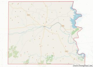
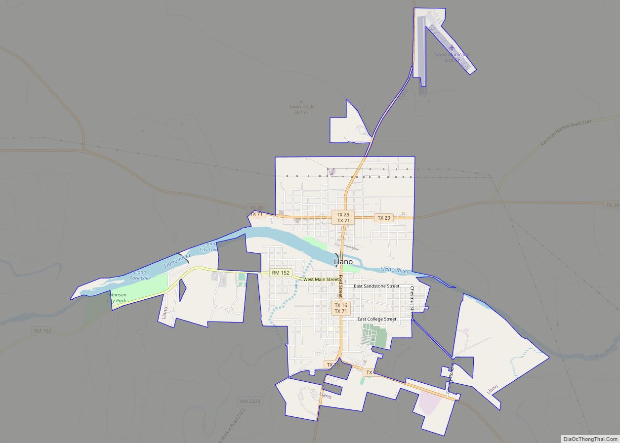
Llano Road Map
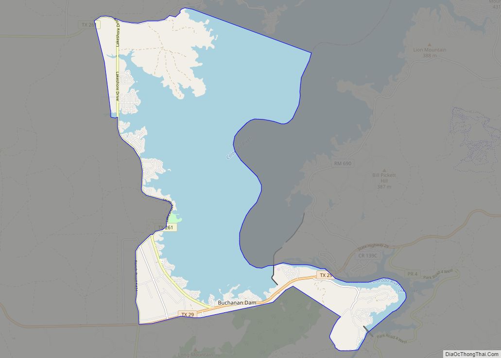
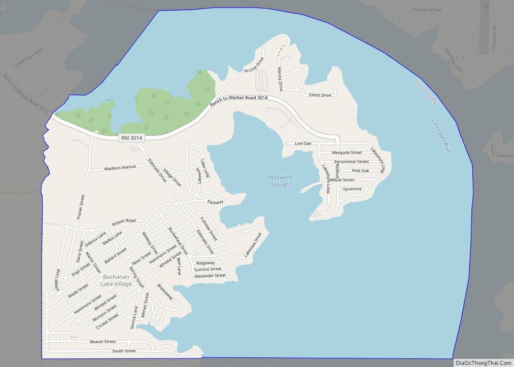
Llano city Satellite Map
Geography
Llano is located at 30°45′03″N 98°40′48″W / 30.750953°N 98.680038°W / 30.750953; -98.680038 (30.750953, –98.680038). It is on the Llano River, 65 miles (105 km) northwest of Austin and 102 mi (164 km) north of San Antonio.
According to the United States Census Bureau, the city has a total area of 4.7 sq mi (12 km), of which 0.3 sq mi (0.78 km) of it (5.53%) is covered by water.
See also
Map of Texas State and its subdivision:- Anderson
- Andrews
- Angelina
- Aransas
- Archer
- Armstrong
- Atascosa
- Austin
- Bailey
- Bandera
- Bastrop
- Baylor
- Bee
- Bell
- Bexar
- Blanco
- Borden
- Bosque
- Bowie
- Brazoria
- Brazos
- Brewster
- Briscoe
- Brooks
- Brown
- Burleson
- Burnet
- Caldwell
- Calhoun
- Callahan
- Cameron
- Camp
- Carson
- Cass
- Castro
- Chambers
- Cherokee
- Childress
- Clay
- Cochran
- Coke
- Coleman
- Collin
- Collingsworth
- Colorado
- Comal
- Comanche
- Concho
- Cooke
- Coryell
- Cottle
- Crane
- Crockett
- Crosby
- Culberson
- Dallam
- Dallas
- Dawson
- Deaf Smith
- Delta
- Denton
- Dewitt
- Dickens
- Dimmit
- Donley
- Duval
- Eastland
- Ector
- Edwards
- El Paso
- Ellis
- Erath
- Falls
- Fannin
- Fayette
- Fisher
- Floyd
- Foard
- Fort Bend
- Franklin
- Freestone
- Frio
- Gaines
- Galveston
- Garza
- Gillespie
- Glasscock
- Goliad
- Gonzales
- Gray
- Grayson
- Gregg
- Grimes
- Guadalupe
- Hale
- Hall
- Hamilton
- Hansford
- Hardeman
- Hardin
- Harris
- Harrison
- Hartley
- Haskell
- Hays
- Hemphill
- Henderson
- Hidalgo
- Hill
- Hockley
- Hood
- Hopkins
- Houston
- Howard
- Hudspeth
- Hunt
- Hutchinson
- Irion
- Jack
- Jackson
- Jasper
- Jeff Davis
- Jefferson
- Jim Hogg
- Jim Wells
- Johnson
- Jones
- Karnes
- Kaufman
- Kendall
- Kenedy
- Kent
- Kerr
- Kimble
- King
- Kinney
- Kleberg
- Knox
- La Salle
- Lamar
- Lamb
- Lampasas
- Lavaca
- Lee
- Leon
- Liberty
- Limestone
- Lipscomb
- Live Oak
- Llano
- Loving
- Lubbock
- Lynn
- Madison
- Marion
- Martin
- Mason
- Matagorda
- Maverick
- McCulloch
- McLennan
- McMullen
- Medina
- Menard
- Midland
- Milam
- Mills
- Mitchell
- Montague
- Montgomery
- Moore
- Morris
- Motley
- Nacogdoches
- Navarro
- Newton
- Nolan
- Nueces
- Ochiltree
- Oldham
- Orange
- Palo Pinto
- Panola
- Parker
- Parmer
- Pecos
- Polk
- Potter
- Presidio
- Rains
- Randall
- Reagan
- Real
- Red River
- Reeves
- Refugio
- Roberts
- Robertson
- Rockwall
- Runnels
- Rusk
- Sabine
- San Augustine
- San Jacinto
- San Patricio
- San Saba
- Schleicher
- Scurry
- Shackelford
- Shelby
- Sherman
- Smith
- Somervell
- Starr
- Stephens
- Sterling
- Stonewall
- Sutton
- Swisher
- Tarrant
- Taylor
- Terrell
- Terry
- Throckmorton
- Titus
- Tom Green
- Travis
- Trinity
- Tyler
- Upshur
- Upton
- Uvalde
- Val Verde
- Van Zandt
- Victoria
- Walker
- Waller
- Ward
- Washington
- Webb
- Wharton
- Wheeler
- Wichita
- Wilbarger
- Willacy
- Williamson
- Wilson
- Winkler
- Wise
- Wood
- Yoakum
- Young
- Zapata
- Zavala
- Alabama
- Alaska
- Arizona
- Arkansas
- California
- Colorado
- Connecticut
- Delaware
- District of Columbia
- Florida
- Georgia
- Hawaii
- Idaho
- Illinois
- Indiana
- Iowa
- Kansas
- Kentucky
- Louisiana
- Maine
- Maryland
- Massachusetts
- Michigan
- Minnesota
- Mississippi
- Missouri
- Montana
- Nebraska
- Nevada
- New Hampshire
- New Jersey
- New Mexico
- New York
- North Carolina
- North Dakota
- Ohio
- Oklahoma
- Oregon
- Pennsylvania
- Rhode Island
- South Carolina
- South Dakota
- Tennessee
- Texas
- Utah
- Vermont
- Virginia
- Washington
- West Virginia
- Wisconsin
- Wyoming
