Mercedes is a U.S. city in Hidalgo County, Texas. The population was 15,570 at the 2010 census. It is part of the McAllen–Edinburg–Mission and Reynosa–McAllen metropolitan areas.
| Name: | Mercedes city |
|---|---|
| LSAD Code: | 25 |
| LSAD Description: | city (suffix) |
| State: | Texas |
| County: | Hidalgo County |
| Elevation: | 69 ft (21 m) |
| Total Area: | 11.86 sq mi (30.72 km²) |
| Land Area: | 11.80 sq mi (30.56 km²) |
| Water Area: | 0.06 sq mi (0.17 km²) |
| Total Population: | 15,570 |
| Population Density: | 1,407.24/sq mi (543.34/km²) |
| ZIP code: | 78570 |
| Area code: | 956 |
| FIPS code: | 4847700 |
| GNISfeature ID: | 1341366 |
| Website: | cityofmercedes.com |
Online Interactive Map
Click on ![]() to view map in "full screen" mode.
to view map in "full screen" mode.
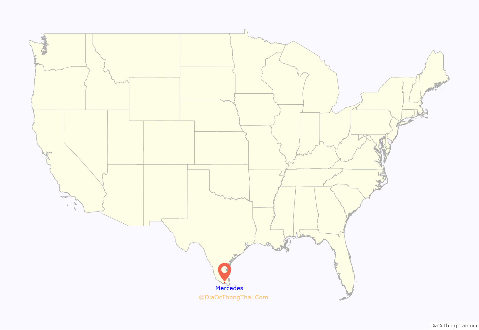
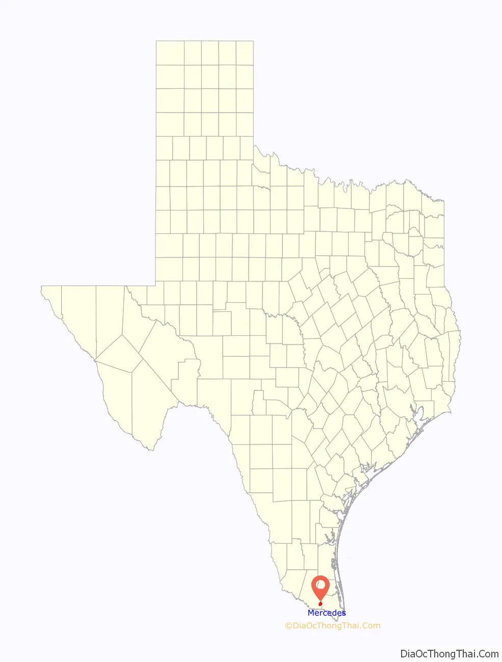
Mercedes location map. Where is Mercedes city?
History
Mercedes is known as “The Queen City of the Valley” or “La Reina del Valle”. Mercedes was founded September 15, 1907, by the American Rio Grande Land & Irrigation Company, and was incorporated March 8, 1909. It is one of the oldest towns in the Rio Grande Valley, and the city celebrated its centennial in 2007.
The city was located in Capisallo Pasture, part of Capisallo Ranch owned by Jim Welles. This location was known as the Pear Orchard because of the vast numbers of prickly pear cactus growing there at that time.
Some sources state that the original name given to the city was “Diaz” in honor of Porfirio Diaz, then president of Mexico. Later it was supposedly renamed “Mercedes Diaz” in honor of the president’s wife, and from that, Mercedes became the Queen City. This story, however, is historically inaccurate, given that neither of Diaz’s two wives were named Mercedes.
General Zachary Taylor’s headquarters was to the southeast of Mercedes near the Rio Grande. There the old Rabb Ranch was famous for its stagecoach stop and landing for the riverboats carrying supplies to the settlements and military installations.
The old Toluca Ranch still stands east of the International Bridge at Progreso, the sister city to the south. This ranch was close to the river and a prized target for the bandidos during the days of Pancho Villa. It was built with many secret rooms and passages, and had heavy wooden shutters on the windows to protect its residents.
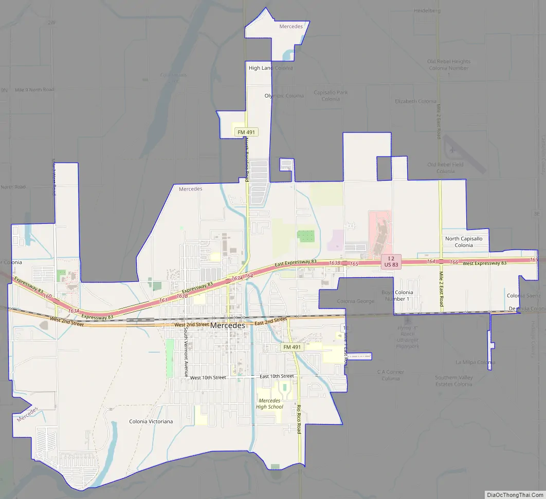
Mercedes Road Map
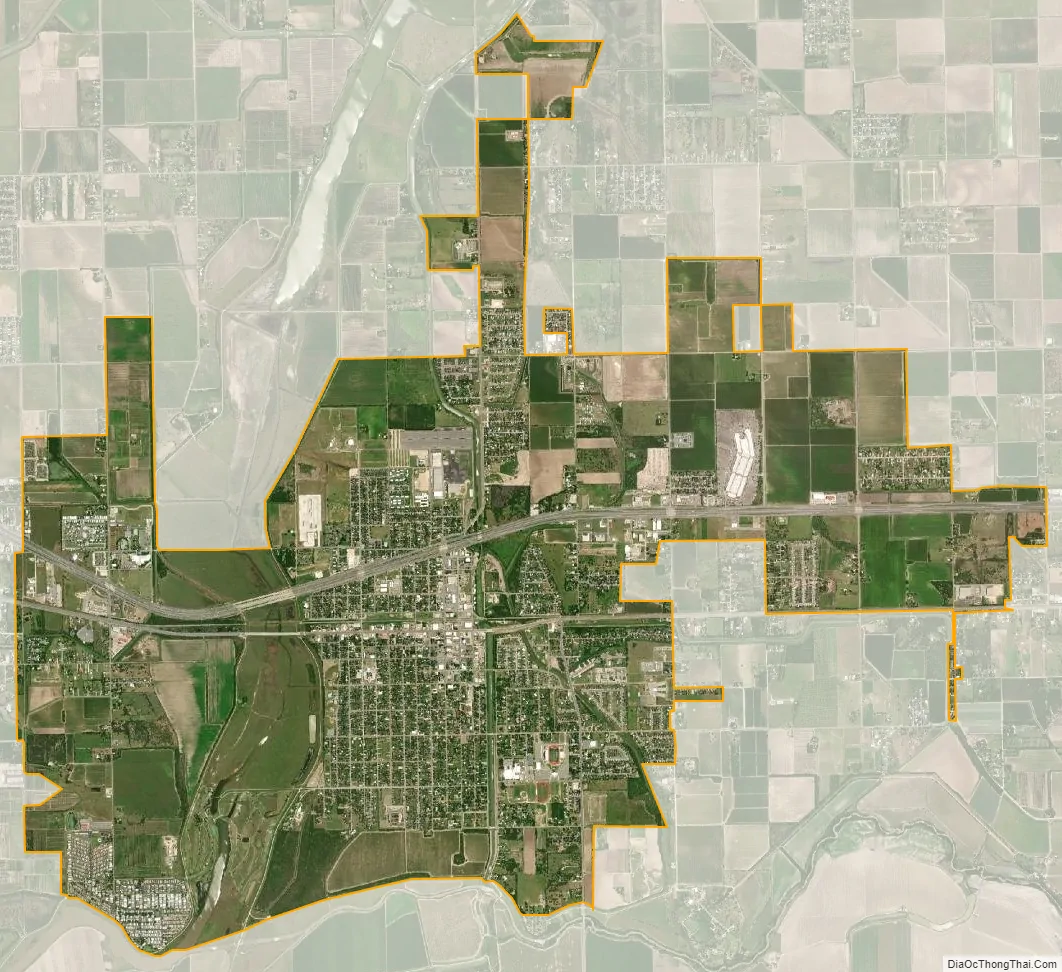
Mercedes city Satellite Map
Geography
Mercedes is located in southeastern Hidalgo County at 26°8′58″N 97°55′7″W / 26.14944°N 97.91861°W / 26.14944; -97.91861 (26.149315, –97.918675). It is bordered to the west by Weslaco and to the east, in Cameron County, by La Feria.
The Interstate 2/U.S. Route 83 freeway passes through the northern side of Mercedes, leading west 21 miles (34 km) to McAllen and east 14 miles (23 km) to Harlingen. Mercedes is 9 miles (14 km) north of the Progreso–Nuevo Progreso International Bridge over the Rio Grande, connecting Texas with the Mexican state of Tamaulipas.
According to the United States Census Bureau, Mercedes has a total area of 11.5 square miles (29.8 km), of which 11.4 square miles (29.6 km) are land and 0.1 square miles (0.2 km), or 0.55%, are water.
See also
Map of Texas State and its subdivision:- Anderson
- Andrews
- Angelina
- Aransas
- Archer
- Armstrong
- Atascosa
- Austin
- Bailey
- Bandera
- Bastrop
- Baylor
- Bee
- Bell
- Bexar
- Blanco
- Borden
- Bosque
- Bowie
- Brazoria
- Brazos
- Brewster
- Briscoe
- Brooks
- Brown
- Burleson
- Burnet
- Caldwell
- Calhoun
- Callahan
- Cameron
- Camp
- Carson
- Cass
- Castro
- Chambers
- Cherokee
- Childress
- Clay
- Cochran
- Coke
- Coleman
- Collin
- Collingsworth
- Colorado
- Comal
- Comanche
- Concho
- Cooke
- Coryell
- Cottle
- Crane
- Crockett
- Crosby
- Culberson
- Dallam
- Dallas
- Dawson
- Deaf Smith
- Delta
- Denton
- Dewitt
- Dickens
- Dimmit
- Donley
- Duval
- Eastland
- Ector
- Edwards
- El Paso
- Ellis
- Erath
- Falls
- Fannin
- Fayette
- Fisher
- Floyd
- Foard
- Fort Bend
- Franklin
- Freestone
- Frio
- Gaines
- Galveston
- Garza
- Gillespie
- Glasscock
- Goliad
- Gonzales
- Gray
- Grayson
- Gregg
- Grimes
- Guadalupe
- Hale
- Hall
- Hamilton
- Hansford
- Hardeman
- Hardin
- Harris
- Harrison
- Hartley
- Haskell
- Hays
- Hemphill
- Henderson
- Hidalgo
- Hill
- Hockley
- Hood
- Hopkins
- Houston
- Howard
- Hudspeth
- Hunt
- Hutchinson
- Irion
- Jack
- Jackson
- Jasper
- Jeff Davis
- Jefferson
- Jim Hogg
- Jim Wells
- Johnson
- Jones
- Karnes
- Kaufman
- Kendall
- Kenedy
- Kent
- Kerr
- Kimble
- King
- Kinney
- Kleberg
- Knox
- La Salle
- Lamar
- Lamb
- Lampasas
- Lavaca
- Lee
- Leon
- Liberty
- Limestone
- Lipscomb
- Live Oak
- Llano
- Loving
- Lubbock
- Lynn
- Madison
- Marion
- Martin
- Mason
- Matagorda
- Maverick
- McCulloch
- McLennan
- McMullen
- Medina
- Menard
- Midland
- Milam
- Mills
- Mitchell
- Montague
- Montgomery
- Moore
- Morris
- Motley
- Nacogdoches
- Navarro
- Newton
- Nolan
- Nueces
- Ochiltree
- Oldham
- Orange
- Palo Pinto
- Panola
- Parker
- Parmer
- Pecos
- Polk
- Potter
- Presidio
- Rains
- Randall
- Reagan
- Real
- Red River
- Reeves
- Refugio
- Roberts
- Robertson
- Rockwall
- Runnels
- Rusk
- Sabine
- San Augustine
- San Jacinto
- San Patricio
- San Saba
- Schleicher
- Scurry
- Shackelford
- Shelby
- Sherman
- Smith
- Somervell
- Starr
- Stephens
- Sterling
- Stonewall
- Sutton
- Swisher
- Tarrant
- Taylor
- Terrell
- Terry
- Throckmorton
- Titus
- Tom Green
- Travis
- Trinity
- Tyler
- Upshur
- Upton
- Uvalde
- Val Verde
- Van Zandt
- Victoria
- Walker
- Waller
- Ward
- Washington
- Webb
- Wharton
- Wheeler
- Wichita
- Wilbarger
- Willacy
- Williamson
- Wilson
- Winkler
- Wise
- Wood
- Yoakum
- Young
- Zapata
- Zavala
- Alabama
- Alaska
- Arizona
- Arkansas
- California
- Colorado
- Connecticut
- Delaware
- District of Columbia
- Florida
- Georgia
- Hawaii
- Idaho
- Illinois
- Indiana
- Iowa
- Kansas
- Kentucky
- Louisiana
- Maine
- Maryland
- Massachusetts
- Michigan
- Minnesota
- Mississippi
- Missouri
- Montana
- Nebraska
- Nevada
- New Hampshire
- New Jersey
- New Mexico
- New York
- North Carolina
- North Dakota
- Ohio
- Oklahoma
- Oregon
- Pennsylvania
- Rhode Island
- South Carolina
- South Dakota
- Tennessee
- Texas
- Utah
- Vermont
- Virginia
- Washington
- West Virginia
- Wisconsin
- Wyoming


