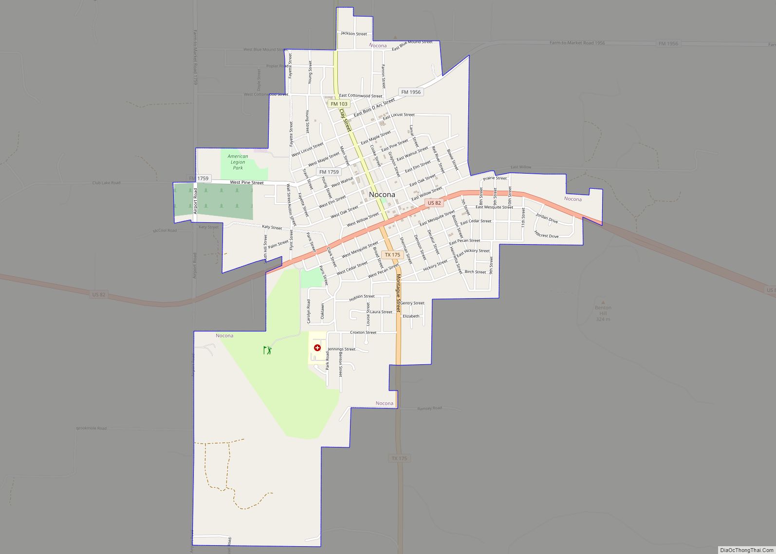
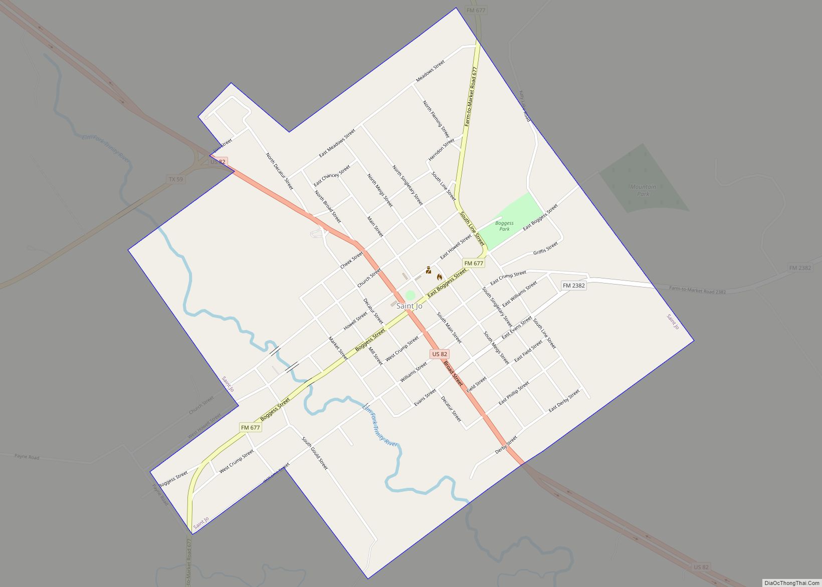
Nocona is a city along U.S. Highway 82 and State Highway 175 in Montague County, Texas, United States. The population was 3,033 at the 2010 census. The city, its lake, and its resurgence as a regional travel destination were featured in the June 2012 edition of Texas Highways magazine.
| Name: | Nocona city |
|---|---|
| LSAD Code: | 25 |
| LSAD Description: | city (suffix) |
| State: | Texas |
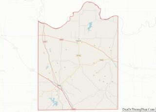
| County: | Montague County |
| Elevation: | 981 ft (299 m) |
| Total Area: | 2.81 sq mi (7.29 km²) |
| Land Area: | 2.81 sq mi (7.29 km²) |
| Water Area: | 0.00 sq mi (0.00 km²) |
| Total Population: | 3,033 |
| Population Density: | 1,066.43/sq mi (411.82/km²) |
| ZIP code: | 76255 |
| Area code: | 940 |
| FIPS code: | 4851648 |
| GNISfeature ID: | 1363946 |
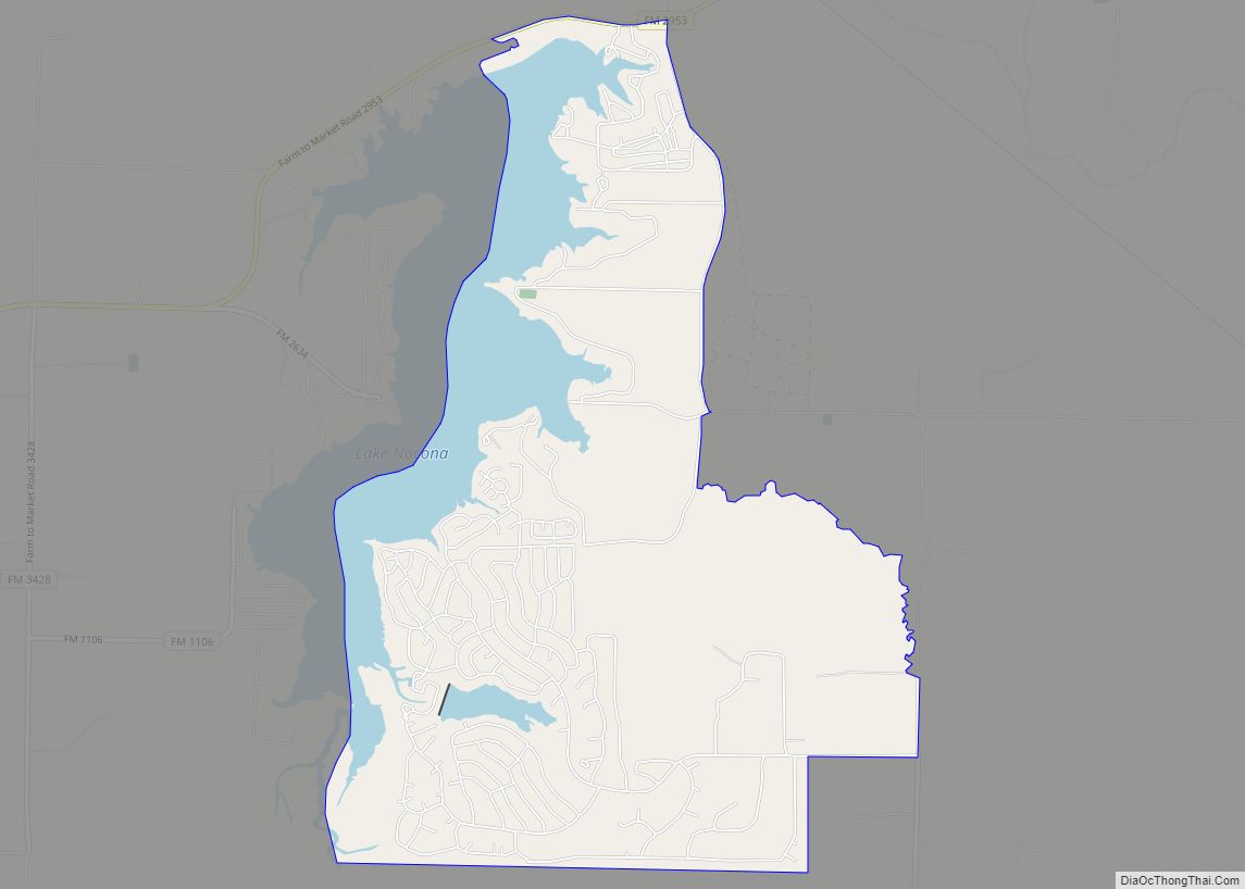
Online Interactive Map
Click on ![]() to view map in "full screen" mode.
to view map in "full screen" mode.
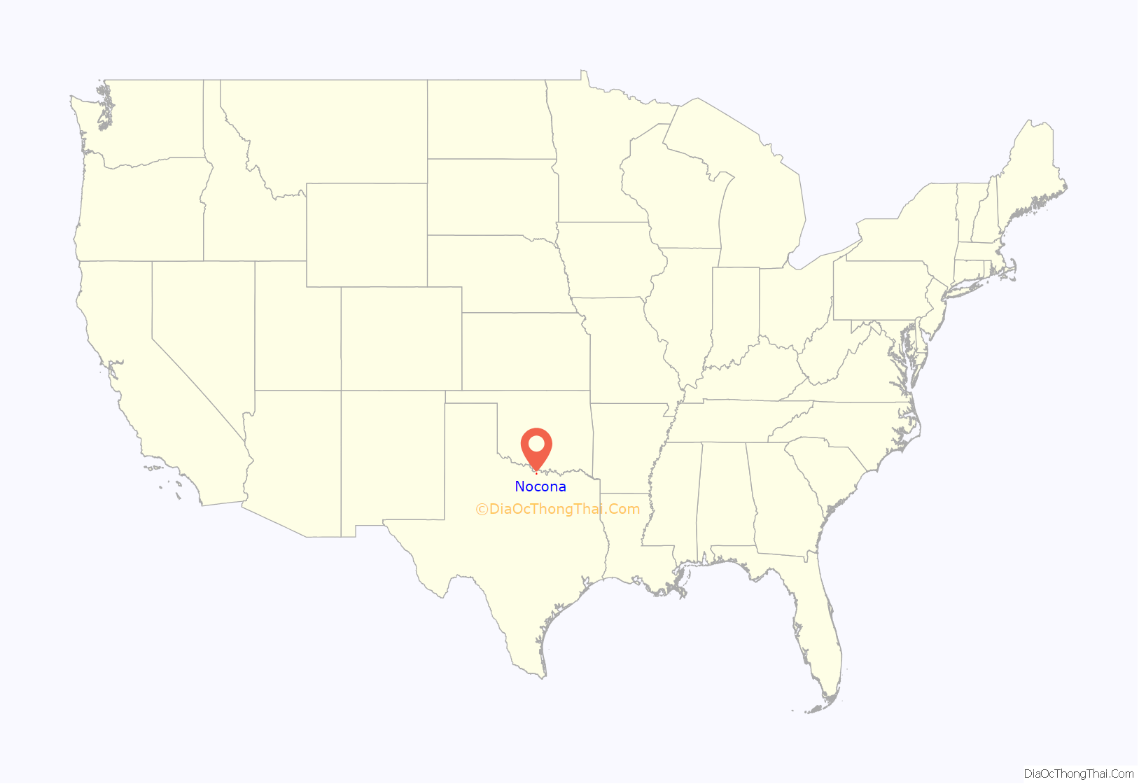
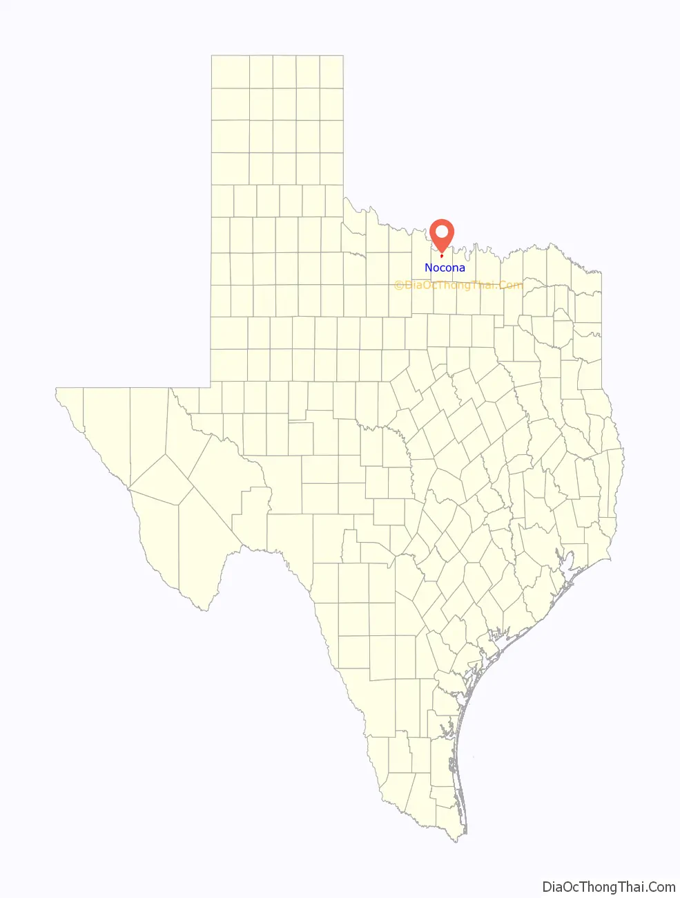
Nocona location map. Where is Nocona city?
History
The city is named for Peta Nocona, the Comanche chief. The area was first known to white settlers as the last stop in Texas before crossing the Red River on the Chisolm Trail. It was founded in 1887 along a particular bend in the Gainesville, Henrietta and Western Railway line, which soon became part of the Missouri-Kansas-Texas Railroad, connecting Gainesville and Henrietta, and later Wichita Falls. Nocona assumed the role of economic and industrial center of northern Montague County, and many older towns in the area, bypassed by the railroad, and its businesses shuttered. Its citizens moved to Nocona. The city has steadily maintained a population around 3000 since the 1940s, though industries responsible for its growth have come and gone. The “North Field”, an oil field between Nocona and the Red River, contributed to Nocona’s economy for much of the 20th century and continues to do so on a small scale. The MKT line, which was responsible for Nocona’s founding, was abandoned in 1969 and the tracks removed in 1971. Nocona also has a proud history of leather works and has been home to Justin Industries, Nocona Boot Company, and the Nocona Belt Company. Nocona Boot Company and Justin Industries have since moved; however, the Montague Boot Company has been established in downtown Nocona, making boots for the Larry Mahan line at Cavender’s Boot City. Also integral to the Nocona economy is the Nocona Athletic Goods Company (product names are spelled “Nokona”), which manufactures baseball gloves, bats, catcher’s equipment, and other sports accessories. The Athletic Goods’ facilities burned in July 2006, and production has been moved to a temporary facility. Significant efforts are currently underway to revitalize the Clay Street downtown area. See an example of refurbishing a downtown landmark from start to finish at the F&M Bank Face Lift Project.
Nocona has a lake, about 10 miles north of the city, appropriately named Lake Nocona, or Farmer’s Creek Reservoir. It is a recreational lake popular with people from across north-central Texas. On Lake Nocona sits Nocona Hills, an attractive gated lakeside “city” with many homes, a hotel, golf course, landing strip, and other amenities. Nocona is also home to an 18-hole golf course, airstrip (FAA identifier F48), hospital, and one of the finest city parks in Texas.
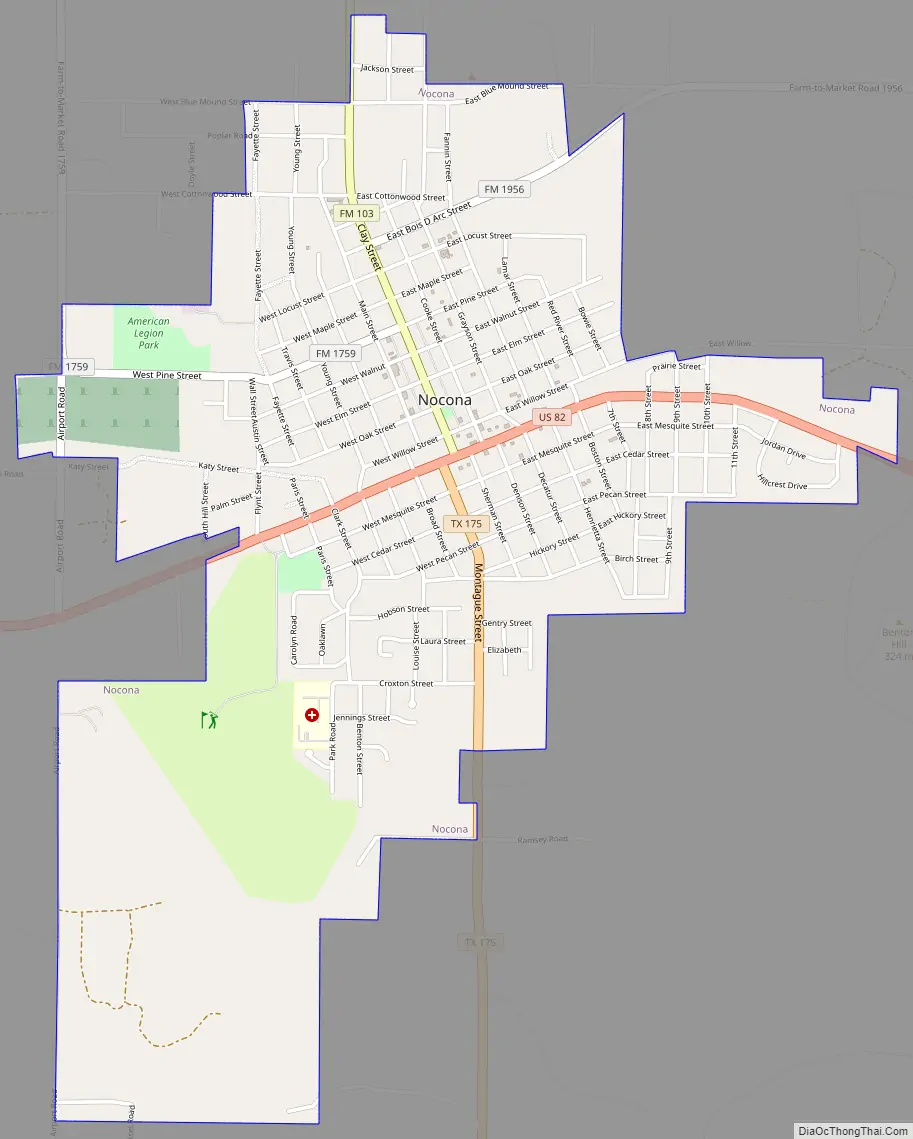
Nocona Road Map
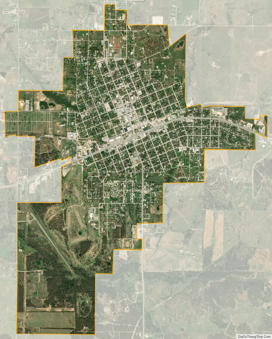
Nocona city Satellite Map
Geography
Nocona is located at 33°47′18″N 97°43′35″W / 33.78833°N 97.72639°W / 33.78833; -97.72639.
According to the United States Census Bureau, the city has a total area of 2.8 square miles (7.3 km), all of it land.
See also
Map of Texas State and its subdivision:- Anderson
- Andrews
- Angelina
- Aransas
- Archer
- Armstrong
- Atascosa
- Austin
- Bailey
- Bandera
- Bastrop
- Baylor
- Bee
- Bell
- Bexar
- Blanco
- Borden
- Bosque
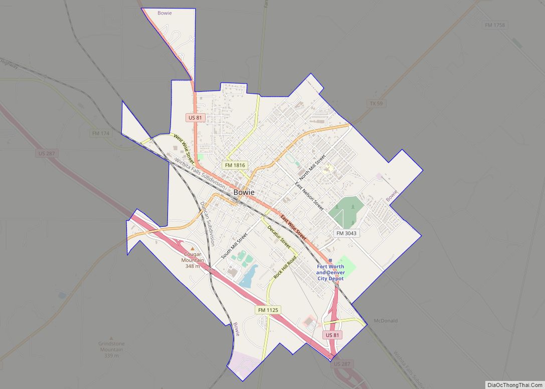
- Bowie
- Brazoria
- Brazos
- Brewster
- Briscoe
- Brooks
- Brown
- Burleson
- Burnet
- Caldwell
- Calhoun
- Callahan
- Cameron
- Camp
- Carson
- Cass
- Castro
- Chambers
- Cherokee
- Childress
- Clay
- Cochran
- Coke
- Coleman
- Collin
- Collingsworth
- Colorado
- Comal
- Comanche
- Concho
- Cooke
- Coryell
- Cottle
- Crane
- Crockett
- Crosby
- Culberson
- Dallam
- Dallas
- Dawson
- Deaf Smith
- Delta
- Denton
- Dewitt
- Dickens
- Dimmit
- Donley
- Duval
- Eastland
- Ector
- Edwards
- El Paso
- Ellis
- Erath
- Falls
- Fannin
- Fayette
- Fisher
- Floyd
- Foard
- Fort Bend
- Franklin
- Freestone
- Frio
- Gaines
- Galveston
- Garza
- Gillespie
- Glasscock
- Goliad
- Gonzales
- Gray
- Grayson
- Gregg
- Grimes
- Guadalupe
- Hale
- Hall
- Hamilton
- Hansford
- Hardeman
- Hardin
- Harris
- Harrison
- Hartley
- Haskell
- Hays
- Hemphill
- Henderson
- Hidalgo
- Hill
- Hockley
- Hood
- Hopkins
- Houston
- Howard
- Hudspeth
- Hunt
- Hutchinson
- Irion
- Jack
- Jackson
- Jasper
- Jeff Davis
- Jefferson
- Jim Hogg
- Jim Wells
- Johnson
- Jones
- Karnes
- Kaufman
- Kendall
- Kenedy
- Kent
- Kerr
- Kimble
- King
- Kinney
- Kleberg
- Knox
- La Salle
- Lamar
- Lamb
- Lampasas
- Lavaca
- Lee
- Leon
- Liberty
- Limestone
- Lipscomb
- Live Oak
- Llano
- Loving
- Lubbock
- Lynn
- Madison
- Marion
- Martin
- Mason
- Matagorda
- Maverick
- McCulloch
- McLennan
- McMullen
- Medina
- Menard
- Midland
- Milam
- Mills
- Mitchell
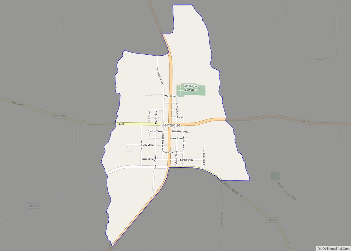
- Montague
- Montgomery
- Moore
- Morris
- Motley
- Nacogdoches
- Navarro
- Newton
- Nolan
- Nueces
- Ochiltree
- Oldham
- Orange
- Palo Pinto
- Panola
- Parker
- Parmer
- Pecos
- Polk
- Potter
- Presidio
- Rains
- Randall
- Reagan
- Real
- Red River
- Reeves
- Refugio
- Roberts
- Robertson
- Rockwall
- Runnels
- Rusk
- Sabine
- San Augustine
- San Jacinto
- San Patricio
- San Saba
- Schleicher
- Scurry
- Shackelford
- Shelby
- Sherman
- Smith
- Somervell
- Starr
- Stephens
- Sterling
- Stonewall
- Sutton
- Swisher
- Tarrant
- Taylor
- Terrell
- Terry
- Throckmorton
- Titus
- Tom Green
- Travis
- Trinity
- Tyler
- Upshur
- Upton
- Uvalde
- Val Verde
- Van Zandt
- Victoria
- Walker
- Waller
- Ward
- Washington
- Webb
- Wharton
- Wheeler
- Wichita
- Wilbarger
- Willacy
- Williamson
- Wilson
- Winkler
- Wise
- Wood
- Yoakum
- Young
- Zapata
- Zavala
- Alabama
- Alaska
- Arizona
- Arkansas
- California
- Colorado
- Connecticut
- Delaware
- District of Columbia
- Florida
- Georgia
- Hawaii
- Idaho
- Illinois
- Indiana
- Iowa
- Kansas
- Kentucky
- Louisiana
- Maine
- Maryland
- Massachusetts
- Michigan
- Minnesota
- Mississippi
- Missouri
- Montana
- Nebraska
- Nevada
- New Hampshire
- New Jersey
- New Mexico
- New York
- North Carolina
- North Dakota
- Ohio
- Oklahoma
- Oregon
- Pennsylvania
- Rhode Island
- South Carolina
- South Dakota
- Tennessee
- Texas
- Utah
- Vermont
- Virginia
- Washington
- West Virginia
- Wisconsin
- Wyoming